|
|
|
Date: May 30, 2021
• Elevation: 3,140 feet
• Prominence: 440 feet
• Distance: 2.2 miles
• Time: 1 hour
• Gain: 410 feet
• Conditions: Hot, but with clouds to mute the heat
Utah
•
PB
Overview: I spent three days in the St. George area, hiking anything that looked interesting, fun or both. I was not picky, and I was an opportunist, tagging a few hilltops simply because they were convenient. I visited nine ranked summits in the region, all short hikes, but cumulatively hiked about 15 miles and about 4,500 feet of elevation gain.
My agenda:
- Saturday, May 29:
- Sunday, May 30:
- Monday, May 31:
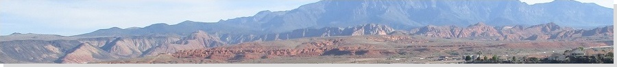
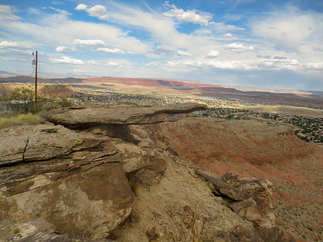
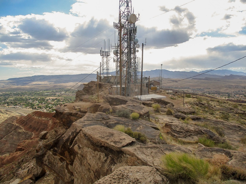
Webb Hill lies in the south part of St. George, between Interstate-15 and River Road. It has a scarp-like profile, with south-facing cliffs and long desert slopes facing north. The top is crowned by a bunch of communications towers. A gravel road runs up from the houses below and the hill is apparently popular with local joggers and bicyclists.
I had hiked two hills in town already today, and then got myself situated in my hotel room around 2, just to veg on the bed and enjoy the air conditioning. It was a hot day, mid-90s, and I wanted to let the sun set lower before starting this hike.
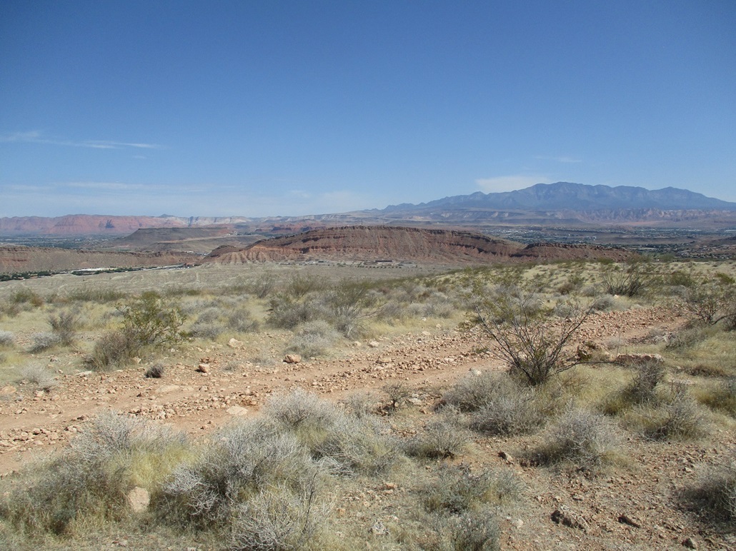
From my hotel, I took the Brigham exit off Interstate-15 eastbound to River Road, then north to Fort Pierce North road heading west, then into smaller residential streets. The gravel road to the top starts at the end of Hillside Road. The road itself is very steep, so I parked down lower, where Hillside and Fort Pierce Road intersect.
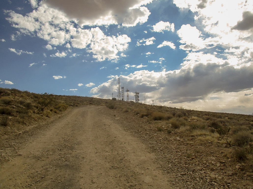
I started hiking about 5 p.m., the day still warm, low 90s, but now with some clouds helping to block the sun which took the edge off the ambient heat. The gravel road is pitched gently and I made good time, covering the mile uphill hike in about twenty minutes.
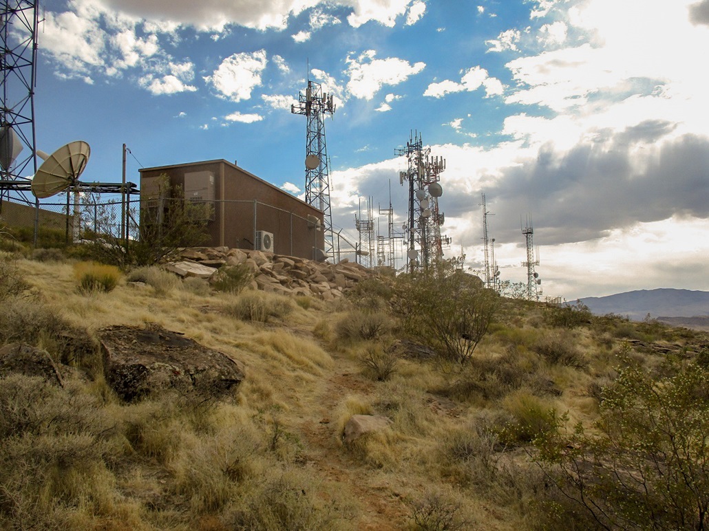
I walked up and past some towers and buildings to get on the lip of the hill. A handful of large boulders here could be the highest point, including one plank-like rock extending out about fifteen feet over the cliffs. I then walked west toward more towers, these enclosed by fencing and razor wire. I walked down and around, but there was no way in past the fencing, and in my opinion, not necessary, as I felt those rocks to the east were higher anyway.
I then walked down back to my car, the round trip hike taking about an hour. Given the heat, it wasn't an uncomfortable hike at all. I drove back to my hotel, showered, then went on a hunt for the evening meal. Within walking distance from my hotel are a few fast-food places like McDonalds, Burger King and Dairy Queen. Today, I wasn't picky and a small burger and fries would do nicely. But their walk-in options were closed. You are obliged to use the drive through. It felt wrong and stupid to walk back a hundred feet to the hotel to go get my car just to get in a long line to get my food. So I ate at a Denny's, where I could go inside.
The next day, I started my long drive back to Flagstaff, but still had time to hike two more volcanic mounds up by the town of Hurricane. My passenger rear tire got a slow leak so I had to fill it with air along the way.
|