The Mountains of Utah
• www.surgent.net
|
| Harrisburg Bench |
• Quail Creek & Virgin River Confluence • City of Hurricane • Washington County |
|
Date: May 29, 2021
• Elevation: 3,607 feet
• Prominence: 367 feet
• Distance: 1.2 miles
• Time: 1 hour
• Gain: 327 feet
• Conditions: Hot, but cloudy and a low sun in the west so not too bad
Utah
•
PB
Overview: I spent three days in the St. George area, hiking anything that looked interesting, fun or both. I was not picky, and I was an opportunist, tagging a few hilltops simply because they were convenient. I visited nine ranked summits in the region, all short hikes, but cumulatively hiked about 15 miles and about 4,500 feet of elevation gain.
My agenda:
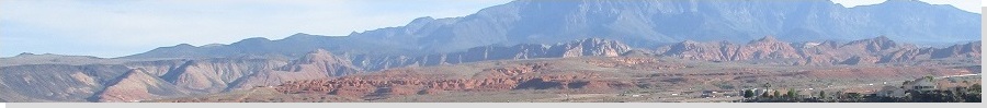
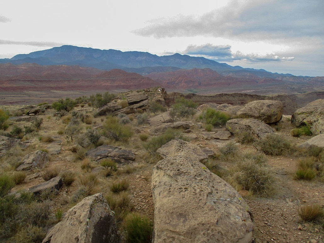
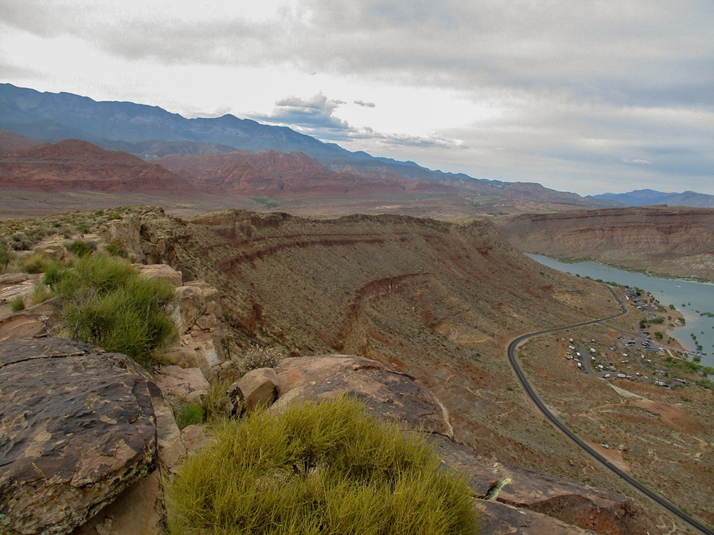
Harrisburg Bench is a row of cliffs along Interstate-15, technically inside the Hurricane city limits. It has a similar appearance to many of the hills in the region, in which one side is sloping vegetated hillsides, and the other side is steep cliffs. In this case, the gentle slopes face west, and the cliffs face east, overlooking Quail Creek and the Virgin River.
This would be my fourth hike of the day. I was tired and hot, but this hike was close by, easy to access and did not appear to take long. From Interstate-15, I took Exit 16, state route UT-9, east about a mile, then left at a light onto North 6300 West, which meanders generally northeast, paralleling the interstate. It passes through an area of light industry. After the last of the buildings, the road narrows and is now a frontage to the interstate (I may be wrong, but this road may be Old US-91). At a small billboard at where the road narrows, I turned right onto a decent track that led for about a half-mile to the base of the hills, below some power lines.
I parked my car in a random spot and locked everything up. It was aboit 5:30 p.m., the sun now low in the western sky, the high clouds of the day still lingering and helping take the edge off the heat. My car's temperature gauge said 95 degrees when I parked, but with the clouds and low sun, the heat was tolerable. This would be a short hike anyway.
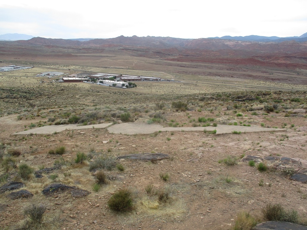
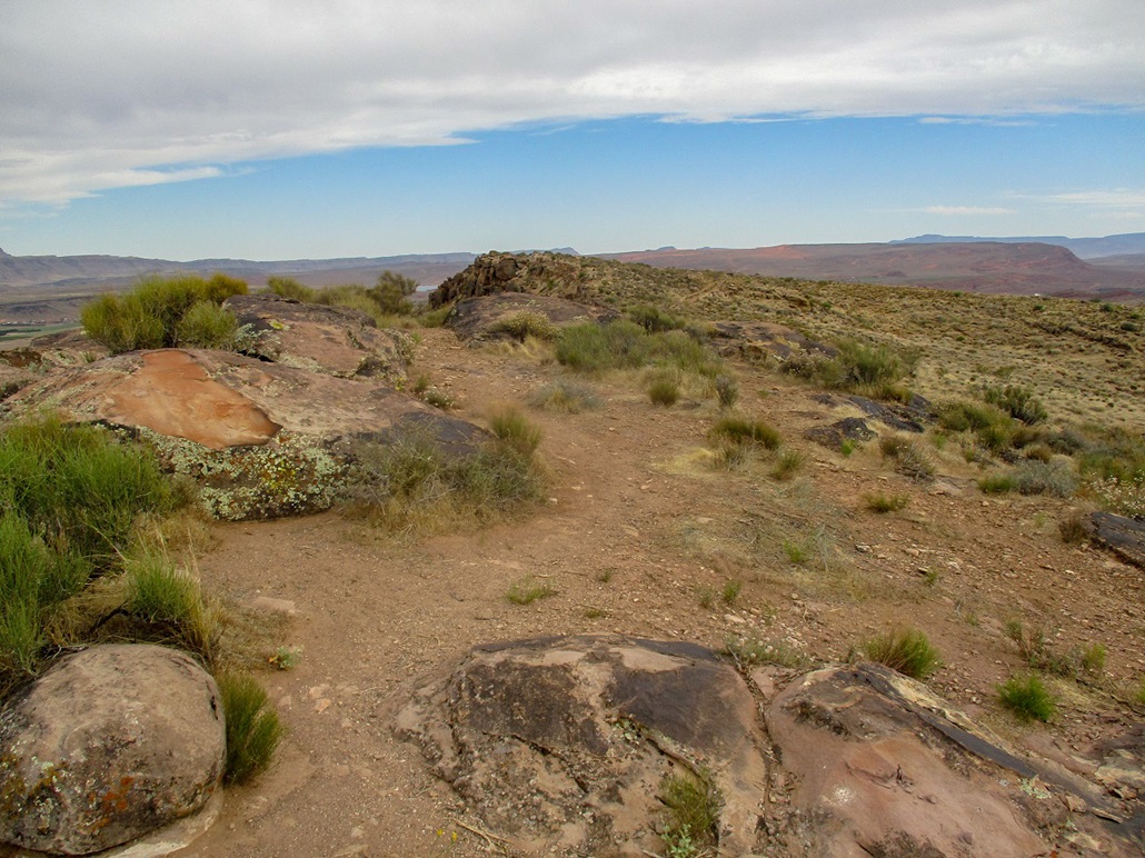
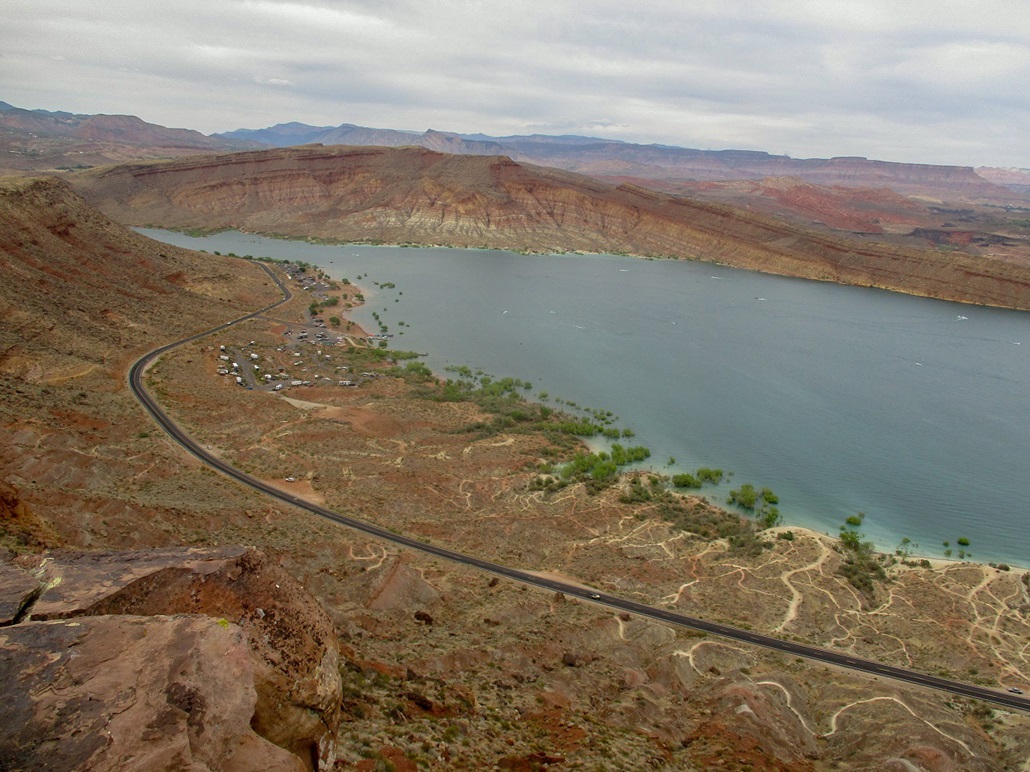
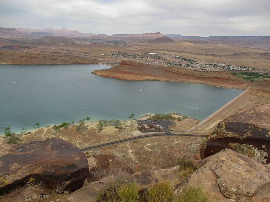
I walked up a badly-eroded track up the hillside. It achieves a gentler slope and aims for a hill up on the skyline, about a half-mile away. About half-way, the track splits. I took the better (left) track, which led to a hilltop and one of those concrete directional arrows put in about a century ago to help pilots navigate before the days of radios, radar and GPS. It was clear that the hill immediately south was a few feet higher. Had I taken a right at that split down below, that road would have led here. However, I found a good path on the edge of the ridge that led to this higher southern summit. I tagged the top rocks and snapped some inages, then returned to the north summit, and followed the road back to my car. The views from up top were quite good, especially of the Quail Creek State Park and dammed lake down below.
Afterwards, I drove back to the main highway (UT-9) and got a couple images of the cliffs, but lighting was lousy and I did not save those images. I was done hiking for the day. Now I was hungry. I drove south to St. George Boulevard and found a Cracker Barrel restaurant. Now it was time to set up a camp. Hotels on this Saturday evening of Memorial Day weekend were all sold out or going for $250, even crappy ones like at the low-end chains.
With the sun about an hour away from setting, I drove south to the Southern Parkway (UT-7) and exited at River Road, going south, immediately into Arizona. The land here is undeveloped. People had staked out some spots with their RVs and trucks. I drove about ten miles along the main road, then a half-mile on a lesser road past a small hill and found a lovely cleared area where I would set up my camp for the night.
The temperature dropped steadily so that by 8 p.m., when the sun was mostly set, the temperatures were in the 70s, very comfortable. I slept on a cot in the open, then around midnight, the day's high clouds having moved on, a waning gibbous moon rose and lit up everything in that wonderful surreal moonlight. I slept well, although I woke at most noises, mainly engines of distant vehicles. Camping was good for my head and soul. I didn't do much other than sit in my camp chair and let my mind rest. Today had gone well, and hopefully tomorrow would too.
|

|