|
|
|
Date: May 29, 2021
• Elevation: 5,239 feet
• Prominence: 599 feet
• Distance: 2.4 miles
• Time: 1 hour, 15 minutes
• Gain: 620 feet
• Conditions: Warm, cloud cover, somewhat humid
Utah
•
PB
Overview: I spent three days in the St. George area, hiking anything that looked interesting, fun or both. I was not picky, and I was an opportunist, tagging a few hilltops simply because they were convenient. I visited nine ranked summits in the region, all short hikes, but cumulatively hiked about 15 miles and about 4,500 feet of elevation gain.
My agenda:
- Saturday, May 29:
- Sunday, May 30:
- Monday, May 31:
After eight days in Nevada with my father, I began the latter leg of my vacation. Rather than just go back to Payson directly, I chose to stretch it over a few days and take the scenic route through St. George, Utah, then eventually through Page, Arizona and south from there. This would be my first time back in Utah since 2010. I cannot believe it has been that long. Shame on me.
It was most bittersweet leaving my dad in Henderson, Nevada. The eight days there were helpful to me as I handle my situation in Payson, and in that time I feel I healed a lot, but leaving, the emotions were intense. I was looking forward to some hiking in Utah, but not the eventual return to Payson. My anxiety was through the roof.
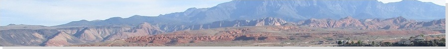
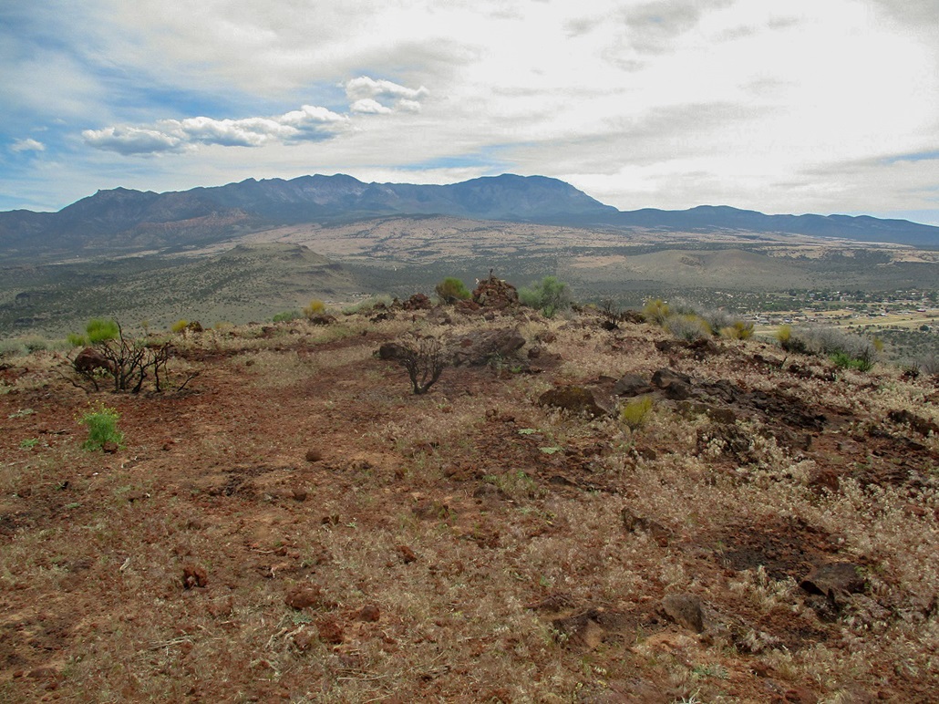
I left Henderson early and followed Insterstate-15 about a hundred miles through Mesquite, then briefly inside Arizona. My plan today was to locate myself north of St. George and hike a few bumps up in the highlands, so there was no need to go through St. George directly. Instead, I exited at the Beaver Dam exit and followed Old US-91 (the precursor to Interstate-15) northbound. Traffic was light and I made good time. The land here is Mojave Desert and hills, then suddenly, bam, red rocks and cliffs. Once in Utah, I then followed another county-maintained road through the town of Gunlock and then to Veyo, a small village about 30 miles north of St. George.
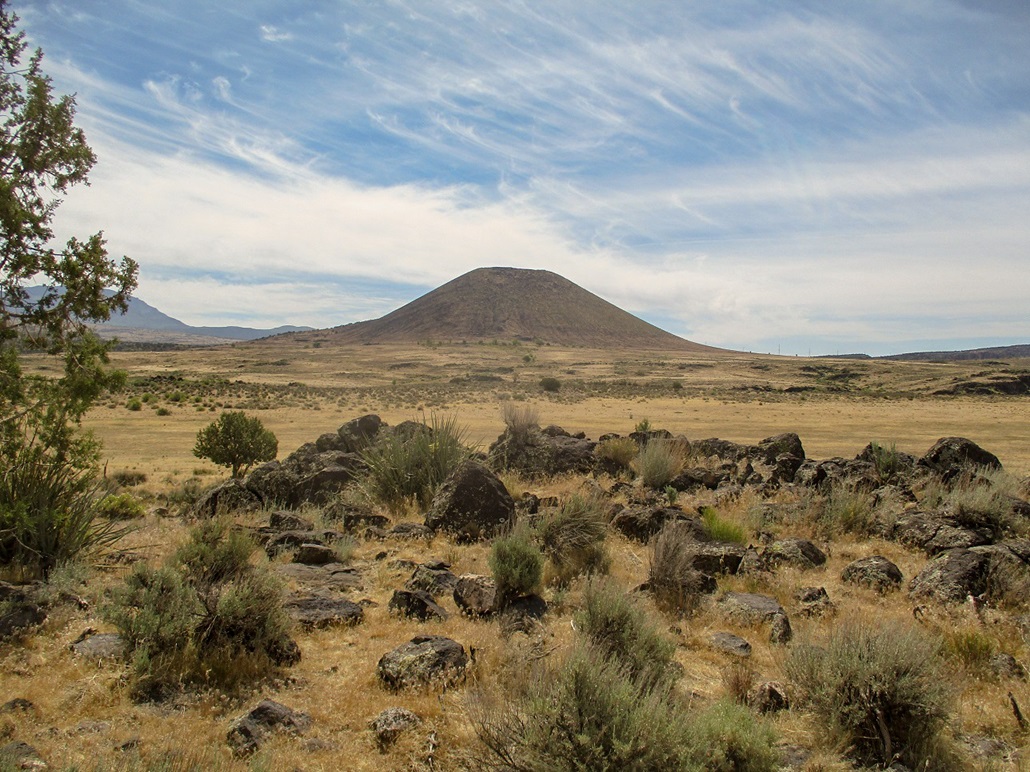
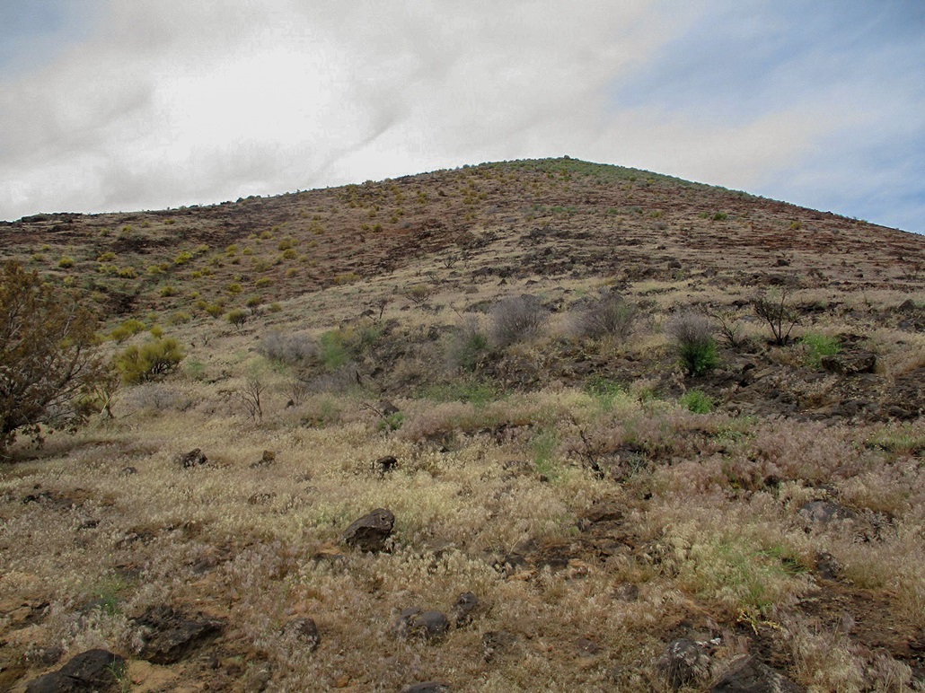
First on my agenda was Veyo Volcano, a conical cinder mound immediately southwest of the town and by far the most noticeable feature in these parts. When I arrived in the area, it was about 10 a.m. and warm, about 80 degrees. A thin layer of high clouds helped mute the heat, but it added to the ambient humidity.
I got myself onto highway UT-18 and went south, up a hill and then parked in a clearing on the west side of the highway, and the eastern foot of the volcano. Two other cars were parked here. I suited up, wearing jeans mainly because of the heat and concern for snakes in the brush. I was hiking by 10:30 a.m..
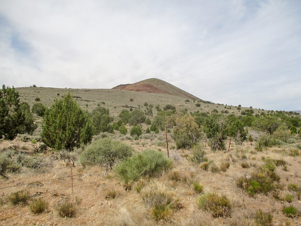
I eased through a barbed-wire fence, then started uphill, up a gentle slope of knee-high sage and cactus, and lots of volcanic boulders. I kept to open lanes whenever possible which meant I had to zig and zag repeatedly. I was hyper-aware of snakes, this being prime snake weather and terrain. I went slowly and carefully. In time, I had gained about 200 feet, now on a flat bench directly below the main mass of the volcano. Brush was lighter here, mainly due to a recent fire that seemed to clear out about five acres of the crud.
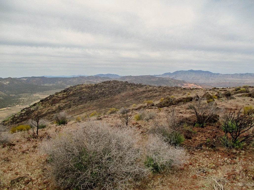
Now on the steep slopes of the volcano itself, I walked upward, keeping an eye out for serpents. I heard noises and looked up, seeing some people way high up above me. Must be from those cars I saw parked back there. The uphill climb was not difficult, and I was soon on top, the eastern lobe of the summit ridge. About this time a group of five people were slowly walking down: a family outing, with dad and mom and apparently a grandpa, plus a couple kids. They were all super friendly.
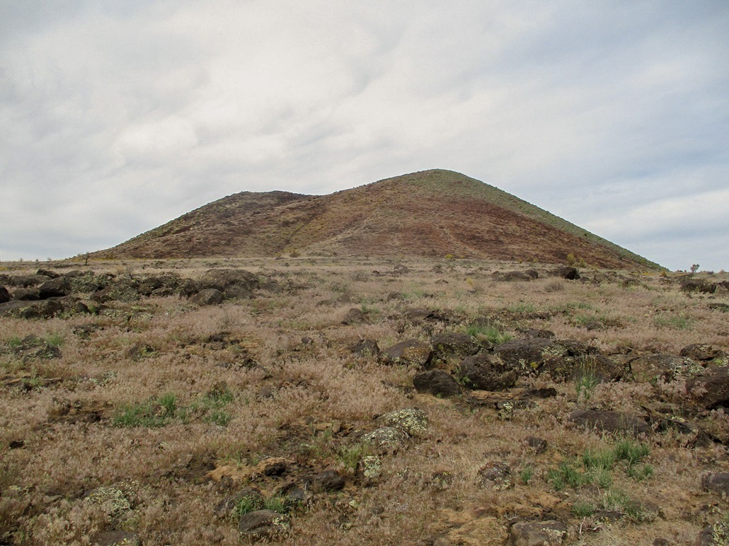
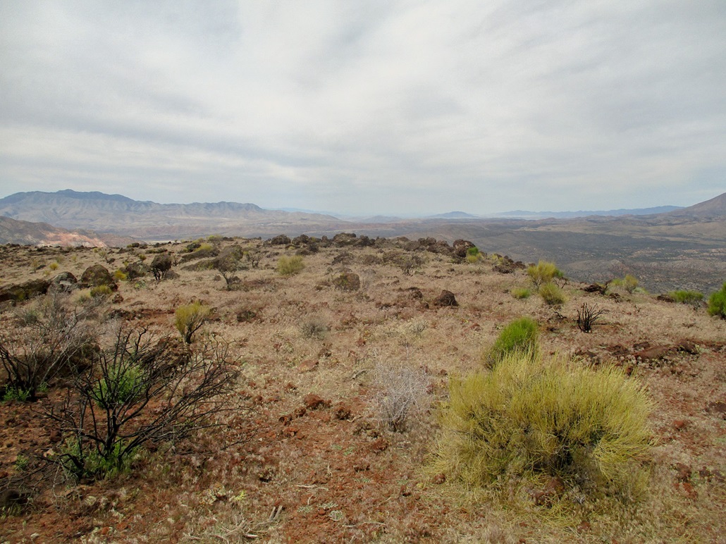
There is a large cairn here but the higher points seemed to be about fifty feet away, where the ground rises slightly. Any number of volcanic boulders could have been the highest point, so I kicked a few, then sat for a break. Over on the western lobe of the peak, I could see another group of people, numbering six, a mix of young adults and teens. I let them pass, then I walked to the rockier western end of the ridge, which had some interesting boulders to scramble through. It is clearly lower than the eastern lobe by a few feet. I watched the second group inch down the steep slopes, and even got them in one of my images.
I soon walked back to the east lobe, then started my way down the slopes. I did not follow my exact ascent line, now just following open lanes as I found them. The downhill went quickly and I was soon back on the flats. That first group (with the kids) were going slowly, probably because of the little ones needing to take it carefully. I took a different line down the sage slopes and only now did I come across my first snake, a red, yellow and black-banded creature about a half-inch thick, probably a king snake. I let him pass and then continued down, arriving back to my car just as the family was coming down.
I took an extended break here, sitting in my camp chair. I let the family get themselves situated and waited until they drove away. I then changed into more comfortable clothes and started southbound, now aiming for another cinder cone called Diamond Cone, about six miles away.
I enjoyed Veyo Volcano a lot, as I always enjoy these cinder cones with their interesting geology. I was grateful I was able to hike it in warm conditions without getting snakebit. Given my luck in the last few weeks, it seemed there was a snake with my name on it, waiting for me. But today, all went well.
|