The Mountains of Utah
• www.surgent.net
|
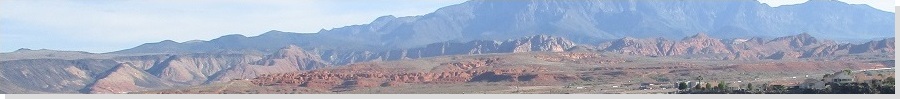
| Volcano Mountain • Sullivan Knoll |
• City of Hurricane • Hurricane Fields • Washington County |
|
Date: May 31, 2021
• Elevation: 4,024 feet
• Prominence: 664 feet
• Distance: 1.6 miles
• Time: 1 hour
• Gain: 700 feet
• Conditions: Blue skies and pleasant
Utah
•
PB
Overview: I spent three days in the St. George area, hiking anything that looked interesting, fun or both. I was not picky, and I was an opportunist, tagging a few hilltops simply because they were convenient. I visited nine ranked summits in the region, all short hikes, but cumulatively hiked about 15 miles and about 4,500 feet of elevation gain.
My agenda:
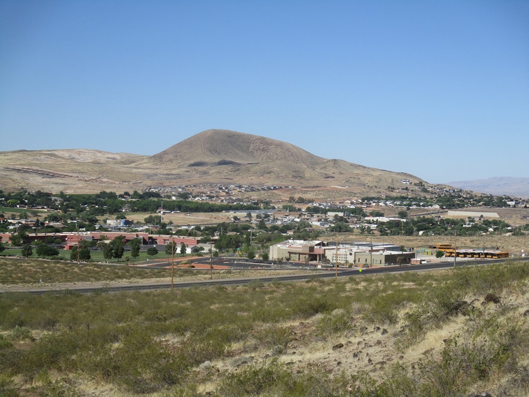
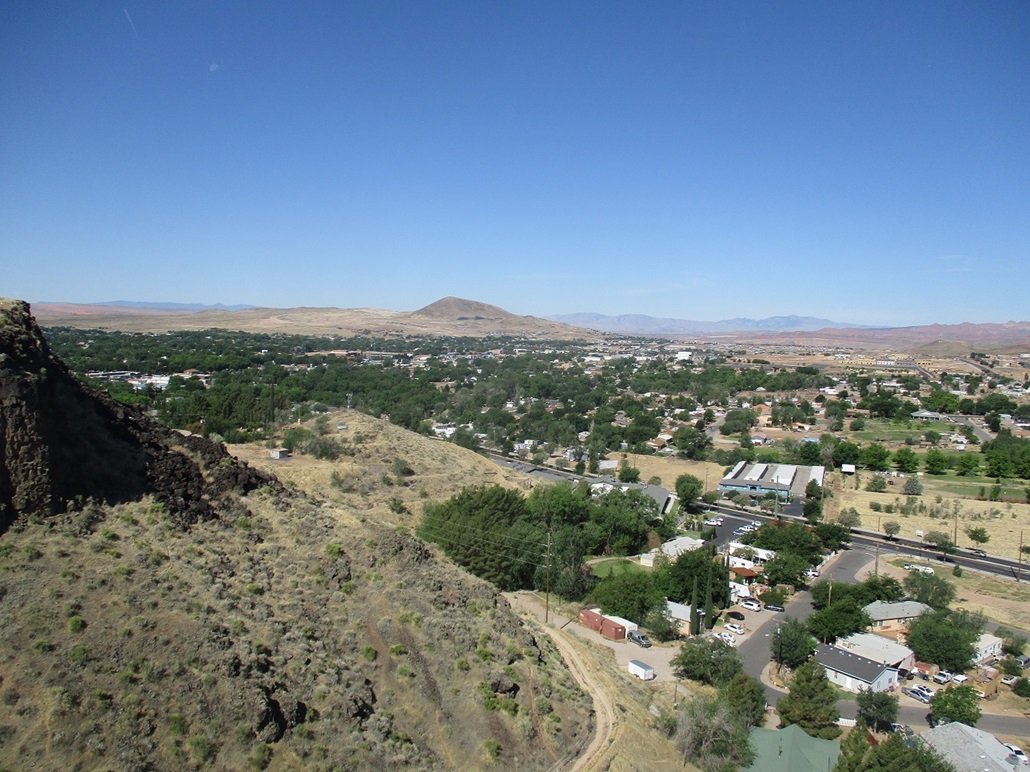
Today would be my last morning in St. George, hoping to be in Flagstaff, Arizona, by the evening. I had two volcanic mounds planned, both nearby one another in the city of Hurricane. I left the hotel somewhat early, knowing it would be warming up today. I arrived into the western outskirts of Hurricane about 7 a.m., Volcano Mountain (also known as Sullivan Knoll) first on the agenda. From highway UT-9, I turned right (south) onto Rlington Drive (I didn't forget the A. That's how it's spelled here), then right onto Ridge View Drive, which curls south then east, then one more right on Panorama. I parked along side the crumbly sidewalk, opposite the lone house on this tiny road.
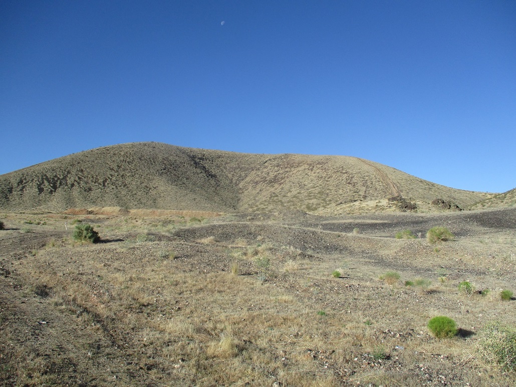
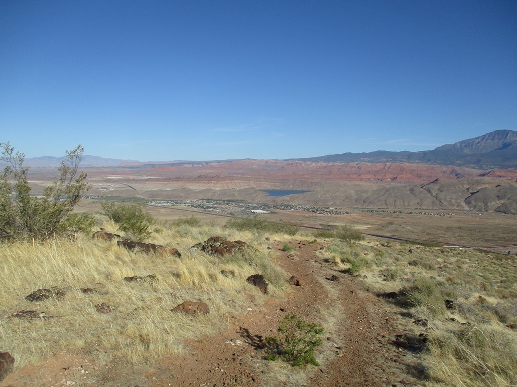
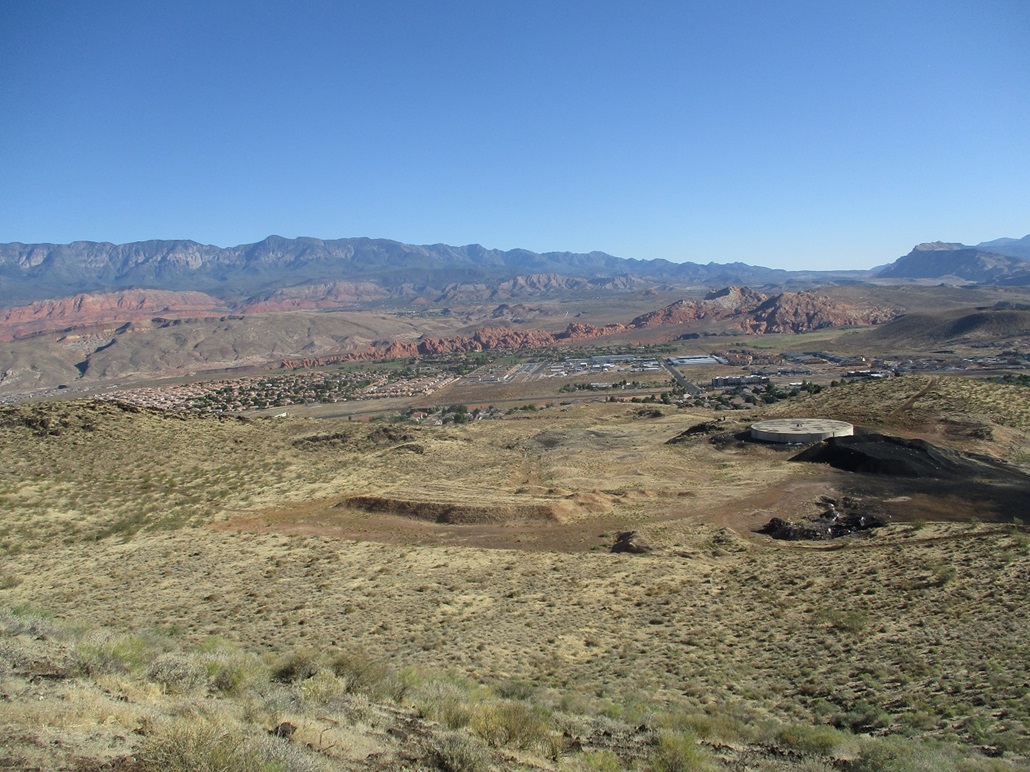
A dirt track leads uphill toward Volcano Mountain. I walked up this road, which bends left (east) and comes to a gate that appeared to be locked. I scooted between two poles and continued up the road, into a basin of scrubby hills and a water tank. Volcano Mountain rises to the south, two obvious ridges, a western one (to my right) and an eastern one. Both looked equally crappy so I picked one, going right.
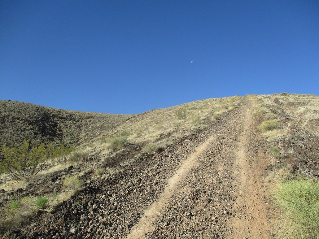
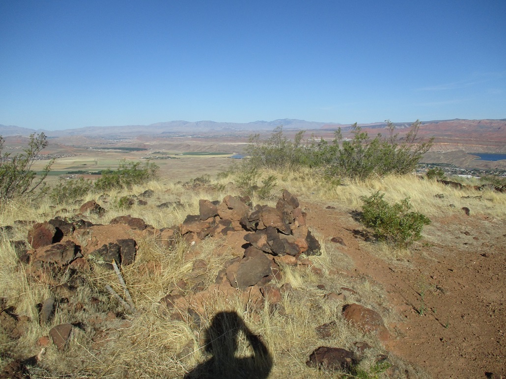
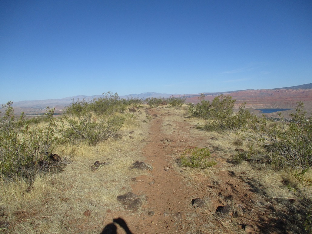
I went a little cross country, although here the distinction hardly matters. Then I got onto the ATV road that goes up this western ridge. The road was miserable, covered over in baseball-sized pumice stones that held together poorly and slid under every step. I labored up this road, gaining about 450 feet. Now on the summit ridge, I quickly found the highest spot and tagged it, taking a few photos while here. I never stopped, just slowing down at times.
I descended by following the ATV track down the east ridge. The track itself was abysmal, but I was able to gain better footing by paralleling the track in the low brush alongside it. It was marginally better, but it worked.
I was soon down in the basin when two big pickups were slowly rumbling up. They slowly inched up the western ridge road, the one I spoke so highly of. I wondered if they were really going to try to drive it. But they didn't. They just got to a point and stopped. I suspect they were going to do some target shooting. Or whatever, I have no idea.
The round trip took an hour. Conditions were pleasant, if a little warm. Once back to my car, I drove back to the main highway into Hurricane, then located myself for my next hike up East Cinder Knoll.
|
|