The Mountains of Utah
• www.surgent.net
|
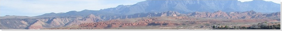
| East Cinder Knoll |
• Red Cliffs National Conservation Area • City of Hurricane • Washington County |
|
Date: May 31, 2021
• Elevation: 3,680 feet
• Prominence: 400 feet
• Distance: 1.8 miles
• Time: 1 hour
• Gain: 340 feet
• Conditions: Clear, but warming up
Utah
•
PB
Overview: I spent three days in the St. George area, hiking anything that looked interesting, fun or both. I was not picky, and I was an opportunist, tagging a few hilltops simply because they were convenient. I visited nine ranked summits in the region, all short hikes, but cumulatively hiked about 15 miles and about 4,500 feet of elevation gain.
My agenda:
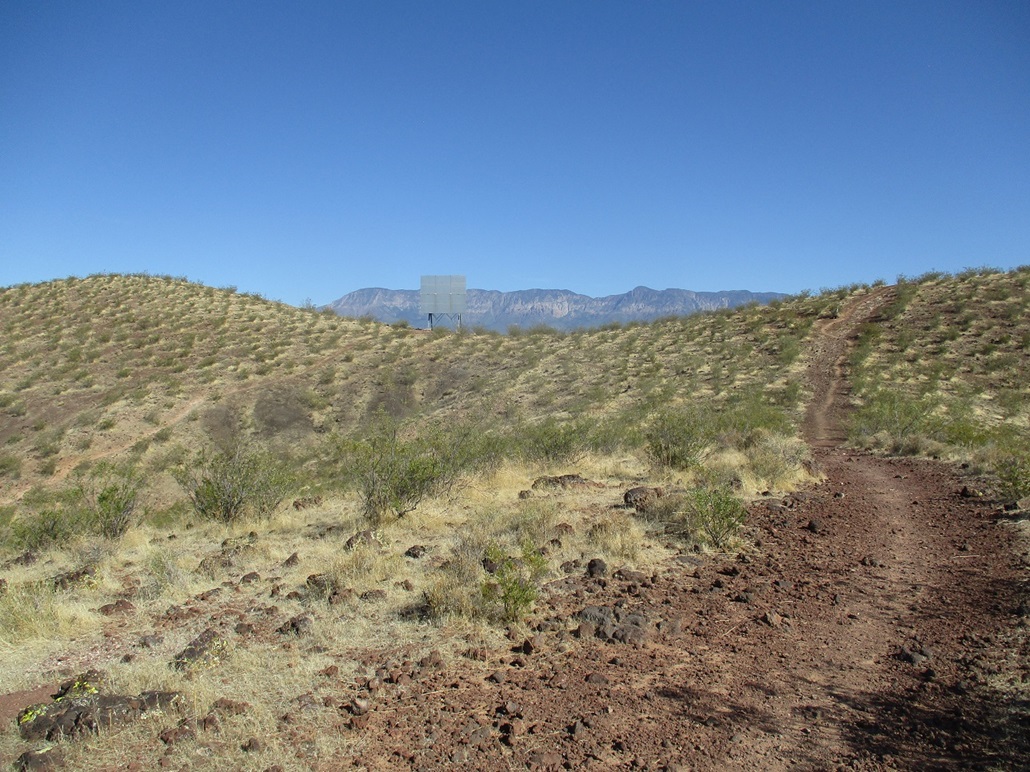
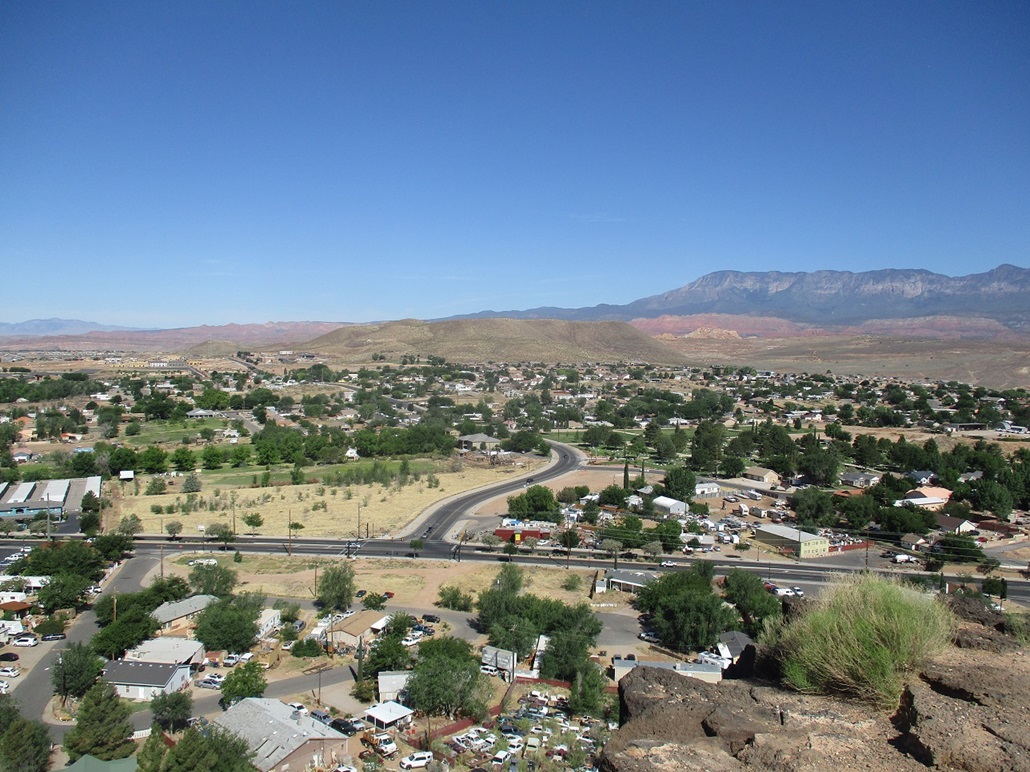
Earlier this morning, I hiked nearby Volcano Mountain. From there to here was just a few miles, getting the nickel tour of the city of Hurricane in the process because I missed a couple turns. I parked at a let-in point for the Red Cliffs National Conservation Area, along West 600 North, west of the city works buildings. There is no trailhead parking. You just fit your vehicle into any open spot. There was one other car here when I rolled up.
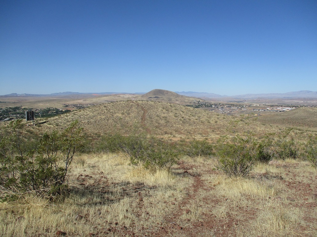
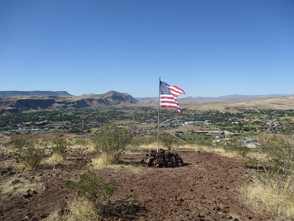
This would not be a long hike. I crossed the stile onto the Red Cliffs land, and walked north on a trail paralleling a fence line. The trail then bends east with the fence, then takes off north again, going up the first big hill. I was up top this hill in mere minutes. Up ahead was a hill to the left with a flag on it, and a hill ahead of me, and in the saddle between, a reflector device. I kept to the trail and ascended the "right" hill. This put me on the summit ridge, so I continued walking north, going up and down with the lay of the land. I came to one possible highpoint, then walked more north to another about equally as high.
Looking back now southwest at the "flag" hill, it looked possibly as high, so I descended off the ridge about a hundred feet, then up to the flag hill. This being Memorial Day, an American flag was planted here and it looked brand new. Someone probably put it up this morning. I don't know if there's normally a flag on this hill.
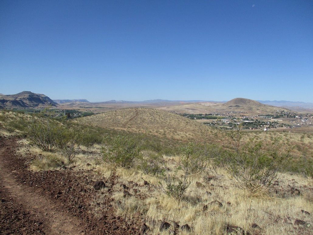
Going down, I figured I could continue south off the flag hill and that should take me back to the trailhead. I followed a meager trail down, but the trail faded out. I did not want to backtrack, so I made my own way down the west slopes to the desert flats below, taking the scenic route back toward the main road, where I caught a trail, then back to my car. This detour added about a half mile to the hike. The day was warming fast, but still comfortable. This hike had gone well and I enjoyed it.
The rest of the day, I drove nearly 300 miles to Flagstaff, Arizona. I followed UT-59 toward Colorado City, now on AZ-389, heading eastbound. I don't think I've ever driven AZ-389 eastbound. The land up here is so vast and vacant, the scale is astounding. Up ahead was a long black plateau, completely featureless. It was the Kaibab Plateau, but you don't get any sense of its scale from far away. A single thunderhead had developed over it. All else was blue skies.
I drove into Fredonia, then debated the route to take back, either US-89A over the Kaibab Plateau, or back into Utah on US-89 to Page. I chose the latter. I passed through Kanab, which despite its beautiful setting, always strikes me as an unfriendly place for some reason. I stayed eastbound on US-89, traffic light for now. The heavier traffic was westbound, people pulling boats and RVs from a weekend at Lake Powell. By the time I got near Lake Powell, traffic going east was getting heavy too.
I stopped for a lunch in Page, taking an hour to relax from the driving. I resumed the drive southbound, Flagstaff still 120 miles away. I went slow, mainly because I was always the 15th car in some long line behind a truck. The scenery is astounding up here on the Navajo Nation, so going slow wasn't such a bad thing. Once on the lower parts of US-89 (south of the town of Bitter Springs), it became a mad rush to pass the slowpokes whenever we came upon a passing lane. The highway is like one long sine wave, undulating up and down over and over again. I swear one could get sea sick on this highway.
Traffic picked up south of Cameron, but then the highway started to open up more so that we weren't all in a mad frenzy to pass the trucks every chance we got. I arrived into Flagstaff about 4 in the afternoon, hot and tired. I stayed the night at a Motel-6, then hiked two peaks in the Flagstaff area the next morning.
|
|