The Mountains of Utah
• www.surgent.net
|
| Diamond Cinder Cone |
• Snow Canyon State Park • Pine Valley Mountains • Washington County |
|
Date: May 29, 2021
• Elevation: 4,875 feet
• Prominence: 355 feet
• Distance: 1.8 miles
• Time: 1 hour
• Gain: 395 feet
• Conditions: Very warm, some clouds but hot in the sun
Utah
•
PB
Overview: I spent three days in the St. George area, hiking anything that looked interesting, fun or both. I was not picky, and I was an opportunist, tagging a few hilltops simply because they were convenient. I visited nine ranked summits in the region, all short hikes, but cumulatively hiked about 15 miles and about 4,500 feet of elevation gain.
My agenda:
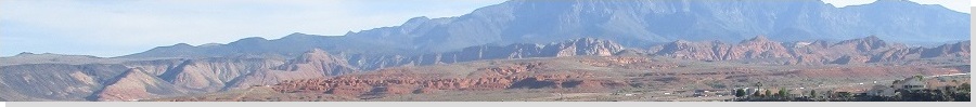
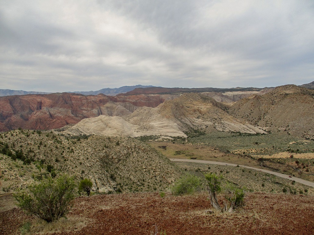
I had just completed Veyo Volcano, and now set my sights on what the signs and maps just call "Cinder Cone" but locally called Diamond Cinder Cone, since the town of Diamond is close by. This is an impressive cinder cone that is best viewed from the north (the direction I was heading from). The crater is circular and tilted so that it opens northward. From the highway, it looks like a big circular hole on the mountain.
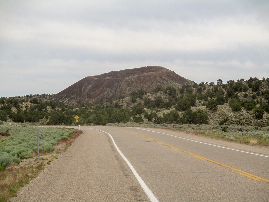
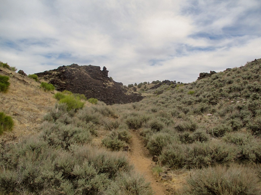
The cone lies within the boundaries of the Snow Canyon State Park, and as a result, a decent trail has been built that accesses the summit. This sold me. I wanted another peak and was absolutely not picky at all. Anything with a trail was attractive to me because it was quite hot by now and I did not want to be walking through grass and scrub and the snakes that lie therein.
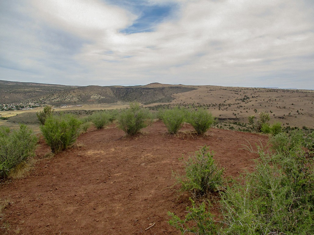
I drove about five or six miles south on UT-18, and parked in a small clearing near the trailhead, north of the cone. The trail angles left (east) and works through lava hills with interesting shapes. The trail then angles south and traverses across the slopes to eventually rise and meet a saddle to the south of the cone's top. The trail to the top goes directly up the cinder slopes and can be loose, but it was short and I was soon on top the cone. The very summit itself is completely bland as the photo at left attests. But the views all around were fantastic. I was bummed I had gray clouds muting the light, but at the same time, those clouds kept the temperature somewhat barely tolerable (about 90 F).
Lots of people descend the cone by taking a wildcat trail off the north slope, directly down the cinder. Inspecting it as I walked up, I wanted no part of it. It looked brutally steep and in this weather, would be a real chore. Thus, I simply retraced my steps, taking a short detour to hike up the adjacent hill for a better photo of the trail up the cone.
The round trip took just an hour and it was still not yet noon. My plans now were suddenly wide open. Given the heat, I wanted something higher up, so I motored northbound on UT-18. I was looking at Big Mountain, which I knew would not be a challenge at all. But to kill time, I drove the extra distance into Enterprise, a small city on the flats north of the peaks. I needed some basic supplies. The town itself looks dreadfully dull, but it met my needs for the five minutes I was there.
|


|