
The Mountains of Arizona
www.surgent.net |
|
Peak 7925 (Stateline Mesa) • Milligan Knoll • Peak 8008 I was on a short peakbagging journey, today being the second day, and the lone full day, of this trip. I drove north yesterday to Gallup, N.M., hiking Peak 7132 on the Zuni Pueblo yesterday, then Pyramid Rock near Gallup early this morning. I then drove into Arizona and hiked Fluted Rock on the Navajo Nation, which went quickly. It was about 9:30 a.m. when I finished my short visit to Fluted Rock. I relaxed at a McDonalds in Window Rock for a little bit, then got moving southward toward Springerville, a roughly two-hour drive. It was about 12 p.m. when I arrived in town, a little warm but still very mild with cloudless skies and a steady breeze. I had a bunch of peaks on my master list but knew I would not hike them all. A bunch were to the west, more toward Show Low. I decided to nix those due to the warmth. I'd be at slightly-higher elevations in and around Springerville, which would help.
Date: June 30, 2026
• Elevation: 7,925 feet ✳
• Prominence: 399 feet
• Distance: 2.2 miles
• Time: 1 hour
• Gain: 375 feet
• Conditions: Sunny, clear, warm and breezy
Arizona
•
Main
•
PB
•
LoJ
•
Interactive map
This peak is a mesa straddling Arizona and New Mexico, about twenty miles east of Springerville. The summit lies barely inside Arizona, almost exactly on the state line going by the map. The drive to it took about twenty minutes.
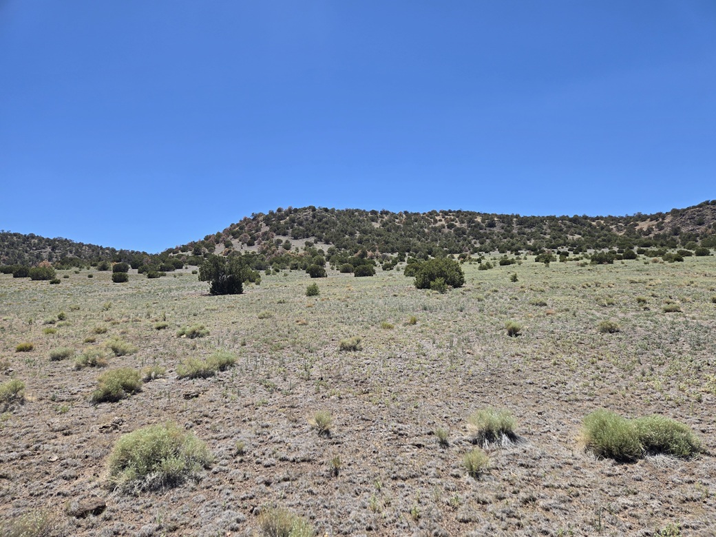
About two miles inside New Mexico, I followed a dirt road going northwest, signed as State Line Road. This is open-range country, low grasses, scattered piñon and not much else. I drove in about a mile, a little more, looking for a scanter track that aims southwest toward the mesa.
I could not find this track, despite it being so obvious on the satellite image. The road grader had pushed rocks uniformly onto the berm and I could not see anything that looked like a track. I parked off the road on a patch of open ground, about thirty feet from the road. It was not a long hike, even from the road. It looked like I had no choice now.
I got suited up and my pack prepared. A work truck came from the north, presumably from a ranch up that way. The driver just waved as he drove by, which was a good sign that being here was cool. I started walking about 12:45 p.m.. It was sunny and warm, but not hot, about 82° with a breeze that helped keep me cool. I wore my snake gaiters for this hike.
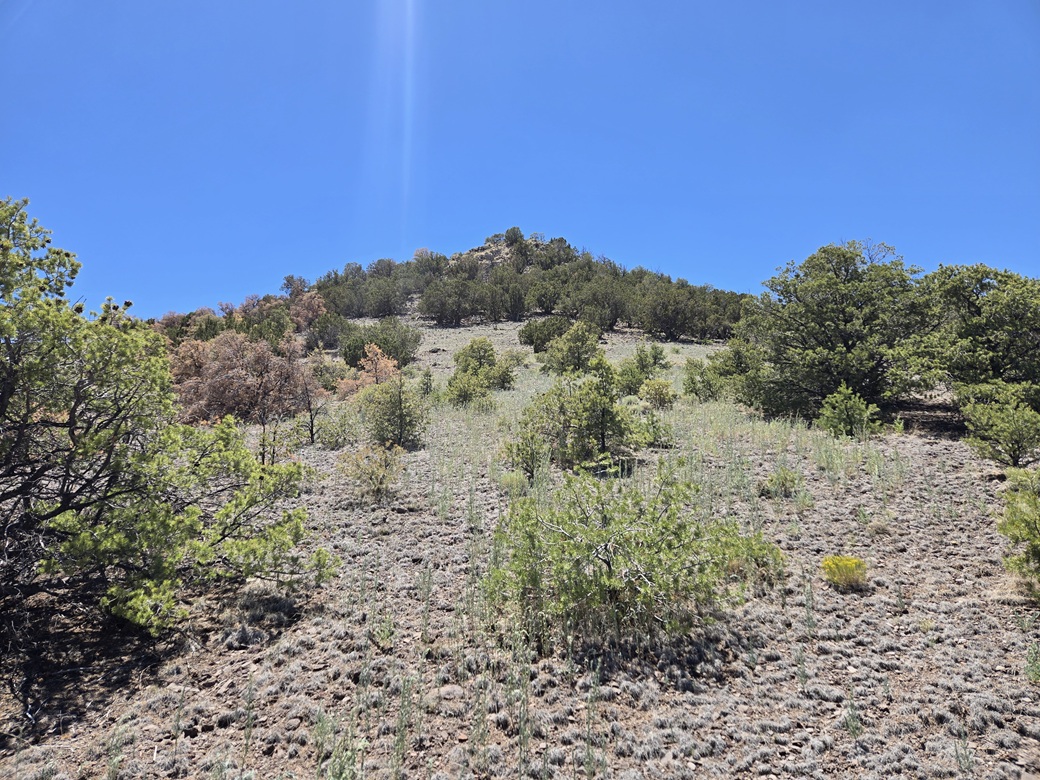
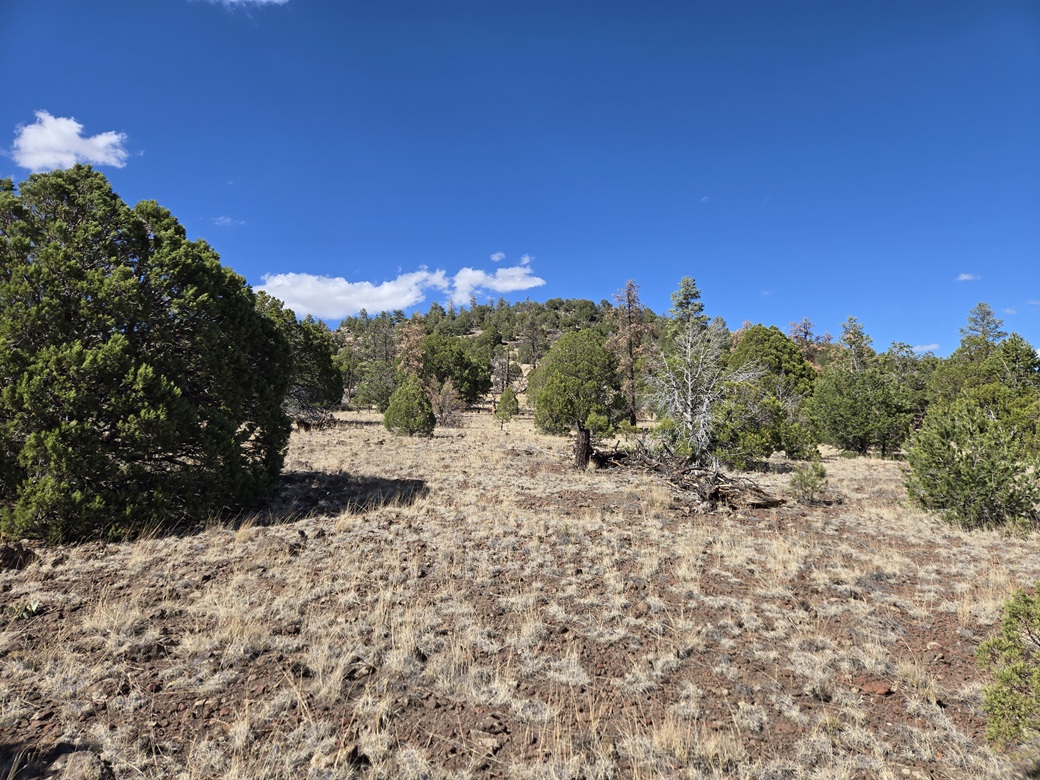
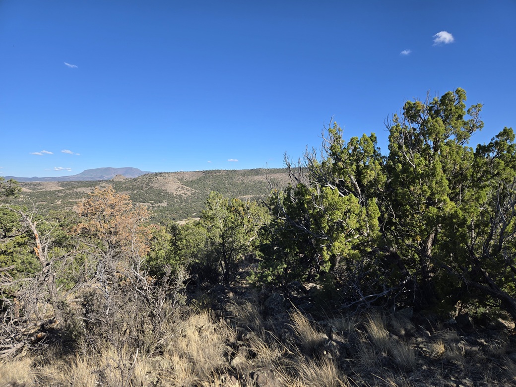
The initial walk is about a half-mile trek across the open grassland. As I slowly gained elevation, the trees became more abundant. Once on the slopes, I was zigging and zagging around the trees. Higher up, the slope is more rocky, but not cliffy. Just heaps of mid-sized rock. It was easy to get through, but a little tiring.
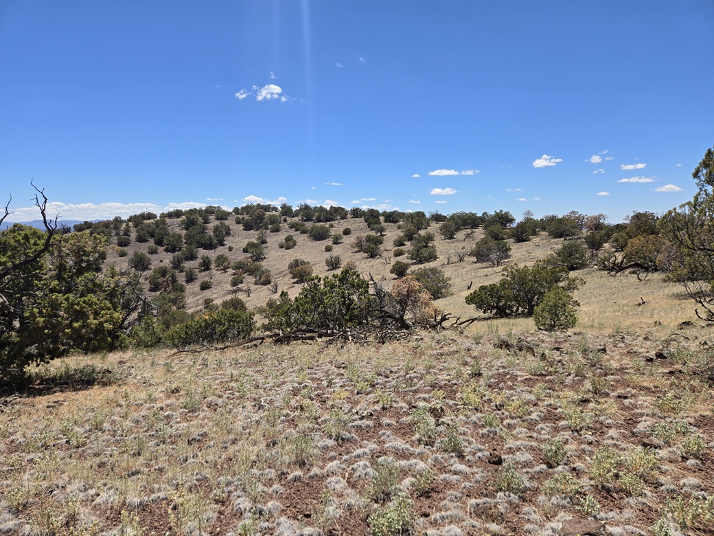
I gained about 275 feet to place myself atop the mesa, at its far east tip. The terrain now was much more level, with the gentlest of grades. The grass was low and scattered, and the trees were not as abundant. I could see my way easily.
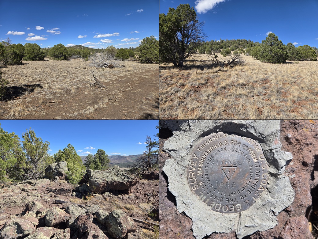
The highpoint hill was not far ahead. In about ten more minutes, I was closing in on it. I came to a fence, presumably the stateline fence. There was no easy way to get past it, so I got on the ground and shimmied underneath it. Once past it, it was about a three-minute walk to the highest ground.
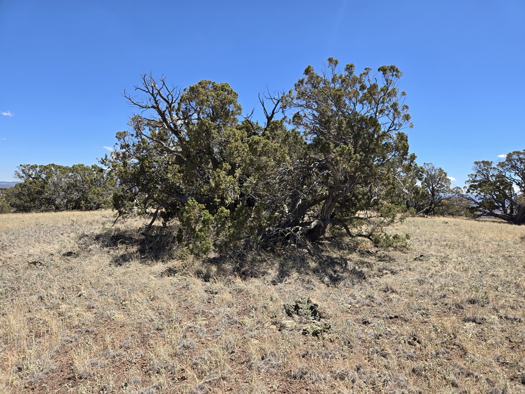
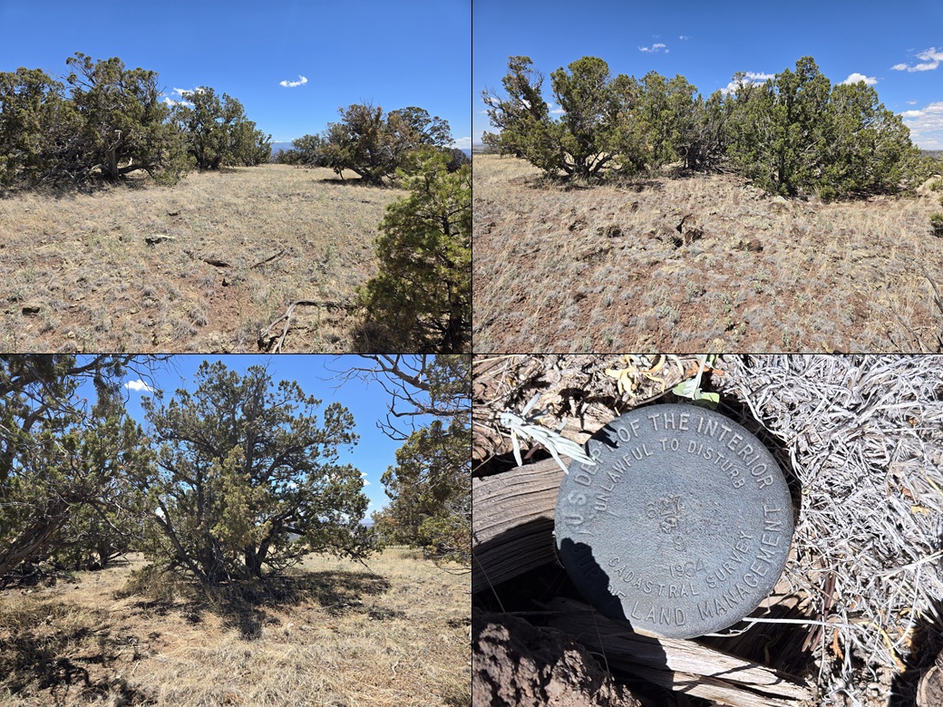
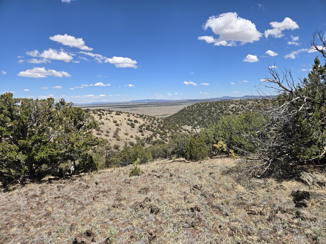
Find the actual highest point was not that easy. The highest ground is flat with no obvious rock outcrops. I circled around the area, roughly a hundred-foot diameter, and kicked, stepped on or gently brushed any high rock I came to. I found a cairn near a benchmark, with a register. This was good enough for me. I signed in and snapped a couple images. It hadn't taken long, about a half hour, to get here. Views were nice but nothing special.
Going down, I decided to descend directly downward into a canyon, following a line south of what I did coming up. I squeezed under the fence again, then dropped into the canyon, which was wide and grassy and very pleasant. Then I found a track.
I followed this track out as far as it would go. It was well-defined and with a good tread (high clearance would be advised). It started to peter out about a hundred yards from the main road. I could see my car about the same distance to the north. Evidently, this track is simply erased for about that hundred-yard segment coming in from the main road.
The round trip took an hour, and was enjoyable. I liked this simple mesa-peak. It had good views and was not difficult. It was close to 1 p.m. now. I drove back into Springerville and stopped at a Circle K to get something to drink and to decide my next move.
Elevation: 8,804 feet ✳
• Prominence: 368 feet
• Distance: 3.2 miles
• Time: 90 minutes
• Gain: 405 feet
• Conditions: Warm, breezy
PB
•
LoJ
I was looking at two peaks south of Springerville. The farthest one out was this one, Milligan Knoll, about a five mile drive from Eagar (Springerville's little suburb). It made sense to drive to this one and then work my way back to town. This peak was also a much longer hike of the two.
It was warm but still pleasant. However, I was getting a little tired. I was thinking if I get one today, I can get the other one tomorrow. From Eagar, I followed Water Canyon Road south past the city limits, now on Apache-Sitgreaves Forest land, the road now wide dirt-gravel, signed FR-285.
This road was a good road. It hugs the side of a long ridge and about halfway in, starts steeply uphill, eventually gaining almost a thousand feet of elevation. The road was curvier and I had to go slow, but it was an easy road to drive.
In time, I was closing in on Milligan Knoll, a big mesa on which sits a smaller hill, the actual peak itself. I was on the mesa's western slopes. I then turned left onto FR-85, cutting across the mesa's southern slope. The whole area is popular with OHV riders, although today I only saw a couple of them.
I came upon one of the OHV road crossings and figured that the OHV road might get me partway up the mesa slope, so I pulled to the side into a clearing, got my stuff together, and started walking up the OHV road, the time about 2:45 p.m.. This worked, technically. It got me up about 30 feet. I had no choice but to just bust upslope through very thick forest.
This uphill gained about 250 feet and was a chore. The trees were tight together, there were no long-distance views, the rocks were loose, and I was stopping every fifty feet to tie a ribbon so that I wouldn't get lost on my descent.
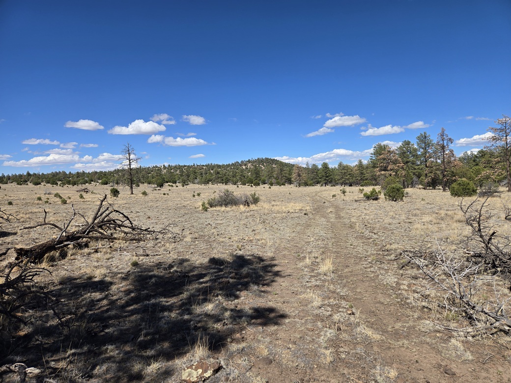
About twenty minutes later, I was on top the mesa, on its far southwest tip, still in forest. I aimed northeast and soon came out into the open. Milligan Knoll rose about a mile to the east. I came to a scant track that I had seen on the satellite images. It meandered all over the place but it would eventually cross just below the peak.
I just walked the track, not concerned if it was longer and did not go always in the direction I wanted. This segment covered just under a mile, and I was soon below Milligan Knoll.
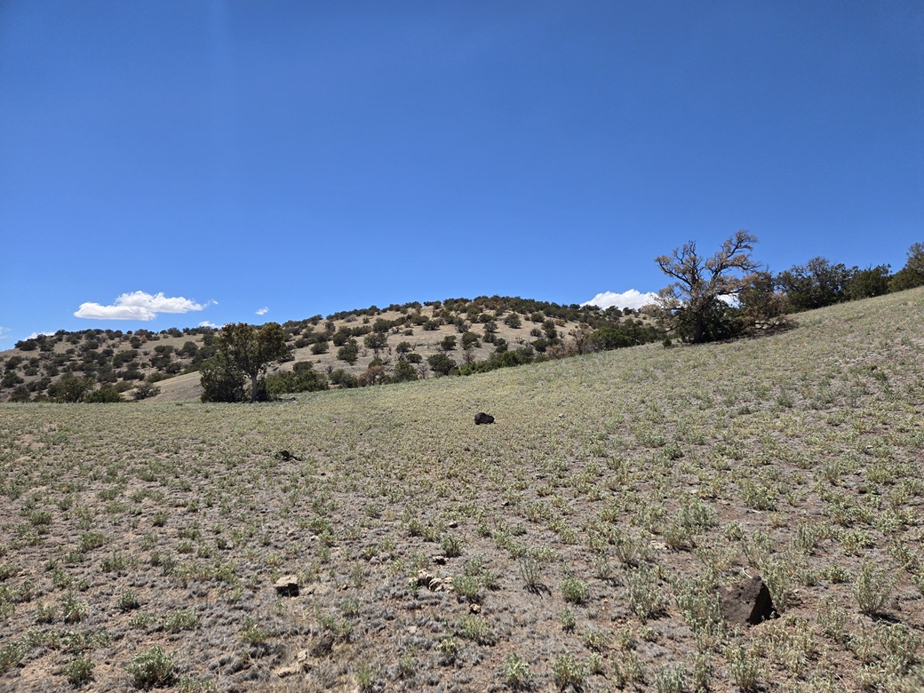
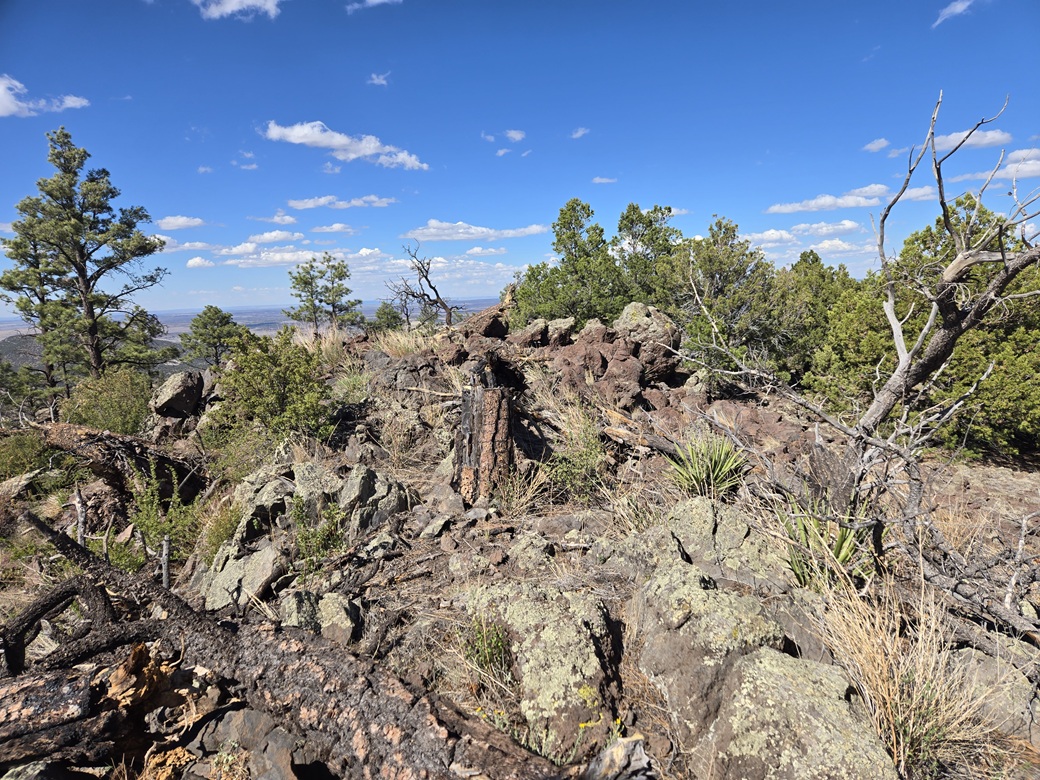
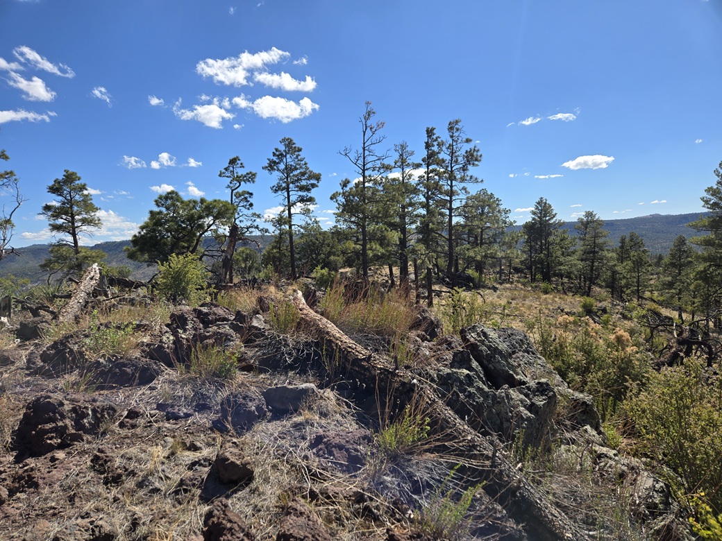
I left the track and walked steeply up the grassy slope which got progressively steeper and rockier. The top hundred vertical feet was rocks all piled on top of one another. No scrambling was needed, but I had to step carefully and look for openings. This being a knoll, I should have expected this.
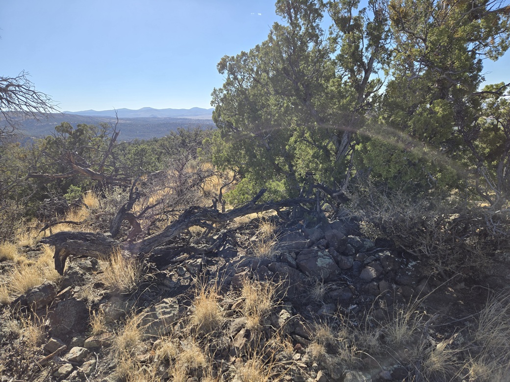
The top was rocky but more open. and I soon found the top-most rocks and a register. I signed in, tagged the top rock, snapped a couple images and turned right around and started down. The one-way hike had taken about 45 minutes.
The road walk was easy, then I found my ribbons and started my way back into the trees and down to my car, untying the ribbons as I went along. The outbound hike took a little under 45 minutes. To be honest, any southwest-ward bearing would have got me down off the mesa and onto the main road as it ran almost all the way across the mesa's southern base. But I wanted to take no chances. I may have overthought this one but I felt it was necessary.
Now, it was about 4:15 p.m.and I was officially tired. I already had four peaks hiked today. However, this last peak would be the shortest and hopefully the quickest. If I could climb it today, that would leave me more flexibility for tomorrow.
Elevation: 8,008 feet ✳
• Prominence: 330 feet
• Distance: 1 mile
• Time: 30 minutes
• Gain: 363 feet
• Conditions: Still sunny, warm and breezy
PB
•
LoJ
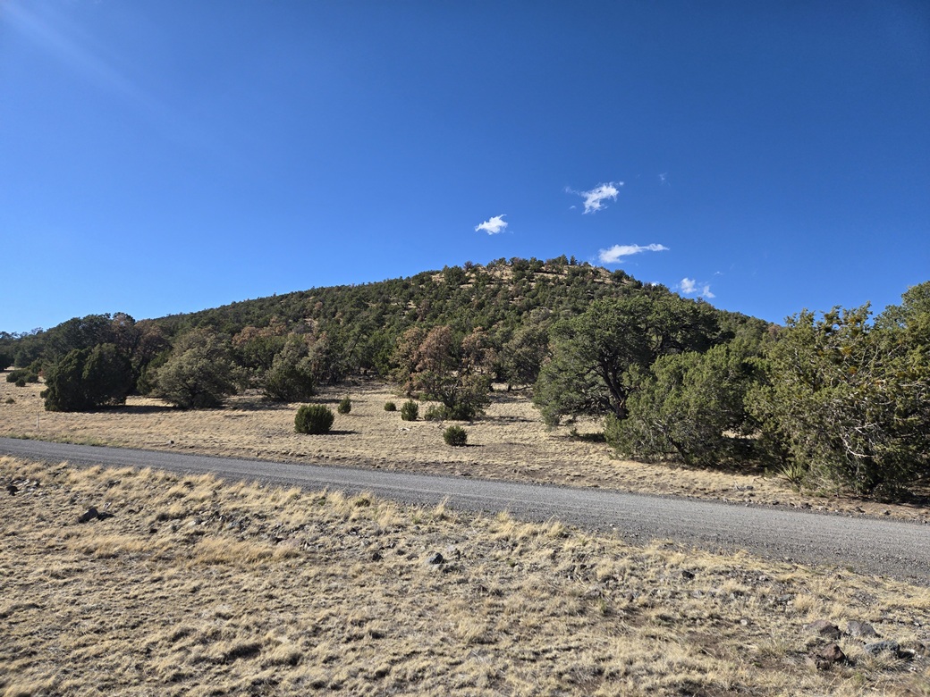
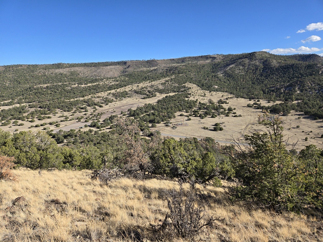
I drove just a couple miles back north on FR-285, turning east onto Safell Canyon Road (FR-8076). This peak, Peak 8008, becomes visible after about a half mile, rising to the left. To the south is a smaller but pronounced knoll, Saffell Knoll. The whole area is the domain of the OHV riders.
Peak 8008 is a lump-shaped peak with grassy slopes and a forested crest, and it seemed it could be climbed from pretty much any direction. I decided to come in from the southeast, following the ridge all the way up. I parked in front of a gate near a power-line building.
This appeared to be a short hike, about a half mile each way. It was past 4:45 p.m. when I started. Still warm, still breezy, but not obtrusive. I started up the slope and immediately started gaining elevation.
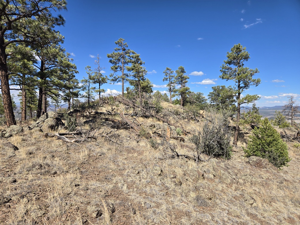
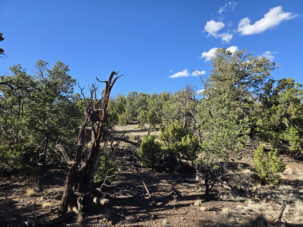
The uphill hike wasn't difficult. The trees were moderately thick, but I could usually keep to open lanes and not have to wander too much. Within fifteen minutes I was on the top ridge.
I followed the ridge in the heavy trees upward until I sensed there was no more up to go. The summit is slightly offset from the ridge. I could see higher trees to the north, so I hiked that way and soon was at the top. I shot an image of the summit rocks, but saw no registers. I turned right around and started out.
The outbound hike went fast. I just barged through the trees until I was into the open and could see my car, then walked kind of quickly downhill to it. The round trip took just 30 minutes. I was glad to be done. This little peak wasn't that interesting but it counts.
Today had been a big day, five peaks overall, and now I was very tired. I changed into more comfortable clothes and stopped into the grocery store in town to get something for dinner. I stayed the night at an EconoLodge in Springerville. I was asleep before 9 p.m..
Tomorrow I would head back home to Bisbee, but hike one more peak, Strayhorse Divide, on the way, and scout for other future hikes.
I was happy to get both of these peaks done today, meaning I would not have to return at some future date to tag them. Milligan Knoll is somewhat worth the effort, but this last one was just for the stats.
|


|