
The Mountains of Arizona
• www.surgent.net
|
| Strayhorse Divide |
• Apache-Sitgreaves National Forest • White Mountains • Greenlee County |
|
Date: July 1, 2026
• Elevation: 7,577 feet ✳
• Prominence: 305 feet
• Distance: 0.8 mile
• Time: 25 minutes
• Gain: 310 feet
• Conditions: Sunny, cool and a soft breeze
• Sighting: Black bear (on the drive)
Arizona
•
Main
•
PB
•
LoJ
Strayhorse Divide is a long ridge that lies below the Mogollon Rim in Greenlee County, about seven miles south of the locale of Strayhorse. The highest point has no formal name. A lower bump to the east is marked by the "Eagle" benchmark. Highway US-191 passes over the Divide and runs along its south edge, getting to within less than a half mile from the top.
Today was the third day of a three-day driving-&-hiking run, starting in New Mexico, then yesterday, four peaks up north, starting with Fluted Rock on the Navajo Nation, then three peaks in the Springerville area. I stayed the night in Springerville.
My plan today was to get back to Bisbee, following the scenic Coronado Trail (US-191) south through the mountains of Greenlee County. I had this peak on the agenda, and possibly, another one a mile to the west if things went well and I felt like it. I left my hotel in Springerville before dawn and topped the gas, then headed south.
The drive was scenic and enjoyable, with almost no traffic in either direction. Being so early, I was very mindful of elk and deer, and sure enough, I saw about 50 of the beasts in the first hour or so as I made my way south through Alpine and up the grade into Hannagan Meadow. I had no close calls, but more than once, a herd would be grazing to the side, see me coming, then four or five would jog into the highway to "evade" me. I had to be alert the whole time.
I eventually got to the rim itself, then the long descent down off the rim, losing about 2,000 feet. It was a sunny and clear day. Up higher, temperatures were in the high 30s and low 40s. Down low, into the mid 50s.
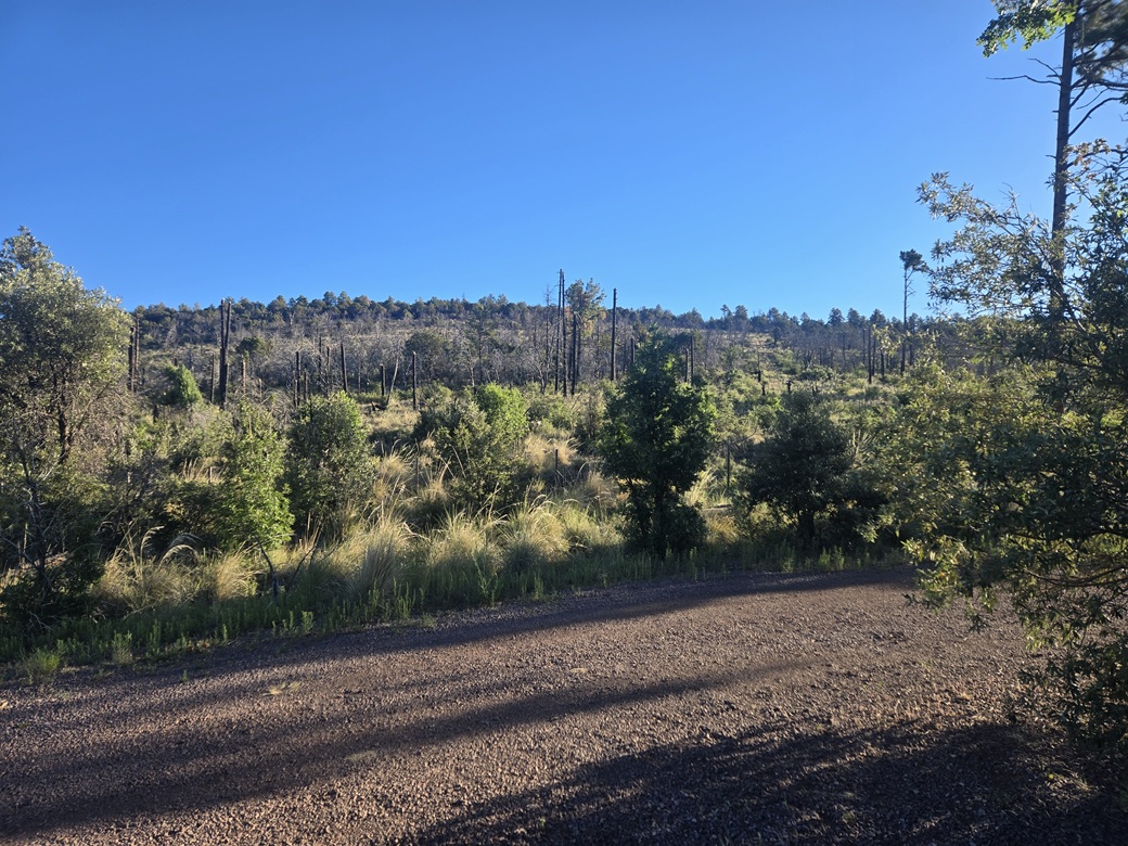
I drove to the Sheep Saddle pullout and trailhead. This lies southwest of the Divide's highpoint. Studying the satellite images, there was a clearing from the saddle all the way to the highpoint, which intrigued me. Whatever it was, it could help me get to the top.
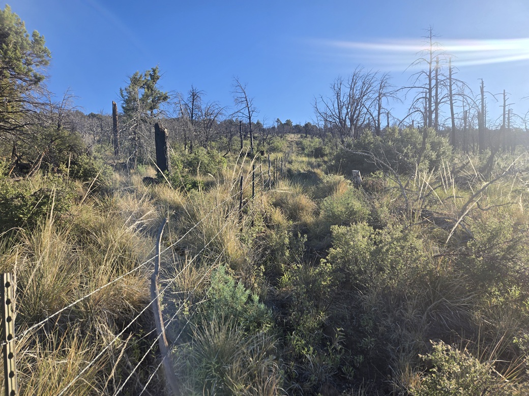
I got suited up, long everything as I expected lots of brush. It was 7:15 a.m. when I started my short hike. Behind the restrooms and a picnic table, the clearing could be seen heading uphill. Turns out this is for a fence line that runs up the slope.
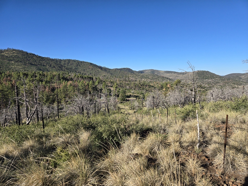
The clearing was still grassy with low brush, and rocks that rolled with the slightest pressure. But there were signs of a track, too. It was messy, but it worked. Higher up, the fence and clearing make two soft rightward bends, and lead directly to the highpoint hill. The one-way hike took about 15 minutes, covering 0.4 mile. It was still cool and pleasant.
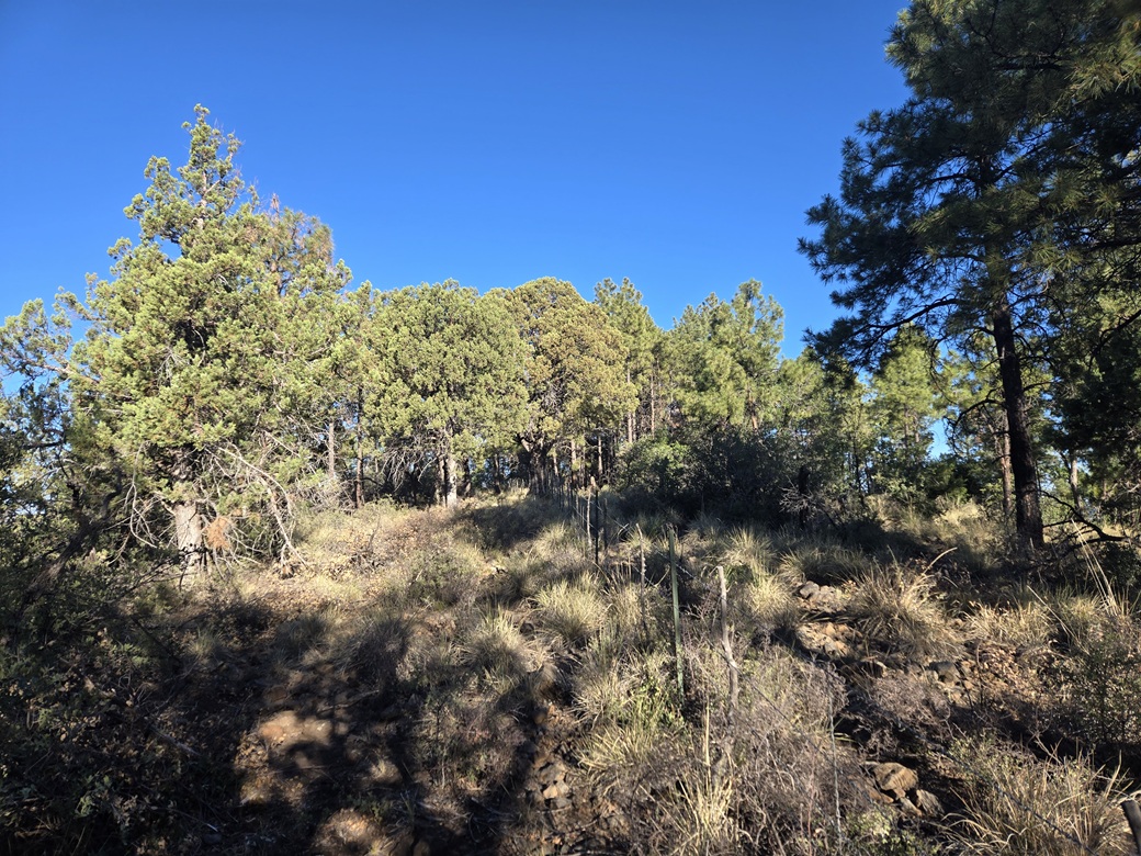
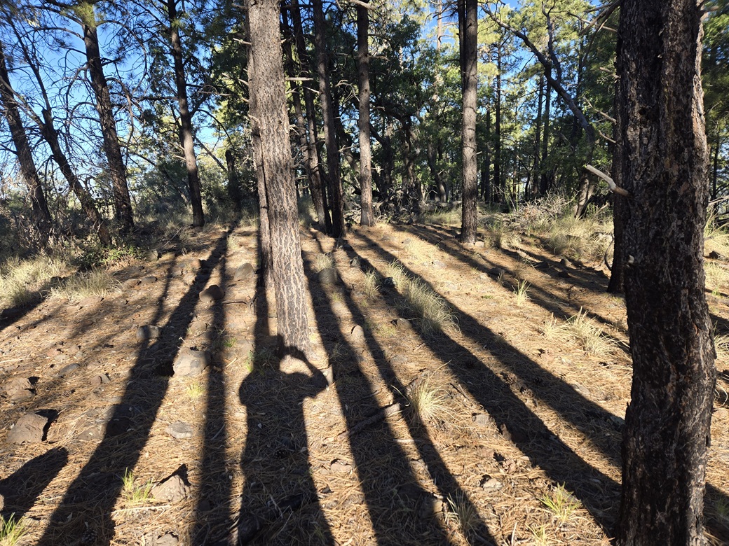
The higher ground was on the other side of the fence, which was sturdy and not easy to step over or squeeze through. So I got down to the ground and shimmied under the lowest strand. I walked the area, and found a cairn with a register in it within a clump of trees. I signed in and then immediately started down, having to re-shimmy my way back through the fence.
The hike down went fast as well, perhaps 10 minutes. Views on the slope were pretty good, but views near the top were limited by the trees. I was back to my car less than a half hour after starting.
I decided to forego that western peak. It looked grassy and brushy. Although not difficult, I was looking at a 300-foot descent via trail, meaning I'd have to regain it and more to the top, then again on the way out. I just wasn't interested.
I spent the next hour or so driving south on the US-191, going slow and enjoying the views. I never came upon anyone going my way, and only a couple going northbound. Along the way, I saw a black bear running across the road about a hundred feet ahead of me. I slowed and watched him disappear into the bushes.
About an hour later I rolled into the HL Saddle parking area and parked in the shade of a tree. I was feeling tired so I napped for about a half hour. I walked one of the nature paths, but I had no hikes planned here.
In another thirty minutes I was starting to descend into the mineworks of the Morenci copper mines, which is always fascinating to watch and drive through. In Morenci, I stopped at a grocery store, just to sit at a table to relax, and decide what I wanted to do. It was much warmer now, in the mid 80s. It was doubtful I'd be hiking any more today.
I scouted the road up the San Francisco River canyon northeast of Clifton, there being one easy peak there and a couple more "maybes". The road was a good road so I'll be back, but not sure when. I drove into Three Way. Turns out that if I went south via Duncan, then US-70 to Lordsburg, it's only 20 miles longer to get to Bisbee than going through Safford. So that's what I did.
The drive went as expected, easy with almost no traffic. I topped the gas in Road Forks where NM-80 branches south off the interstate toward Douglas. I've always liked this drive, but I hadn't done it in over a year.
It was hot now. The drive went fine, but I stopped again in Douglas for a cold drink, then arrived to my home in Bisbee about a half hour later, a little past 1 p.m..
It had been a good short trip. I garnered seven more peaks, two in New Mexico and five in Arizona. The weather was mild the whole time, warm but not hot, and no clouds or storms. I had put on 993 miles.
|

|