
The Mountains of New Mexico
• www.surgent.net
|
| Pyramid Rock |
• Zuni Mountains • Red Rock State Park • Eastern Navajo Agency (summit) • McKinley County |
|
Date: June 30, 2026
• Elevation: 7,487 feet
• Prominence: 539 feet
• Distance: 4 miles
• Time: 90 minutes
• Gain: 800 feet
• Conditions: Cool with a breeze, cloudless and very nice
New Mexico
•
Main
•
PB
•
LoJ
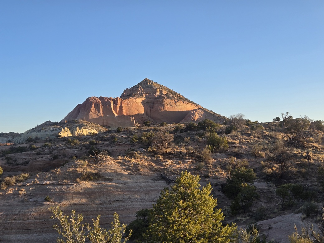
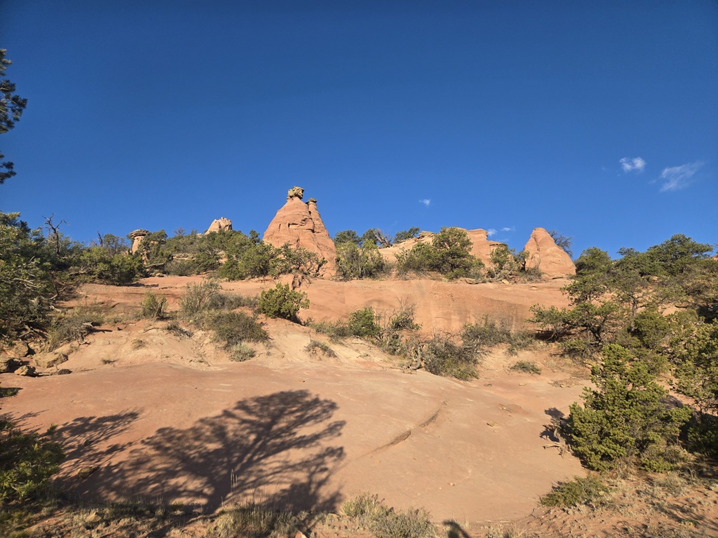
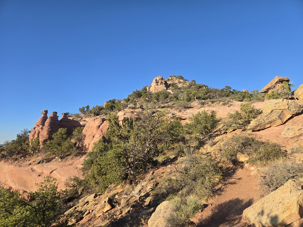
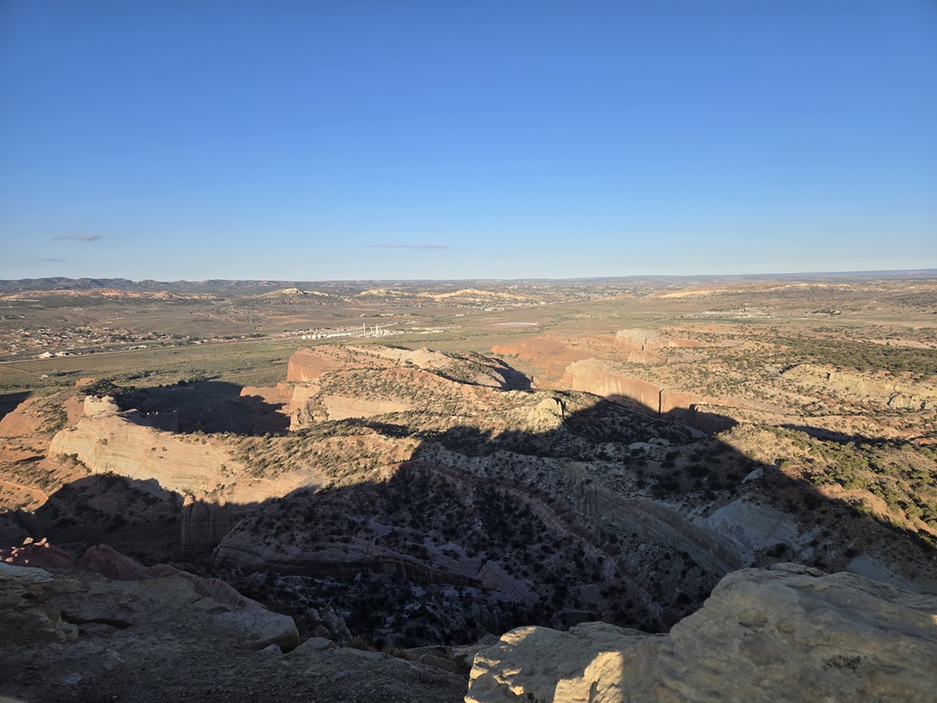
Pyramid Rock is a sandstone peak located east of Gallup, but easily seen from within Gallup itself as long as there's an open view that way. Its lower slopes feature a number of interesting eroded pillars and rock tents. An excellent trail leads to the summit. The hike isn't that long, it's not far from town nor off the interstate, and parking is free. This may be the best mountain hike in the immediate region.
I left Bisbee yesterday morning and drove almost exactly 400 miles to situate myself in Gallup. Along the way, I hiked one easy peak in the Zuni Pueblo, Peak 7132. I arrived in Gallup about 5 in the afternoon, tired from the drive. I stayed the night at a Days Inn.
Early the next morning (today), I was up before dawn. I headed out just as the sun was rising, and drove about five miles along the interstate frontage to the road leading into the Red Rock State Park. This is a one-square mile park with rodeo grounds, picnic tables and grassy fields, and hiking trails that head up onto the hills to the north.
I followed the signs for the Pyramid Rock Trailhead. This led me through the rodeo grounds and corrals. I kept going until I found a small parking area beside one large corral. One other car was already here. It was 5:15 a.m. (my time, 6:15 in New Mexico), clear skies and cool for now, in the 50s. I got myself prepared and started walking about five minutes later.
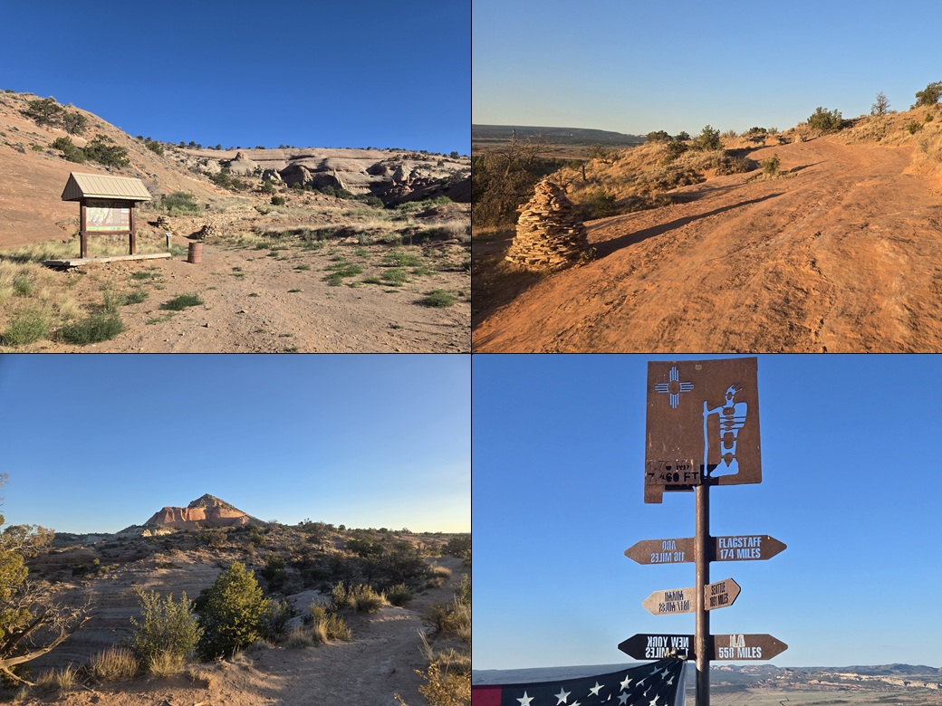
The path led through more buildings than into a clearing. To the left was the actual trailhead. The trail down low is hewn into the sandstone rock, making a couple long switchbacks. When on the grippy sandstone rock, footing was solid. Those parts not directly on rock tended to be very sandy. Large cairns helped keep me on course when on the rocky segments.
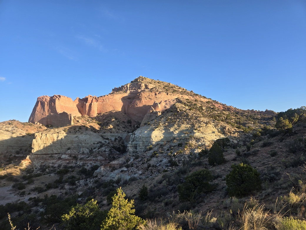
The trail surmounts a rock ridge, now aiming north. Here, the peak is first visible. Even from a distance and still partly in shadow, it had a nice pointed profile with some interesting cliff formations facing south.
This northward segment covered a little under a mile and was easy. It went up and down with the lay of the land, going from rock to sandy path to rock and so on. Along the way, I met a woman hiking down. She was the owner of that car I mentioned. She was glad that she "beat the sunrise" and had been to the top already.
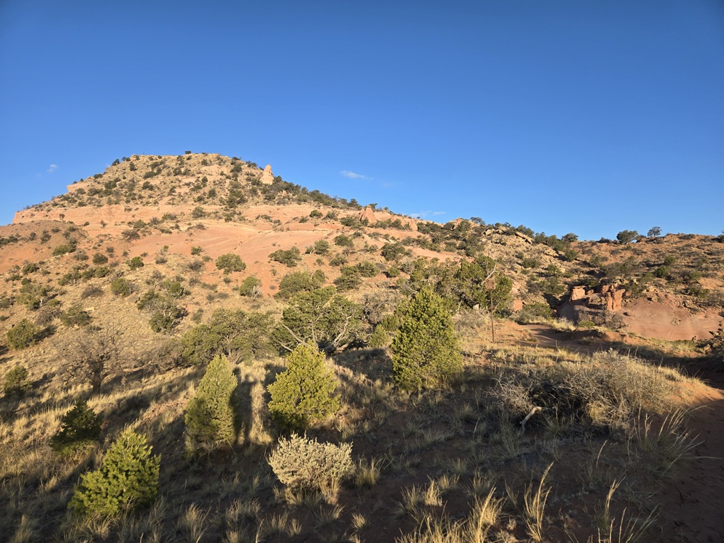
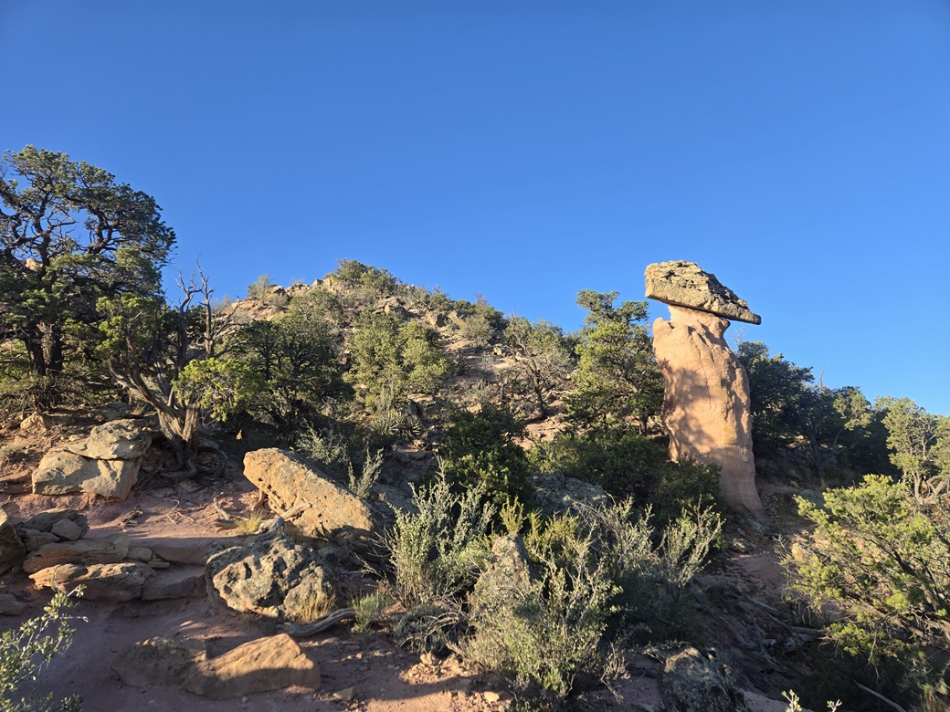
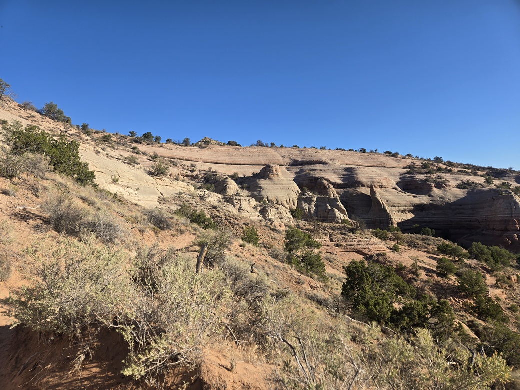
The route finally makes a bend west for the peak, now aiming for its slower north slopes. I could see numerous spires, some with rock caps, so-called rock tents. Who knows how long some of those rocks have been sitting atop the spire — thousands of years, easily. By now, I was off the Red Rock State Park property, now on land designated Eastern Navajo Agency, a sub-unit of the main Navajo Nation mainly on the New Mexico side of the border.
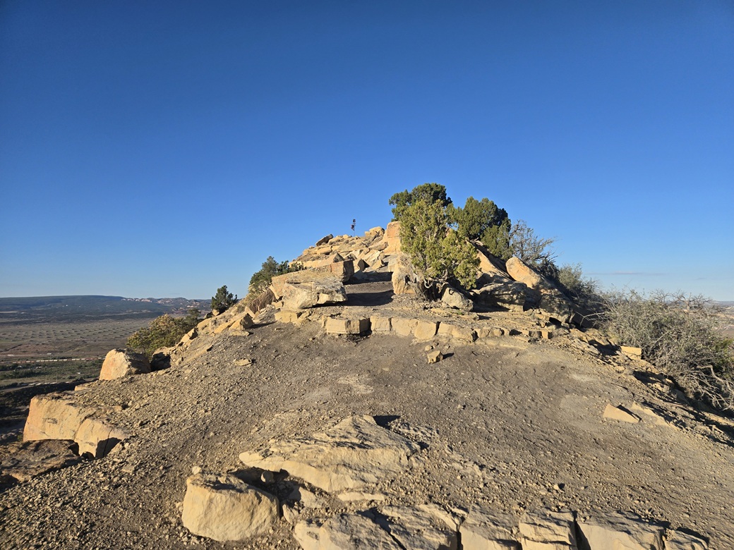
The trail then starts up the sandstone tiers. Rock steps were installed in some places and I had to pay a little more attention to stay on route. Along the way there were informational boards and park benches to rest (this was true lower down, too). I made sure to look up more often to be sure I didn't miss any new spires. It was also a lot breezier up here as well.
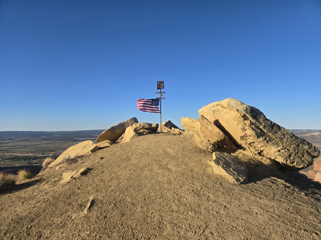
Shortly, I clambered up the higher rock steps and onto the summit ridge, walking to a flagpole with the American flag flapping in the steady breeze. It had taken me about 40 minutes to get here in about two miles. It was sunny now, but still very mild, in the low 60s. I tagged the high rocks, then sat down to get out of the wind.
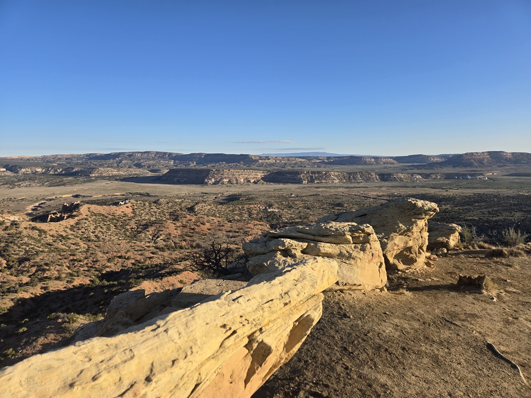
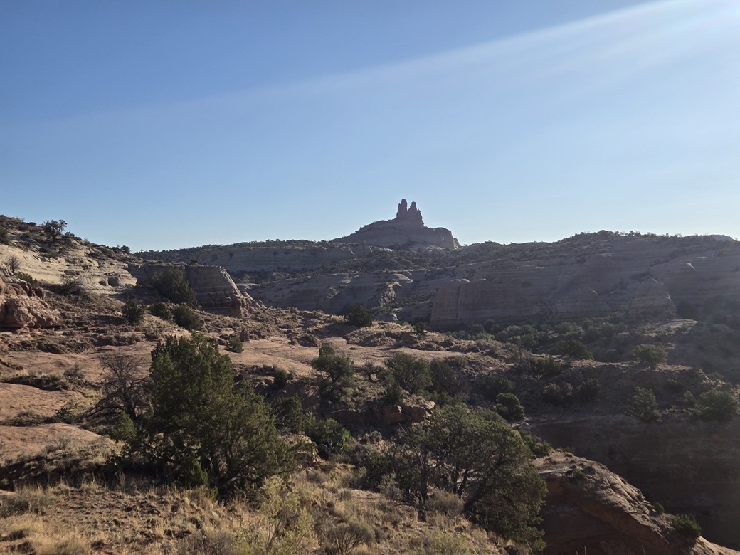
I spent a few minutes up top, as this was a very pretty summit and I enjoyed the scenery. To the north was more sandstone plateau country, and to the northeast, the two spires of Navajo Church, another impressive rock formation with a trail leading to it (but not its top).
Going down, I went at a steady pace, in no hurry. I met a Navajo couple on the hike up and we had a short chat. They mentioned Navajo Church and the trail to it. The lady said there are steps hewn into the rock to the top. If so, that would be a very exposed and steep series of steps. I had no plans to visit it, but I did snap a couple images of it.
I was back to my car in another twenty minutes, having not seen anyone else. It was still early and still very cool. Not bad for late June. I headed back into town, got gas and headed north and west into Arizona and my date with Fluted Rock.
This was a thoroughly enjoyable hike. It had all the ingredients for a great hike: all on trail, not too long, easy access, no fee, not crowded, close to the highway, and amazing views on and around the peak. I strongly recommend this peak if you're driving along Interstate-40 in Gallup.
|
|