
The Mountains of Arizona
• www.surgent.net
|
| Fluted Rock |
• Highpoint: Defiance Plateau • Navajo Indian Reservation • Apache County |
|
Date: June 30, 2026
• Elevation: 8,309 feet ✳
• Prominence: 1,059 feet
• Distance: 2.8 miles
• Time: 50 minutes
• Gain: 350 feet
• Conditions: Sunny, warm and very windy
Arizona
•
Main
•
AZ P1K
•
PB
•
LoJ
•
USGS BM Datasheet
I was on a three-day hiking trip, centering around Gallup N.M., then eventually down by Springerville in Arizona. The primary goal of this little run was to visit Fluted Rock, an interesting peak located way up on the Navajo Nation.
Fluted Rock is a rocky outcrop, an ancient volcanic neck, that rises about 300 feet above the surrounding terrain, this being the gigantic Defiance Plateau. The Defiance Plateau covers many hundreds of square miles, running northwest to southeast, mostly within Arizona but creeping into New Mexico
This little neck just so happens to be at the highest point on the plateau, thus giving it over a thousand feet of prominence. The plateau is mostly level, with the gentlest of slopes trending downward imperceptibly. Much of the plateau is covered in thick pine forest and features almost no other significant hills. An interesting geological feature nearby (and I drove within a mile of it) is the Buell Park kimberlite pipe, one of the largest in the world. Kimberlite pipes produce diamonds, but this one does not. Most kimberlite pipes don't.
Yesterday I had driven from Bisbee to Gallup, hiking Peak 7132 on the Zuni Pueblo along the way, then this morning, with a dawn start, had hiked Pyramid Rock east of Gallup. I was done there by 7 a.m.. I returned to Gallup, topped the gas, got some snacks, and then headed west into Arizona toward Window Rock via US-491 and NM-264.
I wanted to play it safe so I went to the Navajo Tribal Parks Department for a recreation permit. When I told the guy there where I wanted to go, he said I did not need a permit. I could go there on my own. This was good news. I shook his hand and thanked him, then started toward Fluted Rock.
From Window Rock, I went north on Route N-12, making a right at one light to stay on N-12, then near a big hospital, going left on N-7. I stayed on this road until I was in the community of Sawmill. Up to here, I had driven 20 miles and the roads were all paved. The signs, that's another story. Many were painted over, or so old and faint that they were unreadable.
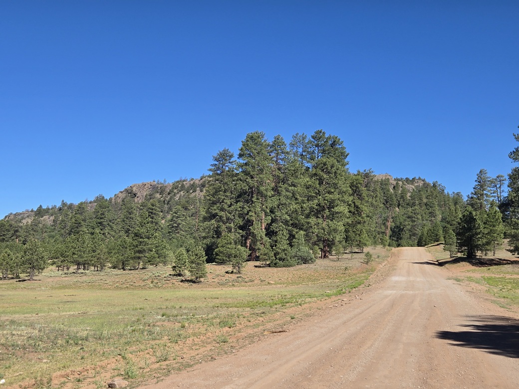
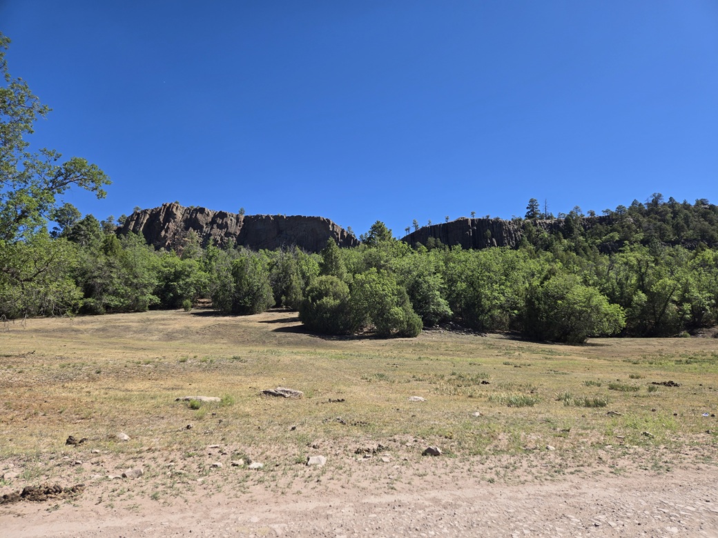
Past Sawmill, the road makes a southwest bend and becomes wide dirt and gravel. It was a good road but a little rough in spots, so I went about 20 miles per hour. I stayed right at an obvious Y-junction, still on N-7, heading west now. A few miles later, the rocky cliffs of Fluted Rock appeared. It was very pretty. I was in a big grassy meadow surrounded by trees, almost like in a park.
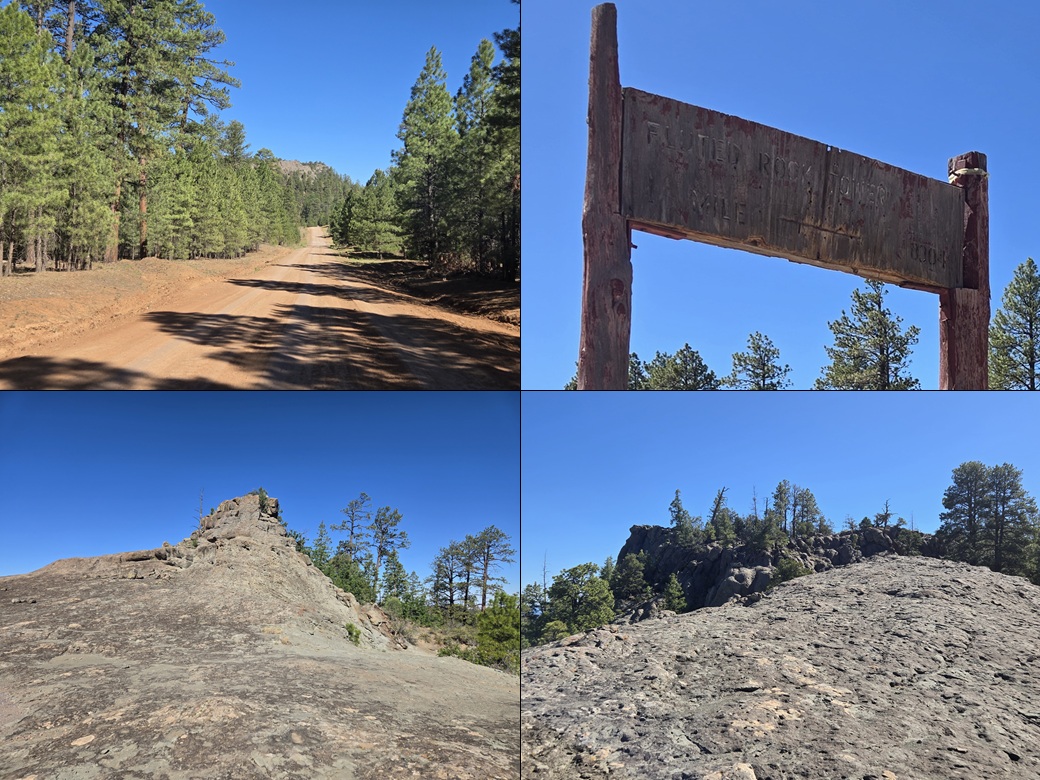
I stayed on N-7 until I was a little southwest of the rocky mass, coming to an old sign pointing to Fluted Rock Lookout, although the letters were almost completely worn away. I had covered 26 miles to here.
I went in on this scanter road (the maps call it N-9074). The road was uneven but manageable, tight with the trees. I went about a quarter mile. The road made a left bend and started downhill. Within fifty feet, another track went right (north). I parked here, there being some pullouts at this corner.
The hike would follow an old track that went to the top, where an old lookout still stands. I was on the move within minutes, walking up this track, covering about 500 feet. It was a rough track that would need 4-wheel drive. It soon meets the actual lookout-access track.
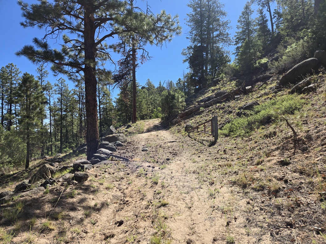
This track was in abysmal condition — heavily rutted, big rocks and a couple very large tree trunks partially blocking the tread. But it went up, often steeply. I passed an open gate along the way. Where it crests the top lip, its is rockier again. I cannot see a normal vehicle getting up this, but something smaller like a Razor might.
The "road" for a few yards is on an open rocky bald with two interesting rock outcrops at either end. It drops about twenty feet and becomes a road again, back into the trees. I stayed on this road and soon was nearing the top. The one-way hike covered a little over a mile and took me about a half hour.
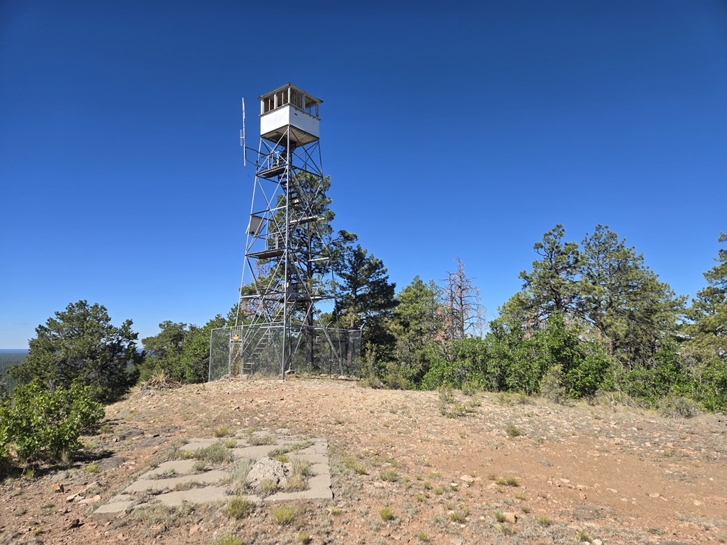
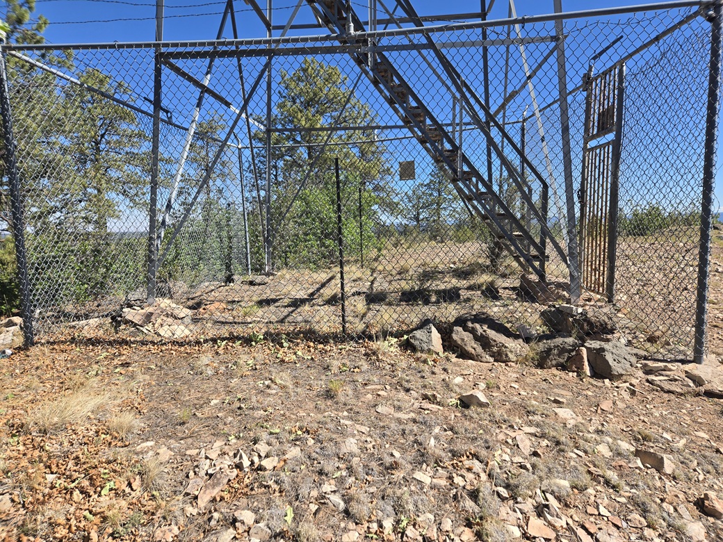
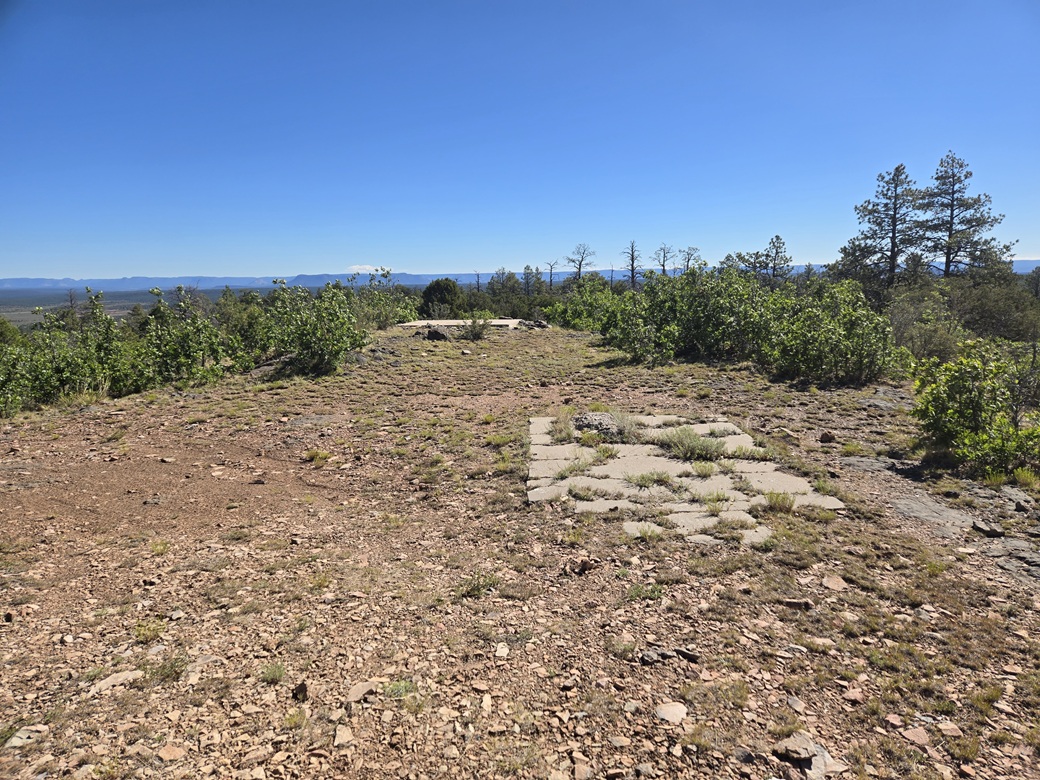
The lookout still stands and still looks to be in decent shape. It is surrounded by a fence so there was no way to access it. The highest point was just an educated guess. I felt some rocks at the southeast corner of the fencing looked highest, as did some rocks about a hundred feet to the north near an old concrete pad. One small pile inside the fencing looked like a contender. I tagged it with my pole from the outside.
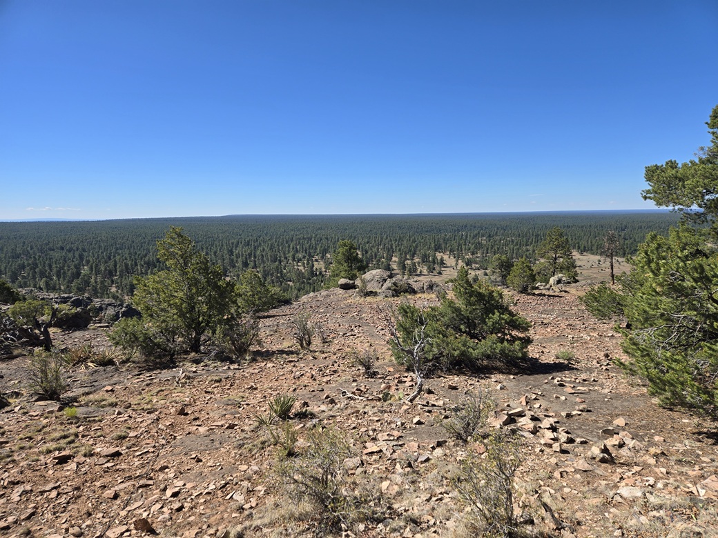
The views were superb. The day was sunny and clear, about 70° for now, with a steady breeze. There wasn't a cloud in the sky. I walked the open flat area from end to end. In each direction, all I saw was forest. I was impressed by the size of the forest, which extended to the farthest horizons. I spent close to ten minutes up here.
The hike down went fast, me just following the same route out. This did not take long, and the whole hike took less than an hour. It was a long drive for such a short hike, but I am happy I did it. Back at my car, I slowly exited back onto N-7, then drove all the way back to Window Rock, where I stopped for a snack at their McDonalds and to figure out what I wanted to do.
It was warmer now, into the 80s, and the winds were very strong. I spent about an hour here. I was now aiming for Springerville; it was just a matter of what routes do I want to follow. There were no other easy peaks in the immediate area, so I went with the shortest route.
From Window Rock, I went west briefly and caught N-12 south to Lupton at Interstate-40 (a 25-mile drive). I followed the interstate about ten miles to Sanders, where I picked up US-191 south, which I would follow all the way to Springerville, still over a hundred miles away.
The drive went fine. It was windy and kicking up small dust clouds in a couple spots. The route is pretty but dull, just long deserted ridges and low mesas with lots of rangeland and high-desert scrub in between. In a couple hours, I was in Springerville, the time about 12 p.m. now. I had some peaks in mind, and the story picks up here.
Because this peak is so isolated, it is the only ranked peak on its USGS quadrangle map, Sawmill. For lookout chasers, there are a couple more in the area, some nearby main roads. I did not visit these on my trip.
It's been a number of years since my last hiking on the Navajo Nation. I think it was in 2010 when I rehiked Beautiful Mountain. I never get up this far, and have just passed through the Nation a couple of other times in recent years. I appreciate that they have an open-minded attitude about permits and allowing people on to visit. If it wasn't so far, I might visit more often.
|

|