
The Mountains of New Mexico
• www.surgent.net
|
| Peak 7132 |
• Zuni Pueblo • Zuni Mountains • McKinley County |
|
Date: June 29, 2026
• Elevation: 7,132 feet
• Prominence: 351 feet
• Distance: 1 mile
• Time: 25 minutes
• Gain: 60 feet
• Conditions: Sunny, warm and breezy
New Mexico
•
Main
•
PB
•
LoJ
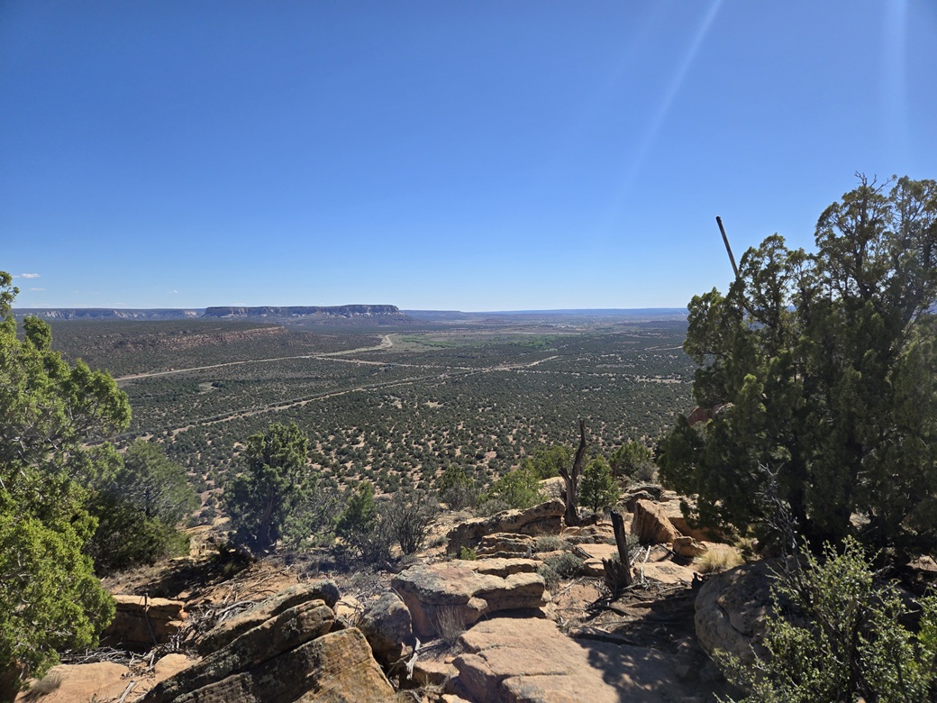
This "peak" is a low mesa formation with very gentle slopes from the east, rising to a cliff's edge facing west with about 300 feet of drop. It lies on the Zuni Indian Reservation, commonly referred to as the Zuni Pueblo (technically, it's Zuñi), in western New Mexico, about an hour south of Gallup. Multiple towers, including ones for the FAA, line the summit ridge.
I was on a three-day peak run, aiming for Gallup, then tomorrow, for the Navajo Nation inside Arizona, where I wanted to climb a P1K peak, Fluted Rock. I had some open time and the weather was actually mild for late June, clear and sunny, dry with no storms for the time being.
I had planned to leave my home in Bisbee early this morning, like at 3 a.m. early, so that I'd be in this area about 10 a.m.. But late yesterday, I felt awful, like a cold was coming on. I napped, then decided to sleep in today, thinking I may just postpone every thing a day. However, when I awoke this morning, I felt good. With no other plans. I decided to get going, leaving my place about 9 a.m..
It is a long drive no matter what route I took. From Bisbee I caught US-191 in Elfrida, then Kansas Settlement Road into Willcox, then a little spell on Interstate-10 and then US-191 again into Safford, where I stopped for gas, a snack and something to drink.
From Safford, I went northeast to Three Way, then took the high road (AZ-75) into New Mexico past Mule Creek and catching US-180. I stopped again in Alma for something to drink. The day was warm (90s) and I was dehydrated just driving. I passed through Reserve, Cruzville and Apache Creek, and eventually into Quemado.
From Quemado, I went north on NM-36, Gallup about 120 miles away still. Out here, the land is high desert rangeland, with few hills, just long rolling ridges and low mesas. It's pretty, but tedious. The only town along this stretch is a locale called Fence Lake. It's just a few homes and a church (?), plus a post office. I looked online and Wikipedia said the population was 0 as of 2023. It's pretty obvious a few people still live out here. This is very remote country.
Finally, I was getting close to this little peak. Highway NM-36 ends at NM-53, by now on the Zuni Pueblo. I went west briefly then got onto NM-602 going north. The peak lies at this corner, to the west. I could see the towers from the road.
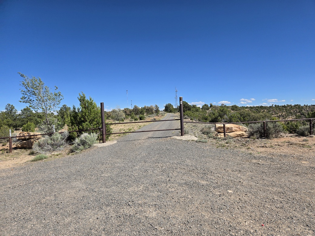
I went north on the highway a little over three miles, then went west on a good dirt road (called "Indian Service Route 7" on the map, but not signed). I followed this road a mile, then went due south at a junction (the online maps call it Indian Service Route 50). This road is gravelled and easy to drive. I was on it a little over a mile, coming to a gate. I parked in the turn-around.
By now, it was about 3 p.m. and I had driven 370 miles. It was a fine sunny day, about 80° with a steady breeze and very low humidity. I was eager for any sort of physical activity. I went light, just me carrying a water. I eased through the gate, then just fast-walked up the road toward the towers.
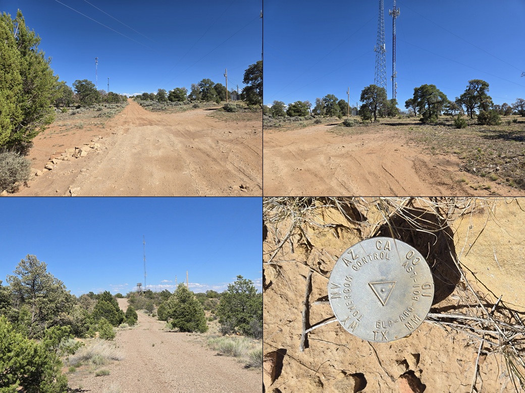
There are some substantial towers early on, big imposing ones that apparently are part of the FAA network. Each tower would be enclosed in its own fencing with the usual notices against trespassing, tampering and RF radiation. There were no signs or other notices against walking the road itself.
I continued, passing a couple more traditional-looking towers. I found an interesting survey marker about halfway (see my image). This was stamped with various state abberviations and some major city abbreviations — for El Paso, Albuquerque, Boise and Las Vegas. It had the look of a cadastral marker. I could find no references to it online.
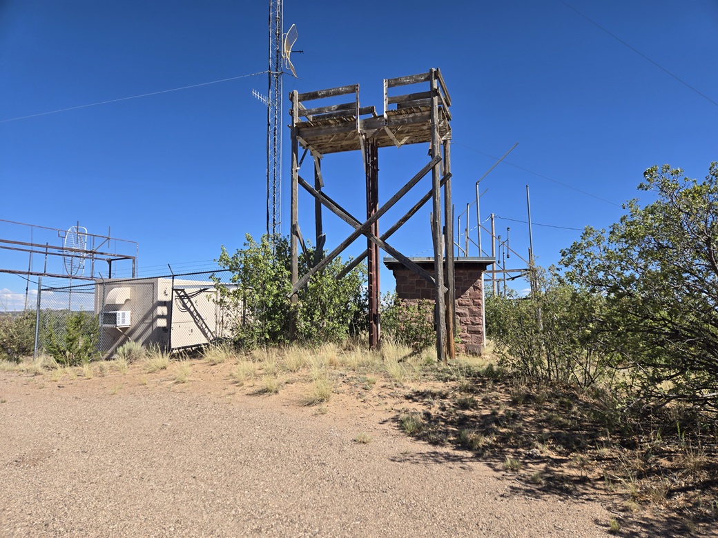
The road aims toward a slight rise with one last tower. This would be the presumptive highpoint. It did feel a few feet higher when looking back. This tower seemed out of commission. I walked around the base and also nearby, stepping on anything sticking out of the ground.
Then I just hiked out, fast-walking the whole way. I even tried to jog but I just can't anymore. Nevertheless, I was out within a half hour. This did nicely. I got in an easy peak and had a chance to stretch my legs after so many hours driving.
This peak sees very few people. Not because it's difficult or with prohibitive signage. It's just not on the way to anywhere. Nobody gets out this way unless they have a good reason to be here. It's not on any major route. I've been through here twice in the distant past, once with my wife (going south to north) and once on my own (following NM-53 from Grants through Zuni (the town) into Arizona at Witch Well).
Back at my car, I got myself back to the highway and continued north. In about an hour I was in Gallup. I stopped for basic groceries then found a hotel to stay in for the night. It was too warm for other hikes and getting late in the day. I was beat, but feeling good too.
Tomorrow, I would hike Pyramid Rock, then make my way back into Arizona.
|
|