The Mountains of Utah
• www.surgent.net
|
| Naomi Peak |
• Highpoint: Cache County • Highpoint: Bear River Mountains • Cache National Forest |
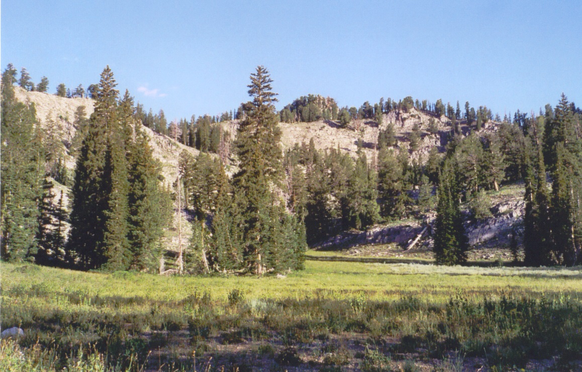 Meadows encountered on the hike 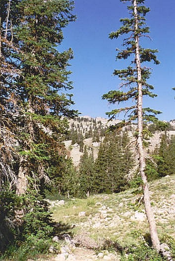 The skyline up ahead
|
Date: August 11, 2003
• Elevation: 9,979 feet
• Prominence: 3,159 feet
• Distance: 7 miles
• Time: 3 hours
• Gain: 1,800 feet
• Conditions: Clear, occasional boobs
Utah
•
PB
Naomi Peak is Cache County's highest peak. It was not part of my original agenda, but my other hikes had gone well and faster than planned, so I took advantage of the opportunity to day-hike this peak. I had no maps, but I had a description from High In Utah, which would prove to be sufficient.
So far this week, I had hiked two Utah summits, Bridger Peak and Bull Mountain, both short hikes sandwiching the giant hike of Borah Peak (Idaho) from two days ago. After two nights camping, I spent last night in a hotel in Logan.
I got an early start and drove northbound on US-89 into Logan Canyon about 20 miles to the Tony Grove access road. I followed this road 7 miles as it led up into the wilderness and ended at a lake. I parked in the farthest of the lots, nearest the lake and trailheads, paid my parking fee, and got my gear together. The weather was magnificent. Only one other vehicle was there, and they looked like they were going to row in the lake. I started my hike at 7:15 a.m.
The trails are all well marked and I had no trouble following them. The trail gains at easy to moderate grades for about the first mile, crossing a number of meadows and sparse stands of trees. There were a few areas where the trail got steep and slightly eroded, but overall, conditions were good, and I made good time.
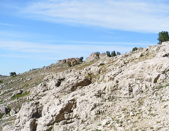
Roughly the halfway point, the trail comes up to a pass, where Naomi Peak is visible for the first time. It's the left of two little rocky outcrops, although this is not apparent, as from down low, many points look higher. I continued up the trail and achieved the main ridge. From here I followed a short side trail for 1/8 mile to gain the top. The rocks have enough "steps" in them that I didn't need hands. I was at the top about 8:30 a.m., a 1,800-foot gain in a little over 3 miles and 90 minutes. For me, that's moving fast.
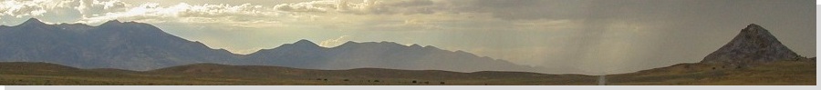
From the top, I could see the city of Logan down in the valleys below, and many mountains surrounding me. The west-facing slopes of Naomi were sheer cliffs. The rocky, spiry summits of Mounts Gog and Magog were to the north, while way off to the west I could make out ranges that must have been close to the Salt Lake itself. I stayed up top for 40 minutes, sitting and staring. When I started to get a chill in the pleasant breeze, I started the trek down.
The hike down was easy and eventless, except for a point about a half-mile below the summit. As I was hiking, head down and not paying a whole bunch of attention, I heard a shriek: three women below me were hiking topless! They'd seen me before I saw them and they were frantically putting back on their shirts. I told them it was cool and that I didn't mind, but they seemed pretty embarrassed and they covered up real fast. I reiterated that it's okay by me, no big deal. Still, they were intent on covering up. It felt like I was in college again.
I was back to my car just after 10 a.m. for a round trip of about 3 hours. It was warm by now. I spent the rest of the day exploring the Salt Lake itself and setting myself up for a hike the next day of Deseret Peak.
|
|