The Mountains of Utah
• www.surgent.net
|
| Bridger Peak |
• Highpoint: Rich County • Bear River Mountains • Wasatch-Cache National Forest |
 Bridger Peak
|
Date: August 8, 2003
• Elevation: 9,255 feet
• Prominence: 855 feet
• Distance: 2 miles
• Time: 90 minutes
• Gain: 1,000 feet
• Conditions: Not bad, a little cloudy
Utah
•
PB
>
I flew into Salt Lake City this morning, planning to meet Adam Helman and Barney Metz tomorrow for a hike up Borah Peak in Idaho. I arrived in the morning and had a whole day to get to central Idaho, so I took a couple hours and hiked Bridger Peak, the highest point of Rich County, Utah. It would be a short hike and a chance to get a little conditioning in.
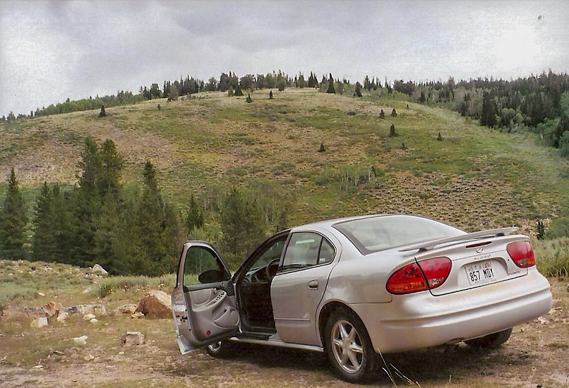
From Salt Lake City, I drove northeast to Logan, where I stocked up on groceries, then up Logan Canyon (Highway US-89) another thirty miles to the gravel road towards Bridger Peak. I drove my little Oldsmobile Alero rental up this good dirt road and pulled off in a wide area. I got my boots on, then got to thinking that I may have pulled aside too early, since the description of the peak and the hike didn't match what I was seeing. Sure enough, after driving another mile, I found the right pull-out, with Bridger Peak in plain view in front of me. I guess I should have paid attention to my odometer a little more closely.
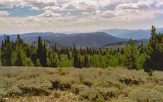
I followed an old road (now an ATV track) downhill about 50 feet to a creek, then steeply up the other side. For about 200 yards, the track went straight up the hillside, and the loose dusty soil made footing a little sloppy. Finally, the track bent slightly and the steepness moderated. After a half mile of hiking, I left the track at a big rock cairn and started bashing through the brush and trees on a north bearing. After a few minutes of hiking up and up and up, I came to a clearing where the summit cairn was visible at the far end, near a stand of trees. In moments I was at the top.
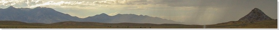
I rested here, signed in and looked out over the pretty views down into Bear Lake to the east. Most of the names in the log book were familiar, with others explicitly stating their Utah County highpoint totals. This is a peak that otherwise would not attract too much attention. After a few minutes, I hiked out, a total round trip of two miles and a thousand feet of gain. Counting my rest, my round trip time was 90 minutes.
From here, I drove toward Garden City on Bear Lake's shores, then into Idaho and across miles of desert plain and lava beds to the campground below Borah Peak. I arrived in the late afternoon and milled around camp, working up the energy for tomorrow's monster hike up Borah Peak with Barney and Adam.
|
|