The Mountains of Arizona
www.surgent.net |
|
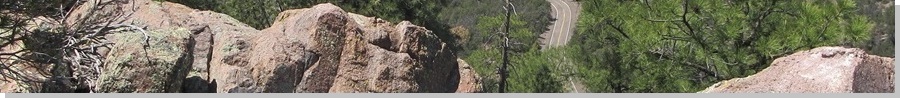
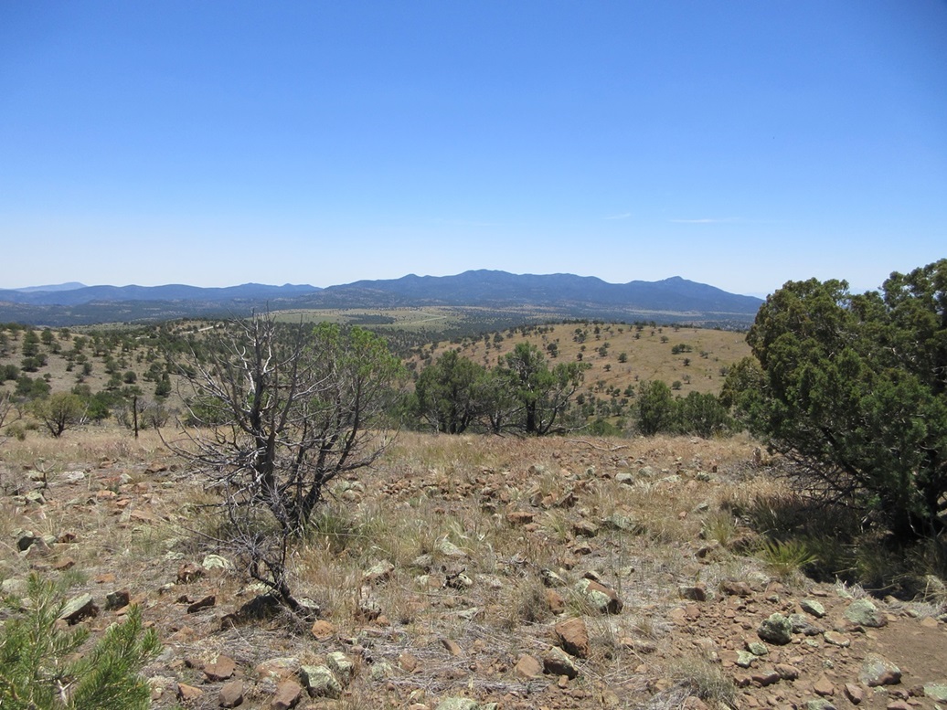
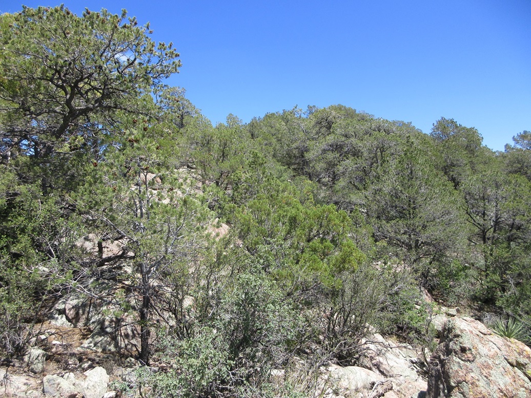
Sardine Benchmark • Four Bar Mesa • Peak 7379 I was heading north to the Alpine area for a weekend of peaks and camping. The weather is perfect right now at these mid to high elevations, and I had a number of 9,000-foot peaks on the agenda, mostly clumped around Alpine and Escudilla Mountain. To get there, I would be passing through Clifton from the south, and following the Coronado Trail, which is highway US-191. This is a very curvy and scenic highway that runs about 90 miles from Clifton to Alpine. It had been over ten years since I last drove this route and I was looking forward to driving it again. There are a number of peaks that lie near the highway, so I copied maps for about a half dozen of them and would then decide which ones to hike (or skip) when I got there. At these mid elevations, in the 6,000-7,000 foot range, temperatures would be slightly warm, in the high 70s and low 80s. These peaks can be brushy too, so I did not want a multi-hour brushy epic. I wanted short hikes, something to break up the drive. I left Bisbee a little after 7 a.m., and followed local roads onto US-191 near Elfrida, then north through Kansas Settlement and Willcox onto Interstate-10, then US-191 again to Safford and then eastbound into Three Way and Clifton. I stopped in Clifton for groceries, then proceeded north on US-191, going slow through Morenci and taking in the massive mine works here. I even saw a few of those trucks that are as big as an apartment building driving along with massive rocks in their holds. Finally, I had passed the last of the mines and was in the mountains. Here, the highway is narrow and very curvy, speed limits often 20 miles per hour at most, and even that feels fast. Sections lack guardrails, and attention is mandatory. Not surprisingly, the majority of people up this far were on motorcycles. This may be one of the best motorcycle routes in the United States. Finally finally, I had come to the first peak on my list, Sardine Benchmark. It was about 11 a.m. now, sunny and clear, and slightly warm, but calm and comfortable.
Date: May 18, 2024
• Elevation: 7,762 feet
• Prominence: 302 feet
• Distance: 0.9 mile
• Time: 35 minutes
• Gain: 305 feet
• Conditions: Sunny and warm
Arizona
•
Main
•
PB
•
LoJ
•
USGS BM Datasheet
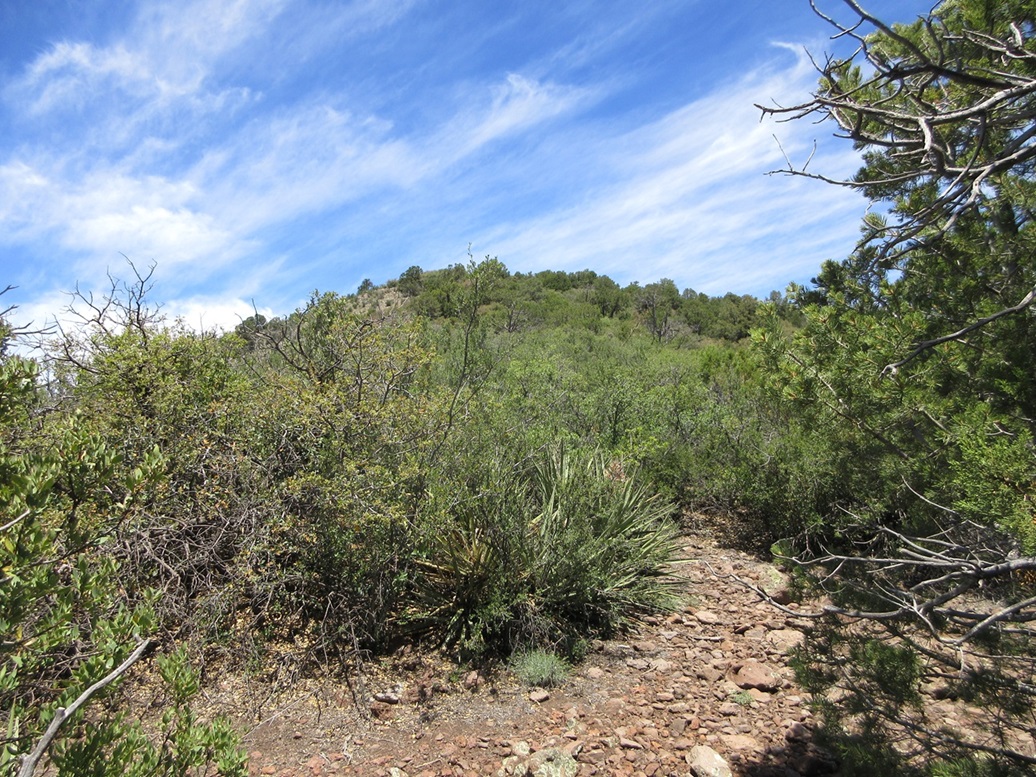
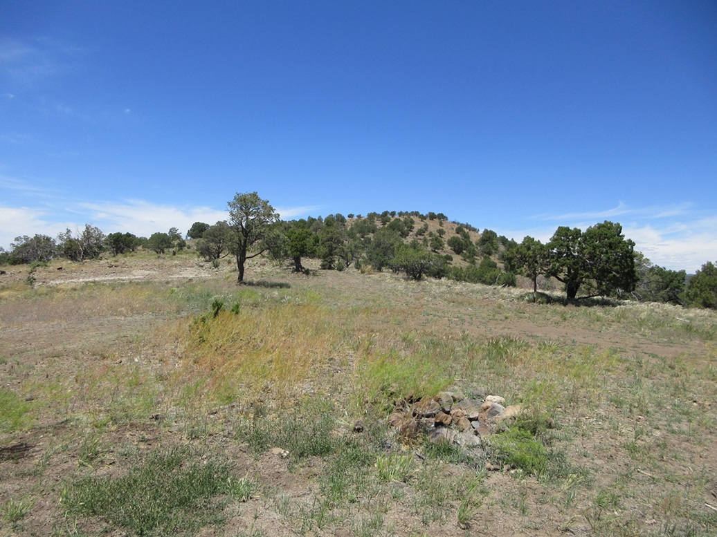
Sardine Benchmark is atop a small hill that rises immediately above the highway. I was here in 2013 when I climbed Mitchell Peak, which is the highpoint of this mini-range of peaks north of Clifton.
I pulled into the HL Picnic area acorss the highway and parked, just me for now. I got properly dressed, with long everything because even this short peak promised a lot of brush. I recall my experience on Mitchell eleven years ago, where the brush was taller than me.
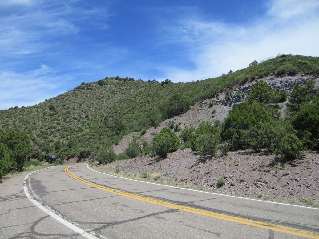
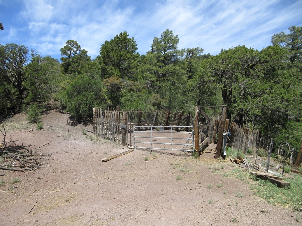
I locked the car, crossed the highway (looking both ways, of course), then walked up a road to HL Saddle, about a five minute walk. I went through a gate near a corral, then angled left off the road and up the slope, paralleling a fence line. There was a meager trail to follow.
Soon, the brush closed in and forced me away from the fence line. I entered the brush by eyeballing any openings I could, real or imagined. I knew I needed to be up on the ridge, just about 40 feet above me. I pushed and grunted and occasionally cussed my way through the woody tangles and located myself on the ridge, which was slightly more open, and there was the fence again.
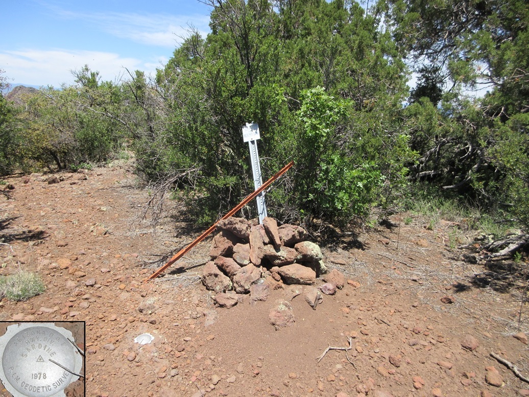
The top was just another hundred-plus feet above me, and I followed the fence, which tended to have a narrow opening beside it. The few times I veered away from it, I regretted it. It was best to stick close to the fence. Even the brushy bits were easier to push through close to the fence.
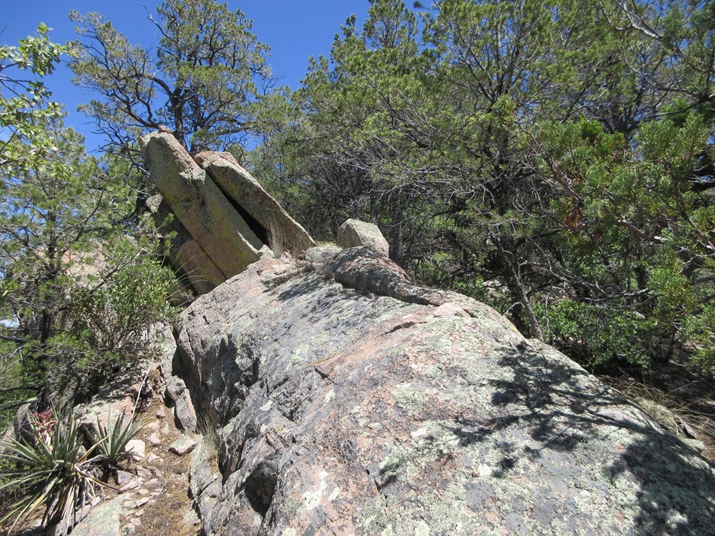
I was on top quickly, the one-way hike taking about fifteen minutes. The fence makes a bend and I could see the summit, benchmark and benchmark post a few feet beyond it. I angled right onto some rocks, then found a nifty rock that allowed easy passage over the fence. I tagged the benchmark and post, then found a boulder about two feet high in the brush about five feet behind the post. I felt this was probably the highest point. I did not find a register. The benchmark is a silver disk set by the Arizona Department of Transportation in the 1970s.
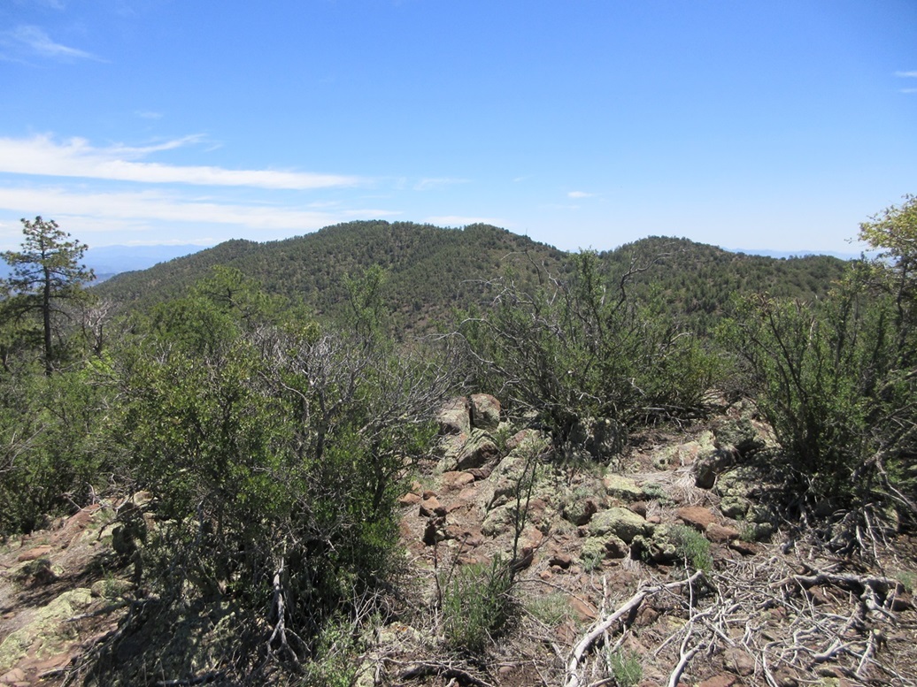
Views were good, and I snapped a couple images, but I did not linger. I descended the same way, sticking close to the fence except when absolutely forced away from it. I was back to my car soon, the round trip taking about a half hour, covering just 0.9 of a mile. By now, a group of motorcyclists had rolled in the HL Picnic area taking a break. I was pleased to get this peak done, being the first one of my trip. Getting that first one done always feels good.
I continued north a few miles, and was looking at a peak near the Juan Miller campground, but immediately canceled any attempt, never even getting out of the car. I was stopped by a fence while driving, and the slope, while easy, looked choked with brush. This would be better done when much cooler.
A few more miles brought me close to my next peak, the highpoint of Four Bar Mesa.
Elevation: 6,781 feet
• Prominence: 465 feet
• Distance: 1.1 miles
• Time: 35 minutes
• Gain: 190 feet
• Conditions: Sunny and warm
PB
•
LoJ
•
USGS BM Datasheet
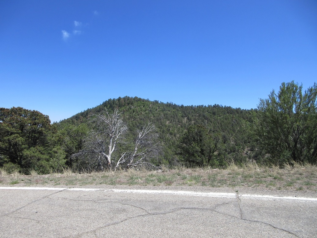
Four Bar Mesa is the lower-elevation "interlude" between the curvy mountain roads south by Micthell Peak and before things get steeper and curvier north by Rose Peak and the Mogollon Rim. Fpr about a ten-mile stretch, the highway is straight and level with just a few turns, to where I could even go about 50 miles per hour for brief segments.
I drove to a point where the highway reaches a soft apex just before it drops somewhat steeply to the east of the gentle hill. It was about twelve miles of driving from the HL Picnic area, as I recall. At this apex, there is a dirt toad ingress point on the west side of the highway. I drove in and parked in the shade of a juniper tree.
This peak is just a low, gentle hill, and to my surprise, not covered ober in woody scrub. Instead, it was mostly open meadow, low grass, and spotty piñon and juniper trees. I was about a half mile south of the highpoint, which was not visible from here for the moment.
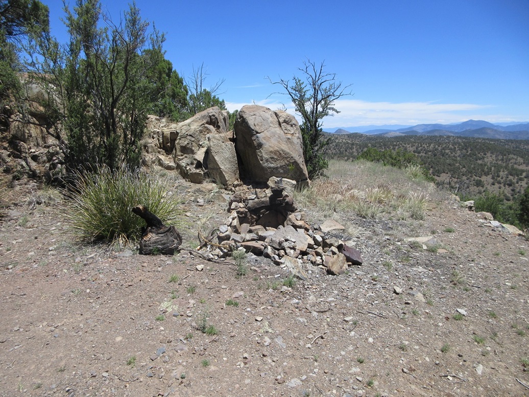
I walked the continuation of the track for another hundred yards or so, to where it ends near a small cliff, I surmise that might be an old mine dig. I walked up the slope beside the cut and was soon on top of the lower hilltop. I angled a little left, dropped about 30 feet to a saddle, then up to the real top. This went fast, just fifteen minutes from the car.
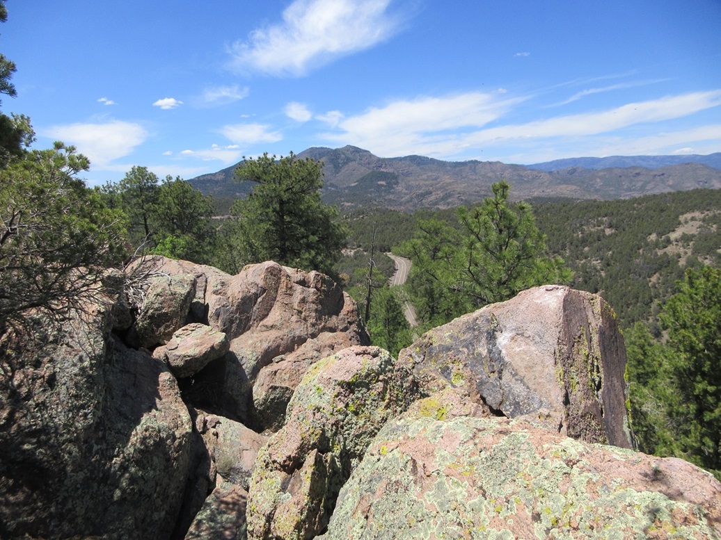
The top is flat, and I found a cairn and register. Views are good because it is elevated enough to give a good perch when looking at the mountains and valleys in any direction.
I hiked out the same way. I did not see it on the hike, but I discovered later there is a benchmark monumented somewhere in the low point between the two hilltops. The datasheet says it's a Department of Transportation disk, set in the 1970s (similar to the one at Sardine Benchmark Hill).
Back on the highway, the road became curvier immediately. I was now entering into the hills surrounding Rose Peak, the main big mountain in these parts. The next peak wasn't far up, maybe 6 or 7 miles.
Elevation: 7,379 feet
• Prominence: 319 feet
• Distance: 0.6 mile
• Time: 30 minutes
• Gain: 280 feet
• Conditions: Sunny and warm
PB
•
LoJ
This next peak does not have a name, rising northwest from bigger Pipestem Mountain by about a mile. I looked at Pipestem, but passed on it, as I wanted to keep these hikes short.
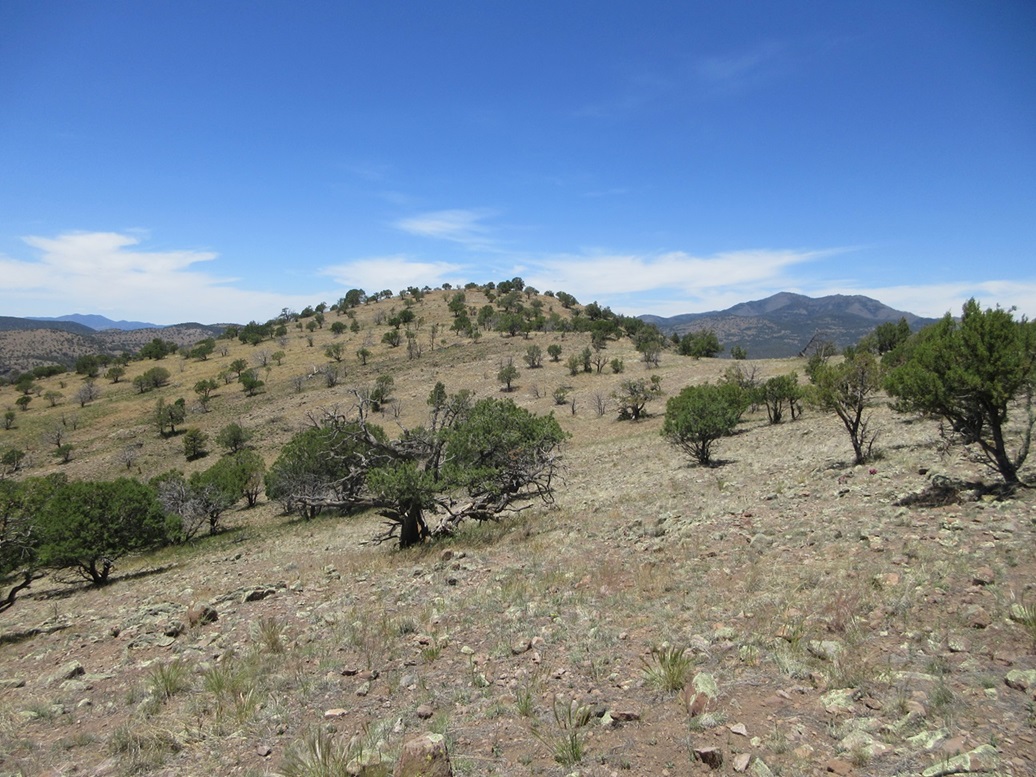
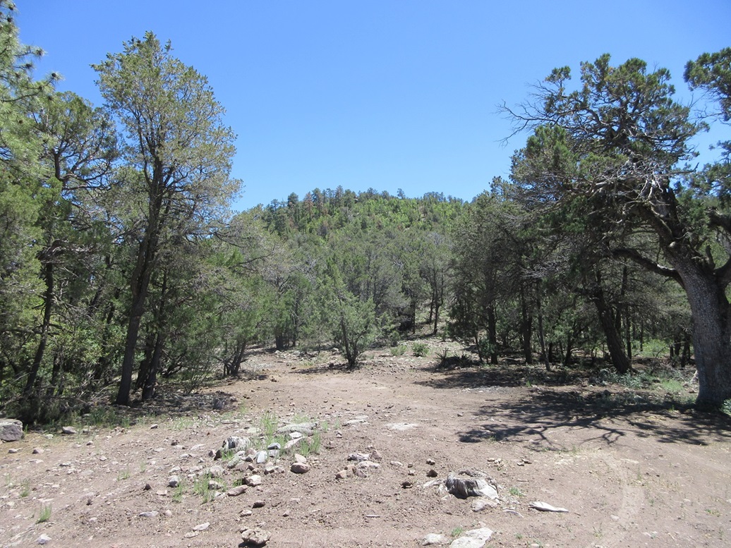
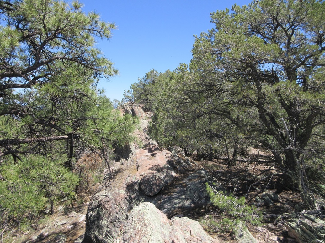
I parked north of the peak in a pullout, which serves as trailhead parking for "Trail 14", which is one way people hike into the Blue Range Primitive Area. I started walking immediately, heading upslope. It was steep and with plenty of low trees, but not complicated. Within minutes, I was on the peak's west-trending ridge.
This ridge was basically a long string of rock outcrops, invisible from below due to the trees. North of the rocks, they formed into irregular cliffs, and south, sloping slabs with lots of brush. I was able to weave through the rocks going from one side to the other.
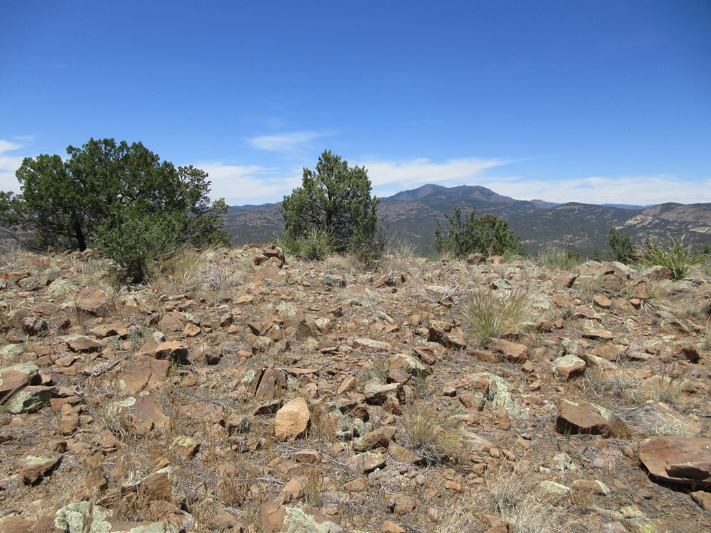
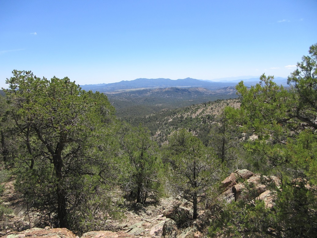
I came upon the top rocks. As usual, I wasn't sure so I walked a few feet farther to be certain the slope dropped from here. I found a small cairn and register tucked between the two highest rocks. Andy Martin and Doug Kasian were here in 2013. I was the first to sign in since them. Yeah, this isn't much of a peak, most people would drive on by it.
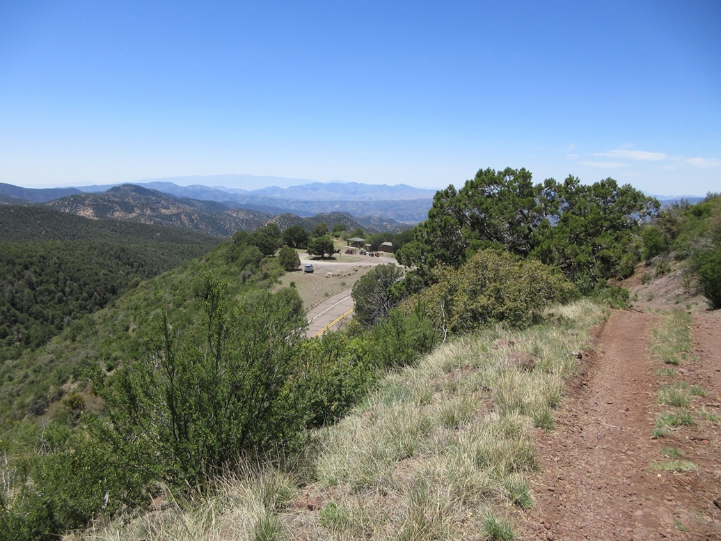
The hike down went fast and I was back to my car within a half hour. It was about 2 p.m. now, and I already had three peaks for the day. There were no more peaks down low that interested me, so I got busy driving up US-191 up onto the Mogollon Rim and the highlands south of Hannagan Meadow. In less than an hour, I was now up at 9,000 feet, with time for two more easy peaks. The story picks up here.
The drive allowed me to inspect other peaks for future explorations. Pipestem Mountain would be one of the bigger catches, but looks like it would take a couple hours, and I suspect the brush would be about the same was on Peak 7379 — heavy but not impossible. There are plenty of other peaks and trails in the area and I will return, probably to concentrate on these areas.
Two of these peaks, Sardine and Peak 7379, are "borderline" ranked peaks. Unfortunately, the 1-meter Lidar data has not been released (or compiled, for all I know) for this area. The Lidar maps still use the coarse 1/3-arcsecond data which does not add anything of value above what the maps say (at best, the data just lends credence, but nothing definitive).
Peak 7379 has 299 feet of clean prominence, the map marking in 40-foot intervals. Thus, its true map-derived prominence is likely between 310-320 feet. Sardine Benchmark has a clean prominence of 282 feet, again in 40-foot intervals. The saddle contours slightly favor the lower elevation, which suggests that Sardine Benchmark Hill probably has above 300 feet, but not by much. I'd give it a 70% likelihood.
|


|