
The Mountains of Arizona
www.surgent.net |
|
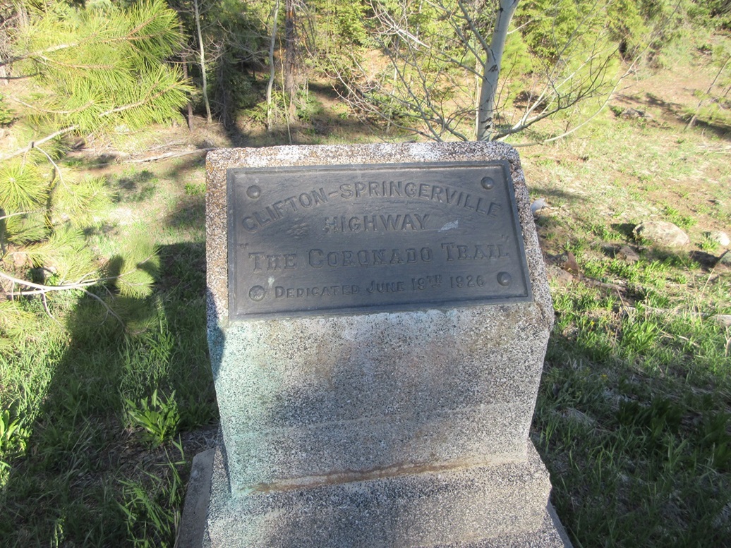
Peak 9132 • Bear Wallow Wilderness Highpoint I was driving to the Alpine area in Eastern Arizona, taking the scenic route via US-191, the Coronado Trail, up from Clifton. I had left Bisbee early this morning, was in Clifton by 10 a.m., then spent a few hours slowly driving the highway northbound through the mountains. Along the way, I tagged three easy peaks. It was around 2 p.m. and I was done with the lower-elevation peaks. I drove up the grade onto the Mogollon Rim, now above 9,000 feet elevation. Whereas it had been slightly warm down lower (70s, low 80s), it was noticeably cooler up here, in the mid 60s. The day was calm with bright blue skies and just wisps of clouds. I had three peaks on the agenda in the immediate area, but realistically had time for two today. I would camp somewhere and hike the third peak tomorrow morning. First up was Peak 9132.
Date: May 18, 2024
• Elevation: 9,132 feet ✳
• Prominence: 302 feet ✳
• Distance: 0.5 mile
• Time: 20 minutes
• Gain: 60 feet
• Conditions: Sunny, cool, thorny
Arizona
•
Main
•
PB
•
LoJ
•
Interactive map
•
Lidar
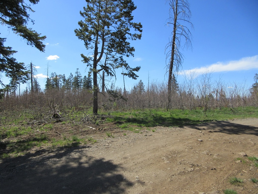
Just a couple miles north of the rim, I turned onto Forest Road 55/54. This road heads west but zig-zags with the terrain, heading generally downhill toward Peak 9132, a long ridge-peak with no distinct summit point.
The road was decent but not great. It was just dirt, not gravelled, and while passable in a Subaru Forester, there were short segments of rubbly rock, some ruts, and places where mud could have been a problem had it been moister. I went in a little over three and a half miles and parked alongside the road near a track that heads up to the ridge.
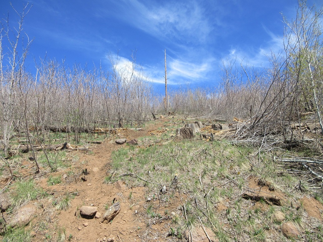
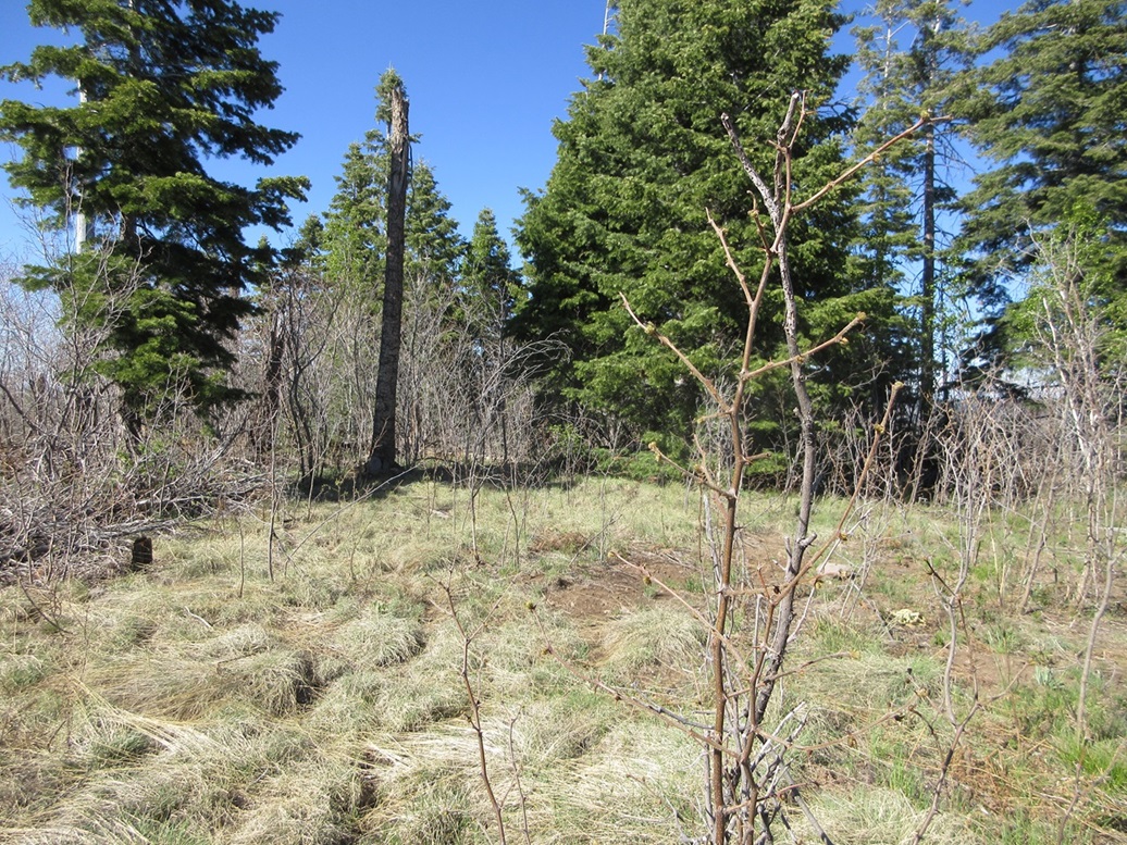
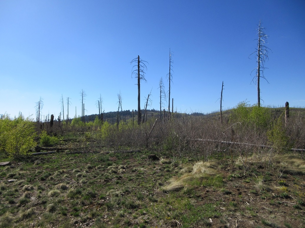
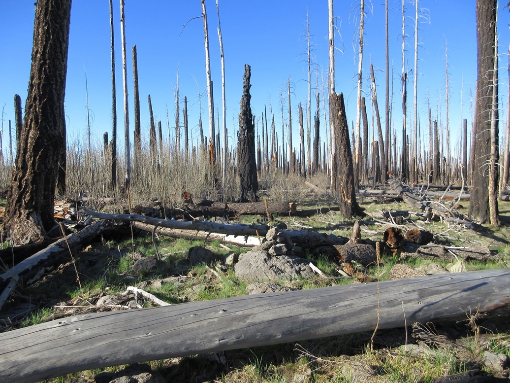
This peak has nothing going for it and were it not ranked (and barely at that), I would have gladly ignored it. It was affected badly by fires in the past twenty years. The trees were killed off, and in its place, dense tangly doghair growth crowds the entire ridge. In between, thick thorn stalks grow about five feet tall.
The track is open and gained me about 60 feet in a couple minutes, bringing me to a fence. The summit was visible, about a hundred yards distant, a lone partially-alive tree marking the top. There was an open track alongside the fence, but the thorny catclaw has taken over. I eased through as best as I could, but the thorn stalks would grab me on my pant legs and jacket and literally stop me. I'd have to wriggle free to get loose from these stalks.
Fortunately, this was short, and I was on "top" a few minutes later. The fence line runs across the top, and the highpoint appears to be south of the fence near the tree. I found a cairn and remnants of a baggie. Matthias later mentioned he placed it there but did not expect it to survive.
I snapped a couple photos then turned right around and walked out, cursing the thorn stalks to hell as I went. Later, down in Alpine at a general store, I would purchase an 18-inch machete. I could have used it here.
The round trip hike was short, just 20 minutes. I got back in the car and drove about a quarter mile to a sharp bend in the road. The highpoint of the Bear Wallow Wilderness is at this corner, which is a waypoint of its boundary. I got out and that was it. I did not see anything to suggest a boundary, no fence or post or anything. I walked the area for a few minutes.
I then drove back out to the highway. Including drive times, this journey took about 45 minutes. Studying the Lidar data later, which is mapped to the 1-meter scale up on top the Mogollon Rim, the highpoint is at 9,132 feet and its prominence 302 feet, whereas before it was a soft-ranked peak due to the uncertainty of the map. A 9,126-foot spot elevation to the north is lower (says Lidar as well as visually) and I did not visit it.
I only went a mile on the highway before turning off onto Forest Road 25, now aiming for Reno's Neighbor.
Elevation: 9,134 feet
• Prominence: 404 feet
• Distance: 0.5 mile
• Time: 25 minutes
• Gain: 205 feet
• Conditions: Sunny and very pleasant
PB
•
LoJ
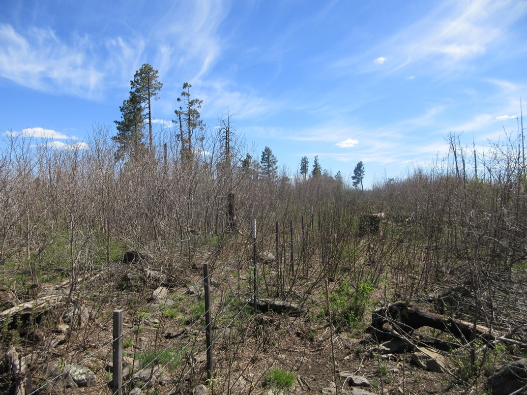
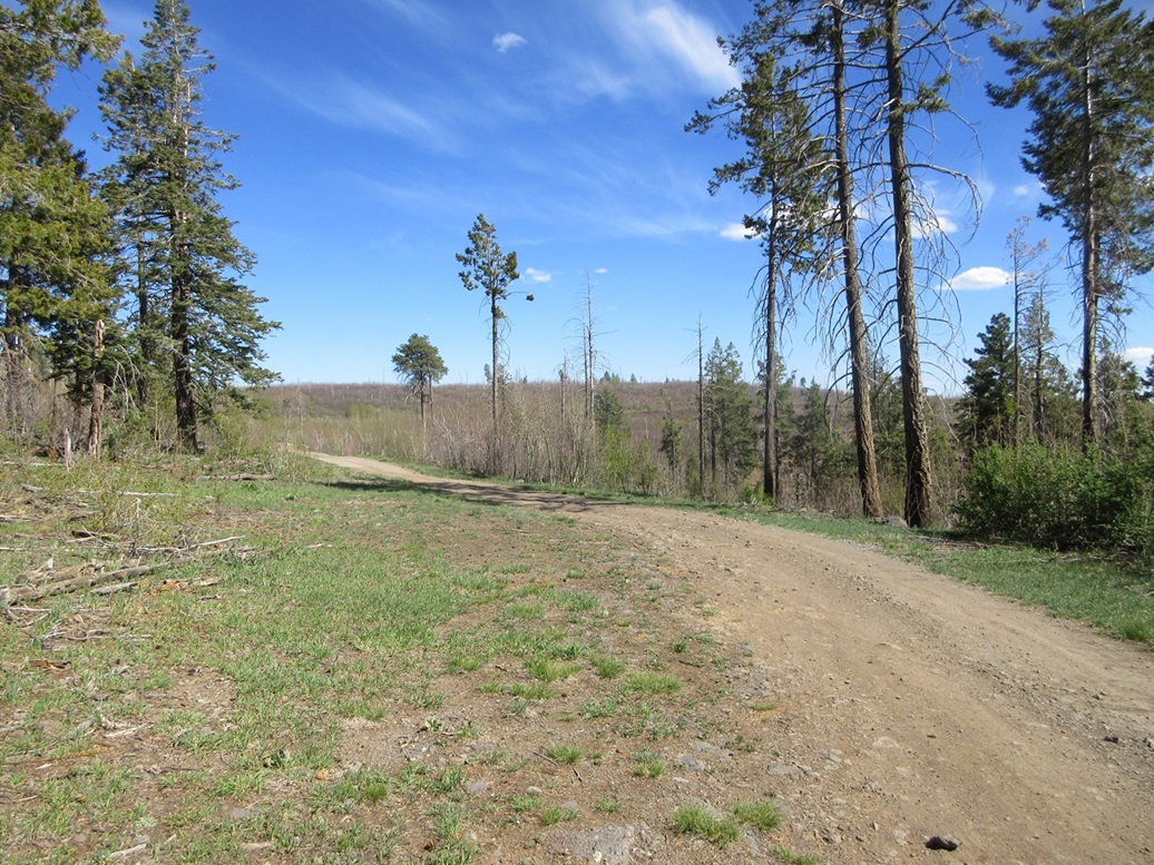
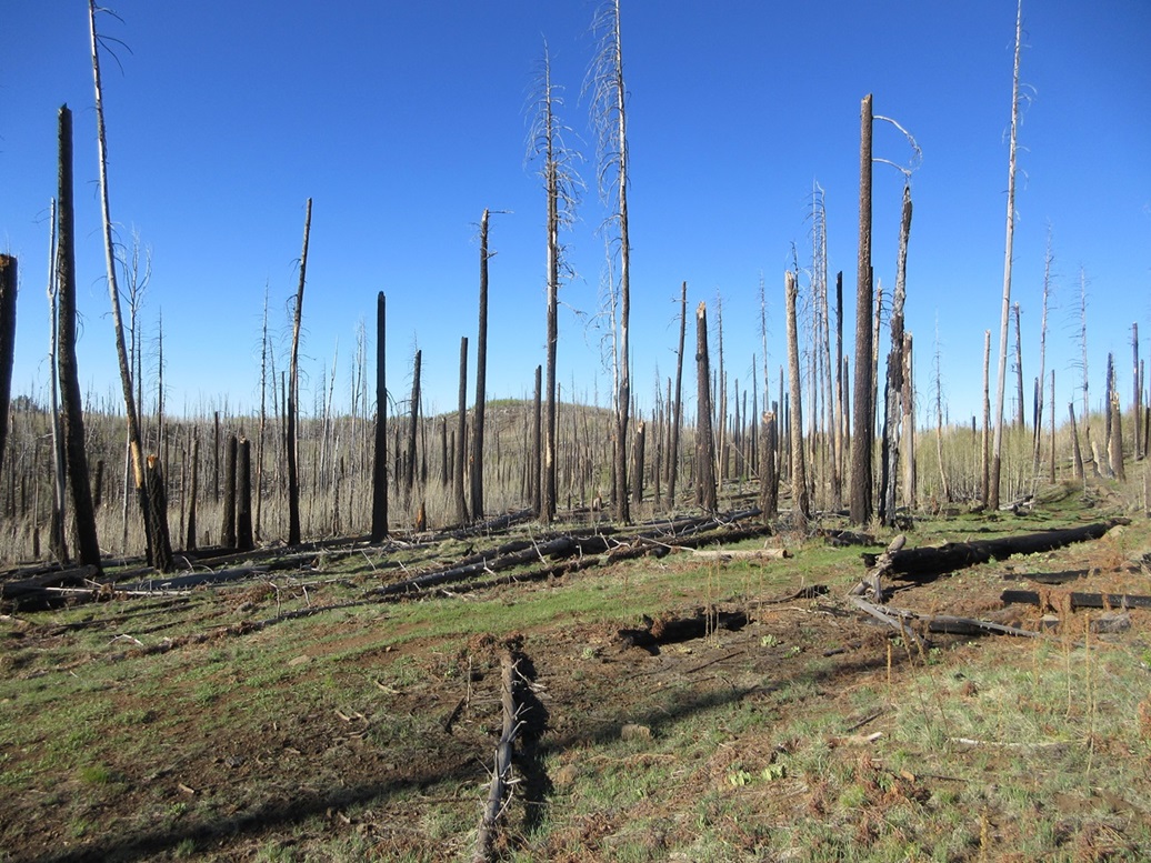
Forest Road 25 is much better maintained, being wider and graveled, with milepost signs too. The peak first appears about milepost 3 in the distance, then milepost 4 closer in. It looked like the same situation as on Peak 9132 — lots of thick branchy trees resulting from the fires.
I decided to drive all the way around the peak, inspecting its lines for a way up. I drove past milepost 5 and saw nothing promising from that side. I returned back and parked alongside the road at about virtual milepost 4.3, below a slope that looked mostly devoid of that doghair crud.
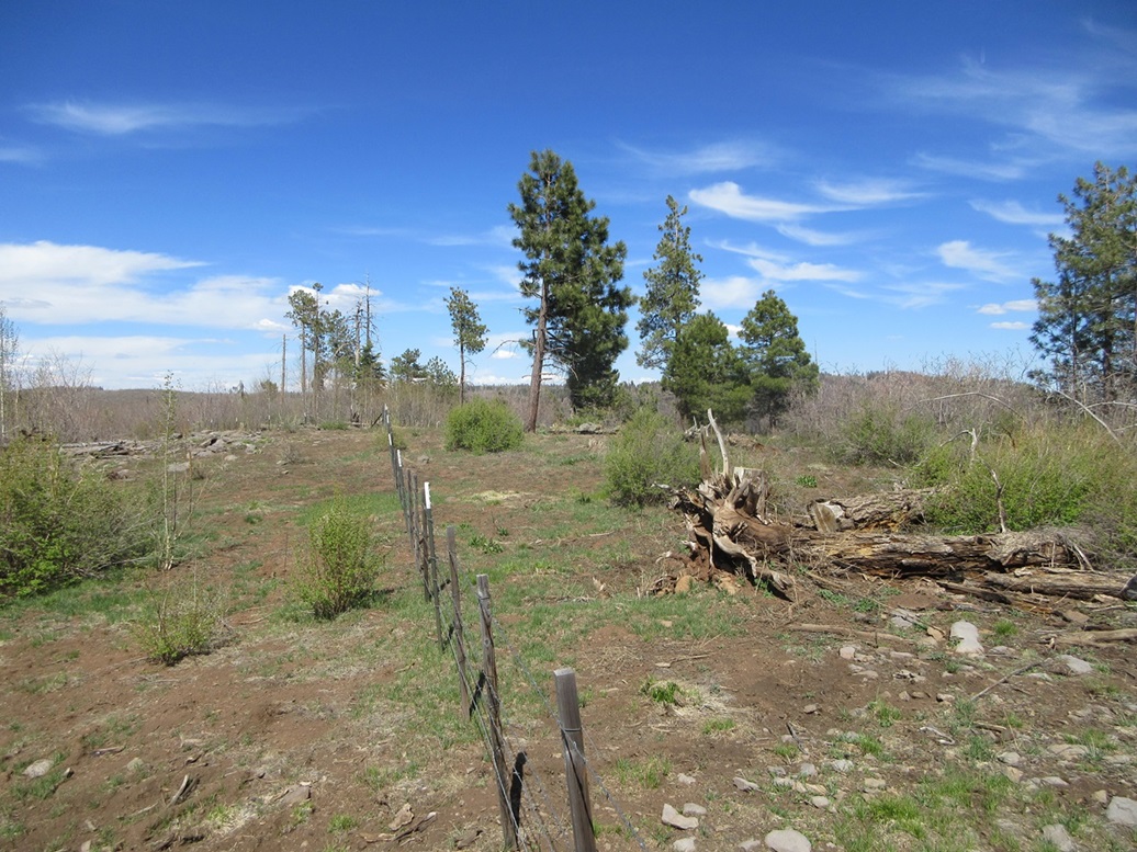
It was almost 4 p.m. now, still very pleasant, sunny and temperature about 65 degrees. I marched up the grassy slopes directly to the top. Just the last fifty feet was amid the branchy stuff, but it wasn't bad, and there was minimal thorns to deal with. It was just a ten minute hike to get to the top, a gain of 200 feet.
I found the register just sitting there in the open. There was no obvious cairn, so I built one against a standing dead tree slightly off to the side. I also walked the area to be sure there weren't any hidden rocks to tag. I did not stay long, and hiked out, the round trip taking less than a half hour. It was about 4:15 p.m. now, and yes, I was done for the day.
Today had gone well, with five peaks now to my credit, a very efficient afternoon. I estimate my total hiking mileage to be about 3.5 miles with a total of just over a thousand feet of gain. I barely broke a sweat all afternoon.
I drove a little more north and pulled into the Hannagan Campground just south of the Hannagan Meadow Lodge. Aside from the camp host, I was the only guest. We chatted for about ten minutes. The campground has just opened, and being the weekend before Memorial Day, hasn't been too busy. I walked to the Hannagan Meadow Lodge. No one was in but the doors were open. A motorcyclist was out front and we talked a little too.
That night I slept on my cot in the open. It was a mostly gibbous waxing moon that lit up everything until about 3 a.m. when it set, then for a couple hours, I could see all the stars. I slept well, but awoke at any noise. It got cold, into the 30s overnight, but I was comfortable.
The name of this peak is taken from Bob Martin's Mountains of Arizona book. This peak rises next door to a slightly lower hill on which sits the Reno Lookout, hence this peak's official unofficial name.
The next morning, I was up early, and on to the task of tagging more peaks.
Date: May 19, 2024
• Elevation: 9,391 feet ✳
• Prominence: 333 feet ✳
• Distance: 3.3 miles
• Time: 1 hour
• Gain: 350 feet
• Conditions: Sunny, cool
PB
•
LoJ
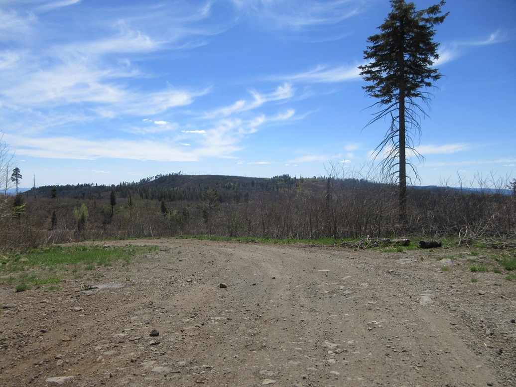
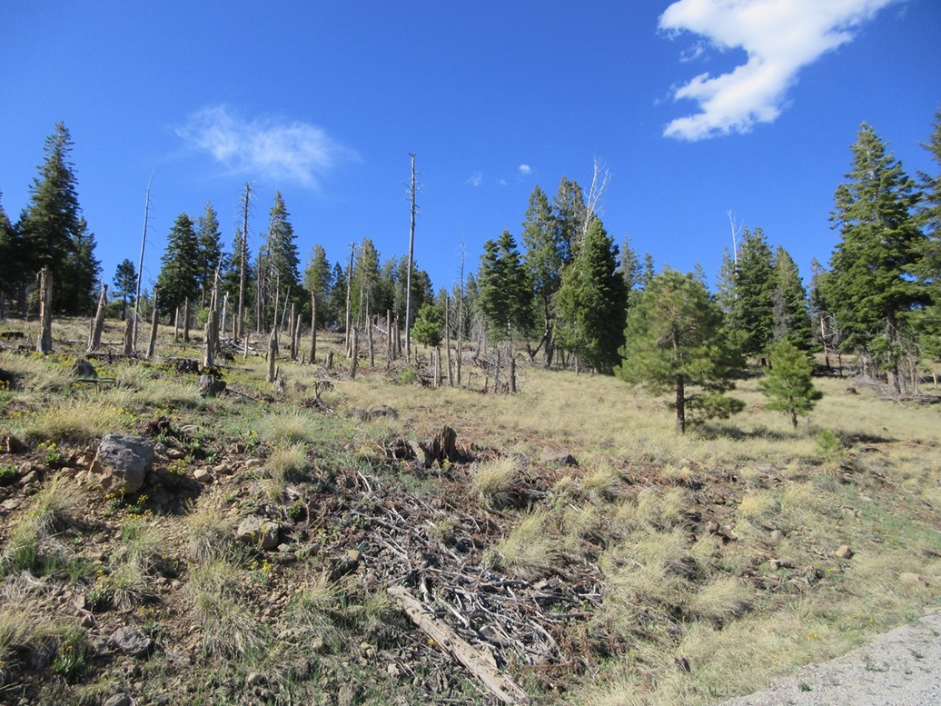
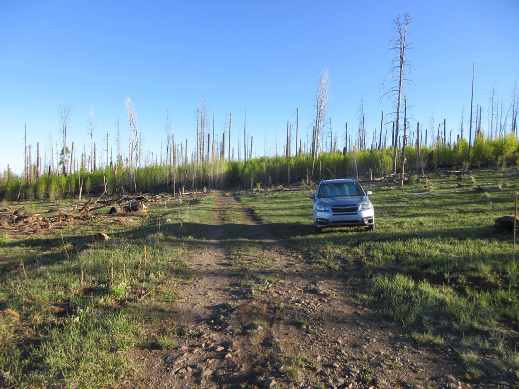
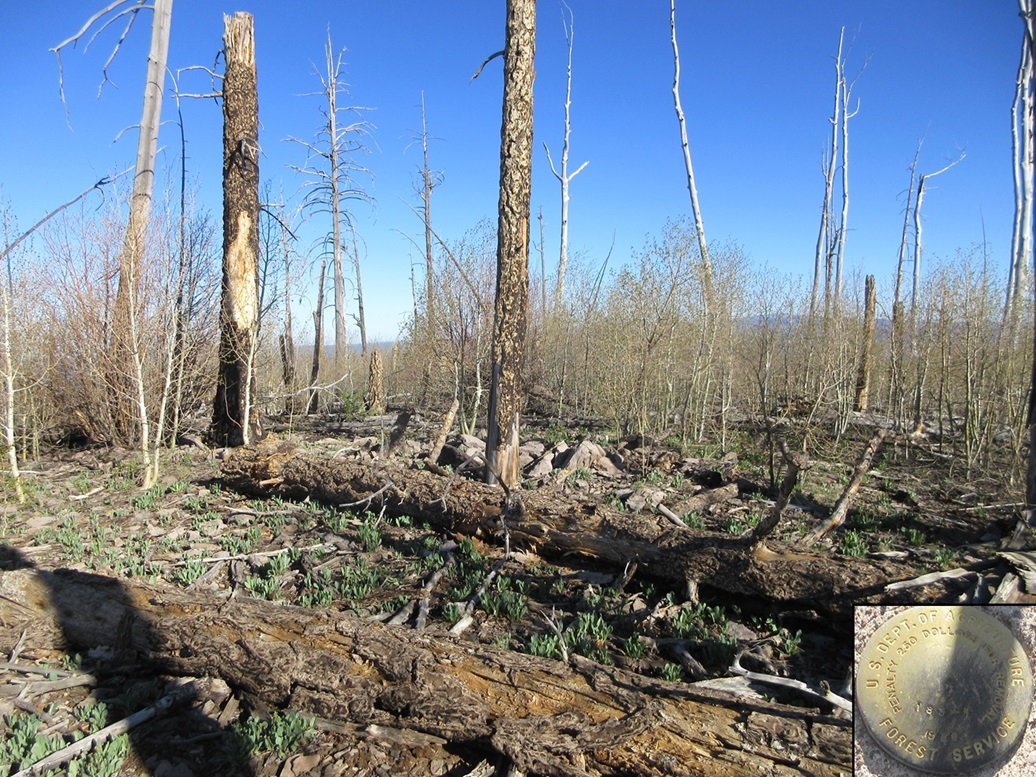
The turn-off to the next peak, Forest Road 576, is immediately north of Hannagan Meadow Lodge. It is also a graveled road. I went in about three miles, inspecting the peak as I drove the last little bit. It was also hammered by the fires and covered in dead trees and the thick woody stuff. I wasn't enthusiastic about this peak and would bail if I was forced to plow through the crud.
I found a track not shown on the map but clearly seen in the satellite images. This track angles northwest, then bends a couple times and trends north, passing near the presumptive summit, marked with a spot elevation of 9,391 feet on the map.
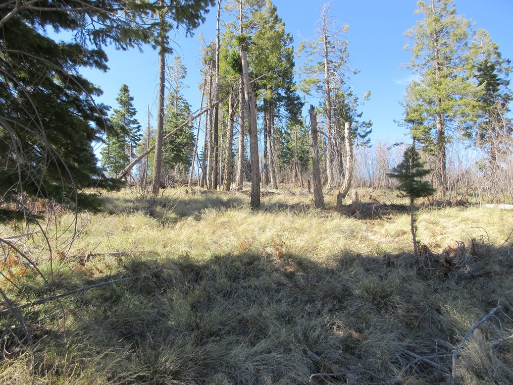
The road was open and easy to walk, pitched at a lenient grade. It came near then bypassed a distinct hill, a contender for the highest point, which I would visit as I exited. I stayed on the road until I was south of the 9,391-foot summit, then went off-trail to the top. The thick undergrowth wasn't a problem here, but the dead standing trees and the many dead ones lying on their side was a challenge. It's difficult to move quickly over heaps of logs and branches. In about ten minutes after leaving the road, I was on top, probably. I found a cairn and register and signed myself in. This was good enough for me. Walking around and inspecting the area, it felt highest.
On the hike out, I exited the road again and pushed my way up about sixty feet of easy slope in immature aspen to the top of the southern hill, the one I mentioned earlier. It was wooded, and I even found a benchmark in a frustum, which was unexpected. Both summits are wooded and it is impossible to sight between them.
I got myself back on the track and hiked out, finding a nifty file just laying on the ground. It's a beefy quality one, the ones a contractor would use. It's mine now. Will I ever need a file? You never know, but now I have one just in case.
I was back to my car after about an hour total on the hike. Studying the 1-meter lidar later, the northern presumed highest point has a spot elevation of 9,398 feet, and the southern one with the benchmark came in at 9,396 feet. The overall prominence came out to be 333 feet.
Back on the highway, I drove north about fifteen miles, to begin picking off peaks closer to Alpine.
|


|