The Mountains of Arizona
www.surgent.net |
|
Mitchell Peak • Rose Peak We planned a weekend camping trip in the mountains of Greenlee County, an area we last visited in 2007. We would drive the scenic Coronado Highway (US-191) north from Clifton to the town of Alpine, a distance of about 90 miles. Along the way, I would hike a couple peaks: Mitchell Peak and Rose Peak, each near the highway. We left home at 3 p.m. on Friday and drove east through Globe and Safford, stopped for 30 minutes along the way at a construction site on the San Carlos Nation. We got groceries in Safford, but these delays assured us we'd be arriving into Clifton after dark, which we did. Not wanting to find a camping spot in the dark, we stayed at the Rode Inn, the only hotel in town. We stayed here in 2007, too. They put us in a room with a bad roach problem and a very strong chemical smell to it. We got a different room on that visit, and we vowed never to return. But we did. We figured we couldn't be that unlucky twice in a row, and maybe six years meant that they'd cleaned the place a little. Wouldn't you know, they put us in that very same roach/chemical room. We bitched to the owners and got a different room. Nothing had changed. We survived, and super-vowed never to return, which we haven't. And I recommend the same to you.
Date: May 18, 2013
• Elevation: 7,951 feet
• Prominence: 1,831 feet
• Distance: 2 miles
• Time: 2 hours, 20 minutes
• Gain: 750 feet
• Conditions: Calm, blue skies, not too bad
Arizona
•
Main
•
AZ P1K
•
PB
•
LoJ
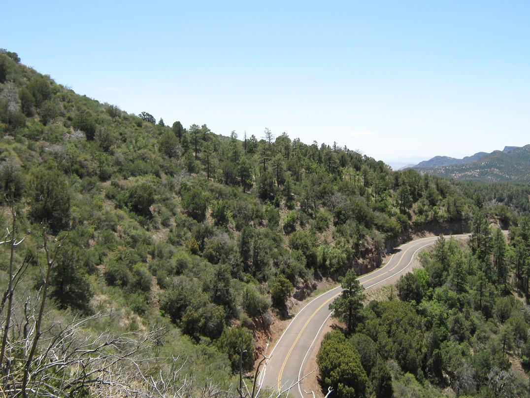
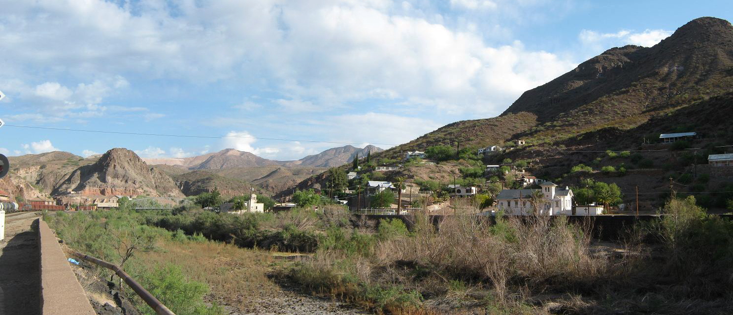
The next day, we drove north on the Coronado Highway. This is one of the most scenic drives in the state. Above Clifton is the company town of Morenci, and above that, and for many miles, the open pit mines. Once past the mines, the remaining 80 miles weaves up steep mountain grades with tight turns and no guardrails. Speed limits are often 25 m.p.h. for long stretches. Most people won't be brave enough to go even that fast. Not surprisingly, traffic thins to almost no one past the mines, the main travelers being people who deliberately are there for the scenic drive. For example, motorcyclists outnumbered vehicles by about 2 to 1. If I had a motorcycle, I would come here, too.
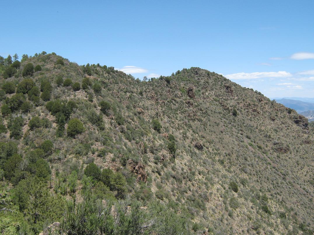
Past Morenci, the terrain returns to its natural state, hilly and mountainous, covered in a mix of desert scrub and mid-elevation trees such as cypress and oak, some juniper, but still too low for the big pines. The lack of guardrails can make some turns unnerving. I kept the truck in second gear and we crept forward at 10 to 20 miles per hour. Twenty miles later, we parked at a picnic area called H L Saddle (about a mile north of Sardine Saddle, between mileposts 182 and 183). Mitchell Peak lies east of the highway, its summit about a mile away. In the twenty miles we drove from Morenci, we were passed once by a group of motorcyclists. We never passed anyone, and never saw anyone coming southbound.
I parked the truck in a shady spot of the picnic area, set up a camp chair for βð, and got myself situated. It was nearly noon when I started the hike, and I told her I'd be gone 90 minutes. It looked to be a straightforward hike given its short distance and small elevation gain. However, as I would discover, the brush on this peak was brutal.
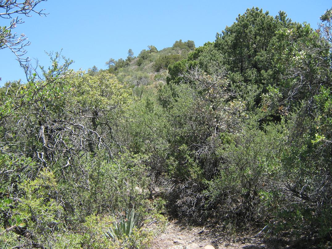
I walked across the highway and walked up a dirt road a few hundred feet to a corral. Here, a foot-path went right, past a wire-stick gate, and I followed this level path southbound. At some point I needed to get up the slope to the ridge, but finding a good place to do this was not easy. At the south end of this path, closer to Sardine Saddle, I decided to go for it. The 200-foot vertical climb was brushy. I hoped that the ridge itself would be less brushy.
On the ridge, I angled right and then descended to a fence, crossing underneath it and then following the ridge as it bent east toward the summit. However, between me and the top were about four false summits. And the brush looked thick, so I knew I was in for some work. I got up the first false summit with no problem. I had no grand plan, and always took the path of least resistance. It made sense to stay high, where the brush was thicker, to have better line-of-sight views.
I repeated this process for the next hilltop, but encountered unbelievably thick brush. Once there, I could see more hilltops, including what I thought to be the real summit. But I was moving slowly through the brush. As I inched down and up the intervening saddles, I grew a brain and eased left, dropping about 50 feet below the ridge. Here, the brush wasn't as thick, and I found a scant trail. I followed this and quickly arrived on top. Wish I knew about this trail earlier.
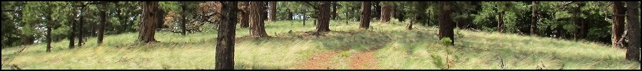
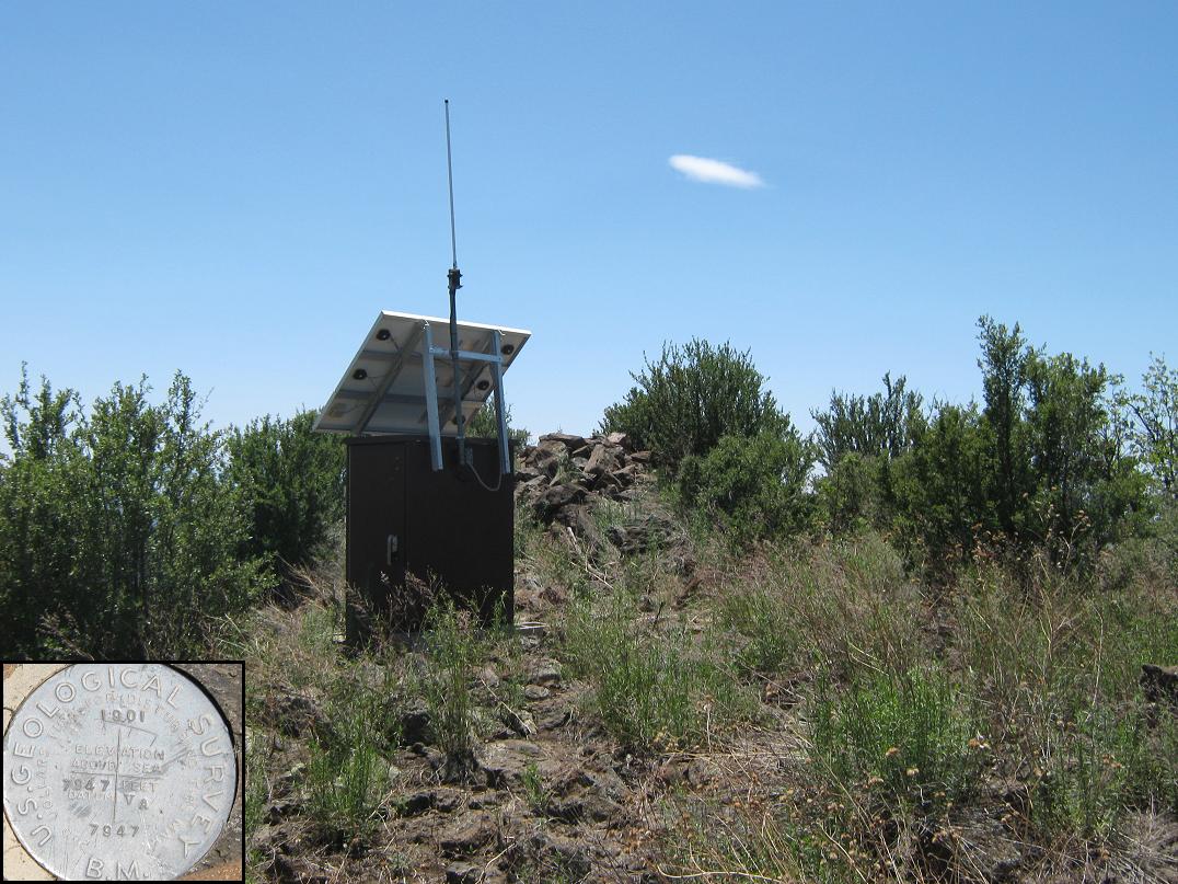
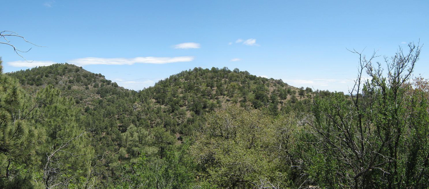
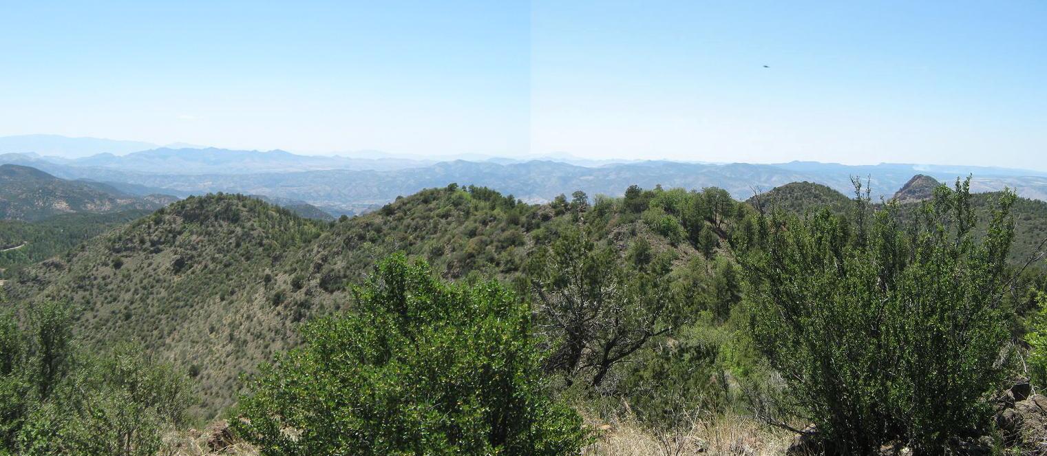
The top was brushy and rocky and not that interesting. I found the benchmark in the rocks near a small solar apparatus, its function unclear to me. More alarming to me was that I had spent an hour and 15 minutes on the ascent. Since I had promised βð 90 minutes round trip, I knew I was going to run late. I felt bad about worrying her. The views up top were nice, including one of an active fire west on the highlands of the San Carlos Nation. The plume of smoke is visible in the panorama shot below.
I didn't stay on the summit long, and started back down quickly. I walked the trail down and was happy to follow it, bypassing a lot of that ugly brush up high. However, after about 10 minutes I sensed it wasn't going where I wanted it to. I think it probably dropped north into a drainage, where (per the map), a forest road cuts east-west and possibly connects back to that corral I was at earlier. But I didn't want to gamble on that theory, and decided to go with what I knew "worked", brush and all.
The hike out was more of the same thick brush, and some sidehilling. I was moving fast trying to make up time, and I stumbled in a few spots. I probably should have slowed down. In any case, I got back to that fenceline, and followed it across the backside of the ridge (opposite the highway) and back down to the corral. Once back at the corral, I walked back to the truck. I had been gone 2 hours, 20 minutes.
Yes, βð was slightly worried. She assumed correctly that the brush was thicker than I had expected. I felt bad for worrying her, but was glad to be back out. I sat for a spell to relax and enjoy the quietness. The day was lovely, clear blue skies with a moderate breeze.
Mitchell Peak was a rough hike, but not difficult other than the brush. Had I been by myself, I might have taken it slower and not felt so compelled to move quickly. The trail apparently does connect to the road down in H L Canyon, and the hike is simpler than what I experienced. Hey, I am not complaining. I am happy I was successful and safe.
Elevation: 8,786 feet
• Prominence: 1,626 feet
• Distance: 1.75 miles
• Time: 45 minutes
• Gain: 545 feet
• Conditions: Clear but windy
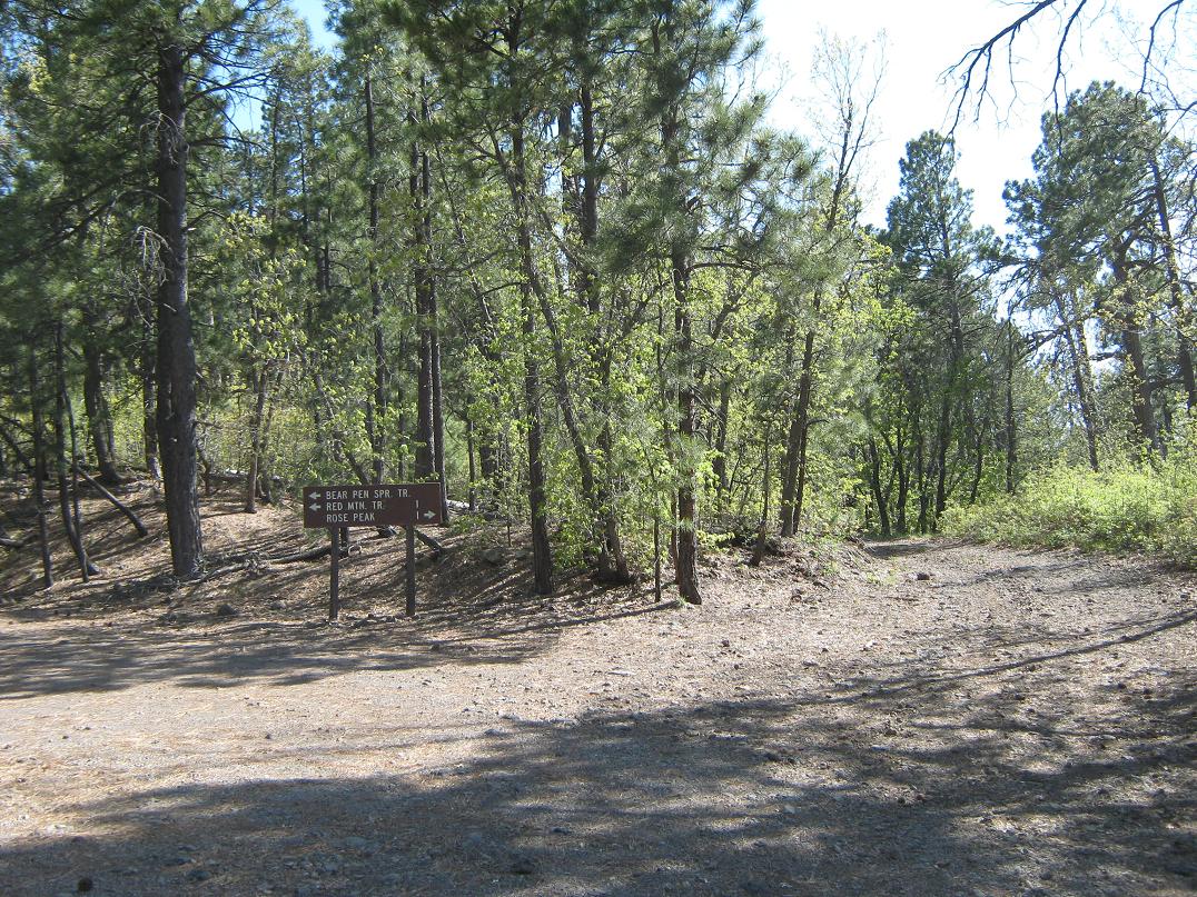
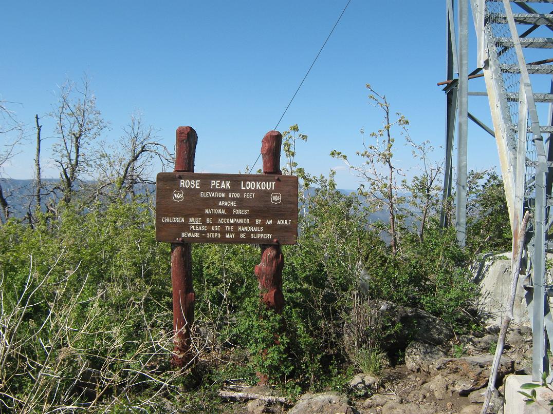
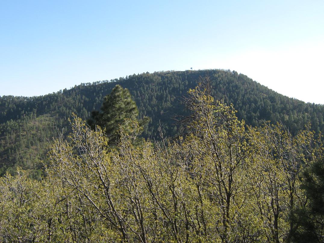
Rose Peak is an easy hike with a good trail that leads to an active lookout tower. The peak lies along the Coronado Trail (highway US-191) in Greenlee County, about 45 miles north of Clifton and 20 miles south of Hannagan Meadow. The highway gets high on the shoulder of the peak, so that the hike is just a mile each way and about 550 vertical feet.
We arrived to the pull-off for Rose Peak around 3:20 p.m. No one else was parked and we stopped at a picnic area. I got out to read the signs and look around. I didn't pack much for this hike: just a water bottle, my walking stick, and my camera. Beat and scratched from my battle with Mitchell Peak, I was looking forward to an easy hike up trail, something that wouldn't take long. At 3:35, I started the hike.
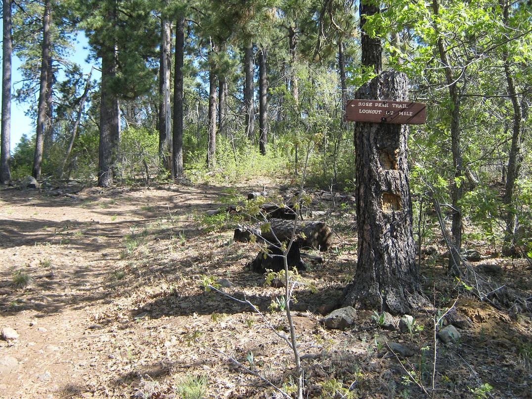
I walked the access road a tiny ways then angled left onto the signed trail. The trail is a pleasure, pitched nicely amid ponderosa pine, the slopes covered in the soft mat of needles and low grass. The trail switchbacks once hard-left, then again hard-right, and soon, passes a ridge, now on the south-facing slopes with million-dollar views down into the lowlands near Four Bar Mesa. The lookout tower was now in view, the slopes here being more open with scrubbier plants.
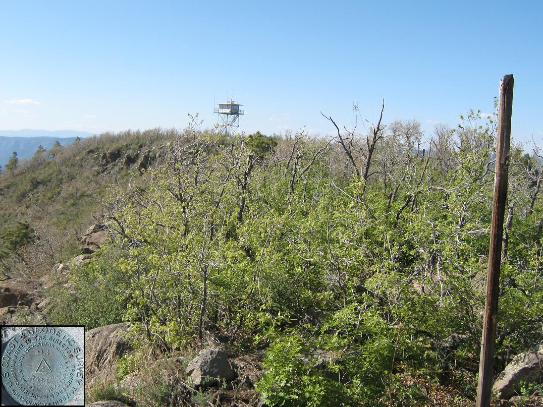
Quickly, I had surmounted the rim and was now hiking past the lookout's residence toward the tower. I did not climb the tower, nor did I see anyone milling around. I tagged some rocks near the tower, anything that looked like a highpoint contender. The views in all directions were stunning. Looking east, the summit ridge seemed to rise gently to another bump, so I figured I better go inspect.
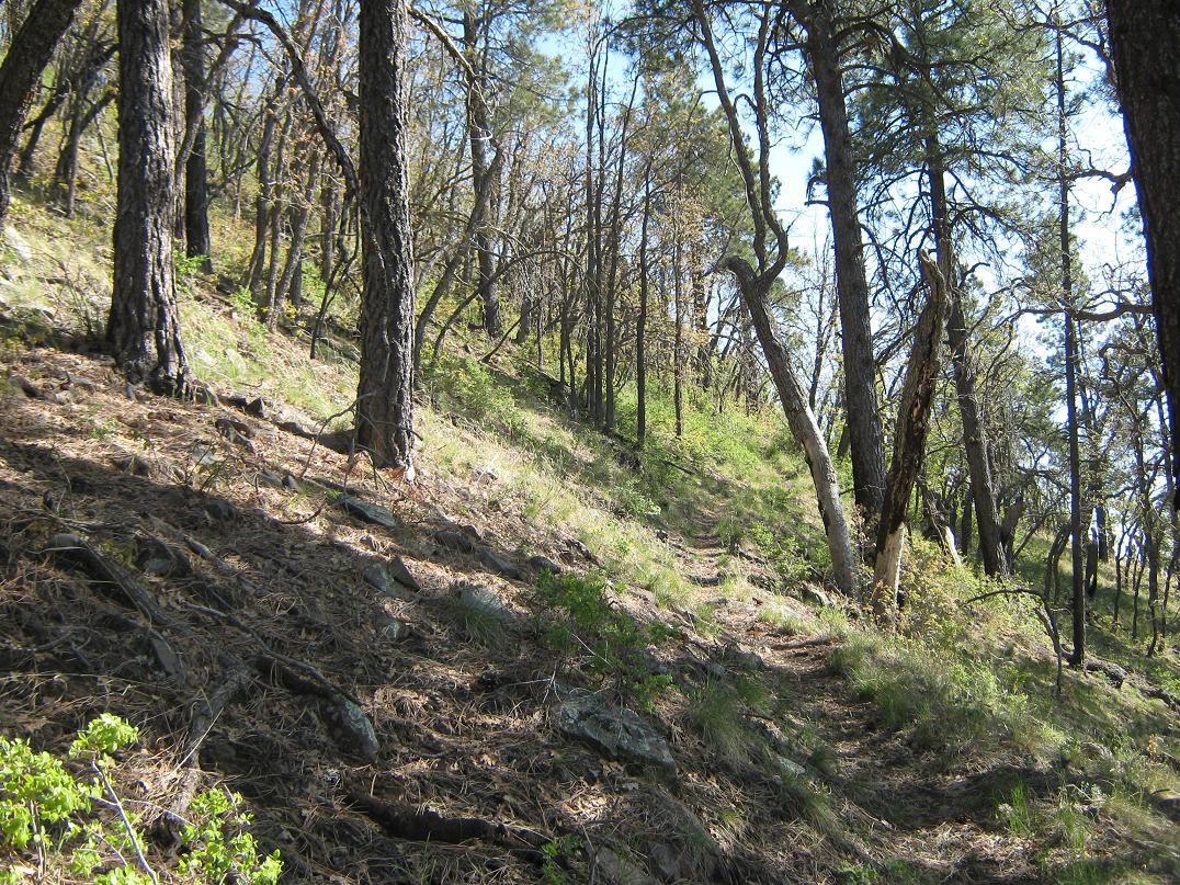
I followed paths through low brush and rock to get to the eastern bump, where I found the benchmark. Sighting back toward the tower, I sense the tower is located on slightly higher ground. The map cites a 10-foot differential between the two bumps, but the brush makes it hard for good direct sighting to be sure. Nevertheless, the walk took just a few minutes, and provided more opportunities for photographs.
The breeze was strong so I didn't linger. The hike down went quickly and I was back to the truck after just 45 minutes. The signs indicate either one mile to the top via the road, or a half mile via the trail. Both seem off, so I cut the difference, figuring three-fourths of a mile each way, which seems about right to me.
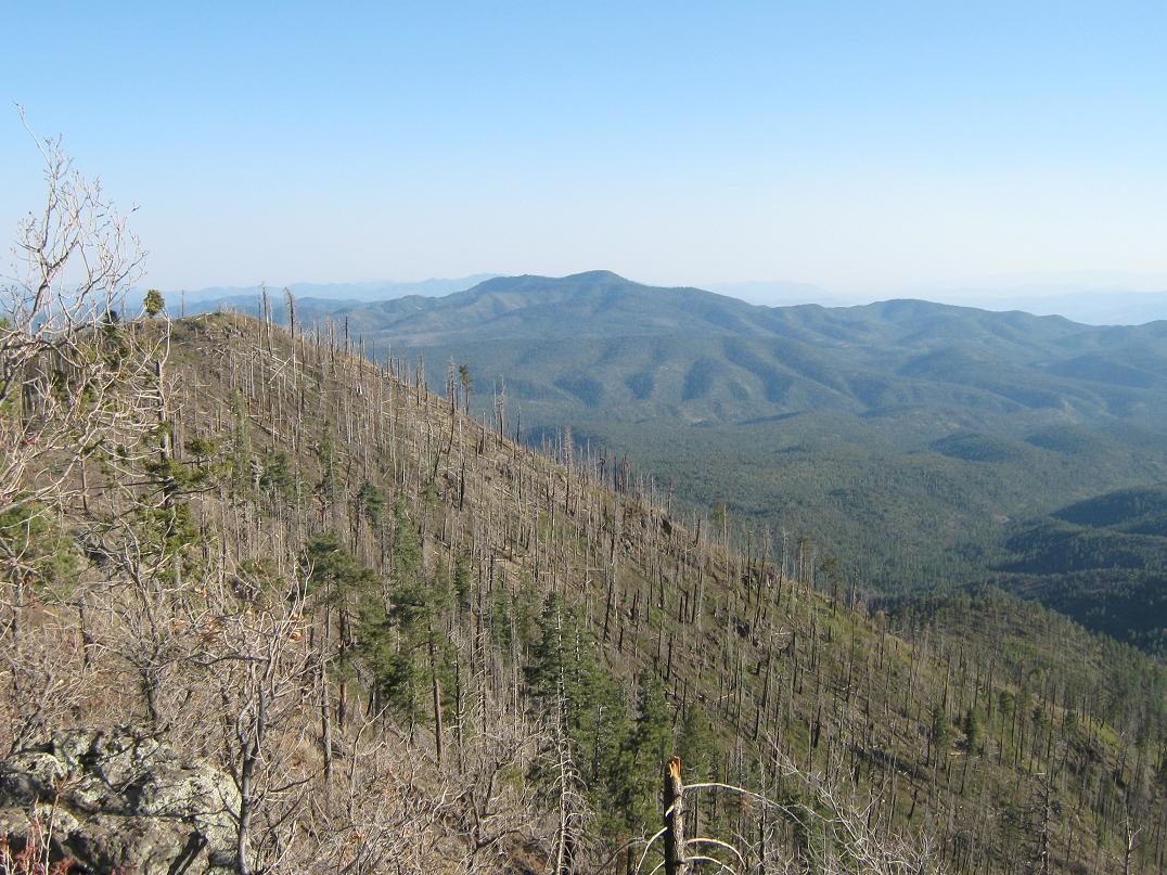
We got moving again, driving up to the top of the Mogollon Rim. We stopped briefly at the Blue Vista for photographs. The wind was strong and chilly up this high. Immediately, the devastation wrought by the 2011 Wallow Fire was evident everywhere, and we would see this damage for long stretches along the highway.
We drove another five miles and camped at the Hannagan Campground about a half-mile south of the Hannagan Meadow Lodge. We were the only ones there that night. Being at about 9,200 feet elevation, the night was quite cold, dipping nto the 30s, but we both slept well. The next day, we started the drive out early, going home via Springerville, Show Low and Payson.
|


|