
The Mountains of Arizona
www.surgent.net |
|
Asop Benchmark • Howard Mesa Today was the second full day (and third day overall) of my weekend trip to Flagstaff. Yesterday, I had climbed three volcanic mounds northwest of Flagstaff, up by the CO Bar Ranch. Today, I would be concentrating on a pair of peaks north of Williams, along highway AZ-64. Matthias texted me last night that he was looking at coming up for the day. I mentioned my plans and he was interested. In particular, he was interested in Howard Mesa, one of the two peaks on my agenda. He had not yet climbed it either. So we agreed to tackle it together. I would meet him at 7 a.m. alongside the highway near the mesa.
Date: June 6, 2026
• Elevation: 6,474 feet ✳
• Prominence: 300 feet
• Distance: 0.9 mile
• Time: 30 minutes
• Gain: 305 feet
• Conditions: Sunny and pleasant
Arizona
•
Main
•
PB
•
LoJ
•
USGS BM Datasheet
•
Interactive map
I was out the door about 5:15 a.m., in into Williams about 45 minutes later. I went north on highway AZ-64 and found myself at the agreed-upon meeting place near Howard Mesa about 6:15 a.m.. He texted me he was still about 40 miles out.
Rather than wait here, I texted that I would go north a few miles and visit Asop Benchmark Hill. I had originally planned this little bump for after Howard Mesa.
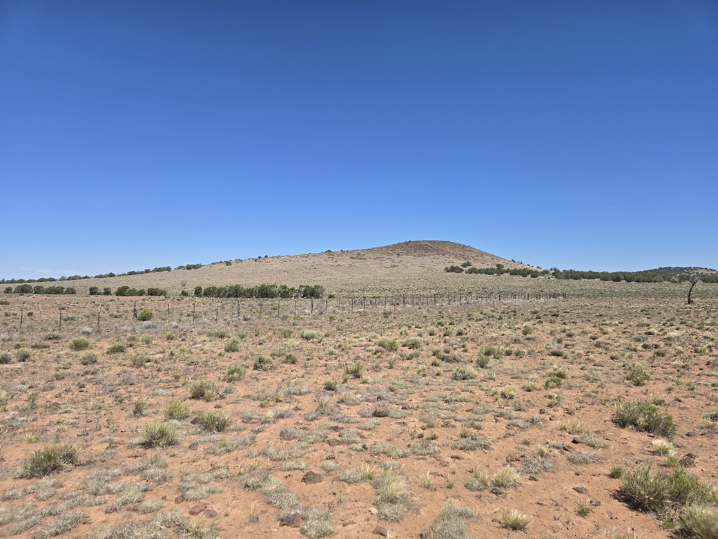
The drive there took just 5 minutes. The little hill rises by itself above the plains. It is essentially the last hill before the bigger Red Butte up by the Grand Canyon.
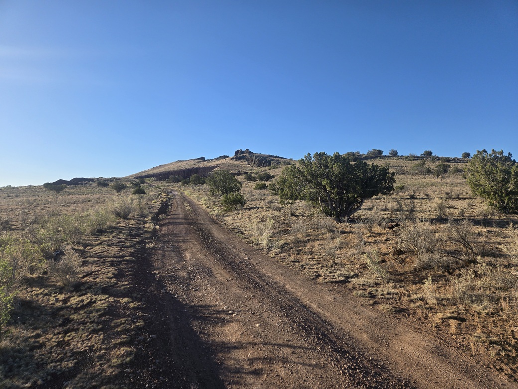
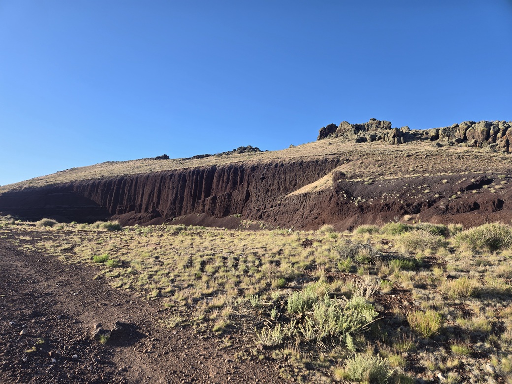
I went in on the only road that led to the hill. I drove in under a mile and parked. It was 6:25 a.m. now, sunny and pleasant. The hill was once an old cinder mine, so its northern half is essentially scraped away.
I followed the track as far as it would go, past the old mining area, now used these days by the shooters. As expected, there was an old washing machine propped up as a target. Washing machines seem to be present at every shooting range I've been to. Grills are popular too.
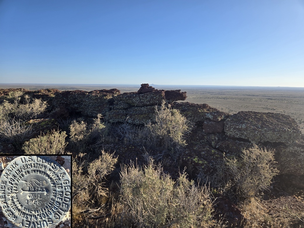
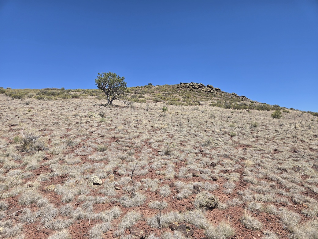
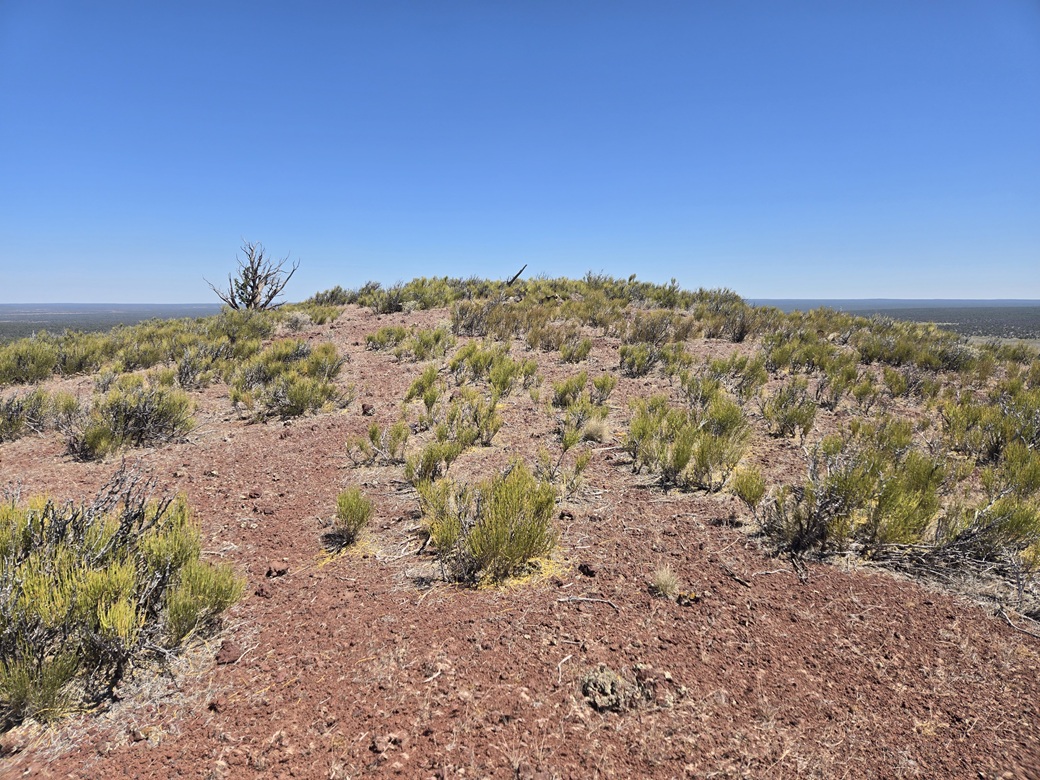
Past the mined area, I started up slope, which leaned back nicely and was just low grass and some easy rocks to clamber over. Toward the top, I came to a line of big rocks, welded agglutinate, requiring me to find a spot to climb through this easy barrier.
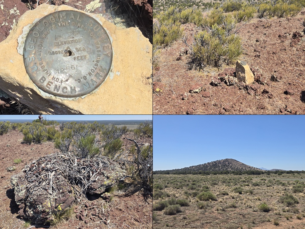
The highpoint was then just an easy walk up a slope to the east. I found a cairn atop the high rocks and signed into the register. I could not find the actual Asop Benchmark, but I did locate one of its reference marks. Good enough for me.
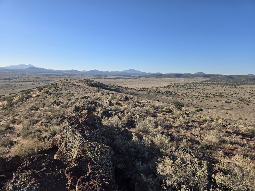
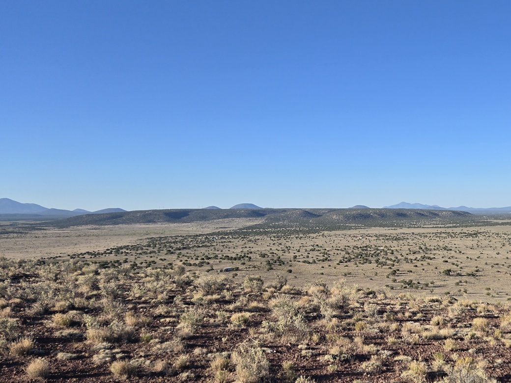
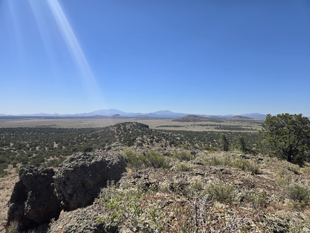
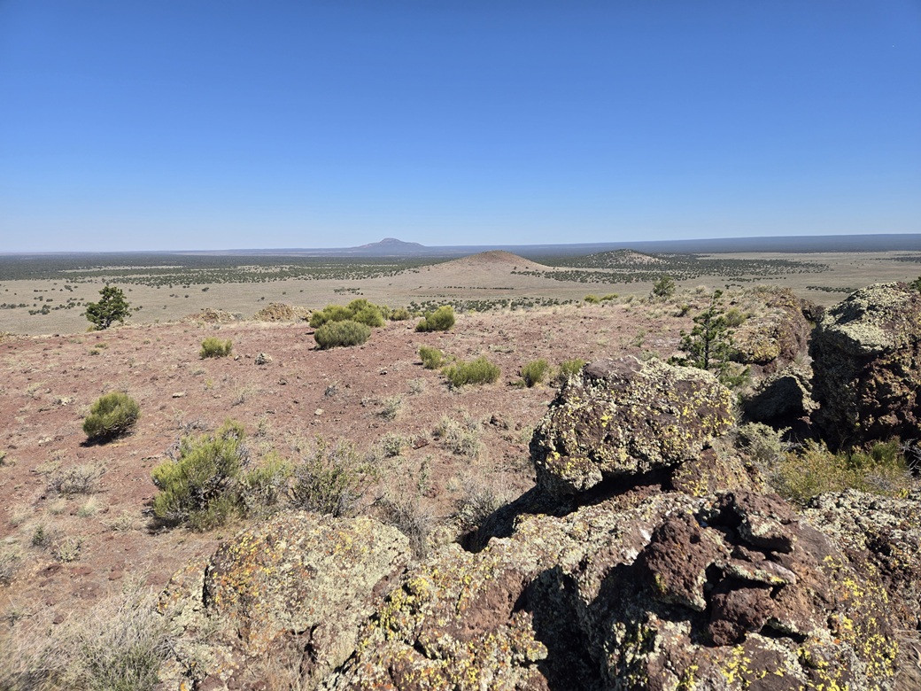
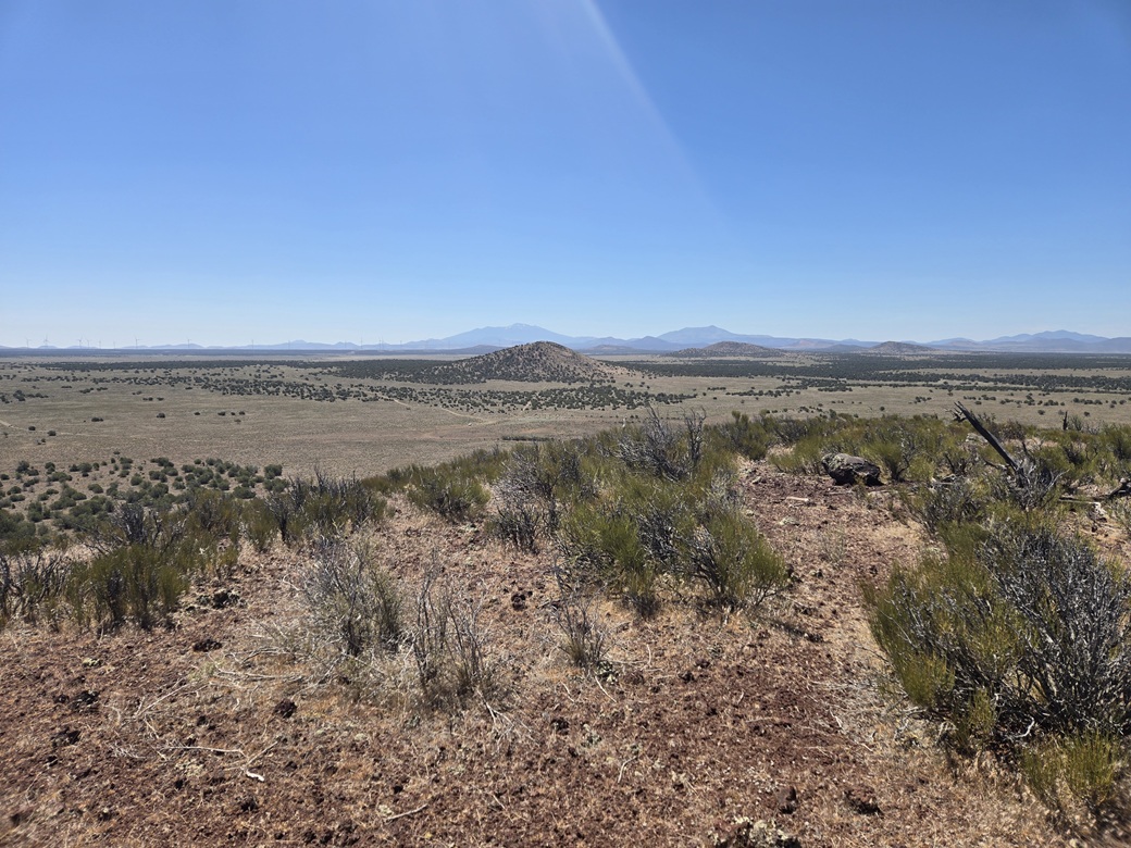
The one way hike took just ten minutes, plus another five or so wandering the top. Views were good, with the sun still very low in the east. In one directions, dozens of volcanic mounds and large mountains, and in another direction, low-relief plains.
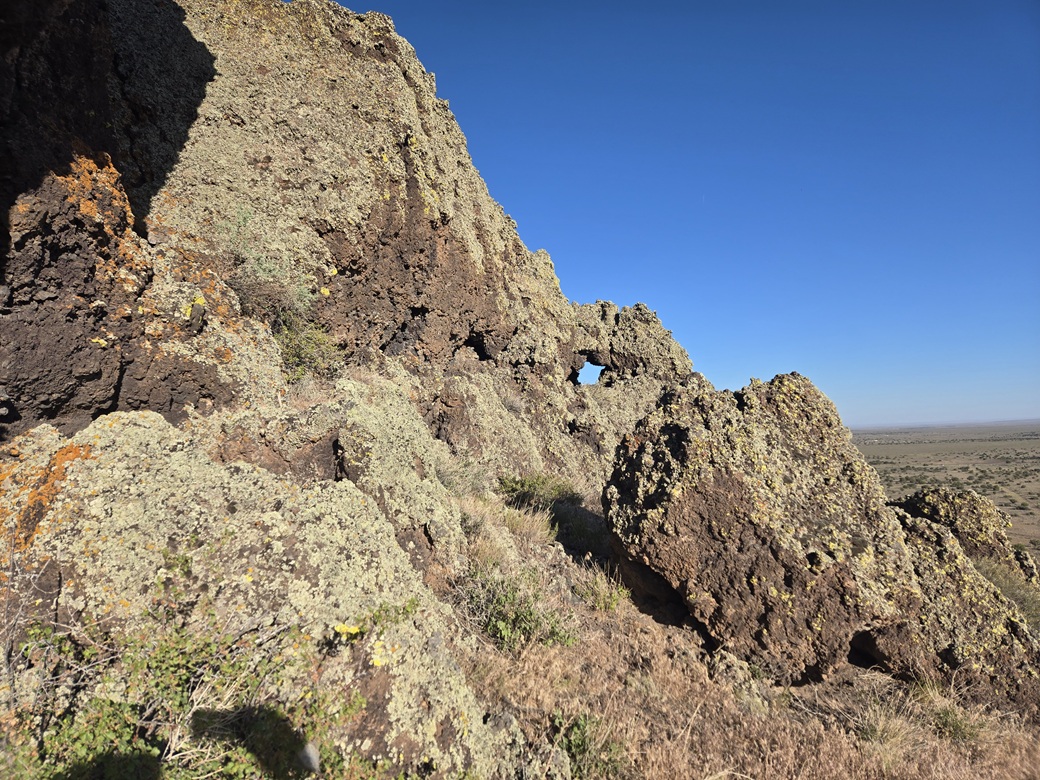
For the hike down, I stayed on the ridge and followed it past a couple interesting rock formations, including one with a natural hole (arch?) in it. It is not visible from below, and only visible approaching it from the east and staying low on the ridge. I'll bet other have walked right by it and missed it altogether.
I was back to my car about 6:50 a.m.. I piled in and drove back down to meet Matthias for our Howard Mesa date. It was a little past 7 a.m. so my timing was good. He was already there. I felt pleased to knock out this little peak first. It's not much, but it counts and it would make the logistics of the day easier.
Elevation: 6,761 feet ✳
• Prominence: 370 feet
• Distance: Drive up, about 50 feet of walking
• Time: 45 minutes including the drive
• Gain: 3 feet
• Conditions: Sunny, warming up
• Partner: Matthias Stender
• Prog-rock bands played: Djam Karet, Happy The Man
PB
•
LoJ
Howard Mesa is a big flat pancake-shaped "peak". It is almost perfectly round and its flat mesa-top is about 2 miles in diameter. The highpoint is toward the east. Most of it is on a checkerboard of private and Arizona State Trust land. The very eastern portion is on the Kaibab National Forest.
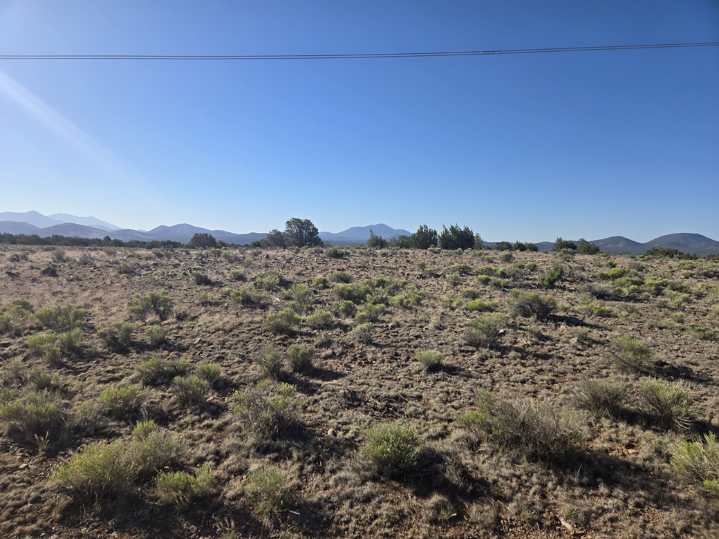
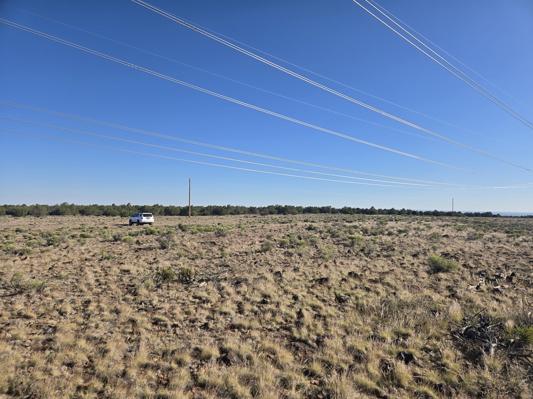
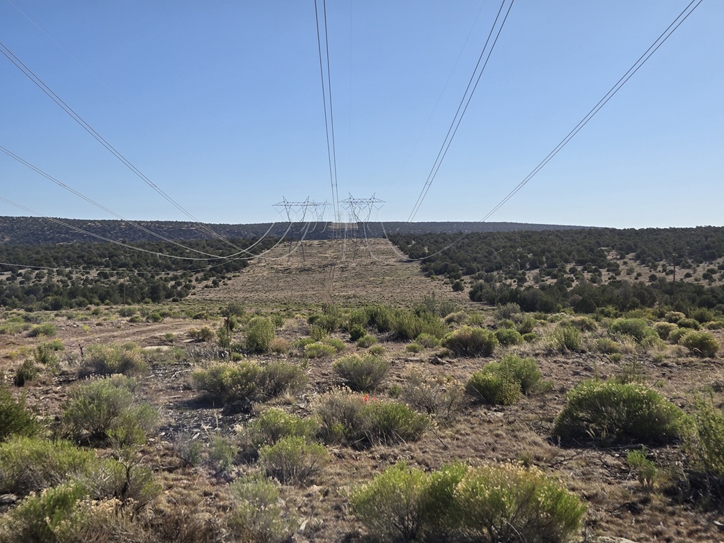
A set of power lines runs up and over the mesa, from the southwest to the northeast. A meager track runs underneath the power lines and gets close to the highpoint. I did not expect my vehicle would handle these roads, so I had planned for this to be a long road walk.
My original plan was to be here at dawn. If I could not get my car in very far, I was looking at over three miles of walking each way. Now with Matthias here, and his 4-runner, suddenly we had a viable option to knock off a bunch of miles if he could drive these roads.
We met where FR-736 leaves AZ-64. I had not seen him since last September. After some chatting, we got busy driving. I drove first and went as far as I felt comfortable, then parked. I then put my stuff in his 4-runner and we were off.
The road was rough. We had to pass two gates. There were no prohibitive signs, just small signs to keep the gates shut. We got in about a mile to the southwest base of the mesa. I think I could have got the Subaru this far.
The portion of the road that went up the mesa was steep and rough but better than expected. It looks like it gets some maintenance. Now we were on top the mesa, back under the wires. We just followed them to the highpoint area, and parked.
The hike was just some easy wandering in the area. It is flat, with the barest of slopes to sense a highpoint. We found a register within a cairn and signed in. Views weren't too good, since it was either power lines, or trees off on the edges.
We got back in the car and drove down, and back to my car. This round-trip took about a half hour. It wasn't even 8 a.m. yet!
I have no shame in claiming this peak via a vehicle. It would have been a tedious walk otherwise. Now we had a whole bunch of extra time for other peaks.
Elevation: 6,730 feet ✳
• Prominence: 302 feet
• Distance: 1.4 miles
• Time: 40 minutes
• Gain: 240 feet
• Conditions: Warm and windy
• Partner: Matthias Stender
PB
•
LoJ
Matthias had suggested some peaks on the far-north fringe of the volcanic field, the Double Knob Hills. These rise a couple miles north of the Dog Knobs, which we hiked almost four years ago.
A recent massive Lidar analysis of the state showed that the highest of these hills is a ranked peak, just barely, with 302 feet of prominence. Since we have climbed virtually every other peak in the area, we both wanted to add this one to our list. Otherwise, we'd probably just ignore it.
We drove separately, north on AZ-64 to Valle, then southeast on US-180 about fifteen miles to Kaibab FR-361, which is north of Ebert Mountain. I drove in ahead, and got in a few miles before parking, partially hiding my car in the low trees. We were on the CO Bar Ranch and my ranch pass was still valid. I stuck it in the window, put my stuff in Matthias' car, and he drove us from here.
The roads from here are a little rough, just enough to where I'd be pushing my luck in the Subaru. In Matthias' 4-runner, he had no problems. We drove past the Dog Knob hills, then a couple more miles toward an obvious hill in the near distance, the Double Knob Hills Highpoint.
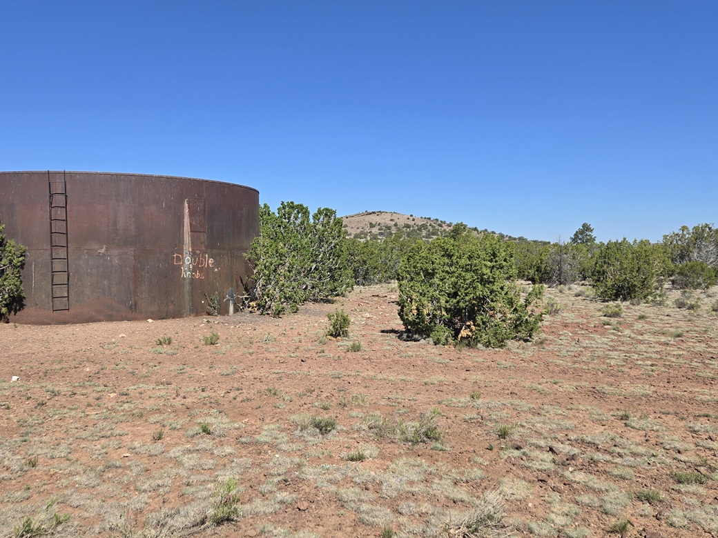
We parked near a water tank southeast of the summit. Someone had painted "Double Knobs" onto the water tank, which was thoughtful of them. The area here was mostly piñon and juniper.
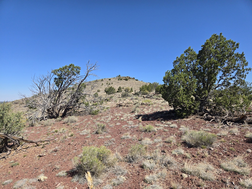
We started walking on a direct bearing toward the peak, angling left to catch the ridge to its south. The ground was rocky and grassy, but easy to travel along. On the ridge, we just marched uphill to the top. The one-way hike took 18 minutes.
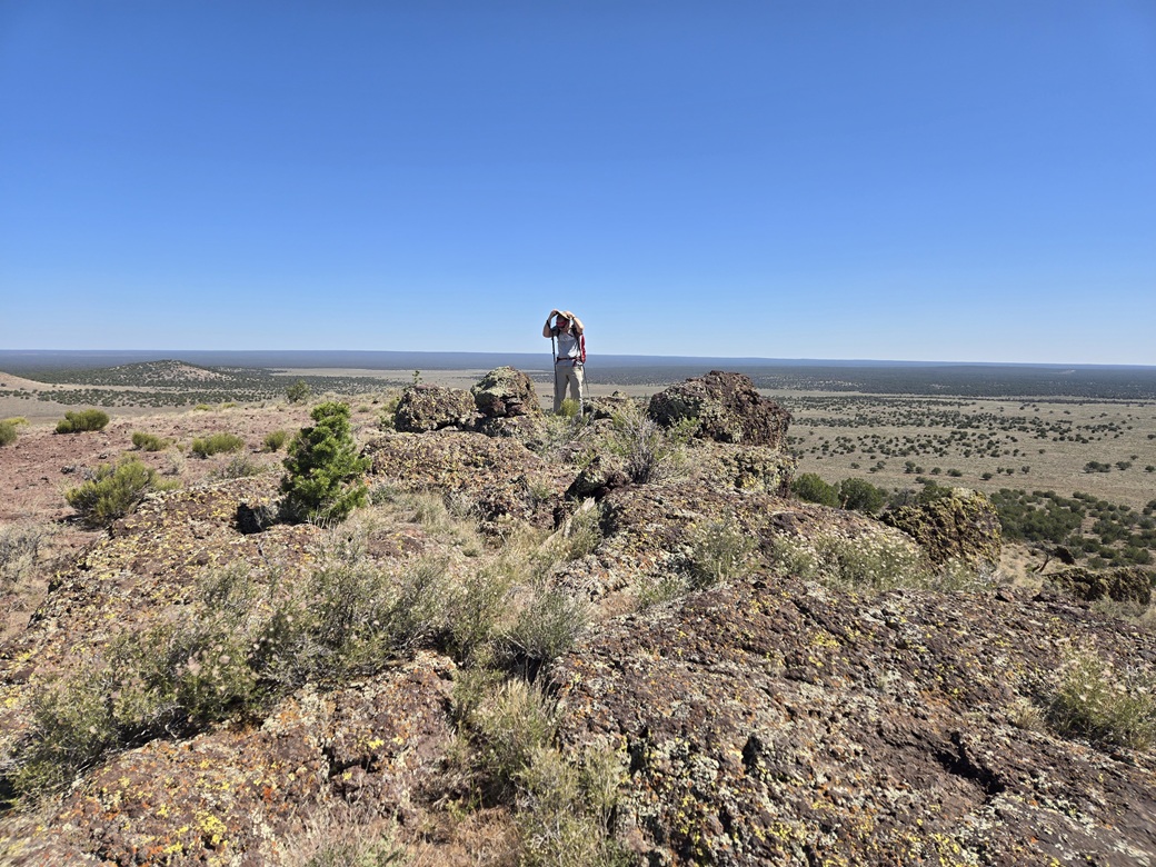
The top is rocky, with one large boulder being the highest. We found a register within a cairn nearby and signed in. We sat for a rest, but it was very windy and not very comfortable. After a few minutes, we got moving, retracing our general route back to the car. We had been gone just under 45 minutes.
While not a very interesting peak, the whole area is pretty in a general way. It feels very remote up here.
Elevation: 6,668 feet ✳
• Prominence: 255 feet
• Distance: 1 mile
• Time: 40 minutes
• Gain: 255 feet
• Conditions: Extremely windy
• Partner: Matthias Stender
LoJ
•
USGS BM Datasheet
The north Double Knob hill has a benchmark atop it, and while not a ranked peak, we were both interested in it. It was close by and looked easy to get to.
From where we had parked, we got back on the main road, then followed a side road toward a fenced-in earthen tank, perhaps a mile of driving. Bare Benchamrk Hill rises immediately to the north and west.
We walked across open grassy slope and caught the south ridge, which we followed to the top. This did not take long, about 15 minutes. The top is open with low woody brush and a couple of rocks.
The benchmark is affixed to a small rock, "brought in from another hill", according to the USGS Benchmark page. This made no sense since there were some better "native" rocks already here on this hill. I feel sorry for the poor sap who had to carry this rock up. Probably the new guy.
Matthias had a jar and register so we set one up. I built a small cairn near the benchmark rock. We did not stay long up top. The wind was picking up, gusting in the 30-40 mile-per-hour range, sometimes sustained for many seconds at a time.
The walk back went fast, this hike also taking less than 45 minutes. It was still just mid-morning. Matthias drove us back south, where I got my car. I was done for the day, with 4 peaks to my credit. Matthias had some peaks he wanted to do, ones I had already done. We convoyed out to the highway, where we said our goodbyes and went our separate ways.
I was deeply grateful that Matthias suddenly wanted to come up for these peaks. His vehicle made the difference on Howard Mesa and the Double Knob Hills. This left me with most of the day open. I was still a long way from Flagstaff, so I took the drive leisurely, in no hurry. I was back to my hotel a little after noon. I was surprisingly tired, so I took an hour-long nap.
Tomorrow, I would drive all the way back to Bisbee, but would visit one more peak on the way, Cinder Mountain.
For quad followers, I completed three quads (U.S.G.S. 7.5-minute topographical map quadrangles). Asop Benchmark is the only ranked peak on the Howard Lake quad, so I completed that one trivially. Howard Mesa is one of two ranked summits on the Howard Mesa quad, and the Double Knobs Highpoint is one of four ranked peaks (the other three being the Dog Knobs) on the Dog Knobs quad.
|


|