
The Mountains of Arizona
• www.surgent.net
|
| Cinder Mountain |
• Coconino National Forest • San Francisco Volcanic Field • Coconino County |
|
Date: June 7, 2026
• Elevation: 6,886 feet
• Prominence: 626 feet
• Distance: 5 miles
• Time: 1 hour, 40 minutes
• Gain: 786 feet
• Conditions: Cool and very windy with a cloud bank above me
Arizona
•
Main
•
PB
•
LoJ
•
Interactive map
Today was the last day of my 4-day (2 full, 2 partial days) trip to Flagstaff. I'd be heading all the way home to Bisbee today, a 7-hour drive. I wanted an easy peak, hopefully along the way.
First, I had to decide which way. I had a peak over by Ash Fork in mind. It would add driving mileage but it looked like an interesting peak. I ultimately decided against it. I considered the Interstate-17 route and a couple easy peaks about fifteen miles south of Flagstaff, but a recent fire there (as in the past week) suggested I avoid the area.
Cinder Mountain came to mind. It is east of Flagstaff, but I did not mind going that way as I could take the Winslow route down into Payson and from there, back to Bisbee.
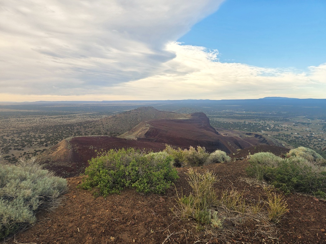
Cinder Mountain is home (so to speak) of the Darling cinder pit mine, in which the mountain is being scraped away for its cinder, to be used for all sorts of things. Half the mountain is entirely gone. The mine has been in operation for well over 40 years, probably longer.
I had ignored this peak during my previous visits because it looked so unattractive, and I was not sure if access was even allowed. But apparently it is, a track from the north going all the way to the top. The peak is entirely on Forest Service land.
I left the hotel at 5 a.m. and got some gas, then onto Interstate-40 about fifteen miles to the Winona exit. I went north, doubled back slightly, then took Leupp Road north a couple miles. I wanted a dirt track going east (my right), pretty much the only one along this stretch of road. It comes before a bridge crossing a low creek.
The road was marginal but Subaruable. It bent northeast and paralleled Leupp Road. I was looking for a secondary road that supposedly would get me close to the base of the peak. Recent reports said these could be driven in a Subaru.
I tried one road and encountered a deep ditch, so I backed out. I tried a second road and it was decent but soft and sandy. This was the correct road, I later discovered, but I did not want to chance getting stuck in the sand, so I backed out again.
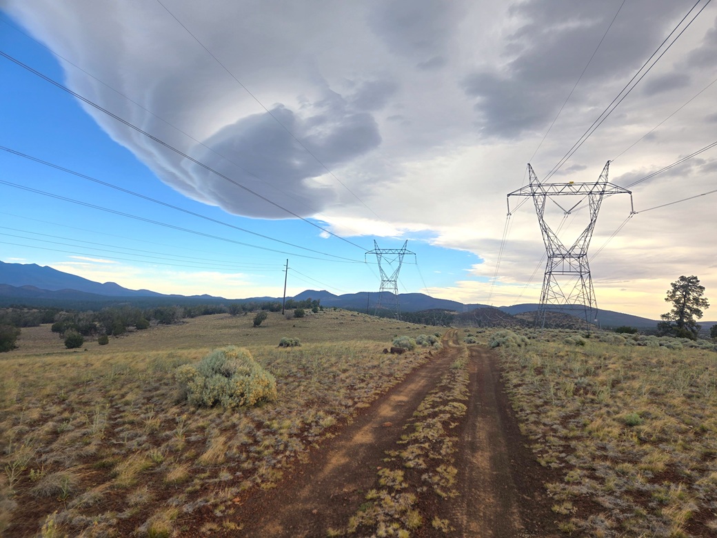
Staying on the main track, I followed it to where it crossed underneath a set of large powerlines. I parked here, quite by luck near a surveyour's disk marking the historic Beale Road. I was a couple miles from the peak, but I was okay with that. I'd be following roads and tracks the whole way.
The day was sunny except above me, where a large cloud bank seemed to be stalled above me. This darkened the whole area and dropped temperatures a few degrees, into the low 60s. I suited up and started walking at 6:01 a.m..
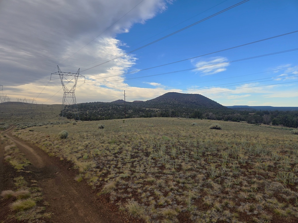
I followed a track uphill, a gain of about 150 feet, then followed the meager track about a half mile, all the while underneath the power lines. This came to a better road, the one I had been on earlier but bailed from. I walked it another half mile. The track dropped slightly, coming to a gate and a road junction. The peak was in sight, about a mile distant.
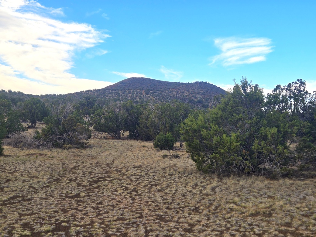
I got onto this second road and followed it into the trees. It wiggled with the land, generally going west, then south toward the peak. I passed an opening in a fence line here, then made a hard left onto a track going uphill.
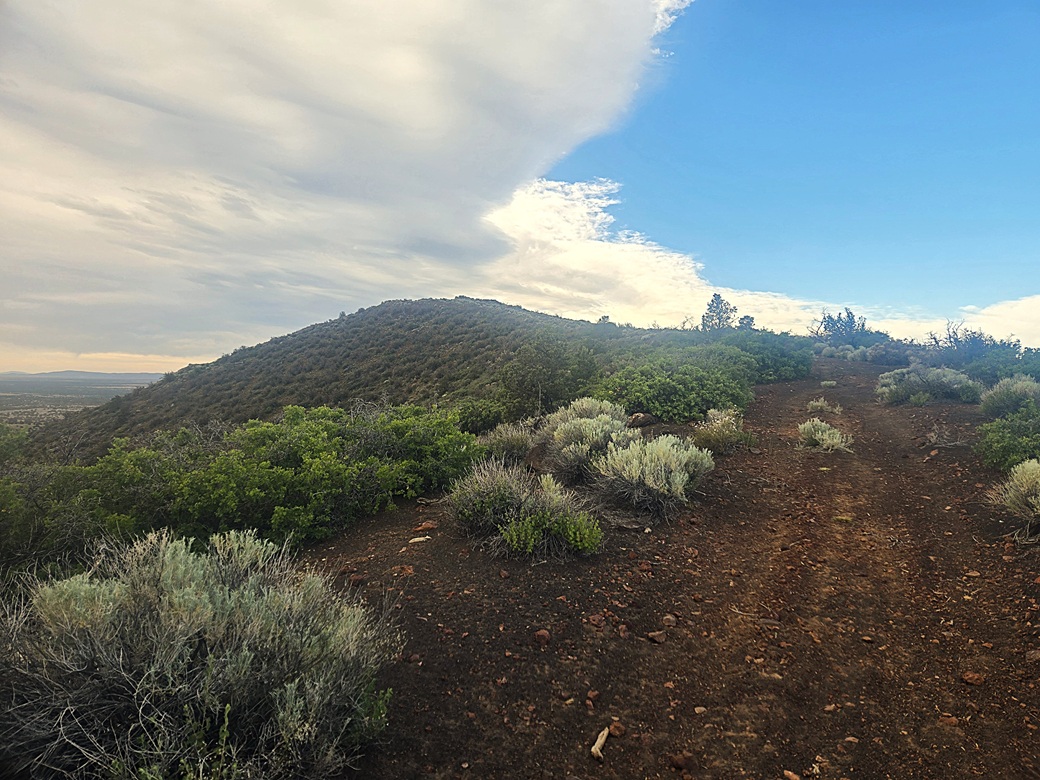
This uphill track was steep and loose. I just went slowly and grunted upward. It reached a notch and leveled off. Here, I could see the top. It was still cloudy and dark, and the wind was strong.
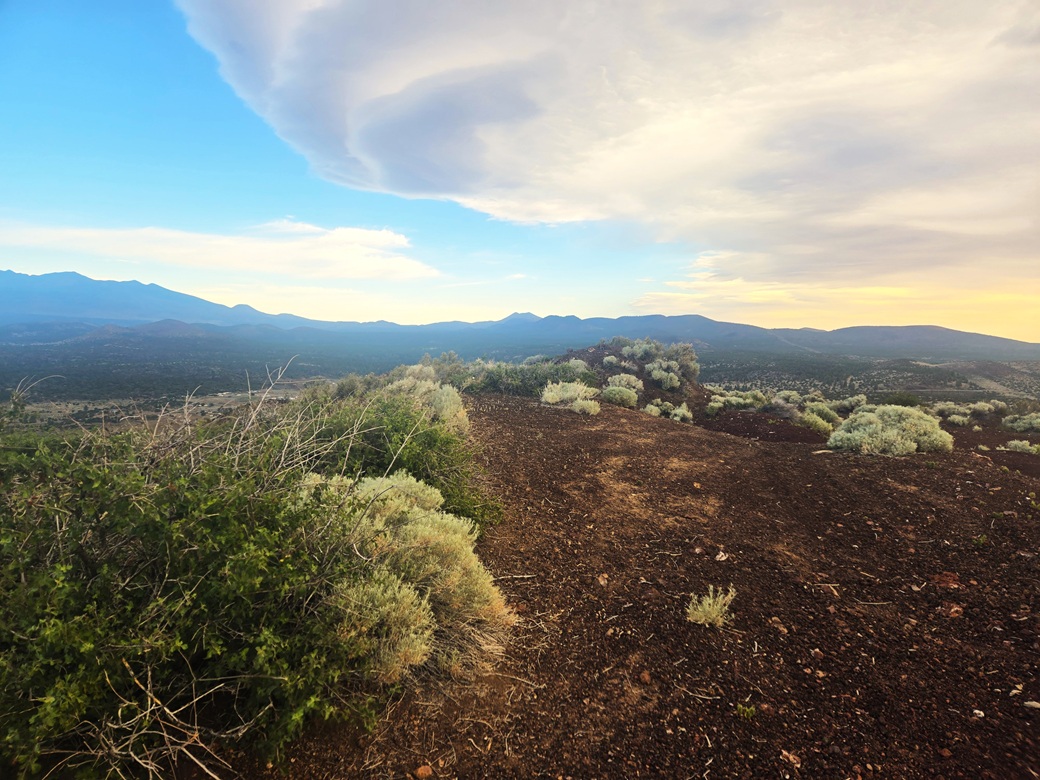
The remaining walk was up one more steep grade, then a gentle uphill to the top. The road abruptly ends at the lip of the operations. The highpoint is one of two mounds obviously built by a bulldozer sometime in the past. I found the register within a cairn and signed in. This peak sees regular visitors, maybe one a month. It had taken me 57 minutes to get here
The views were not too great due to the cloud bank. It never seemed to move. I hoped for some natural light but had no luck. The wind was extremely strong, sustained about 40 miles per hour. If I stood up, it could knock me to the side. I generally kept to a crouch. I did not stick around. After a couple minutes, I headed right back down.
The downhill hike was all business. I had no interest in rest stops, scenery or snack breaks. I kept a good pace and made the outbound hike in 40 minutes. I was happy to be successful. I was a little bummed the weather was not cooperative, but frankly, I'll take what I can get in a case like this. This is not a memorable peak.
In keeping with the theme of completing "quads", this one peak also completed a quad, the Winona quadrangle. This is kind of a technicality, since this was the only ranked peak on the quad. However, an unranked peak, Winona Benchmark Hill, lies south also on this quad, which I climbed almost 5 years ago.
Now it was time to go home. I followed Interstate-40 to Winslow. The western part of Business-40 has some of the creepiest hotel and apartment buildings you'll ever see. I drove through the "cona", then got onto AZ-87, heading south. I'm not much of a Winslow fan.
I like this highway as it slowly transitions from high-desert range to piñon and juniper woodland, to the bigger ponderosa forests. It stayed cloudy and cool. I passed through Clints Well, then down off the Mogollon Rim and into Payson. I stopped at the park in town for about a half hour to relax and have something to eat.
I took the drive home in segments. It was another 80 miles to Globe. I stopped again and walked its main street, Broad Street. Then I drove to Safford, another 80 miles, and killed thirty minutes in a McDonalds. I drove into Willcox and got groceries and gas, then made the push on home, arriving about 4 p.m..
I was glad to be home. It had been a fruitful few days, tagging peaks and celebrating yet another birthday, plus hooking up with some friends and having some good times.
|

|