
The Mountains of Arizona
www.surgent.net |
|
Red Hill • Missouri Bill Hill • S P Crater Southwest Ridge This was my second day, and my first full day, of a weekend peakbagging trip to the Flagstaff area. I had arrived yesterday after a 375-mile drive from Bisbee, taking the back route through Safford, Globe and Payson. It's about 35 miles longer than the direct route through Tucson and Phoenix, but with about a hundredth of the traffic (and almost zero trucks). Yesterday, I hiked Peak 9004 on Sitgreaves Mountain, then crashed at my hotel in Flagstaff, getting an early night. Today, I was up before dawn and out the door a little after 4 a.m.. I had about a 30 mile drive north on US-89 and I wanted to be at my destination just as the sun was rising. It was already warm, in the high 60s at this time in Flagstaff. The drive went well, with almost no traffic to slow things down. I found my way to the access road onto the CO Bar Ranch property, the road just south of Hank's Trading Post. It was light outside but the sun was still below the horizon. I drove westbound toward the hills. I had three peaks on today's agenda. Two lie on the Coconino National Forest but with better road access from the CO Bar Ranch side, while a third peak is on the actual CO Bar property. I had my CO Bar permit printed, a copy for me and one for my car. I did not expect to see anyone but I wanted to keep it honest.
Date: June 5, 2026
• Elevation: 7,218 feet ✳
• Prominence: 600 feet
• Distance: 3.8 miles
• Time: 90 minutes
• Gain: 920 feet
• Conditions: Cool and clear
Arizona
•
Main
•
PB
•
LoJ
•
Interactive map
Red Hill was the first peak I wanted to hike. It lies southeast of the main ranch property, the summit barely inside the National Forest. It rises north of Peak 7380, which I climbed last year, following a road from the south within the National Forest. It was not a good road and I did not want to repeat it for this peak.
I stayed on the main road (Called S P Mountain Road on the online map sites). It's a good road and obviously maintained. I stayed on it until I was south of S P Crater/Mountain. I then turned hard-left onto a secondary road that doubled back and headed east toward Red Hill. This turn is near "BM 6354" shown on the map.
(Another approach road comes earlier from the north from near "Black Tank". However, that road had some erosion and some worrisome high centers. I drove it a few years ago and didn't like it. The road I was just one was one I scouted last year and knew it would be slightly better).
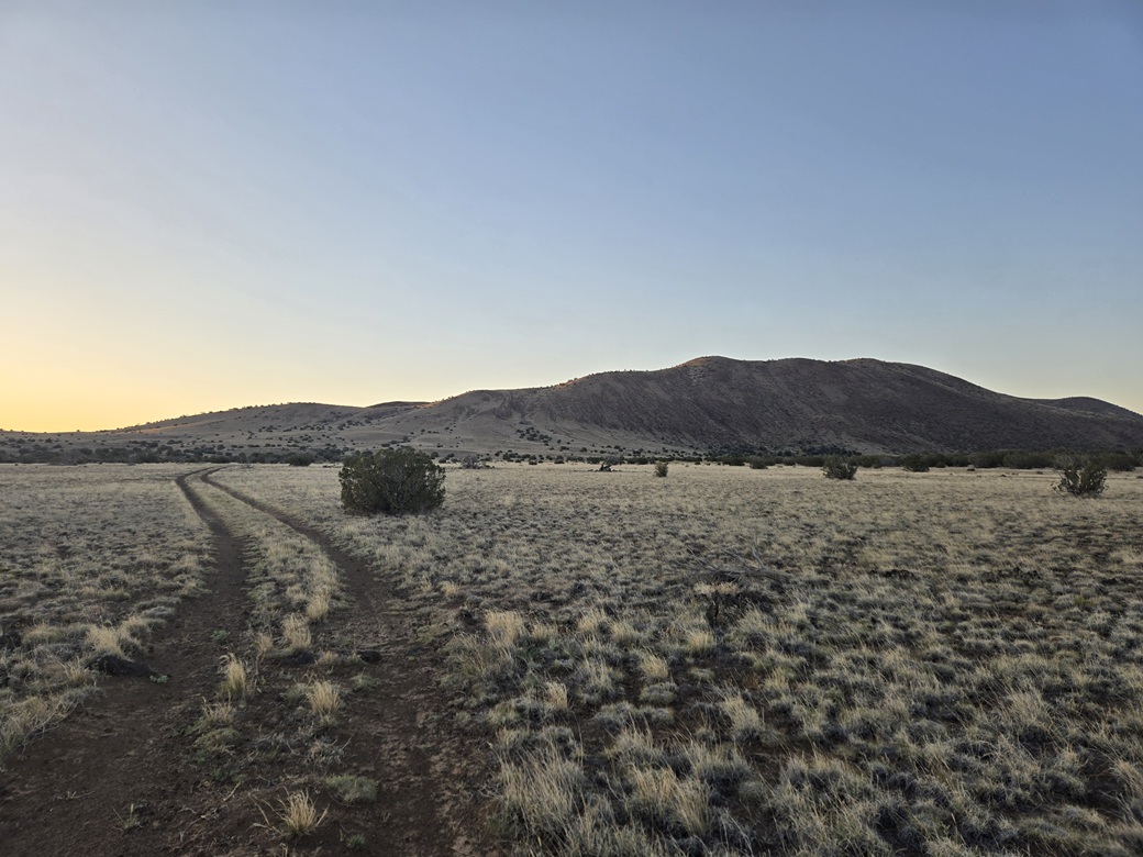
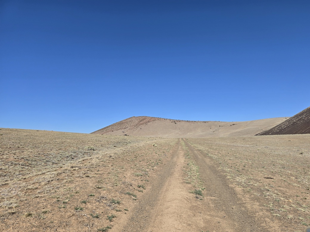
I stayed on this second road as it passed below Colton Crater. A couple of bypasses got around some badly eroded sections. This led me to another track, the continuation of FR-9005C if coming from the south. I parked off the road a little north of the junction. It was barely past 5 a.m.. I started walking almost immediately.
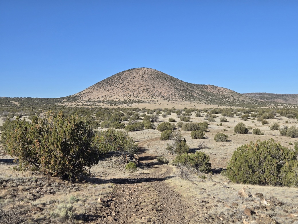
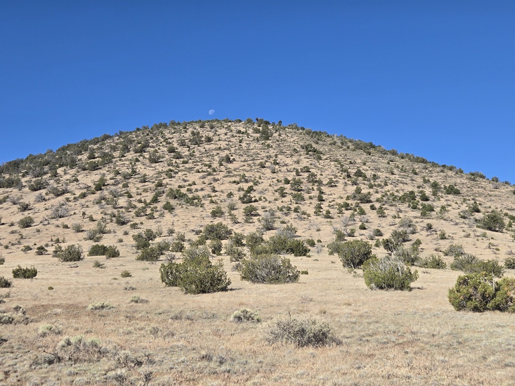
The route is fairly simple: an eastward walk of about a mile toward the northern base of the hill's ridge, then following that ridge southbound to the summit. I walked across open grassy meadow with scattered low trees, even following another track briefly.
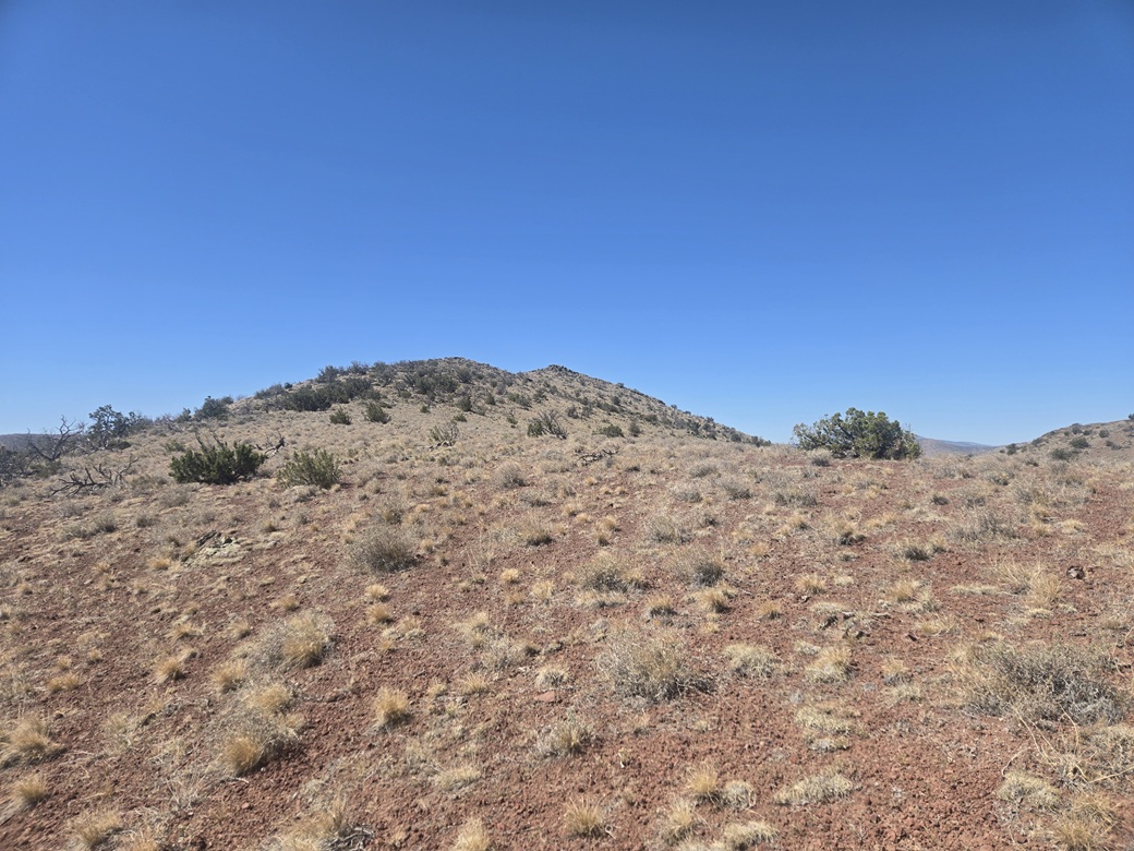
I left the track and started up the gentle slopes of the hill, just marching slowly to keep a steady pace. There were no obstacles and the brush was very light. It was cool but not cold, about 70° at the moment. The sun was up now, but still hidden by the hill itself, so I had shade until I was on the ridge itself.
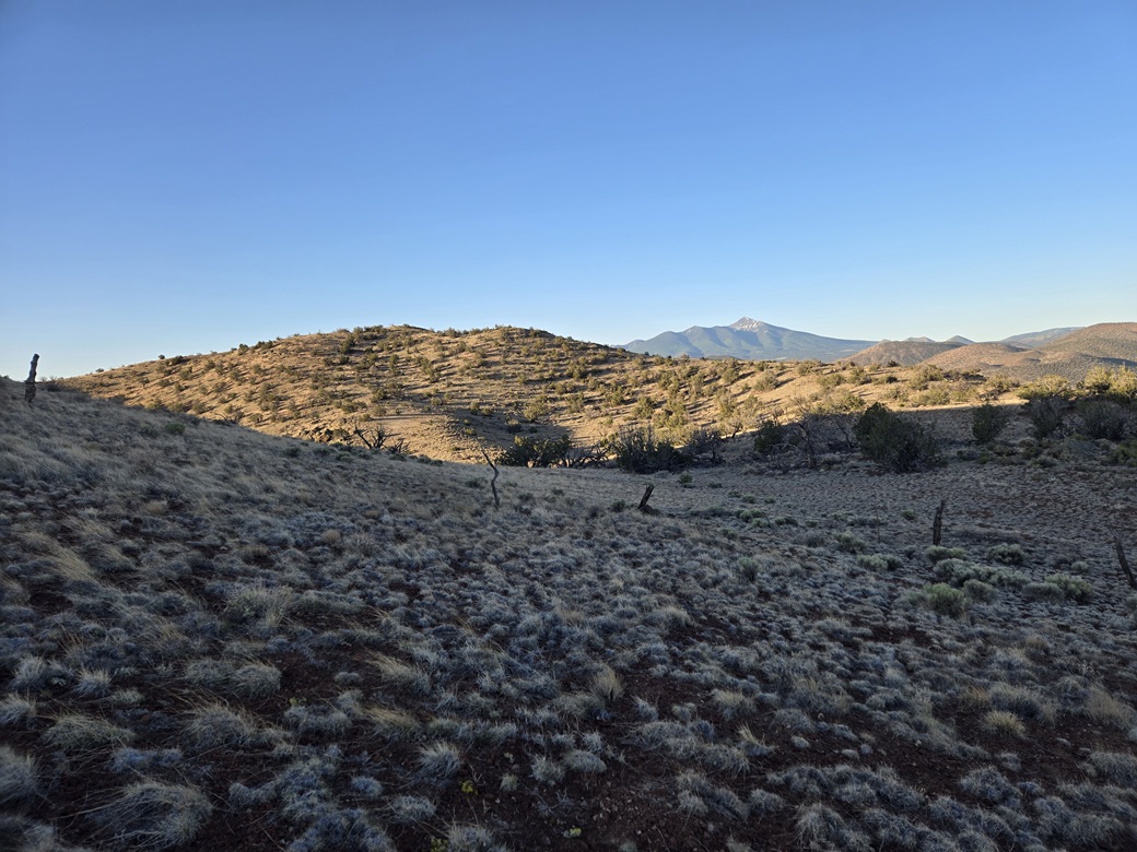
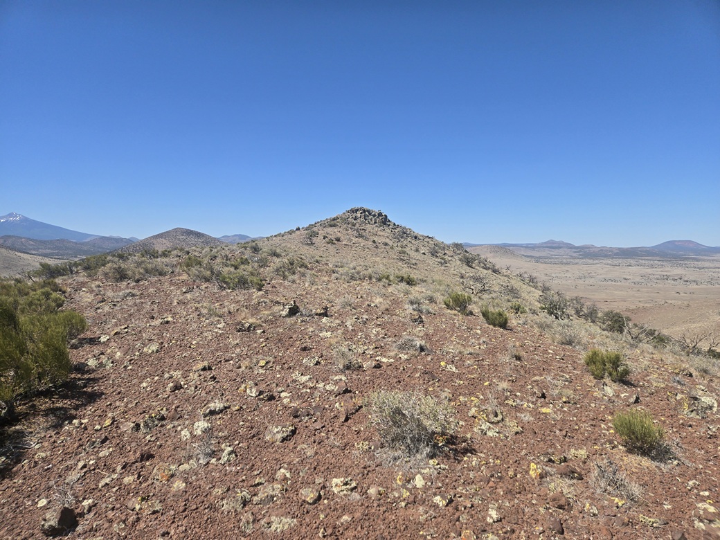
On the ridge, I turned right (south) and followed the ridge up a slope, this one a little more brushy, topping out near a hilltop that I knew wasn't the highpoint. Once high enough, I could see the highpoint in the near distance.
I dropped about 40 feet, then stepped over a fence, this being the boundary of the National Forest. I then circled around with the ridge up to the summit. It had been a fast climb, covering just under 2 miles and taking about 45 minutes. I was in the sun now, with a steady breeze.
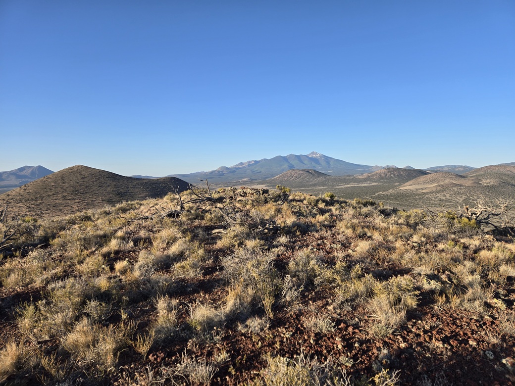
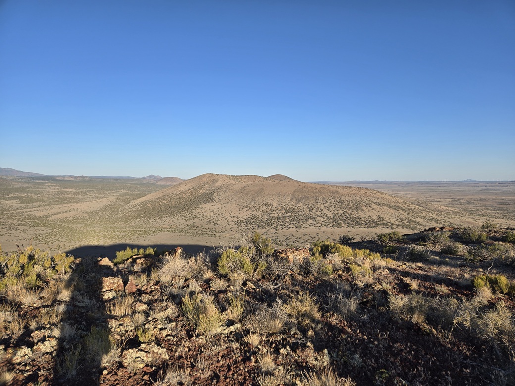
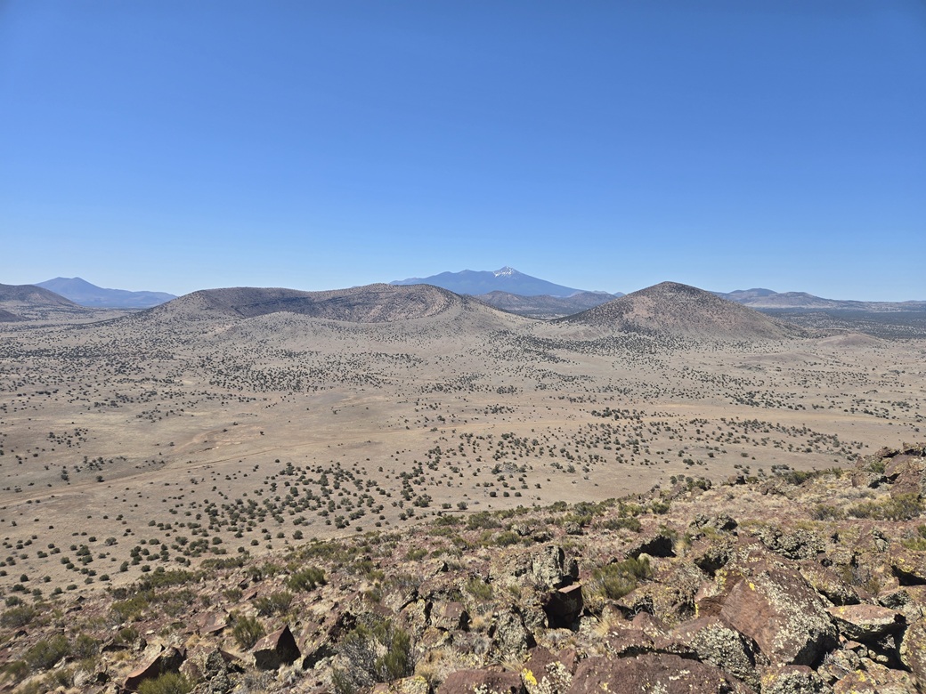
From the top I had fine views, especially with the sun still low so as to create interesting shadows and lighting effects on the surrounding peaks and terrain. I spent about five minutes up top, enjoying the views and also adding my name to the summit register.
I descended the same way, essentially retracing my ascent route. Down lower, I could see my car glinting in the sun, so I aimed for the glint, and was back to my car quickly, a little before 7 a.m..
Next up was Missouri Bill Hill.
Elevation: 7,433 feet ✳
• Prominence: 576 feet
• Distance: 3.5 miles
• Time: 1 hour, 40 minutes
• Gain: 1,080 feet
• Conditions: Warmer but with a breeze
PB
•
LoJ
•
USGS BM Datasheet
I got myself back on the main road within the CO Bar Ranch, heading west. A mile or two later, I came to a junction that I remembered from last year. It's not an obvious junction at all and would be easy to miss entirely. This time, I knew what to look for.
I turned onto what didn't look like a road at all, just a flat patch of ground with lava rocks. But it is a road, and it drops a little bit toward a pen. Here, I propped open two gates within fifty feet of one another and drove through, going back to close them. I was now on a track heading south, between Peak 7413 and Antelope Hill.
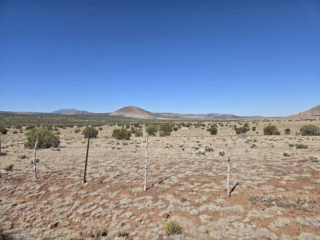
This road leads back to the National Forest boundary after about a mile and a half. I immediately turned right onto a track that connected to a Forest Service road, FR-417, which runs alongside the boundary fence. Missouri Bill Hill was visible about two miles away.
I hoped to drive on this road rather than walk it. It was a decent road in spots, rocky in other spots but fine if I went slowly, and with one stretch with deep ruts and a high center that forced me to put one set of tires on the high center itself and the other set on the berm beside the road. This worked. I parked within some trees before the road dropped about thirty feet into a broad draw near Deer Tank.
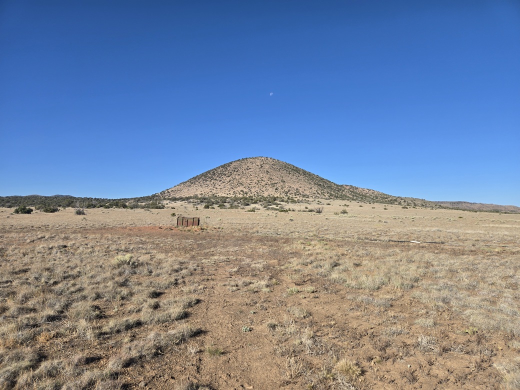
It was 7:20 a.m. when I started hiking, sunny and still pleasant but noticeably warmer than even a half hour earlier. I walked the road down into the drawn, then followed a lesser track southwest toward the peak. This meets another road with some sort of metallic apparatus at the junction (I had no idea what it was). Here, I left the road and aimed directly for the peak, still about a mile away.
The terrain sloped upwards very gently and I made decent time. The peak rose ahead, symmetrical from this vantage, so that no one slope looked better than the others. I was too lazy to make any big end runs and planned to tackle this peak head on.
The slope steepened in increments until it was at its steepest, and stayed this way for about 600 vertical feet. The actual uphill hiking wasn't difficult. The terrain was open and at worst I just had to zig and zag around some trees or brush. But it was steep and tedious and it seemed to just go on and on.
In reality, it wasn't too bad. The grade never lessened. It just stayed steep until suddenly, there was the top. The transition was very quick. This uphill segment took about a half hour, and the overall hike almost exactly an hour.
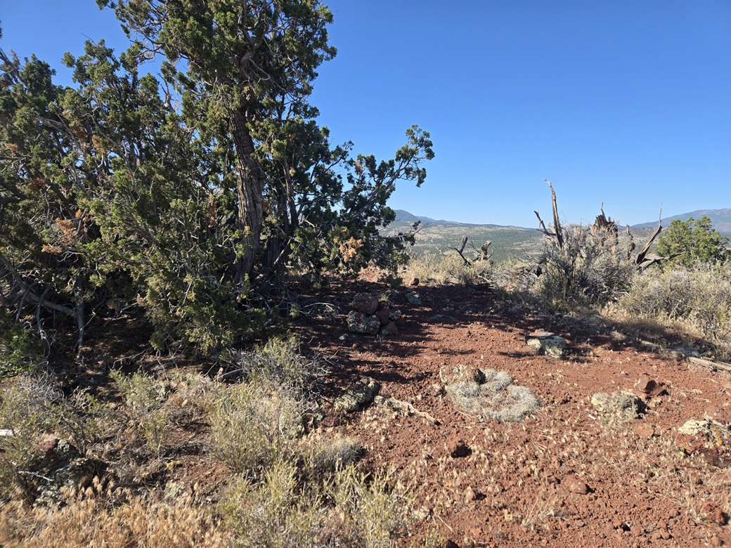
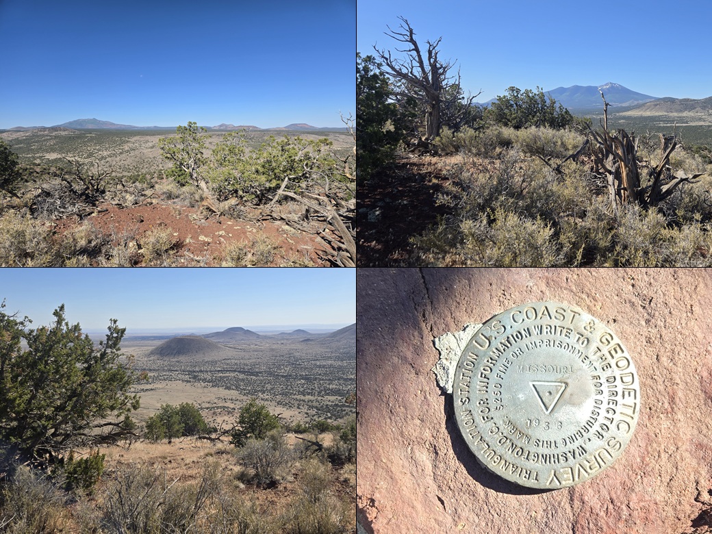
The summit was open but with some trees, the summit cairn underneath one such tree. The "Missouri" benchmark was nearby, as was a register. Not sure where the "Bill" part of the name comes from. It was warm but comfortable, with a steady soft breeze. I walked the length of the short summit ridge, not sure what I would find. I came back to the benchmark area and after a short rest, started downhill.
As tiring as the uphill slog was, the downhill went very fast. The cinder kibble was solid enough to slide along with my steps so that I could long-step and ski a little bit at a time. I never stopped, and was off the mountain after ten minutes. That was actually fun.
Then it was just a matter to walk back to my car. I could see it glinting in the sun, so I aimed for it, taking a slightly more direct route than retracing my inbound hike. This may have saved me a tenth of a mile. I was back to my car at just shy of 9 a.m..
I was feeling pretty beat after this hike but also feeling good. This had been the toughest of the hikes but other than being steep, it wasn't that bad, just tiring. I still had some energy in me to visit a third peak on my drive out.
Elevation: 6,901 feet ✳
• Prominence: 301 feet
• Distance: 1.6 miles
• Time: 50 minutes
• Gain: 600 feet
• Conditions: Warm and very breezy
PB
•
LoJ
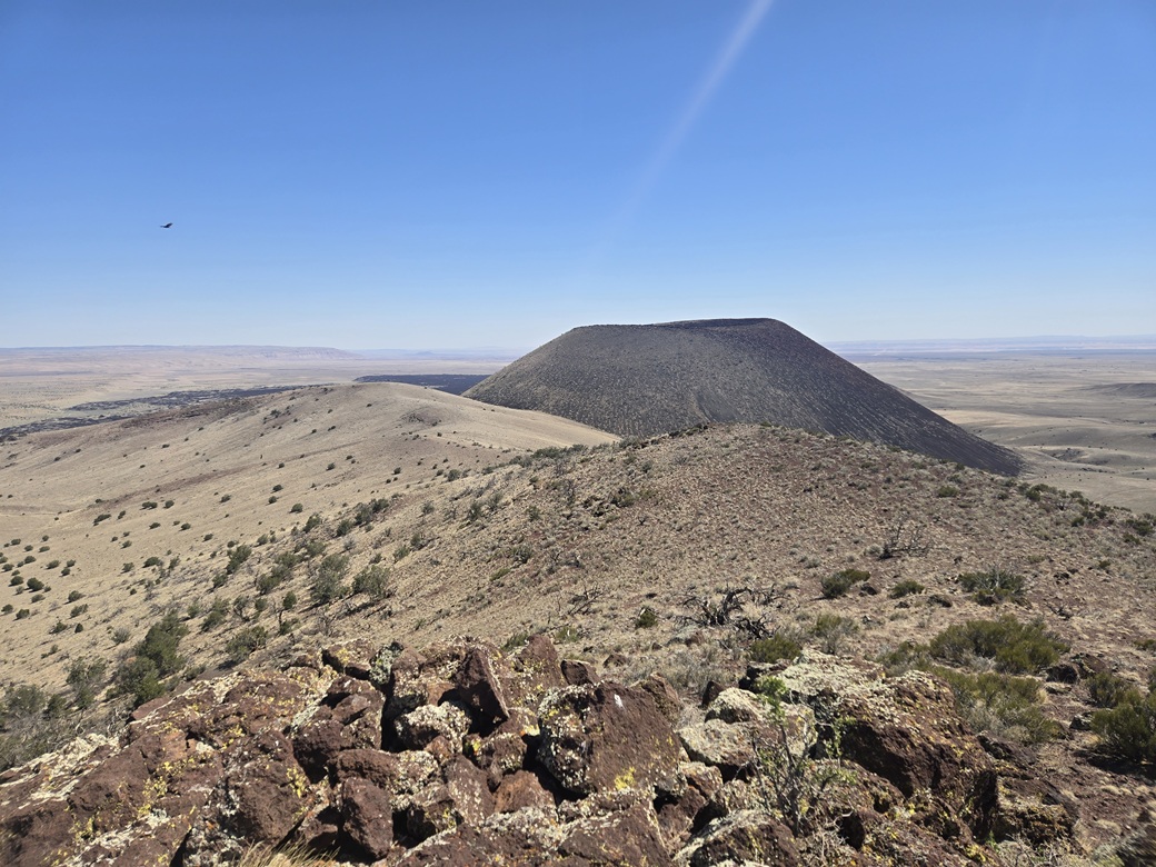
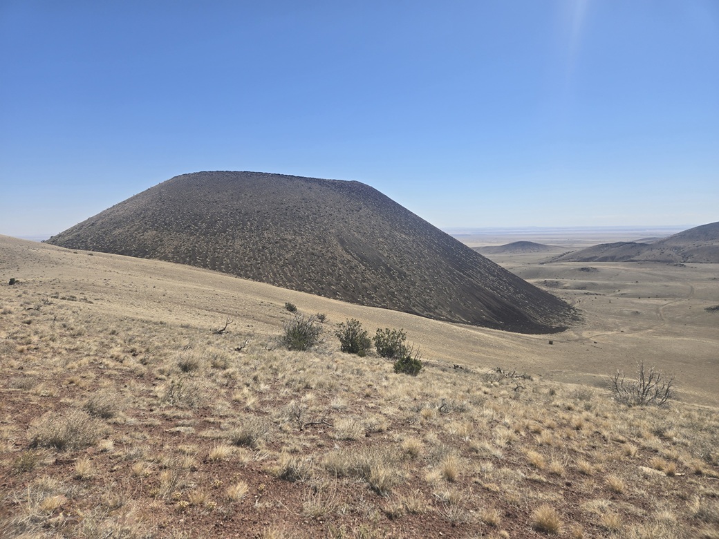
I did not drive that far, situating myself a little east of the massive S P Crater/Mountain, which I climbed in 2019. A ridge appends itself to the mountain, and its far southwest tip is a ranked peak in its own right, although just barely.
Last year when procuring my CO Bar Ranch pass, I learned that they have an exclusion zone roughly centered around S P Mountain due to eagle nesting, through May 31 of every year. Thus, I was mindful to be here after May 31, by which time the little eaglets have already grown up and flown away. I don't want to disturb them or their nests.
I left the main road onto a lesser track that drops into a small valley, and parked just before a gate and a fence line. The road continues uphill to the ridge at the base of S P Mountain. However, I did not need to follow the road. A more direct approach would be appropriate.
It was warm now, and very breezy, sustained winds about 15 miles per hour, gusts up to 25, just enough to mess up my hair. But it helped moderate the warm temperatures and actually wasn't a nuisance at all. I locked the car and aimed uphill, with a slight leftward angle.
The terrain was very friendly. The grass was mowed down to about an inch, with intervening open areas of gravel. Not a big rock or pointy plant anywhere. I aimed upward for a lowpoint on the ridge but it didn't really matter where I met it. I just went with what looked easiest.
Shortly I was on the ridge. The summit was two bumps ahead. I climbed toward the first one and bypassed it, then up easy slopes to the summit, which was rockier than I was expecting. I didn't need to use my hands, but I had to find rocks I could step on. And there I was, on top, about a 20-minute hike.
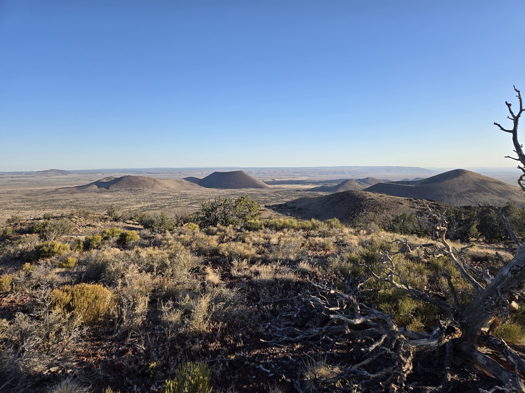
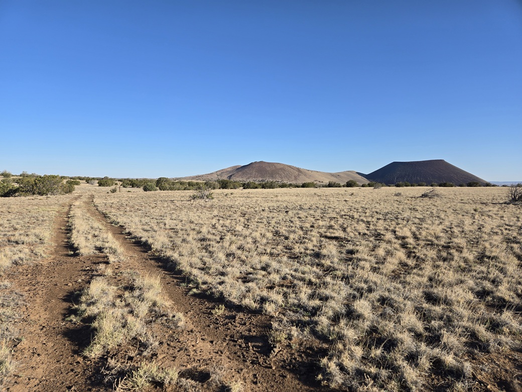
I took my usual 3-minute break, signed into the register and looked around. The wind was kicking up a little dust but not much. Views weren't as crisp, though. The best views were of S P Mountain. I was high enough to see the lip and part of the crater itself. That is one damn impressive volcanic vent.
I hiked down the same way, stopping for images. The crater is utterly massive when viewed up close. It sticks out so much due to its shape, its symmetry and its dark color. It's one of Arizona's most interesting geologic features.
I was soon back to my car, this hike taking less than an hour. It was still just mid-morning but I was done. I had three peaks and I was able to complete two more quads, East of S P Mountain and S P Mountain. It also cleaned out the entire area and left just one ranked peak undone, Mesa Butte which lies a few miles to the northwest, and not easily driven to from this part of the ranch property.
From here, I drove back to the highway and into Flagstaff, back to my hotel. It was warm, into the mid 80s. I had been up since 3 a.m., so after a shower and something to eat, I took a mid-day nap.
Tomorrow, I woud meet up with Matthias and we would tackle a quartet of easy peaks way over on the west side of the volcanic field.
|



|