
The Mountains of Arizona
www.surgent.net |
|
Peak 8178 • Peak 7614 Today was Day 2 of a three-day hiking trip to the Show Low area. I had left early yesterday and hiked four peaks mostly along the AZ-260 corridor. I stayed the night in a hotel in Show Low. The weather pattern here has been sunny but humid mornings, with clouds collecting by the late morning, and generally cloudy skies thereafter. This is what the weather sites had been showing, and is what I experienced yesterday. But the really heavy rain and intense thunderstorms were not forecasted. I wanted a very early start to take advantage of the cooler temperatures and clear skies. I was out the door a little after 5 a.m., heading east on US-60 through town, then staying on it about thirty miles until I was getting near Cerro Quemado, one of the bigger volcanic mounds in the area. I wanted Apache CR-3123, which becomes Apache-Sitgreaves Forest Road 117 at the forest boundary to the south. The first peak on my agenda was Peak 8178, which rises north of Cerro Trigo, which I climbed way back in 2020. I went south on CR-3123 to the forest boundary, then about a half mile later, turned right (west) onto CR-1327/FR-65. I followed this in about two miles to a lesser track, marked FR-8668A on the map.
Date: July 13, 2026
• Elevation: 8,178 feet ✳
• Prominence: 338 feet
• Distance: 1.6 mile
• Time: 1 hour
• Gain: 370 feet
• Conditions: Sunny and pleasant
Arizona
•
Main
•
PB
•
LoJ
•
Interactive map
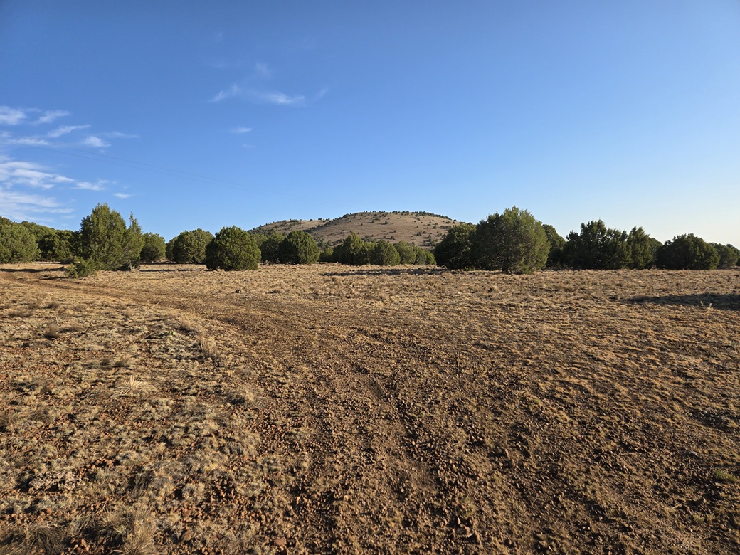
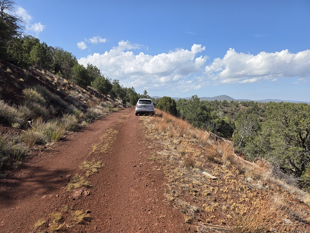
So far, things were going well. It was pleasantly cool, in the 50s, and sunny with no clouds as of yet. It was a little past 6 a.m. now. I went in on this last track about two hundred yards, then right (north) onto another track, which was rough but drivable. I parked in a clearing near a power-line transformer.
Peak 8178 rose to the north, less than a mile away. I got suited up and started walking about 6:30 a.m.., following the track north. At a Y-junction minutes into the hike, I went left and followed this branch all the way to the saddle south of Peak 8178, elevation approximately 7,880 feet.
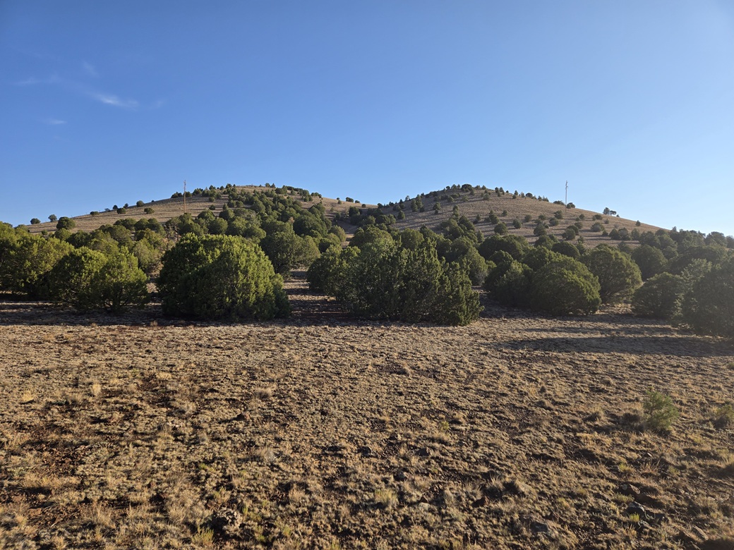
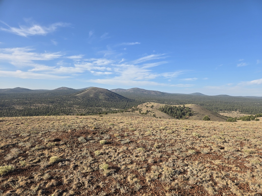
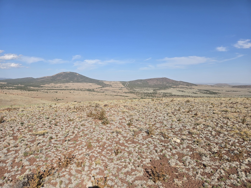
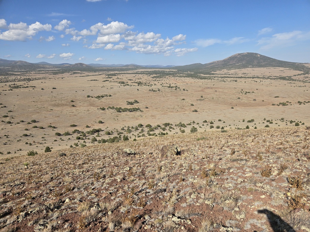
From here, there would be no more track or trail to follow, but it did not matter. The slopes were open, lightly dotted with low piñon and juniper. The undergrowth was almost absent: just scattered clumpy grass about an inch high, and bare rock in between.
The uphill hike was easy because the slope laid back nicely. Toward the top, I had to step over a fence, marking the forest boundary. By this time, I was essentially on top the mound. I could see the highpoint up ahead.
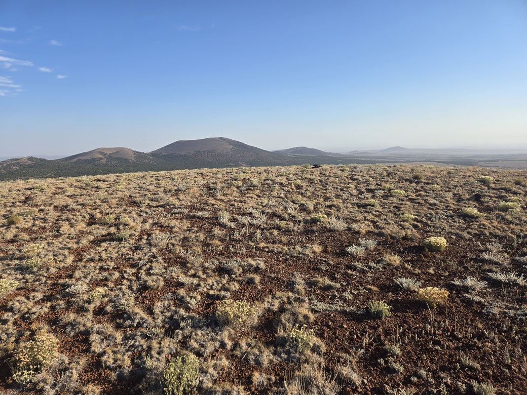
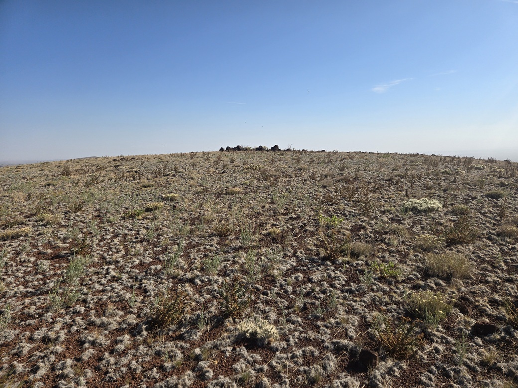
The hike to the very top was over very gentle gradients with no trees and unlimited views. I was at the top, marked by a very humble cairn, about thirty minutes after starting. It had been a fun and efficient hike. I barely broke a sweat.
I found a register within the cairn and signed in, then stuck around for about five minutes to snap images and enjoy the views. The biggest peak nearby was Cerro Montoso. I could see Cerros Trigo and Quemado, the bigger White Mountains to the south, and a bunch of lonely mounds to the north, where I was headed next.
The hike down went fast. The terrain was very forgiving. There were no big or awkward rocks, no dicey sections, no ankle-breakers to worry about. The outbound hike took about twenty minutes. I was back to my car about 7:20 a.m..
From here, I retraced my route back to US-60, and headed west a few miles.
Elevation: 7,614 feet ✳
• Prominence: 336 feet
• Distance: 1.2 mile
• Time: 45 minutes
• Gain: 350 feet
• Conditions: Sunny, pleasant, warming up
PB
•
LoJ
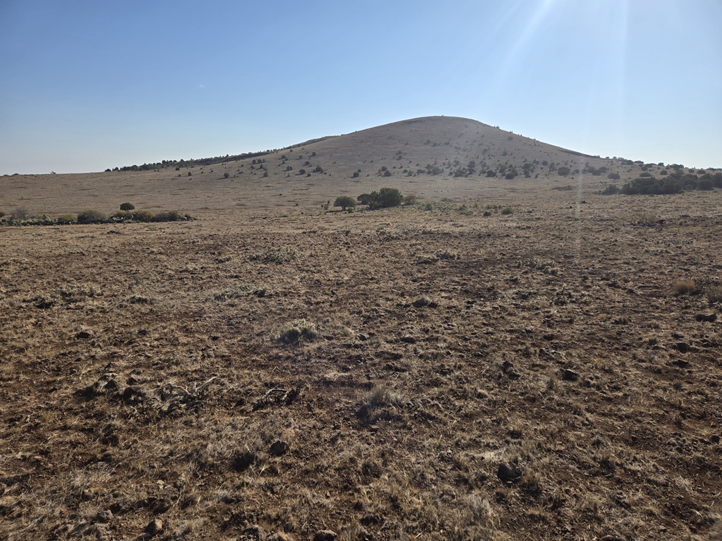
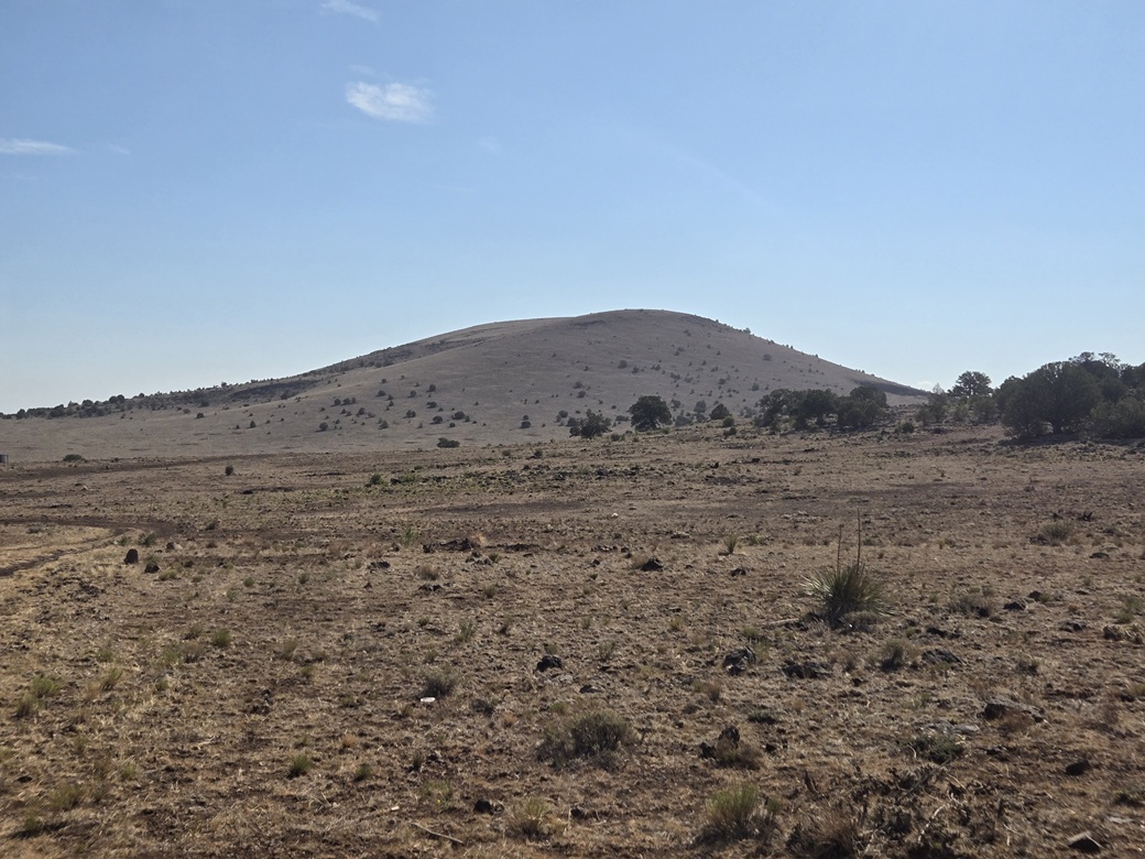
Next up was this peak, which has no name. It rises about a mile north of the highway, on State Trust land. It has a nice symmetrical mound shape, with vegetation about what I had just had on Peak 8178 (which was, very little of it).
I drove to a gate alongside the highway. It wasn't locked nor posted against trespassing, but opening it took some thinking. The wire loops wouldn't budge, and it seemed maybe they had rusted in place. I finally manhandled it a little and it loosened. I opened the gate, drove in, and closed it.
I then drove the track south toward a cattle tank. The road was rough and marginal. There were no cattle, and fortunately, the road was not muddy although it appears that it often gets muddy. Old ruts still stood out after who knows how long.
I only got in about a half mile, but just enough to curl around one low hill so as to be invisible from the highway. I started hiking at 7:40 a.m.. It was still sunny and cloudless but about ten degrees warmer. I aimed northeast and dropped about forty feet to a gentle draw, then started up the slope.
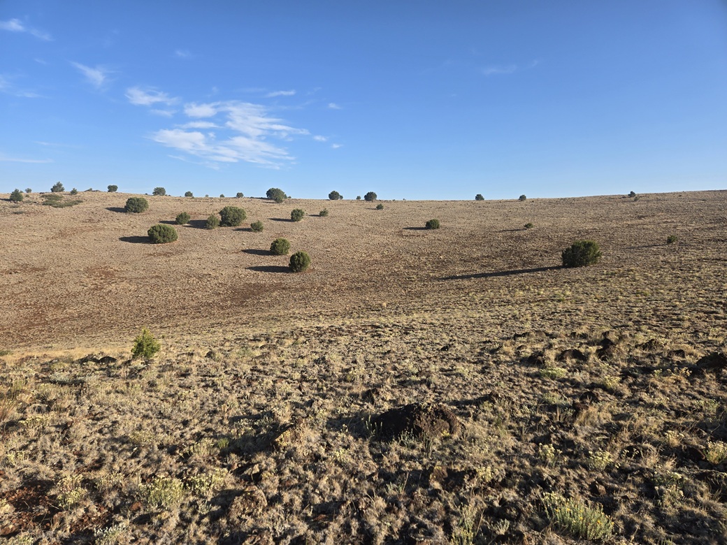
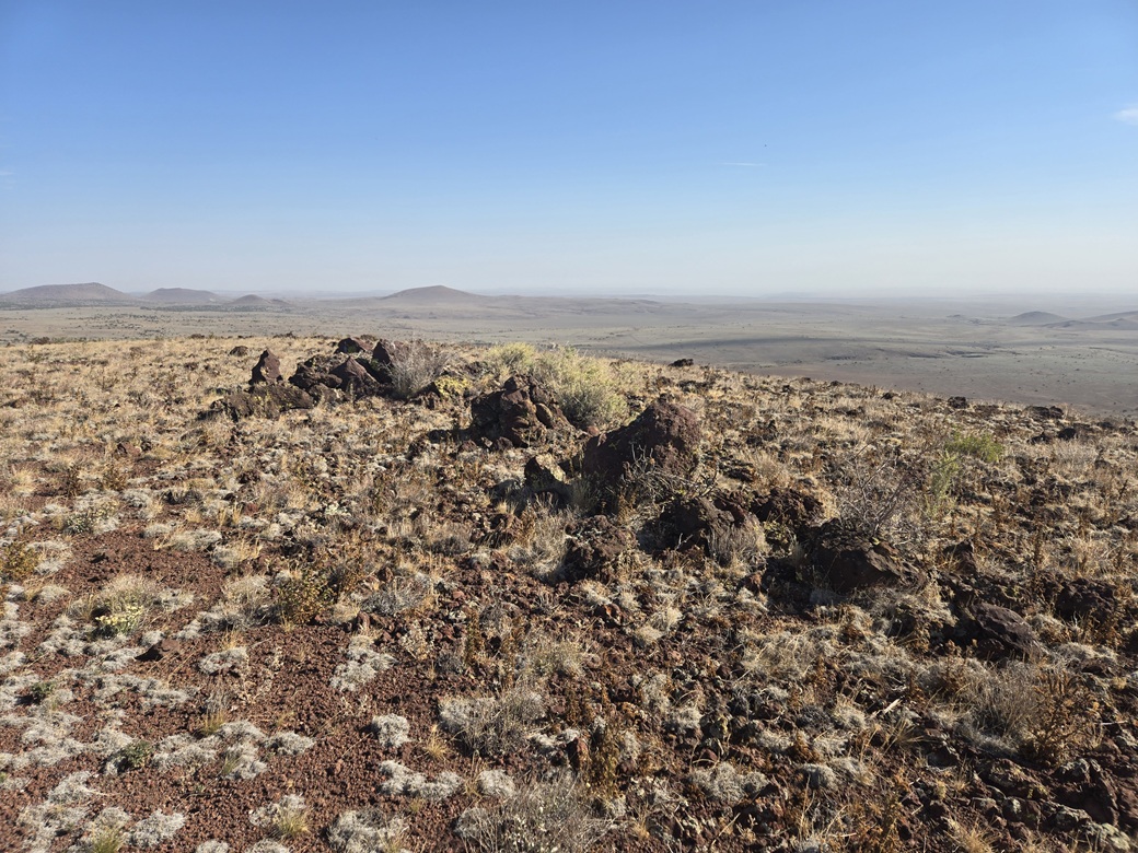
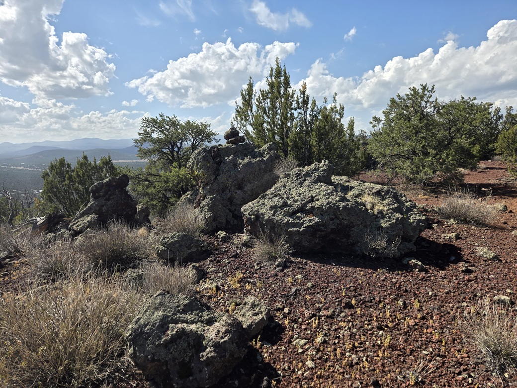
This uphill was like on Peak 8178: very easy and efficient, nothing to slow me down. It was just low grass and rock, and a tree every hundred feet. Once above the slope, I just walked around the crater rim to the highpoint, marked by three or four large rocks.
The register was in a cairn in the middle batch of rocks. I tagged the highest rocks. One seemed to be a packrat midden. The register was unreadable. The paper within was rotted into a clump. The pencil still worked, though. I tore out a small piece from my stash and signed myself in. Not many people come here, perhaps one a year.
Views were good. I could see Cerro Hueco to the north — the cerro part, not the hueco part. I got a fine view of Cerro Montoso and its northern satellite peak which I have always called Montosito. I could see the highway, US-60, going up between them.
The hike down went well, too. I made good time and was back to my car about 8:25 a.m.. As I was descending, a cop car was parked beside the gate I had entered, with its lights flashing. The state was doing some road work today, shutting down a lane requiring a pilot car to lead cars through one direction at a time. The police car was there obviously for traffic control.
I was a tiny bit concerned he'd be blocking me in, or wonder what I was doing and possibly give me a hard time about trespassing. This was State Land so I was safe. When I got to the gate, he was off to the side. I just opened it, passed through, closed in, snapped an image, and acted like I do this every day. He didn't seemed concerned one bit about my presence.
I got into the westbound US-60 lanes and immediately came to the back-up of cars. I had maps for a peak or two a little to the north, and the road I wanted was taken over by a work truck. I'd have to cross the work lanes, and then get past the work truck. I wasn't going to do that, so I passed on by.
Elevation: 7,200 feet
• Prominence: 364 feet
• Distance: 0.3 mile
• Time: 10 minutes
• Gain: 100 feet
• Conditions: No change
PB
•
LoJ
I continued westbound on US-60 about ten or fifteen miles. Next up was Dobbins Knoll, which rises immediately north of the highway, near where AZ-61 meets the highway.
This area is mostly private, the land being divided into little ranchette properties about a quarter square mile in size, and smaller lots in between. But, the roads are usually open and a public right-of-way.
I drove to a road a little southwest of the knoll. The map calls it Huff Puff Trail. All I saw was a stop sign, a tiny N-3313 marker, and some fancy stonework forming an entrance. But nothing about not being there, git or shoo.
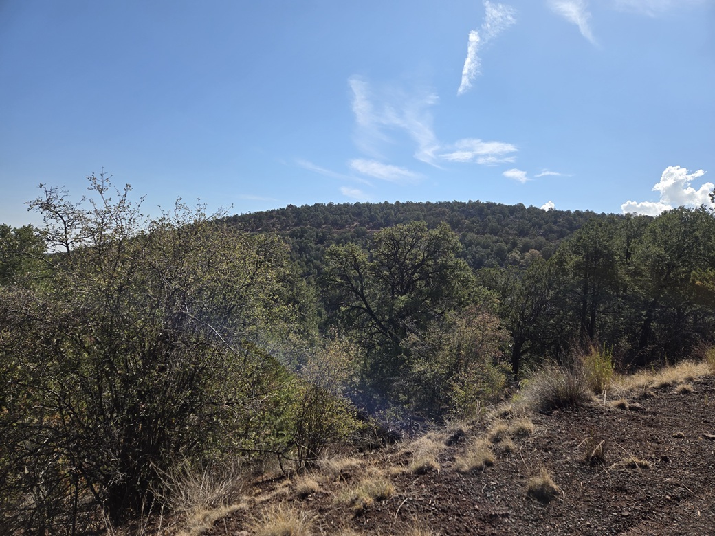
I went up this road, staying straight or left at every junction. I was now on the knoll's west slopes. This road curls around the west and north slopes. There are no more house lots back in here. The road is narrow but in good shape, but with steep drops.
I parked at the road's apex, due west of the highpoint. I thought it would be wise to orient my car the other way so that if I had to leave quickly, I could just jump in and go. This turned into a 17-point U-turn. I had to be very mindful not to drop a tire over the edge. I had about three feet or margin to work with.
For the hike, I just went in with my poles and camera. I busted up slope, and within a minute, was on the top rudge. I went south a little bit and found the highpoint rocks, boulders about six feet high. I clambered up one and tagged the highest point. I found no cairns nor registers.
There seemed to be a track up here so I followed it, and it actually led to a road that led down and back to where I parked. This added about a tenth of a mile to my hike. This road was posted, but only after I had exited did I see the sign. Was this an old mine? Did someone have an idea to build a home up top?
In any case, this hike went very fast, about ten minutes. I was happy to get it done. All it does is fill a hole for me. I drove back down and back to the highway. It was still early, not yet 10 a.m..
Since I had time, I followed highway AZ-61 northeast and took a look at the next knoll north, called Dutch Mountain. I had no maps, and the online maps were not helpful. I tried a few roads but got nowhere. I had hoped to get lucky but it was clear I'd need to do some homework for this knoll. So I exited and got back to US-60.
I had no other big plans for today, so I drove back to my hotel room and napped for an hour. I then got onto my device and looked for ideas. This led me to Springer Mountain Lookout.
Elevation: 7,205 feet
• Prominence: 135 feet
• Distance: Drive-up
• Time: 30 minutes
• Gain: 60 feet (climbing the tower)
• Conditions: Cloudy, humid, some rain
PB
•
LoJ
I let a few hours pass. I was tired, and the weather had gotten much cloudier with some rain, so there was no compulsion to be on the move. I decided to go look at Springer Mountain, which lies essentially within town, being barely outside the city limits of Pinetop-Lakeside.
From my hotel, I drove down the AZ-260 about eight miles, until just past Blue Ridge High School. Along the way, the lookout structure can be seen atop Springer Mountain at certain points.
From the main road, I followed these side roads: north on Moonridge, east on Mountain, north on Festival, east on Meadow, which then bends northwest over a bridge, then southeast on Pine Shadow, then north on Springer Mountain Drive. Near some water tanks, FR-187 branches right (east) then passes out of the city (P-L) and onto the forest land.
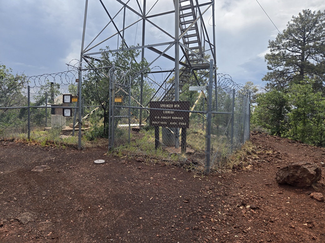
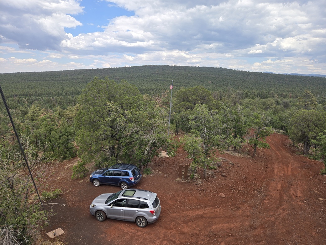
This road is dirt but in good shape. I followed it about a half mile, then made a right at the sign for the lookout. This last road was rougher but still passable in a Subaru. I thought about parking early and making a token hike out of it, but the cloudiness and wetness "motivated" me to keep driving. I parked at the base of the tower, beside another Subaru Forester.
Just as I got out, the lookout lady poked her head out of the window and invited me to come up. I walked the immediate area then carefully ascended the steep stairs up to the lookout cab. This would be my climb. Toward the top it gets steep and I was holding on tight. I also had to watch my head for low beams.
I sat with the lookout lady for about twenty minutes. She is a day lookout, meaning she lives at home and commutes in every day. She gets a steady stream of visitors. She said she had a group just before lunch today. The sign-in log had names going back many pages. She was very sweet and we spent the time talking about the region, the history, any fires I should be aware of, where I was from, and so on.
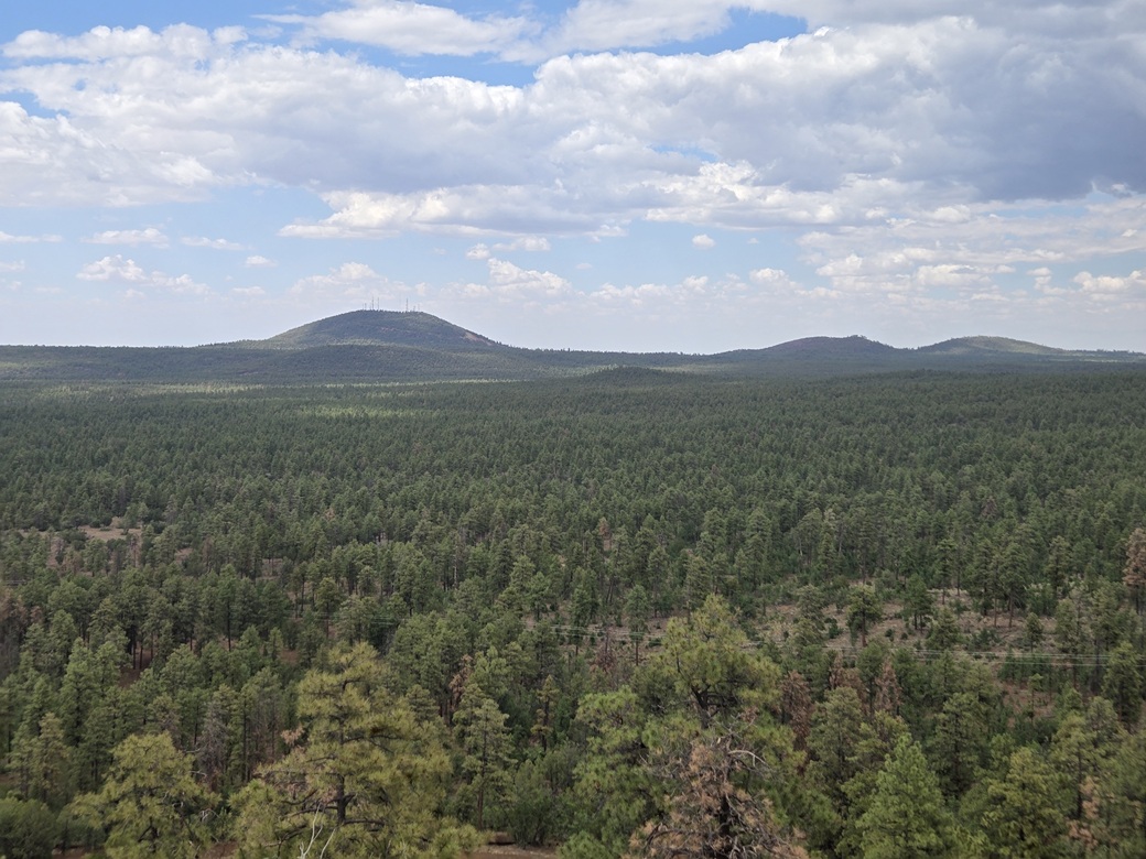
The views were very good. It's an elevated view above the heavy forest, allowing for some views that would otherwise be difficult to come by. Porter Peak rose to the north, and Blue Ridge Mountain to the east. To the south, the clouds had piled up against White Mountain and I even saw a lightning strike. When I said I saw one, she asked me where. I think she is obliged to log these.
I enjoyed my talk with her and it was a chance to learn a little history of the area. I didn't want to take up all of her time. I thanked her and started down the steps and back to my car. As for things on the ground, I stepped on any high rocks, and the benchmark was within the tower fencing, but unstamped, which disappointed me.
I drove back into Show Low, and rewarded myself with the two-taco special from a place near my hotel. Tomorrow, I would start the drive back to Bisbee, and tag one more peak before leaving altogether.
The mountain presumably is named for Henry (possibly Harry, I've seen references to both names) Springer, a trader in the 1870s after whom the town of Springerville is named.
|


|