
The Mountains of Arizona
• www.surgent.net
|
| Peak 8540 |
• White Mountains • Springerville Volcanic Field • Apache County |
|
Date: July 14, 2026
• Elevation: 8,540 feet ✳
• Prominence: 394 feet
• Distance: 4.5 miles
• Time: 1 hour, 50 minutes
• Gain: 650 feet
• Conditions: Sunny, humid, light clouds, cool in the shade
Arizona
•
Main
•
PB
•
LoJ
•
Interactive map
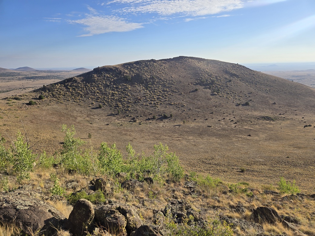
Peak 8540 rises north of Antelope Mountain on the Springerville Volcanic Field. The peak has two lobes, the southern one (marked by spot elevation 8525 feet) being the highest. The north lobe is just a few feet lower. Lidar affims the southern lobe is highest.
I was in Show Low for a couple days, and would be heading back to Bisbee today. I got a very early start, before sun-up, and left my hotel, aiming east along AZ-260. About an hour later, I was near Antelope Mountain, which rises just north of the highway. Peak 8540 is about another mile to the north.
I left the highway just past the "you are leaving the Apache National Forest" sign, onto FR-558 (the maps show the forest boundary is another half mile to the east, so there is a mistake here). This track bends left toward the Fish Creek Corral. In 2014, when I climbed Antelope Mountain, I got only this far. Rains had rendered the roads into deep mud. Although it had been cloudy and rainy these past couple days, the rains weren't enough to muddy these roads. They were solid, so I drove in as far as seemed sensible.
The road trends northwest, then north and gains up a slope toward a gate, this being the forest boundary. I passed through the gate, then made an immediate left, descending towards the Ellis Wiltbank Reservoir. The road thus far had been passable, if a little rough. The high centers were a concern. I parked off the road beside the reservoir, which was empty. The entire hike was on State Trust land.
It was still very early, not yet 6 a.m.. The sun was up but still low in the east. It was pleasantly cool, with very few clouds. However, it was humid. The same pattern from the past few days would persist. I got suited up and started walking at 5:59 a.m..
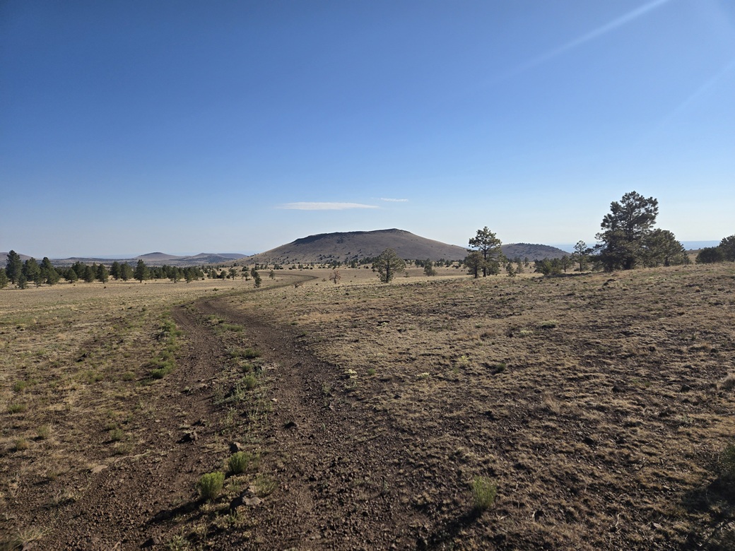
I had about a mile and a half of road to walk, which went quickly. The road gains about 60 feet to an apex, then drops over 200 feet over most of a mile toward a ditch (marked "DITCH" on the map). The peak became visible when I reached the apex. The sun was still low providing for good lighting. However, once out of the shade, I could feel the warmth, although it was still mild.
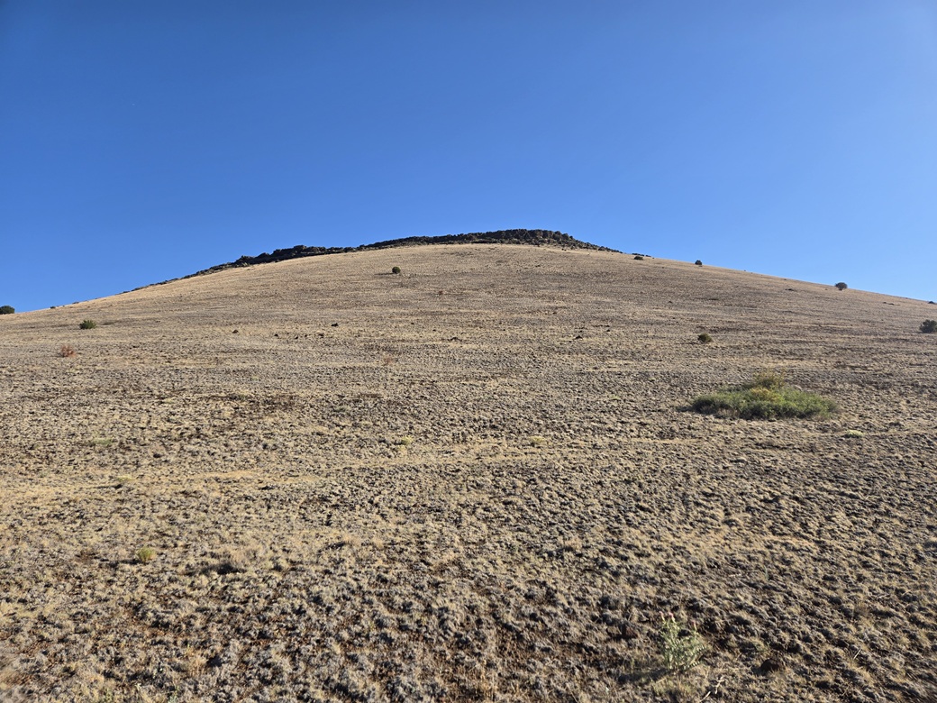
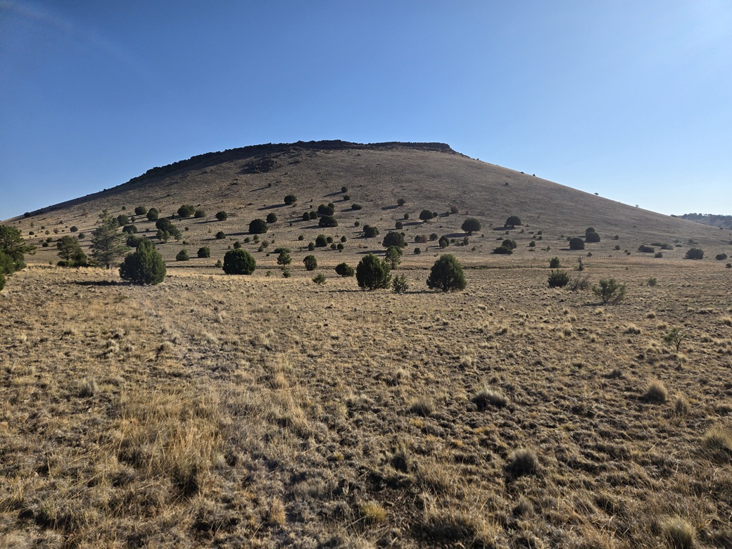
The road comes to the ditch, then bends right toward the peak itself. Back in the shade, I left the road and started up its southwest slope. The slope looked friendly, with low grass, few trees and no obvious barriers — except at the very top, where rocks lined the ridge. I'd worry about them when I got there.
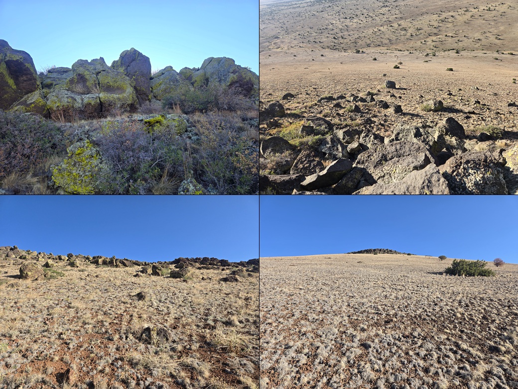
The uphill grind went quickly, gaining about 300 feet. The rocks up high were backlit by the sun so I had difficulty in actually seeing any detail. Down low, they didn't look so big, but once upon them, they formed heaps and cliffs about 20-40 feet high.
I walked along the lowest rock margin, looking for a way up. Surprisingly, it was pretty uniform, not even a messy chute to offer. I finally found a spot where one massive rock had dislodged itself and rolled partially down hill, leaving behind a way up. Even then, I had to use my hands and hoist myself up one part. Brush was thick as well.
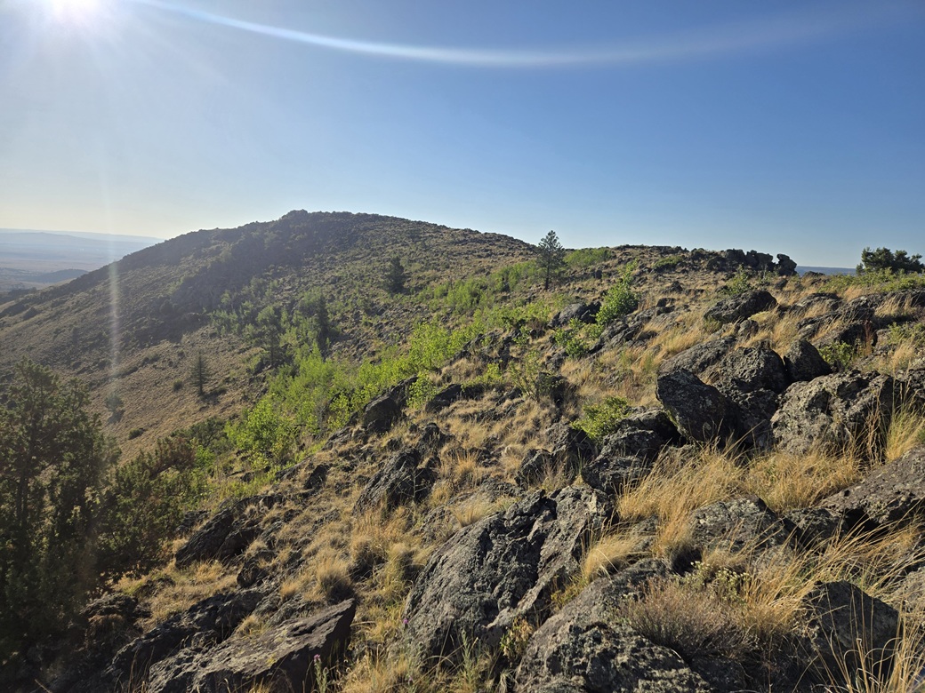
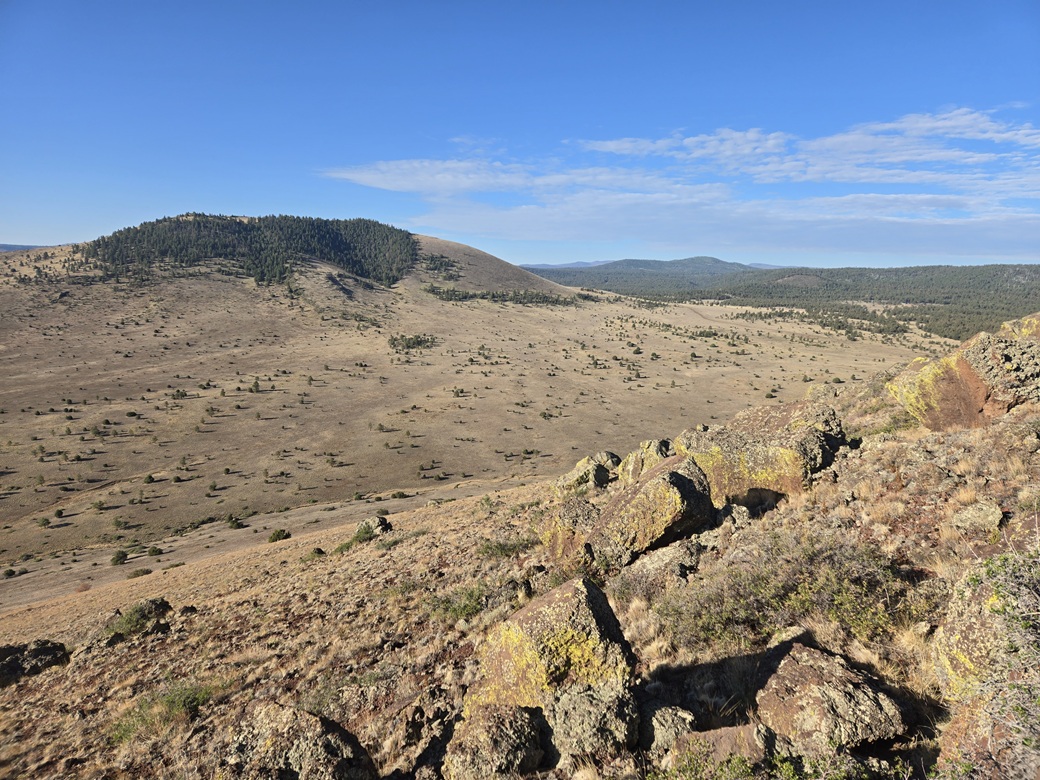
Now on the high ridge, I was in the sun and I had a good view of the whole area. The southern highpoint lobe rose ahead of me. To my left was the lowpoint in the crater rim, where the rocks seemed to be absent. The northern lobe was at the far end of the crater rim.
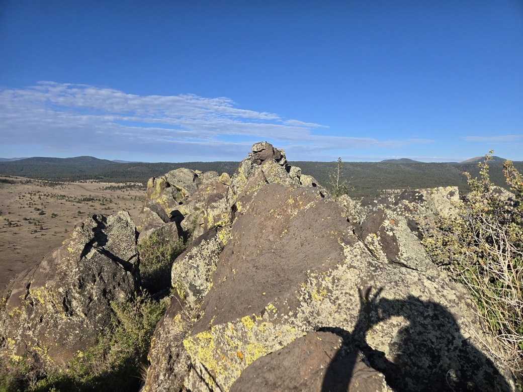
The hike to the highpoint was much easier now, still over a lot of rocks but easy to trod upon and hop from one to the next. When I got close, I could see the highpoint cairn atop a rock prow. From my side, it looked messy to get to it, so I descended below the highpoint rock, which forms a 15-foot high cliff here. I ascended the opposite side, then dealt with about ten feet of awkward rocks and heavy brush to situate myself beside the cairn.
I found the register and signed in. Amy P. was here two years ago. Not many signatures over all. It had taken me almost exactly an hour to get here. The footing at the summit itself was awkward, so I clambered back down a few feet where I could sit and stand more comfortably. My summit break lasted about five minutes.
I did not want to deal with the rock walls I had come up. As I walked along the ridge, looking down, there seemed to be almost no descent options. Interestingly, many rocks had broken off in ages past and rolled partway down the slope. The slopes featured large boulders just laying there randomly, probably some in the same position for many thousands of years.
Just east of the summit, I saw what looked like a break, so I descended to it. It was a break, although it still required my hands and about five feet of low cliff to clamber down. But once below that, it was just slope all the way down. I descended straight down, then angled right to aim for the road I had been on earlier.
Once below the mountain, I came to a fence which then met with that ditch. The ditch looked like someone had built it. It was lined with rocks and looked old. It may have been a natural drainage augmented by ranchers in years past. I found a spot where the fence was just a couple feet high, and hopped over it.
The rest of the hike went fast. I came back to the road, then followed it to my car, arriving at 7:50 a.m., a 1-hour, 50-minute round trip. It had been a fast and easy hike, with just enough rocks to make things interesting.
I drove back out to the highway, then began the long drive home. I passed into Springerville and Eagar, then followed US-180/191 into Alpine. This time, I stayed on US-180 into New Mexico and followed it about 75 miles south to the Mule Creek connector (NM-78). I had a peak or two along the highway that I thought I may hike, but by now it was getting very warm, into the 90s. I just kept driving.
Back in Arizona, I stopped briefly at the Black Jack campground to have a lunch, then made the long push home via Safford and Willcox, with just a gas stop in Willcox. I was home by 2 p.m..
It had been a good trip. I was only gone about 60 hours. I bagged 9 peaks, 8 of them ranked. The weather held steady the whole time. For mid July, this is about as good as one can expect.
Comments:
• The road past the Ellis Wiltbank Reservoir wasn't too bad. I stopped early due to concerns about high centering. But the tread was solid for another mile. Once near the ditch, it got rough, 4-wheel drive probably a good idea. In wet conditions, these roads look like they would get hopelessly muddy.
There was a sign back at the gate saying this road was a dead end. The maps show the road ends at the ditch. But it doesn't. It passes over the ditch and continues on. It looks to me like it connects in with other roads in the area.
I parked early also because I wanted a longer hike. On my previous 8 peaks, the longest I had hiked was less than two miles round trip. This one came out to about 4.5 miles.
• The rocks up high formed a formidable barrier, more than I was expecting. With some patience, the scrambling can be kept to Class-2. However, it seemed they formed heaps and voids, leaning awkwardly, and brush everywhere. The scampering could be very awkward at times.
|

|