
The Mountains of Arizona
www.surgent.net |
|
& White Mountain Apache Nation
Peak 8885 • Cooley Mountain I returned to the Show Low area to partake in the local cultural attractions, mainly its peaks. I had about a dozen in mind, but as usual, would adjust my schedule as things progressed. My plan was to leave Bisbee early today, thinking a 3 a.m. start would do. The weather has been warm and rainy, mainly in the south, but not as bad farther to the north. Yesterday (the 11th) Bisbee was hit by some very intense rain squalls, about an inch per hour, the kind that cause little rock and mudslides across the roads. I had my stuff packed and staged, and planned to sleep a couple hours, then hit the road. But I couldn't sleep. So I just got up around midnight and packed the car, then went back inside to sit for a bit. That's when the power went out. Now there was no reason to stick around. The power goes out often during these storms. I started the long drive at 1:15 a.m.. Being so early, there was no traffic. The storms had moved on and it was calm at first, but when I got to Willcox, I met up with the storm cells and hit heavy rain for about 20 minutes. Past Willcox, the storms subsided. I drove into Safford for gas and something to drink, then into Globe and then north ("eastbound") on US-60. As I hit the high country where the highway then dips into the Salt River Gorge, I pulled into a camping area. I needed a quick cat nap. It was 5 a.m. and the eastern sky was barely lighting up. A half hour later, I felt sufficiently rested. I resumed the drive, down into the gorge and up the other side. I took the Whiteriver cut-off (AZ-73) and by 7 a.m., was in the Hon Dah area, southeast of Show Low, where highways AZ-73 and AZ-260 meet. I stopped again for something to eat at the gas station minimart. My plan was to drive east on AZ-260 about 25 miles to the highway's apex, north of the Sunrise Ski Area. I had Peak 9392 (9387 on the map) in mind, a peak I had left undone on other visits to the region. Then I would double back toward Show Low and figure it out from there. I got onto Apache-Sitgreaves Forest Road FR-117, the one that leads to Greens Peak. Near Greens Peak, I went west on FR-61 and followed it a few miles. I was looking for FR-583, which I found. I followed it a mile northeast to its apex, elevation 9,080 feet. The peak rose about a half mile to the northwest. I did not like how forested it was here. I could not even see the peak in the trees. I bailed and tried Plan B, which was to get back on FR-61 and head west a little bit, into CC Flat. I found a lesser track (no number), but it was open here, and I could see Peak 9392 about a mile in the distance. It was about 8 a.m. now and I had been driving almost 7 hours and was really itching to get hiking and bag a damn peak. I parked in the open and started walking. The meadow portion went well. I just aimed on a direct bearing toward the peak, which was covered in ponderosa forest. In the trees, visibility was limited. I tied ribbons to limbs to track myself. I kept at this for about twenty minutes but never seemed to go "up". Had I skirted the peak? I could not tell. I was losing interest fast, so I returned to my car, defeated. In retrospect, the shorter route from FR-583 looks best, and I'd want a GPS track to follow. Now I know better. It was close to 9 a.m. now. The weather was sunny and pleasant, but warm and obviously humid. The skies were mostly blue but some small puffy clouds were starting to form. I figured I had three more hours before any storms started to develop. Back on FR-61, I followed it north and west about four miles. It loses almost a thousand feet and in some places, the tread was rocky. I came to FR-96, signed for Porter Spring 4 miles away. I followed this road, which was good at first, then narrower and rockier. This led me toward an area I had been to once before, in 2023. I had one peak in mind, Peak 8885. I had tried it back then but bailed on it, for reasons I don't remember (probably weather related). I had a map for this peak and now here I was, ready to take my chances on it again. By now, it was about 9:30 a.m..
Date: July 12, 2026
• Elevation: 8,885 feet ✳
• Prominence: 325 feet
• Distance: 0.7 mile
• Time: 30 minutes
• Gain: 365 feet
• Conditions: Sunny and humid
Arizona
•
Main
•
PB
•
LoJ
•
Interactive map
Peak 8885 lies on the boundary of the Sitgreaves portion of the Apache-Sitgreaves National Forest, and with the White Mountain Apache Nation. It is also heavily forested. Two side tracks branch off the main road, FR-96A on the east side, and FR-96G1 on the north side.
I drove to FR-96G1 and parked. There is a fence and stile here. Suddenly I remembered this. I passed through the stile and got in about twenty feet. Suddenly I remembered why I bailed three years ago. Beyond the stile, there is no hint of road or trail, just heavy forest and brush. Back to my car, I went back to FR-96A, which leads to Porter Lake.
This road was marginal, but I was able to ease the car in about a half mile, due east of the top. I was already dressed and ready from my aborted hike so I was on the move in moments.
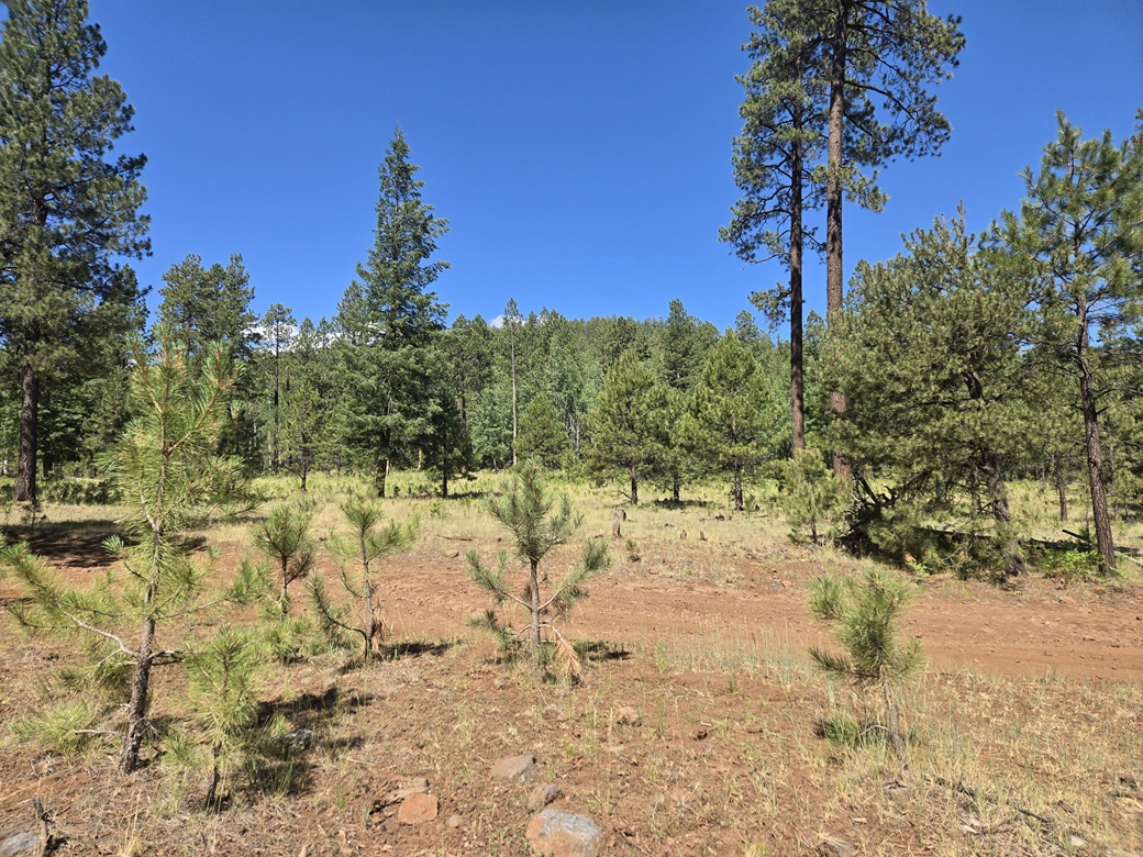
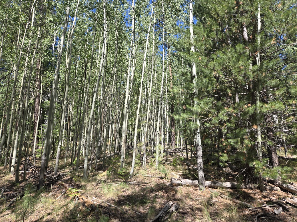
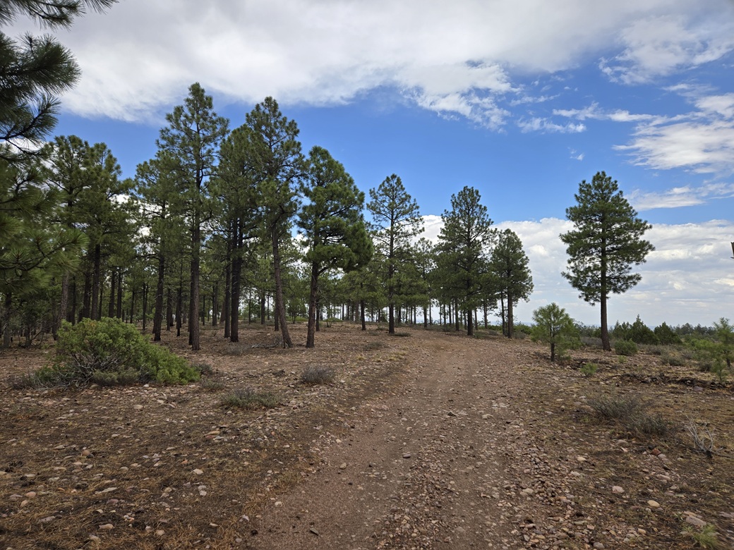
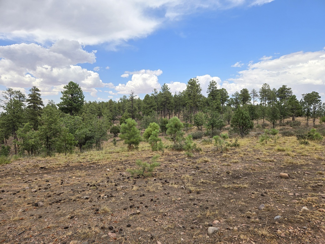
I just aimed west and started uphill. I came to a thicket of Aspen (or more accurately, a single organism of Aspen) and after that, into more ponderosa. I tied ribbons to trees so I'd stay on a proper bearing on the hike out.
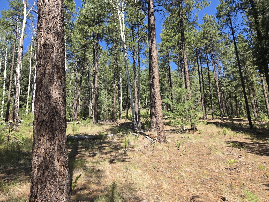
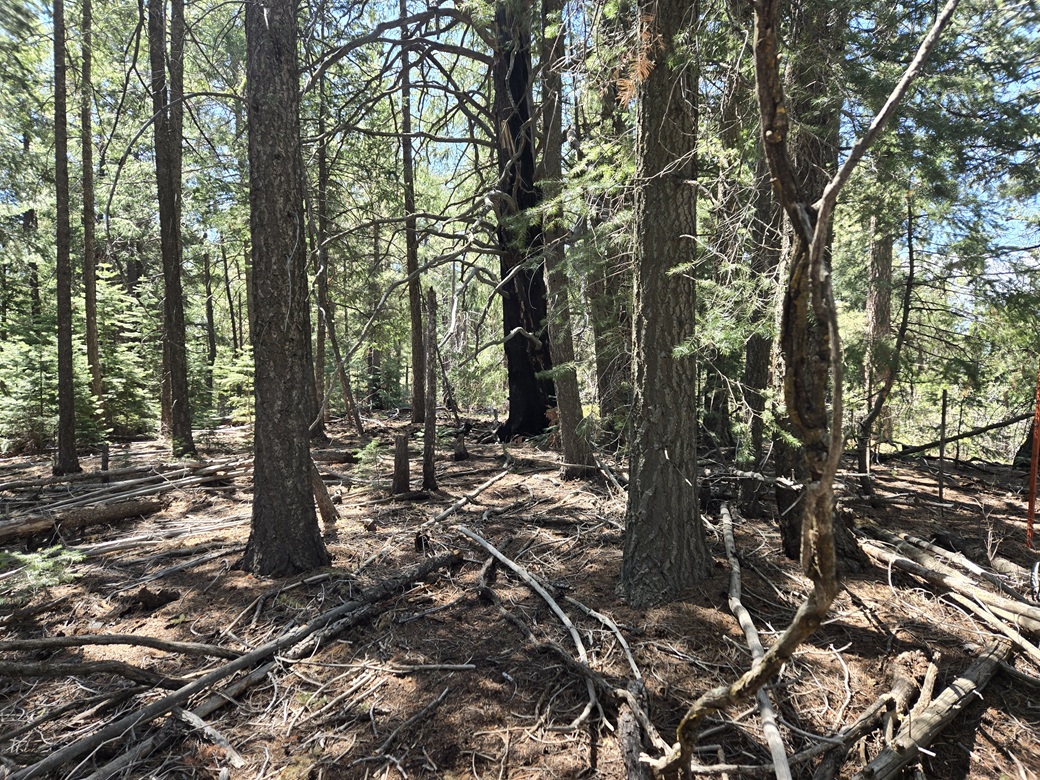
The hike was a steep uphill grind, and in about 15 minutes, was at the top. It was wooded with no views. A fence ran across the top. I found the register in a pile of branches abutting a tree, and signed myself in. I did not stick around.
The hike down went fast, just going from ribbon to ribbon, out to my car. I had been gone just 30 minutes. It felt good to get this peak done. It's nothing special, but close to 9 hours since leaving home, I was happy to get one done.
Back on FR-96, I followed it about five miles to FR-224, also signed as Apache CR-3140. I aimed southwest and nine miles later, I was in McNary, on the White Mountain Apache Nation.
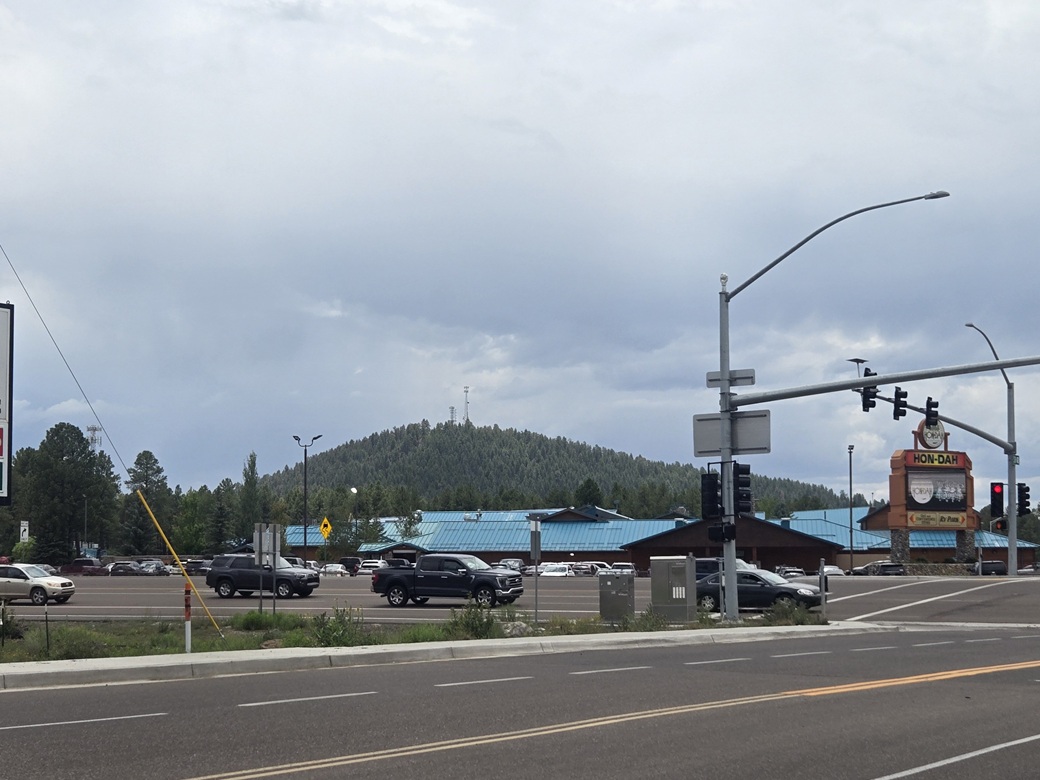
Today being Sunday, there was some sort of big tent revival thing going on with loud music, and apparently jam-packed with cars in the lot. This bode well for me as my next two peaks were on the White Mountain Apache lands and the fewer people out and about means more elbow room for me. I drove into the parking lot at the Hon Dah Casino, got on my device, and got a day permit from the White Mountain Recreation department.
Elevation: 7,720 feet
• Prominence: 500-520 feet
• Distance: 1.8 miles
• Time: 50 minutes
• Gain: 480 feet
• Conditions: Warm and very humid, clouding up
PB
•
LoJ
My next two peaks were close by, Cooley Mountain to the south about two miles, and Kinney Mountain to the east about three miles, back near McNary. According to the map on the White Mountain Apache site, these two peaks were on "open" land. About 70% of the White Mountain Apache Nation is closed to outsiders. Much of it is extremely rugged and remote canyon country with few roads.
Even though I had a permit and the peaks seemed to be open, I still wanted to lay low and not attract attention to myself. Cooley Mountain has towers at its summit and an access road that branches off highway AZ-73. But following that road would leave me exposed to prying eyes.
From the Hon Dah Casino parking lot, I went south on AZ-73 about a half mile. I found a track that went into the trees. I just picked it at random as it looked promising. This track was rough but driveable, mostly uneven tread and one big mud patch to deal with (in wet weather, the whole thing looks like it would be one big mud pond).
I went in less than a half mile and came upon a much better track. I went south, and when it veered east, went right across a cattle grate, going south. I kept going until I came to some power lines going east-west. I had driven about a mile total from the highway. The road here became much steeper so I parked. I was happy because I was close to the peak and well-hidden from passers-by.
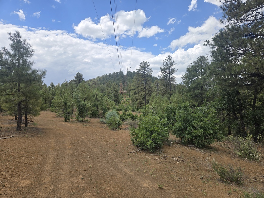
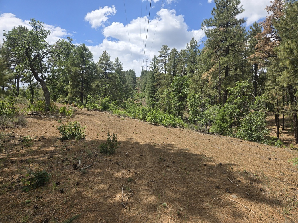
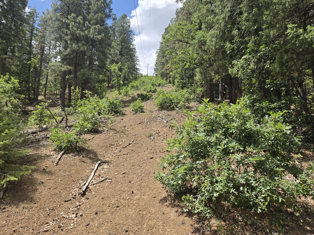
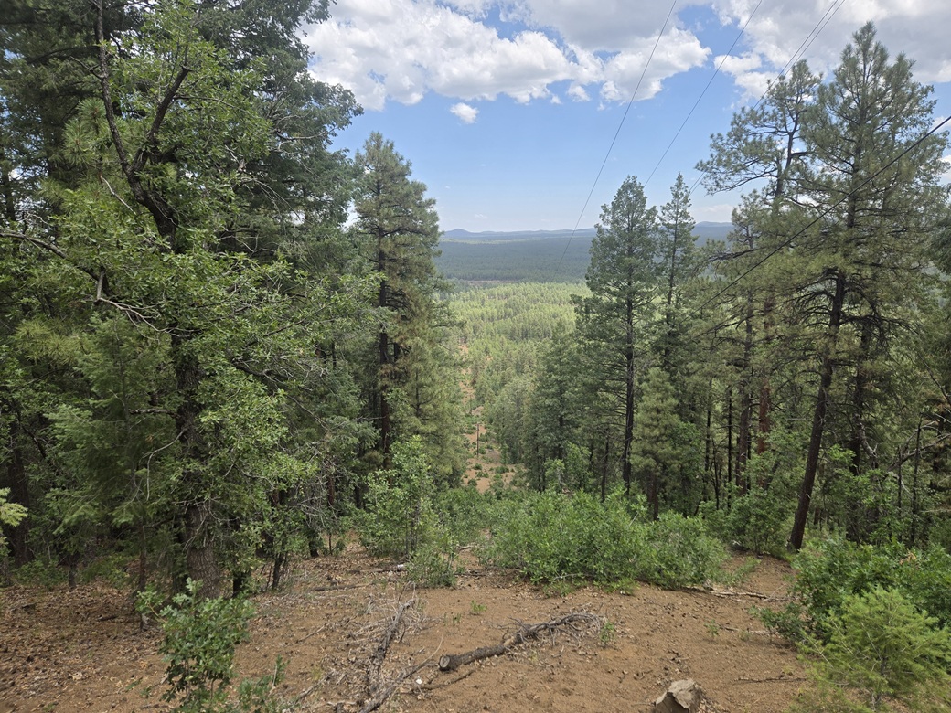
I walked up the east track along the power lines, then went right (south), the power lines now going up toward Cooley Mountain. There is a clearing cut into the forest for the power lines, and this is what I followed. At first, the grade was lenient, but then it steepened.
For most of this segment, I actually went into the trees where I had shade and better footing, always keeping the clearing in sight. In about a half hour since starting, I arrived to the summit and its towers.
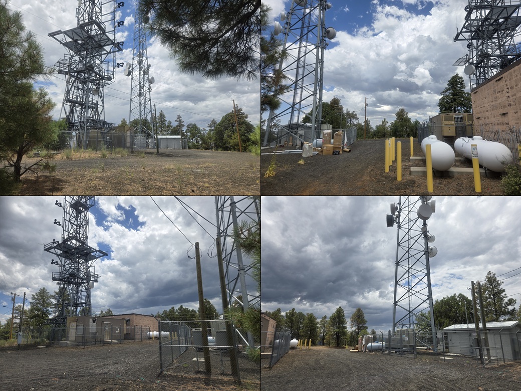
The summit has been flattened to accommodate two large towers. They were inside fencing with the usual warnings and prohibitions. The highest ground seemed to be under some propane tanks, but to be sure, I walked around both towers. Nothing inside seemed obviously higher. I never really stopped. I snapped a few images.
By now, it was a lot warmer, into the mid 80s, but it was also completely clouded. It was uncomfortably humid. But it was calm. There was no rain or storminess nearby. Nevertheless, I did not tarry. I headed straight down.
The downhill hike went fast as I had gravity and loose gravelly slopes helping me to descend. The outbound hike took fifteen minutes, and I had been gone less than an hour. My car was right where I left it. I never saw any other boot prints. I saw horse-shoe prints, and the usual game prints. People on feet probably don't get back here too often. I drove out and placed myself back on AZ-73.
Cooley Mountain is named for Corydon Cooley, a rancher in the area in the 1860s-70s who co-owned a spread with another rancher. They agreed to a card game to see who would keep the property. He who drew the lowest card would win. Cooley drew the Deuce of Clubs, "showing low". This begat the town of Show Low, and where highway AZ-260 passes through, it is named Deuce of Clubs Street.
(This story is based on fact ... but is not as simple as it may seem. I encourage you to research this a little more and learn more about the finer details about this apocryphal story.)
Elevation: 7,636 feet
• Prominence: 336 feet
• Distance: 1.5 miles
• Time: 40 minutes
• Gain: 260 feet
• Conditions: Cloudy, humid
PB
•
LoJ
I returned to Hon Dah but did not stop. I drove back east the three miles to get near Kinney Mountain. This forested peak is visible from the highway (AZ-260) with a thin tower sticking up above the trees. An old gravel mine lies on the north slopes of the peak.
In McNary, I followed Ranger Road south about a half mile. Where it bent left, I stayed straight, now on a dirt track, dropping into a basin. I stayed on the road as it bent southwest, then west. The topographical maps show most of these roads. Things seemed to be lining up.
I went north on the first road I could, and then at any junction, went north and/or up, creeping in about a half mile before the road became too rough for my vehicle. I parked off the road. The forest was very thick here, with no long-distance views.
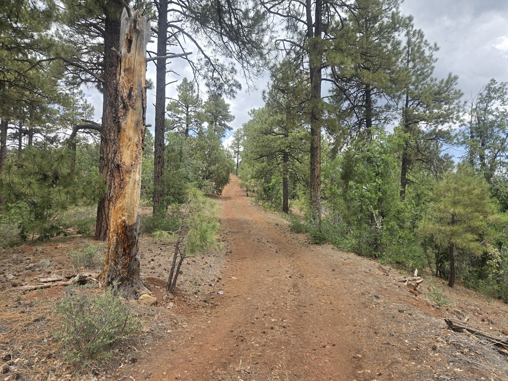
I walked up the road. It became very rocky and steep, then bent left, then right, coming to a water tank. The road passed it on its left and stayed steep and haggard. It came to another road, this one much better. Where it originated, I don't know.
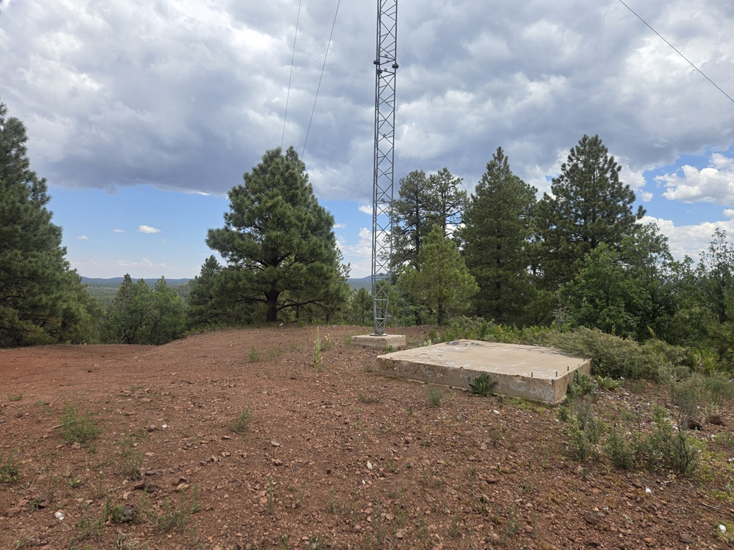
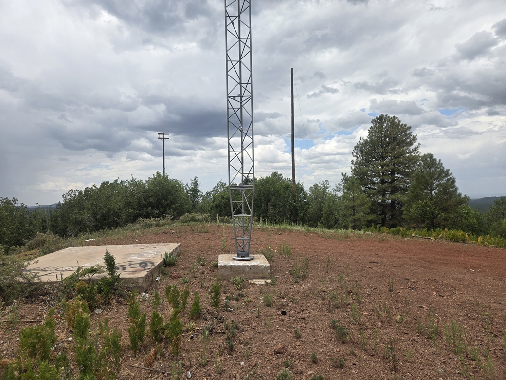
The road then just curled up and to the left to the summit. The lone tower stood tall, with a couple concrete pads nearby. The whole area was trashed and graffitied. I found no cairn nor register, and took a look for the "McNary" benchmark, with no luck. I did not stop. It was an ugly summit that gave me a bad vibe.
The hike down went quickly. The whole round trip took a little over a half hour. I was happy to get this peak in. It wasn't an interesting peak, but it counts.
On the drive out, I must have missed a turn. I was on a good road so I followed it. This road led right to the highway, next door (so to speak) to the gates blocking off the old gravel mine. I drove right past it earlier and never saw it.
There were no fences, gates or prohibitive signage anywhere on the drive or the hike. I saw two young guys walking the lower roads, and that was it. I could hear the music from that tent revival nearby. It was just across the highway.
Believe it or not, it was still not yet noon. I'd been on the road since 1:15 a.m., bailed on one peak, got three more done. It was now fully clouded up, warm and very humid. I had a hotel reserved in Show Low, but it would not be ready until 3 p.m..
I stopped in at the gas station in Hon Dah. They were selling gas for about 40 cents per gallon cheaper, so naturally it was full of cars. I got in behind one at a pump and just waited for them to finish. As I was getting gas, an indian guy saw all the dust on my car. I didn't want to tell him where I'd just been so I told him I was up on the forest lands and had come down through McNary, which was true ... a couple hours ago. He was friendly, just wanted to chat.
I then drove about 15 miles through Pinetop-Lakeside, then Show Low. I had some time to kill. I had a perfect excuse to help kill some of it, a little ridge point to the west, Hub Point.
Elevation: 7,161 feet
• Prominence: 301 feet
• Distance: 0.3 mile
• Time: 10 minutes
• Gain: 20 feet
• Conditions: Some rain, distant thunder
PB
•
LoJ
Hub Point rises about fifteen miles west of Show Low, south of AZ-260. This is not part of the Spingerville Volcanic Field. It is the plateau atop the Mogollon Rim. The land here is low hills with no obvious prominence. Hub Point just so happens to barely poke above the 300-foot prominence barrier. It is the only ranked "peak" in the region.
I drove the AZ-260 past the community of Pinedale. I wanted FR-132, but it's actually a branch off of Scotts Lane. I drove past it at first, doubling back when I realized my error. I was on Scotts Lane about 50 feet, then south on FR-132, called Pinedale Ridge Road.
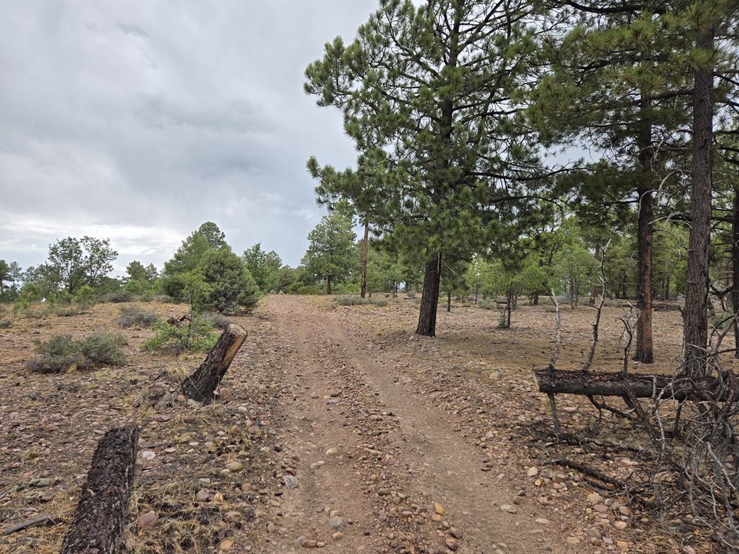
This road is wide and in good shape, a little rocky but not too bad. It was drizzling now and there were puddles in the road. I went about 20 miles per hour. The road has mile markers, which is convenient. I went left at a Y-junction at mile-marker 5, this road not shown on the map.
This secondary road cut east, now "on" Hub Point, which seems to be the name given to the whole rise, not just the top, wherever it was. About a half mile later, I went left (northeast) onto a lesser track, and parked. The highpoint was up ahead, so says the map and Lidar. Visually, it's hard to tell.
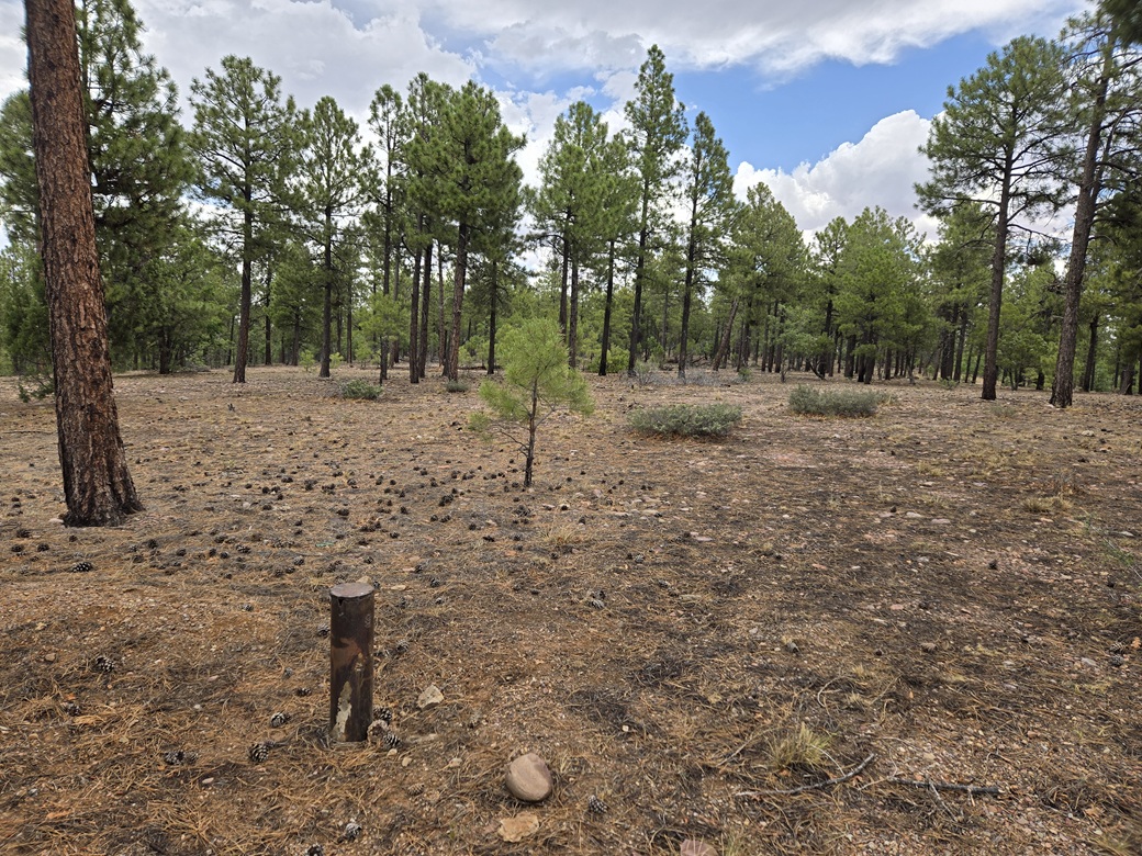
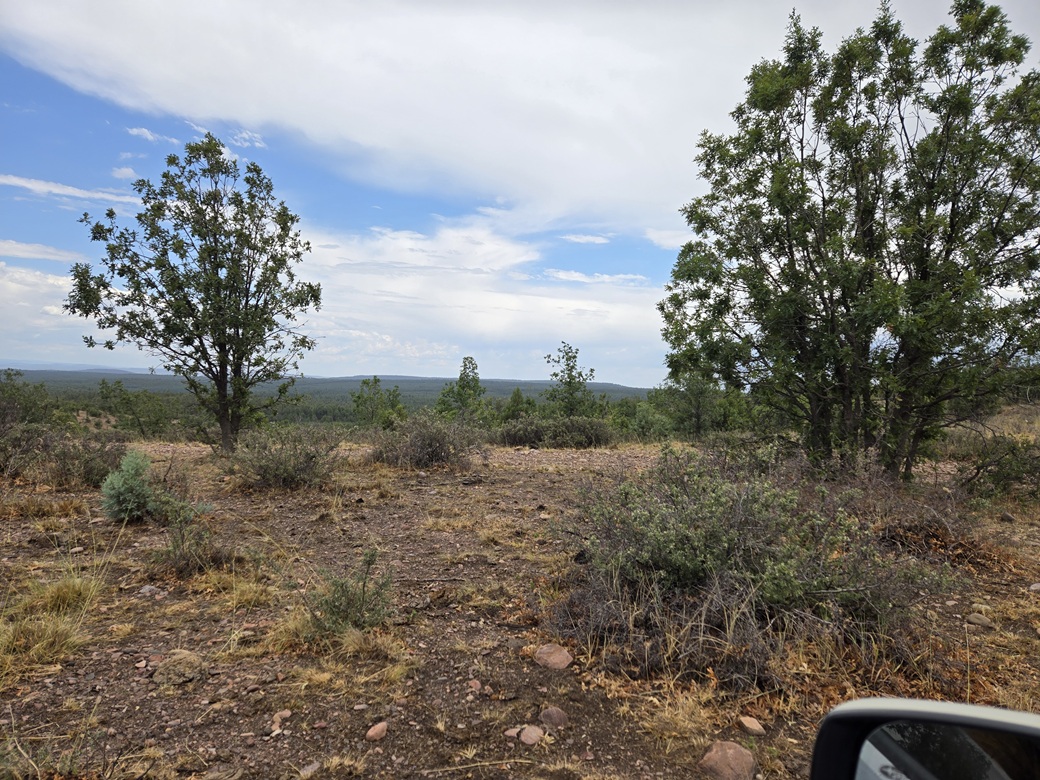
I got out and strolled to the highpoint area, then a little past it to another rise, then back to the first area. I walked around looking for anything like a cairn or marker. I saw nothing, except for an odd steel tube sticking out of the ground, its purpose unknown to me.
The walk took just ten minutes. It was more of a meander than a directed walk. The rain had ceased but it was now thundering somewhere in the distance. I did not see any lightning, but I did not waste time. I was satisfied I stepped on or near the highpoint at some point, statistically speaking.
This nondescript peak was minorly momentous: it is the only ranked peak on its USGS quad map so I trivially completed yet another quad as a result. It was also the last remaining ranked peak I needed to finish off the entire set of ranked peaks in the Sitgreaves portion of the Apache-Sitgreaves National Forest. There are 19, and I had done 17. Peak 8885 from earlier today was number 18, and this little guy was number 19.
I got back in my car and headed out. It was about 2 p.m. now. I hadn't hiked very far total, less than 5 miles, but my first three hikes had been steep and I had been up now essentially since yesterday morning. I was exhausted. I headed back to Show Low.
I stopped in at the Safeway for groceries, then got to my hotel right at 3 p.m. and checked in. I didn't last very long. I was asleep by 7 p.m..
Tomorrow, I would concentrate on some peaks northeast of Show Low, along the US-60 corridor.
|


|