The Mountains of Arizona
• www.surgent.net
|
| Cerro Quemado |
• White Mountains • Springerville Volcanic Field • Apache County |
|
Date: April 18, 2020
• Elevation: 8,100 feet
• Prominence: 480 feet
• Distance: 2 miles
• Time: 1 hour exactly
• Gain: 620 feet
• Conditions: Some high clouds, cool with a breeze.
Arizona
•
Main
•
PB
•
LoJ
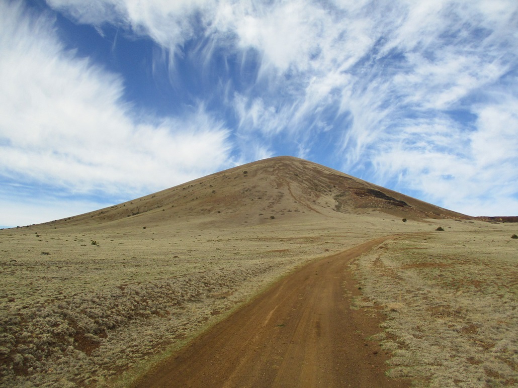
Cerro Quemado ("Burnt Hill") is one of the many dozens of volcanic hills that lie on the Springerville Volcanic Field, north of White Mountain and about 30 miles east of Show Low. I had on my agenda today a handful of these cerros, all lying close to US-60 in case the dirt roads were too muddy to drive.
I left home before dawn, heading east, which meant when the sun did rise, I had it directly in my eyes for a few minutes as I motored eastbound. I stopped for gas in Heber and then for snacks in Show Low. Traffic was light and there weren't many people out this early. I was in Show Low a little before 7 a.m..
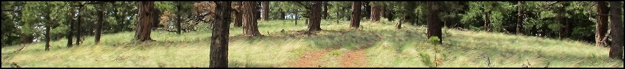
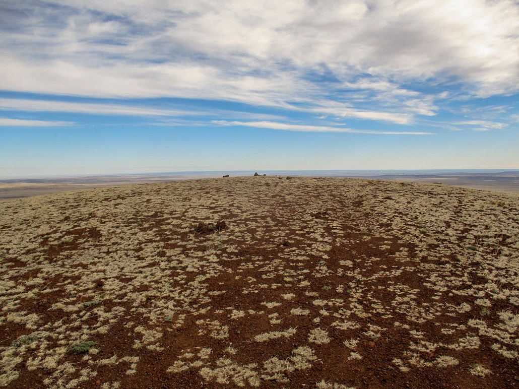
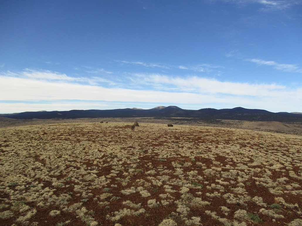
I wanted to return here to visit these mounds of "lapilli", which always fascinate me. These hills tend to be symmetric and rounded, with dramatic rises above the plain below. The hikes don't take long, so I can visit a bunch in one outing. Matthias and I were here last June, which got me thinking about this area. Cerro Quemado would be the farthest away from Show Low, so I drove to it first, then would visit the other peaks as I drove back toward Show Low.
From Show Low, Cerro Quemado is nearly 30 miles away. I rolled in about 7:20 a.m., easing off the highway onto a dirt track north of the peak. The road was actually quite good, so I drove in a little under a mile, parking below an old gravel mine. I suited up and started walking at 7:30 exactly.
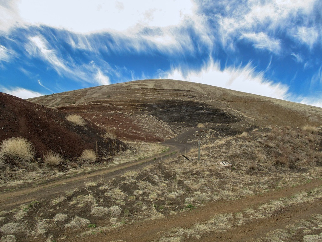
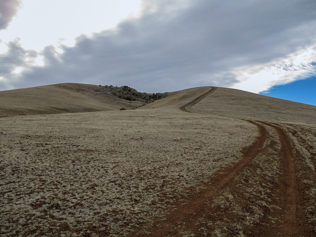
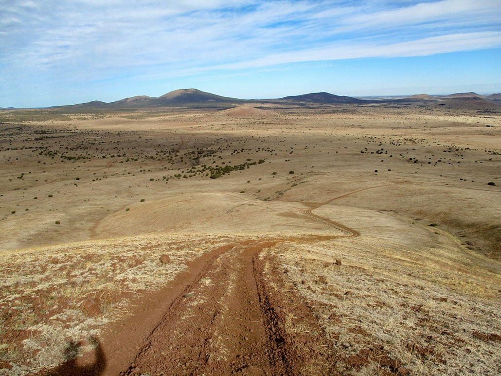
Past the mine, the road gains steeply up an incline, this section of road being in bad shape for the 100 feet it takes to gain this slope. Above the incline, the road now cuts south, mostly level, across a treeless buttress covered in low grass and uncountably-many little volcanic stones. Another road, coming in from Forest Road 117, meets this road, which then swings east and steeply up the main southwest face of the peak.
This segment gained about 250 feet and was quite steep, but easy. There were no big rocks, and the little rubble stones generally held my feet, not sliding backwards as volcanic slopes like to do. I was soon on top this steep portion. The rest of the hike was up a much gentler slope, the road bending northeast now.
The summit is a rounded, vacant hump of rock and rubble. The map says a benchmark "Bare" should be here but I saw nothing, and it was probably yanked out and taken away before I was born. I had a layer of clouds for the hike up, then they started to move on, allowing more sun to shine through. It was breezy and cold, in the 40s.
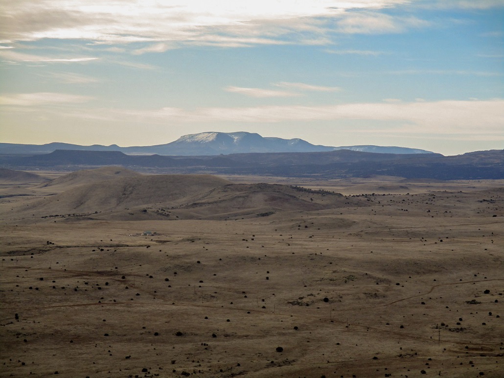
From this perch, the views were impressive. I could see dozens of hills to the west, south and east, and long flat plain to the north toward Holbrook. The higher peaks such as Escudilla and Saint Peters Dome still had snow, from last week's sudden late-spring storm, the one that caught me up on the Rim closer to Payson. However, down "low" where I was, there was no snow at all, and the roads had dried out nicely.
I hiked down the same way, snapping more images. I was back to my car at 8:29... which turned to 8:30 as I started the engine. Thus, I had hiked exactly an hour. I gauge the distance to be about a mile each way, with about 620 feet of gain.
My next objective, Cerro Montoso, was visible, about ten miles to the west. I would be there in less than 15 minutes.
|

|