
The Mountains of Arizona
• www.surgent.net
|
| Mount Davis & Western Crag |
• Bradshaw Mountains • Prescott National Forest • Yavapai County |
|
Date: September 2, 2026
• Elevation: 7,906 feet ✳
• Prominence: 306 feet
• Distance: 4.5 miles
• Time: 2 hours, 25 minutes
• Gain: 1,110 feet
• Conditions: Gorgeous, no gnats
Arizona
•
Main
•
PB
•
LoJ
Mount Davis is the second highest ranked peak in the Bradshaw Mountains, trailing Mount Union by about 80 feet. The two peaks lie beside one another, Davis to the north of Union. Until recently, its summit elevation and prominence were just guesses as the maps did not provide a spot elevation. Lidar has affirmed that the peak is at 7,906 feet, with 306 feet of prominence.
The peak was supposedly named after Jefferson Davis, president of the Confederacy during the Civil War, by sympathetic miners here during that time. Miners sympathetic to the Union side thus named the higher peak to the south Mount Union.
I was back in Prescott on my Wednesday "day off". I arrived in town very early this morning and hiked Peak 5642 in the Granite Dells. I finished with that peak at 8:15 a.m., then headed in this direction for Mount Davis.
I followed Walker Road southbound off highway AZ-69. The road is paved for the first 7 miles or so, then decent dirt for the remaining four miles to Potato Patch, the small village at the base of the peak. Some parts of the road were very steep. When wet or in snow, this road looks like it could shut down or be impassable.
I rolled into "downtown" Potato Patch, where the main road meets Poachers Row at a T-junction. A trio of hikers were standing about and I asked them about parking in the area, this being private land. They mentioned they parked a little to the west on Forest property, but were unsure about hiking up Poachers Row given the many posted notices.
There were plenty of signs attesting to the private properties, but nothing about the road being closed to hikers. I told them I was planning to take the Dandrea Trail (Tr #265), which starts at the end of Poachers Row. They were planning to go to Mount Union. They seemed more comfortable to hike up the road after our brief talk.
I went right at the T-junction and about a quarter mile later, turned onto a rough track where the forest boundary was signed (signed as the Issabella Trail). I parked just beyond the sign. One other car was here, this presumably belonging to the hikers. I was already dressed from my last hike, so I was on the move quickly, the time about 8:55 a.m..
The road walk was easy, just following Poachers Row uphill past a few homes to the forest boundary. I even saw a few people who did not mind my presence. However, I felt that parking where I did was smart. They may not have been so accommodating had I parked along the road in front of their home.
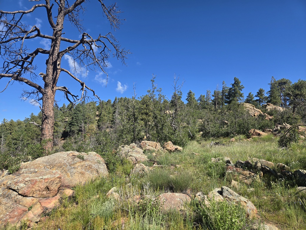
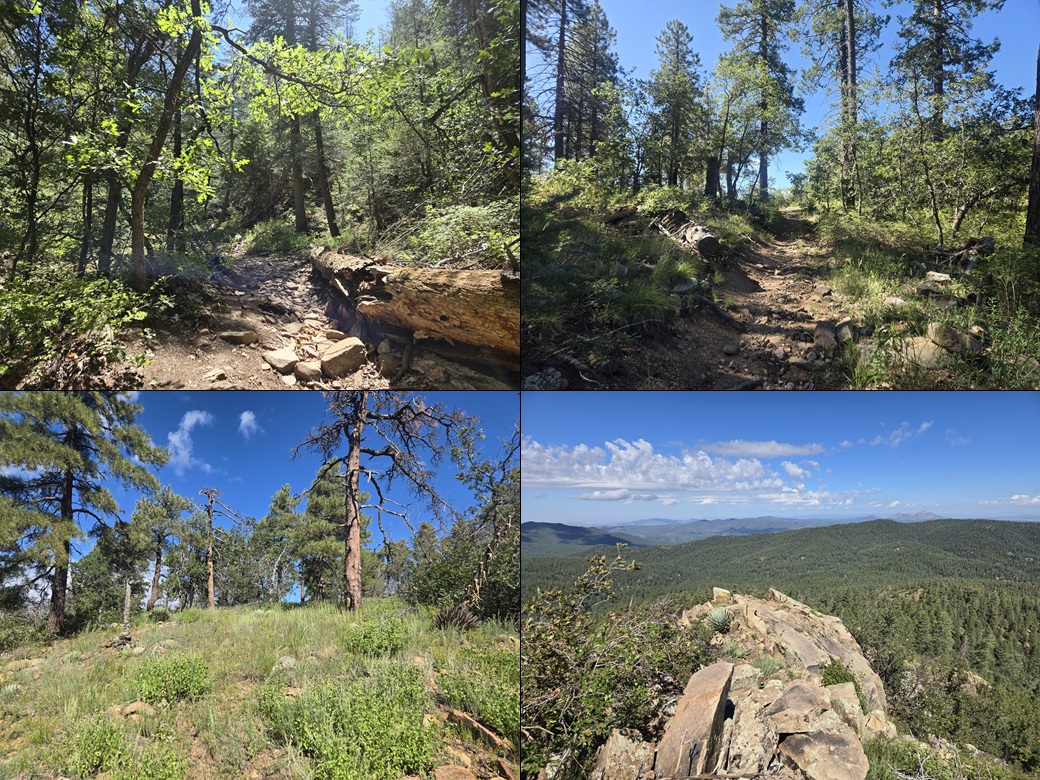
In about ten minutes, I was at the end of Poachers Row. The road went from good to nasty immediately. Some large rocks block vehicular access, the road now a wide ATV track. For hiking, it was decent, but often very rocky. The tree cover was very heavy so there were no views. I just put my head down and hiked. In another thirty minutes or so, I had arrived onto the high ridge, at the saddle between the two peaks. The hiking trio were here having a rest.
I sat on a nearby rock and had a break of my own, talking with them. I showed them where I was heading. They said they might try Mount Davis if they were up for it afterwards. They were a nice group of people. Our talk lasted maybe 5 minutes. They got moving, then so did I.
I briefly followed Trail 264 which skirts Mount Davis, but I was on it for just a few yards. A small cairn prompted me to start up a meager track. There was a path here but it was faint. It then petered out. I aimed up and just marched toward higher ground.
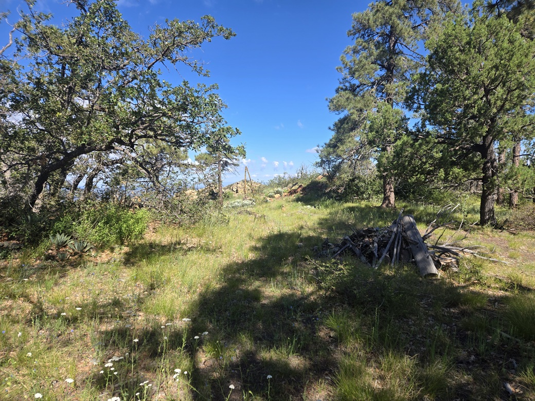
The route I followed led to a fence, which I squirmed under. There were cairns here too. I then bashed through some immature gambel oak into a grassy clearing, where I could see the peak for the first time, albeit under more trees. At least where I was, it was more open.
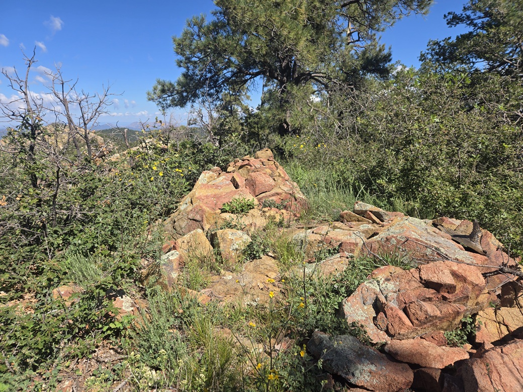
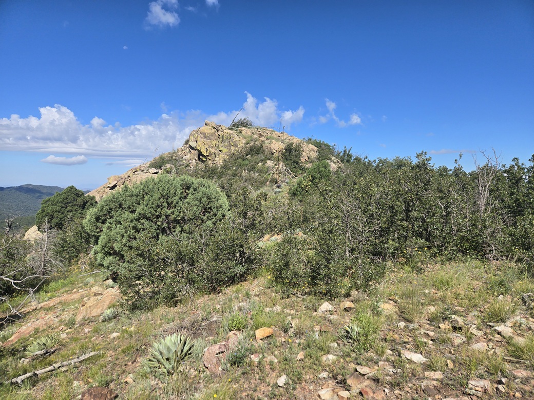
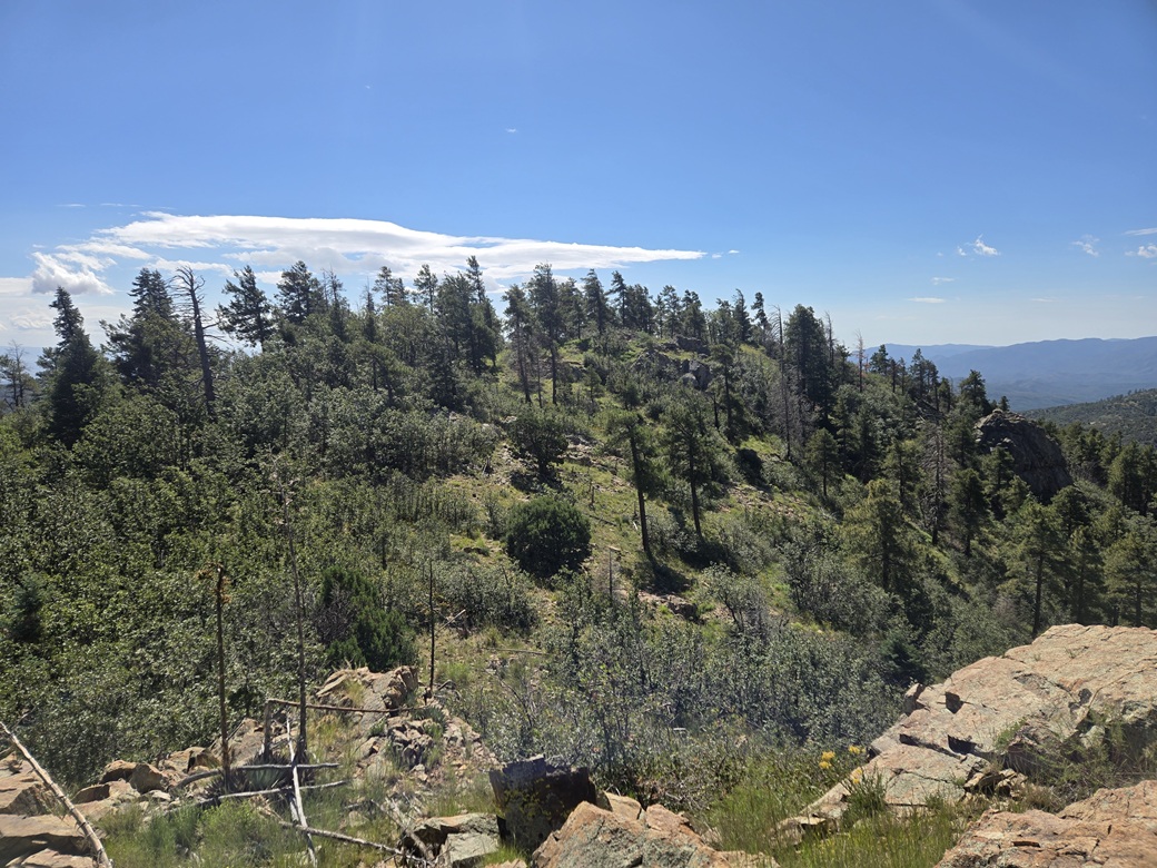
The path continued, very faint, but small cairns and some flagging delineated the route and I never got off route. It weaves through some lower rock outcrops, then up a grassy slope to the summit. The highest rocks were at the west end. It had taken me about an hour to get here.
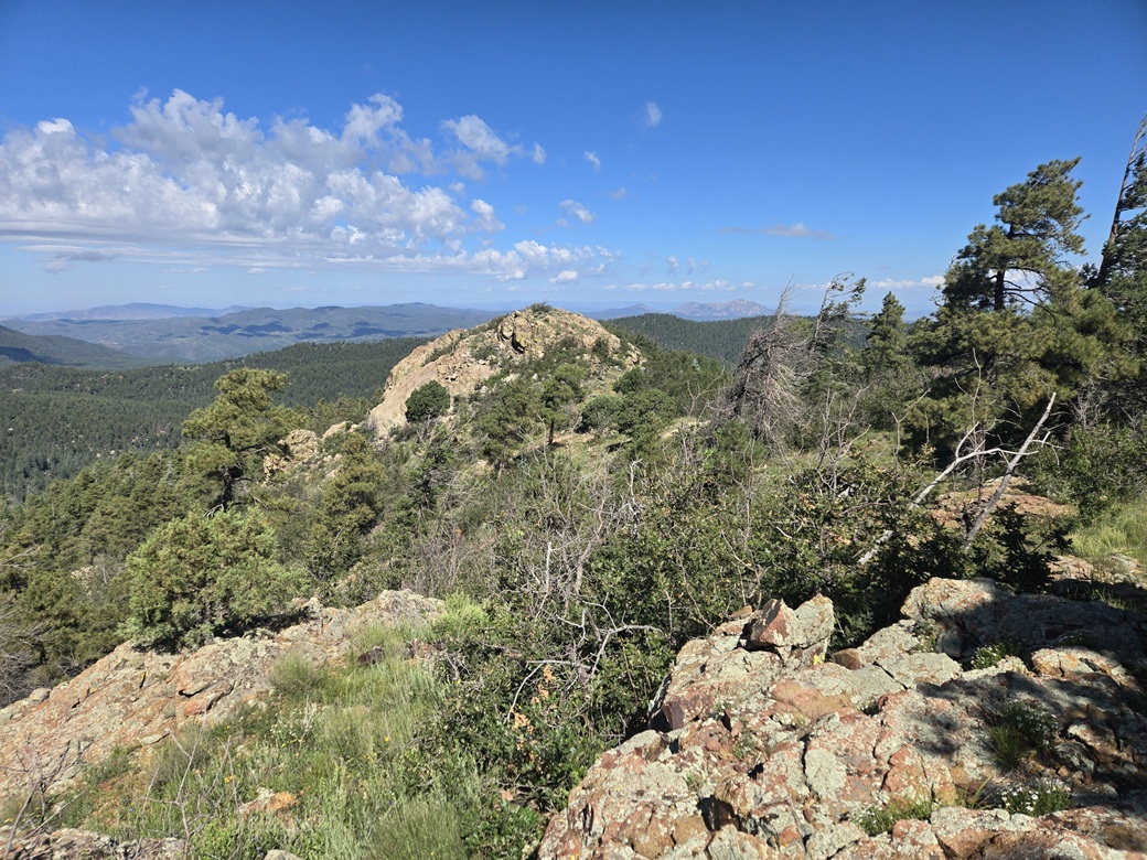
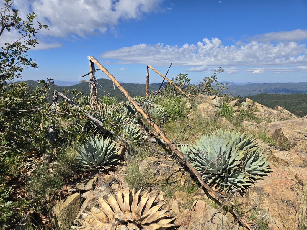
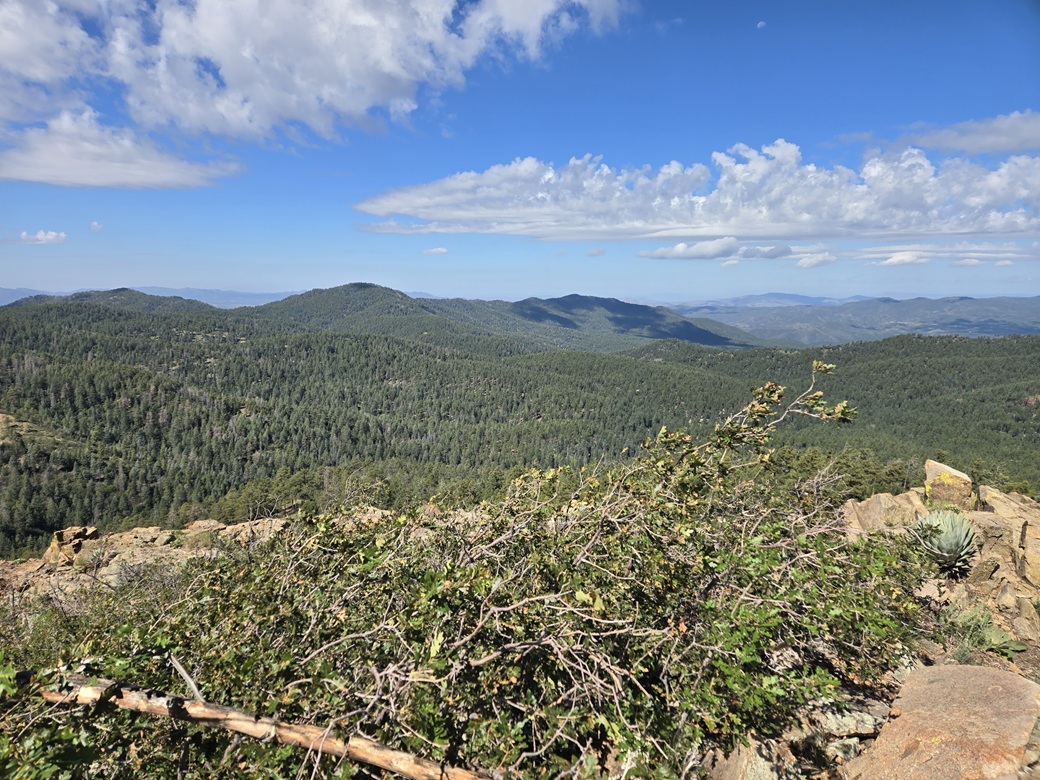
To the west was a rocky dome which looked as high as where I stood. I descended off this summit through more scrub, then to the base of the rocks. I found a line that required hands in one or two spots, and suddenly, I was on top this western crag. It was more open here with better views. The best part was the weather: sunny but pleasant, with a soft breeze. After last week's humidity and gnat swarms on Maverick Mountain, this was a welcome surprise.
I snapped a few images, and looked for a cairn or register, but found nothing. I then went back to the first summit and looked for a cairn or register there, with no luck. The side trip to the western crag took about fifteen minutes. Lidar reports that the western crag is 7,902 feet, with 38 feet of prominence.
For the hike down, I followed the cairns and ribbons. I found a path lower down I had not taken up. This led me right to the aforementioned saddle. Thus, it is possible and probably wisest to simply start into the trees from the saddle and give Trail 264 a miss. Just pick a line and the path and cairns will appear.
After a short rest, I started downhill back toward Potato Patch. The downhill hike went fast, but I had to watch my ankles on the rocks. The entire outbound hike took about an hour, and the whole round trip about 2 hours and 25 minutes. It was just a little past 11 a.m. now.
I had come to this hike thinking it would be a hot hike onto a tree-covered summit, but the weather was excellent, and the summits were open with great views. It was a prettier hike than I was expecting, and I enjoyed it a lot.
I headed back to the highway, then stopped in a Carl's Jr. for a coke and a snack, to relax a little, look at my phone for ideas, and decide what to do next. It was warmer now, but only in the low 80s. I opted to just head south back into Phoenix and my hotel. It was hot, about 105°, but about ten degrees cooler than last week.
After getting up at 3 a.m. this morning, I was tired. I showered and rested, then headed onto campus for a couple hours to do some work there.
|


|