
The Mountains of Arizona
• www.surgent.net
|
| Peak 5642 |
• The Granite Dells • City of Prescott Valley (part) • Yavapai County |
|
Date: September 2, 2026
• Elevation: 5,642 feet ✳
• Prominence: 441 feet
• Distance: 5 miles
• Time: 2 hours, 10 minutes
• Gain: 590 feet
• Conditions: Sunny with some clouds, very pleasant
Arizona
•
Main
•
PB
•
LoJ
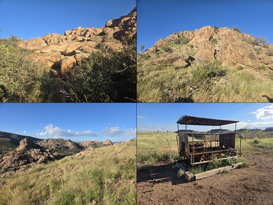
This interesting peak rises north of (and part of) the Granite Dells, a rocky wonderland about four miles north of Prescott. The Granite Dells are exposed granite outcrops forming cliffs, domes and some bizarre formations. Sources mention these rocks are 1.4 billion years old. I'd be walking on rocks that predated the dinosaurs by half a billion years.
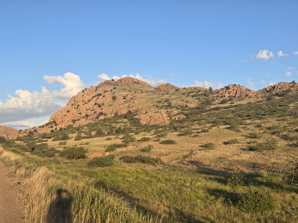
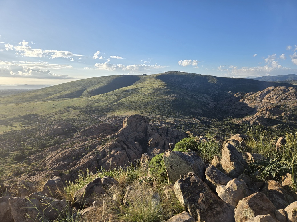
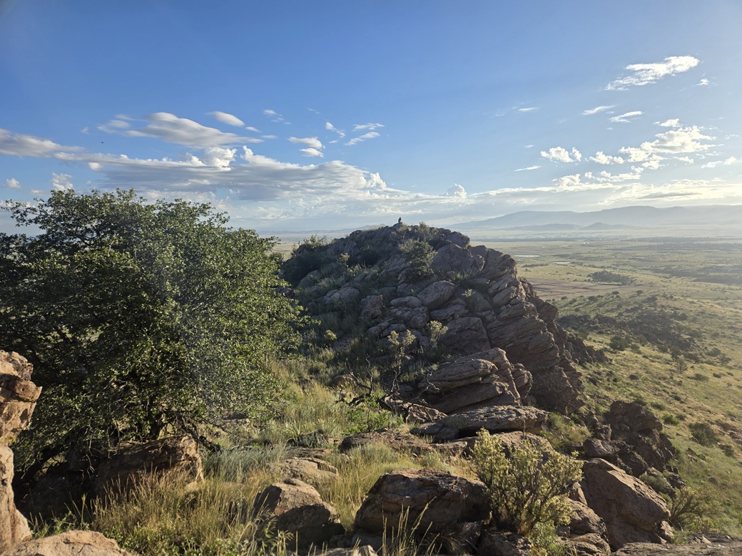
The peak itself (which has no name) is very rocky, with cliffs on its south and west faces, and longer grassy slopes to the east which offered a walkable way to the summit. The very top is a rounded dome that looked like trouble from below, but I was confident there'd be a scramble route up.
I admittedly knew very little about the Granite Dells beforehand. I had heard of them but never visited the area. The dells cover an area of about three square miles, with a couple lakes mixed in. They lie in an unincorporated area surrounded by Prescott to the south and Prescott Valley to the east. The rock is granitic and offers plenty of climbing routes. An old railroad ran through the dells a century ago. One other fascinating fact: the rocks contain relatively high amounts of natural uranium, although not enough to be dangerous.
I was back in Prescott on my Wednesday off day between teaching. I had another peak planned, Mount Davis about a dozen miles to the south by Mount Union. That was my main peak for the day's journey. This peak was an add-on, something to do afterwards.
However, I figured it may be smart to hike this one first as it is over 2,000 feet lower in elevation. While the weather was expected to be "warm" (80s), hiking it first meant I could take advantage of the cooler morning temperatures. So I put this one first on the agenda.
I left my hotel in Scottsdale at 3:50 a.m. and a couple hours later was in the Prescott Valley area, as the sun was rising. It was pleasant, in the low 60s, with mostly clear skies, a few wispy and puffy clouds in the distance.
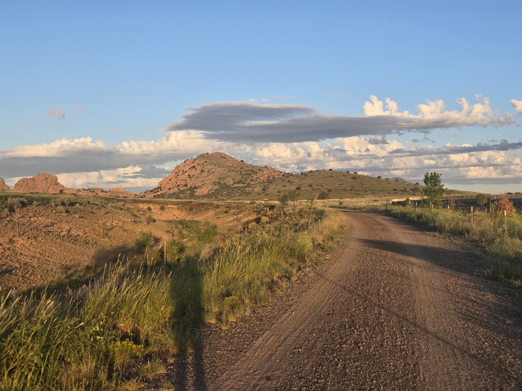
I intended to hike the Iron King Trail, the bed of the old railroad that ran through here before being taken apart. The trail is just a wide road, popular with the locals who live in the area. Even at 6 a.m., there were joggers, walkers and dog-walkers already on it.
The trailhead is at the northeast corner of Santa Fe Loop Road and Granville Road, about two miles east of the peak. I drove around newer development looking for a closer place to park, but didn't like my chances. I chose to go with the safe option and park back in that lot.
As I backed in, three women standing nearby waved at me. I got my stuff together and started walking at 6:10 a.m.. They apologized, thinking I was someone else. I didn't mind being waved at. At my old age, I'll take what I can get.
The walk was easy. The trail is sometimes just a sidewalk, other times compacted dirt, and very easy to walk. I could see the peak the whole time. It had nice-looking lines: cliffs and formations to the left and grassy slopes mixed with rock outcrops toward the center and right as I approached it.
I covered the two miles in about a half hour. I found a let-in point for a trail (the Kestrel Trail, I think). From here on up, I would be hiking through grass. I got out my snake gaiters and put them on, sprinkling on some magic hope dust to ensure the snakes would leave me alone. I hoped I wouldn't get bit.
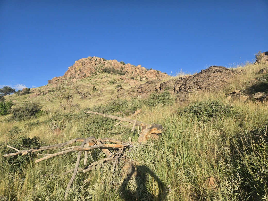
I just aimed toward the top. The grass was shin-high and sometimes dense to where I couldn't see the ground. In moments I came to the first rock outcrop and scampered up and through it to gain higher ground, and more grassy slope.
The slopes were gently pitched and easy to walk. There were plenty of smaller rocks to deal with, but nothing challenging. I was soon at the base of the summit dome. I could see a grassy chute that looked like a viable way up.
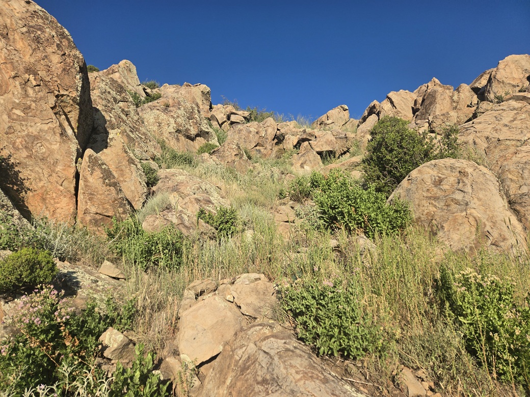
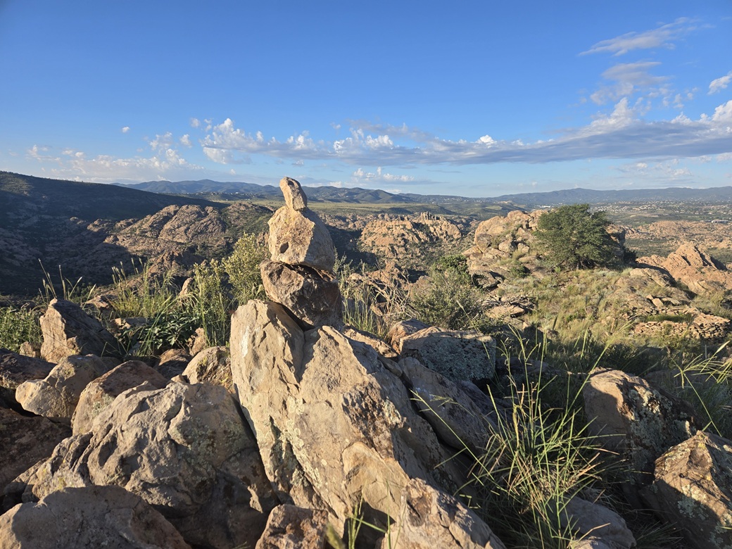
I angled left then up this chute, and even saw evidence of a path. It was steep but the rocks were steady. I had one six-foot section where I had to use hands and do some short scrambling to get up on part. Above that, it was an easy walk to the summit, topped by an interesting cairn composed of three balanced rocks.
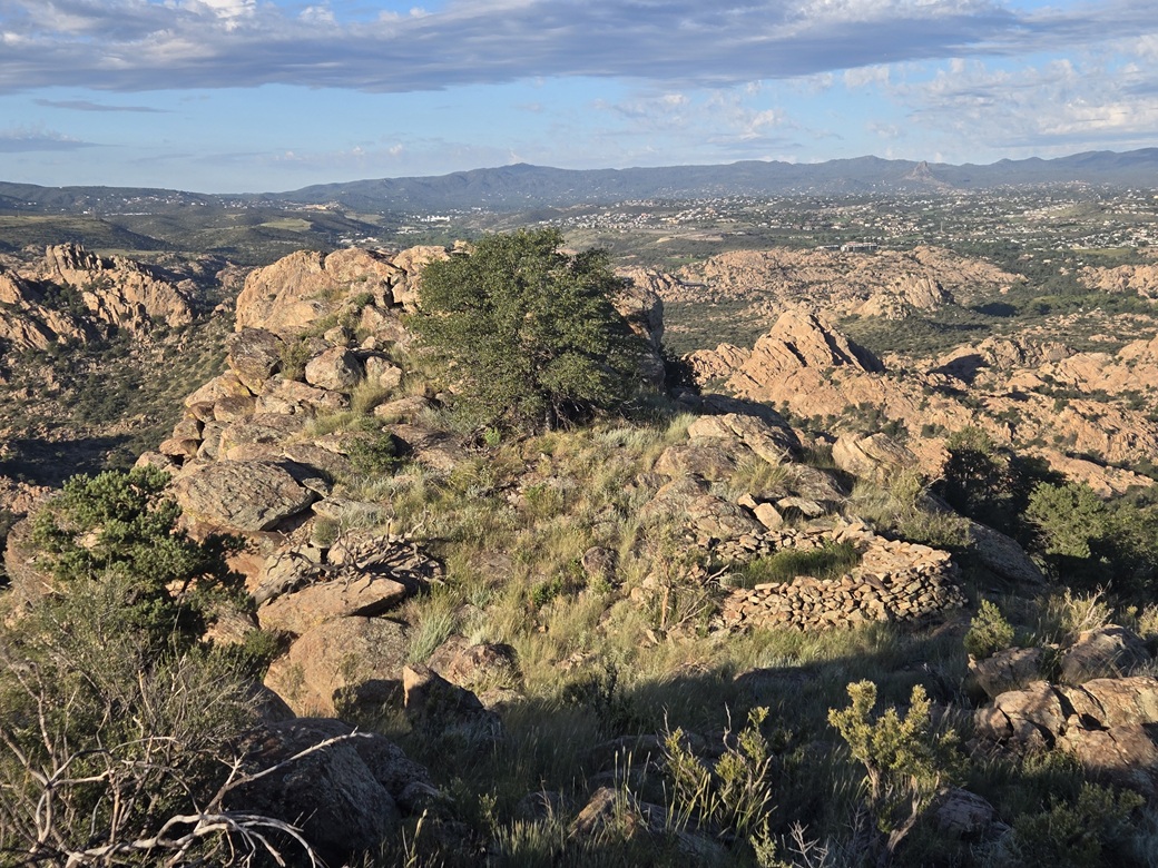
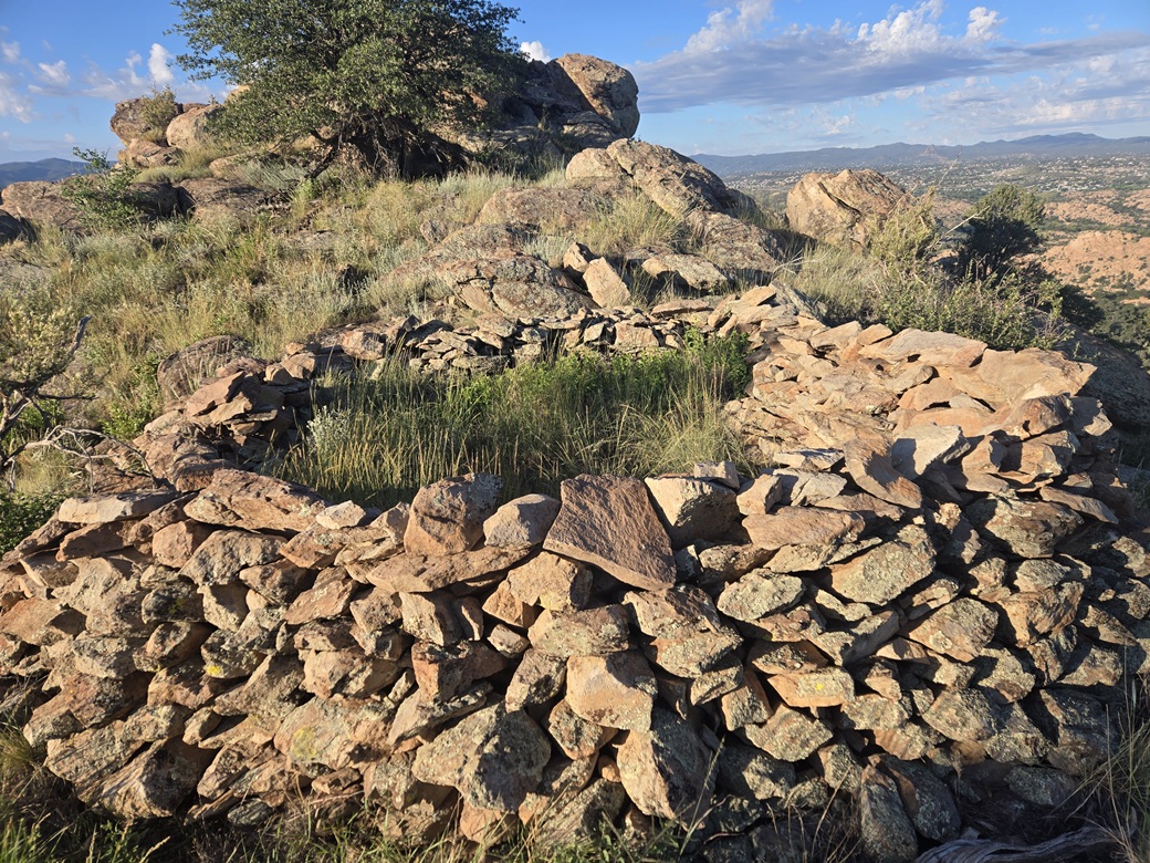
But I saw that I wasn't yet done. About two hundred feet west was another rock dome that looked about as high. In between was a squarish fortification built out of rocks. I descended off this eastern summit and took a look at this fortification, then scampered up to the west summit. Looking back, the east summit looked a couple feet higher.
I descended back to the fortification. It was big, about twelve feet to a side, about three feet tall, and obviously put together over time. It was more substantial than a circular windbreak. These old ruins are common on the peaks around Prescott. Many date from about the 1300s. They're so common that they're largely left alone, hiding in plain sight. The rule is: hands off.
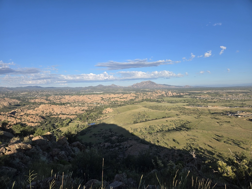
I then reclimbed the eastern summit and took a brief look for a cairn or register, but found nothing. I never really stopped. I kicked a few rocks and snapped some images of the surrounding countryside. There is a lot of housing going up to the north and east of the peak and dells. The sun was still being occluded by clouds to the east. It was actually very comfortable, low 70s for now.
The walk down went well. I was able to keep to more rocks which helped me move faster. Once back to the trail, I took off the gaiters, then walked back to my car, the time about 8:15 a.m.. By now, the sun was out in full force, but it didn't have that sultry warmth. It felt ... refreshing. What a difference one week makes!
Back to my car, I didn't waste time. I started it up and head back south, now to go hike Mount Davis.
This peak was much more fun and interesting than I was expecting. I had no idea how extensive the Dells are, and I got only a glimpse of it. This turned out to be a real treat of a hike and one I recommend.
|

|