
The Mountains of Arizona
• www.surgent.net
|
| Maverick Mountain |
• Prescott National Forest • Bradshaw Mountains • Yavapai County |
|
Date: August 26, 2026
• Elevation: 7,456 feet ✳
• Prominence: 396 feet
• Distance: 4.4 miles
• Time: 3 hours
• Gain: 1,330 feet
• Conditions: Warm and humid with incessant gnats
Arizona
•
Main
•
PB
•
LoJ
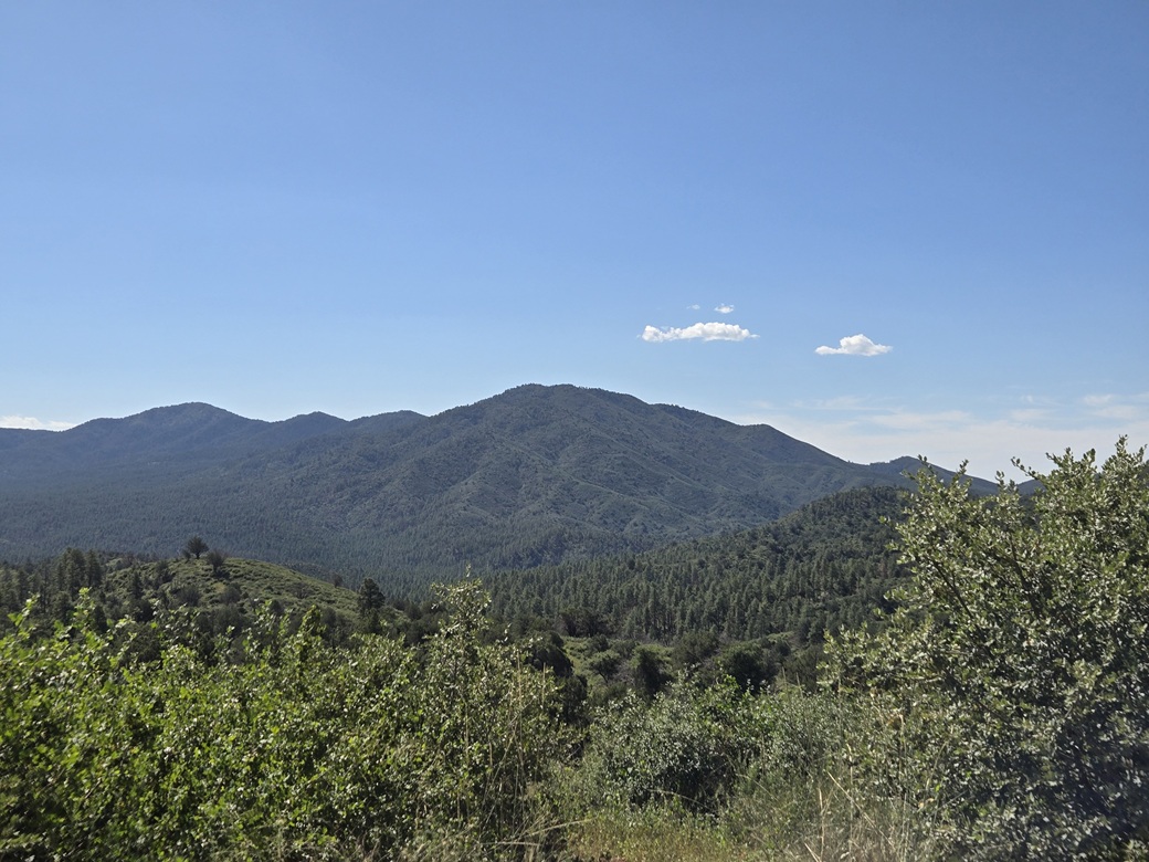
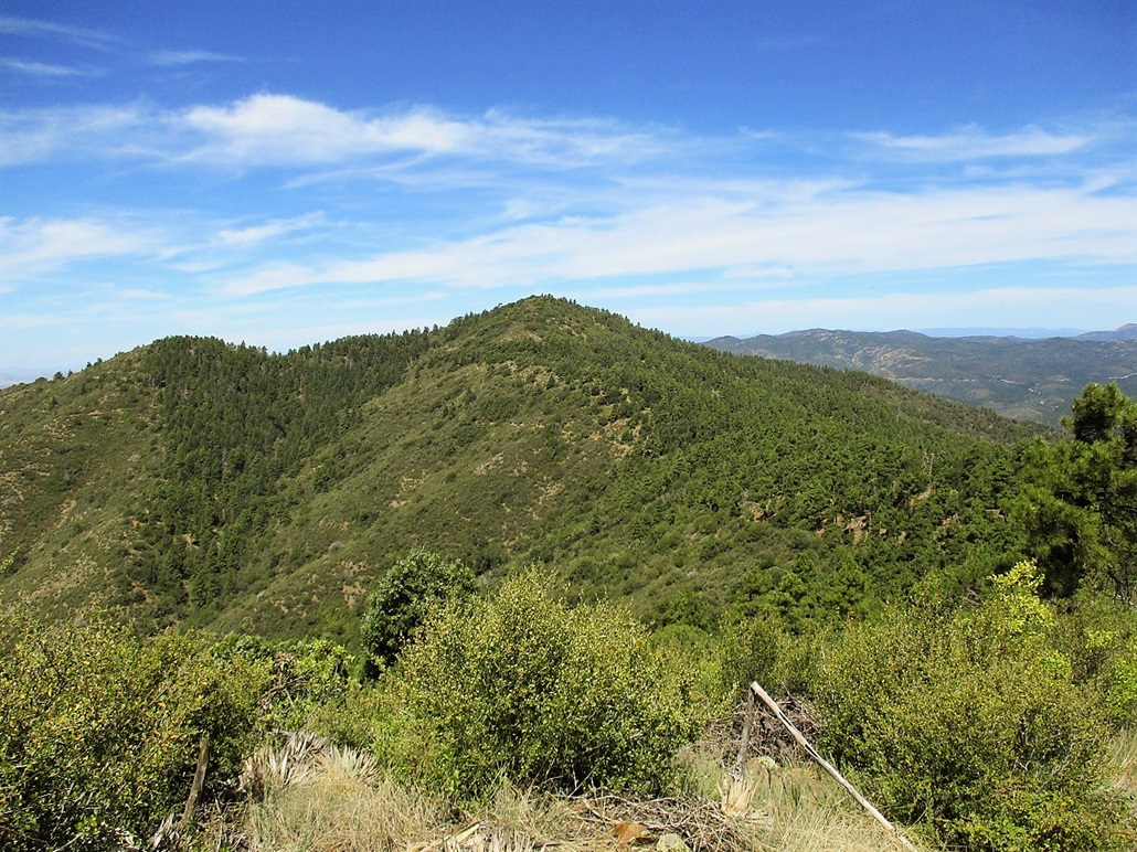
Maverick Mountain is one of the highest peaks in the Bradshaw Mountains, south of Prescott. It rises on the west end of a long ridge on which Mount Tritle takes up the east end. I hiked Mount Tritle back in 2019, about this time of year too. A combination of roads, trails and a jeep track allow for a brush-free ascent of Mount Tritle. Unfortunately, the same is not true for Maverick Mountain.
I was here because it was a Wednesday, the day between my teaching duties at ASU, this week being the first full week of the Fall term. It is obscenely hot in the deserts still, and the high country is still very warm, too warm to camp. I found a very cheap hotel in Scottsdale and crashed there last night. I was up at 3 a.m. and on the road at 3:45, heading north toward Prescott.
The drive went well, there being little traffic at this early hour. It was still hot, though, in the mid-90s. Highs in the past couple days have been around 115°, the whole state under a heatwave. Even Bisbee was getting above 100°. It stayed dark until I was on the highway into Prescott, by which time I had dawn light to see my way.
I turned onto the Senator Highway (Prescott FR-52) from downtown, and followed it up and into the hills. I was able to find my way to the trailhead, where FR-79A branches west off of FR-79, signed as Tritle Road. I was here in 2019 and sort-of remembered what to do. I parked under a tree and got myself properly attired. I wore leggings and long sleeves.
It was still early, about 6 a.m. when I arrived here, still in shade. The sun was blocked by the big peaks to the east. I would have shade for at least another hour. It was actually pleasantly cool for the moment, about 60°, and not as humid as it's felt for the past few weeks.
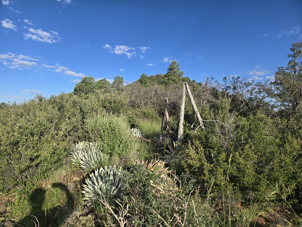
I started walking at 6:10 a.m.. I headed west on FR-79A, staying on the main tracks for a little under a mile, to near a clearing with a spring and an old wooden fence. A number of side roads branch off the main road, and I followed one for about five minutes before turning back. It's not always obvious which is the main road. I generally followed the one with ATV tracks.
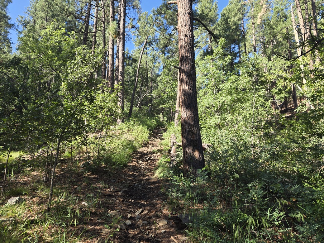
Trail 65 picks up from here and starts a steep ascent up a canyon toward the ridge top. I had some sun now, and in the sun, I could feel the warmth, although for now it was still tolerably cool. Once deep in this canyon, I had shade for nearly the whole way up to the high ridge. The trail meets the old jeep track that leads to Mount Tritle and various old mining claims. I took a break on a log near this junction. I had been hiking for about 45 minutes.
I was about 0.4 mile from the summit, about 400 feet below. I was expecting brush, but hoped maybe some had been cleared, or a path had been knocked in. Nope. It was heavy and dense almost immediately. I just leaned in and started up the slope.
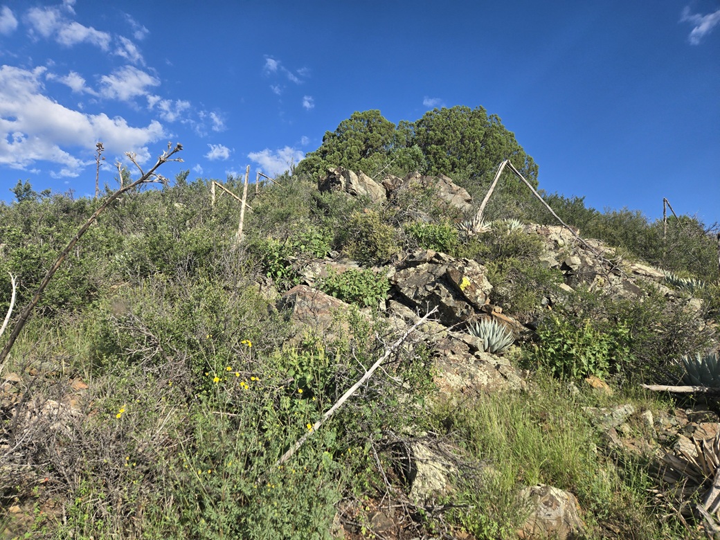
This segment would be slow and often frustrating and tedious. I would have a minute or two of unfettered hiking through lanes and meager openings, then hit a thicket of locust, heavy grass and other woody scrub. Gambel oak are the main big trees, with junipers as well.
I often found myself trudging through waist-high crud, not able to see my feet, hoping the snakes were still asleep in their holes. I would try end runs, descending to one side of the ridge, but this rarely worked. It was best to stay on the ridge itself and deal with the brush. The summer rains have resulted in a bumper crop of greenery. The sun was now up, it was noticeably warm, and the gnats became almost unbearable.
I just moved as best I could. I had to crawl through one segment when there was absolutely no other option. About halfway up, I came upon some rock outcrops. I could high-step up these, no scrambling required. I could finally see some of the upper mountain, although the summit was still not visible.
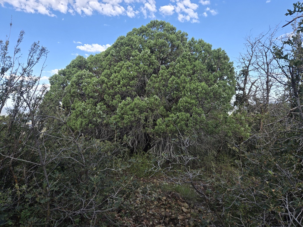
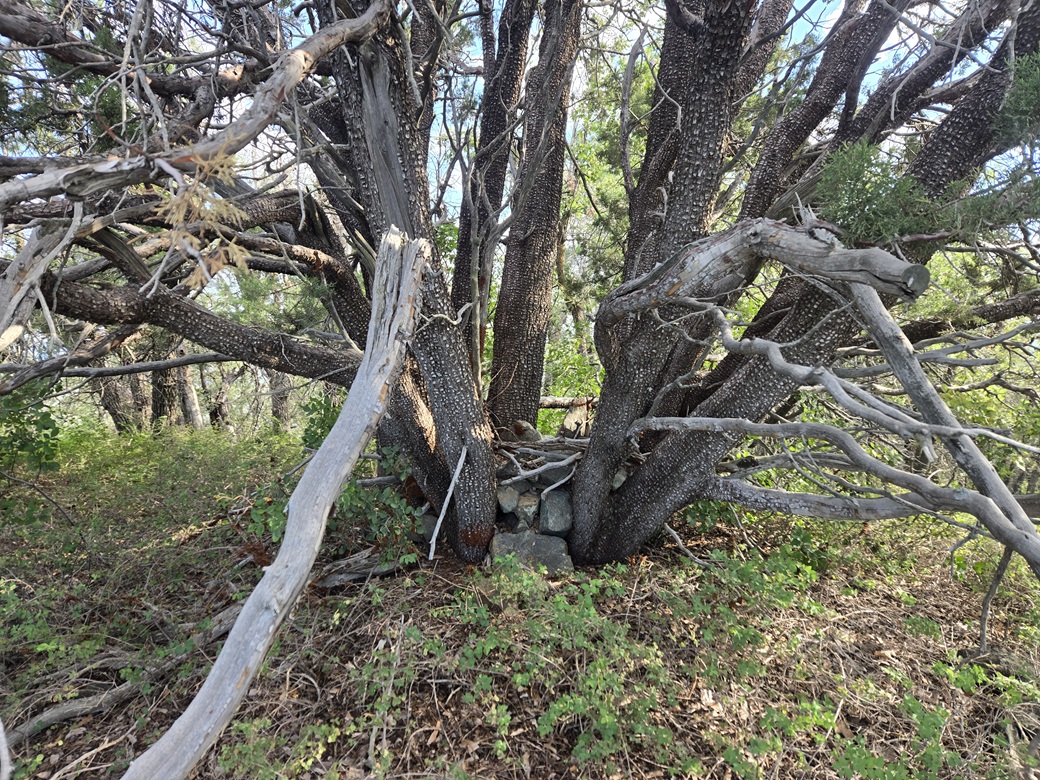
The slopes started to mitigate and I came upon a multi-trunked juniper with a bunch of rocks piled in its center. I took this to be a possible highpoint. To be sure, I continued along the ridge another 200 feet or so, until the slope started to drop again. Doubling back, I tagged or reached in with my foot to tag any other possible highspots.
Back at that juniper, I looked in to find a register. I was not willing to pick apart the rocks, for fear of snakes or spiders. Thousands of ladybugs were on the tree limbs and rocks. This felt like the best bet of the highpoint, so I took an image of it and called it good. As far as the gnats were concerned, I gave up trying to wave them away. I just let them buzz me.
It had taken about a half-hour to get to the top from the jeep track below. Going down, it took about the same time, with no better routes than I had going up. I was relieved to be back onto the jeep track and trail, and out of the brush. It was not enjoyable.
I walked a few feet down the trail and stripped off my leggings and shirt. Both were soaked amd filthy. It was warm now, still humid and gnatty. I just wore a pair of shorts for the hike down.
The egress hike went fast because it was all downhill. I was soon back to the forest roads, then back to my car a lttle after 9 a.m.. It was sunny now, and low-level hot, into the mid 80s even here at 6,200 feet elevation.
I was happy to tag this peak. It is a major summit in the range, and one I had looked at back in 2019, although I skipped it back then (with no regrets). I did not enjoy the brush and the gnats, but it was a reasonable price to pay. Now I started the drive out.
I took the roads back into Prescott. I had a second peak in mind, a nothing bump along AZ-89 south of town that looked like a quick up-and-down hike. However, as I descended into Prescott, the temperature gauge rose steadily. It was into the mid 90s in Prescott.
The drive out of town went well. I got to that peak but by now, temperatures were in the 95-98° range. I still may have done it as it looked short, but then one look at the heavy mat of brush, bushes and low trees turned me off. This would be better done in much cooler weather.
So I just continued my drive. I stopped at the Dollar General in Yarnell for snacks and something cold to drink, then dropped off the Yarnell Grade into Congress and Wickenburg, where I got gas. It was into the mid-100s here.
I followed the usual route into town, taking AZ-74 to Interstate-17, then the Loop-101 into Scottsdale. By now, it was blazing. My temperature gauge toggled between 114-116°. Later, the high in Phoenix would hit 117°, tied for the hottest day in 2026.
I was back to my hotel about 12:30 p.m.. I was absolutely thrashed and filthy. I took a shower then had a two-hour nap. Despite the heat, it had been a good day and a good way start yet another year of teaching. I hope this heat clears out soon.
|

|