
The Mountains of Arizona
• www.surgent.net
|
| Peak 9004 • Sitgreaves Mountain |
• Kaibab National Forest • San Francisco Volcanic Field • Coconino County |
|
Date: June 4, 2026
• Elevation: 9,004 feet
• Prominence: 394 feet
• Distance: 2.7 miles
• Time: 1 hour, 45 minutes
• Gain: 1,220 feet
• Conditions: Sunny and warm
Arizona
•
Main
•
PB
•
LoJ
•
Interactive map
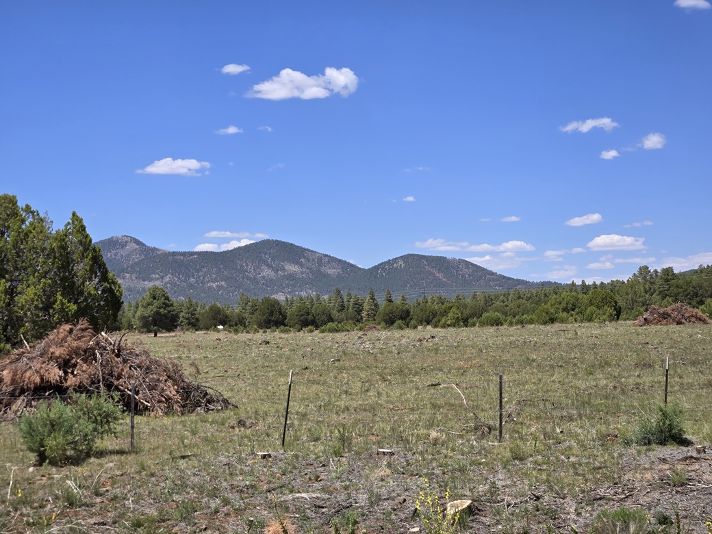
Peak 9004 is the main "eastern" summit of the Sitgreaves Mountain complex. I climbed Sitgreaves Mountain 15 years ago, and some of its foothills in recent years, but had not yet climbed this peak, the last remaining ranked peak in this grouping.
I was heading to Flagstaff for four days of peakbagging, my yearly trip I take usually about this time. I waited until it was early June. One area I wanted to explore has some restrictions on access due to eagle nesting through May 31.
It's a very long drive from Bisbee to Flagstaff. The direct route via Interstates 10 and 17 is about 340 miles. The alternate route through Willcox, Safford, Globe and Payson is 370 miles, but without the trucks. I did not want to sit in traffic in Tucson and Phoenix in the heat. So I took this alternate route.
I left Bisbee at 5 a.m., got to Willcox with no problem, then on the segment into Safford, got pulled over for going a little too quick. He was kind enough to let me off with a warning. For the remaining drive, I was sure to watch the speedometer.
The drive into Globe went well, then I had to sit through a small construction delay on the leg into Payson. Then I was up onto the Mogollon Plateau, on Lake Mary Road, and finally, into Flagstaff. It was close to 11 a.m. now.
I got onto Interstate-40 and twenty miles later, exited at Parks Road, then stopped at the gas station to get cold drinks and some basic snacks. Peak 9004 rises about ten miles northwest of here.
I got onto old Route 66, going west about five miles, then onto northbound Kaibab Forest Road 850 (says the map). This road was in good shape, and I followed it a little under five miles, about where it was starting to gain elevation.
The whole area has been logged, with big piles of logs and slash everywhere. The roads were in better shape as a result. I got onto a lesser track, FR-830, and was surprised I could drive on it. I went in another half mile or so, to a wide cleared area essentially at the end of the drivable road. Now it was close to noon. I'd been driving almost 7 hours now.
I got myself properly dressed, which wasn't much since this would be mostly a road walk. I wore shorts and went light. The map shows two tracks
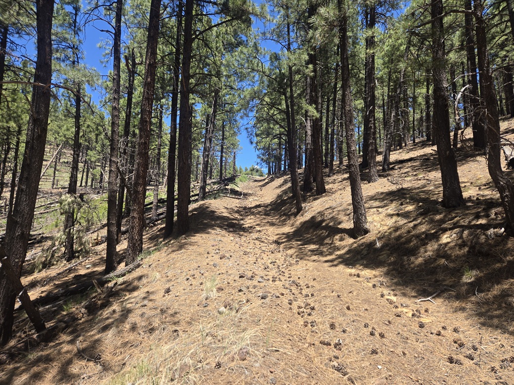
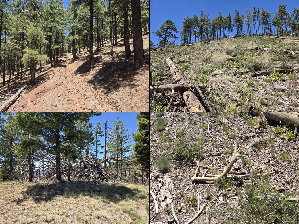
veer west of FR-830. I wanted the one that went more uphill. It was steep and with a v-channel about four feet deep running down its center. For walking, it was a challenge. I had to stick to the lip of the road itself.
This track segment was steep but not difficult. I could feel the elevation change, suddenly being at about 8,000 feet elevation. It was sunny and warm with a steady breeze. In about a half hour, I was at the high saddle, having gained about 650 feet in a mile.
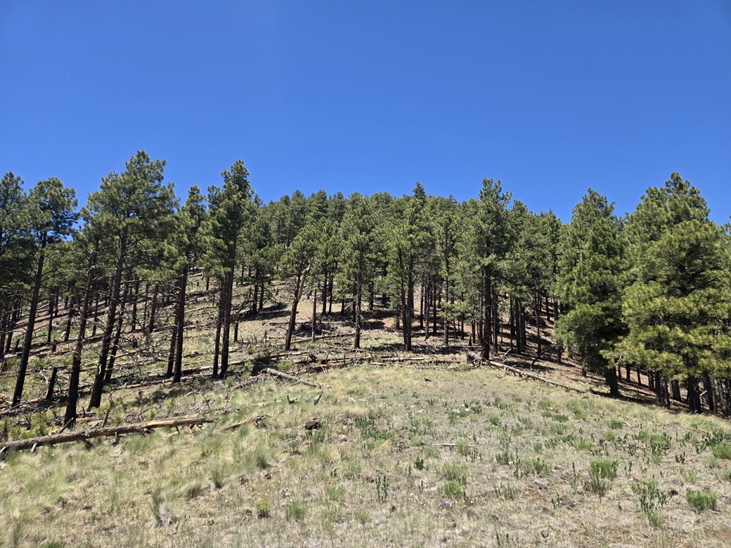
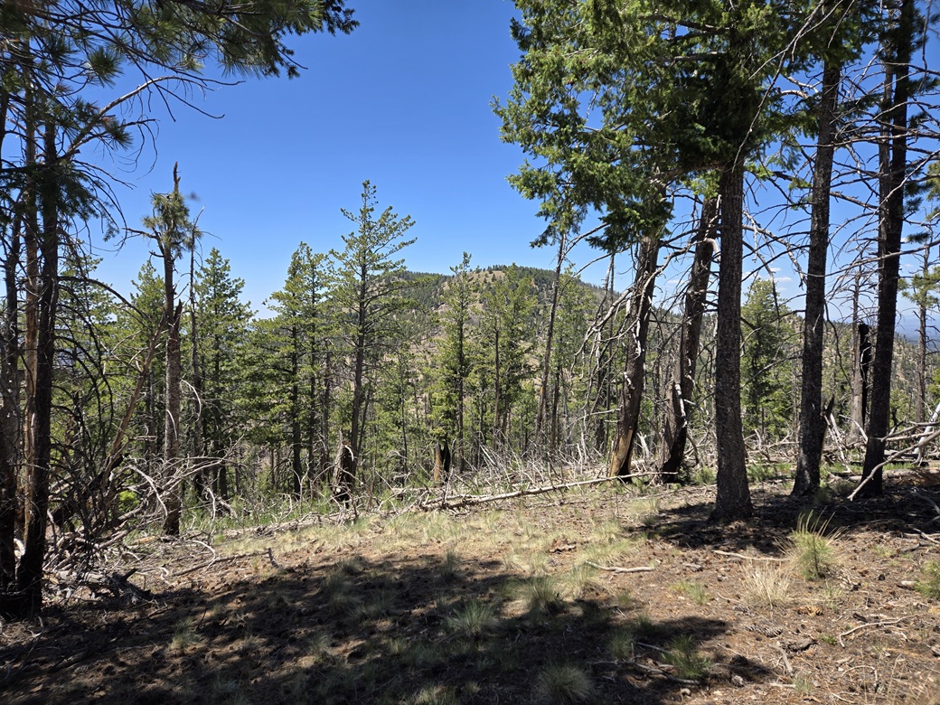
Peak 9004 rises to the west, covered over in trees, and the summit itself not visible from the saddle. I started up slope. It was somewhat open, with a fence line for the first couple hundred feet. Deadfall had demolished much of the fence, but I could still follow its remnants. In some strategic spots, I tied orange ribbon to branches for when I returned.
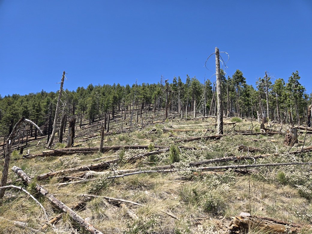
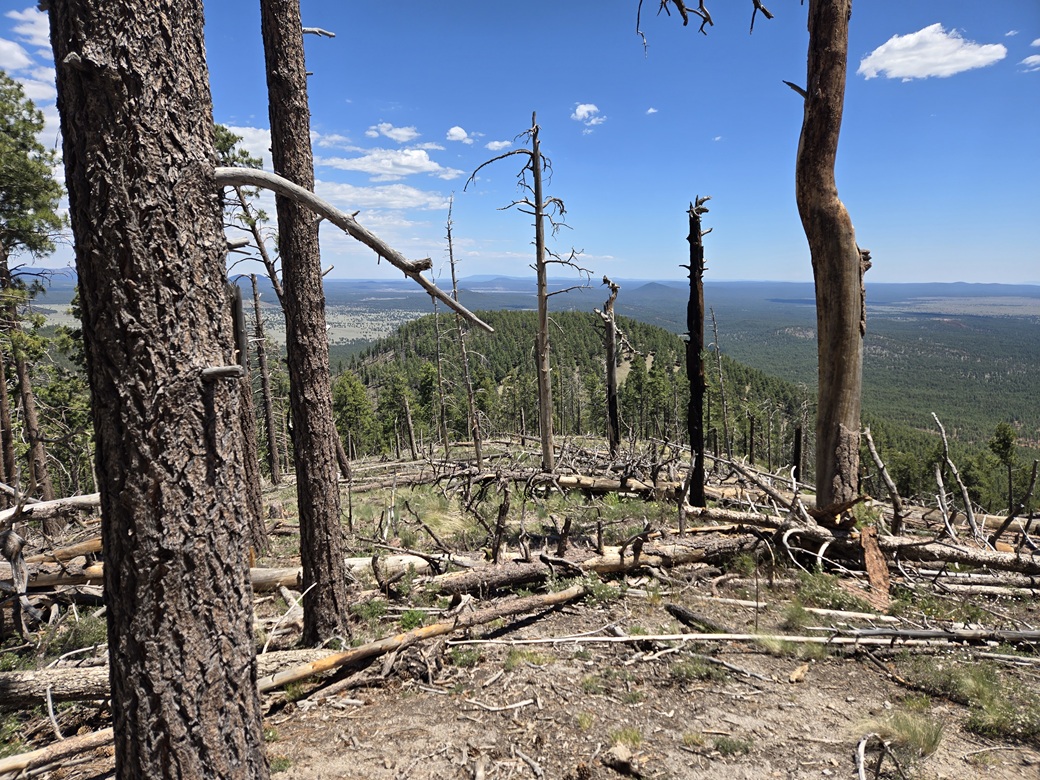
I gained about 300 feet to a "point", where the slope moderated briefly. It was more open in this area, mainly because the trees were all on their sides. I had to carefully step through the deadfall. I could hear bees in some places. They were active.
Above this was more trees, with the summit at the top. It was steep and consistent, and the forest was thicker here. My trusty orange ribbons would ensure I'd stay on track when exiting.
Toward the top, I angled left and up through more trees until I was at the summit. It was a consistent upward grind the entire way. I gained over 1,200 feet in a little under a mile and a half.
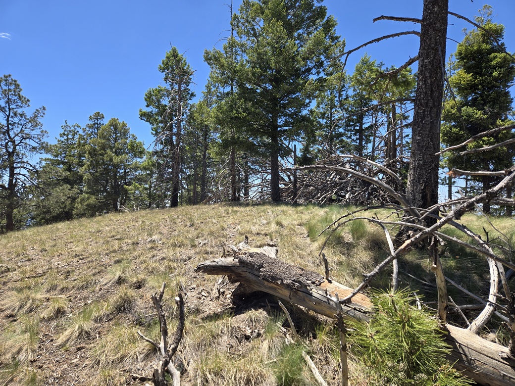
The top was wooded, with a massive dead bleached tree and its many branches lying on its side near the highest point. I tagged what I could, and walked around. I found a cleared area where I could get a shot of Sitgreaves Mountain to the west. I could not locate a register. It had taken me 70 minutes from my car to here.
I did not stick around, essentially turning right around for the trek down. Whereas the uphill had been slow and tiring, the downhill would go fast. I long-stepped and scree-skied much of what I could, only slowing down in the deadfall part. On the track, I jog-walked much of it, and was out in 30 minutes.
This was the only peak I had planned today. It was about 2 p.m. now, and I headed back down and into Flagstaff, where I had a hotel reserved. They let me check in early. I was tired after having been up so early, driven so many miles, and hiked a peak. All this on my birthday, the big five nine.
I found a burger place nearby for dinner. When I walked in, I recognized it from an earlier visit, when I and two others had climbed Black Mesa on the Navajo Nation back in 2000, also on my birthday. I was amused I was here exactly 26 years apart. Will I be back in 2052? Don't bet your rent on it.
I crashed early. I wanted to be up very early for tomorrow's adventures. Even at these elevations, it gets very warm, and I wanted to be hiking at dawn tomorrow. The tale picks up with three peaks up on the CO Bar Ranch.
An amusing result of this climb was that it completed the 11 peaks on the "Parks" quadrangle, the U.S.G.S. 7.5-minute topographical map of the area. I don't normally track my "quads", but seeing that I have climbed just about every ranked peak in the area, I suspected this would probably finish off a quad, and sure enough, it did. In fact, over the next three days, I would finish off a total of 7 quads.
|

|