Cerro Colorado is a pointed peaklet set slightly apart from the main mass of the Cerro Colorado Mountains, in Santa Cruz County northwest of Nogales. It is not the highpoint of the range, which sometimes goes by "Cerro Colorado" too. I drove down early this morning and hiked Fraguita Peak, finishing that hike a little before noon. My next objective was the highpoint of the Las Guijas Mountains.
From Arivaca, I drove north a few miles, getting onto the Cerro Colorado-Las Guijas Road, which was great for about a quarter mile. Then I hit a rough patch, some rocky tread and ruts that most beefy trucks would handle easily, but was marginal for a Subaru Forester. I got out to study it, and decided it wasn't worth the trouble. I could have eased through the rocks and who knows, it's probably smooth thereafter, but I wasn't eager to possibly spend an hour going 8 miles.
I backed out, and eyeballed Cerro Colorado, which is hard to miss. It was less than a mile north of me. So I drove back to Arivaca Road, then northeast a tiny bit, then north onto an unsigned track that approaches the peak on its southeast. The road wasn't too bad. I got in about a half mile, and parked in a grassy clearing on a slightly-elevated bluff. The peak was nearby, a quarter-mile away on a straight line.
To be honest, I wasn't keen to hike this peak. I was a bit tired from my hike this morning, and it was warming now. The immediate area is kind of homely too. So I sat in my car and relaxed, even dozed for about five minutes. It was about 1 p.m.. I had a hotel room waiting for me in Nogales, but it was too early to go there now, and I didn't want to not do anything, either. So I decided what the hey, I may as well go hike a peak.
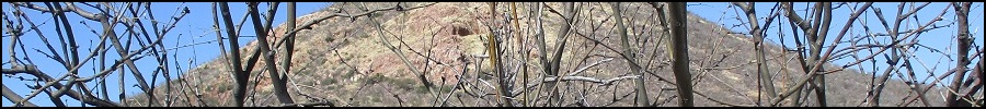
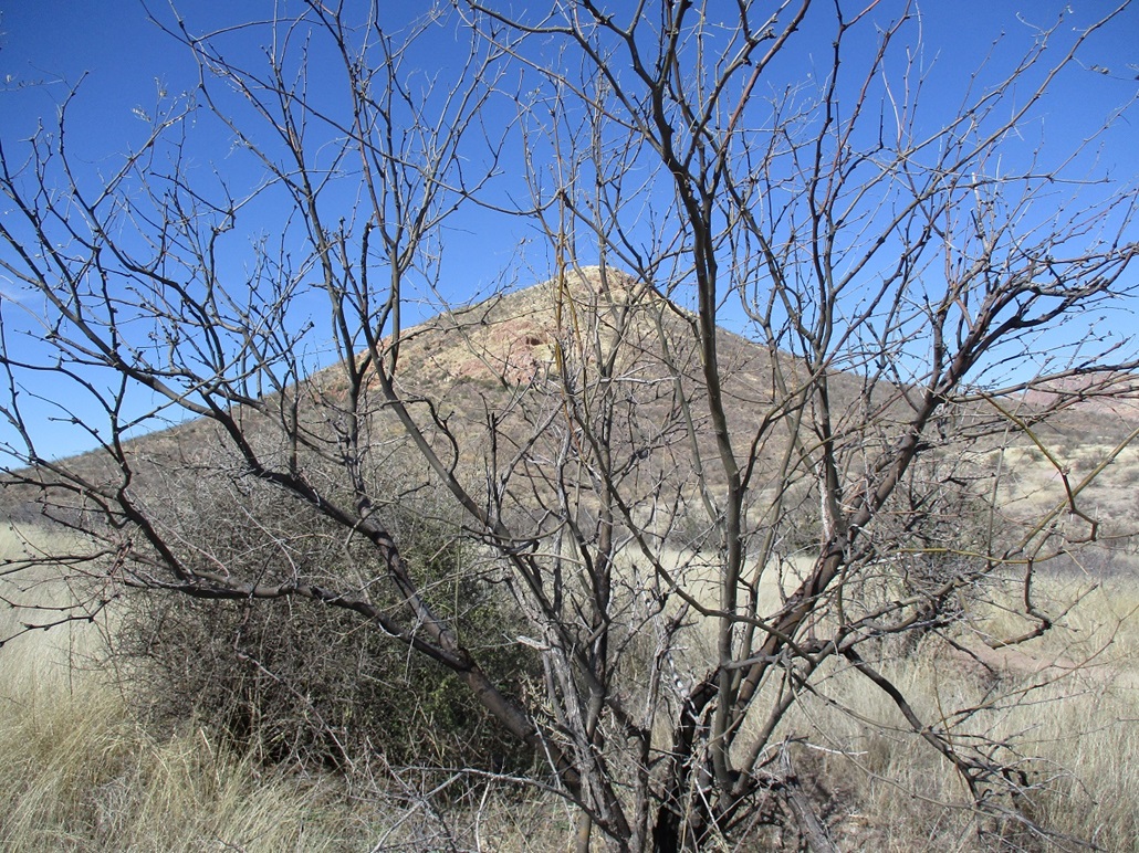
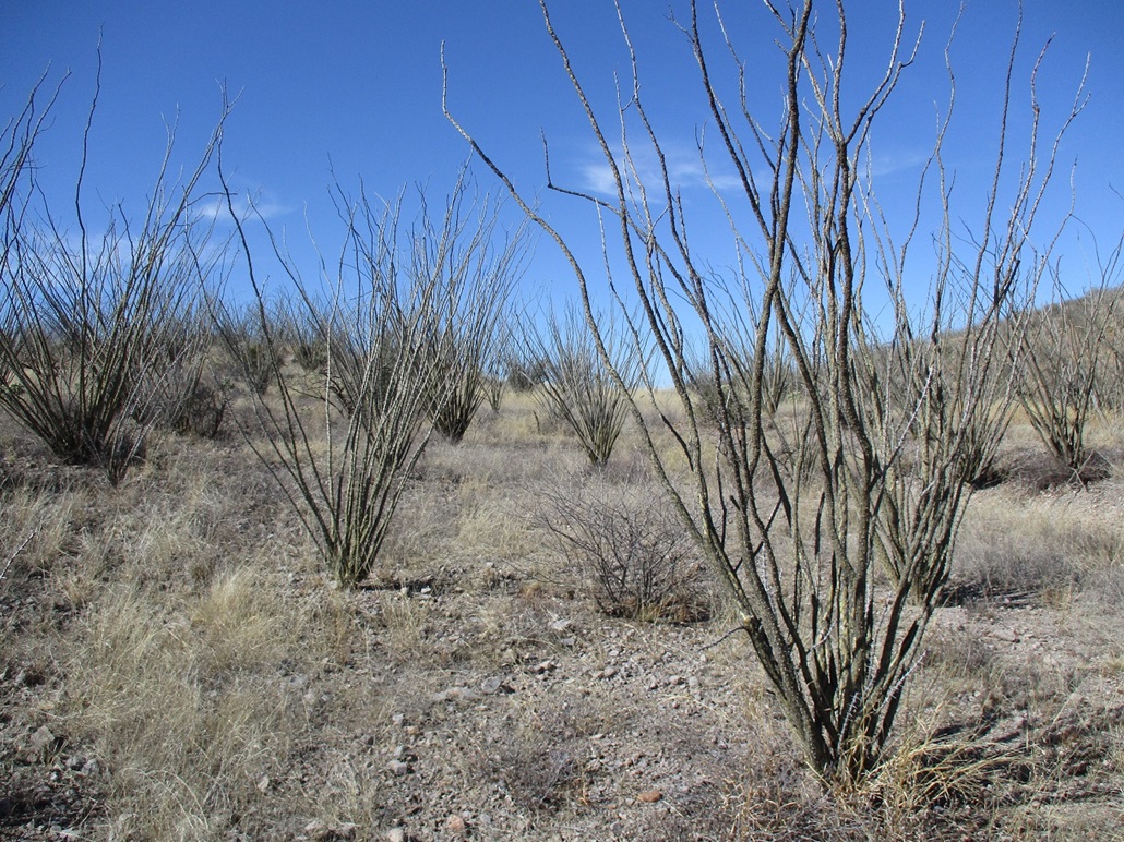
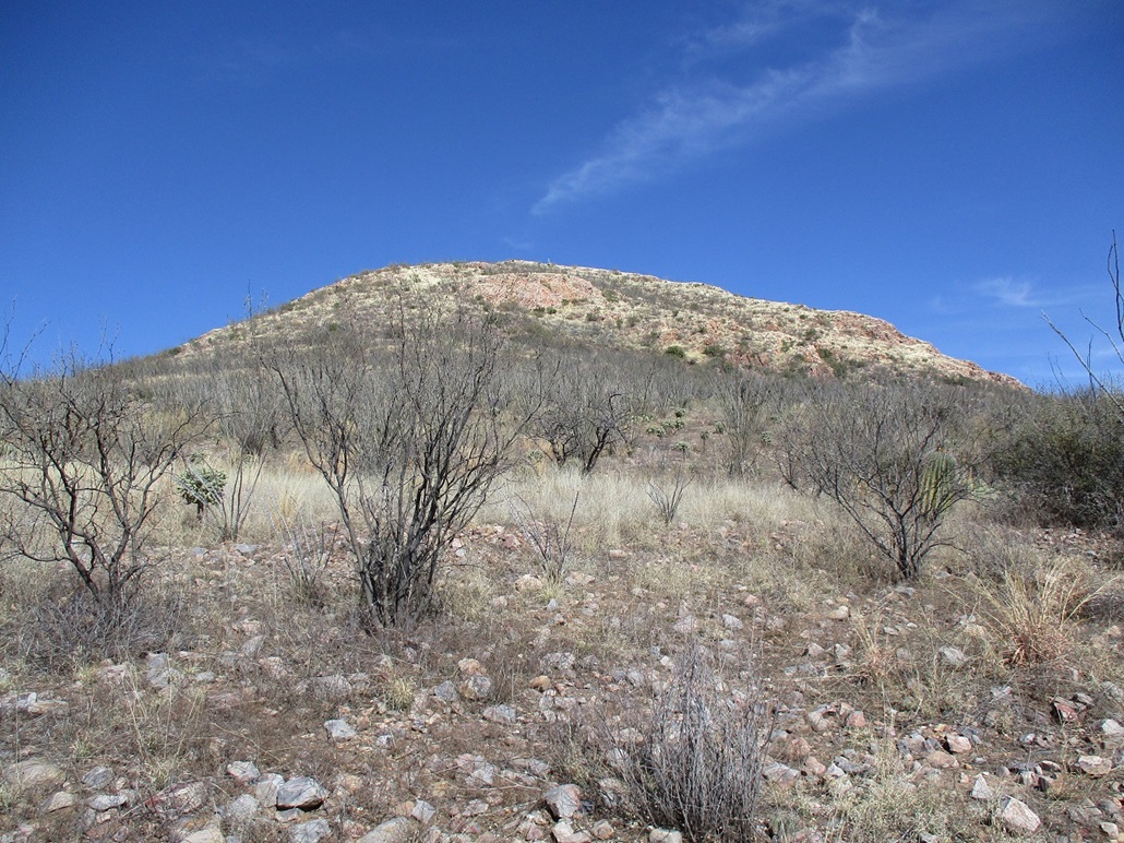
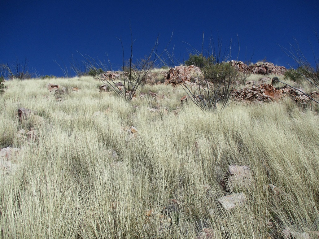
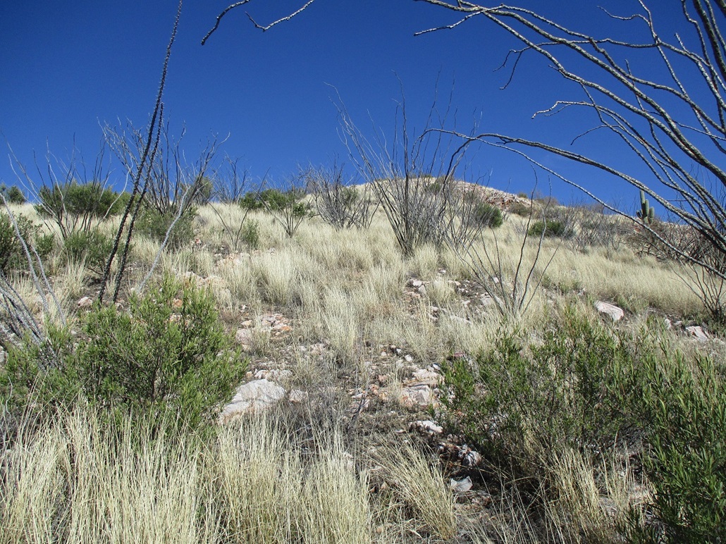
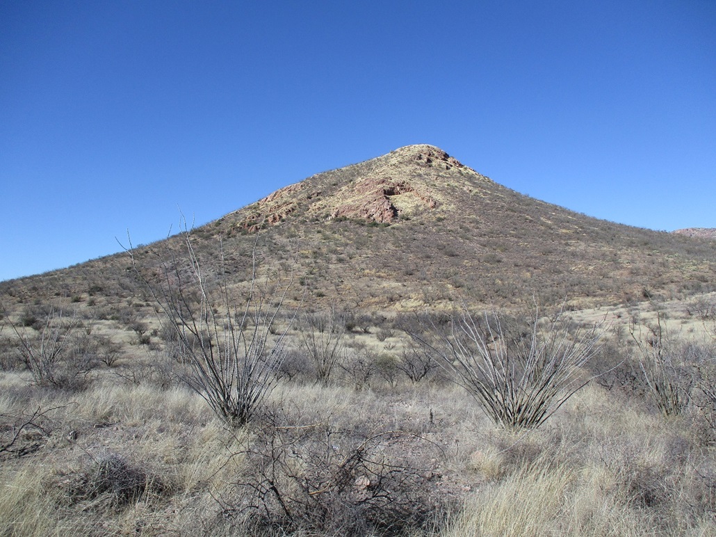
Cerro Colorado is about as conical as a peak can be, almost perfectly symmetrical from all aspects. I was facing the peak's southeast slopes, but these had some rocky sections that looked troublesome. So I walked west, hoping the slopes that way looked better. The terrain here was thick grass, abundant rocks and low brush, a lot of catclaw and a lot of ocotillo, which is pretty common to the deserts, but never as thick as what was here. Overall, it wasn't the prettiest scenery ever. (In defense of the honorable ocotillo, when it's spring, and they have little green leaves and are blooming their red flowers, a whole field of them can look quite lovely.)
I had to cross a fence, the strands loose enough to push down, then drop into and out of a brushy arroyo. The good news was that the slope I was facing, now the south-southwest slope, looked promising. It looked steep and brushy, but no cliffs or rock obstacles to worry about.
I started walking uphill slowly, weaving through the ocotillo. The rocks were loose, basically a slope of small boulders that moved with each step. Then the slope steepens ... then, gets less steep. I was soon above the steep part, now on a nicer grassy ramp that led directly to the summit. I was up top about 40 minutes after starting.
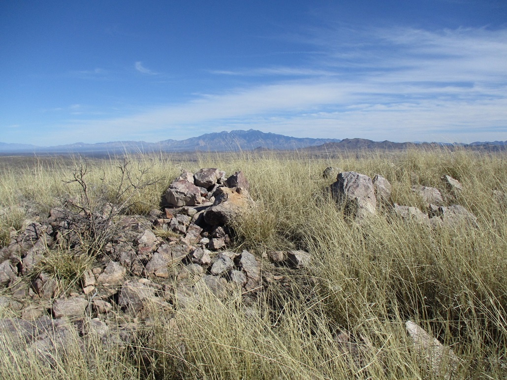
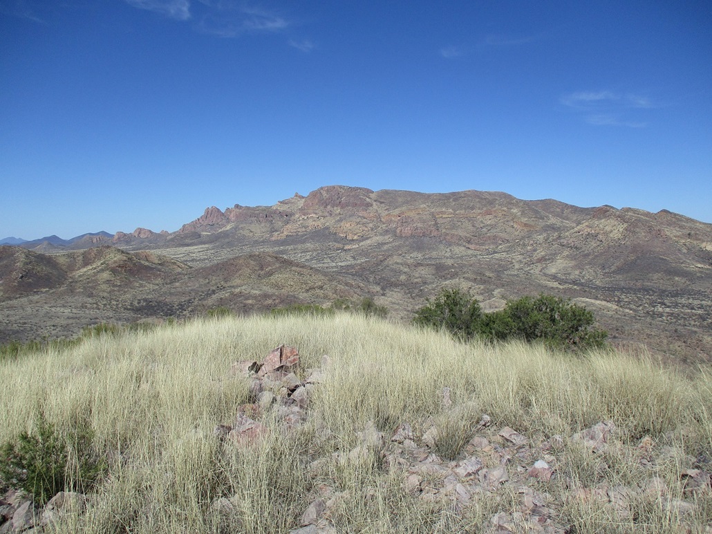
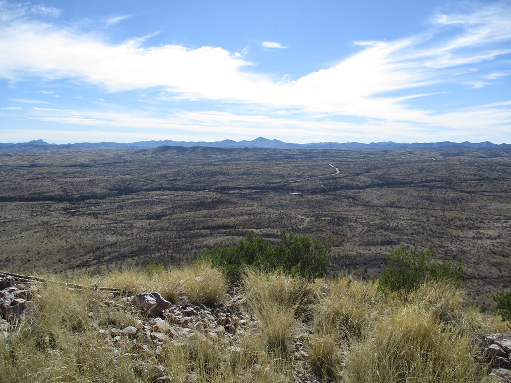
The top is slightly rocky and very grassy. Views were great in all directions, the morning's clouds having moved on. It was rather warm, too, given how cold it had been a couple hours earlier on Fraguita Peak. Then I remembered, it's late January, summer's just around the corner.
I spent about ten minutes up top, enjoying the views and the sun. Three or four low rock piles could be the highest point. I found a very old tin can, probably a hundred years old and full of lead, containing a new pill-bottle register placed there by Andy Martin a year ago. I signed in, then placed everything back together under a simple cairn.
I hiked down the same way, the only difference being that I folowed the arroyo out since it was sandy and not too brushy. I just had to guess when to leave it to find my car, which I did without any trouble. I had been gone about 90 minutes. It was about 2:30 p.m. now. I relaxed some more at the car, pulling out my camp chair and sitting in the car's shade.
On the drive out, I inspected some roads that lead in toward the main Cerro Colorado Mountain mass, for a future hike, and also enjoyed the high desert and rangeland scenery. I was in Nogales about 4 p.m.. As the sun set, the temperatures dropped quickly, and I had a mellow night in my Motel-6 room, watching the Lakers and Celtics.
Tomorrow, I would hike Ridge Crest Peak in the Tortolita Mountains north of Tucson on my way back to Tempe.
This little bump served its purpose well. I wasn't enthusiastic to hike it, but am glad I did. It had its charms, wasn't particularly difficult, and the views from up top were worth the half-hour it took to get up the thing. I don't expect people will come all this way for this peak, but as an add-on, it's a good option.