
The Mountains of Arizona
• www.surgent.net
|
| Whitlock Mountain |
• Highpoint: Whitlock Mountains • Bureau of Land Management & Arizona State Trust Lands • Graham County |
|
Date: December 9, 2018
• Elevation: 5,682 feet
• Prominence: 1,782 feet
• Distance: 8.8 miles
• Time: 6 hours and 30 minutes
• Gain: 1,740 feet
• Conditions: Chilly, then warmer, calm blue skies
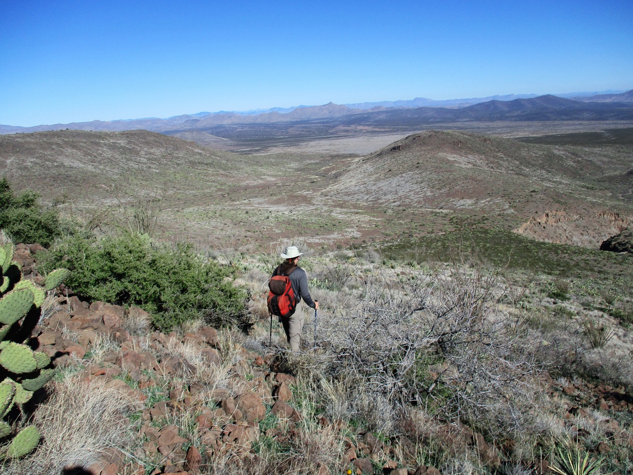
• Teammates: Matthias Stender
Arizona
•
Main
•
AZ P1K
•
PB
•
LoJ
Whitlock Mountain is the highest peak of the Whitlock Mountains in Graham County, southeast of Safford. The peak actually has no name and often goes by Whitlock Mountains Highpoint. There is another Whitlock Peak, located across the Whitlock Valley, about 10 miles to the east. That peak lies in the Peloncillo Mountains. Yeah, it's unnecessarily confusing.
The name comes from Captain James Whitlock of the United States Army. He was stationed in the area during the Civil War, before Arizona became a territory, as part of the on-going war with the Apache Indians that would last until 1886. In 1864, Whitlock led a group of men who tracked a band of Apache that had killed some settlers. The pursuit lasted many days, in the area long the Gila River. The result for this particular band of Apache was not very good.
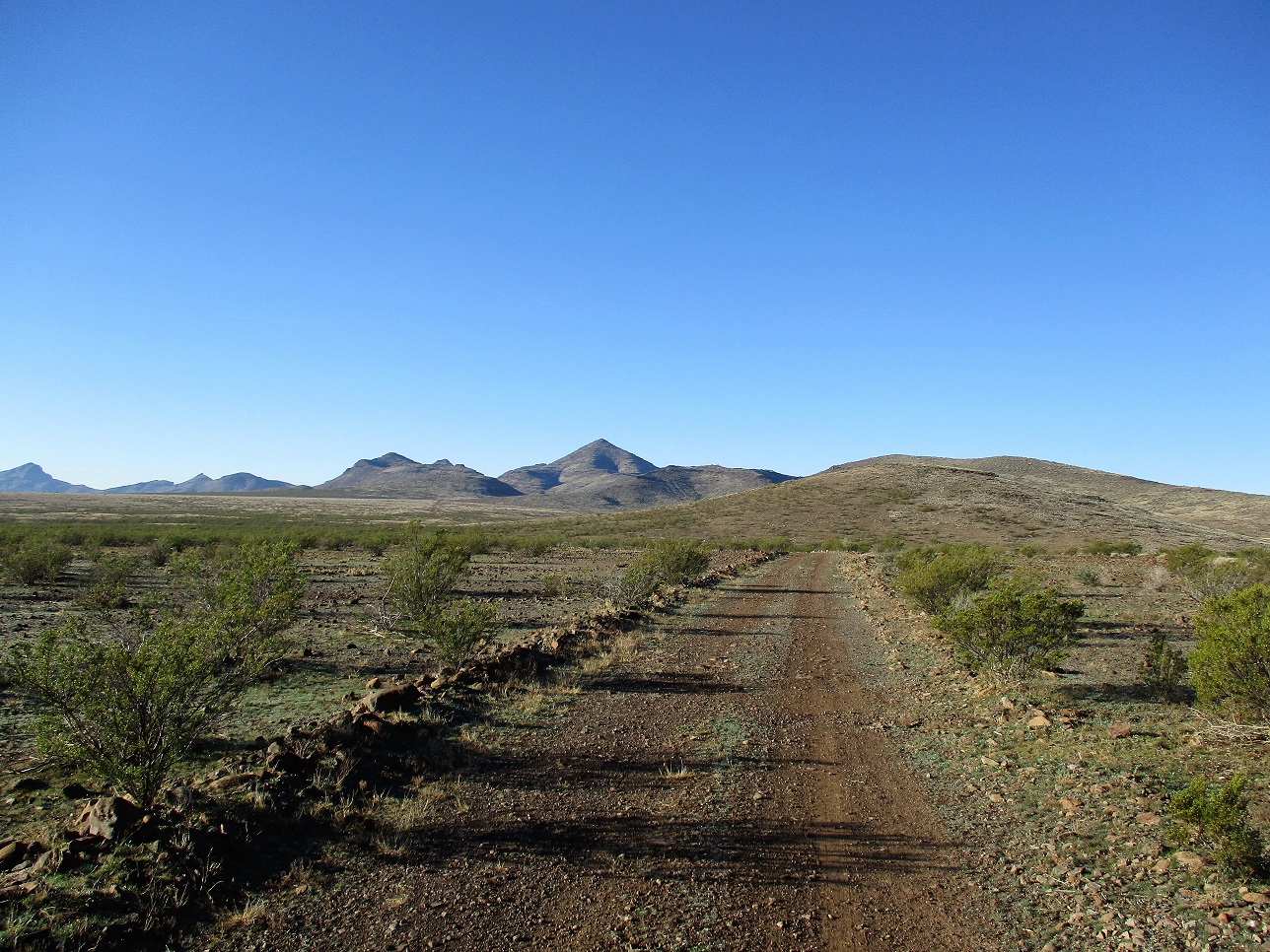
About 154 years later, Matthias and I teamed to hike this peak. We met at the Wal Mart in east Mesa at 5 a.m., and Matthias drove us through Safford to Hackberry Road, about 20 miles east of Safford along US-70. The Whitlock Mountains rise above the high desert plain, much of it BLM land. The Hackberry Ranch takes up a lot of the Whitlock Valley, but the roads were all open, ungated and unposted.
Going south on Hackberry Road, we followed the directions given by Paul McClellan at Peakbagger. There are newer roads not shown on the topographic map. There had been a storm a couple days ago, and there were a few puddles in the road, but for the most part, the roads were solid with very few spots of soft mud. McClellan's directions were good, except a "right then immediate left" came at about 2.9 miles, not 3.1 in his log. In any case, we were able to logic out what he did. The last road, the one going south-southwest immediately east of Hill 4432, was narrower and rougher, but high-clearance was sufficient.
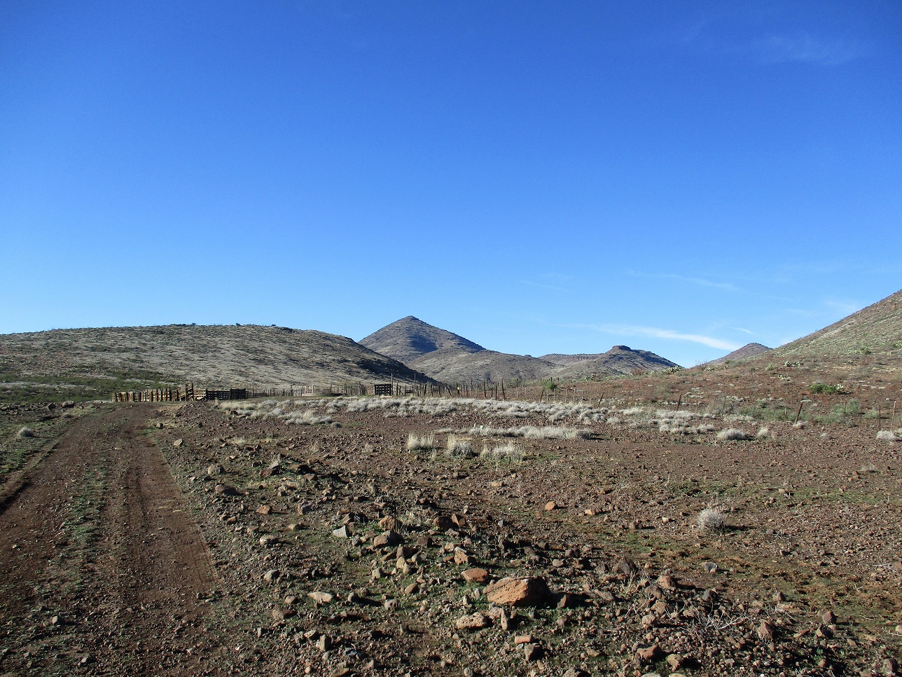
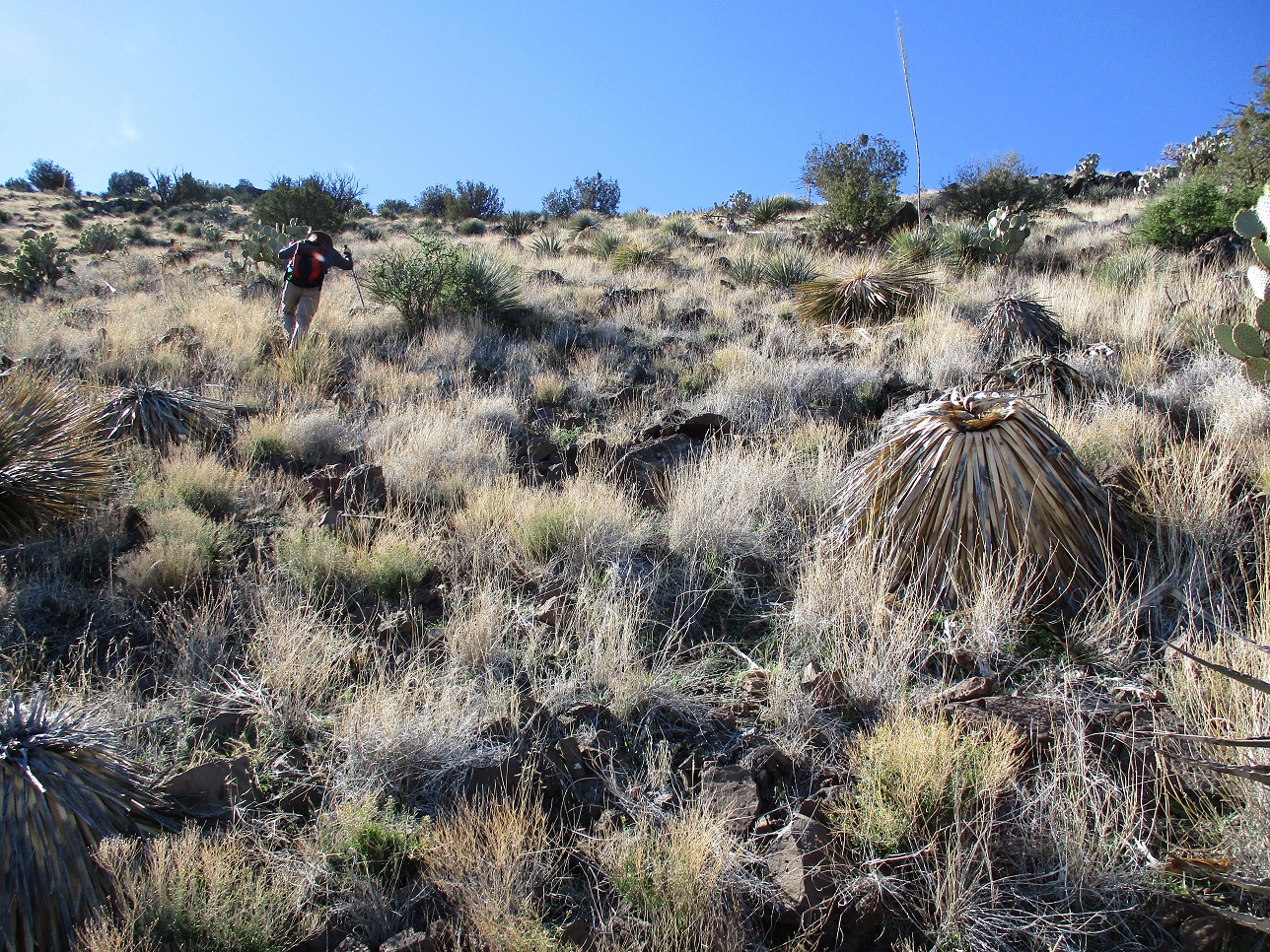
When this road turned west, it became much more rutted and a little stickier, so Matthias pulled into an open area and parked. We would walk the last two miles of road that leads to a corral (marked "water tank", s.e. 4,184 on the map). We were just east of a three-way split, spot elevation 3,954 feet. The weather was cool but not uncomfortable, temperatures in the 40s. We started walking about 8:30 a.m..
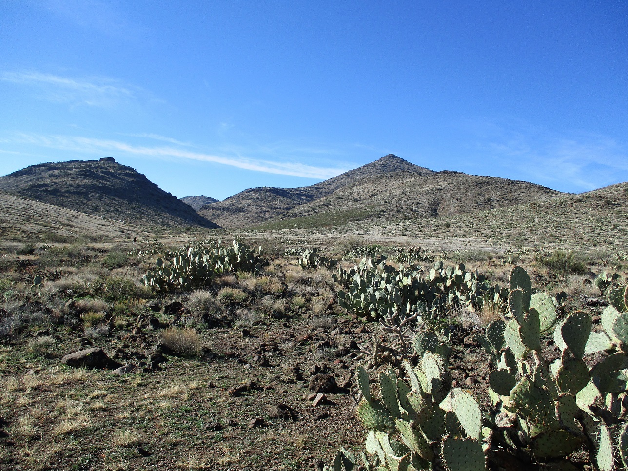
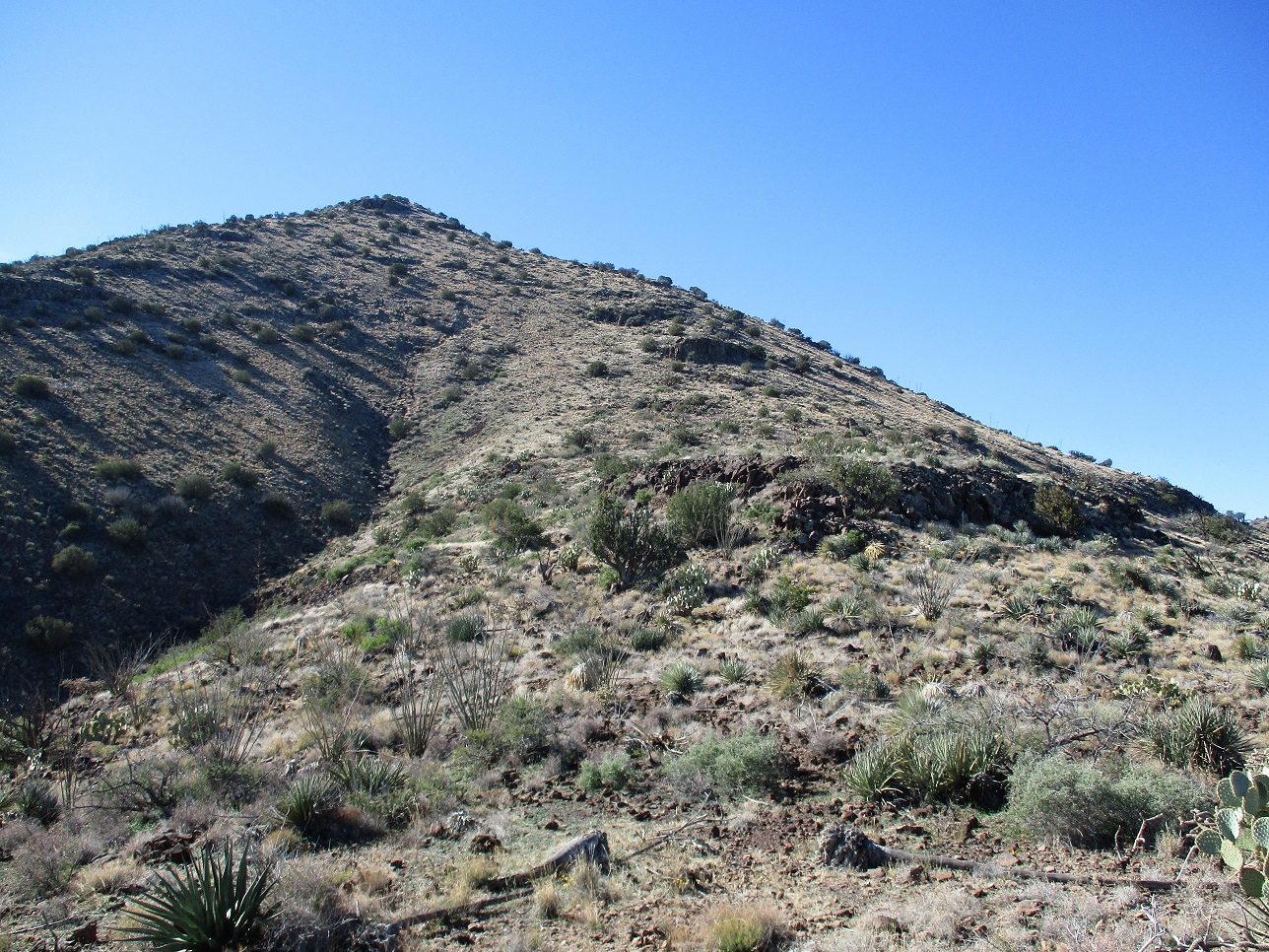
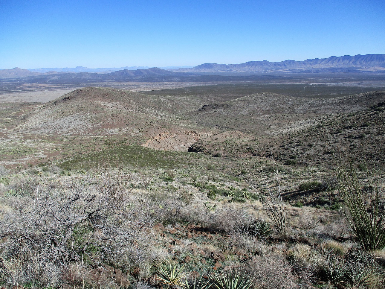
We followed the road southwest to the corral, gaining about 200 feet and covering this two-mile segment in about 40 minutes. Our peak rose high, a pointed summit framed by lower ridges and hills, set back within a canyon. Past the corral, we entered through a gate, then followed cow-paths briefly to an earthen stock tank. We angled left past it and came to another gate, which we passed through. We then walked into the broad canyon, walking along an open plain of volcanic boulders and flat ground with perfect paths beaten in by cattle.
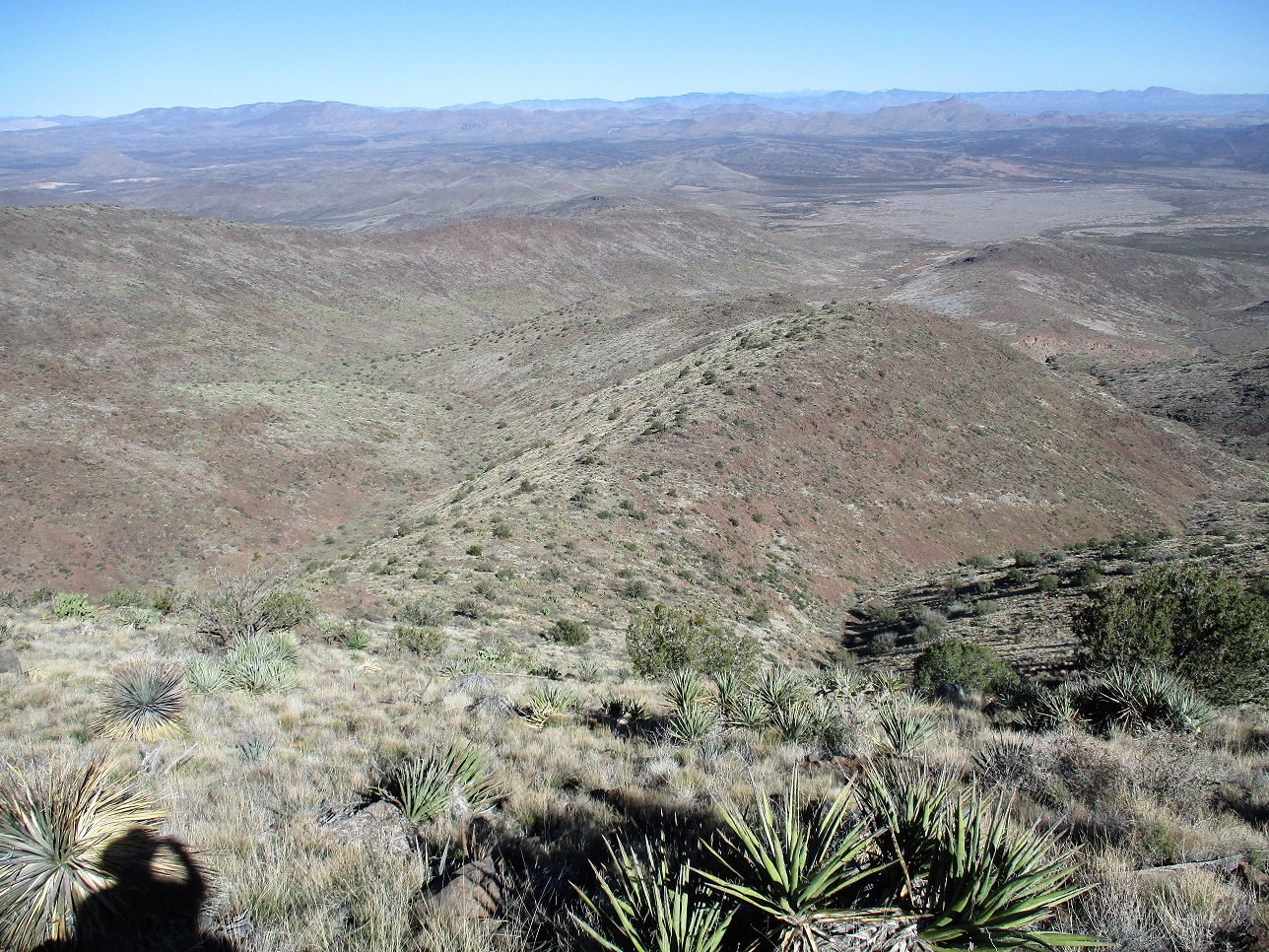
We kept to the cow path until it dropped us into the meager drainage which we followed briefly before exiting up the opposite side. Angling left again toward the peak, we had to cross a couple steeper arroyos, which slowed us. We aimed for the base of the main north-east trending ridge at the foot of the mountain. By now, we'd hiked about 3 miles with just 300 or 400 feet of gain to show for our efforts.
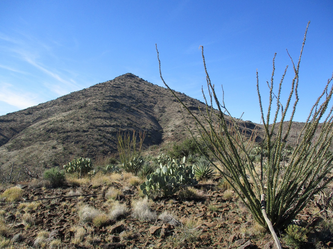
Finally, we started upward in earnest. We hiked up a moderate slope of grass and loose rocks, plus prickly-pear cactus and various plants. We went up and slightly at an angle, bypassing Point 4681 well to the south, aiming generally for Point 4850, but also deliberately angling a little left (south) of it, too, so as to meet the ridge beyond it. On this ridge, we had a great view of the final 700 vertical feet of slope ahead of us.
We walked the flat ridge for a little ways, then got to the base of the final uphill push. It looked steep from far away but once close to it, it lay back nicely. We just went uphill, dodging cactus and loose rocks as we came to them. We generally stayed left of a couple small rock bands. The rock was often loose, and with the recent rain, the ground was softer than normal. It was slow going, but not difficult. The slopes moderate toward the end, and we angled left and hiked up the final slope to the summit, arriving about 11:30 a.m., a three-hour hike covering about 4.4 miles.
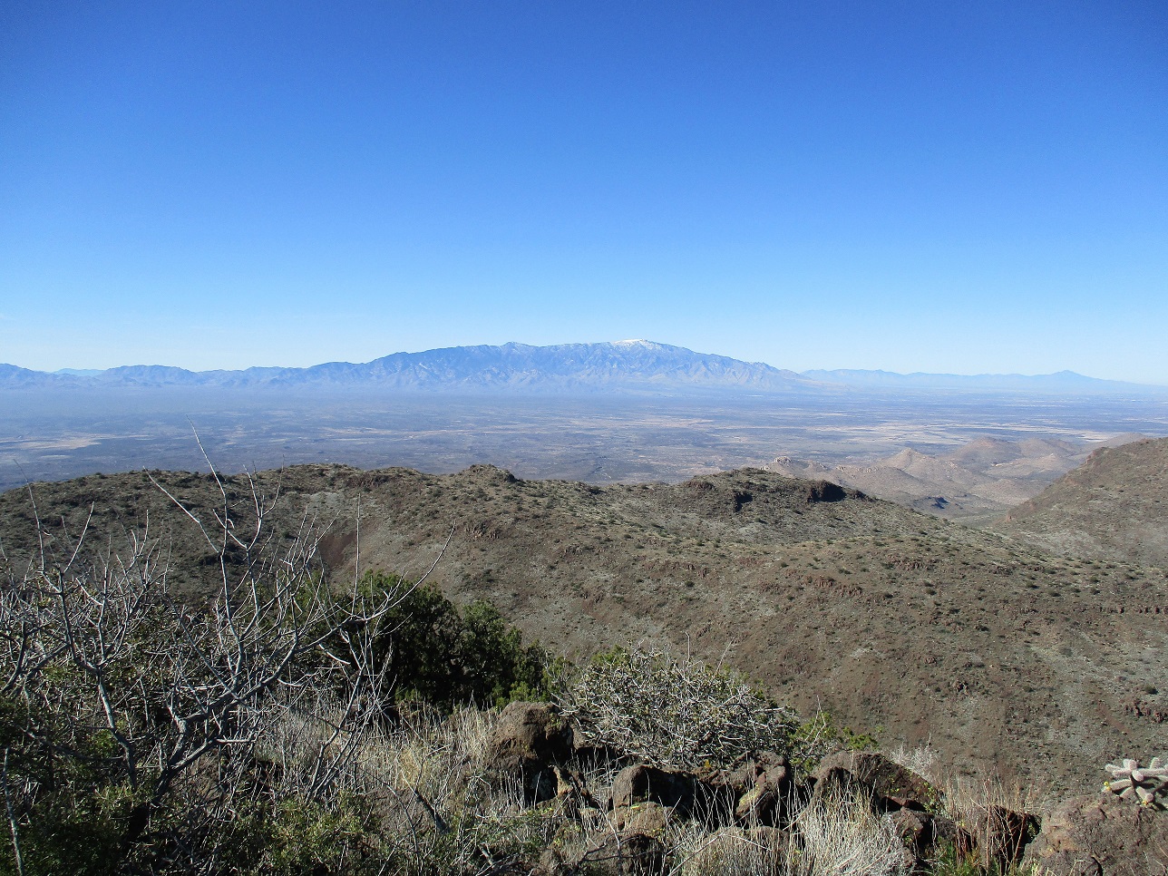
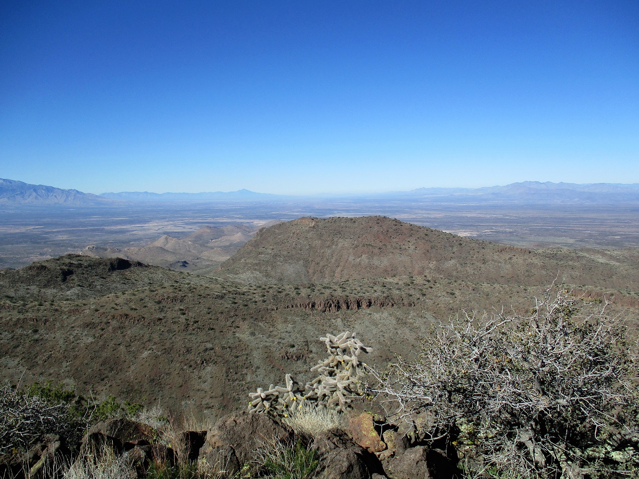
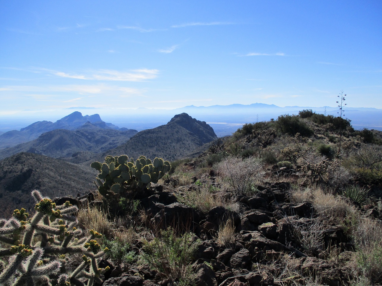
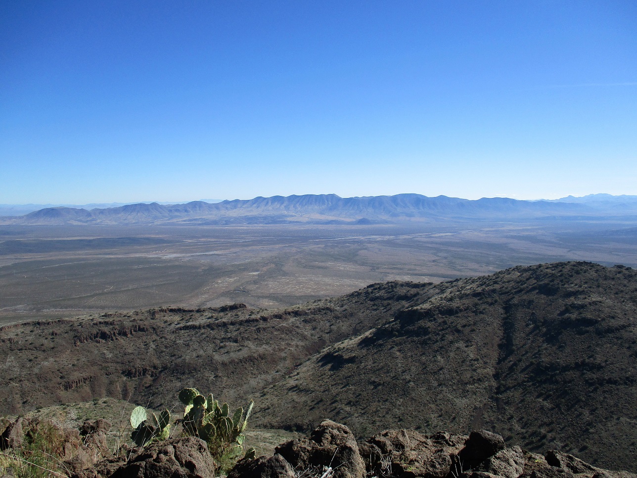
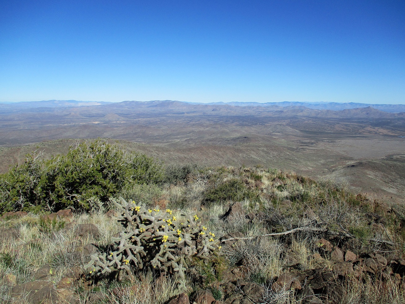
The top is a small ridge, where the eastern tip (where we were) is highest. A bump to the west looks close, but is lower. We signed into the register and took a 45-minute break, having snacks and picking out nearby peaks. The day was blue and clear, with mist still in the valley bottoms below. The best view was west, toward Mount Graham, now covered in snow for the winter. Looking south, we could see the Chiricahuas and the Dos Cabezas rise above the mist, like actual islands. Way off to the northeast, barely visible, were the snowy Mogollon Mountains in New Mexico. We could make out lots of other peaks such as Turnbull, Bryce, Guthrie, Turtle, Greasewood and Reiley, to name a few.
For the downill, we followed the same line as coming up, managing the steep slopes and loose rock carefully. We varied the route a little toward the bottom, staying in the drainage more than we had coming up. In a little over an hour, we were back to the corral, where we took a break. Then we had the two-mile walk back to Matthias' vehicle. We were back to it about 3 p.m.. After changing and putting things away, we drove out and all the way to Mesa, where I got my vehicle and we split ways.
We enjoyed this peak as it was very straightforward, and as is often the case, prettier up close than from a distance. Not many people climb this peak. The log went back to 1987 and held mostly familiar names plus a few locals who've trudged up here, but I doubt more than a handful of people climb this peak in any given year. Thanks to Matthias for the company, driving us there and back, and playing early-70s Zappa on his car stereo.
|


|