
Whitlock Mountain
December 9, 2018
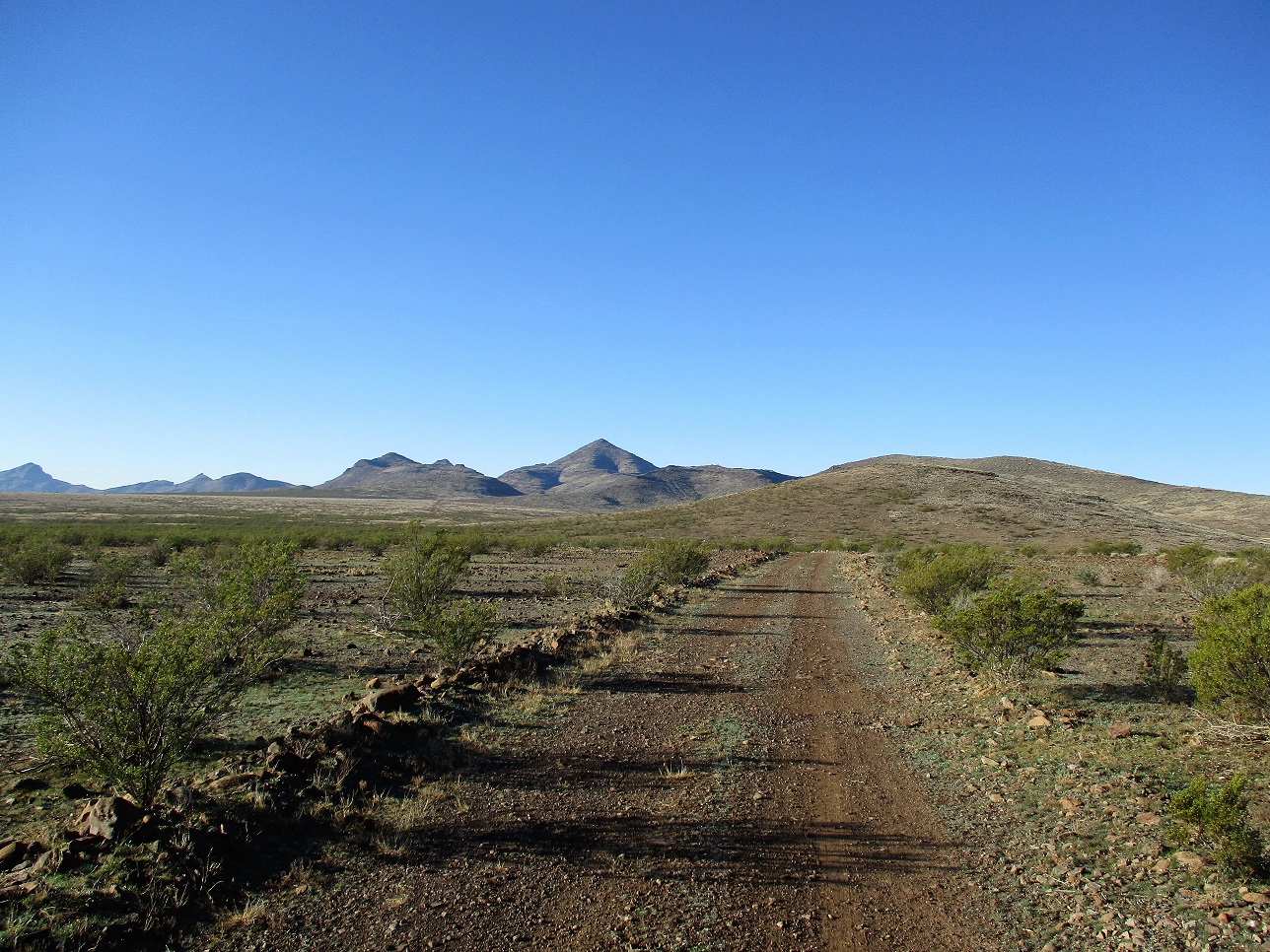
Whitlock Mountain is the pointy peak off in the distance, as we start the hike
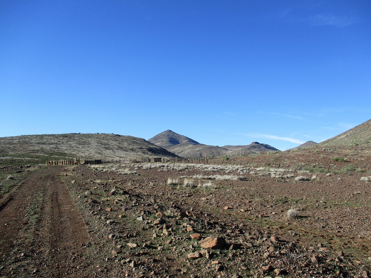
About two miles later, we come to the corral at the end of the road
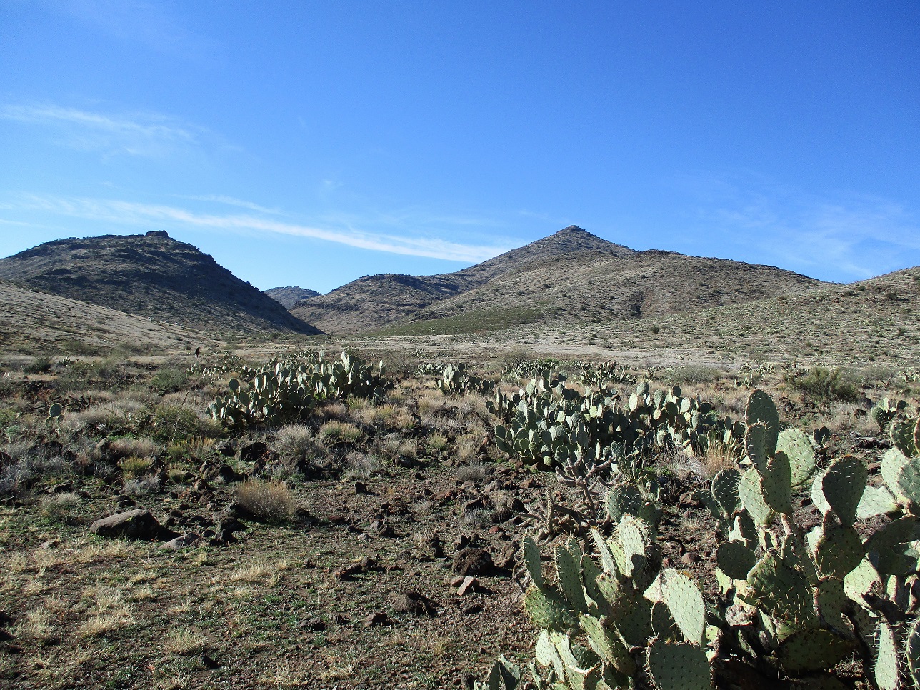
Within the approach canyon. Matthias is off to the left in the distance
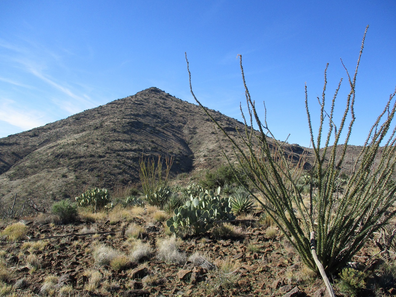
After gaining about 500 feet, we're now on the ridge below the last steep haul to the top
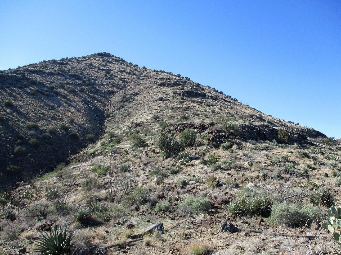
The steep climb ahead
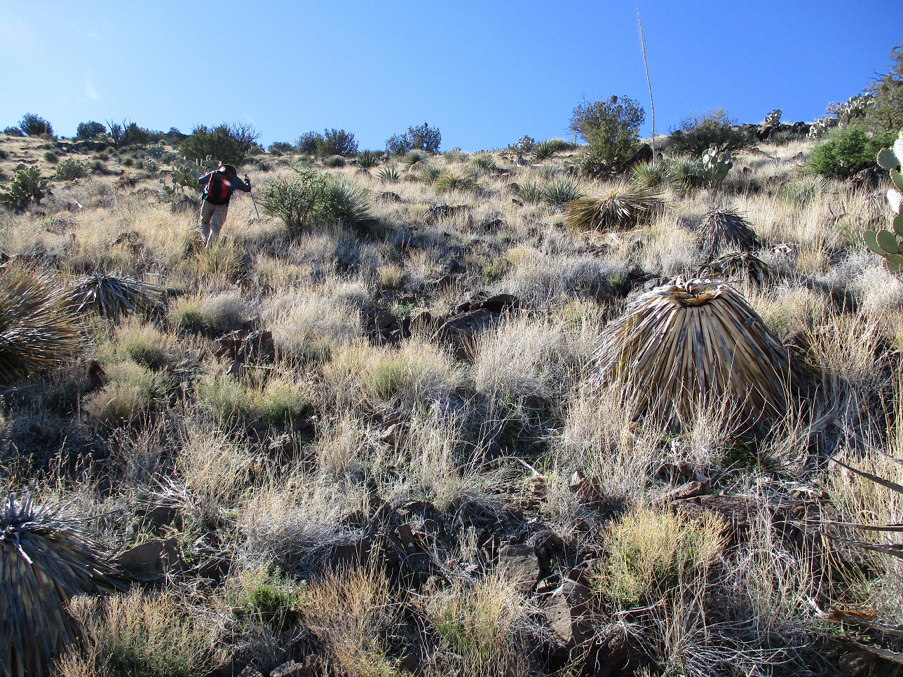
On the steep upper slopes, we battle brush and loose rocks
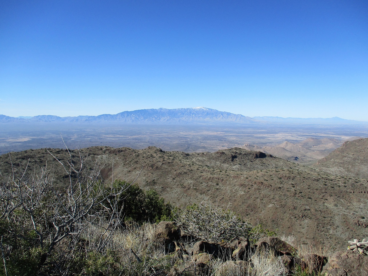
On top! Mount Graham to the west
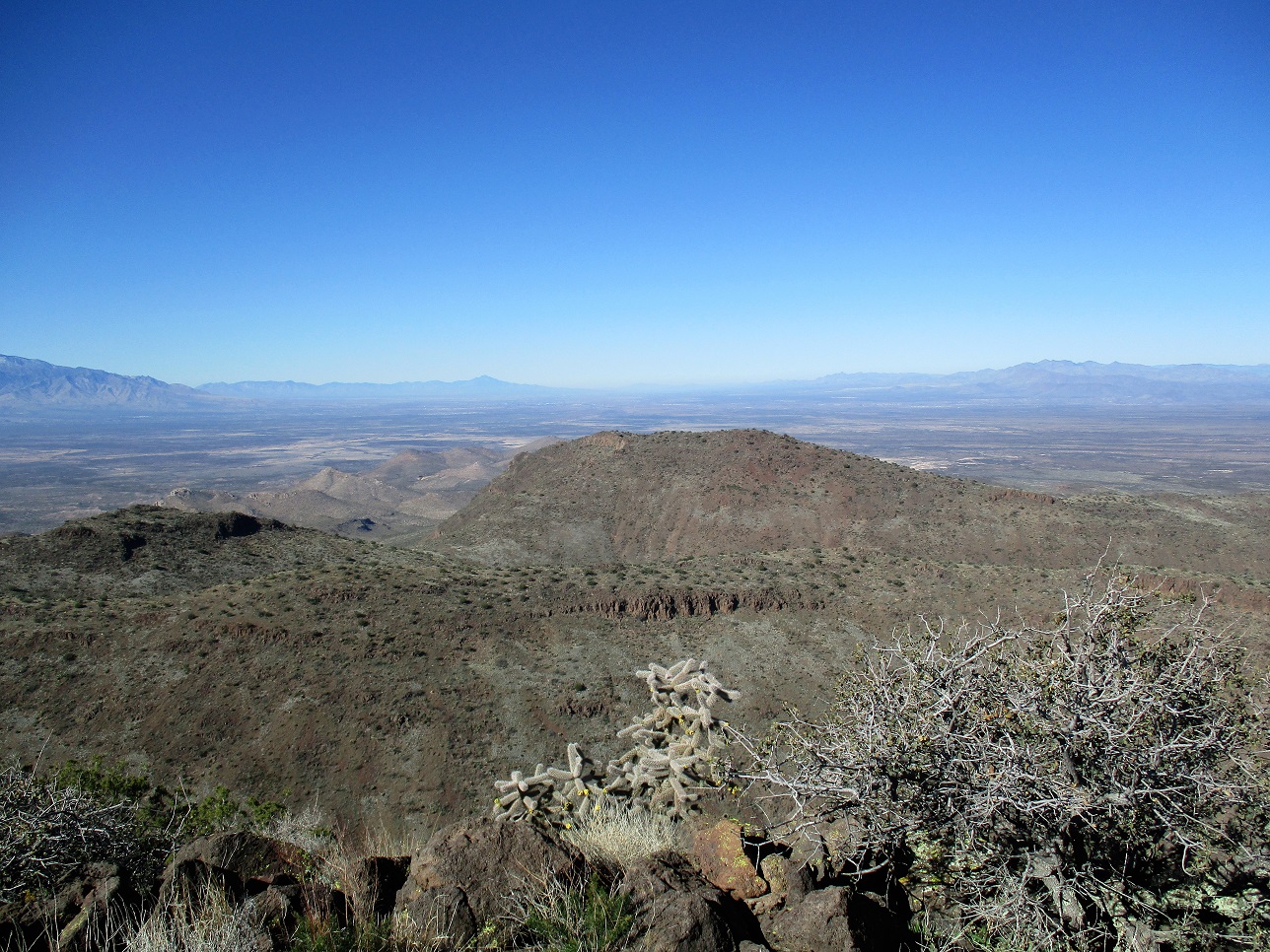
View northwest: Mount Turnbull in the distance
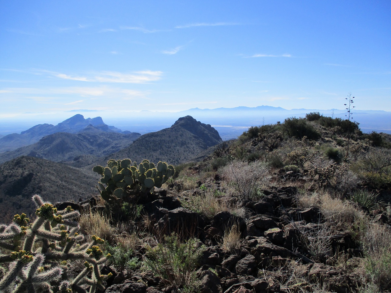
South view of the rest of the range. In the distance from left are the Chiricahua Range, Cochise Head and Dos Cabezas Peak
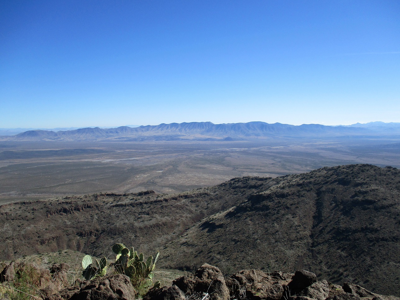
View east at the other Whitlock ... Peak
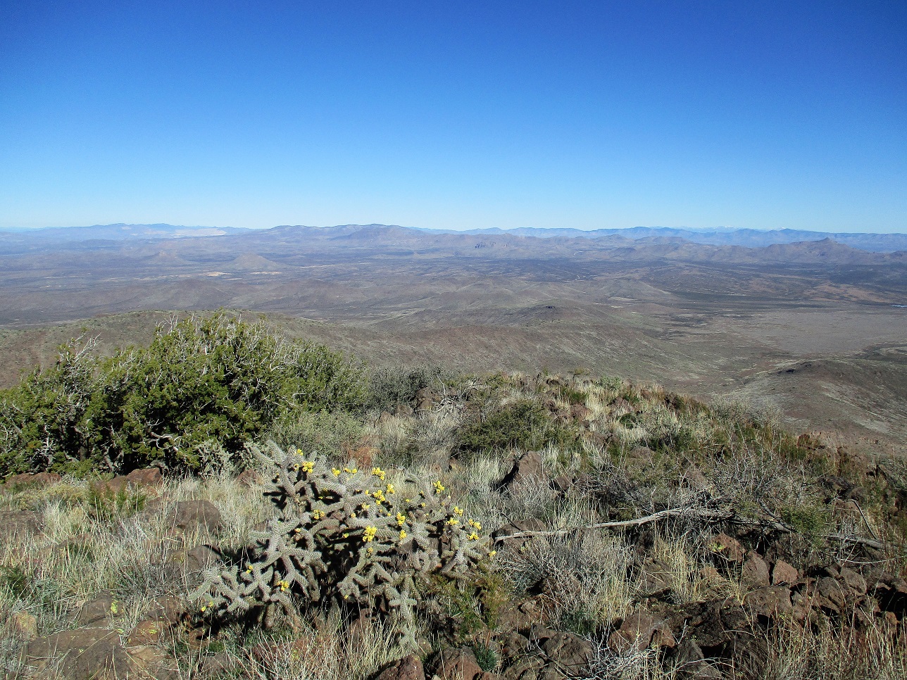
Northeast view, the snowy peaks way off to the right are the Mogollons in New Mexico
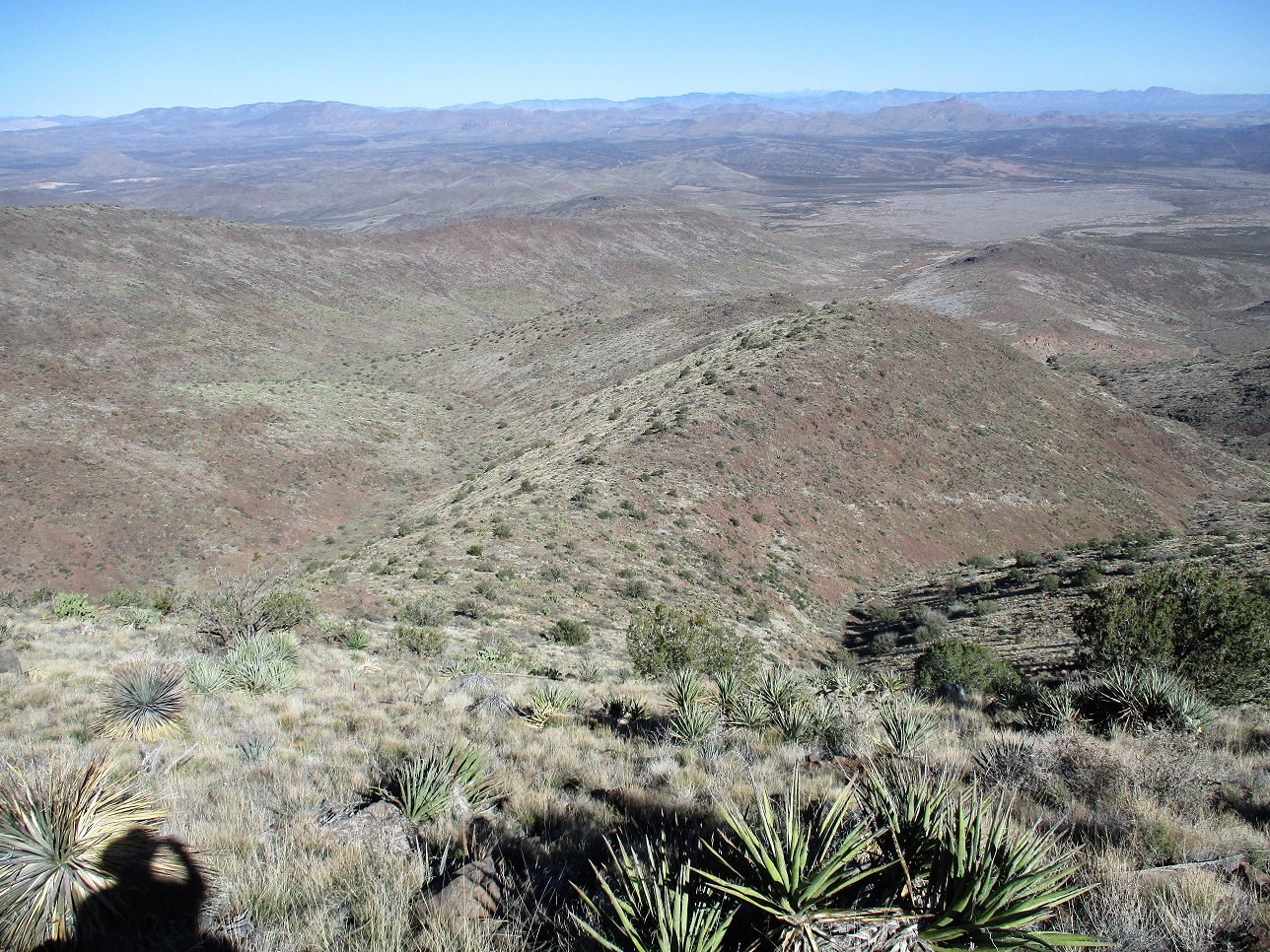
View of the ridge as we descend
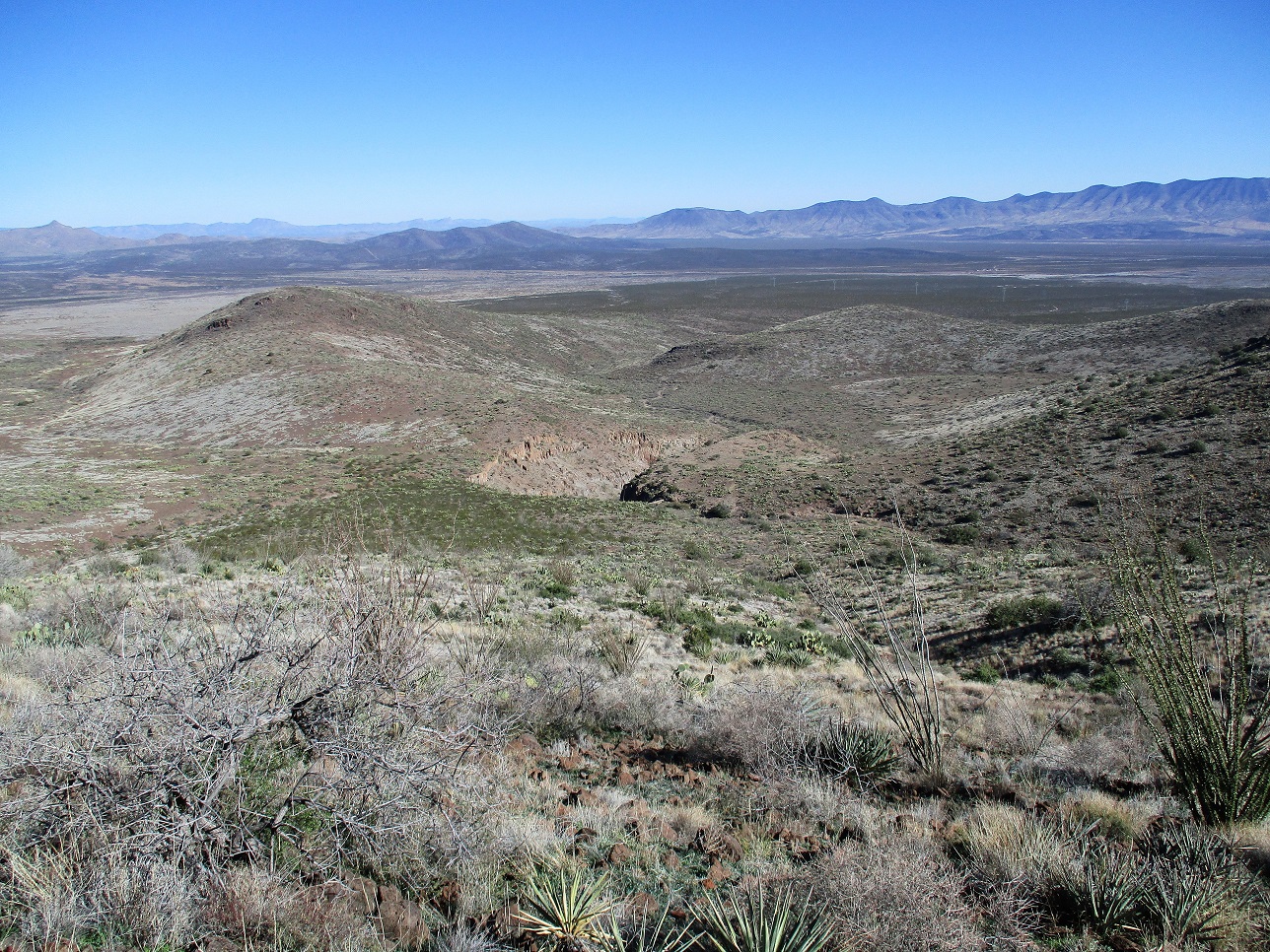
A steep-walled Canyon near Fall Tank
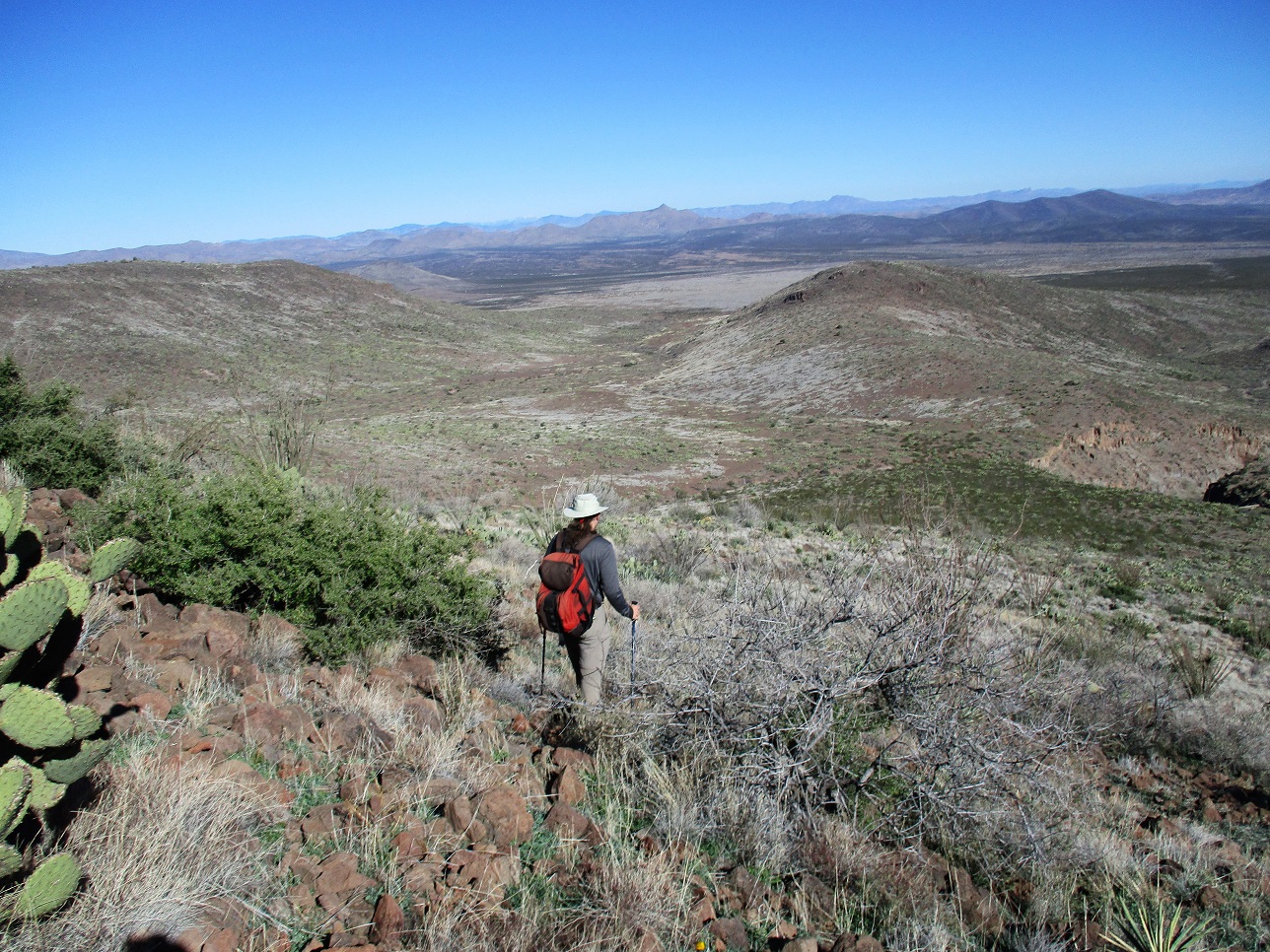
Getting lower. Our route was this canyon to the left
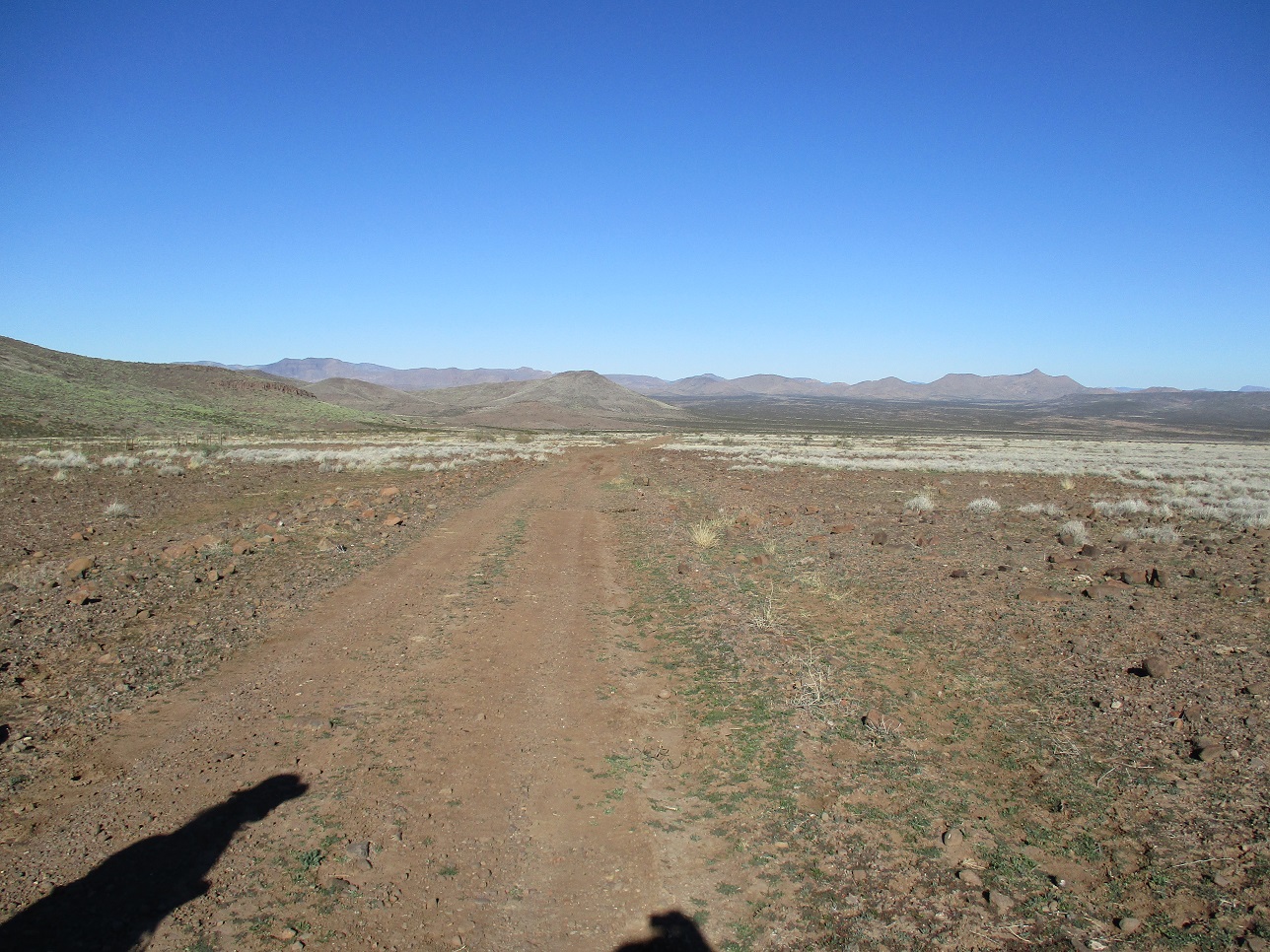
Hiking out the road, Matthias' car is below the hill ahead, but can't be seen in the image
Arizona Page • Main Page • Trip Report
Mobile version (c) 2018 Scott Surgent. For entertainment purposes only. This report is not meant to replace maps, compass, gps and other common sense hiking/navigation items. Neither I nor the webhost can be held responsible for unfortunate situations that may arise based on these trip reports. Conditions (physical and legal) change over time! Some of these hikes are major mountaineering or backpacking endeavors that require skill, proper gear, proper fitness and general experience.