The Mountains of Arizona
www.surgent.net |
|
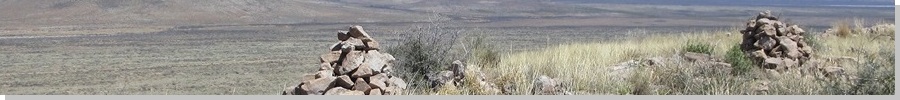
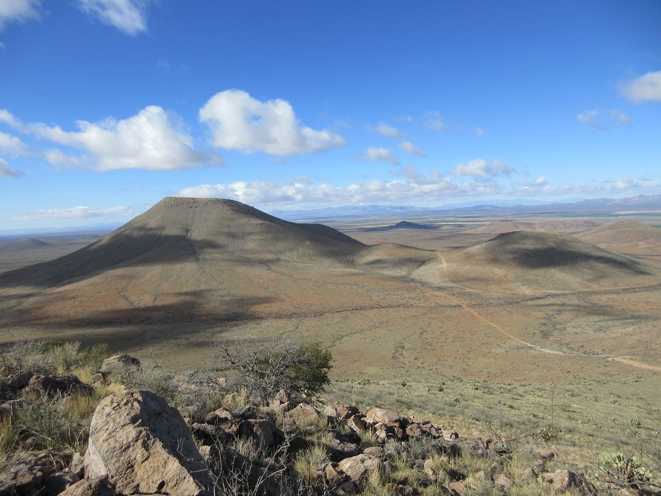
Peak 5245 • Gravel Pit Peak • Whitehead Ridge Highpoint I returned to the Squaretop Hills a day later, having hiked three peaks here yesterday. I enjoyed the hikes and the area very much, and also had identified a few more peaks that I could hike. I was motivated to return partly by the weather. Yesterday had been mostly sunny but very windy, and it was windy all last night, but at dawn this morning, it was clear and calm, and very cold for April, in the low 30s. The cold conditions would mean the snakes would not likely be out. Since most of my planned routes were cross country through brush and grass, this was an important factor. I left Bisbee about 6:20 a.m. and was to the trailhead — a corral west of Flat Top Benchmark Peak — where we had been yesterday, a little before 7 a.m.. I was ready to go in minutes and started walking at 7:03 a.m..
Date: April 6, 2024
• Elevation: 5,245 feet
• Prominence: 570 feet
• Distance: 6.7 miles
• Time: 3 hours, 3 minutes
• Gain: 1,000 feet (gross)
• Conditions: Sunny, cold, calm
Arizona
•
Main
•
PB
•
LoJ
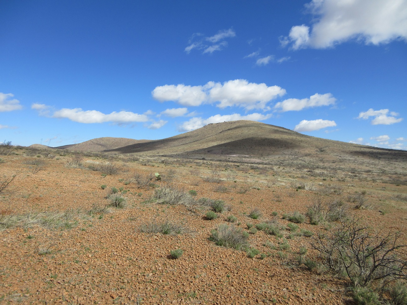
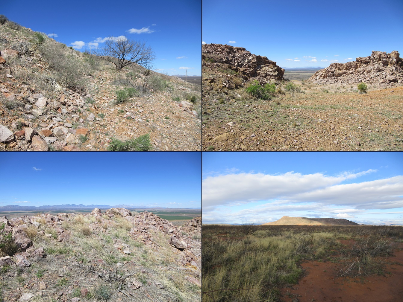
Peak 5245 rises northeast of Flat Top, and is not visible from where I started. But on yesterday's hikes, I got a good sense of a way to get there and what to expect. I crossed through the corral into the open desert plain, crossed another fence a few minutes later, and walked for about a mile northeasterly, aiming for the slopes below Flat Top's North peak. I walked toward what looked like a water tank, and soon came upon a rough track that led to this structure.
I then stayed on this track for another mile and a half as it circled around the north base of the Flat Top massif. Only now did Peak 5245 come into view. I walked until I came upon another track that went part-way up Peak 5245, ending at another set of water tanks.
This secondary track was very steep and rocky, but it allowed me to gain most of the elevation. Some cattle were uphill from me, and moving quickly across the road as I approached. They located themselves on the hillsides off the road, then for reasons only a cow would comprehend, started huffing and mooing and cow-screaming for about twenty minutes. I was nowhere near them, but when they get loud, they can be heard from a long distance.
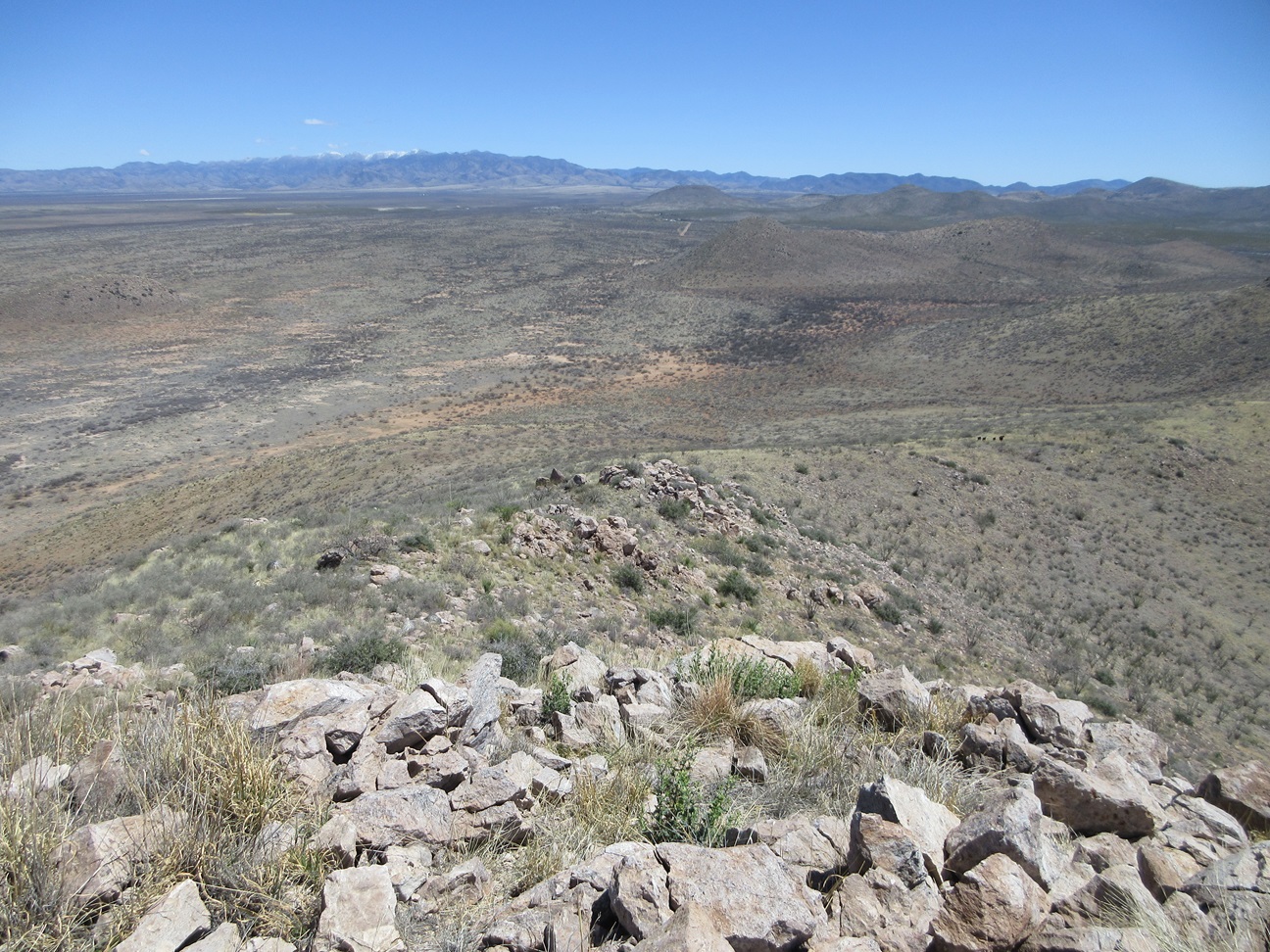
Once at the tanks, I started uphill, no more road to follow, but I was able to keep to a track that looked like a cattle path. This got me about halfway up this slope. The last half was much rockier, but I was able to manage the rocks by using my feet and poles only; I never needed hands. I was pleasantly surprised that as soon as I popped above the rocks, I was essentially at the summit. The one-way hike had taken about 90 minutes, covering a little over three miles.
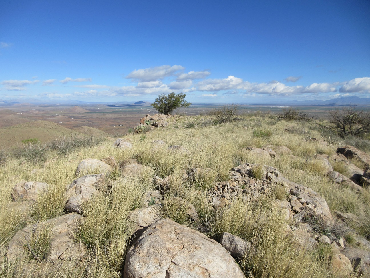
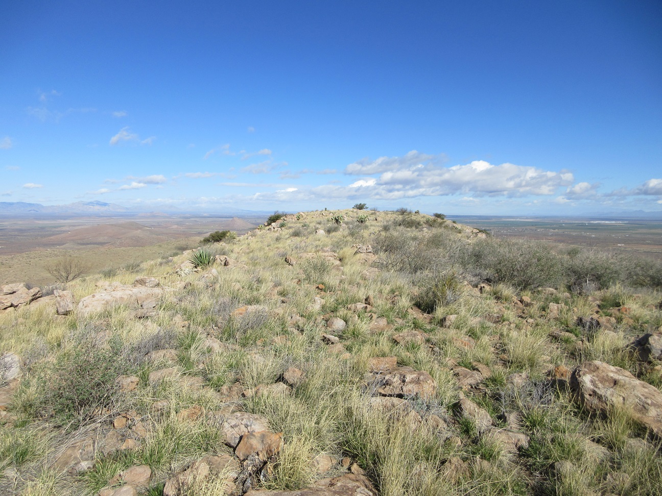
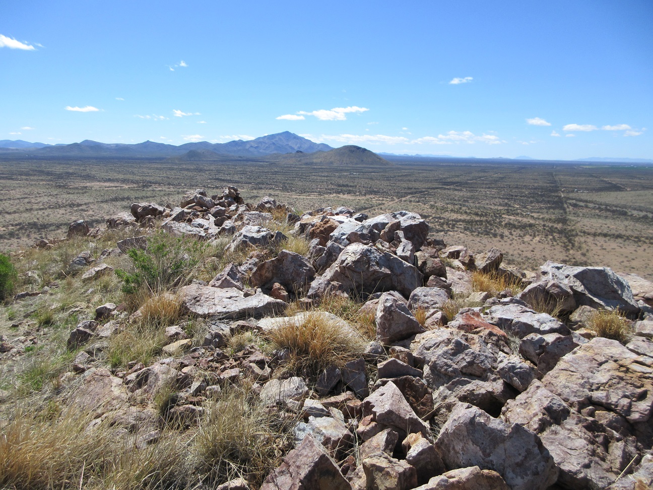
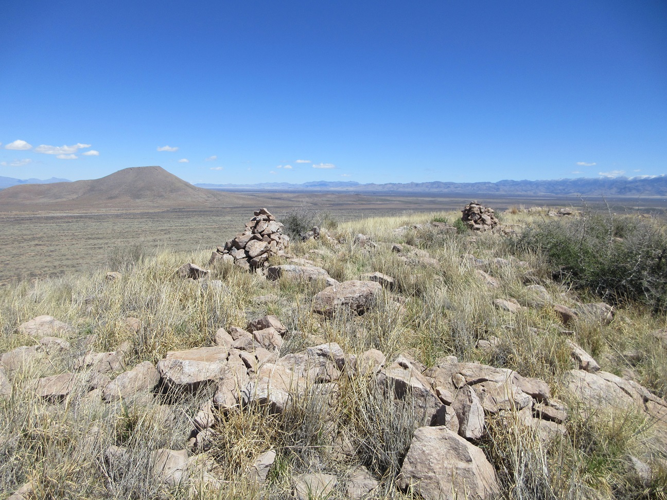
The top is a long ridge, so the highest point was not very distinct. I tagged about a dozen rocks and rockpiles, but could not locate a register. Conditions were pleasant, very chilly, but calm with just a few lingering clouds. I did not stop for a break, but took my time as I walked the summit ridge tagging the rocks. Views were good. In particular, the Chiricahuas got a lot of new snow from yesterday's storm the followed the winds.
For the descent, I continued southish along the ridge, as it appeared to make a long gentle drop back down to the desert flats. I would be obliged to circle around the south end of Flat Top Benchmark Peak, but this appeared to be about the same distance as going back the way I came.
The drop went well and was very easy, the gentle grades making travel go by fast, not having to test every rock for stability. As I descended close to the flats, three SUVs were slowly driving up a track. I had no idea who they were. Likely not a rancher because they usually don't drive three vehicles at a time. Later, I would discover it was a Southern Arizona Hiking Club group on a trip to climb Flat Top. I did not rush up to meet this group. I was too far away, and I preferred to lay low anyway. I only knew about the SAHC outing by seeing it on their website later.
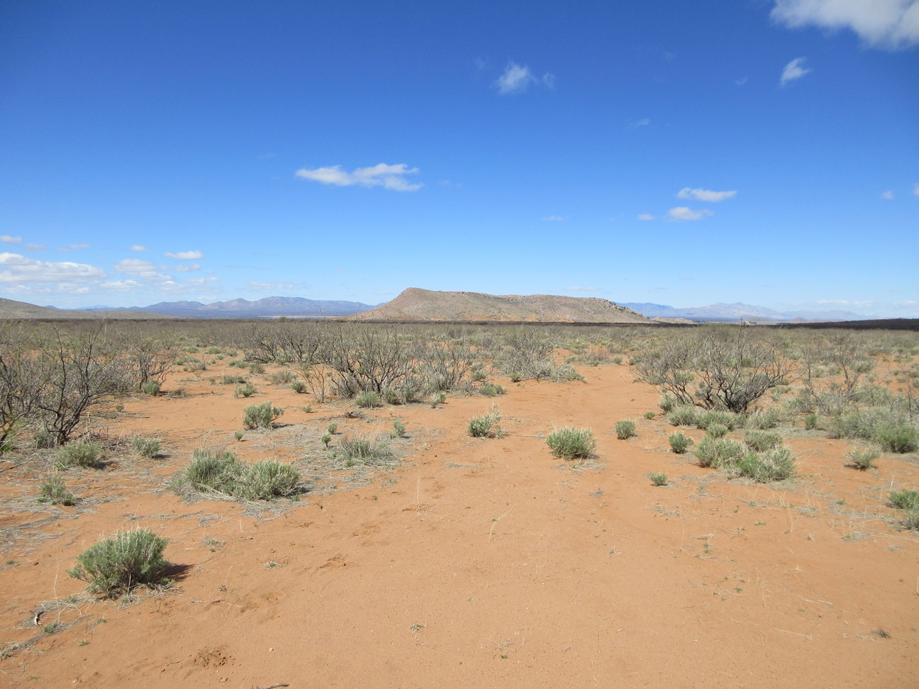
The hike back to my car covered about 3.5 miles, almost all of it cross-country. I stayed too close to the lower slopes of Flat Top, and the steep gullies forced me downslope often, causing me to zig-zag much of this segment. I was fnally on the flats west of Flat Top, and back to my car at 10:06 a.m., a three-hour and three-minute round-trip journey. Using an online distance calculator, I determined that I covered 6.7 miles for the whole loop, which is conservative as it does not take into account all the little wiggles and corrections of my track.
I rested for a few minutes back at my car. The corral looks maintained and regularly used, but I never saw anyone or had a sense anyone had come by. My next hike would be a quickie, just a half mile to the west.
Elevation: 4,690 feet
• Prominence: 320 feet
• Distance: 1.2 miles
• Time: 30 minutes
• Gain: 315 feet
• Conditions: Same
PB
•
LoJ
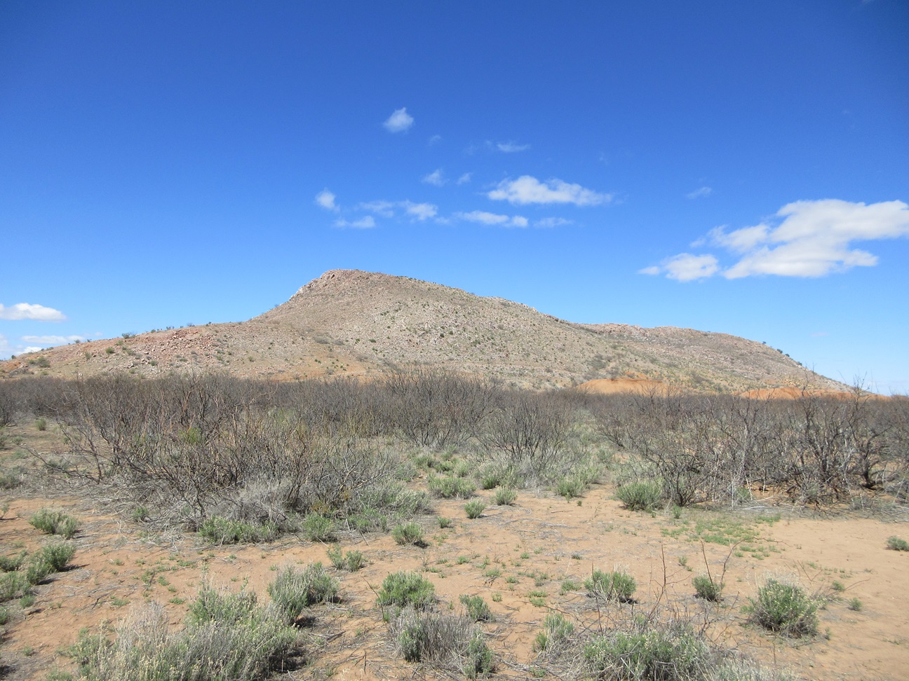
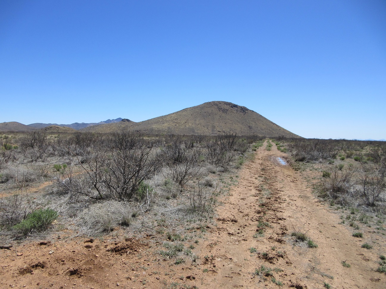
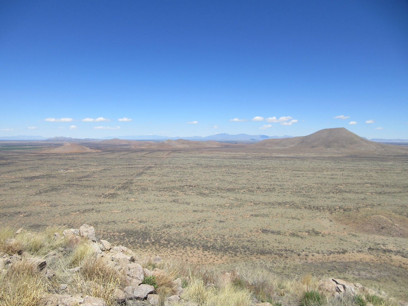
Peak 4690 rises west, a loaf-shaped peak with a long rocky spine. The maps show an ancient road that goes to its top, where there is a gravel pit. The satellite images showed the road but it looked rough and likely abandoned. The hike itself looked short.
I drove a half mile and parked in a thicket of mesquite, very near the base of the hill. I walked through the trees for about five minutes, then out into the open, near some large gravel piles and old roads. I was soon on the road to the top.
This road is decades old and in places, mature mesquite grows right in the tread, suggesting a vehicle hasn't been on this road in probably 50 years. The road makes one bend then aims for the top. Near the top, I came upon the gravel pit.
I don't understand the science behind gravel pits, and cannot explain why they'd go through the trouble of developing a gravel pit on top of a hill as opposed to simply digging it up at the base. The gravel pit is mere yards from the summit, which itself has been artificially "enhanced" by the bulldozers of yore, when they piled up the rocks to get to the gravel beneath.
The top had three rocks that looked equally high and it took just a minute or two to tag them. The southernmost rock had a cairn but no register, and I wasn't expecting one. This was not a particularly interesting summit and I got what I came for, so I turned around and jog-walked out. The round trip covered about 1.2 miles and took me just a half hour.
I was back to my car quickly, where I again relaxed for a few minutes. I had one more peak on the docket, this being south of Rucker Canyon Road.
Elevation: 4,912 feet
• Prominence: 417 feet
• Distance: 2.4 miles
• Time: 1 hour, 45 minutes
• Gain: 415 feet
• Conditions: Beautiful
PB
•
LoJ
I drove back to a pullout just north of Rucker Canyon Road. Whitehead Ridge rises south about a mile. It's a hill about a mile long with its highest point conveniently on its north end. Amy had hiked it yesterday after we parted ways and she texted me some images of it and said it was a good hike.
I started walking, the time about 12:15 p.m.. I walked into the mesquite brush and followed cow paths through the tangles, paralleling a fence line. About a hundred feet in, I came upon a gate, seemingly out of place, but hey, it's a gate, so I opened it just enough to squeeze through and get on the east side of the fence, in more open terrain.
I had not realized it at that moment, but there is a track on the west side that I could have driven in, cutting off a half mile each way. I was unaware there was a track at all. It was about ten yards west of the fence, and I simply did not see it when I crossed Rucker Canyon road.
On the east side of the fence now, I angled on a slightly southeast bearing, aiming for a lowpoint in the ridge ahead of me. The terrain here was much more open, so I made excellent time. A small band of cows were ahead of me. They ran "away" — in front of me laterally. So they weren't farther away. They were just on the opposite side of me.
The cows had congregated about where I was heading, so I altered my tack a little to give them room. They were plenty far from me, but they continued to jog, but never away. They seemed to jog to about where I was going. I was getting annoyed with them. The loudmouths from earlier this morning were still on my mind. Revenge shall be mine, I thought, knowing some day I will eat part of them, or their kith and kin.
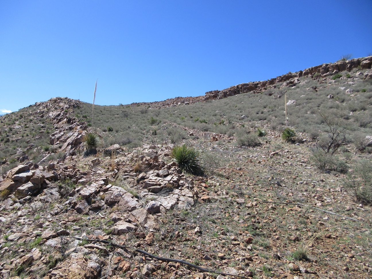
I had to pass through a small thicket of mesquite near the base of the mountain, then started upslope, the gradient steepening suddenly. The lower slope was brushy and rocky, but easy. I angled up and left, trying to get below a long ridge that seemed most friendly to gain the top. Cow paths helped in places.
I then angled directly upslope and marched slowly upward, keeping to open lanes most of the way. Toward the top, I encountered a rock band, but was able to weave through it without needing hands. Above it, I was on a gentler slope with the summit up ahead.
This final slope went well, being rockier but with lanes to follow and the rocks served as stair steps in places. The last couple dozen feet were steeper and rockier, but easy, and I was soon in the summit ridge.
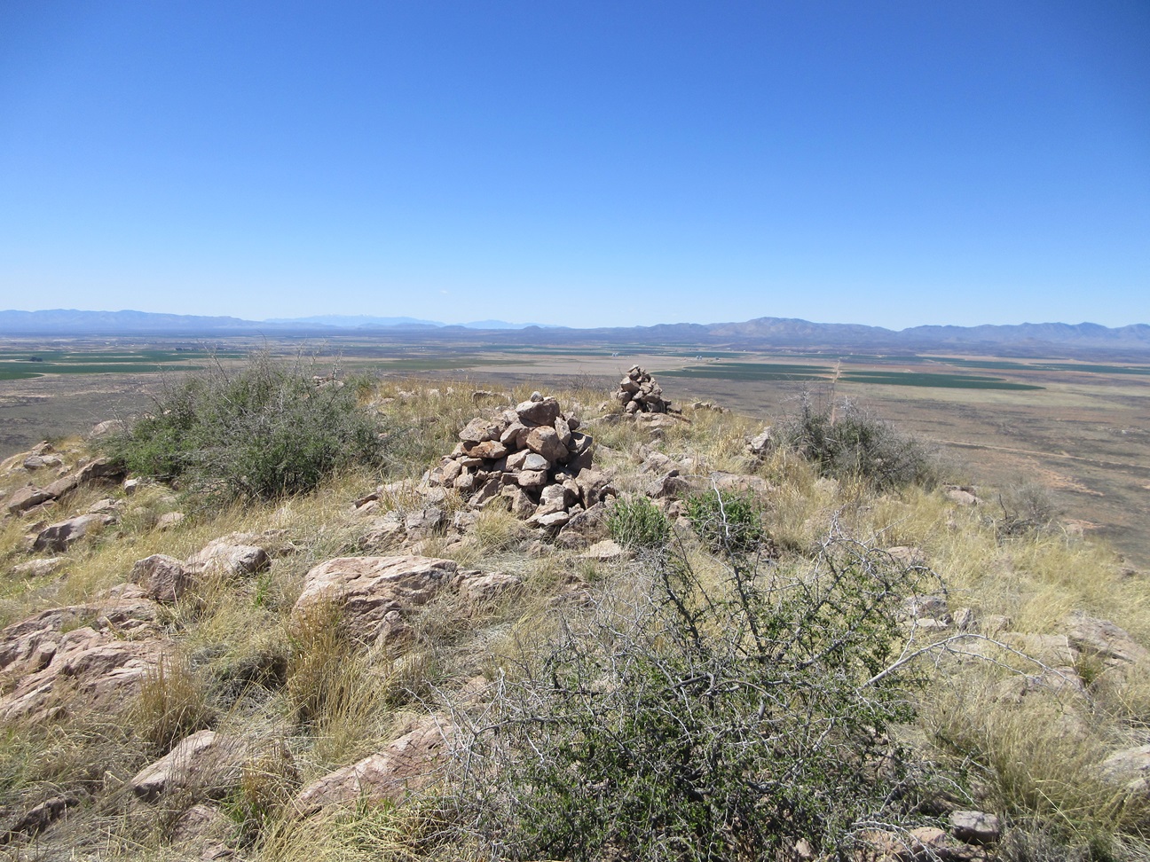
The ridge runs about half a furlong (a hundred yards; no metric units on this page today). There are two very large cairns spaced about thirty feet apart, but the highpoint could have been any of another dozen rocks along the ridge. I tagged all contenders.
The eastern of the two cairns held the registers, there being two. One was placed by Bob Martin from 1990 and the other by Mark Nicholls from 1996. Maybe Mark didn't see Bob's register when he was here. Neither had many signatures. Amy's was here from yesterday. A couple BoPo guys had climbed up many years ago. Many of the names were not recognizable, probably locals. I signed into both.
I spent about ten minutes up here on a good sitting rocks. Views were very good, and the day was calm and sunny. I was a little beat, having hiked almost ten miles total today. There was no reason to rush things. I liked this summit the best out of the three I hiked today.
I hiked down the same way, then back on the flats, angled toward the fenceline and found another gate to pass through. This is when I discovered the road. I walked it about a half-mile back to Rucker Canyon Road and then back to my car, the time just shy of 2 p.m., a one-hour and 45-minute hike. I was ever-so-slightly annoyed that I had not seen this road, otherwise I would have driven it in. It's not a bad road and it is not fenced, gated or posted.
I was done for the day, pleased with the day's hikes. I put in over ten miles today, and almost 16 miles for the two days combined, with six peaks to show for it. There are a few more peaks in the area, and I'll be back, but with things warming, it may be a few months.
|


|