April 6, 2024
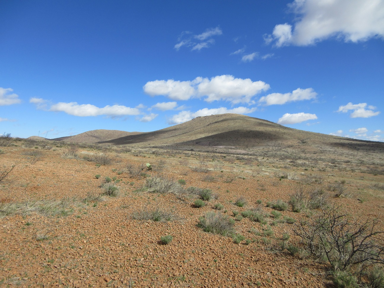
Peak 5245 from the southwest as I was returning to my car. I had better lighting from this side
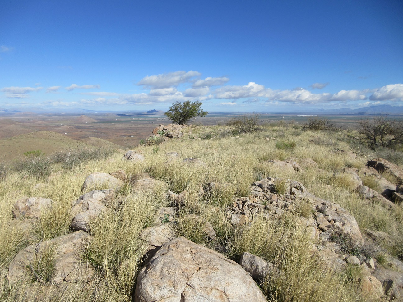
Summit rocks of Peak 5245
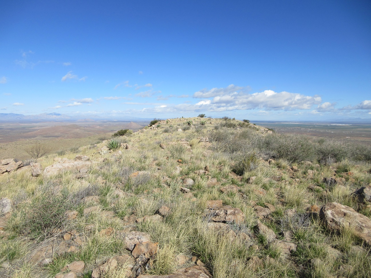
Summit of Peak 5245 from a distance
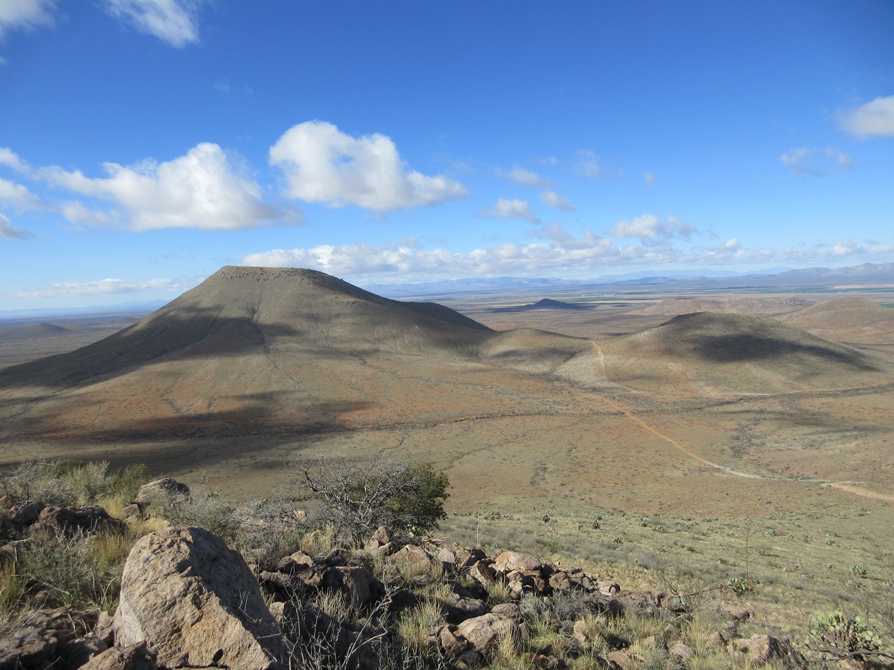
Look over at Flat Top Benchmark
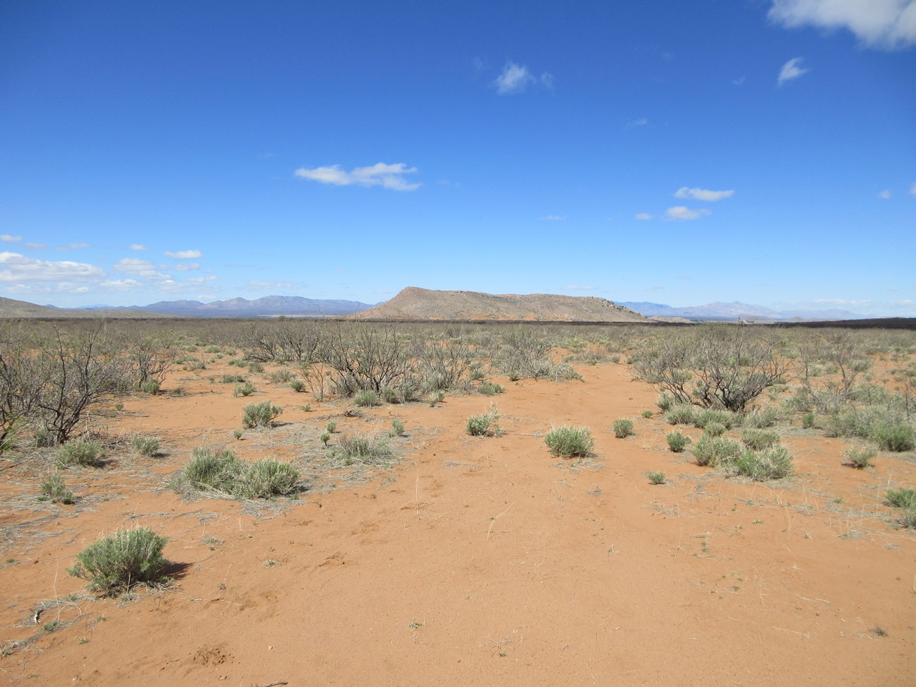
Peak 4690, or Gravel Pit Peak
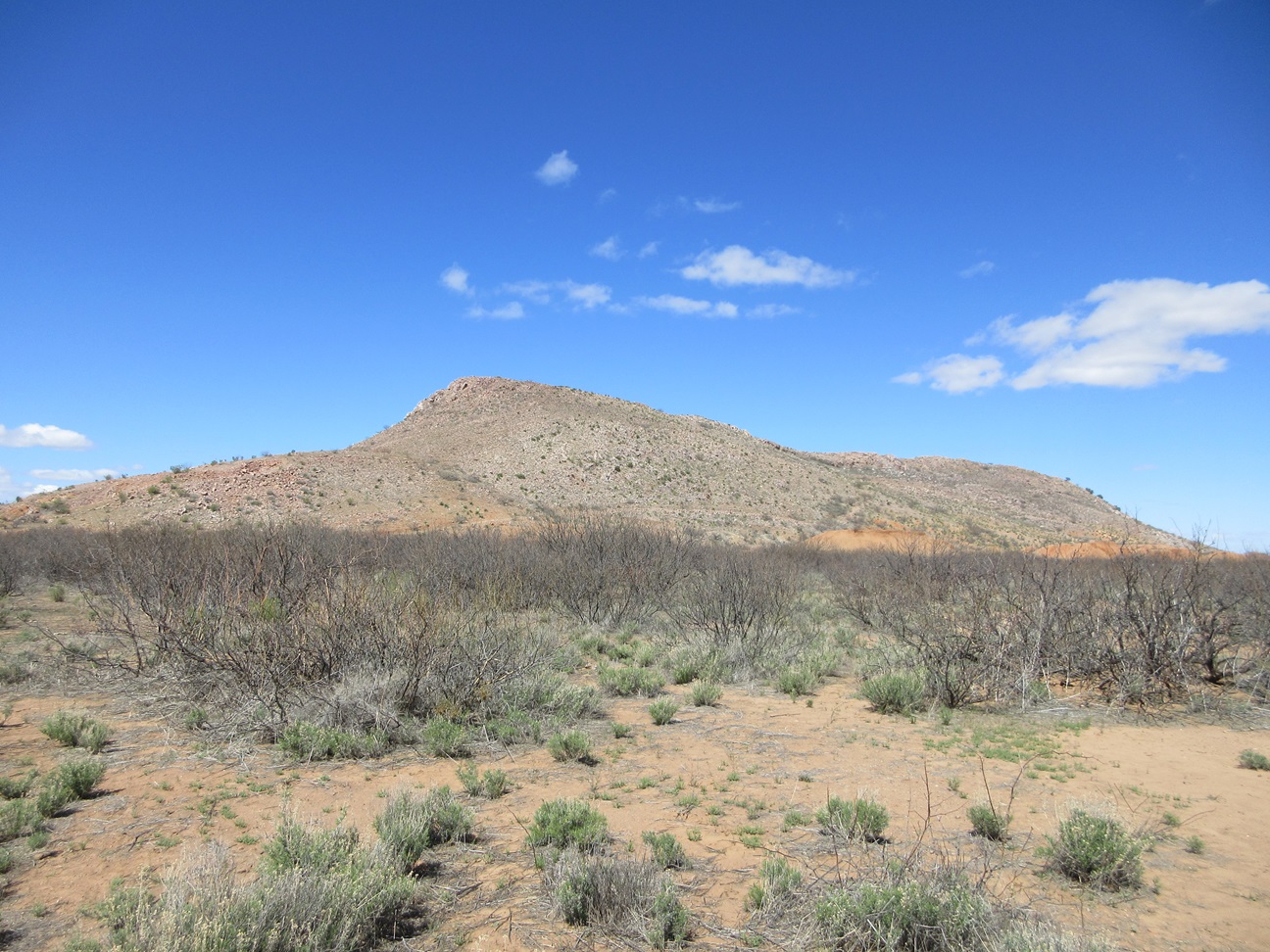
As seen from where I parked
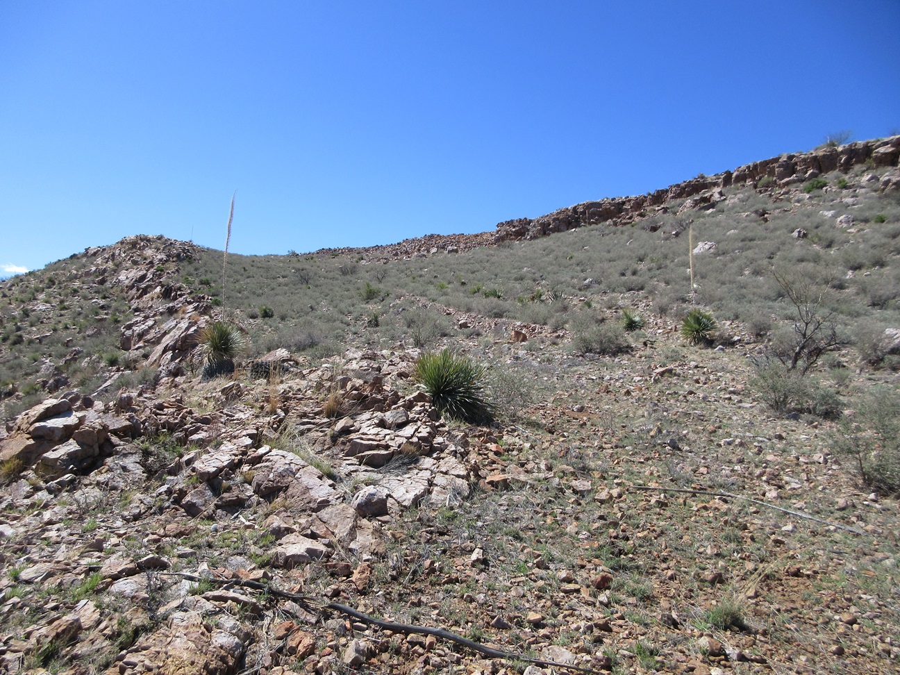
The upper road is hemmed in between two small cliffs
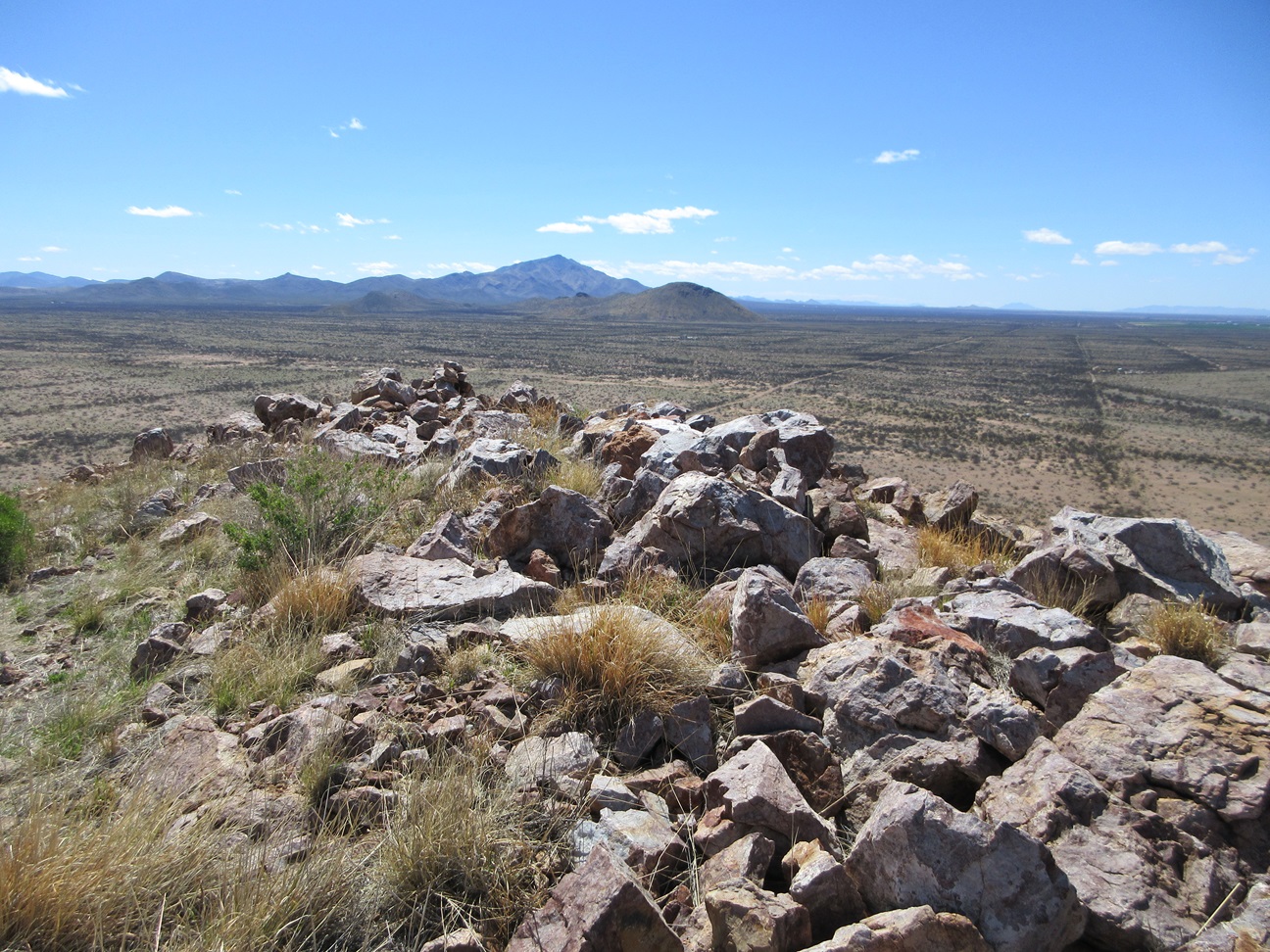
Summit rocks and cairn, view south toward Whitehead Ridge. That's Swisshelm Mountain way in back
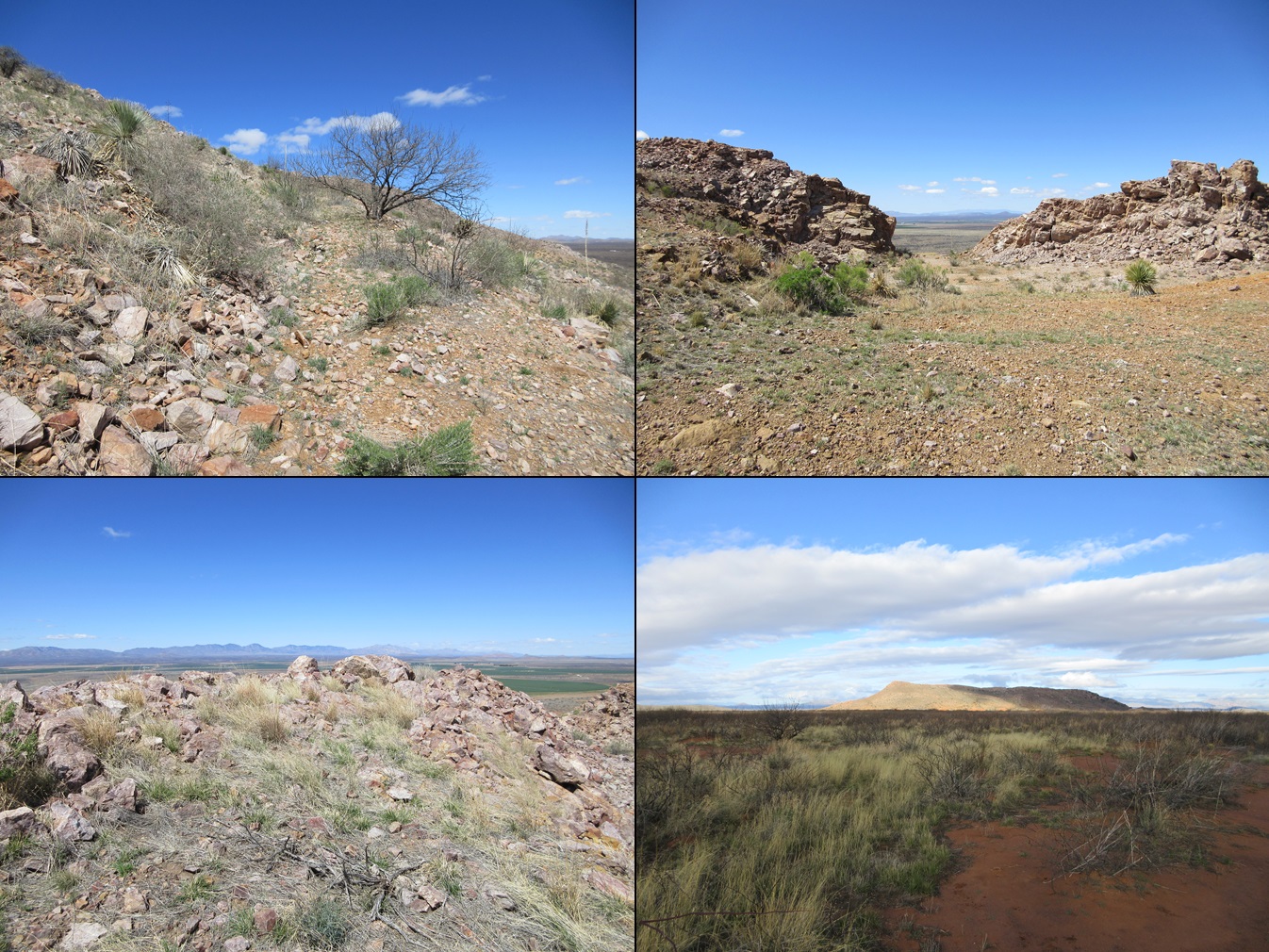
Montage of Gravel Pit Peak: a tree in the road, the actual gravel pit, more summit rocks, and as seen at dawn
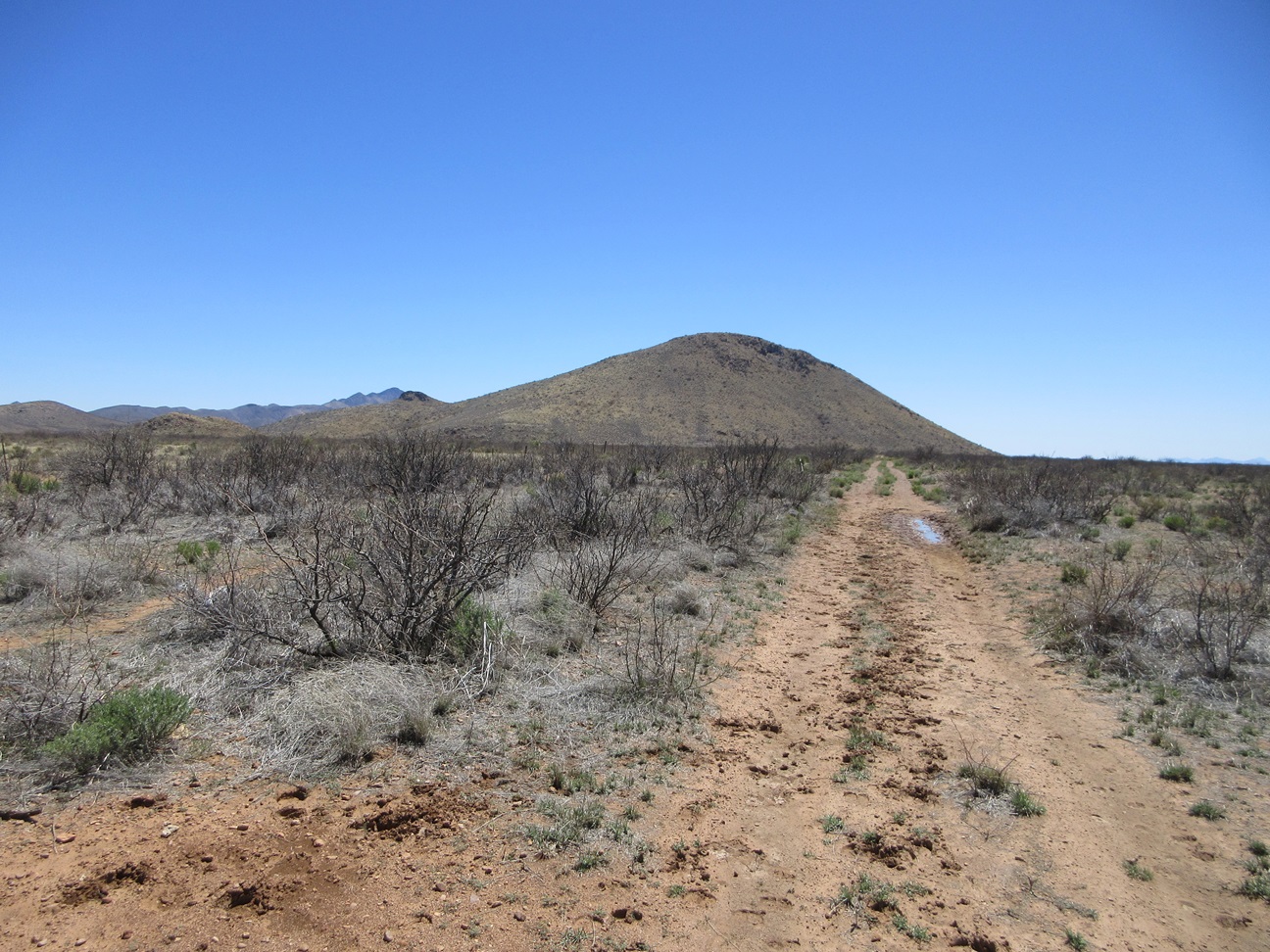
Whitehead Ridge Highpoint
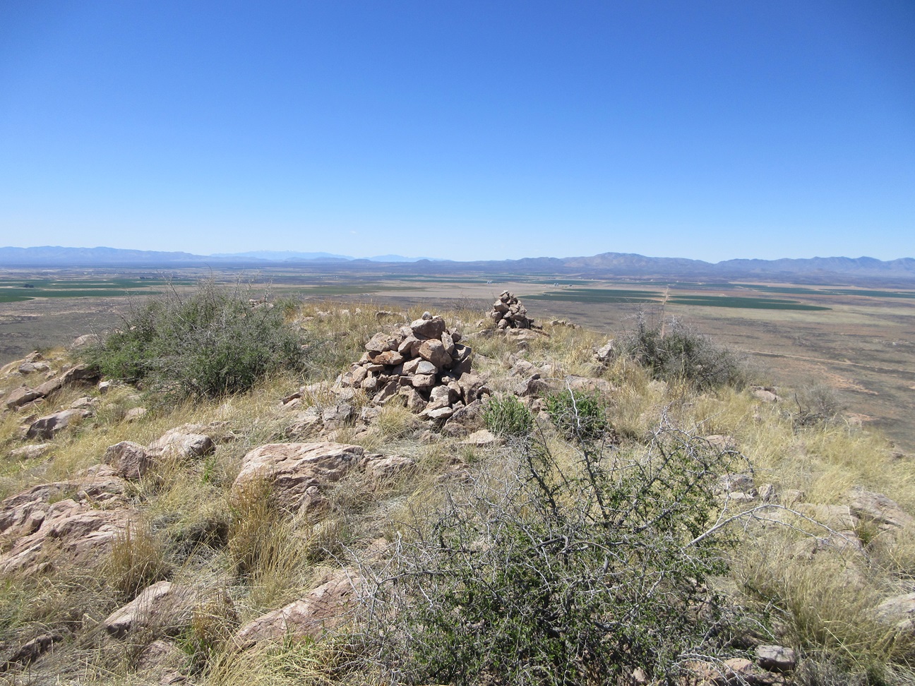
Summit cairns of Whitehead Ridge
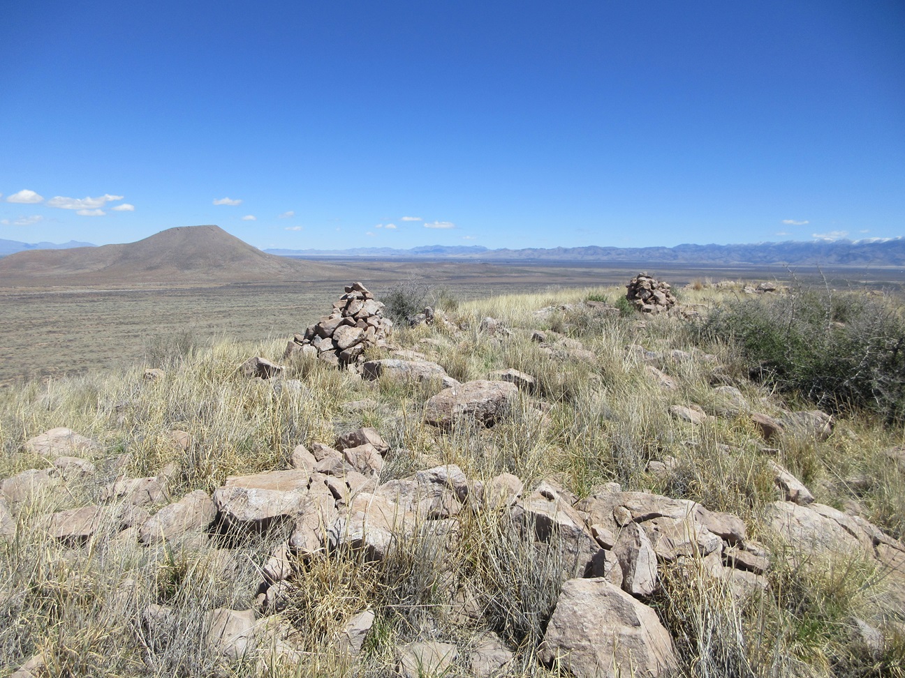
Now viewing north, Flat Top is seen in back
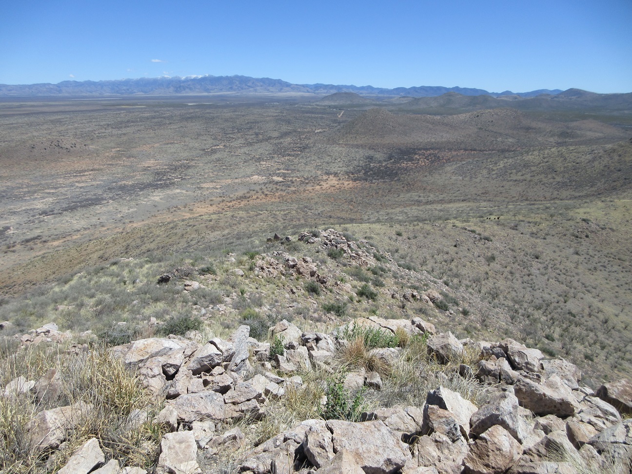
Look down at the ridge, some cows are in the saddle below right
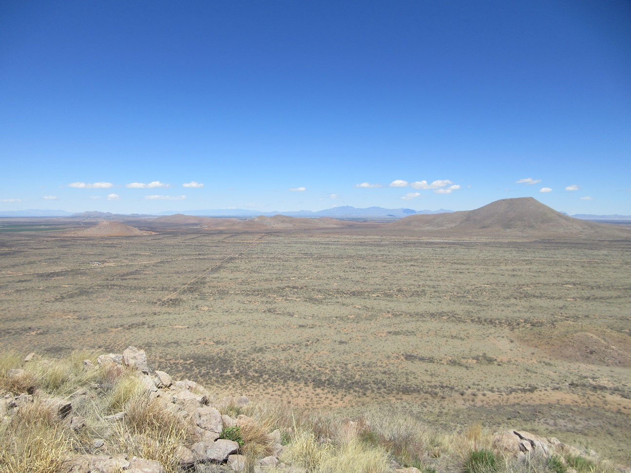
Flat Top and its surrounding hills
Arizona Page • Main Page • Trip Report
(c) 2024 Scott Surgent. For entertainment purposes only. This report is not meant to replace maps, compass, gps and other common sense hiking/navigation items. Neither I nor the webhost can be held responsible for unfortunate situations that may arise based on these trip reports. Conditions (physical and legal) change over time! Some of these hikes are major mountaineering or backpacking endeavors that require skill, proper gear, proper fitness and general experience.