The Mountains of Arizona
www.surgent.net |
|
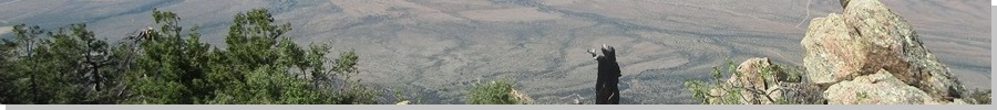
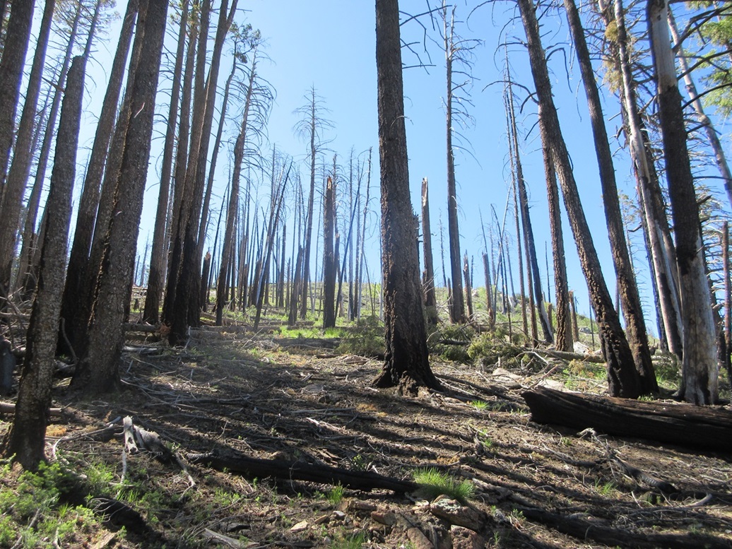
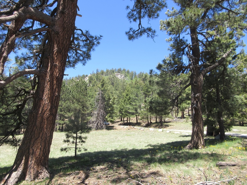
Grant Hill • Merrill Peak • Grand View Peak I returned to the Pinaleño Mountains for the first time in 14 years to climb the two remaining ranked peaks I had yet to do, plus one more unranked peak nearby. The peaks on the agenda — Grant Hill, Merrill Peak and Grand View Peak — all also exceed 9,000 feet, so I'd be claiming a few more 9ers for my records. I was up early and on the road at 4 a.m., leaving Bisbee and taking local connectors to US-191, then Kansas Settlement Road into Willcox where I topped the gas and got snacks. Then onto Interstate-10 briefly, then onto US-191 northbound again, aiming for Safford. I did not go as far as Safford. On the southern outskirts of town, I turned west onto the Swift Trail Parkway (AZ-366), the main road that gains onto the highest crest of the Pinaleño Mountains. I'd be following this road all the way to its end near Riggs Lake and Merrill Peak, about 35 miles distant. The road is steep, gaining over 5,000 vertical feet over about 25 miles. I had forgotten much of its twists and turns in my 14 years' absence from this range, so it was like driving it for the first time again. It was still early, about 6 a.m., so there was no traffic at all. I got in behind another motorist about halfway up, but stayed back, no need to rush him. Given the curves, grades and portions with no guardrails, it's rare to go faster than 20 miles per hour on any segment. The drive went well and I was on the range crest near Ladybug Peak, in a little under an hour. I enjoyed the transition from high desert scrub and chapparal down low to the tall pines of the upper crest, and everything in between. This would be my fifth time in the high Pinaleño Mountains. I was here in 2000 when I climbed Mount Graham and again in 2003 when I reclimbed the peak with this lady I met on the internet. Back then, the upper range crest was all big healthy forests. In 2004, the Nuttall Fire swpt through and burned much of the highest elevations. We returned in 2005 to hike Heliograph Peak, where we saw the effects of the fire. In 2010, we camped two nights and I climbed Ladybug and Webb Peaks. Then, the Frye Fire took hold in 2017 and reburned a lot of the high crest. I was curious what effects it may have, seven years later now.
Date: June 1, 2024
• Elevation: 9,477 feet
• Prominence: 377 feet
• Distance: 3 miles
• Time: 1 hour, 20 minutes
• Gain: 377 feet
• Conditions: Sunny, clear, slightly cool
Arizona
•
Main
•
PB
•
LoJ
I rolled into the Grant Hill Loop Trails parking area a little before 7 a.m., this being about two miles past the end of the pavement. It was sunny and pleasant, in the mid 50s, which is kind of warm for 7 a.m. at over 9,000 feet (It would be a hot day in the deserts, for sure).
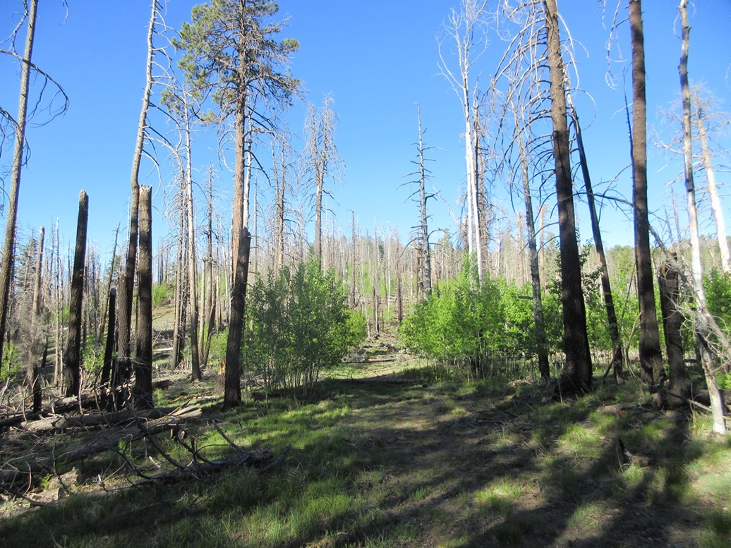
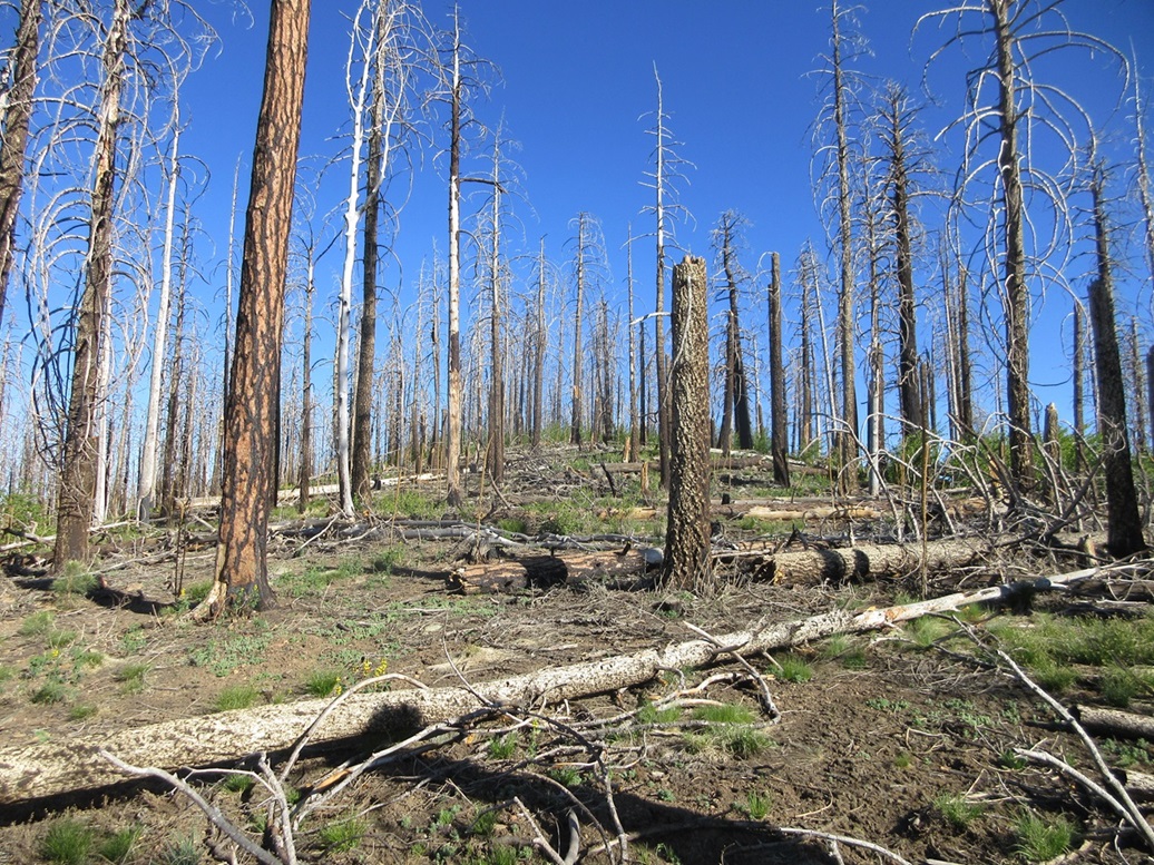
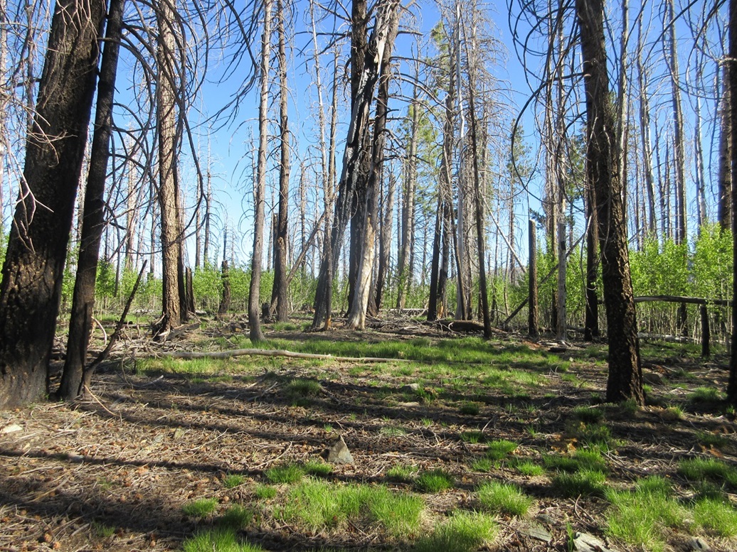
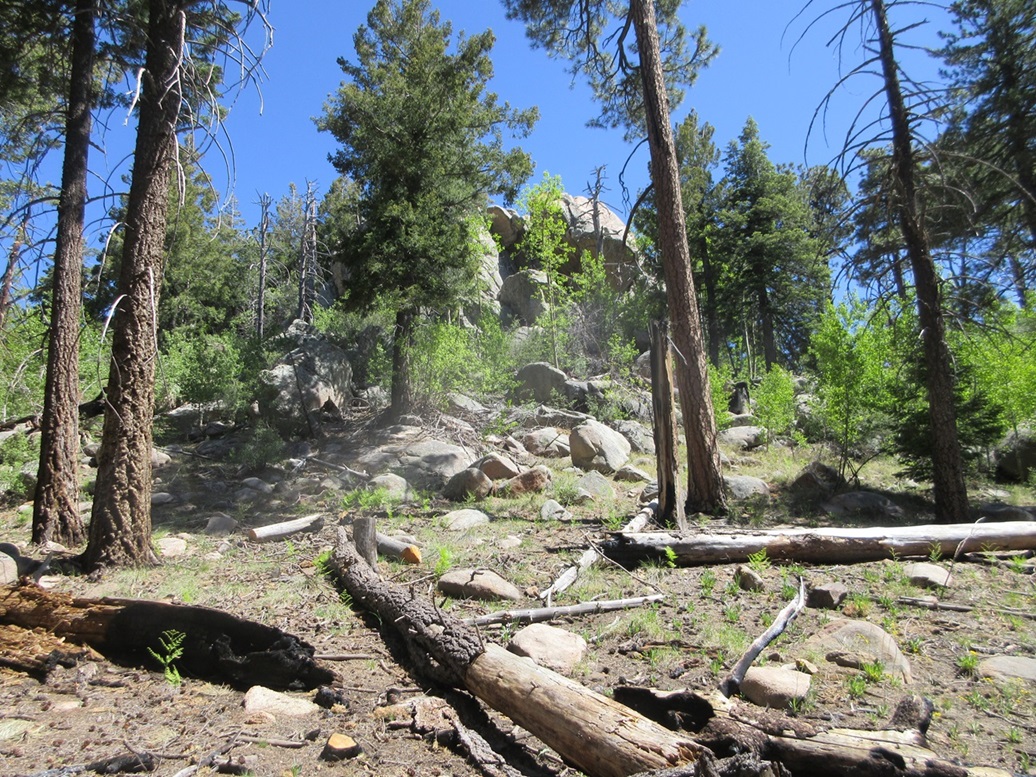
Grant Hill used to be covered in logging roads that were repurposed into hiking and biking trails, forming a number of loops around the peak, although none went to the highpoint itself. Then the fires happened and conditions changed considerably. Lots of dead standing trees (even now, twenty years on), lots of deadfall crossing the trails, and lots of new dense growth, mainly aspen, taking root. What few trip reports I came across mentioned the heavy brush, undergrowth and general nastiness of the hike.
I got properly attired in long everything and started walking. I wasn't eager to battle with heavy growth but figured this was a short hike and hoped for the best. I walked up the inlet road, immediately sidestepped a gate, then hung a right at a Y-junction a few feet later (the online USFS map calls this Trail 322A, but there are no signs on the trails to confirm this). I could see the broad dead-tree-and-aspen-covered profile of Grant Hill up ahead.
So far, it wasn't too bad. The road was easy to discern and there was an obvious footpath. There was some deadfall but not much and easy to hop over or bypass. I stayed on this road/path as long as it went up and aimed for the peak, which it did. I had to shimmy underneath two downed trees along the way, these too big to hop over. But overall, I made good time and was pleasantly surprised how well things were going.
I stayed on the path as long as it went up. When it reached its apex, I turned right (northwest), now on Grant Hill's broad summit ridge. The highpoint was about a hundred feet high in elevation, about a quarter-mile away. There was much more aspen thickets here, too, but even here, it wasn't completely choked in. I could find lanes to walk on and see my way easily.
I hiked up a hill, gaining about 80 feet, to what I hoped was the summit. The deadfall was more abundant here and I had to move carefully. I tied surveyor ribbons to branches so I could find my way back. I soon arrived onto this highspot, but it wasn't the summit. It was a tiny hill, prominence about twenty feet. The true top was visible up ahead, completely throttled by dead trees and aspen.
I angled north and downslope a little, to where I was at the margin of the aspen, and walked along this sloppy slope as far as I could. It wasn't enjoyable but I could see where I was going. Then I re-entered into the aspen and just pushed my way through until I was nearing the top, as best as I could sense it. On the upside, there was almost no thorn brush to battle through.
The top was more open, with some live trees among the mostly-dead ones. I walked around and looked for a marker, and found a substantial cairn at what seemed to be the highpoint. There was no register in it, though, but its location seemed to confirm this was the summit. The actual highest point was hard to determine, so I walked around for a few minutes and kicked anything sticking up out of the ground.
I did not stay long, there being no views, and me wanting to get out of the aspen as soon as possible. I was able to repeat my ascent route going out, following my ribbons. I was back to my car at 8:20, a one hour, twenty minute hike. Although just 3 miles round trip and about 375 feet of gain, it's not possible to make good time moving through deadfall and aspen thickets.
I read later that the USFS has contracted with some prisoners housed at the Fort Grant Prison at the base of the range to help clear out much of the deadfall. This would explain why it seemed so much better than I was expecting. My thanks to their hard work in helping remove a lot of the deadfall, which is just kindling for the next fire.
Elevation: 9,282 feet
• Prominence: 255 feet
• Distance: 1 mile
• Time: 45 minutes
• Gain: 508 feet
• Conditions: Still sunny and nice
PB
•
LoJ
I got back on the main road and slowly followed it northwesterlyish, in and out with the curves of the terrain. State maintenance ends at the Columbine Ranger Station. Thereafter, the road becomes Forest Road 803 and continues another 5 miles toward Riggs Lake.
I have no memory of the Swift Trail Parkway the last time I drove it in 2010, so it obviously did not make an impression on me. Like any mountain road, it's just a matter of going slowly, managing the bumps and ruts and oncoming cars. Maybe it's because it's still early in the season and that last weekend was Memorial Day, but I found much of the Parkway to be bumpy and rutted. A passenger car would be okay but it should have some decent clearance. Interestingly, after the end of state maintenance, the road was narrower but smoother. It took me about an hour to get to Riggs Lake and Merrill Peak.
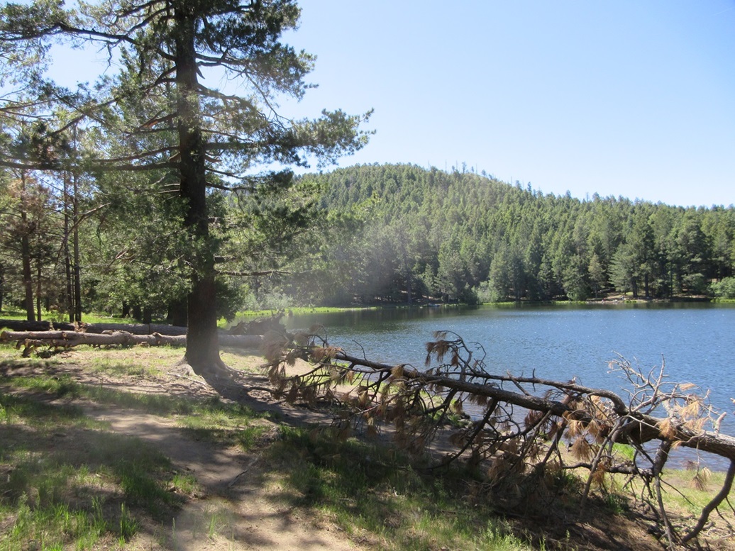
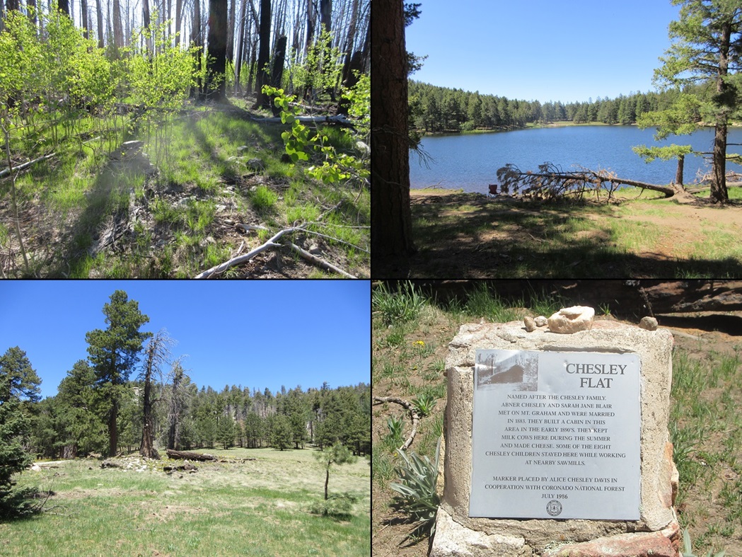
Merrill Peak rises up behind (to the southeast) of Riggs Lake, which is a small reservoir surrounded by grass and open to non-motorized boats. It's very pretty, and fortunately, the forest surrounding the lake seemed to be mostly unscathed by the two big fires (Nuttall and Frye). There were already a number of people here, some just for the day, some camping. I parked in a lot at the beginning of the loop that forms the small campground.
The peak rises immediately above and behind the campground. I walked around one campsite, then just started upslope. It was steep but open, just one small patch of aspen (and thornbrush) to get through, which went well. Above that, the grade lessened slightly, then steepened as it aimed for the top.
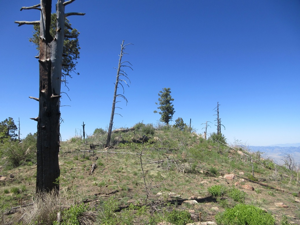
Most of the climb was through trees, about half living and half dead, and moderate downfall. The top was in the open, covered in low grass, and it got steep again just before reasing the top. In time, I was past the trees and on the small open ridge that is Merrill Peak's summit.
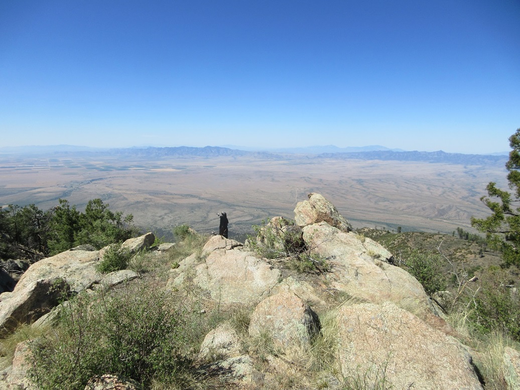
The top features some rock outcrops which are easily stood upon, and a stone and mortar cairn that once held a metal post. I did not locate a cairn. The views were outstanding, possibly the best views from any peak in the high Pinaleños. I had an unobstructed view southwest into the desert valley below, probably 7,000 feet in elevation difference. I could see the Galiuro and Winchester Ranges, and other ranges farther back. I snapped a few photos and took a moment to rest. This was a short (half mile) but steep (500+ feet of gain) hike.
Going down, I just followed the same lines down and was back to my car fairly quickly, the round trip taking about 50 minutes including my stops. I drove out then stopped to walk down to the lake and snap a couple more photos of the lake and of the peak rising above the lake.
Elevation: 9,640 feet
• Prominence: 366 feet
• Distance: 1 mile
• Time: 50 minutes
• Gain: 325 feet
• Conditions: Still sunny and nice
PB
•
LoJ
I only had to drive a couple miles to situate myself near Grand View Peak. I rolled into a camping area where FR-4522 branches off the main road. Another guy then pulled in behind me, looking for his pals who were camped somewhere in the area. He asked if I'd seen anybody.
Grand View Peak has two summit bumps, the north one marked with spot elevation 9618 feet, and the south one not marked but with a tiny 9,640-foot contour. The map also shows a trail (#339) supposedly going up to the south summit. I was already dressed from my last hike to I was moving in moments. The other guy had his dog with him and he went to find his pals. He seemed like a cool fellow.
Me, I just walked uphill, weaving through low brush, trees and rocks. Here, the forest looked mostly alive. It was open and easy to see my way. The forest service, I presume, had done some upkeep here, collecting deadfall and forming little pyramids of logs which I assume will be eventually removed.
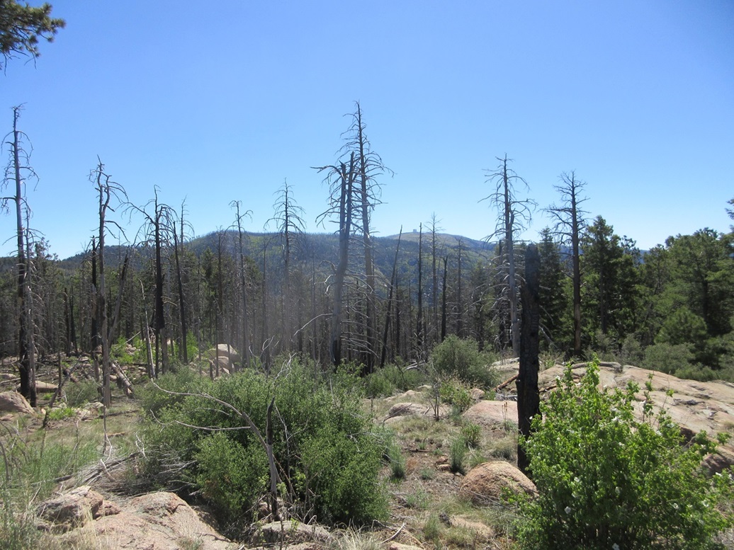
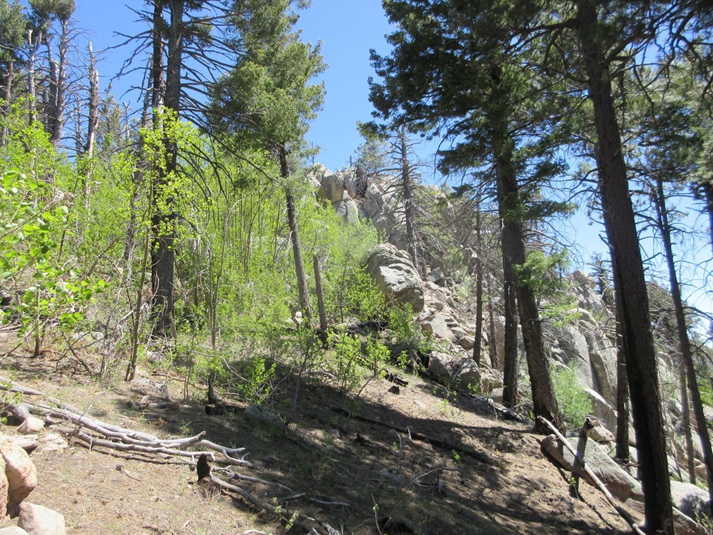
About halfway up, a big rock formation looms above the trees, easily 60-70 feet high. I went right and pushed my way up through a ramp of brush, deadfall, aspen and thornbrush. This put me on the main ridge again, now above this rock formation. It was much more forested from here to the top, this area also appearing to escape the worst of the fires.
I could not see far and just had to trust my nose. I came to another rock formation and went right again, finding some nice ramps to work through. I then saw another rock formation looming high, another 60 feet above me. This had to be the summit, I thought.
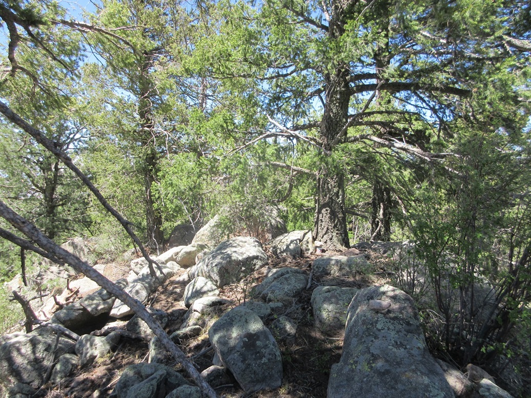
I angled into the rocks and was able to walk up, albeit steeply, to this rock formation's top. I never needed hands, but the rocks sometimes sloped enough to force me to move carefully. But it was easy, and generally I was able to avoid the brush. This fed me onto the top rocks. Here, I found a register placed at the foot of a tree. I walked briefly north and saw the terrain drop about 40 feet. This had to be the top.
I stopped and signed in, then tagged the actual highest rock, around back of the tree. There were no views, unless looking at trees and rocks five feet from you are "grand". I did not stick around, happy to make the top, but wanting down now.
I followed my descent line almost exactly. When I was below the big rock formations, I angled a little left and saw the main road below me, just a hundred feet down. What the heck, I decided to just follow the slope down to the road, then walk that back up to where I parked.
This hike went reasonably fast too, a little less than an hour. It wasn't long (just a mile), but the rocks and brush forced me to move slowly.
I drove out less than a mile and parked in the Chesley Flat, an open grassy meadow that connects Grand View Peak to Webb Peak. This meadow is named for the Chesleys, who homesteaded up here back in the late 19th Century. It allowed me to get a decent image of the peak.
Later, I affirmed using the Lidar 1-meter dataset "USGS one meter x59y363 AZ VerdeKaibab B1 2018" that the southern peak is higher. It gives a summit figure of 9,640 feet, and a figure of 9,616 feet for the northern peak, which I did not visit.
It was just 11 a.m., and I had got what I came for. This wrapped up the last remaining ranked peaks high in the range (i.e. accessible via the Swift Trail Parkway). I started the slow drive out. Now, there were more people driving in, so I drove out slowly, and often stopped to allow those driving in room to pass. I just went slowly, often 15-20 miles per hour.
The drive down the paved portion, once below Ladybug Peak, was enjoyable. I just needed to watch my speed and avoid braking the whole time. I dropped 5,000 feet and the temperature went from the high 50s to the low 90s once down off the peak and in the southern part of Safford.
It was too hot to do any more hiking in the area, so I just drove home, via Willcox (a stop for more drinks), Kansas Settlement and Elfrida. I was home a little before 3 p.m..
I'll admit I drove a lot of miles, over 300, for just three peaks and five miles of hiking, but I was happy with today's outing. I had wanted to come back here for a long time for these peaks. Now that I have done so, I may not return.
|


|