
The Mountains of Arizona
• www.surgent.net
|
|
Ladybug Peak • Webb Peak We spent the weekend camping in the Pinaleño Range near Safford. The primary intention was to camp and relax, and get out of the desert heat for a couple days. I lined up a couple of easy hikes while up here, Ladybug and Webb Peaks. Neither are big hikes, but together they made for a workout and fun couple of days.
Date: June 19, 2010
• Elevation: 8,780 feet
• Prominence: 285 feet
• Distance: 1 mile
• Time: 40 minutes
• Gain: 285 feet
• Conditions: Beautiful
Arizona
•
Main
•
PB
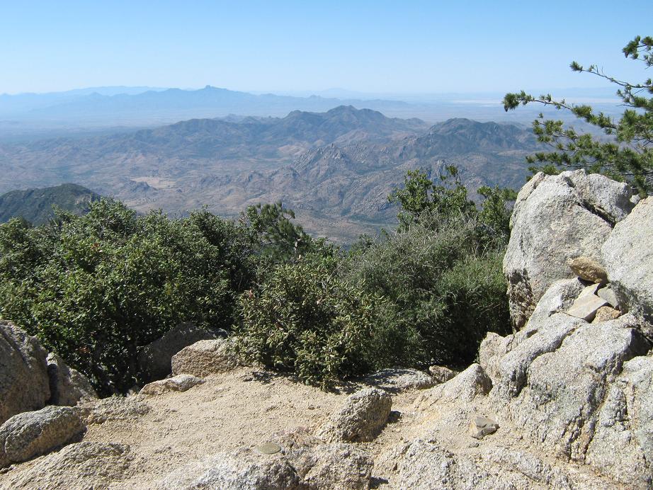
We didn't leave the Phoenix area until 6 p.m. on Friday, so it was well after dark when we arrived into Safford. We rolled into the Arcadia campground at 10 p.m., and took one of the remaining spots. At 6,500 feet, we had moderate temperatures overnight. The next morning, we got moving at 9 a.m. From here to the range crest was about 5 miles and 2,000 feet of gain, so it wasn't far to this point. At the range crest, where the road emerges onto the south-facing slopes of the Pinaleños, there is a big pull-out here, with incredible views into the valleys southwest of the range. With the skies clear and humidities in the single percents, we had crystal-clear views to the farthest horizons.
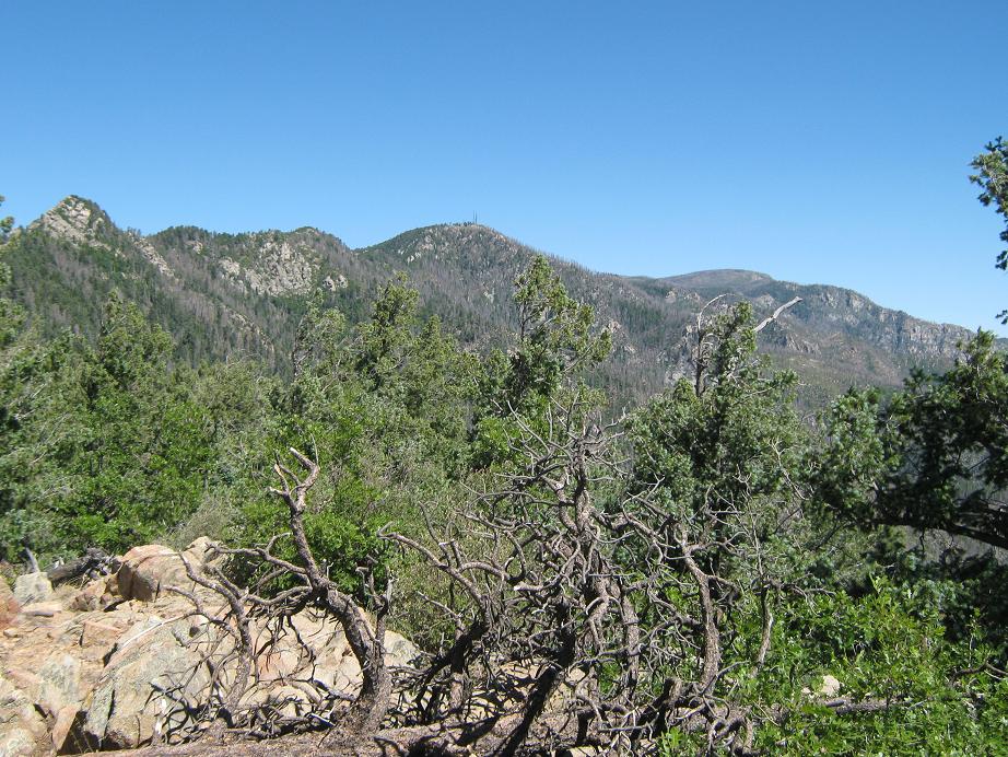
Ladybug Peak is the southeasternmost summit of the Pinaleños, and from here the slopes go down fast to the deserts below. The hike up Ladybug follows a trail for about one-half mile amid ponderosa forest to the rocky top. True to its name, there were ladybugs up here, but not in any great numbers. The views south were outstanding. I noted a register in a strong box, and signed in. Judging by the quantity of trinkets in this box, I surmised this is a geocache.
The return hike went quickly, and I was only gone for 40 minutes. I piled in the truck and we drove the rest of the Swift Trail Parkway to Riggs Lake, looking for a spot to camp, but given it was a weekend we weren't surprised to find it filled to capacity. No problem, we backtracked to the Soldier Creek campground about 4 miles back, and took a spot near some big rocks. It was about noon and we had the afternoon to relax. Some Japanese women came by, picking wild edibles, and showed us one such green, something they call "endochin". I was happy to know that if I ever got stuck in the wild, I could find this edible plant and survive very well, as long as my truck with drinks and clothes and sleeping bag and kindle was nearby.
The problem was the campground, mainly the crowd camped there. There were boatloads of kids, and all the spots were on top of one another. We broke camp and drove up the main road about a half-mile to a bad road marked as an undeveloped camping area. I drove in and we had the place all to ourselves, with views of Webb Peak just across the way. It was quiet and peaceful. I had Webb Peak planned as one of my hikes but frankly, enjoyed the lazing around with my wife too much to do it today. We didn't do much the rest of the day but hang out together. The night was cool, not surprising as we were about 9,300 feet elevation. We both slept well.
Date: June 20, 2010
• Elevation: 10,030 feet
• Prominence: 530 feet
• Distance: 3 miles
• Time: 75 minutes
• Gain: 620 feet
• Conditions: Beautiful
PB
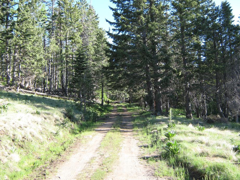
The following morning we broke camp and drove out, turning off onto the spur road (FR-88) that leads up Webb Peak. The road is gated, but hiking is welcome. I parked and killed the engine.
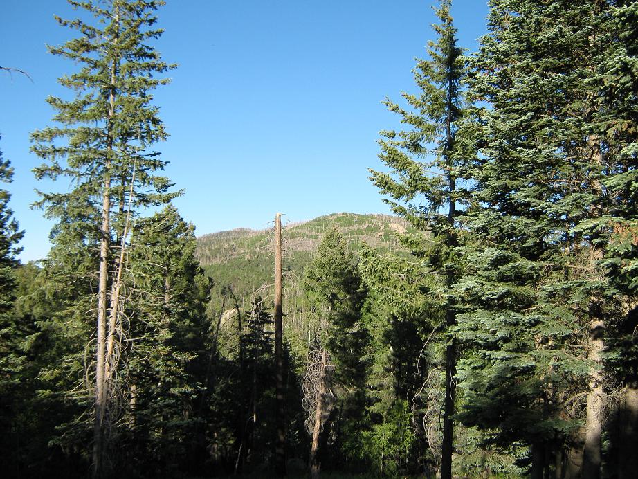
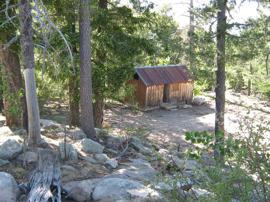
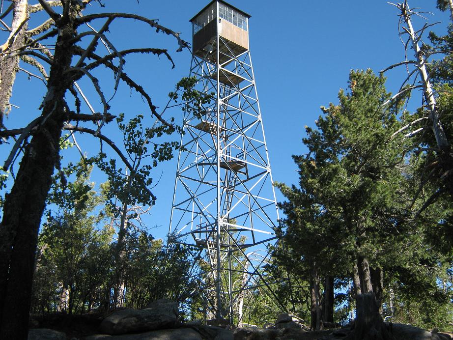
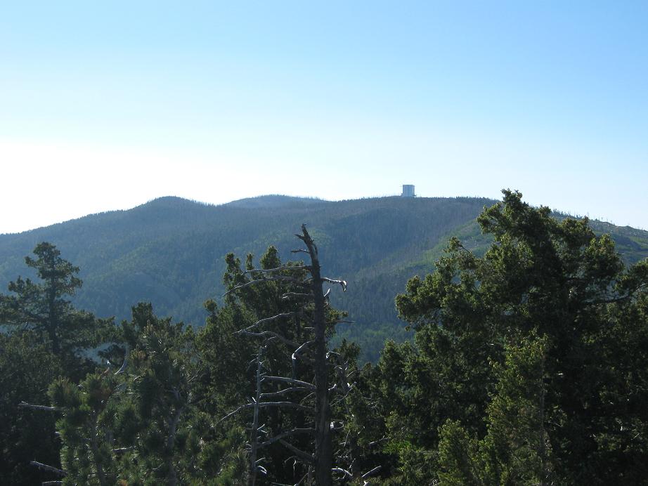
I followed the road for 1.5 miles to the top, a gain of 620 feet. At this elevation there were lots of aspen and spruce, and flowing streams, too. The top features an old lookout tower that still stands, and an abandoned residence. The views are blocked by trees, but I climbed up two of the tower's ladders, gaining me about 30 feet, so that I could get shots of nearby Hawk and Graham Peaks. I have to admit feeling a bit afraid — the metalwork all seems solid but the wood planks at the landings seemed a little loose. I returned to the ground and hiked out, a round-trip of 70 minutes.
From here we drove down the mountain, my truck never leaving second gear until we were on the desert flats below. In Safford we got gas and drinks and drove back home. The trip went exactly as planned, and we had a lot of fun.
|


|