
The Mountains of Arizona
• www.surgent.net
|
| Samaniego Peak |
• Sierrita Mountains • State Trust & BLM Land • Pima County |
|
Date: August 15, 2026
• Elevation: 6,004 feet ✳
• Prominence: 474 feet
• Distance: 5.4 miles
• Time: 2 hours, 45 minutes
• Gain: 1,230 feet
• Conditions: Sunny, warm and humid, breezy higher up
• Wildlife: Whipsnake, bunnies and a colony of bees!
Arizona
•
Main
•
PB
•
LoJ
•
USGS BM Datasheet
Samaniego Peak rises in the Sierrita Mountains, north of the range highpoint, Keystone Peak. It is named for Mariano Samaniego, a politician (among other career paths) in Tucson and Pima County at the turn of the 19th-20th century. Samaniego Ridge in the Santa Catalina Mountains, and the Samaniego Hills in the Ironwood National Monument are also named for him.
This particular peak is one of the highest peaks in the Sierrita Range, barely poking above 6,000 feet (6,004 feet, says Lidar, 6,000 feet exactly says the map). I was last here in May when I climbed Keystone Peak North. I returned today in part because I'd be walking a road and a path most of the way. It's still hot and humid and snakey this time of year.
I left Bisbee at 4 a.m. and drove through Benson, catching Interstate-10, then took that to the AZ-83 exit, then west on Sahuarita Road into Sahuarita the town. I stopped in town for snacks, then (after some delays) got back onto Sahuarita Road, which becomes Helmet Peak Road west of Interstate-19. I followed this road to Mission Road, then south to McGee Ranch Road, then west to the water tank where I've parked in the past to access the roads in the range.
The weather has been consistently wet and humid the past two weeks. Today was supposed to be not as active, with slight chances of a storm later in the day. But it was humid and not cool. It was 6:30 a.m. when I killed the engine, 73° outside, with no breeze and noticeably sultry. I got dressed and packed (with snake gaiters) and started walking at 6:40 a.m..
I followed the main road west into the hills, this road leading eventually to Keystone Peak and its environs. About ten minutes into the hike, near a higher water tank, I left the main road onto lesser tracks near an earthen tank, then lesser tracks down and into the main drainage emanating from the hills.
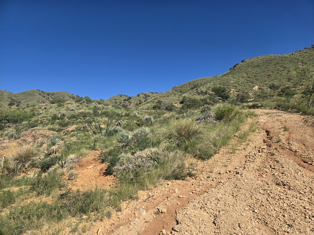
I wanted a path that went northwest on a straight line, going by the satellite images. I found it. It was in bad shape, heavily eroded, slippery gravel on steep hillsides, going up and down and up and down and up and down within the arroyo ridges. Brush grew heavy on the sides. I was mindful of snakes. And it was getting uncomfortably warm already.
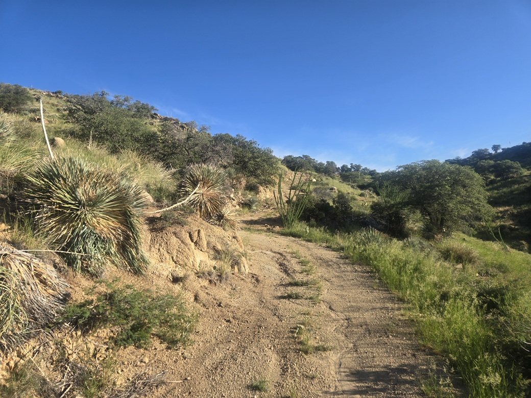
This track eventually bends right then meets a more substantial road, the one that would take me most of the way to the peak, which was hidden from view for most of the lower hike. This track is wide and obviously driven occasionally, although it is gated down below. It was steep, but easy to walk, just a wide trail as far as I was concerned.
I got busy walking. It gets steep, and curves in and out of the ridges with the lay of the land. The sun was intense and ironically, I wanted some clouds to appear about now to take the edge off. Higher up, I had some shade, which helped. This segment covered about a mile.
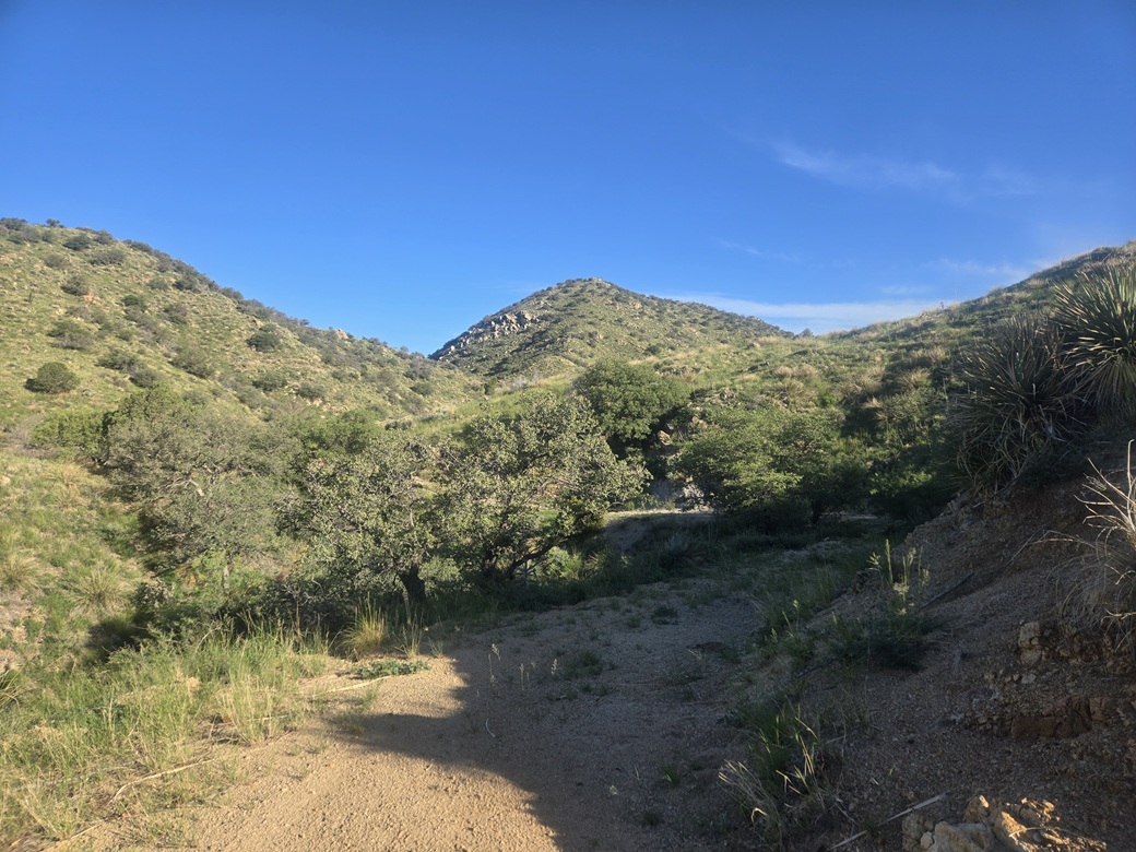
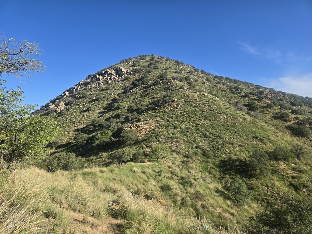
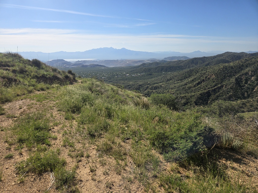
The road then makes a hard bend right, then left, now going north. Then at a junction, I went left (west). After rounding a bend, I could see Samaniego Peak for the first time, an attractive rounded hump of a peak with some rock outcrops on its slopes. Being on or near the main range crest now, I had some breezes. Not much, but they helped.
The road goes a little farther but becomes less distinct, more grassy. I found a trail starting from here, marked by a metal post. The summer rains have resulted in abundant grass and brush, obscuring the trail. I put on my snake gaiters here, then started up the trail heading north.
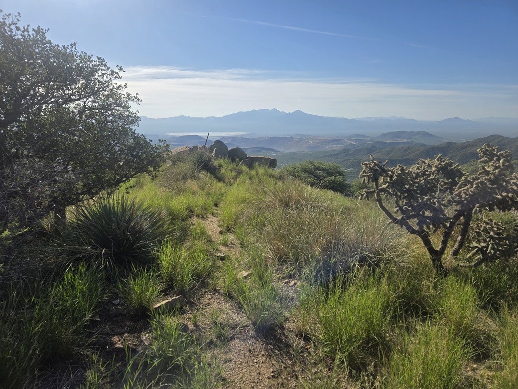
The trail sidehills around a lower peak. As long as I paid attention, it was easy to follow, despite the heavy grass. It leads to the saddle between the lower peak and Samaniego Peak, and ends in a tiny clearing with a lone tree. Now I just had to grunt up about 400 feet of slope to the top.
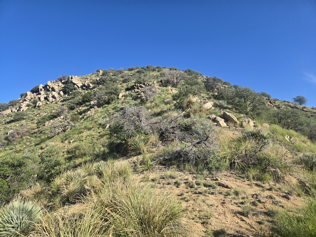
I found some paths but they were meager. I followed what I could and guessed on the rest, but never had any navigation problems. The grass, while plentiful, only got up to about my knee. It was obvious which way to go. When in doubt, I chose up, sometimes over and up. I always found a path within a minute or two. Some tiny cairns helped as well.
This segment was steep but not difficult. I was slowing down because I was getting warm and very sweaty. Every time I stopped, three or four insects would bombard me. Plus, my sinuses were working overtime. I just slowly pushed upward, and was soon on the summit.
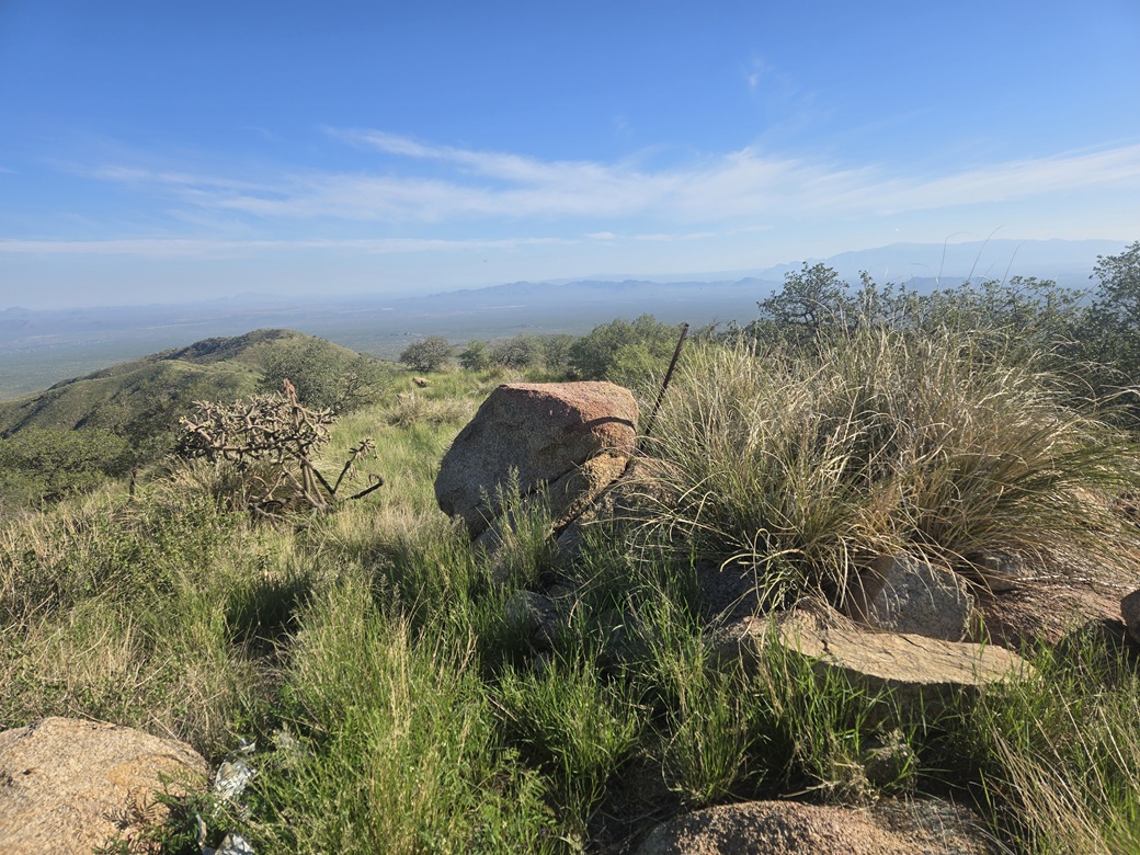
One large rock outcrop on the summit lip comes first, and a smaller rock outcrop about a hundred feet north comes second, this being the true highpoint. Metal poles stick out of both. I walked to the higher one, uncovered the register, and sat down to sign myself in. It had taken me about two hours to get here. Up this high, it was actually pleasant.
Then I hear a very low sustained hum and immediately realized what it was — a freaking bee swarm. There were none around me and no bees had bopped me, but wherever they were, they were close. The sound rose in crescendo and it sounded scary as hell. I signed myself into the log, reburied it and got my ass right up and started down.
I went over to the lower rock outcrop and tagged its highest rock. I did not hear the bees so I think I was safe. I must have sat right near a hive back on the higher summit. I'm not kidding when I say I was scared. If they had swarmed me, I might not be here right now to write about it.
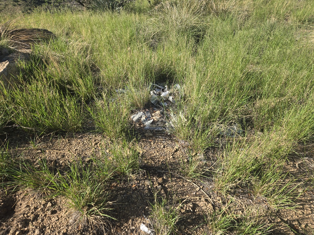
The summit is notable as the site of a plane crash from March 12, 1975. A jet fighter with two pilots, a trainee and an instructor, hit the top of the peak during a white-out. They both died on impact and the plane was obliterated. Much of it was taken down afterwards, but some remnants still remain. Here is a page with more details.
There was some small piles of metal debris near both of the rock outcrops. I stopped for a brief moment to inspect it, and then a moment of silence for both pilots. It's been 51 years, but I felt it was the right thing to do.
I started down the slopes. I had no more bee troubles, but I was mindful of them too, along with snakes as usual. I made better time going downhill and was back out onto the main road in about fifteen minutes. I removed my snake gaiters, had a break, then started the road walk back out. The only snake I saw all day was a whipsnake in the road.
The road walk went fast, making good time. I could feel the warmth as I descended. Near where I had met the road earlier, I chose not to exit that way. Instead, I stayed on the road, which eventually drops into a sandy arroyo and a gate. I hopped the gate, then followed the road, which connects to Rose Lane, with a few homes along its edges.
Rose Lane then connects to the main McGee Ranch road and the water tank, where my car sat waiting for me. It was still in the shade, which was nice. It was about 9:30 a.m. now, a 2-hour and 45-minute hike. It was very warm and uncomfortable. I opened the car, put my stuff in then peeled off my sweaty clothes, changing into drier clothing. I took a few minutes to relax and have something to drink. I brought my small cooler with me and the drinks within it were still cold.
The hike had gone well. The warmth and humidity was uncomfortable, but this time of year, it's pretty much unavoidable. I was just pleased to be successful and get another peak done, plus a little relieved to not have been stung by those bees. When I started the car, it read 84° outside. Not terribly hot, but with the humidity and no breeze, it felt a lot warmer.
I exited out the same way, getting back onto Sahuarita Road and eventually to AZ-83. I went left to catch Interstate-10. Ten miles east, the state has shut down a lane while they reconstruct the bridges at the Empirita exit. This has been going on for a year now. Sure enough, traffic came to a standstill a few miles short of where the lanes merge.
Then it was about a half hour of sitting in traffic, often at a stop, while every truck and idiot motorist went as far in as they could before merging. Signs farther back tell the trucks to stay in the left lane only but they don't. A regular car can merge easily, but trucks often must stop then make the merge.
There must be a better way to handle merges. It's not a question of doing it earlier, since the pinch will happen no matter where it is placed. I noticed that the actual merge happens fast, so people have to make the merge quickly, which slows everything down. I also think the truckers should get over sooner. Some Arizona State Troopers might be useful here to keep order.
I got though that, stopped in Benson for gas, then drove home via Whetstone and Tombstone, arriving about 12:30 p.m.. I was tired and ripe. I took a shower, then napped for about 90 minutes.
This peak is my 100th ranked peak within Pima County. I now have five counties in Arizona with 100 or more climbed ranked peaks.
|

|