
The Mountains of Arizona
www.surgent.net |
|
Keystone Peak North • Peak 4910 For today's adventures, I had two, possibly three, peaks on the agenda, both kind of near the city of Sahuarita, about 30 miles south of Tucson. It's that time of year when the temperatures are rising for real, where it will be too hot even to do hikes at these mid (4,000-6,000 foot) elevations. The past few days have been mild, but that would be changing this upcoming week. I was looking at a peak in the Sierrita Mountains which lie west of Sahuarita, then a couple peaks at the base of the Santa Rita Mountains, to the east of Sahuarita. The first peak had the advantage of a road all the way, so I could walk without fear of stepping on a snake. The second one looked short. I was out the door from my home at 4:10 a.m.. I took the usual route through Sierra Vista, Whetstone and into Sonoita, where I caught highway AZ-83 north for about twenty miles, getting onto westbound Sahuarita Road, which heads west about twenty miles toward Sahuarita along Interstate-19. I avoided Tucson altogether. Traffic was very light and I had pre-dawn light from about 4:30 onward, then actual sunlight at about 5:15 a.m.. It was a sunny and cloudless day, very dry, with highs in Nogales expected to be in the low 90s. It was cool for now as I drove, in the low 60s.
Date: May 31, 2026
• Elevation: 6,176 feet ✳
• Prominence: 306 feet
• Distance: 7 miles
• Time: 2 hours, 30 minutes
• Gain: 1,480 feet
• Conditions: Sunny and pleasant
Arizona
•
Main
•
PB
•
LoJ
Sahuarita Road enters Sahuarita the town, crosses over Interstate-19, then becomes Helmet Peak Road. There are a couple of very large and active mining operations in the hills west of the interstate. Much of Helmet Peak Road ran below massive tiers of tailings mounds. About 5 miles later, I easted southbound onto Mission Road.
I stayed on Mission about 5 or 6 miles, then went right (west) onto McGee Ranch Road, following it about 6 miles through the community of McGee Settlement, parking at the end of the pavement near a water tower. One other car was already here.
This is the third time I've been here. My first time was back in 2006 when I climbed the range's highpoint, Keystone Peak, with my wife. I was here again in December of 2022, when I climbed two other peaks. The range is a mix of private, public (BLM) and State Trust land, but access is not prohibited. The summit I was interested in, Peak 6176 "Keystone Peak North", lies on BLM land. Most of the road walk was on State Trust land. Only some portions down low were private.
It was already in the high 60s, cool but not cold, so I dressed lightly and packed extra drinks in my pack. I started hiking at 6:18 a.m.. The "entry" past the gate is a narrow opening about 15 inches wide and 5 feet high. I had to both duck and sidle through the opening. Anyone of a more ample carriage may not be able to squeeze through, or would have to scale the low gate.
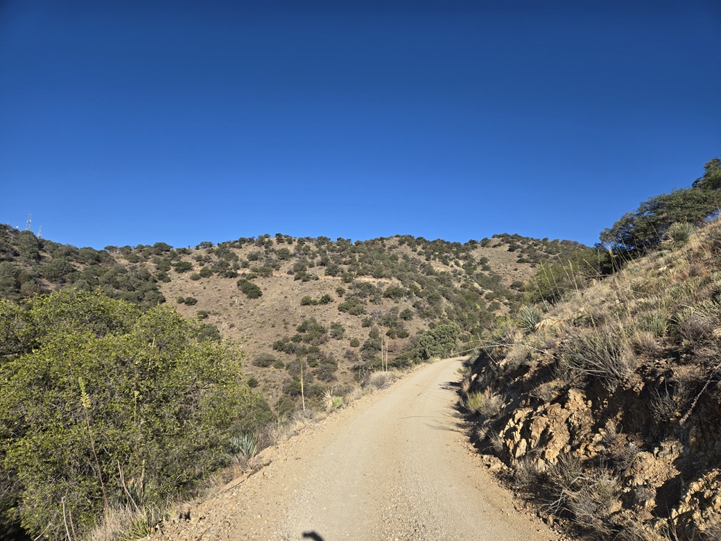
The road walk is very easy, being a wide road. It aims southwesterly and gets steep quickly. For about half the hike, I had shade, which was welcome. In about 1.2 miles, I had achieved a saddle near Ox Frame Tank. Three tracks emenate from here, one to the left and up, one to the center and down, and one to the right and mostly level. I stayed right.
It was just a matter to follow the road a couple more miles. The road goes in and out with the folds of the mountain and was easy to walk and to maintain a steady pace. I came upon an old cabin built in to a crook of a canyon, which I recalled from our visit twenty years ago. Moments later, I was at another higher saddle.
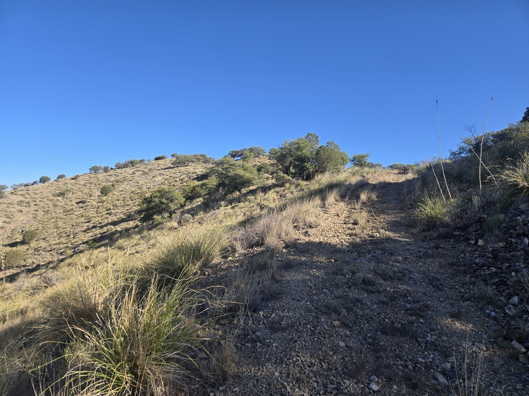
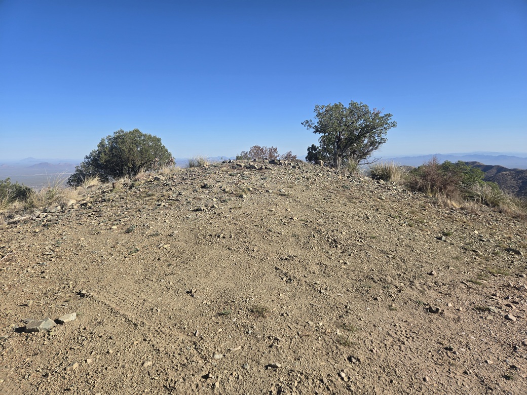
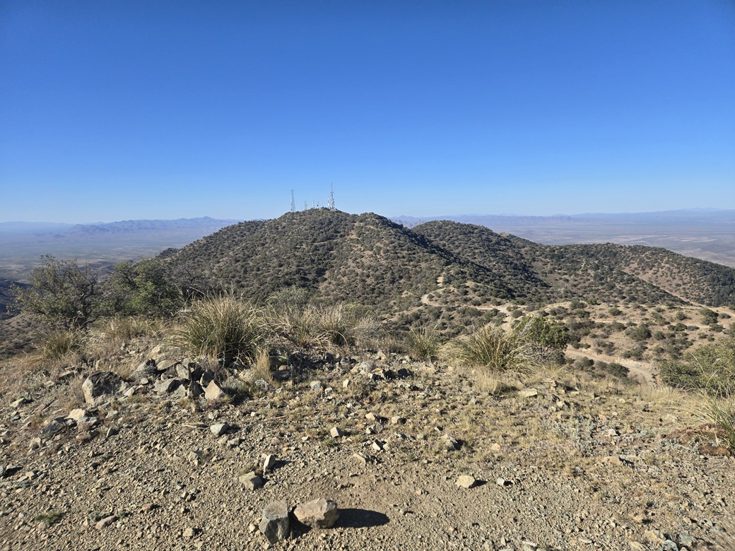
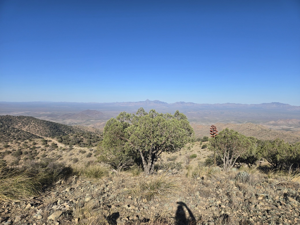
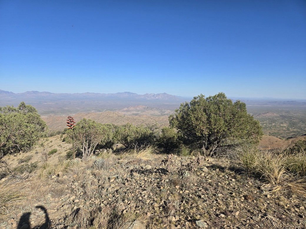
From this saddle, the full glory of Keystone Peak is visible ahead. To the left is Placer Peak, and to the right is a track that leads uphill to Keystone Peak North. Although it was always accepted that Keystone Peak was the range's highpoint, there was an outside chance this northern peak could be as high. Older maps did not give a spot elevation, but just a contour that matched Keystone Peak's highest contour. We did not visit this northern peak in 2006. This track was uneven, full of grass and clutter and heavily eroded, obviously not maintained any more. But it went up and toward the peak, so it worked well for me. In about ten minutes, I arrived to the bland summit, a bare dome of low rock. It had taken me 1 hour and 20 minutes to get here, covering 3.5 miles. I had been walking quickly. I had fine views in all directions, with the sky being clear and dry. It was breezy and comfortable. I sat on a rock and relaxed. I could not locate a register, but I did shoot a few images. Keystone Peak is the obvious nearby feature. Newer Lidar data shows this peak to be 29 feet lower than Keystone Peak. I spent about ten minutes here. For the downhill hike, I just repeated what I did going up, making excellent time on the good road and the downhill grades. I was back to my car in exactly an hour, a 3.5 mile-per-hour pace, which is akin to a fast walk on level ground. It was 9:45 a.m. when I got back to my car, and it was noticably warmer. When I started the engine, my thing that tells outside temperature said it was 81°. I was pleased to get this peak in, and pleased it went so easily. There was no challenge, but I got some good exercise in, plus a little sunburn. Now it was time to take a look at the other peak, or peaks. I'd have to make that call when I got there.
Elevation: 4,910 feet ✳
• Prominence: 474 feet
• Distance: 0.8 mile
• Time: 50 minutes
• Gain: 520 feet
• Conditions: Sunny and getting very warm
PB
•
LoJ
I retraced my driving route back to Helmet Peak Road, then over the interstate. now the road back to being Sahuarita Road. I went a couple miles east then caught Santa Rita Road, which heads south, then southeast, across open desert toward the base of the mountains, a total of about ten miles of driving.
The road was paved, then a few miles in, became "dirt". There is a large mine back here (more on this in a moment), so the dirt portion of the road has been graded very widely and rolled flat, then covered over in an oil-like substance. It is hard enough to be paved. Still, I kept the speed at about 40 miles per hour because there were still potholes and ruts.
There are two ranked peaks here, mere foothills of the main Santa Rita Mountains. One is called Peach Knob and the other with no name, going by Peak 4910 (the map says 4911 feet). Peach Knob is located within a massive mining operation, and it looked like access would be restricted. Peak 4910 lies on a huge swath of desert called the Santa Rita Experimental Range (SRER), overseen by the University of Arizona.
The mine is known as Copper World and has been ramping up in recent years (since about 2022) to be one of the biggest mines in the state, or so it hopes to be. As of this writing, it is still in the permitting stage and various groups are opposing the mine and its scale.
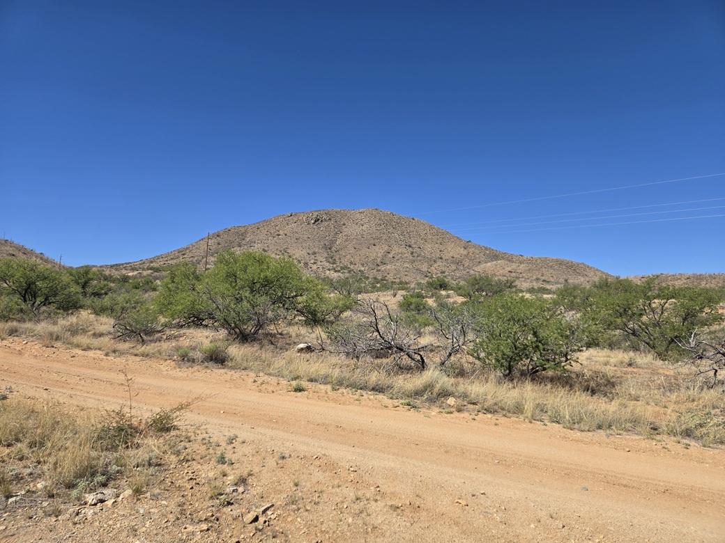
Santa Rita Road makes a sharp left bend toward the mine area, but I stayed straight and onto a lesser track, with signs mentioning the SRER. Peak 4910 rose about a mile to the south.
The track was in marginal but decent shape and I was able to slowly drive in about a half mile. I parked in a clearing, thinking I might cut across the lower arroyos and desert and catch the peak on its north ridge, which looked less steep.
I put on hiking pants and stashed my gaiters in my pack and started walking. I got maybe 50 feet and gave up on this route. Instead, I returned to my car and drove it slowly southbound up another half mile, toward a low pass east of the peak's summit. I'd deal with the eastern slope, which looked steeper but shorter. It was warm now, in the low 80s.
The road was okay, in that I was able to get the Forester up almost all the way to the saddle. There were ruts and one stretch of exposed rock that required some attention. I parked in a clearing just short of the saddle.
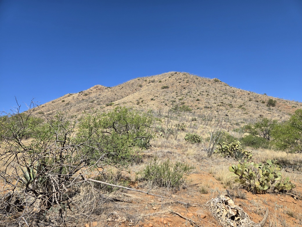
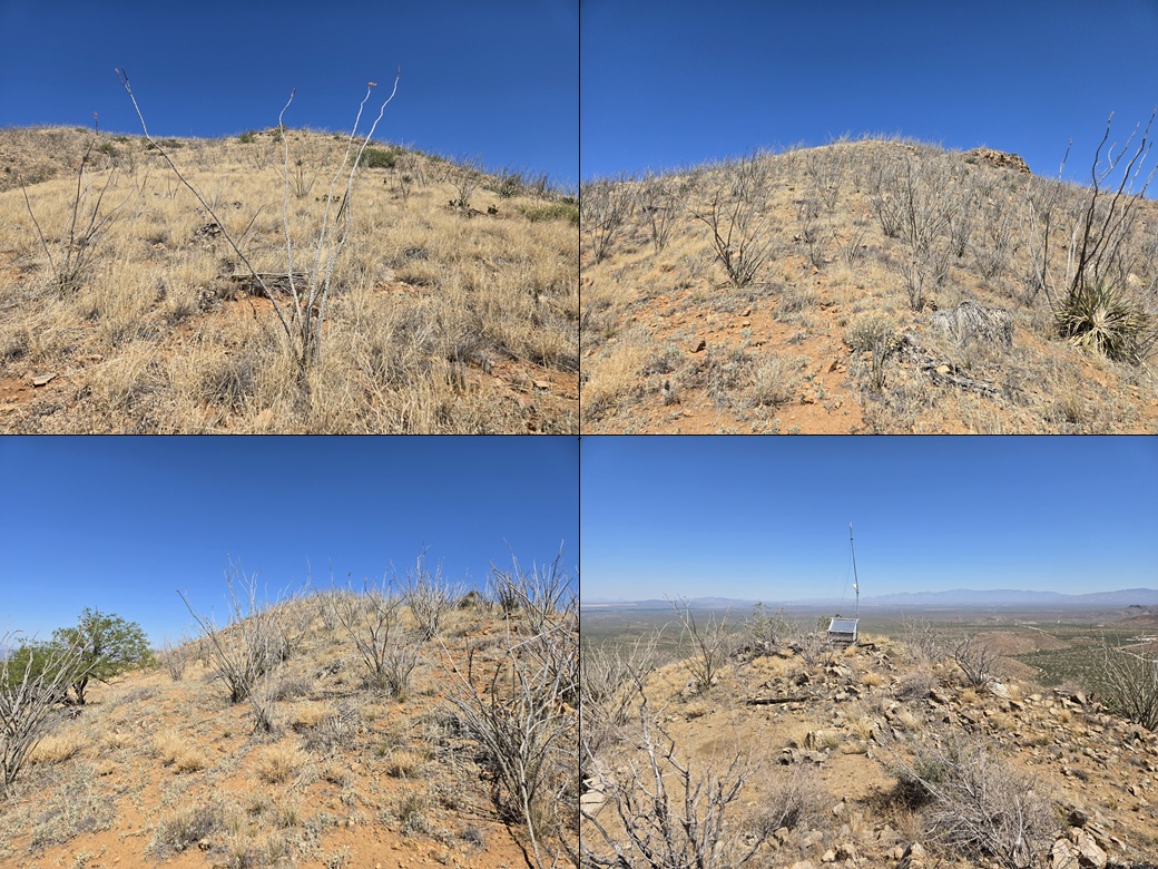
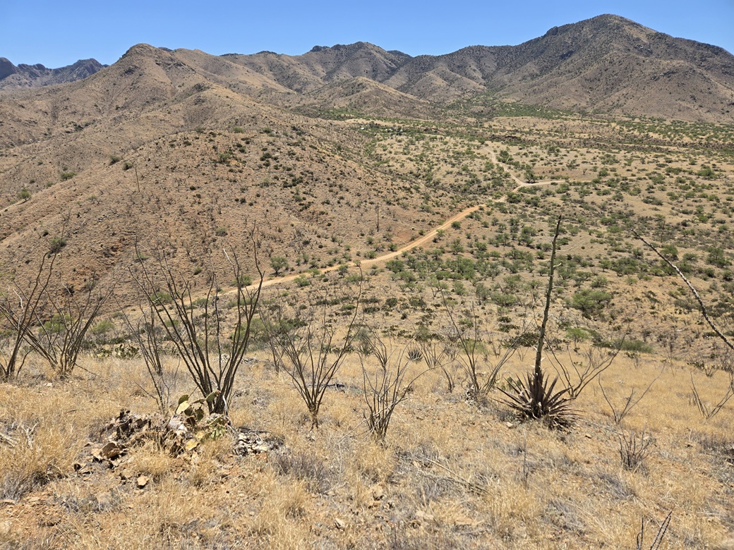
I started walking immediately, covering the final hundred yards or so to the saddle, then starting off-trail up the slopes. It looked doable but steep. The slopes were grassy, with cactus down low, ocotillo up high, and scattered low trees such as mesquite.
The grass was scant enough to form lanes so as long as I could see my feet, I kept the gaiters in my pack. I followed any opening I could, some looking like game paths. This meant I zigged and zagged often. It was moderately steep at first, then as expected, got very steep. The ocotillo got thicker here.
I had about a hundred-vertical-foot band of this very steep slope. The footing was not solid. The rocks slid underfoot. I moved slowly and tried to keep to any larger rocks that might be set more solidly. It wasn't difficult, but it was a chore. Finally, I was above this band and emerged onto a small flat notch, about halfway up the mountain.
Looking up, I had another steep slope, but this wasn't as bad, and the game paths helped a lot. I spooked a pair of white-tail deer along the way, plus the usual bunnies and lizards. So far, no snakes.
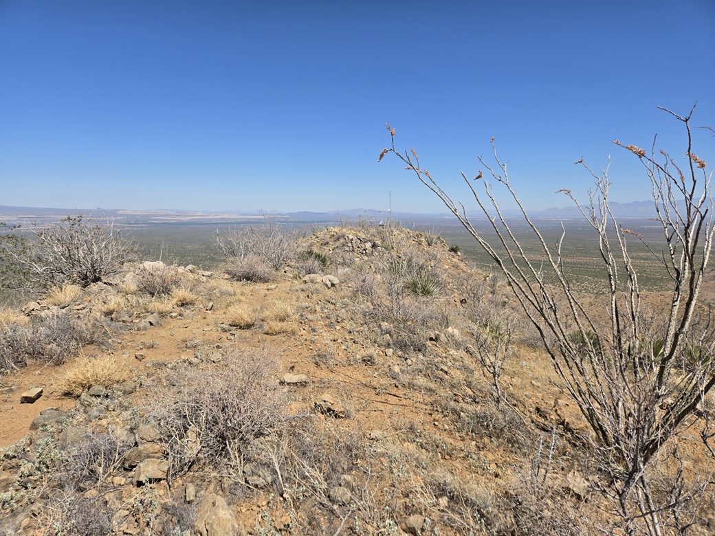
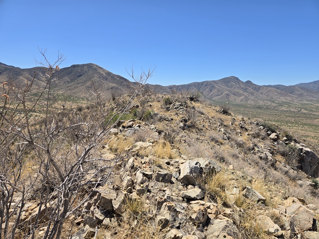
Now on the upper mountain, the slope lessened, and I just had to follow the ridge up to the top, which was easy. The top ridge had a few rocky areas that looked like highest points. A small solar collector and shack sat at the far end. I found a register in what I thought to be the highest point, and signed in. I was the first to sign in since 2012, although others have been here since then.
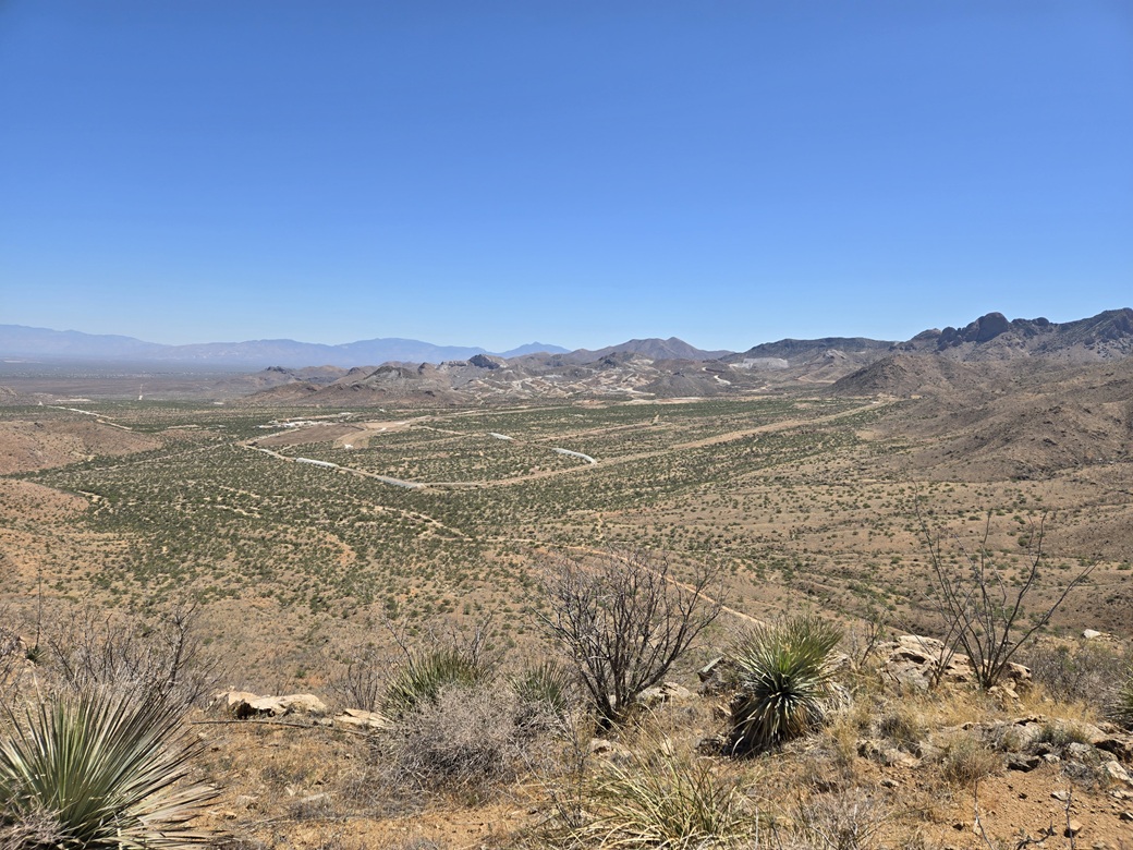
Views were good, and I could see the scale of operations over by the mine and by Peach Knob. There was a lot of activity and I sensed that I would have no chance of getting close to Peach Knob, so I decided to skip it.
This one-way hike took just thirty minutes. It was hot now, and buggy. I wanted down off this peak sooner than later, not looking forward to slipping and sliding down the steepest parts. The downhill hike went slowly and I took it very slow on the steepest slopes. I never fell, but I slipped more than once. Once down below that, it was an easy walk back to my car.
I was pleased I was able to get a second peak done for the day. It was barely 11 a.m. now, but officially hot, temperatures in the high 80s. I was done, so I drove out the same roads and back onto Sahuarita Road, then from there took the various routes through Sonoita, Whetstone and into Sierra Vista, where I ran a few errands. I was home by 2ish, and dead tired. I napped for a couple hours.
It looks like I won't be tagging Peach Knob if the mine permits go through. I still enjoy the area and have some ideas for peaks in and around the Sierrita Range, but any return trips will have to wait a few months.
|




|