
The Mountains of Arizona
• www.surgent.net
|
| Keystone Peak |
• Highpoint: Sierrita Mountains • Pima County |
|
Date: November 18, 2006
• Elevation: 6,188 feet
• Prominence: 2,448 feet
• Distance: 8 miles
• Time: 5 hours
• Gain: 1,600 feet
• Conditions: Dry and clear
• Teammates: B.
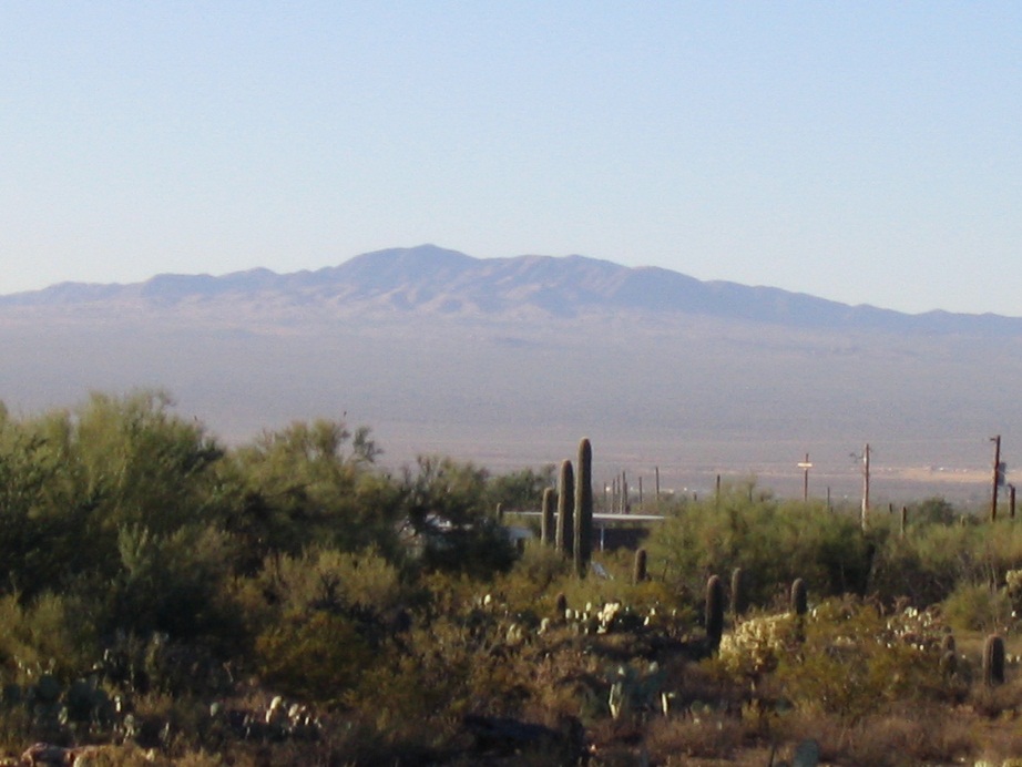
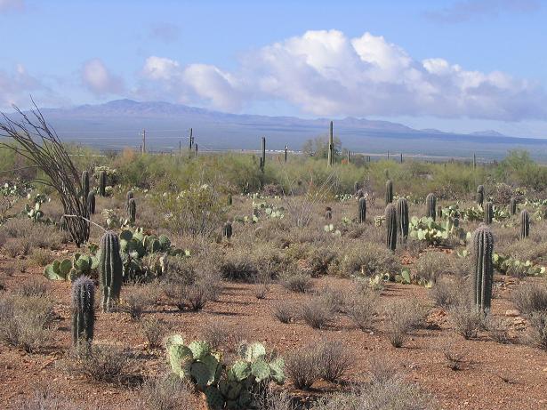
Keystone Peak tops the Sierrita Range in southern Arizona, about 30 miles southwest of Tucson. The diminutive form of the name is indicative of the range's relative size when compared to the much-larger Santa Rita, Santa Catalina and Baboquivari Mountains that surround it. However, the Sierritas get as high as 6,188 feet at Keystone Peak's summit, high enough to support healthy slopes of grass and mid-sized trees. The range has its own unique charm, and typically is not crowded with visitors.
Looking south, whether from the trails on Wasson Peak or from the Gilbert Ray campground, the Sierrita Mountains sit atop a rising plateau. The bigger Santa Rita Mountains (home to Mount Wrightson) rise farther southeast, while famous Baboquivari Peak rises to the southwest. We filed away Keystone Peak as a possible hike for later in the year when the cooler temperatures would permit such a hike.
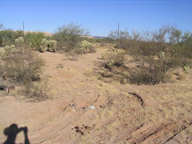
We left home Friday and camped a night at the Gilbert Ray Campground, west of Tucson. The next morning, we got up but didn't get moving immediately. We didn't need to be starting the hikeat dawn, so we had time to relax. I walked into the desert south of the campground to snap a few photos of Keystone Peak, still way off to the south.
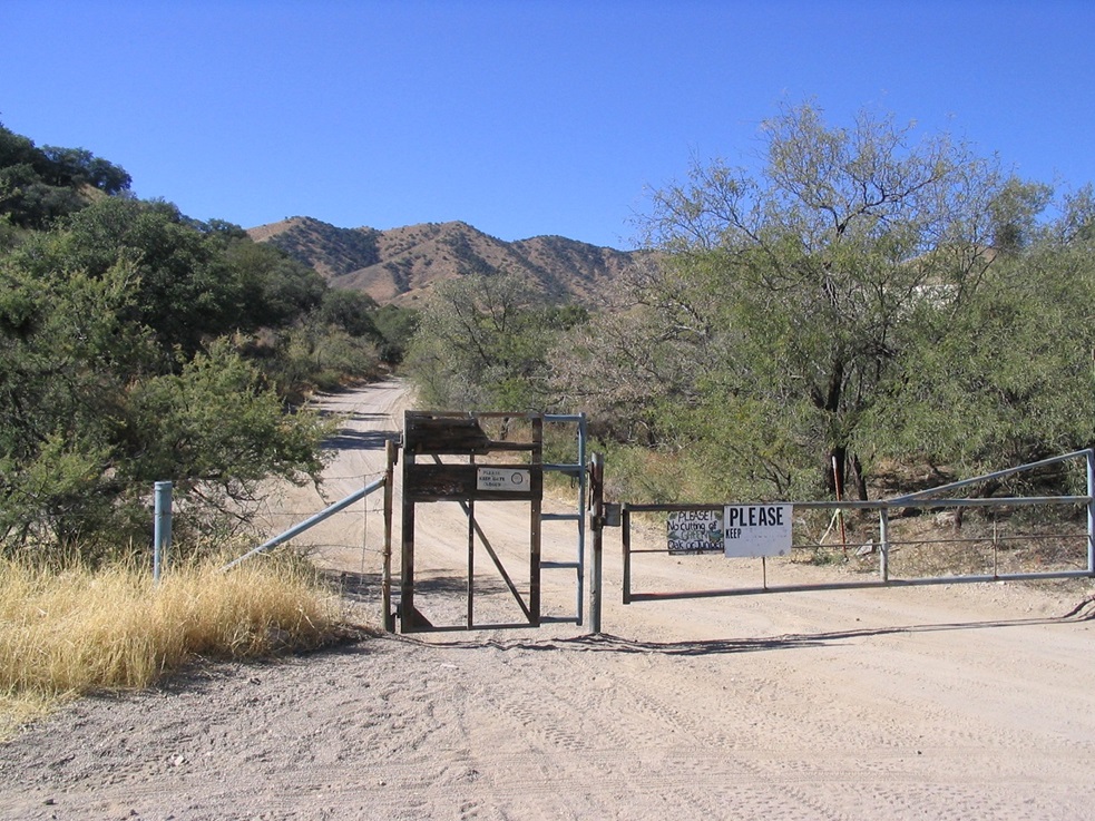
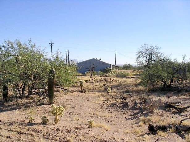
We packed up and got moving around 10, driving south and deliberately avoiding Interstate-19. We took Mission Road south through the San Xavier Indian Reservation (famous for its 18th-century Spanish mission, San Xavier del Bac). After the rez, the road continues south through high desert, much of it the domain of the big mining companies Phelps-Dodge and Asarco. We stayed on the main road until we came to McGee Ranch Road, and from there, drove west six miles into the community of McGee, about 35 miles from our campsite. We parked near a water tank at the end of the pavement. A few other vehicles were there, too. A gate spans the road leading into the range.
As we were getting ready, a guy rolled down the road from the mountains on his ATV and when he came out, we talked for a bit. He was a big, burly guy, but very friendly and quick to fill us in on the history of the region. First question was, what's the deal with McGee? Is it a town or what? It doesn't appear on most atlas maps and the topographical maps list it as "McGee's Settlement". He said it's a community, all private land, all the domain of the McGee family (and other families) who have homesteaded continuously these lands since 1901. He himself was not a McGee but a relation, and his family went back about the same length in these parts. He works at the mines, as do most people here, but it is clear that some ranching goes on as well.
The other main topic was the potential for meeting up with Mexican border crossers and coyotes (the human kind). He told us of tales of catching a whole group himself and calling the Border Patrol to come get them. Violence is rare but not unheard of. We did not bring any weapons on this hike, but just the same we weren't too worried. He gave us the Tucson and Nogales Border Patrol phone numbers for our cell phone just in case.
We were talking with this guy when about 20 people showed up, coming down from the hike and all part of a hiking club from Tucson. The guy jokingly said "let's all speak spanish" and try to avoid getting caught up in chit-chat, but that's exactly what he did: chit-chat with the throng. We theorize that he really enjoys the company and regaling people about the history of the region. A thoroughly cool fellow ... but we never got his name.
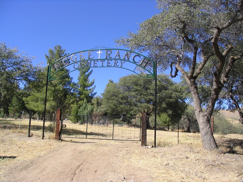
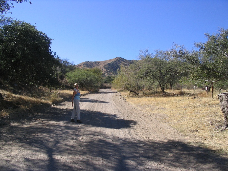
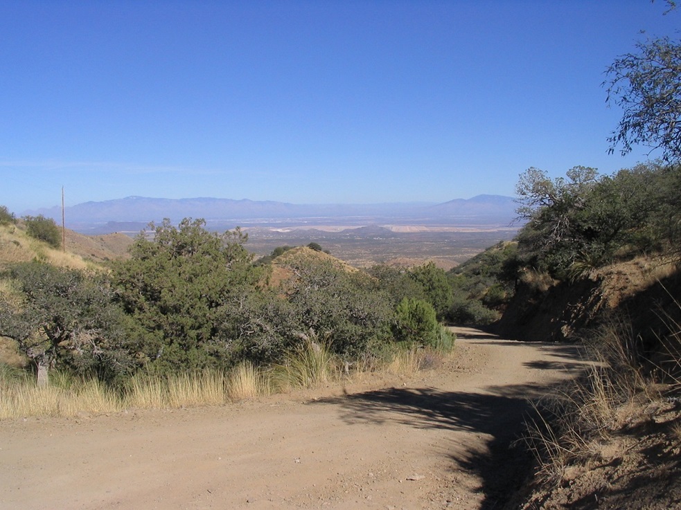
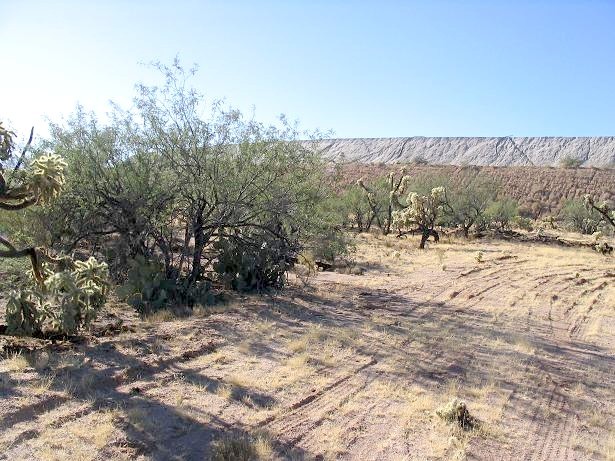
It was a shade after noon when we were finally ready to hike. The sun was warm but fortunately the road in was set at a very moderate grade, so we made good time. We passed the cemetery after a few feet, then stayed on the main road as it gained into the hills, sometimes steeply, for a little over a mile before coming to a pass at 5,400 feet elevation. We had taken a break shortly before this point. A number of roads split to the right but these were all ignored.
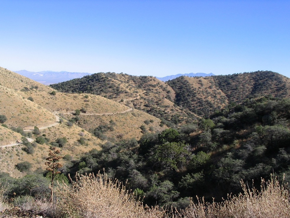
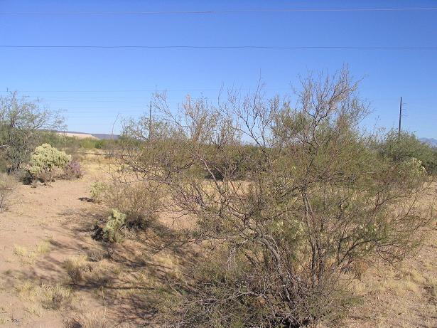
At the pass, however, the road splits into three, and we wanted the right-most road. The main feature here is a big watering hole, called Ox Frame Tank, situated about 100 feet below us down yet another road. Placer Peak stood up directly to the west, and a tower from Keystone Peak poked up above the ridgeline beyond. We hiked along the road about another mile before taking another break in the shadow of a juniper. The scenery was tremendous. The range is high enough to be out of the desert life-zone so that the hills aren't all stark scapes of desert scrub but actually grass-covered slopes and forests of juniper. Looking down the various canyons we had unobstructed views of distant ranges, some in Mexico.
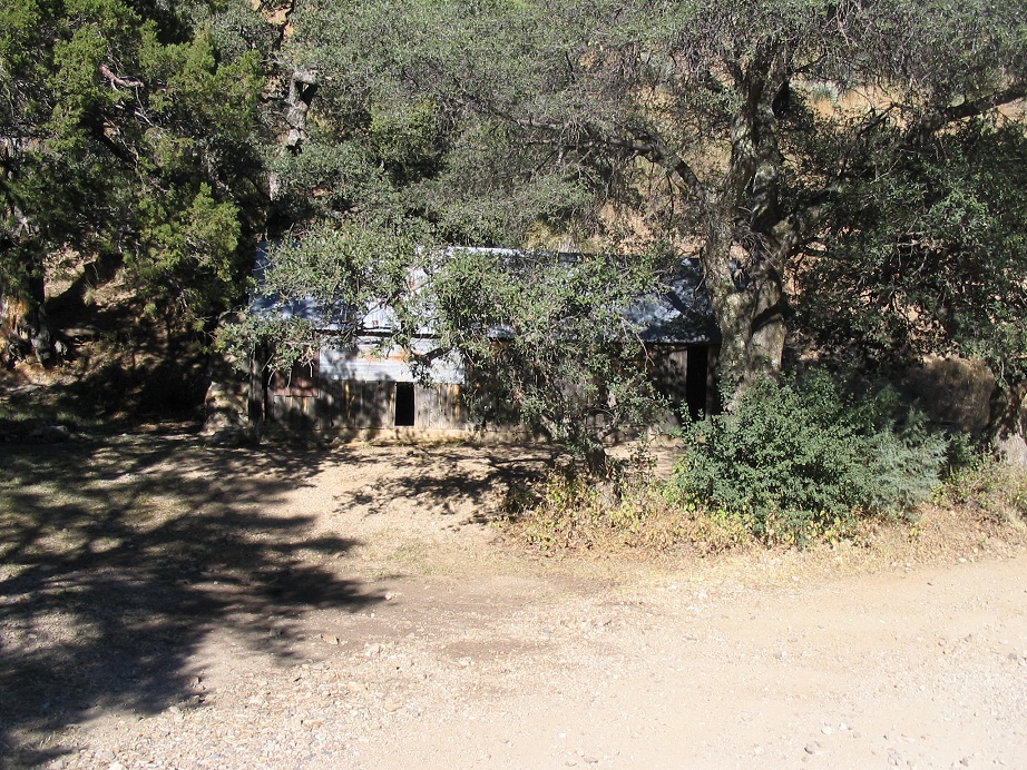
After our second break we were tantalizingly close to the summit. Just the meandering of the road kept us from getting there faster. Interestingly, tucked into one of the turns of the road is an old cabin. The guy we talked to said we might see a cabin built by one of his/McGee's ancestors, and it dates to about 1911. The cabin was in poor shape, but a table and fire-ring nearby suggest it's used as a camp on a regular basis.
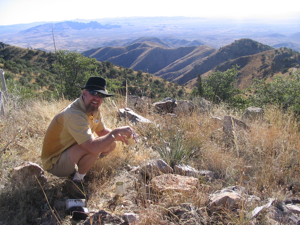
After more meandering, the road comes to the main range crest. We took a side road to the left that was brushy but went up in long switchbacks, but soon we knew this wasn't the right road ... but we were so close to the top anyway that a few feet of cross-country and some short steep gains didn't stop us, and there we were, on top of Keystone. A bunch of towers, buildings and fencing greeted us. We hiked around to the south end and found the summit marked by a large thick pole of some sort, function unknown. I found a sign-in register with names dating back to 1985. We rested, enjoyed the views, and had munchies and drinks but decided to get moving to gain some distance out.
We hiked down the better road, which meets up to the main road on the southwest corner of the summit hump. We walked back a quarter-mile then took a lengthy break, enjoying the late-day sun (and it was quite warm). I took photos of the distant ranges, but the sun was making the photography difficult. The shadows began to grow long, putting most of the road into shadow, and we tried to hustle to take advantage of the remaining sunlight for another break, but the sun was just too quick for us. We took another break back at the pass near Ox Frame Tank. We were back to the Subaru at 5:30 on the nose, exactly five hours after starting.
There was still light to allow us to change and shed the boots, but we got rolling soon because most of the roads here are open range and we didn't want to deal with cattle on the road in the dark. We stopped for goodies at a store and had a late dinner back at camp, then crashed deeply for the night.
The next day, we drove south a little to visit the North 32, West 111 latitude-logitude confluence, which lies near Interstate-19. We exited onto Pima Mine Road, and I drove to the 111th meridian and parked. The actual point is about 200 feet south in the scrub. I scooted under a fence and soon was at the point. It's surrounded by tailing mounds from the big mines out here and is not that interesting a point. I didn't linger, I snapped my images and got back to Beth. This was it for our weekend vacay. We drove home from here.
|


|