
The Mountains of Arizona
• www.surgent.net
|
| Peak 3052 |
• Mazatzal Mountains • Tonto National Forest • Maricopa County |
|
Date: March 10, 2021
• Elevation: 3,052 feet
• Prominence: 412 feet
• Distance: 2 miles
• Time: 90 minutes
• Gain: 760 feet
• Conditions: Sunny and windy
Arizona
•
Main
•
PB
•
LoJ
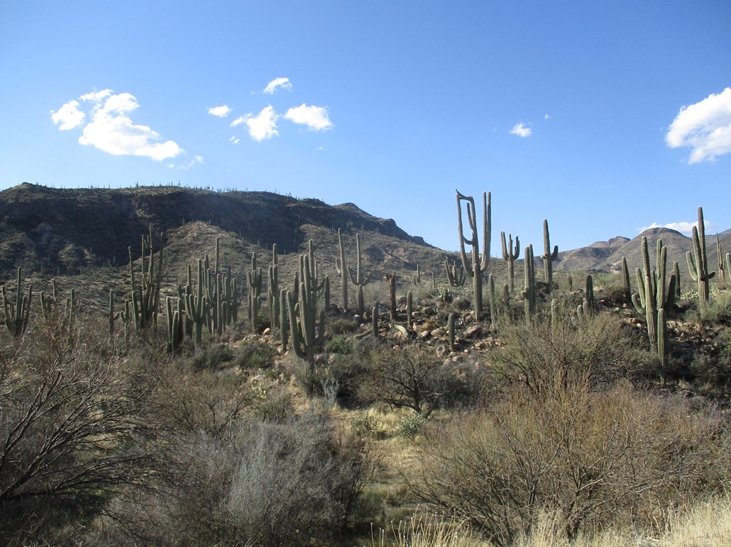
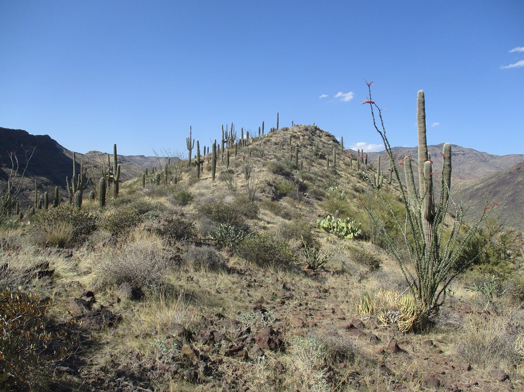
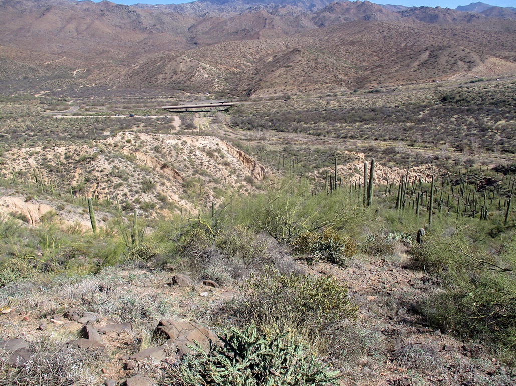
Peak 3052 rises just a half-mile west of the Beeline Highway, south of Black Mesa South, and near the Sycamore Creek OHV Staging Area. The peak has no name but is a ranked peak, with about 400 feet of prominence. It appeared from a distance (e.g. staring at it while driving the highway) to be a simple peak with an obvious route up its south ridge.
I was at ASU for the day, and did not get rolling from my office until 1 p.m.. I drove north up the Beeline, first looking at Sugarloaf Mountain near the Four Peaks Road junction. I drove in a little bit to give it a look and decided I wasn't interested in it today. So I drove back out and up the Beeline about 10 more miles to the Sycamore Creek OHV access road. I rolled in a little after 2 p.m. and parked amid the many vehicles and toy-haulers already here. The day was sunny and a little warm, about 70 degrees, warm enough for snakes to be active. It was clear but fairly windy, gusts about 20 m.p.h..
The summit is at the north end of the small ridge. Toward the south is an obvious saddle, which is what I aimed for and what would get me onto the ridge. I walked into the Sycamore Creekbed itself, a mix of sandy roads and actual creekbed, walking below some sandy "cliffs" measuring up to 40 feet high that front the creekbed. I walked until I found an opening in these cliffs, essentially guessing and hoping it would work.
I hiked up the opening, a narrow and brushy drainage emanating off the peak and draining into Sycamore Creek. I followed it for about two hundred feet, gaining about 50 feet and the slopes starting to open up a little more. I was now above the cliffs and on the slopes that lead up to the aforementioned saddle.
I left the drainage and hiked through brush to place myself on the "main" slope, still guessing, but I got lucky and was exactly where I wanted to be. The saddle looked to be about two hundred feet higher and the slope laid back nicely, slightly brushy but often with many lanes to follow. Partway up, I found what looked like a path and followed it, more or less, to the saddle.
Next, I needed to get up another slope, about a hundred-foot gain, which would put me on the main ridge. This went well, but I had to angle a little left to avoid some rubbly slopes with bad footing. I found myself in moderate brush and rocks, which helped footing. The climbing was not difficult, but a couple times I was trapped on three sides by heavy cactus and had to retreat for an alternative. I was soon on top the ridge, a little scratched up. The wind up here was a stronger and cooler, too. Although a warm day, the wind had a chill to it. (As things turned out, a weather system moved through the state starting Friday, dumping rain and snow. This system then moved into the Midwest and places like Denver got up to 3 feet of snow. So what I was experiencing may have been the barest beginnings of the front coming through in a couple days.)
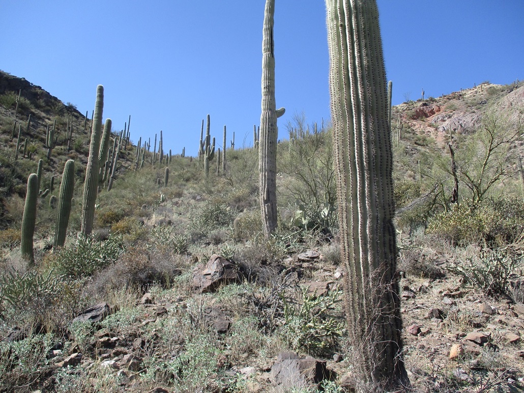
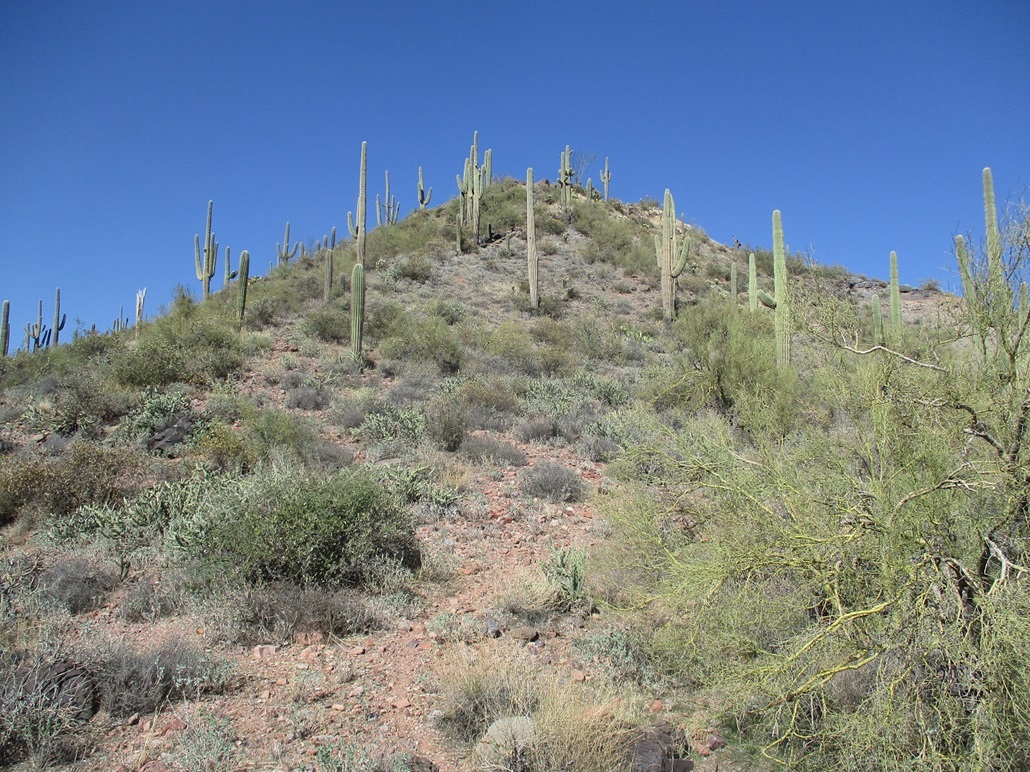
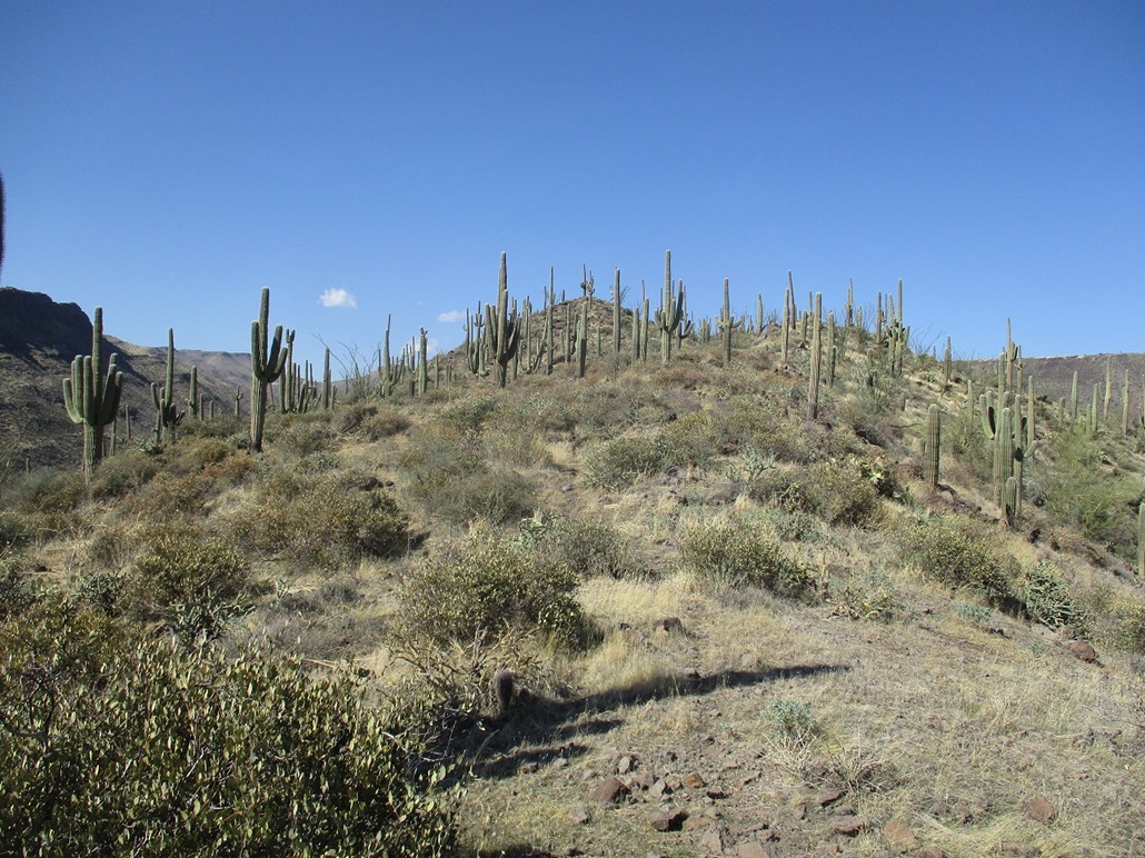
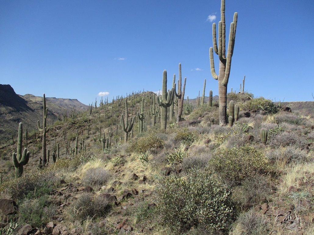
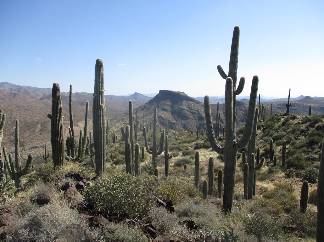
Now on the ridge, I walked north, aiming for a bump up ahead which I knew was not the summit. Up here, the ridge itself was mostly open with light brush and a faint path, and a lot of saguaro. They were everywhere, the peak like an island of these big stately cactus. I walked to this first bump and soon saw the real summit up ahead, not too far. I just kept to the ridge, weaved through the rocks and brush and big saguaro, crouched when the wind got too strong, and was on the summit fairly quickly, about 40 minutes after starting.
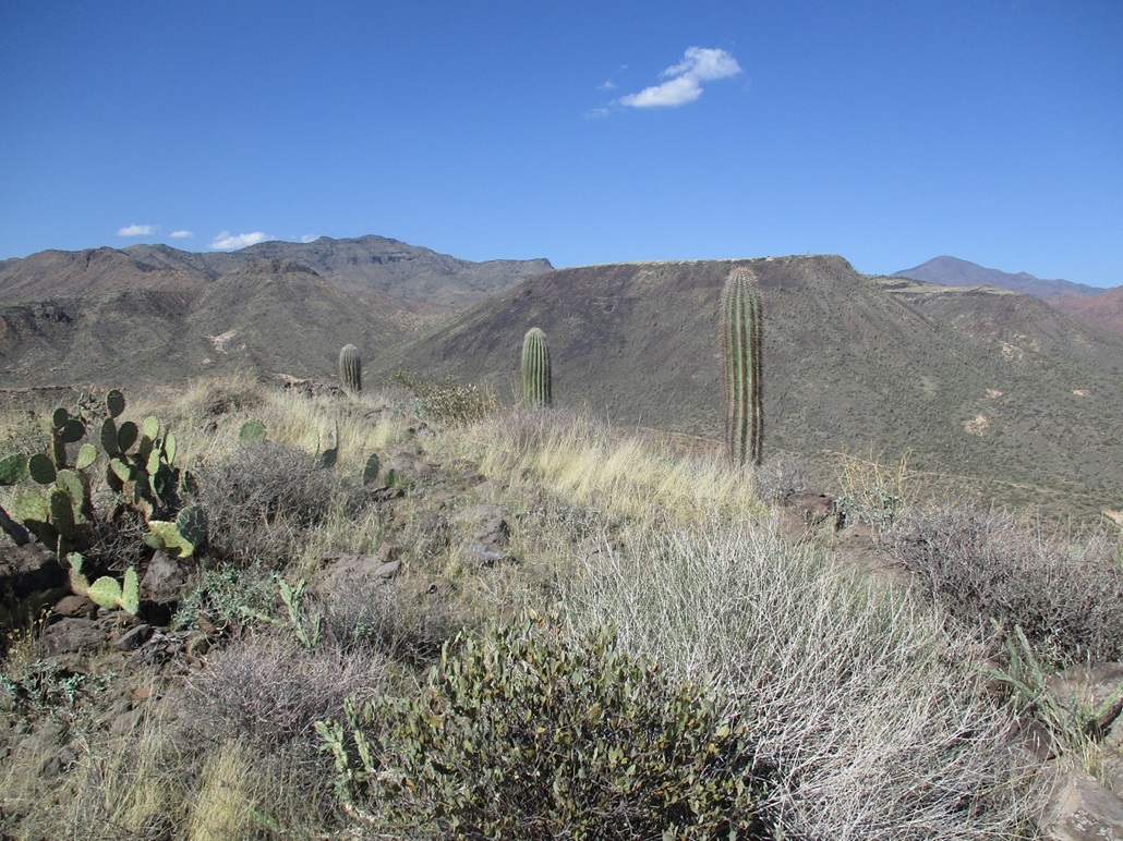
The top featured a cairn and a register. Someone was here a couple weeks ago, but not too many people overall. The register went back about ten years and held about ten names, mostly people I knew. I had good lighting for photos, and I took a ten-minute break up here to enjoy the views. I could hear the faint hum of the traffic on the Beeline below. At times, the wind would gust and I would get a chill. Over all, this was an enjoyable summit.
I headed down exactly the same route, encountering no issues at all except for brush and a few cactus run-ins. I got a few scratches on my legs from barrel cactus. The scratches never hurt, but you look down and the next thing you see is a long trickle of blood. Must be something in the barrel cactus spines, maybe a combination anasthetic and blood thinner. The worst run-in was grabbing onto a prickly-pear cactus (don't ask me why I grabbed onto one). These cactus have fine hairy spines that you don't see, but oh boy, do you feel them. The big spines are easy to see, but the finer ones are invisible and they hurt. I spent five minutes pulling out what I could and continued to pull out these little spines for hours afterwards.
I was back to my car about 3:30 p.m., most of the OHV people gone by now. I took a few more images, then eased onto the northbound Beeline, back home to Payson about an hour later. The hike had gone well and was simpler than I expected. I would not drive all this way for this one hill alone, but being on the way to (or from) work, it was a good short hike to break up the drive, especially since I had just a couple hours available. I especially enjoyed the ridge, with its thick saguaro forest.
|


|