
The Mountains of Arizona
• www.surgent.net
|
| Black Mesa • South Mesa |
• Mazatzal Mountains • Tonto National Forest • Maricopa County |
|
Date: March 23, 2020
• Elevation: 3,570 feet (3,587 feet per LIDAR)
• Prominence: 331 feet (per LIDAR)
• Distance: 6 miles
• Time: 2 hours and 15 minutes
• Gain: 1,230 feet
• Conditions: Sun with fast-moving clouds, blustery and cool
Arizona
•
Main
•
PB
•
LoJ
There are two mesa formations side by side on the west side of the Beeline Highway, just south of Sunflower, near milepost 214. They are volcanic mounds of basalt rock with sloping flat tops, and are easily visible as one drives northbound on the highway. The north one is higher and is creatively called Black Mesa. The south one has no name, but is naturally the "south" Black Mesa.
I actually drove 75 miles to go to work, going to my office at ASU. With the lockdown and social distancing amid the coronavirus outbreak, there's almost no one on campus ... but I wanted to just get out for a day. I had a couple small errands to do anyway in Scottsdale. I spent three hours in my office, answered a few emails, talked to a couple colleagues, and spaced. By noon, I was done, so I headed home.
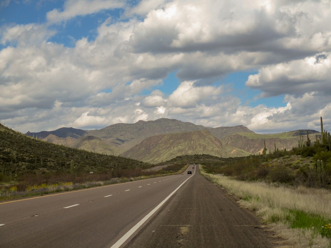
The day was sunny and pleasant with high puffy clouds moving through, evidently the front of some system up to the north. As I drove north up the Beeline Highway, I had maps handy for a number of hilltops in this corridor. I chose to hike the south Black Mesa today. I arrived to the Sycamore Creek ATV staging area off of the highway at 1:15 p.m., the day still sunny but noticeably cloudier up here. These clouds scooted through fast. They did not linger. As such, I would have periods of sun and warmth, then muted light and cooler temperatures. They were pretty clouds, perfect for photography.
I chose this hike because it had a forest track for most of the way, and given my late start, felt I should still be able to complete the hike well before sundown. The peak has only 310 feet of prominence, but from where I was starting, I'd be looking at over 1,200 vertical feet of gain.
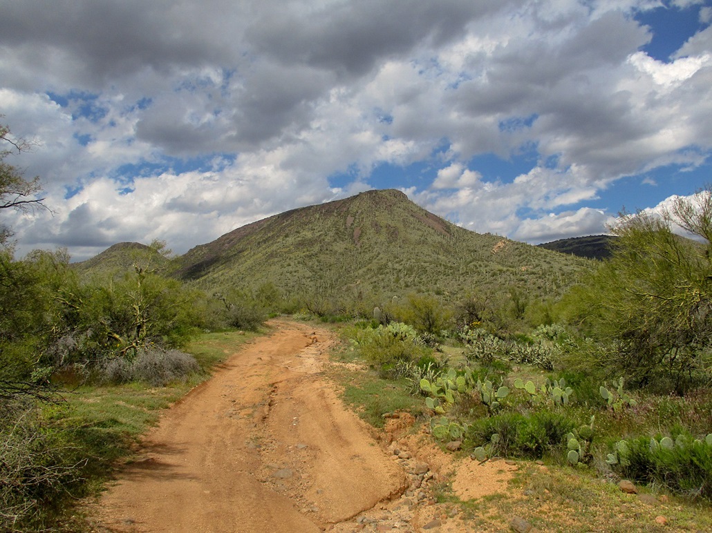
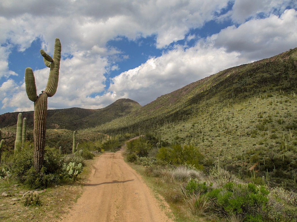
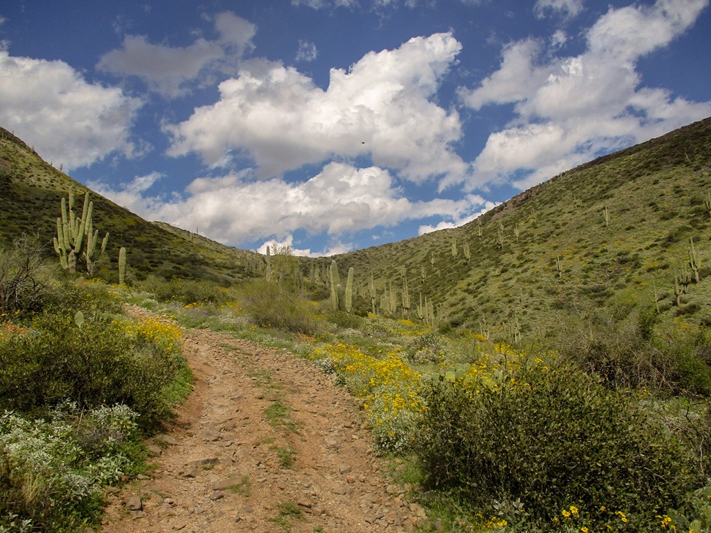
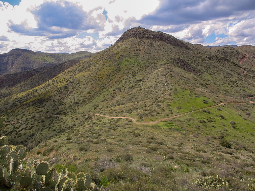
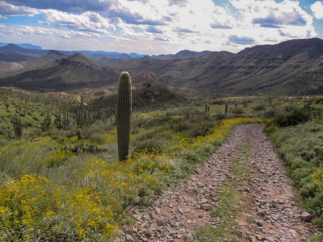
I had my hiking duds, boots and pack already in the car. I was ready to go in moments, and started hiking north up a sandy road bed. Soon, I found the Forest Road marker for FR-1333. The road turns right up a ridge and out of the roadbed. For the next two miles, I followed FR-1333, north then northwest. The road is atop a long ridge and is not a bad road for about a mile. It gained at steady and moderate rate, and I made good time.
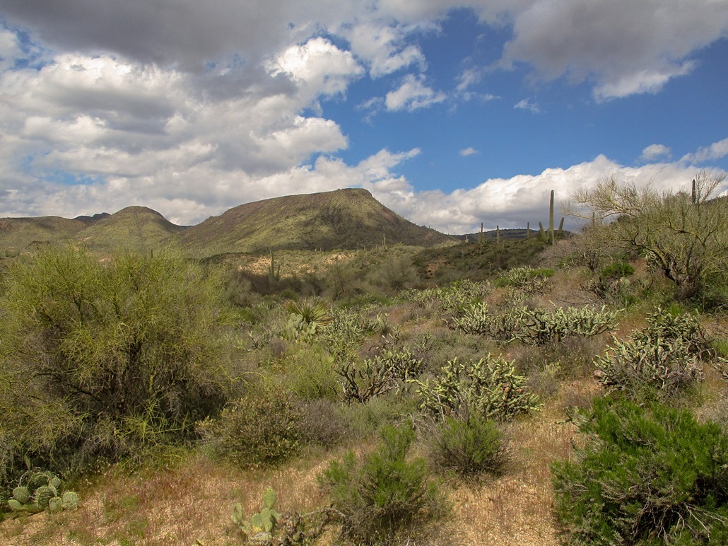
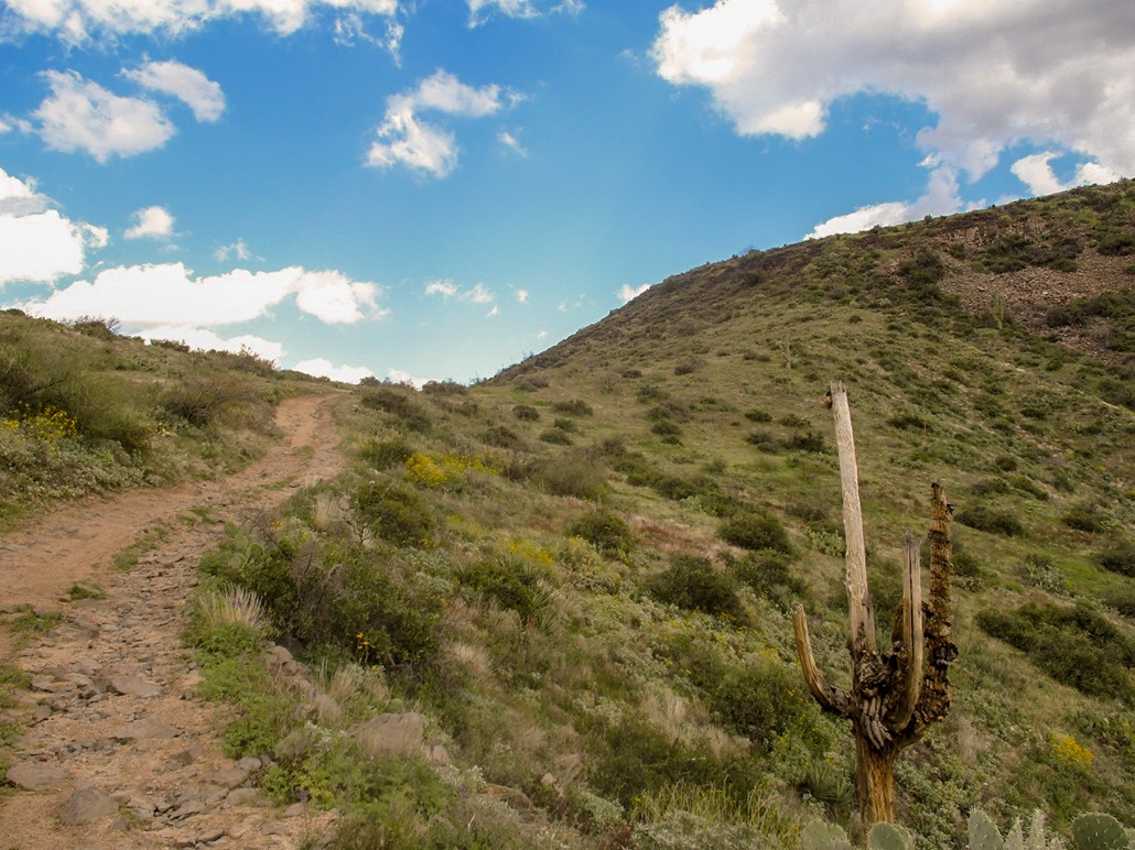
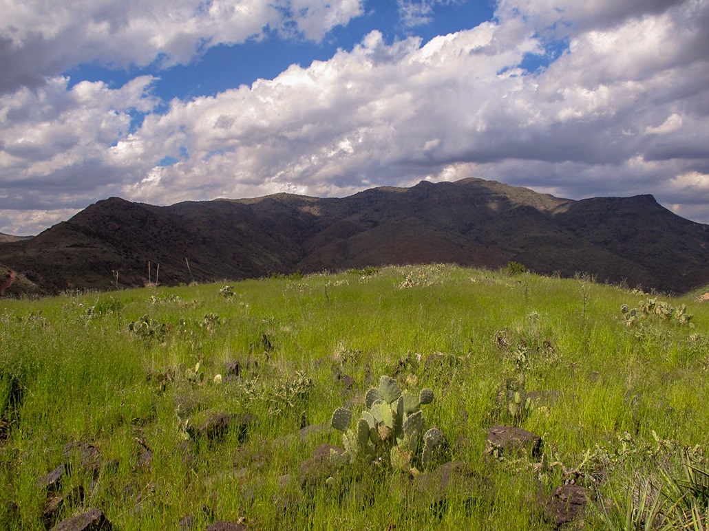
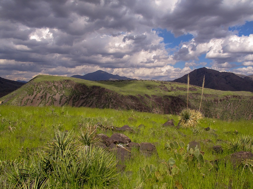
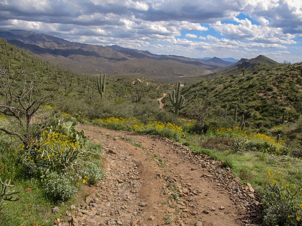
The road sweeps westbound below the south-facing slopes of South Black Mesa. Here, the road steepens, and gets a little rockier in spots. It enters into a small canyon where erosion has done a number on the shoulders. Then it suddenly gains steeply out of the canyon, now trending north to gain the saddle (elevation 3,240 feet) west of the summit. Up here, the road was basically a layer of rocks, each about a foot wide. The slopes were blooming with Spring's flowers. I saw lots of yellow ones, purple ones, and a few orangies. I was at the saddle roughly an hour after starting, having gained just shy of a thousand feet. Up here, the wind was brisk, funneling through the pass.
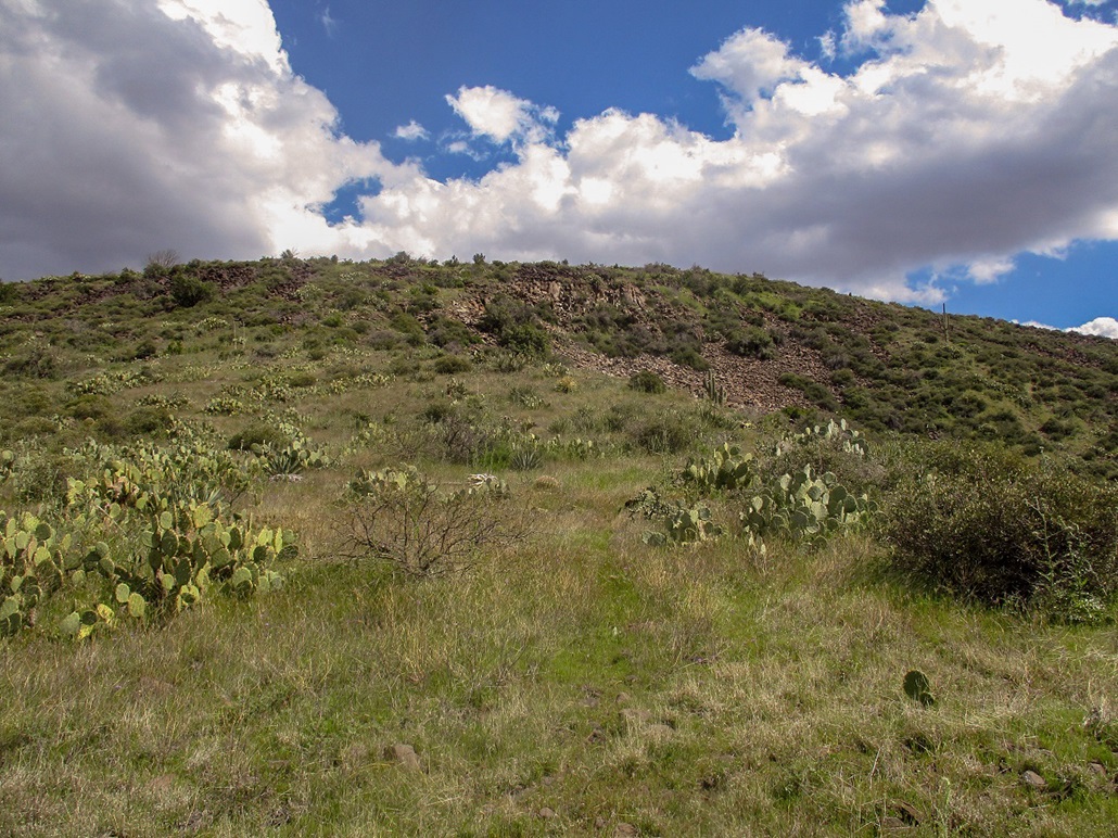
I then angled upslope. I found a weak path through the low grass, cactus and shrubs, but soon found myself on a long cascade of black talus. These rocks were solid (except a couple) and pitched at a reasonable gradient so that I was able to get up them without much issue. This talus "lane" covered about a hundred vertical feet.
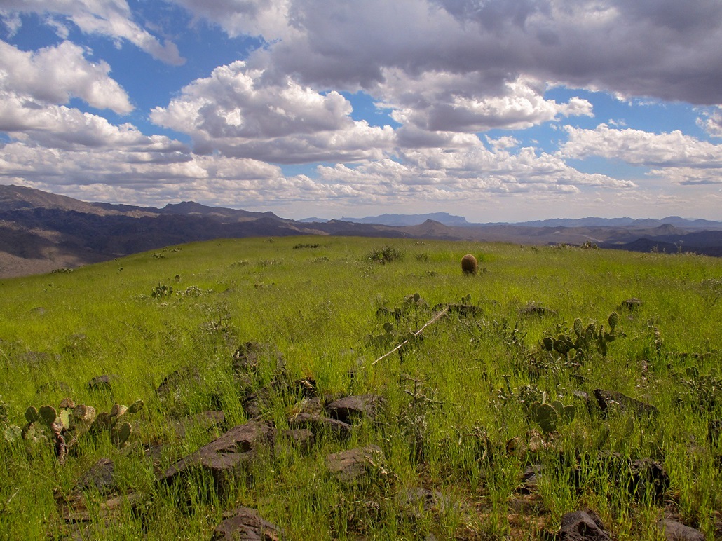
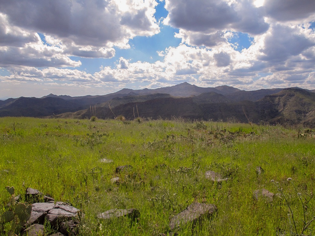
Now I was on the upper plateau. The whole place was covered in this interesting tall grass with thick stalks. Each "blade" stood about two or three feet tall, and when I walked though them, they did not make me itch. I was able to find the apparent summit without any trouble. The highest point could be any of about four big boulders. I tagged each one and found the register in a cleft of one rock. I was the third to sign in, the first in two years.
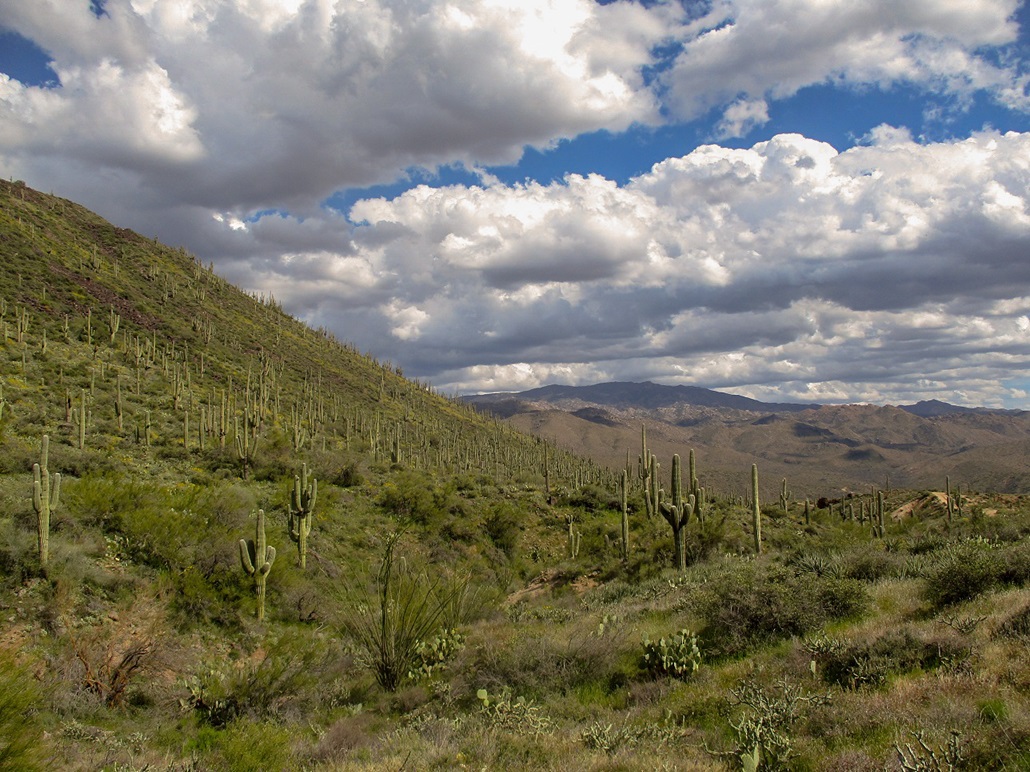
I spent ten minutes up top. The views were awesome. The grass contrasted well with the colors of the surrounding mountains and the blue sky with the white (and gray) puffy clouds. I enjoyed this perch a lot. Only the steady and cold breeze prompted me to get moving.
The hike down went well. I carefully eased down the talus slope, then once back on the road, fast-walked and even jogged some of it back to my car. I was back by 3:30, a two-hour, fifteen-minute journey. I was pleased that I was successful and that it went quickly. As things developed, the clouds were the edge of a fast-moving front, which up in Payson (which abuts the Mogollon Rim) meant they just piled up and dropped a few showers, but nothing heavy. By the next morning, all the clouds were gone and we had sunny skies.
It may seem natural to consider climbing both Black Mesas on one hike, but it does not seem practical. There is a different batch of forest roads north of the North Black Mesa that should work, and I'll hike those roads to North Black Mesa some day.
Update (February 2021): I hiked the north mesa a little under a year later.
|

|