The Mountains of Arizona
www.surgent.net |
|
Pit View Peak (Peak 5816) • Horse Pasture Hill These two peaks are in the Sierrita Mountains between Tucson and Nogales. I've been in this range exactly once, back in 2006 when my wife and I hiked Keystone Peak, the range highpoint. I probably would never have bothered with these peaks, but I was in the area with no plan. I had a day open, not necessarily by design. So here I am. All I had to go by was my state atlas, and suddenly, I remembered the Sierritas are close by and covered in roads. I wouldn't need much preparation. The only map I had was what I saved on my phone.
Date: December 15, 2022
• Elevation: 5,816 feet
• Prominence: 416 feet
• Distance: 7.6 miles
• Time: 5 hours & 45 minutes (entire hike)
• Gain: 2,250 feet (1,125 feet one way, 2,250 feet total, because I did it twice)
• Conditions: Cold and sunny
Arizona
•
Main
•
PB
•
LoJ
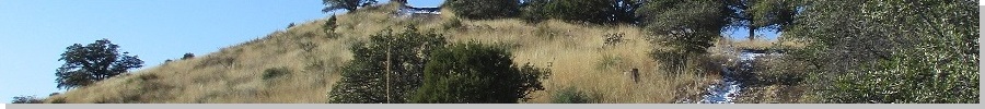
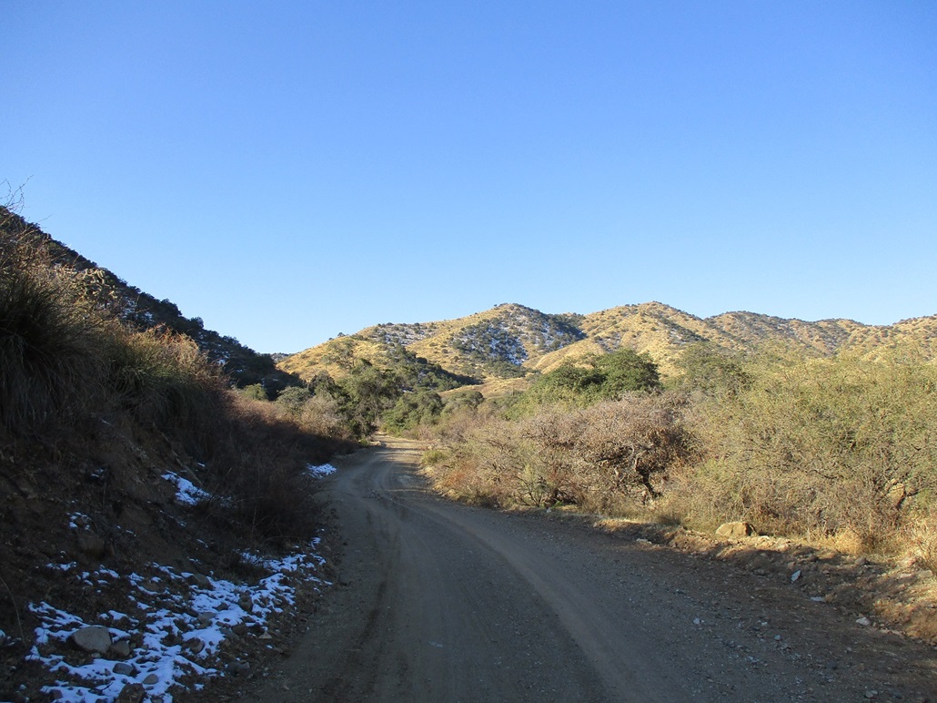
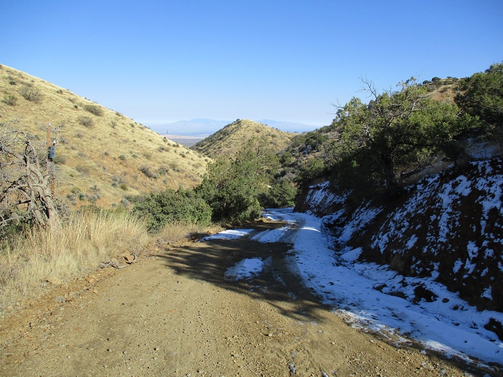
From Green Valley, I drove a few miles to McGee Settlement, a "private" town composed mainly of the McGees and their clan, this I learned from meeting a McGee on our 2006 visit. But access is not restricted. I parked at the water tank, near a gate that spans the dirt road leading into the heart of the range. It was very cold when I pulled in, below freezing. A storm had passed through two days ago, dropping snow down to about 4,500 feet of elevation. I was at 4,680 feet at the water tank. There was no snow here, but plenty on the hillsides above me.
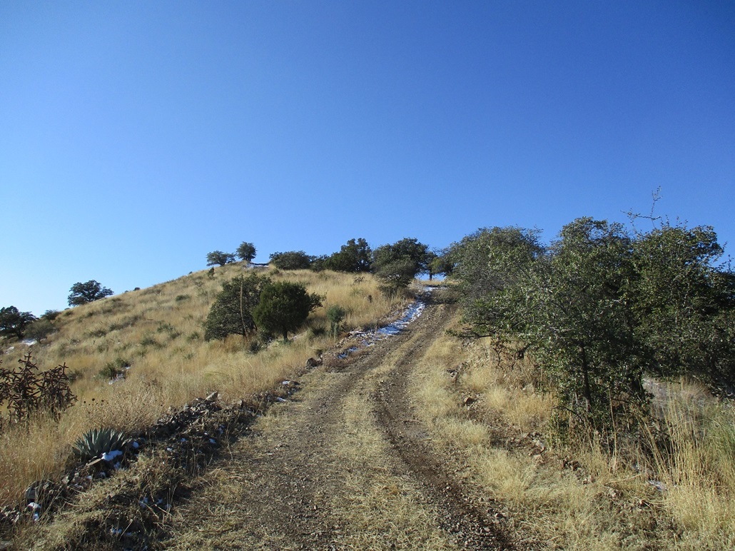
I started walking at 8 a.m.. The hike is simply a trudge up the road, a gain of about 700 feet in a mile and a half. The road is wide and regularly maintained, and gets steep at the end. About halfway up, I encountered more snow, some in the road, more on the hillsides. The road snow was just a couple inches thick. In the shade, there were patches of ice. There were also bootprints and tire tracks through it. Clearly, there was activity in the past day.
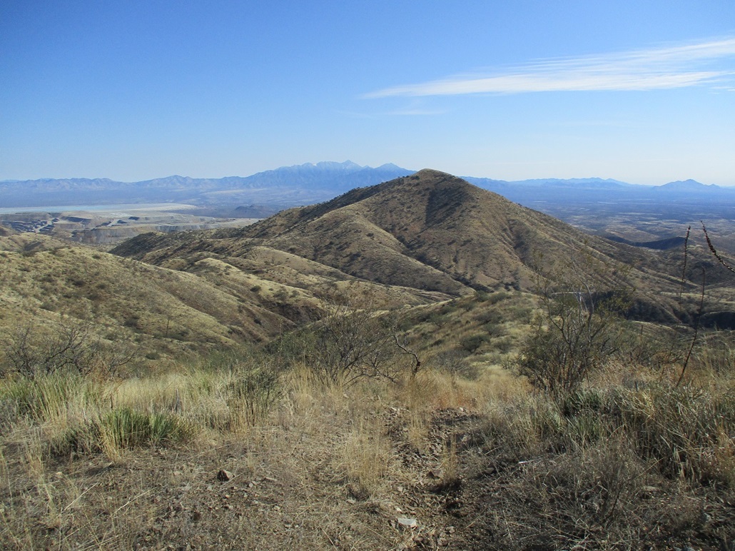
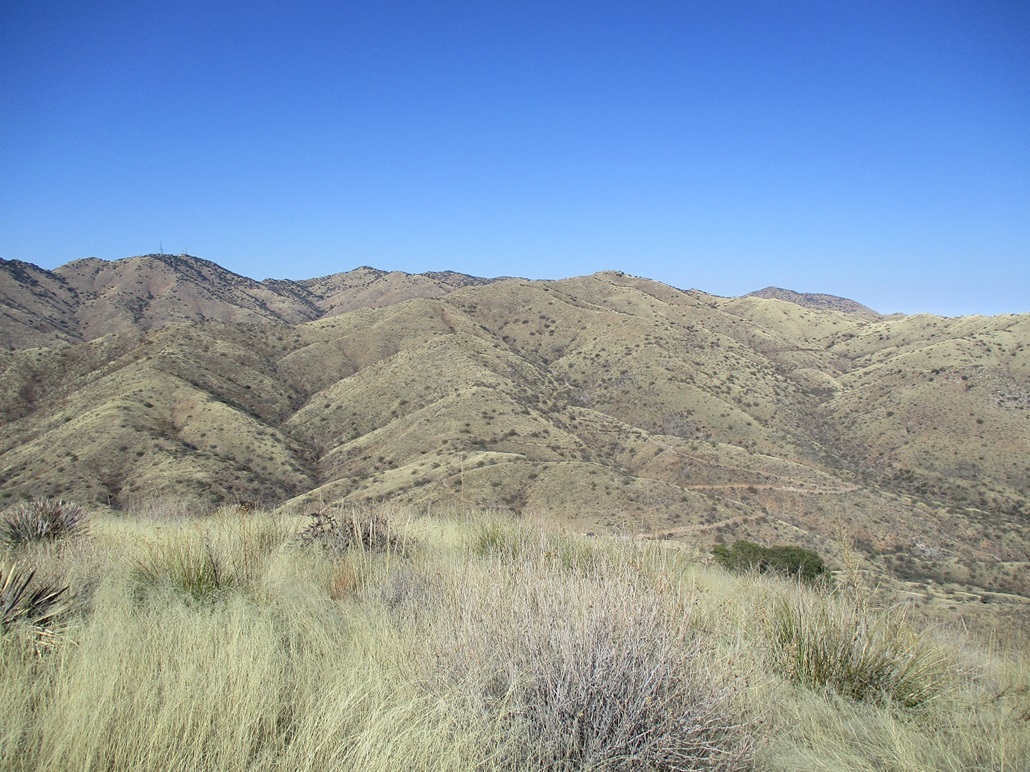
At the saddle, the road splits three ways. A right leads eventually to Keystone Peak, whose towers were visible directly ahead. A straight goes downhill to Ox Frame Tank. A left goes up toward my first peak of the day. I hung a left and marched up this road, another gain of about 400 feet in a half mile, and there I was, on top of Peak 5816, cited as Pit View Peak on Peakbagger.
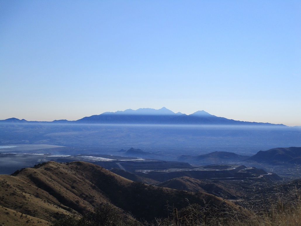
The top is nothing to write home about. The road passes right over it. The rest is just a hump of grass and a handful of trees. It was still cold but warming into the 40s. I sat on the ground and took a break. The valleys below were shrouded in a light fog, but above me was a cloudless sky and no breeze. I sat here for about 15 minutes.
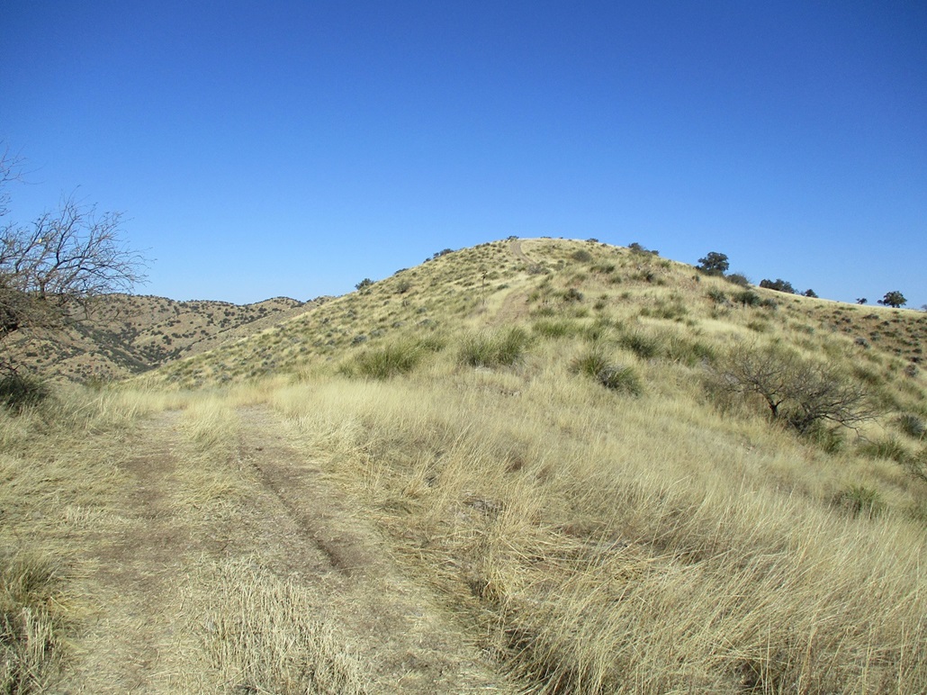
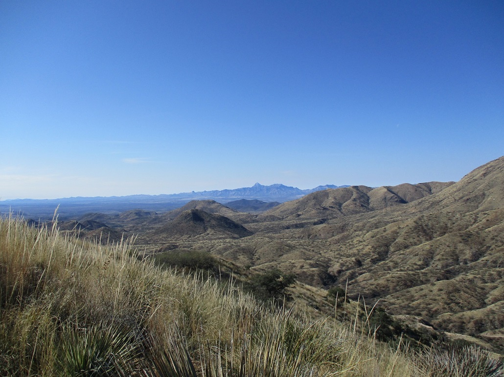
Looking south I could see my next peak, Horse Pasture Hill. It was a mile and a half on a straight line. So, I got back up and started moving again.
Elevation: 5,382 feet
• Prominence: 532 feet
• Distance: 2 miles
• Gain: 700 feet
• Conditions: Outstanding
LoJ
From Peak 5816, I continued south on the road. I would have to lose all of the elevation I had just gained, aiming for Kidoo Tank, elevation 4,700 feet, give or take. The downhill road hike was easy, the road being in pretty good shape for the first two-thirds of the downhill. Once or twice, I would climb a small hill to get an elevated view of everything.
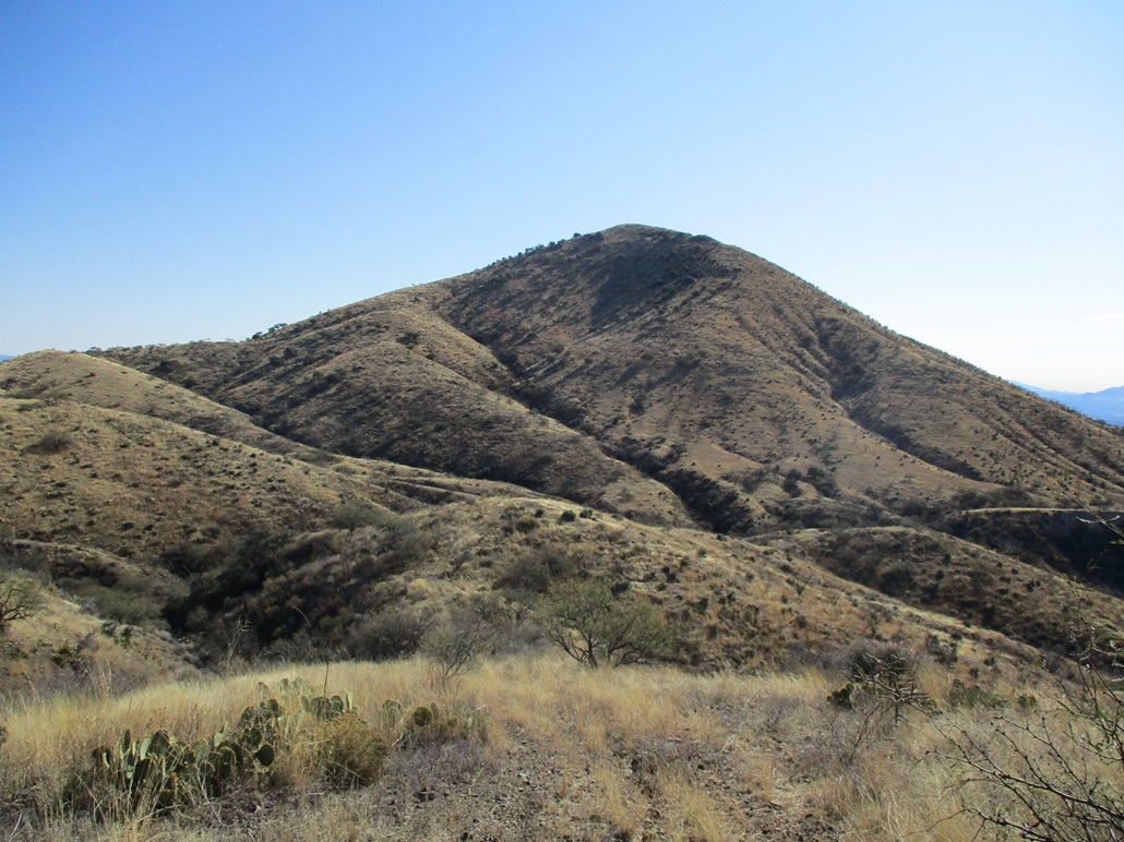
The good road simply ends and from it, a haggard ATV track continues the rest of the way down. This latter "path" covered about 500 vertical feet and was very steep in spots, the rocks loose. It went slow. I could see Kidoo Tank below. The track leads down to it, but getting down it was a chore due to its condition. I took side paths through the grass and low trees just to have better footing. And finally, I was at Kidoo Tank and onto another very good road. Horse Pasture Hill stood in front of me.
On the road now, I walked it east a little bit to its apex near a couple storage tanks, a gain of about a hundred feet. At this apex, another ATV track branches south, onto the slopes of Horse Pasture Hill. I followed it uphill as far as it would go. The road gained about a hundred feet, ending on a small grassy flat.
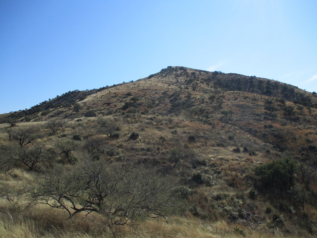
From here, I had another 500 feet to the top, and would be reacquainted with the joy of hiking peaks in this part of Arizona: grass up to the thigh, rolling rocks every other step, and hidden shin daggers. Ironically, these slopes tend to be open with few rocky barriers. But it's the grass, rolling rocks, cactus and shin daggers that slow one down.
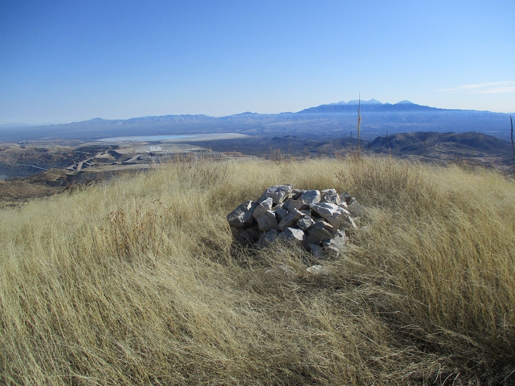
The uphill hike went fine. I got stabbed a few times and lost my footing a few times too. But I was soon on top, an open grass mound with a large cairn. I was happy to get here, so I took extra time up here. I snapped images, looked for a register (I found none), and just sat. I was up here about 20 minutes. The views were fantastic.
The hike down went well. I slowly took the downhills to avoid rolling rocks and getting stabbed in the shins. I was back to the good road, then back to Kidoo Tank. Now to reclimb Peak 5816.
So I got busy walking. I just took it slowly, enjoying the day. It was steep and tedious. No need to rush. I looked around and stopped a few times to sit and relax and have a snack. It took an hour or so to reclimb the 1,150 feet to re-top out on Peak 5816. I guess I should get credit for climbing it twice, but I won't. One credit is plenty. I took another lengthy break to drink and eat and veg.
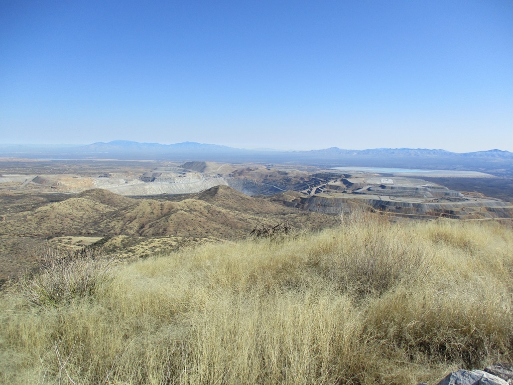
The hike down the road to my car went well. The snow was still there in the shady parts and I even took a slide on a patch of ice. I was back to my car a little before 2 p.m.. I did not change. I exited back to Mission Road, a back-country route that passes by some big mining operations, then through the San Xavier Indian Reservation (a subsection of the Tohono O'odham Nation). I had some notion to hike another small peak, now in my "opportunistic and shameless" mode where any bump will do. But nah, I just kept on going, got through Tucson and back "home" to Tempe.
On the hike down, my phone rang (to use a term from the 1900s). I stopped to see who it was, and called the person back, and received some wonderful news. This happened while I was in a copse of trees about a hundred feet below the summit of Horse Pasture Hill, sitting on a chossy rock "cliff" about three feet high. I won't go into details. It marked a significant step toward the end of a 19-month (so far) ordeal. It felt like a thousand pounds were lifted off my shoulders all at once. It certainly made the uphill hike go easier.
This had been a peculiar few days. Experiencing highs and lows and more highs and more lows. And when I say "highs", I'm not necessarily referring to a peak. I wasn't supposed to be here at all. I didn't want to be here. I wanted to be elsewhere. So getting this call was an unexpected shot of good news, when I needed it most.
|


|