The Mountains of Arizona
• www.surgent.net
|
| Jaycox Mountain |
• Mogollon Plateau • Coconino National Forest • Coconino County |
|
Date: June 3, 2023
• Elevation: 7,431 feet
• Prominence: 351 feet
• Distance: 6.6 miles
• Time: 3 hours
• Gain: 675 feet
• Conditions: Sunny with puffy clouds, then more cloudier with virga
• Teammate: Matthias Stender
• Prog-rock bands played: Nucleus, Planeta Imaginario, Mahavishnu Orchestra, Sonar
Arizona
•
Main
•
PB
•
LoJ
Jaycox Mountain is a broad peak with gentle slopes, located east of Hutch Mountain and west of Chavez Mountain on the Mogollon Plateau, southeast of Flagstaff. Two years ago, Matthias and I planned to hike this peak, along with nearby Turkey Mountain and Chavez Mountain, since they are all accessed by the same forest road. But a flat tire forced us to abort the remaining hikes we had planned that day. Since then, we've discussed going back up to hike it. Finally, we got around to doing it. It would be just Jaycox Mountain today. I'll have to go back on my own for Turkey Mountain some day.
I drove to Payson where I would stash my car and rise with Matthias, as his vehicle is better suited for some of the roads we would be on. I parked at the Walmart in town and got a few things. I needed a new wide-brimmed hat. I wanted to get some basic drinks but all they had in the little refrigerators by the check-outs were the Monster drinks or other super-high caffeine/sugar drinks that I can't stomach. That was kind of frustrating. Anyway, Matthias rolled in a few minutes later. I decided I'd rather not leave my vehicle in Payson. Instead, we convoyed into Pine, a few miles northbound on highway AZ-87, and I parked in the grocery store's lot.
Matthias drove us up onto the plateau, following AZ-87 to Clints Well, then Lake Mary Road to Coconino Forest Road 211 eastbound, signed as 22 miles to Long Lake, which is where we were going. The road was a good road. Then we got onto FR-82 northbound, which is the road we took to Chavez Mountain. This road is okay, when dry. When wet, it can get really muddy. So we get in a couple miles, and coming the other way is a U-haul (!), someone pulling a big RV trailer, a few personal vehicles, another trailer or two, and some weenie vehicles like Passats, cars not really suitable for this kind of road. Where were they all coming from? A little later on, we saw. They were all coming from some camp area, where there were still a lot of vehicles, so something was going on there, but we have no idea what.
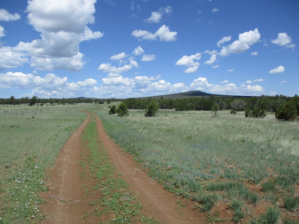
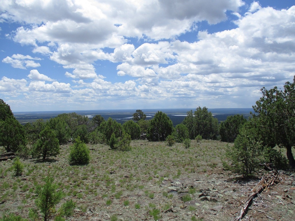
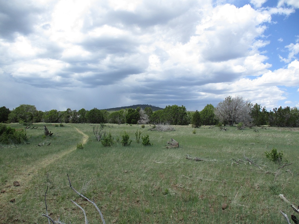
We stayed on FR-82 past Long Lake and Soldier Lake. To here, the road was manageable. My Subaru could handle it, assuming no rain or mud. Beyond the lakes, the road decreases in quality. This is where Matthias' 4-Runner would be handy. From the lakes we were looking at over 5 miles each way to the peak. The farther in he could get, the less walking two old guys would have to do. It took awhile to get to the "trailhead", which was wherever he wanted to park. We stopped in a meadow, a little over 3 miles on a straight line to the peak. We were slightly elevated and we had a good view of the peak: a forested bump with a slightly-steep knoll summit, and long slopes in all directions. The day was sunny but with puffy clouds to the north, temperature at 65 degrees. We didn't start walking until 10:30 a.m..
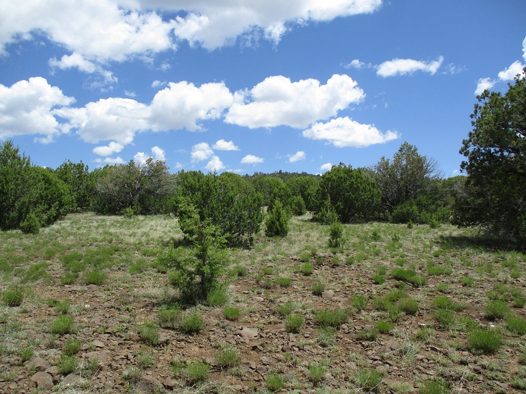
We followed FR-82 all the way to the peak. It actually passes to the west of the peak, but would get us close. The road quality deteriorated quickly, so it was smart to park where we did. For walking, it was fine. We made very good time, as the gradient was so gentle it felt level. The forest here is more spread out, mostly piñon and juniper, and not too many bigger trees.
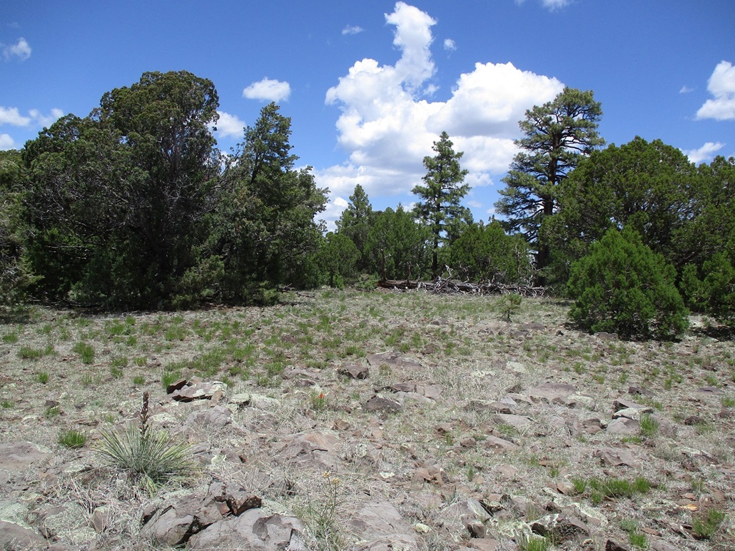
When we were abeam of the peak, to where we could see its summit above the trees, we decided to leave the road and walk the remaining half-mile to the top directly up the slopes. Only the top fifty feet was steep. The terrain was open and easy, no big rocks or heavy brush. We were soon on top the broad summit. We found the register in the oddest of places — sitting in the crook of a big juniper tree, not on the highpoint itself. It was only by dumb luck we saw it there as we were walking right past it. It had taken us 75 minutes to get here, covering 3.3 miles, said Matthias GPS.
The top is forested and flat, with rocks, but open to where there are views if you walk around to find them. We had good views west toward Hutch Mountain, and south toward the lakes. We found the summit cairn, and within it, a new register placed here a year ago. The one we found in the tree was a Lilley-Macleod register going back 20+ years. Some genius had placed it in the tree, and then someone later did not know it was in a tree (why would he?) and set up a new one at the proper place. So we took the signature paper from the new register, put it in with the L&M booklet, reset the original register and booklet in its rightful place, and carried off the new register bottle for use elsewhere. We spent about 15 minutes up here.
The clouds were starting to build to the north and west, some quite gray and dropping virga. It was mixed above us, and sunny to the south. The temperature stayed about the same too. We dropped off the peak and refound the road, and followed it back to the car, a round trip of 3 hours exactly. Someone had apparently added in another mile of road while we were gone, because that's what it felt like walking out. Actually, the hike went well and it was some of the easiest, least sweaty 6.6 miles I have ever done. We met a guy on a motorbike getting properly attired as he was heading north up FR-82 into the rain. He wasn't some kid on some random dirt bike. This was a big bike fully loaded. This guy looked like he knew what he was doing.
We piled in and started the slow drive out, a few rain drops hitting the car, but nothing more intense than that. We exited by taking FR-82 back to FR-211 and that east to the AZ-87 highway rather than Lake Mary Road. The drive back to Pine went well, there being the usual amount of traffic and slowpokes, but nothing too bad. It was still too early for the drunks. That's usually a Sunday thing up here. I got my car, and we drove into Payson where we had a meal. Matthias then went on his way, heading east toward Show Low/McNary for more adventures, while I drove back to Tempe, arriving about 6 p.m..
I enjoyed this peak, as it was an easy and longish hike, but not an all day epic. The length was about right and the scenery was nice, as it always is up here. This leaves me with just one peak, Turkey Mountain, remaining on this part of the plateau. When I lived in Payson, I systematically hiked all the ranked and soft-ranked peaks up on the Mogollon Plateau. There are a few more I still lack, e.g. some more southwest of Mormon Lake. I always need an excuse to go back. As always, thanks to Matthias for driving.
|

|