The Mountains of Arizona
www.surgent.net |
|
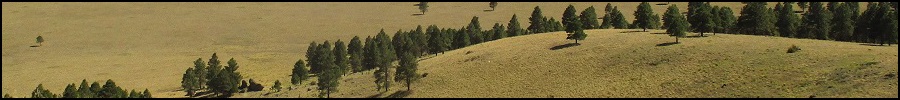
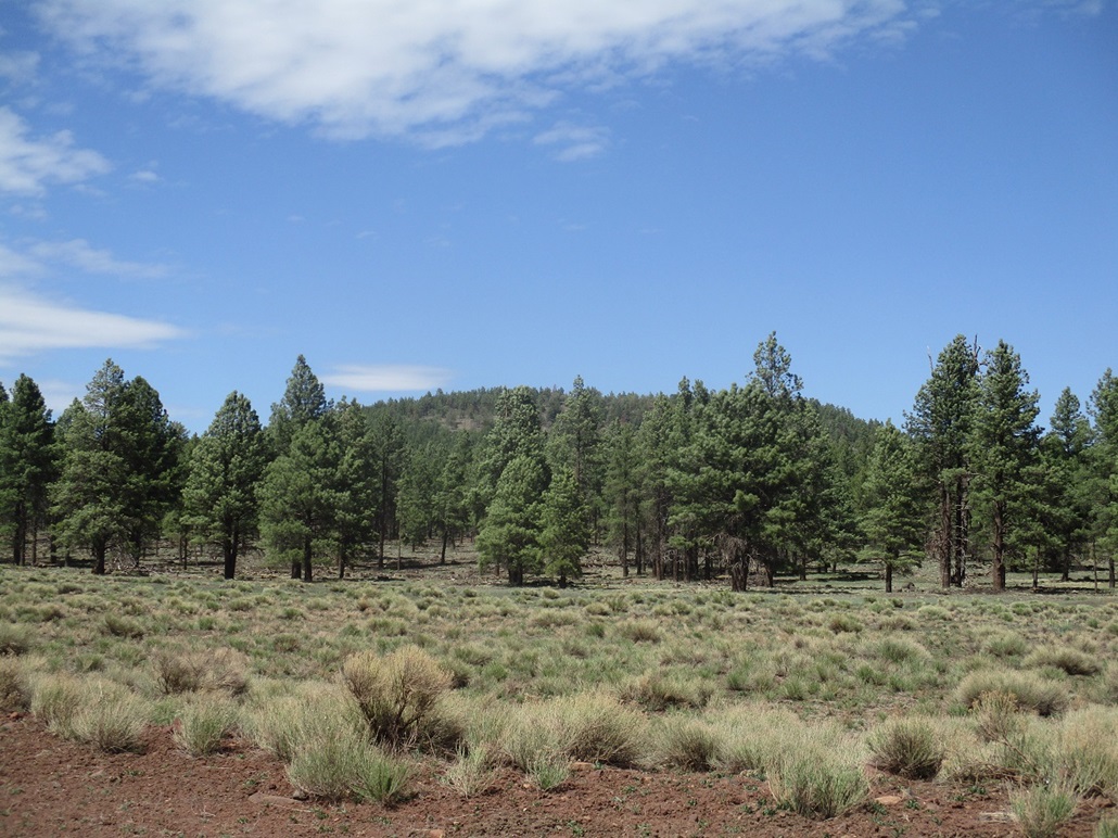
Government Hill • Boxcar Hill • Pine Hill I was heading to Henderson, Nevada, for a week with my father. Today, I would hike three volcanic mounds in and around Williams, then take a hotel in Seligman for the evening. On the agenda were Government Hill, Boxcar Hill and Pine Hill. Government Hill lies north of Interstate-40 at the parks exit. The latter two hills lie east of Williams near Interstate-40. I have hiked most of the surrounding hills in the area but had not yet hiked Boxcar Hill or Pine Hill. Today, I would hike both. These hills, along with nearby Davenport Hill, KA Hill and 7-Bar-K Hill, roughly bound Garland Prairie on its west.
Date: May 20, 2021
• Elevation: 8,450 feet
• Prominence: 706 feet
• Distance: 1.2 miles
• Time: 1 hour & 15 minutes
• Gain: 830 feet
• Conditions: Sunny and cool, slightly breezy
Arizona
•
Main
•
PB
•
LoJ
•
Interactive map
Government Hill is one of a handful of hills and knolls named "Government" in some manner, all bunched together in the forests west of Flagstaff. Last September, I hiked four of the Government Knolls. Today, I would tackle Government Hill. There is also a Government Mountain just a couple miles to the northeast, with similar elevation and prominence figures as this "Hill". Why one gets called a mountain and the other one a hill is something I can't answer.
This was the first day of what would be an eleven-day sojourn out of Payson. I would be staying with my father in Nevada for a week, then circle around Lake Mead through St. George, Utah, then back into Arizona through Page and into Flagstaff again. The plan was to hike all sorts of peaks and bumps as opportunities arose, but also just to get away from Payson and let my mind rest and heal. The situation I am in has been difficult for me emotionally and demanding of my time to where I desperately needed to bail, and not be in Payson. I no longer consider Payson my home. It is merely a place to stay until I get my living arrangements figured out, hopefully soon.
I had some last-minute obligations that caused me to stick around Payson for a few hours this morning, and once those were cleared up, I was free to leave. I motored up the usual route toward Flagstaff, following AZ-87 uphill through the towns of Pine (where I hit that elk a month ago) and Strawberry. Naturally, I get about ten miles out of Payson and catch up to a line of cars about a dozen long, tailing two trucks hauling massive payloads, going about 10 miles per hour. They had an "Oversize Load" car with its blinking lights, but that doesn't really do us much good. We had no choice but to follow slowly. Once in Pine, they pulled off and let us all pass. The rest of the drive into Flagstaff went well with no issues.
I then went west on Interstate-40 to the Parks exit, then north through the town of Parks and up Spring Valley Road. I had two peaks on the agenda: Government Hill, and the Spring Valley Knolls, which are adjacent to Government Hill. I also has a map for Wright Hill, which is south of Government Hill but surrounded by private homes. But Government Hill was the focus. I drove up Spring Valley Road until I was abeam of the hill to its east, then looked for some logical place to park and start the hike.
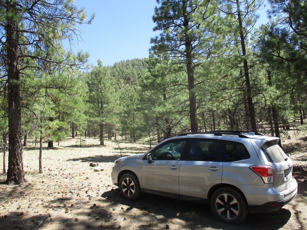
I could have parked along the shoulder of Spring Valley Road and just hiked a long ridge up to the top, but I saw there was a rough forest road, called FR-449 on the map (and by a different number in the field, but I don't recall the number). This road was gated but the public was welcome to pass through, being mindful of cattle in the area (I saw none). I drove this road about a mile west, until I was roughly south-southwest of the summit. I drove until I found a good place to park, then pulled in and killed the engine. I was about 7,700 feet elevation, the summit over 700 feet higher but close, less than a half-mile on a direct line. What this meant was a very steep but short grunt up the slopes to attain the top.
The forest was just thick enough to where navigation could be a concern. I still have not incorporated a GPS into my routine, preferring to use maps and reckoning, but in this case, I was concerned I could get off a bad bearing in the trees and make this into more of an epic than desired. Getting lost would be difficult, as the peak is completely surrounded by roads, but I did not want to be going down a wrong bearing down some nasty slope if I could avoid it. So I went with an old retro technique: surveyor's ribbon.
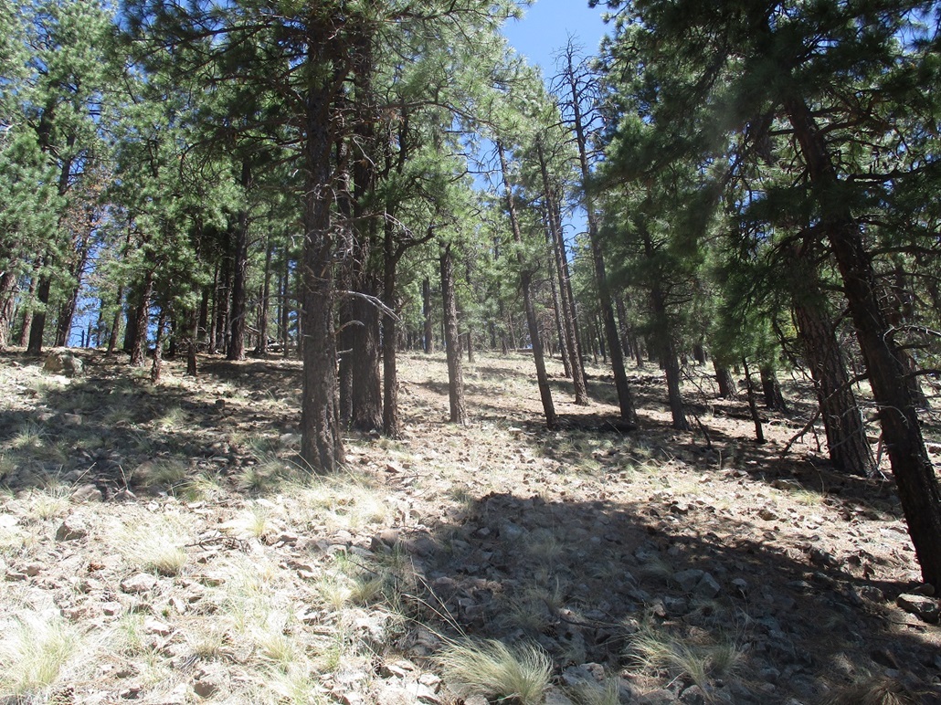
I started up hill and every hundred feet or so, would tie a ribbon to a branch, then repeat, so that I could always see the one below from the one above. The hiking itself was steep and unexciting. But stopping every couple minutes to tie a ribbon also allowed me to rest briefly too. About halfway up I came upon a path, possibly a horse path. I followed it a ways but it grew indistinct, and I continued straight uphill. Soon, I was done with the steep slopes and approaching the southern summit.
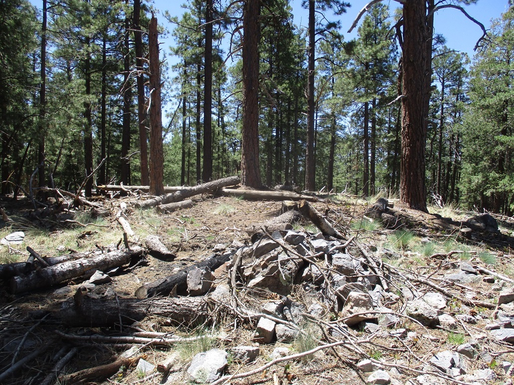
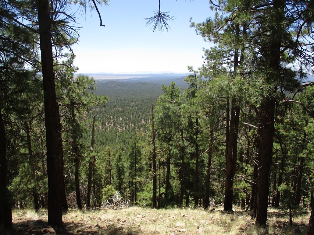
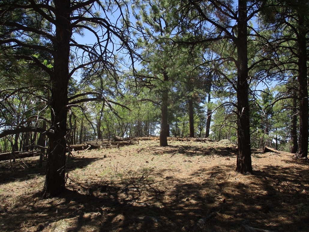
This south summit is forested and rocky, and I tagged its top rock out of a sense of duty. The north summit and the presumed highest point was another hundred yards or so down fifty feet and up a little more. I was there quickly. Views to the north were good, there being a break in the trees. Views elsewhere were completely blocked by trees. I did not stay long, just long enough to take some photos and kick any highest points. I did not find a register.
Going down, I simply went from ribbon to ribbon, untying each one as I exited. This actually worked well because I could just aim for the next one, and there were a couple spots where without the ribbons, I would have had to guess the best line down. Given the steepness, I was concerned about encountering a random cliff or rubble slope. But the ribbons led me out perfectly. I was back to my car, a total time of just over an hour for the hike. The hike had gone well and I was pleased to get this peak into my records. It does not have views, but given its height and prominence, it is a worthy peak to scale.
Along the way, my map must have fallen out of my pocket because I could not locate it. It had a map of the roads surrounding Spring Valley Knoll to the northeast, but without the map, I did not want to waste time trying random roads. So I skipped that peak and took a look at Wright Hill. However, I could not find any way past the homes. I found one let-in gate that I think is on forest land, but it was too close to a home to where I felt uncomfortable messing with it. So I skipped Wright Hill as well. No big deal. I had other peaks on the agenda and a lot of driving ahead of me, so I got back on to Interstate-40 for just a few miles, exiting at Garland Prairie Road to tackle Boxcar Hill next.
Elevation: 7,418 feet
• Prominence: 418 feet
• Distance: 1 mile
• Time: 1 hour
• Gain: 388 feet
• Conditions: Sunny and cool with breezes
PB
•
LoJ
Boxcar Hill lies astride Interstate-40, in that the builders cut into the lowest northern slopes to put in the highway. It would be tempting to park on the eastbound shoulder and run up to the peak, since it's so close (albeit steep) to the highway. But parking along the interstate is not a good idea unless you really have to.
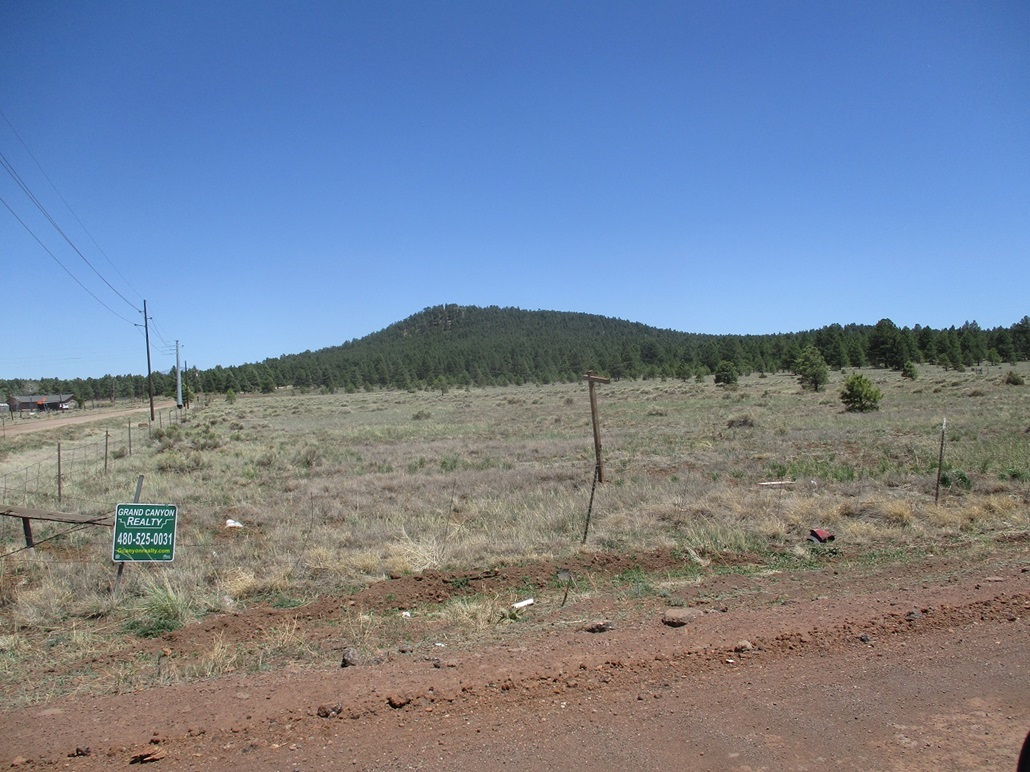
On Garland Prairie Road, I went south. The road is graded dirt and today, they were working on its shoulders with heavy equipment. I only had to go a couple miles, not even that. The road curls around a small hill ("Water Tank" on the map) and on this hill's south side is FR-500, the only obvious road going into the woods. This is a good road that curls around Water Tank Hill, coming to a T-junction. I went right, then shortly, hung a left onto a rougher track (called FR-503 on the maps, but no signs here to tell you that).
I followed FR-503 about a mile. The road was uneven and occasionally rocky, but my Subaru Forester was up to the task, and I parked in a random "open" spot, southeast of the hill. I could not see the hill here, blocked by trees, but I could see the ground sloping up through the forest.
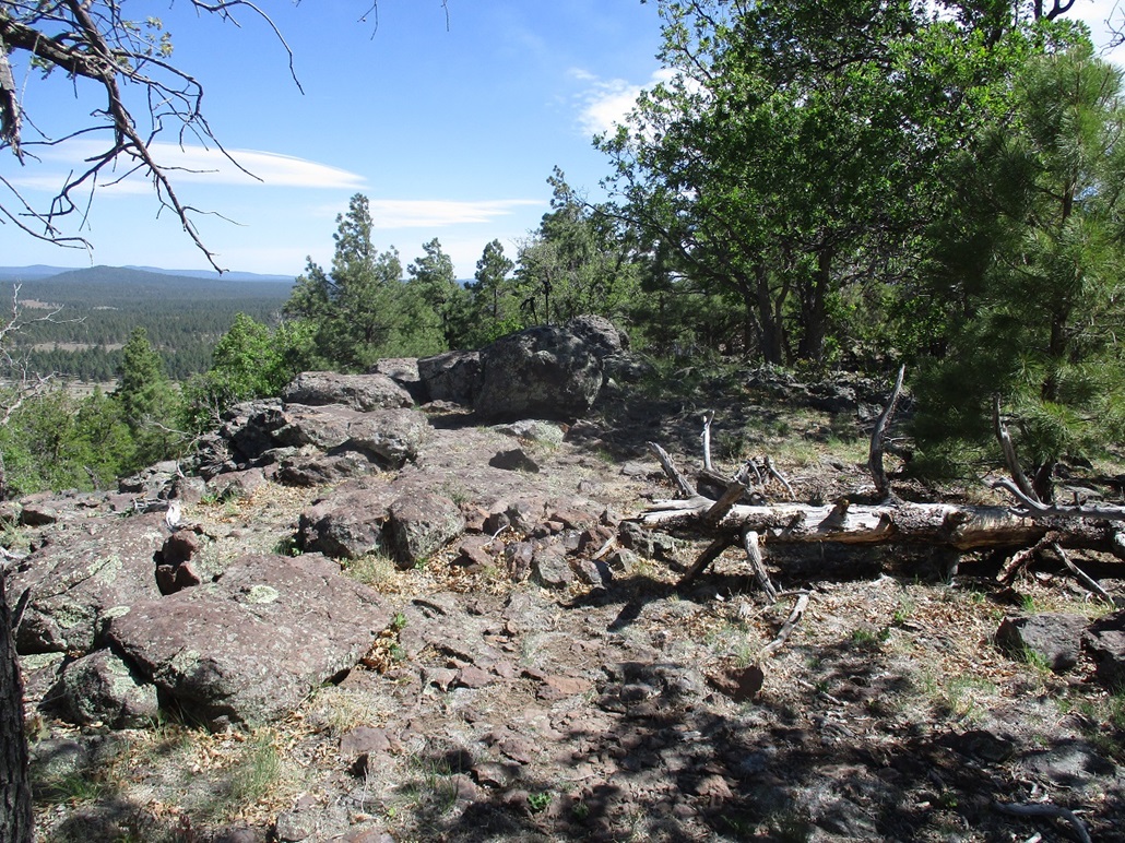
I started walking uphill, just following open lanes, trying to keep a constant bearing but having to alter direction occasionally. The hiking was typical for these hills: a gentle gradient, then steep for a short bit, then gentle again. Now on a ridge, I continued up the ridge to the top, navigation extremely straight-forward. Here, I found a register in a tiny cairn, and signed in. The uphill hike took about 20 minutes. I snapped a couple images, then started back down, arriving back to my car after another 20 minutes.
Pine hill, my next objective, was up next, a few miles to the southeast.
Elevation: 7,332 feet
• Prominence: 392 feet
• Distance: 0.8 mile
• Time: 45 minutes
• Gain: 392 feet
PB
•
LoJ
Back on Garland Prairie Road, I continued southeast about three miles. The road numbers on the forest-service map do not match what's on the plastic markers in the field, so I just followed the roads ignoring the numbers, and everything worked out fine. At least the roads bend and point the right way on the ground, as shown on the map.
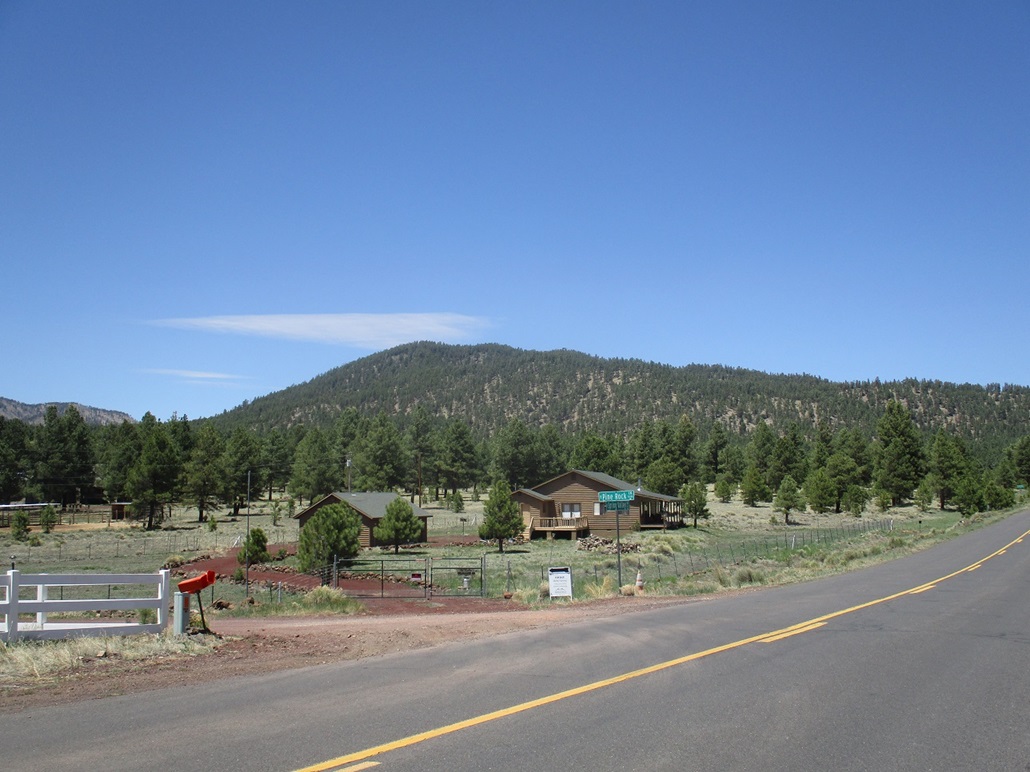
I drove a meager road that circles around Pine Hill to its east side. I was mere feet from a community of nice homes. I parked in the first decent spot I could find, locked up everything and started walking.
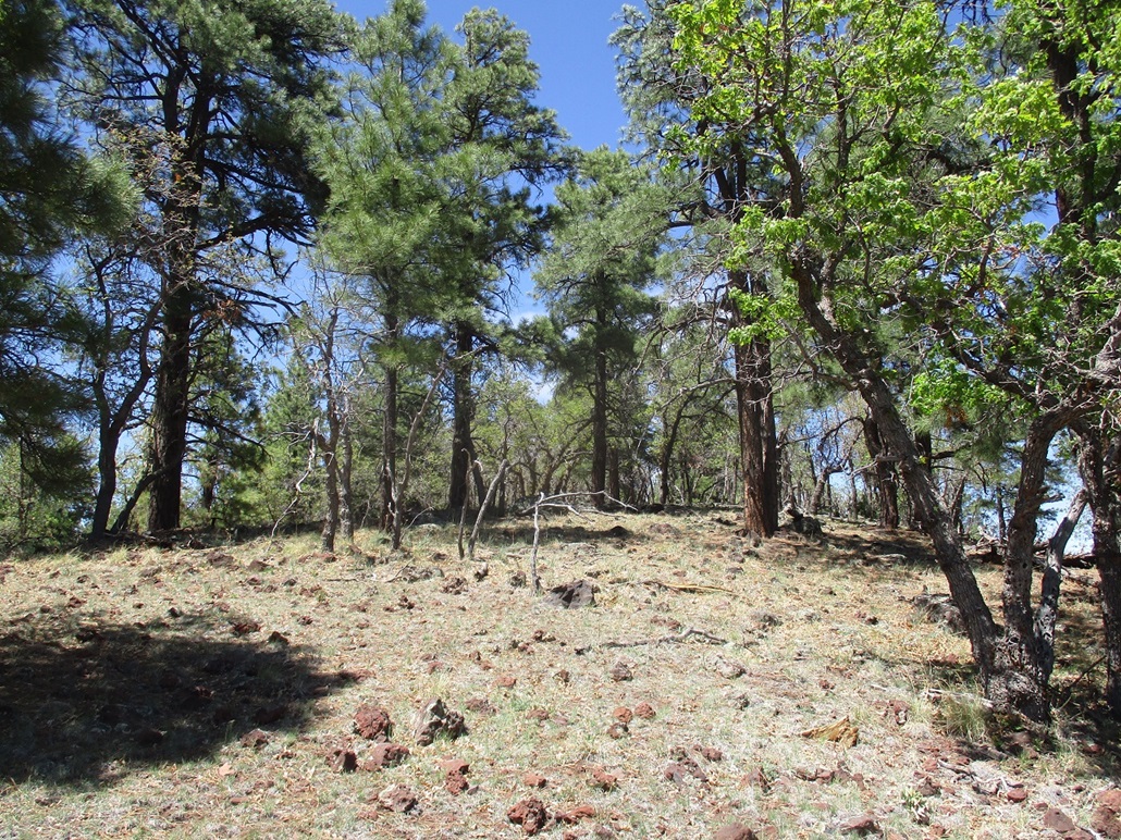
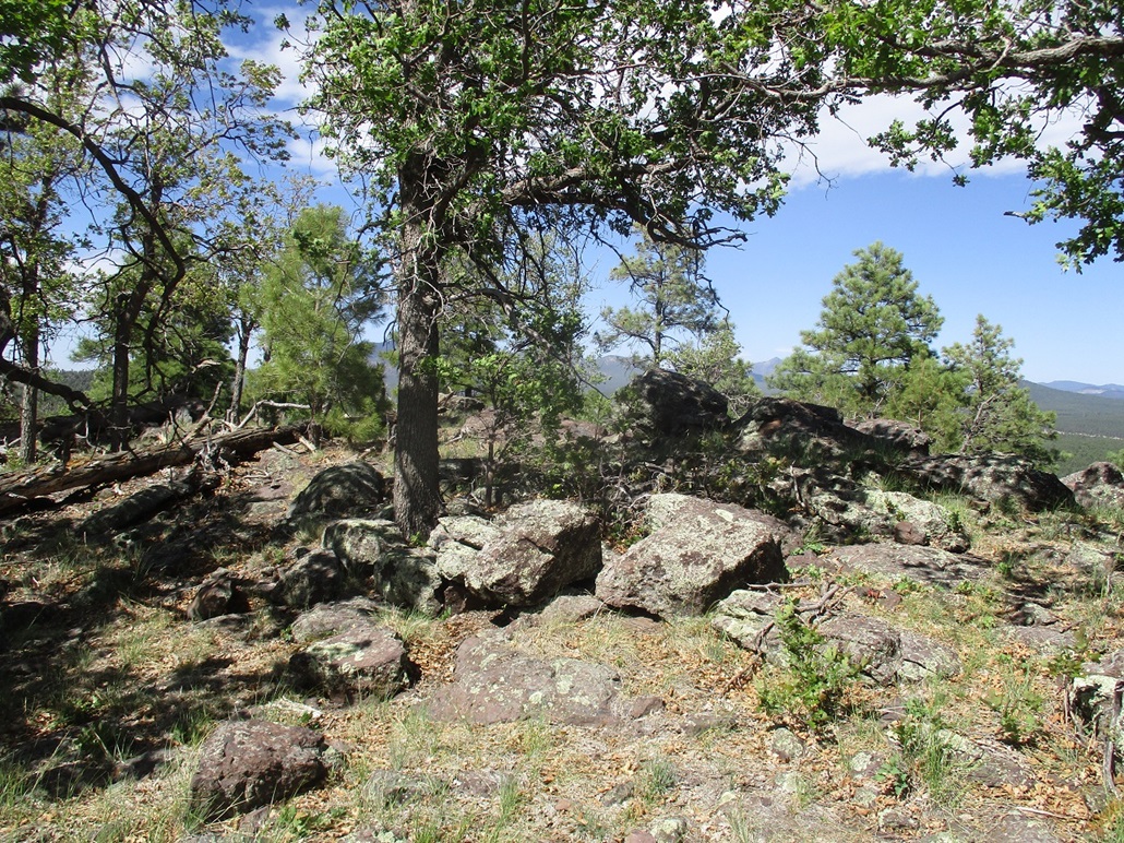
The forest was a little thicker here than on Boxcar, so I had to zig and zag more, but I could usually see a hundred feet ahead, so navigation was not an issue. The ground was rockier too. On the main ridge, the summit was close by, it too full of big boulder piles. The one-way hike took me just 20 minutes, and views from the top were blocked by the trees, so I did not linger.
I hiked down the same way, back to my car in 45 minutes. It was now about 4 p.m., and I was done with the hills for today. I continued westbound on Interstate-40, my eventual goal being Henderson, Nevada, to stay with my father for a week. But I had no intention to drive all that way today. Instead, I drove to Seligman, about 50 miles west, and stayed the night, my first overnight stay in Seligman.
Seligman is famous for its homage to old Route 66. The town only has about 600 people, but has many cool retro hotels and restaurants, all with a Route-66 theme. The hotel I stayed at, the Canyon Lodge, has theme rooms (I stayed in the Elvis room) and is owned and run by a German man who moved here about 15 years ago. He was fascinating, and recommended a cafe down the street, Lilo's, that serves the usual American options along with a few German entrees. So I had Schnitzel and it was good. The hotel owner explained that the town was named for a German settler, hence the strong German influences.
The next day, I drove old Route-66 through Peach Springs and into Kingman, then "new" Route-93 to the Hoover Dam bridge and into Nevada. The day was uncommonly cool, highs only in the 60s but very windy, with gusts up to 50 miles per hour. I arrived into Nevada about noon and with time to kill and the cool weather, I chose to hike Tortoise Shell Peak now, not tomorrow as I had planned.
|


|