The Mountains of Arizona
www.surgent.net |
|
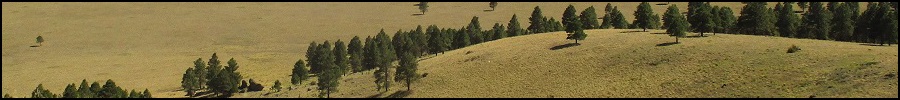
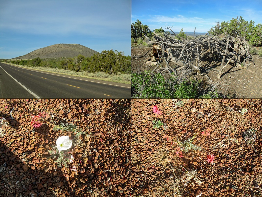
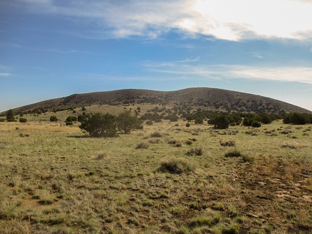
Cochrane Hill • Junction Crater I was picking off volcanic mounds east of Flagstaff, on the east fringe of the San Francisco Volcanic Field. I started and ended the day with hikes up the Sheba Craters, and in between, visited the summits of Cochrane Hill and Junction Crater, both located nearby one another along Leupp Road.
Date: May 9, 2020
• Elevation: 6,954 feet
• Prominence: 827 feet
• Distance: 2 miles
• Time: 1 hour
• Gain: 790 feet
• Conditions: Clear, sunny and warming up
Arizona
•
Main
•
PB
•
LoJ
•
Interactive map
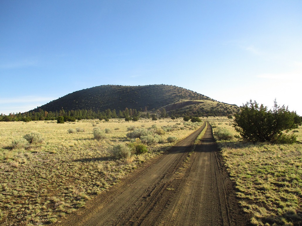
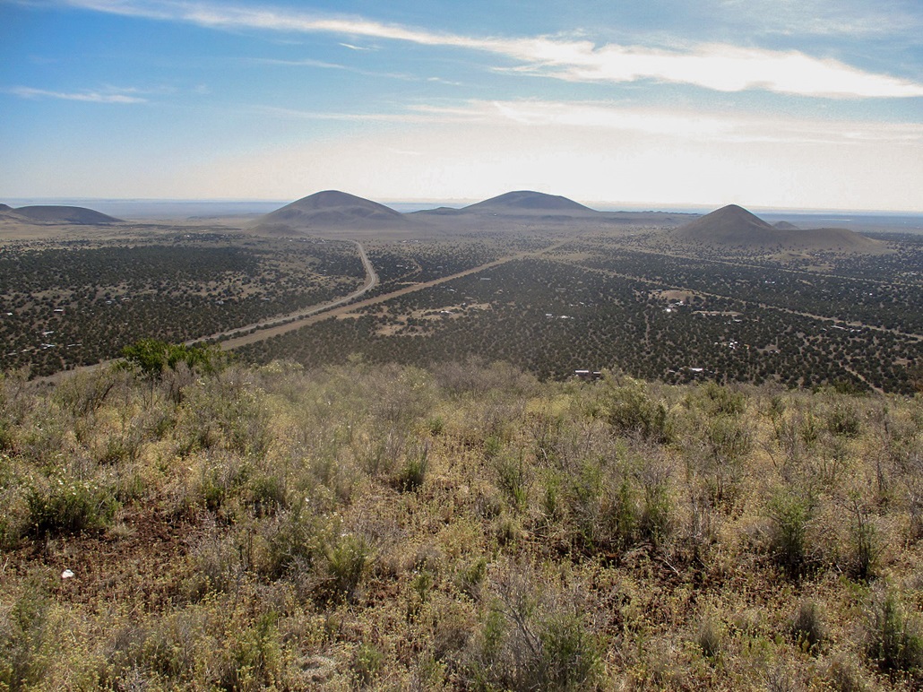
I had just hiked North Sheba Crater, and it was still early, a little before 7 in the morning. I had a handful of cinder hills along Leupp Road on my agenda, and it did not really matter the order I climbed them. While it would make sense to visit the hills by proximity, other factors had to be considered. Cochrane Hill has a shooter's area in an old cinder pit mine on the south slope of the hill. I wanted to hike it before the shooters would rouse from their hangovers and drive out to do their thing. It was still early enough to afford me a good probability of having the hill all to myself.
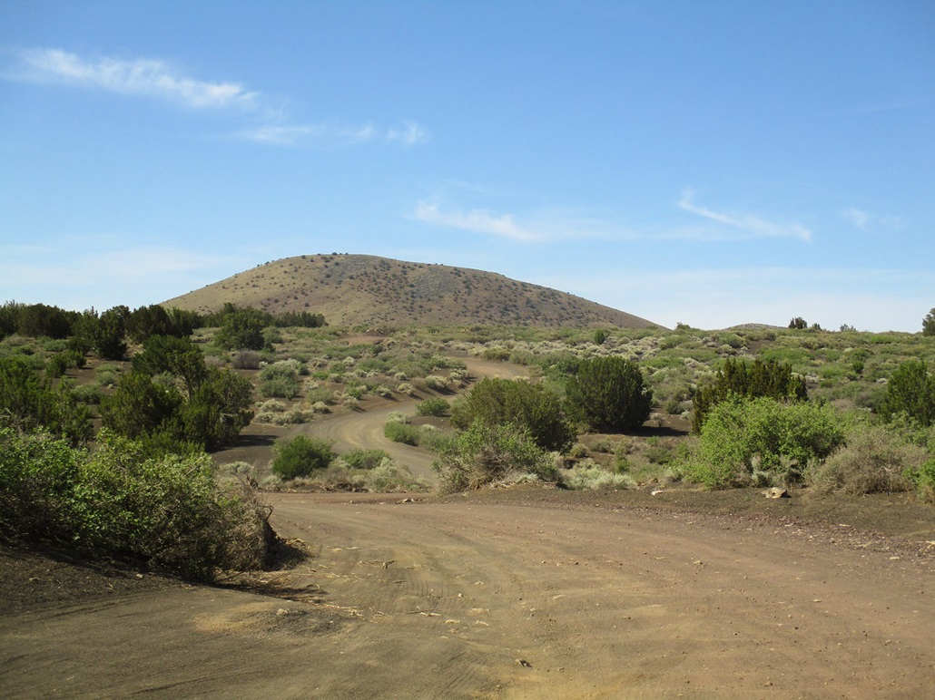
From North Sheba, I drove west on Leupp Road about ten miles until I was slightly southwest of the hill, then eased onto Coconino Forest Road 9146Q, which angles right. It crosses over the gas line track, then enters into the turnaround at the cinder pit. It was still early, about 7 a.m., and I was pleased to see it vacant. I parked in a copse of trees south of the cinder pit. The trees were most notable --- North Sheba was completely bare of any trees, while here, the trees were more abundant, mainly mid-sized pinons and junipers with a handful of larger ponderosa.
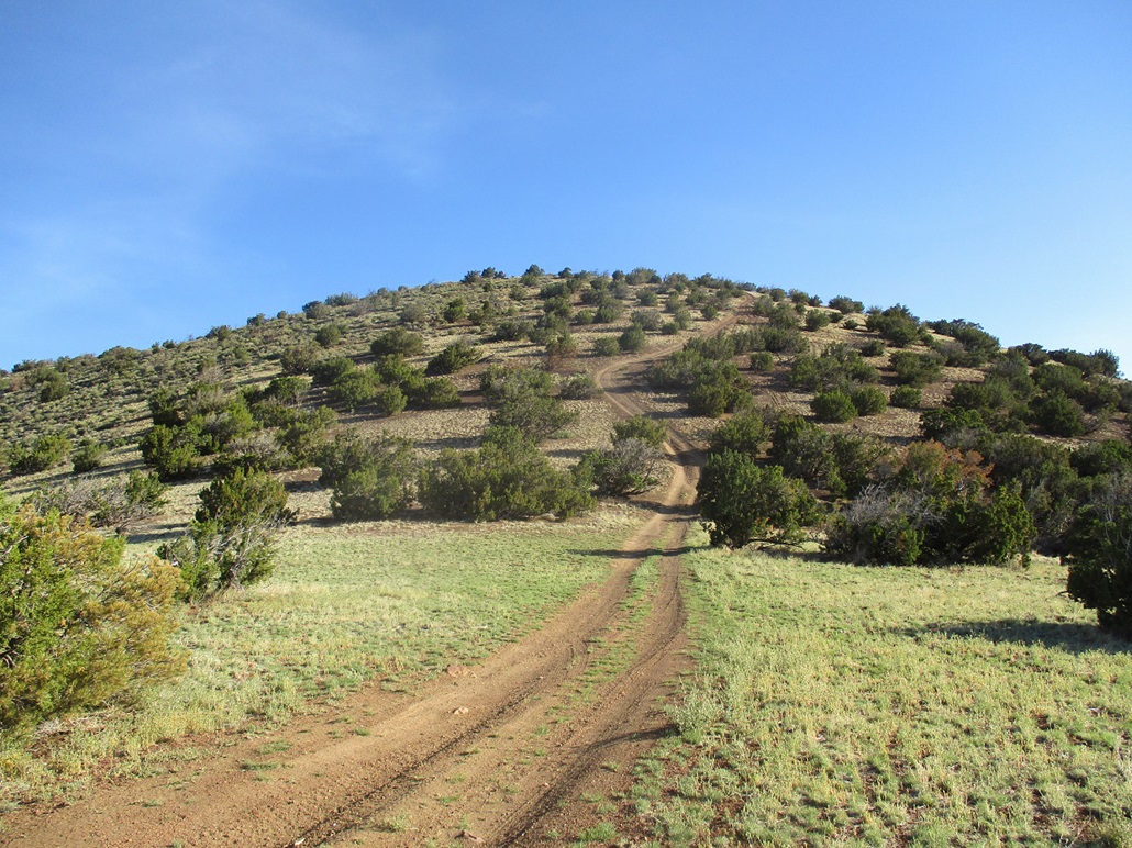
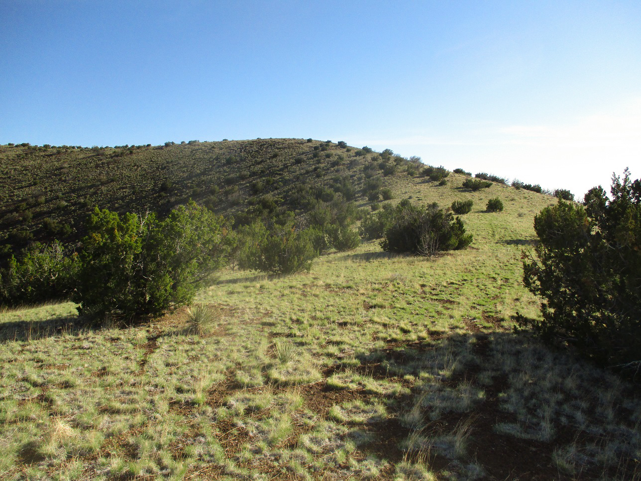
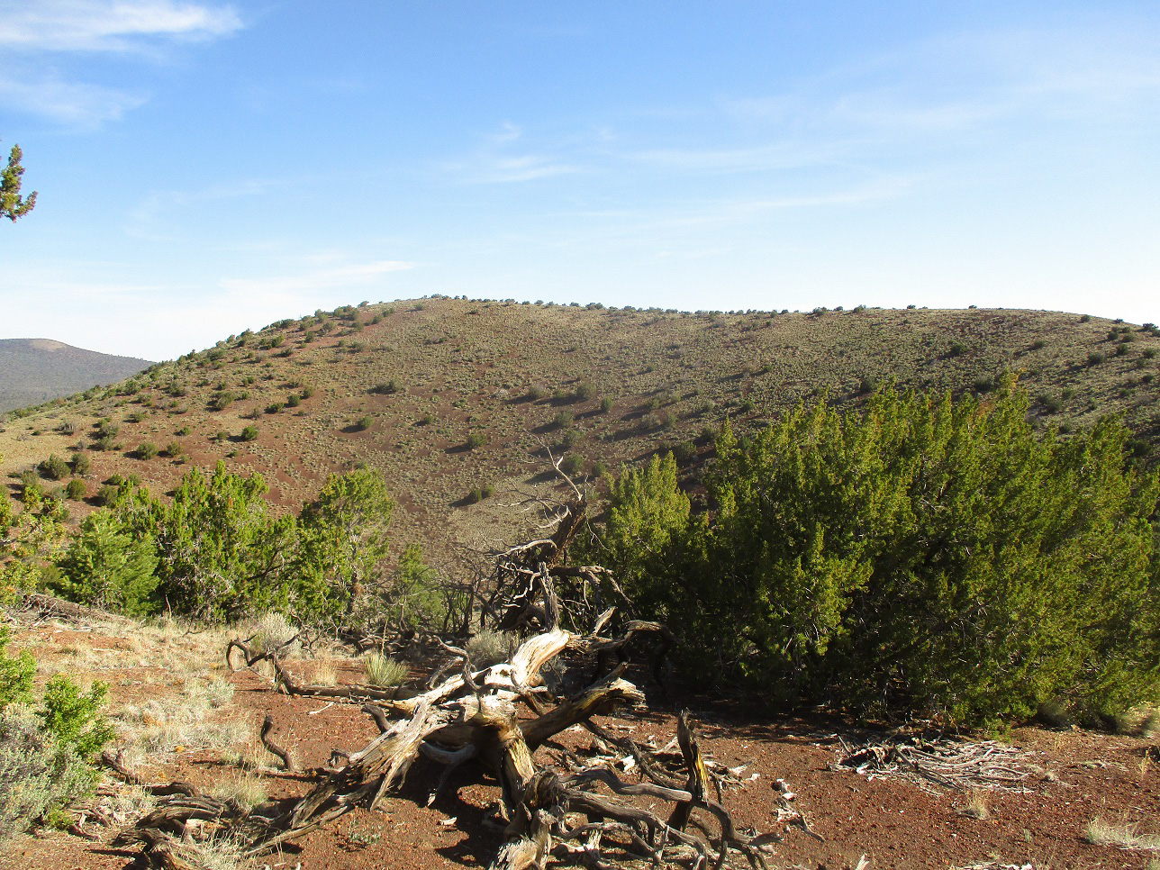
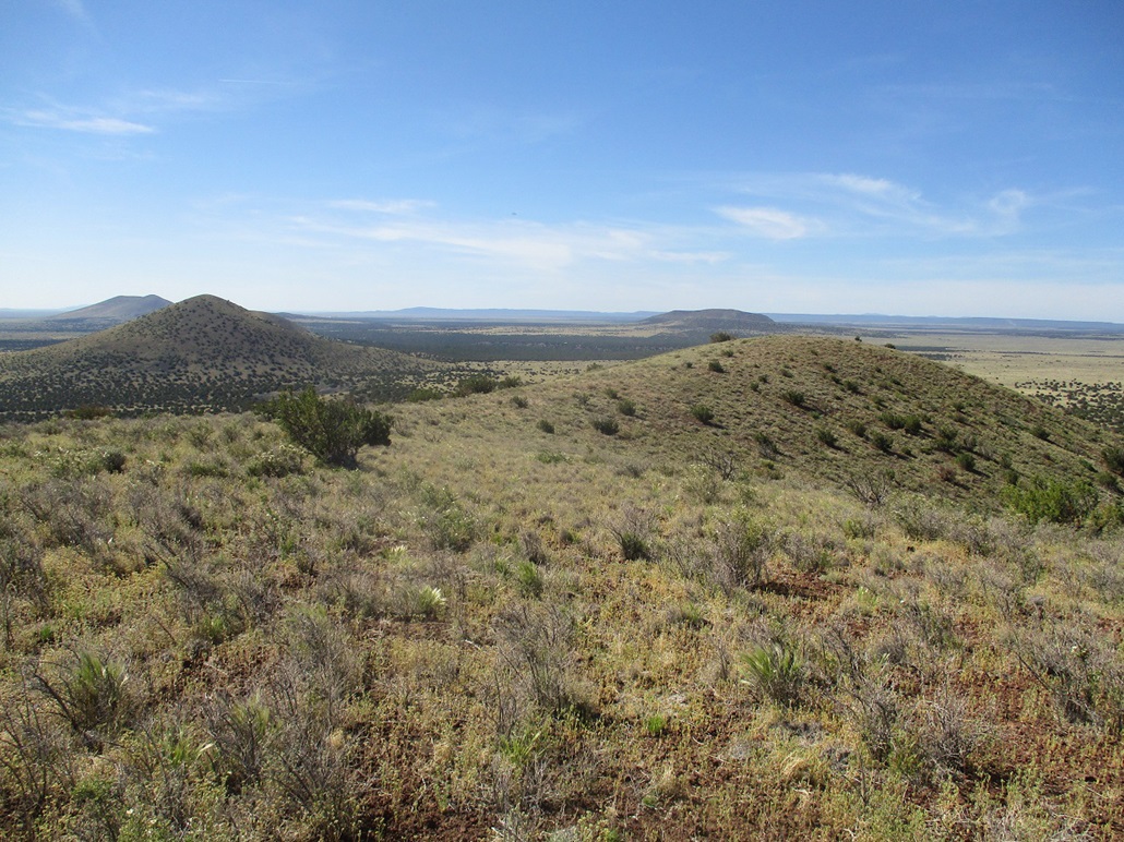
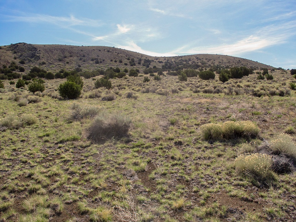
I walked up a rough track to gain a small hill, the southern buttress of Cochrane Hill. I was above the cinder pit. Here, the hill was grassy with a few small trees, and very pretty. Up ahead, the road meets the base of the main body of the hill and becomes very steep. I labored up this segment, which wasn't difficult, but loose. Each step up came with about a foot of back-sliding. I was soon on top, at the south end of the crater rim. The road goes left, while the highest point is to the right, pretty much directly across from where I stood.
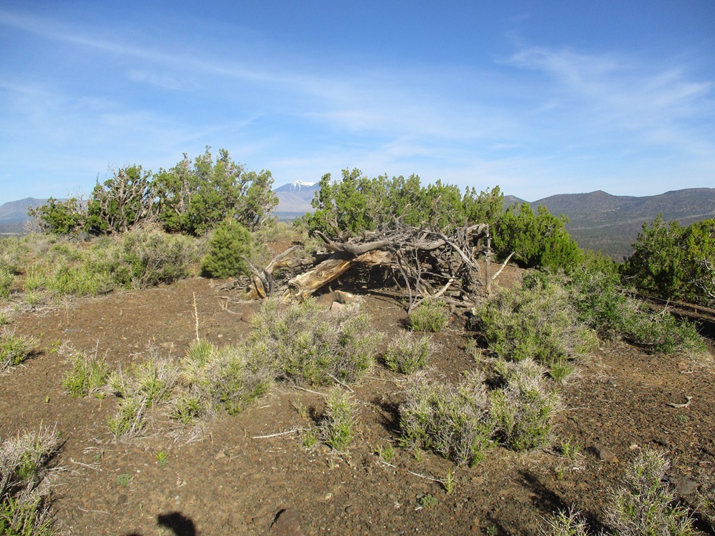
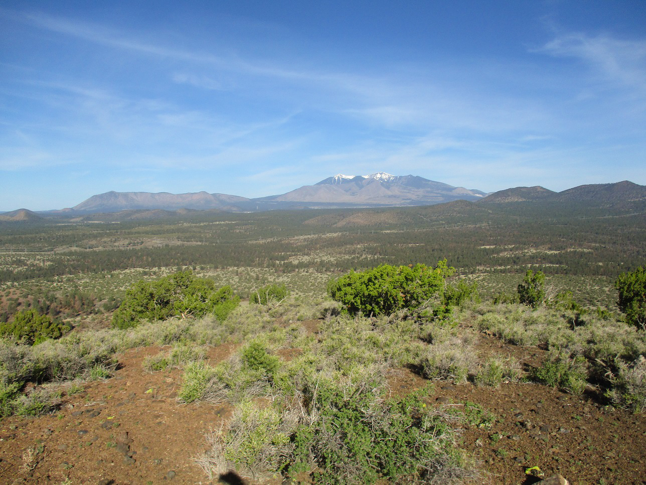
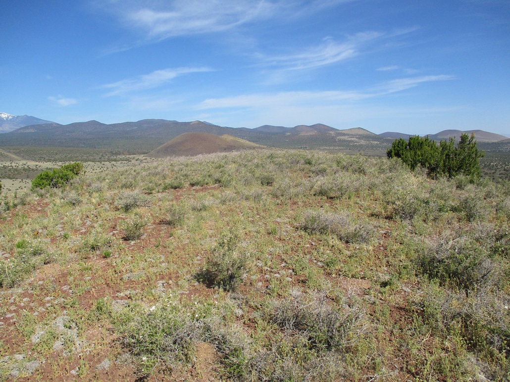
I left the road and hiked through low grass and open terrain, with a few small trees here and there. The grass held the rubble together well and the slopes were lenient. I made good time and came upon the summit about 40 minutes after starting. I had great views of the the surrounding cinder hills, plus Humphreys Peak to the west. The top features an interesting "shelter" made of dead branches, and at the very highpoint itself, a mound of twigs in a bush, probably a packrat midden.
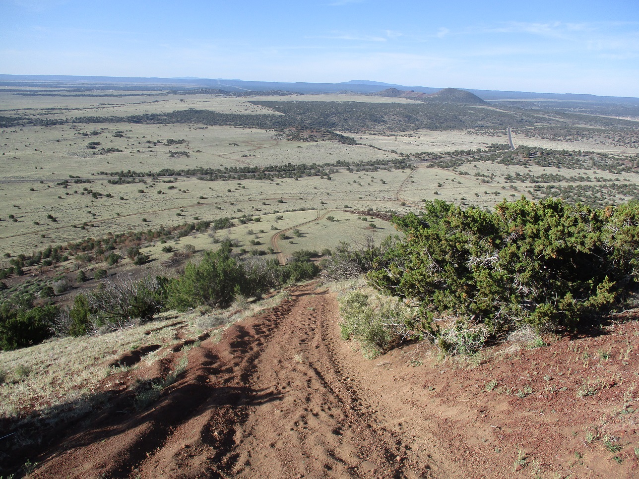
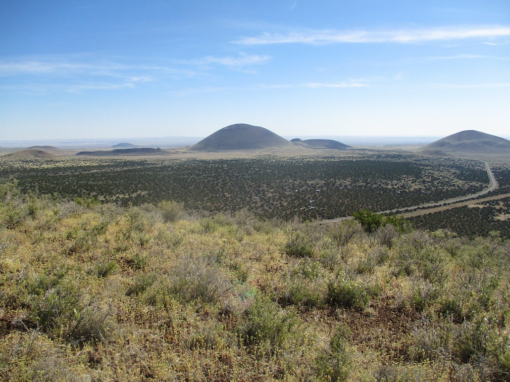
I stuck around the top for a few minutes. It was sunny and warm but pleasant with a breeze. I studied the other ridges and chose to descend downslope to the west, onto a ridge that forms the north rim of the main crater. There is a lesser crater to the north (my right) as well. I dropped about 150 feet, then scampered up about a hundred feet to the west crater rim and back onto the road. Someone had been here recently as the footprints looked fresh. However, today it was just me for the time being.
I walked the road back to where it drops down off the rim, then carefully scooted down the steep, rubbly road. This one was not easy as the rubble tended to slide under more, rather than "hold" my foot and let me glide along. I had to move slowly and use my poles as crutches, but I was soon down and back to my car, the time a little after 8 a.m.. No one had shown up and the place was quiet and serene. I was pleased to hike the peak and have no issues with others being in the area. This is a lovely hill with great views and an opportunity to circumnavigate an easy crater rim. There were small groupings of wildflowers along the hike, too.
Now I had to decide my next move. I had maps for hills closer in to Flagstaff, but I was more keen to stay in this area. A couple miles to the east was a long hill that looked interesting. It was not on my original agenda, but it looked easy to get to and easy to scale. The drive was quick and I was there in about ten minutes. I had no map but would not need one, as everything was easily visible.
Elevation: 6,319 feet
• Prominence: 339 feet
• Distance: 1.2 miles
• Time: 1 hour
• Gain: 450 feet
• Conditions: Sunny and warm
PB
•
LoJ
Junction Crater lies south of Leupp Road, at the east boundary of the Coconino National Forest. I had not brought along a map for it, as it was not on my primary agenda. However, it was still early (not yet 9 a.m.) and the hill was right there ... I could not resist. I drove in on Forest Road 504, going in about a mile and inspecting possible ways up. I drove back out and parked in a small pullout shielded by pinon. I was just a couple hundred feet from the main road, but well hidden.
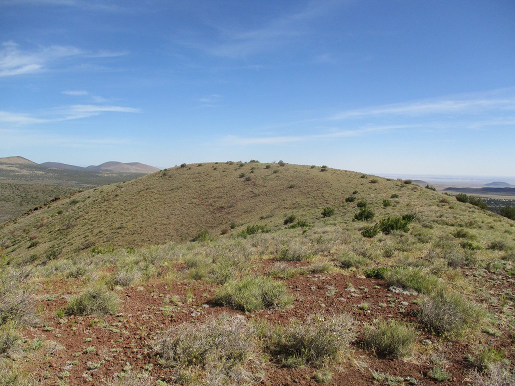
I started walking, heading east, the slope already trending uphill. I had mostly low grass and scrub, and a handful of trees. This is about as far east as the trees get. On the east side of Junction Crater, there's nothing taller than a couple feet. I just hiked uphill, things getting a little rubbly as the slope steepened. But it was a fast hike. I was soon atop the ridge. I turned south and walked up to the flat summit.
The top was a little brushy, the shin-high slightly-woody stuff that I don't know what it's called. I found a rockpile that I took to be the top, and walked around to be sure. The hill is longer than most crater mounds here, and the south lobe looked lower, but I walked over to it just to be sure.
I dropped about thirty feet and up about ten to the south lobe. It was definitely lower. But it allowed me some good vantage points for photographs. Rather than repeat my route for the hike out, I just dropped off the slopes and jog-walked down the slopes onto the flats, then back to my car.
This hike went fast, just over a mile round trip and a little less than an hour. I was in no hurry so I studied my maps a little and headed over to Maroon Crater across Leupp Road. I had no luck with that one, so I drove east and took a look at South Sheba Crater. Would I be successful?
|


|