
The Mountains of Arizona
www.surgent.net |
|
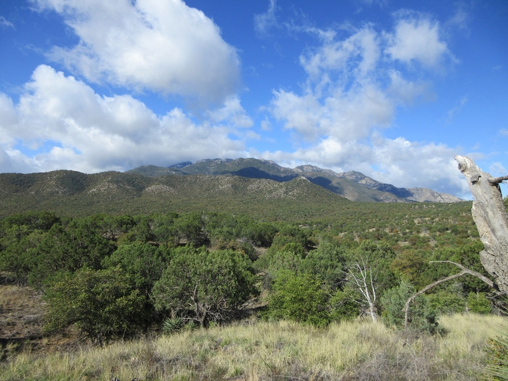
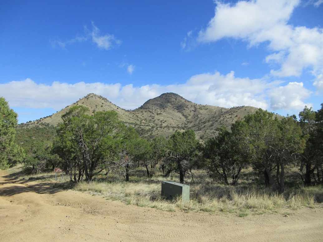
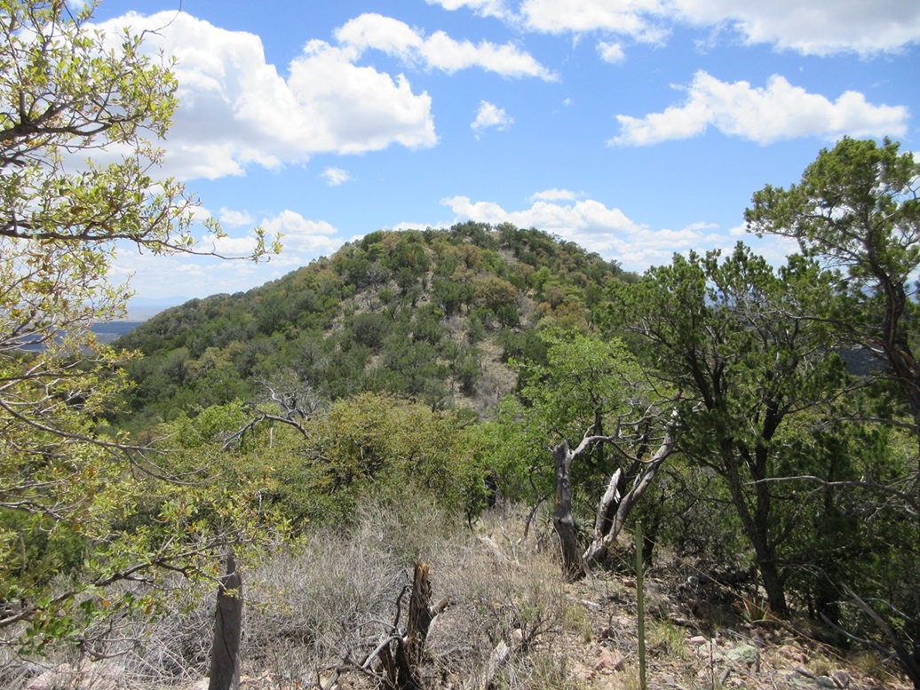
Castle Dome • Peak 6354 Castle Dome is a peak rising by itself in the northern Santa Rita Mountains. It's a double-humped peak, the highpoint being the north summit, set apart by a couple of miles from the lower foothills of the main mass of the Santa Rita range. For reference, it rises south of Peak 6311 "Weigles Ridge Highpoint" by about five miles. Things are warming up in the deserts, with temperatures hitting 100° for the first time earlier in the week. In Bisbee, daytime highs were in the low 80s, which is lovely, but the warm weather everywhere means the snakes will be active, and the bees moreso than usual. Hiking in heavy brush or grass when it's warm is asking for trouble. However, the state would see a short cool-down period of a couple days, where highs in southeast Arizona would be in the low 70s. I used this opportunity to hike a peak I probably would have saved until Fall. I homed in on Castle Dome, and then for a bonus, an unnamed ridge highpoint to the south. It looked like a lot of hiking but mainly on roads and trails, and just a short amount of off-trail effort.
Date: April 27, 2024
• Elevation: 6,635 feet
• Prominence: 835 feet
• Distance: 7.1 miles
• Time: 5 hours, 10 minutes for the whole hike
• Gain: 1,435 feet (gross)
• Conditions: Sunny with puffy clouds, cool
• Wildlife: Javelina
Arizona
•
Main
•
PB
•
LoJ
I left home at 6:20 a.m. and followed AZ-90 into Sierra Vista, stopping at the Valero I always stop at, for gas and for snacks. Back on the road, I followed AZ-90 northbound to Whetstone, then AZ-82 west to Sonoita, then AZ-83 north to the Madera Canyon Road (Coronado Forest Road 62, also signed as Greaterville Road). This is the same way I went when I hiked Peak 6311 in December.
On that hike, I also hiked Granite Mountain, which gave me a chance to drive a couple other forest roads, FR-229 and FR-165, so I had some sense of the road conditions and how far in I should be able to drive before beginning the hike. I was able to drive FR-165 to the old Morning Star Mine site, the road to here being decent, with some rocks and one steep segment, but nothing the Subaru couldn't handle.
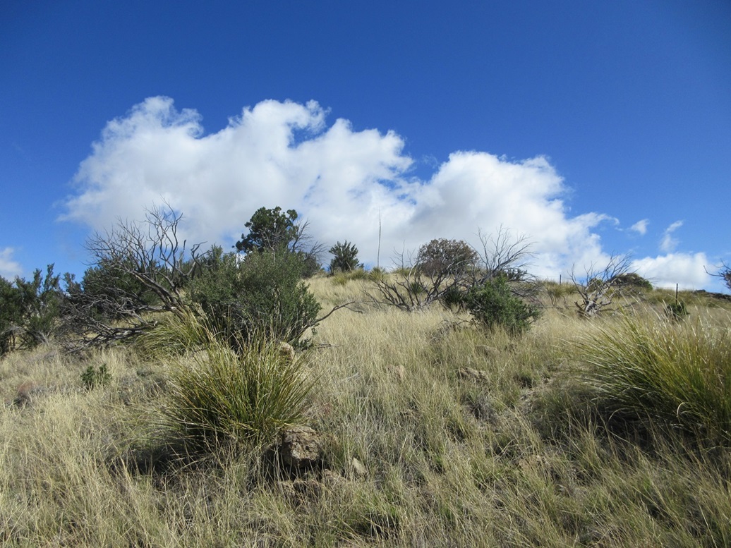
I got my stuff together and started walking at 7:55 a.m.. The conditions were very mild, temperatures for now in the low 50s. The sky was full of low puffy clouds, but nothing substantive and there being no chance of rain. These appeared to be the fringe of whatever weather disturbance had passed through to drop the temperatures. It was very pretty.
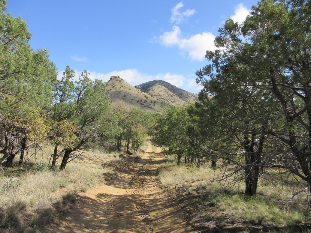
The first two miles follows FR-165 westbound. For the first mile, the road is tucked in between the hills in what the maps call Ophir Gulch. The road would gain then lose about twenty or thirty feet over and over again. About five minutes into my walk, I saw a big fat javelina sow walk across the road followed by its baby. I banged my sticks. The mama just kept walking, but the baby skittered back from where it came. The mama javelina was one of the biggest I've seen and I wanted no part of it, so I bided my time until I was certain they had moved on.
The road starts to gain elevation and emerge from the gulch onto higher terrain. The road itself was generally pretty good. It got a little rubbly and narrow within the gulch, but I think if I had been careful, I could have eased the Forester up this road. Any vehicle with higher clearance and good tires would have no problem. This assumes dry conditions. There are some communication towers on a ridge ahead, which probably explains why this road is maintained.
In a little over two miles, I had come to its intersection with FR-4041. This track goes northwest before bending back and cutting below Peak 6347, the lower summit south of Castle Dome. FR-4041 is very rutted and uneven, and would be a challenge even for Jeeps. I walked the road, following it up and around to the peak's east slopes. This track ends at the saddle connecting Castle Dome and its southern subsidiary.
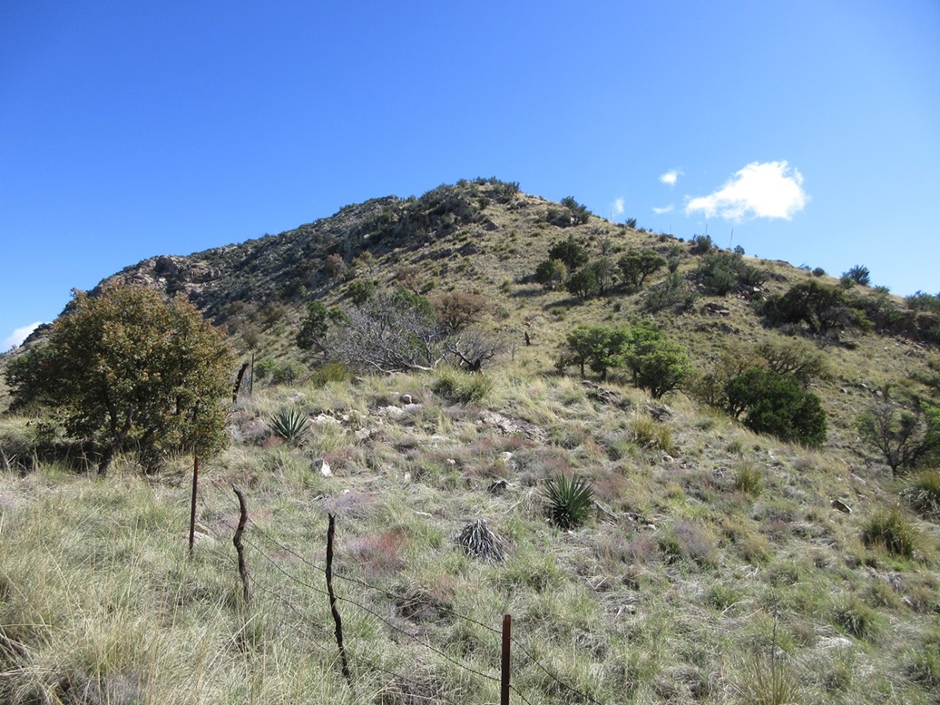
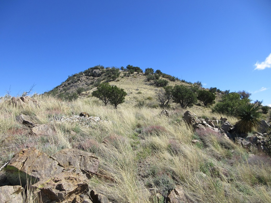
I still had about 600 feet to gain to get to the top. As usual, from a distance, it all looks steep and messy, but once up close, the slopes lay back and I even found a solid path, which I followed upward. The steepest portion of this climb is the first couple hundred feet above the saddle. I kept to the path, which grew weak in the grass. The climbing was steep and the rocks sometimes loose, but it wasn't difficult. This led me to a small rock outcrop, above which the gradient eased up considerably.
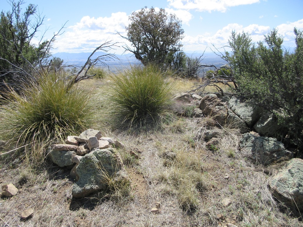
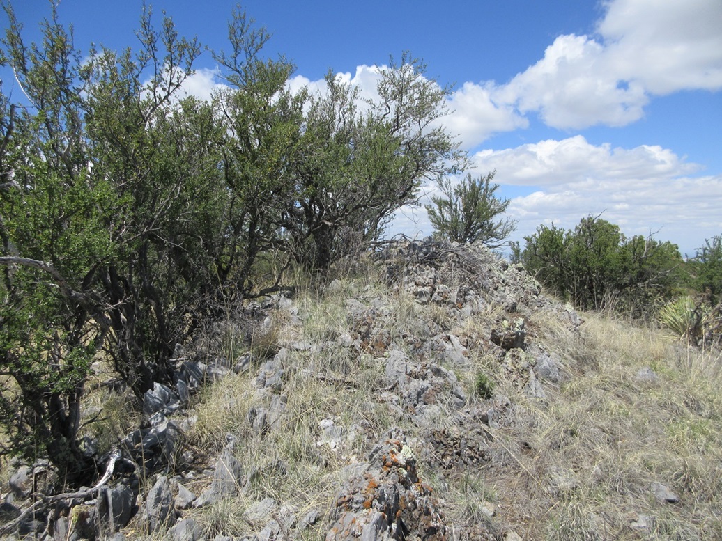
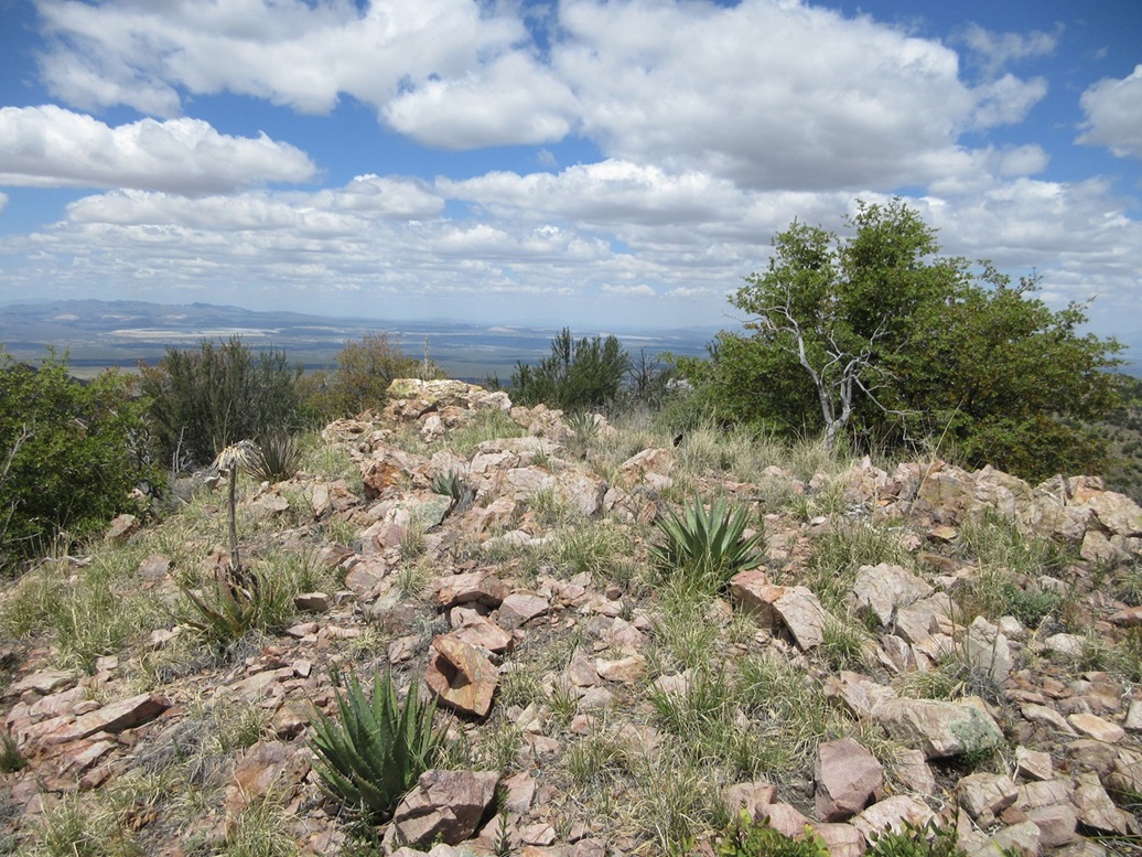
I was able to re-find the path, which was more distinct now. It led up one more moderately-steep slope to another rock outcrop. Once above that, then grade lessened even more and I knew I was on the home stretch. The path weakened again but it wasn't necessary. I followed paths and open terrain (mostly grass) to the summit. Just to be sure, I continued north a little more to another high area, but looking back, where I had just been was definitively the highest point.
I walked back to the summit rocks and sat down. I found the register and signed in. The older register booklet went back to the 1990s but was still in good shape. A newer "register" of lined yellow paper had some names on it too. This is really poor etiquette. If the current register is fine, leave it alone. Don't cram a dozen sheets of paper into the register needlessly. I detached those with names and left them in the register bottle, and removed the rest. The Southern Arizona Hiking Club comes here often. I recognized many names overall. Some people had been here in the last month, so this peak probably sees a handful of summit teams a year.
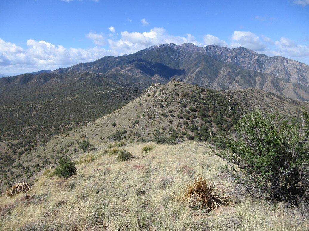
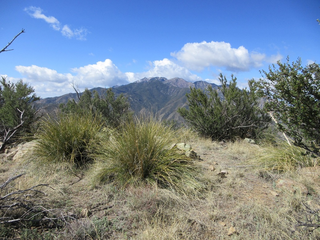
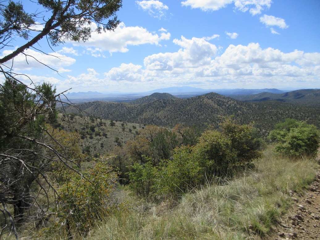
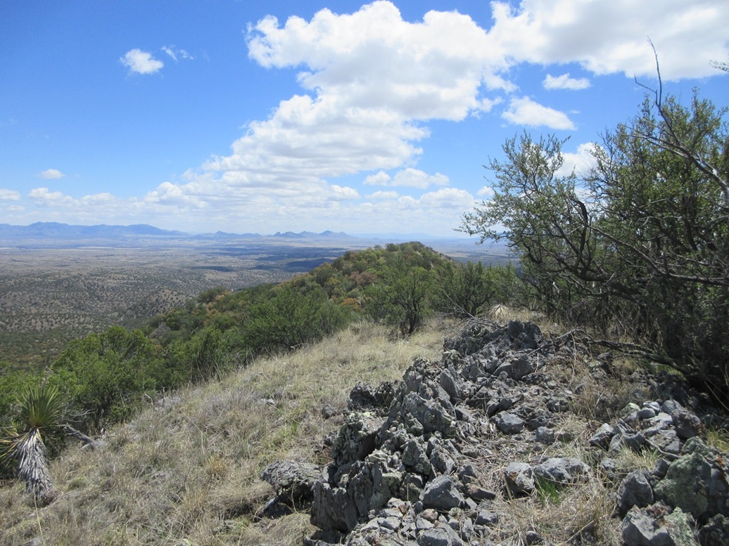
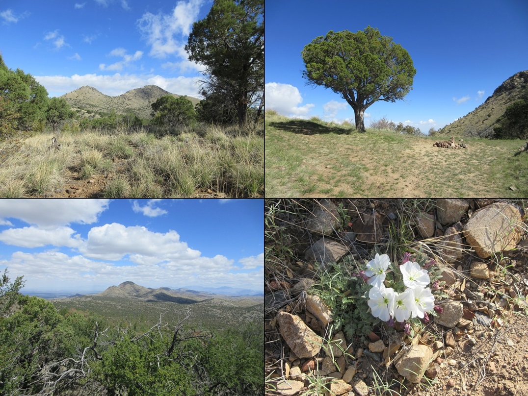
The views were very good. You get the full mass of the main Santa Rita Mountains to the southwest. The clouds were crowding the highest ridges, and there was still some remnant snow on the highest peaks. The views west and to the southeast were also good, the low clouds making for some interesting effects (and sometimes dulling the sunlight). Views to the north were just of the nearby trees. To here, I had covered 3.5 miles one way, and I was surprised that it had taken me just 90 minutes. I spent about ten minutes up top.
Going down, I stayed on the tracks as best as I could. The lowest and steepest slope was a little dicey. I found myself sidehilling on some steep terrain with a long runout, so I had to figure out what I had done wrong. I was able to find the path by going uphill about ten feet. At least the path seemed a little more solid. Once on the road, it was an easy walk back to FR-165.
Elevation: 6,354 feet
• Prominence: 414 feet
• Distance: 3.6 miles
• Gain: 834 feet (gross)
• Conditions: same
PB
•
LoJ
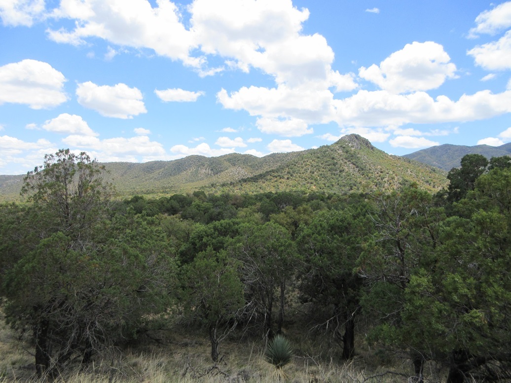
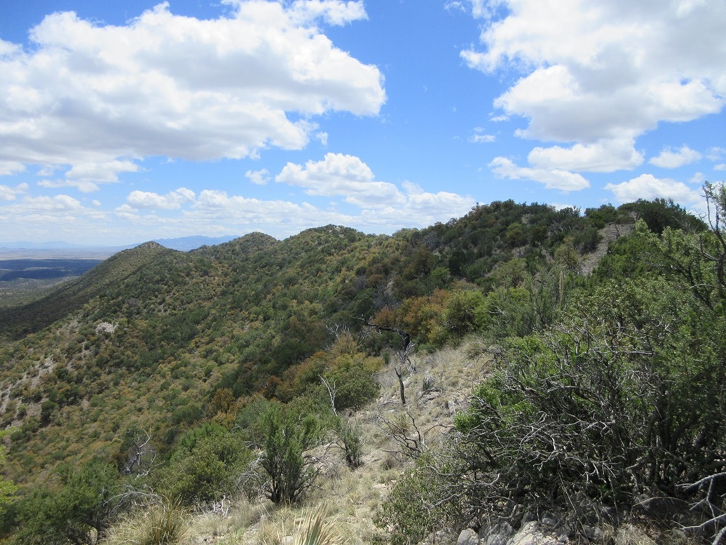
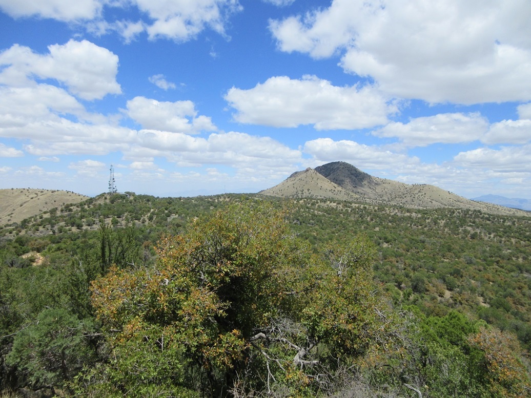
Next up was Peak 6354, which is the highest point along a ridge about a mile to the south, the most notable feature being a rounded rocky summit at the ridge's west tip. The highest point, Peak 6354, lies about a mile east of this rocky summit, about 60 feet higher, but from a distance, a couple other ridge points look about as equally high.
I walked FR-165 past the communications towers, staying on FR-165 as it hung a left and dropped a little, before it ends at the Greaterville Trailhead (Trail 79). I stopped for another quick rest in the shade of a big juniper right at the trailhead.
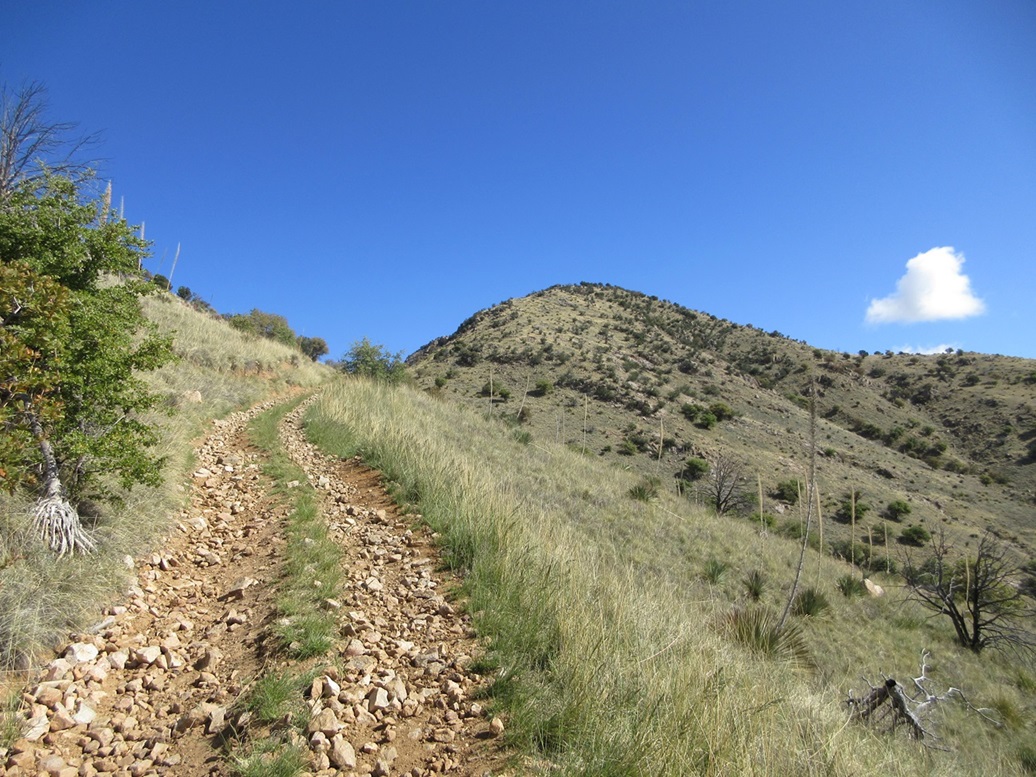
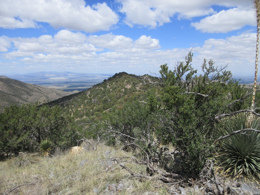
Now on the trail, it gains steeply and makes a couple switchbacks, then aims for the first saddle up ahead, where a fenceline blocks access to the saddle. The trail angles left and begins about a quarter-mile mostly-level traverse below the ridge bumps. The trail itself was good and easy to follow, but in a couple spots, the slope below was very steep and had I fallen, I could go down a couple hundred feet with no chance to arrest. The trail offered just the barest amount of reassurance. I took these little segments slowly. Had there been no trail here, sidehilling these slopes would have been dangerous and unwise. I wondered why the trail wasn't just placed atop the ridge.
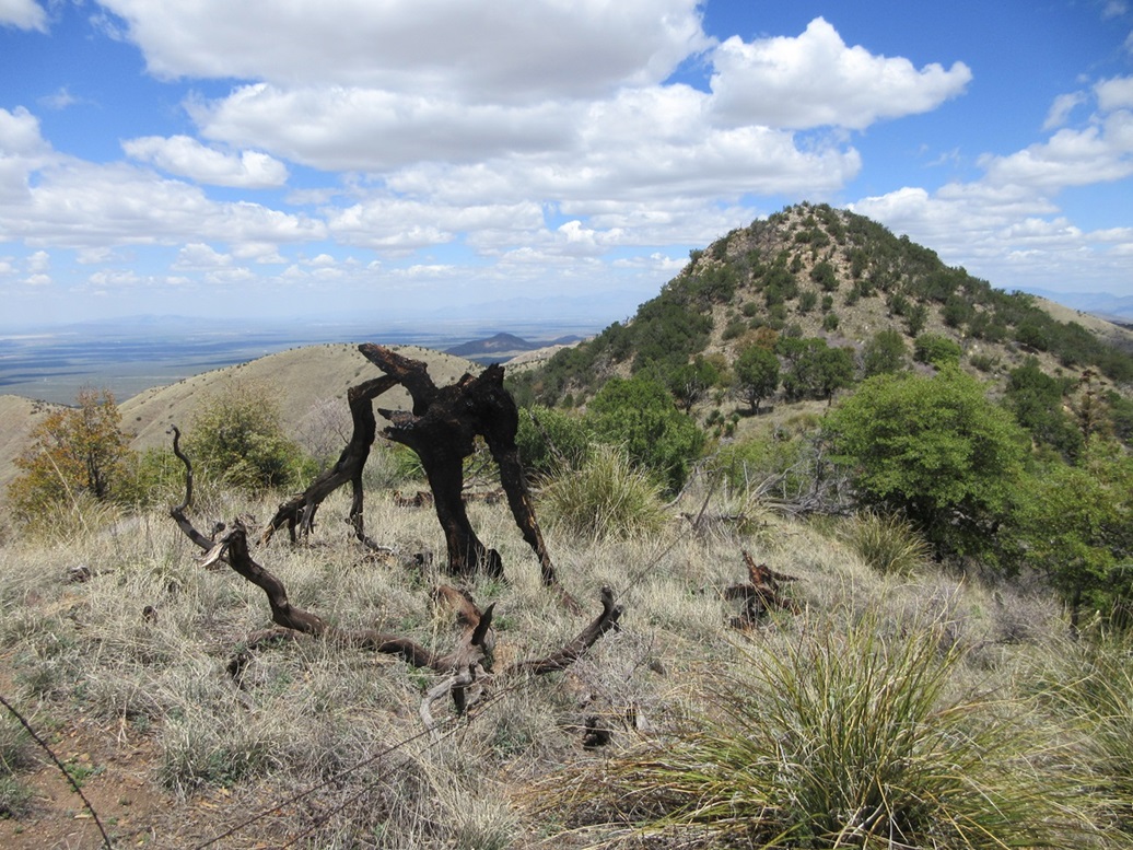
The trail soon makes a bend and surmounts the ridge in a saddle between Peak 6354, and an unnamed and un-numbered peak to its west, the summit inside a 6,320-foot contour. For references, I call this second peak Peak 6320+.
I followed a path up Peak 6354, but the path soon ended. The same fenceline mentioned earlier runs along the ridge and I followed it as well. The brush was sometimes thick, and the tree branches often intertangled so pushing through them took effort and some cussing. But it was more open than not. I was soon near the summit. The fence actually runs a little north of the summit, and naturally, is very solid and taut here, whereas down below there were many spots where I could have crossed. So I had to get on my butt and ease under the lowest strand. Then it was just an easy ten feet to gain the top, which is rocky with some trees.
Another 6,320-foot contour rises east, but it is clearly lower just by visual inspection. I didn't stop here, just kicking whatever rocks looked highest. I did not find a cairn or register, but I did not look very hard either.
I descended down the slope and looked over at Peak 6320+ to the west. It sure looked equally as high. Andy Martin sighted it on his visit a few years ago and said it is lower and I believe him, but it looked pretty darn close. I descended back to the saddle. I decided I would climb this second bump. I would eventually descend back to the first saddle mentioned earlier, and avoid the trail I didn't like very much.
The slopes here were much brushier and I moved slowly. I crossed and recrossed the fence many times whenever it seemed advantageous to do so. I also had to deal with some large rock outcrops along this ridge. After about fifteen minutes, I was on top, which was open with a small rockpile. This assured me that I successfully climbed Peak 6354, which really means nothing but I felt good about it.
I continued down the western slopes and just dealt with the closed-in branches, the rocks and the fence. One rockpile required me to use hands to scoot down about eight feet of a rocky chute. I had some thick brush lower down, then finally, back on the trail. This second peaklet added about a half hour to my hike but not much distance.
I walked down the trail back to the road and just kept walking. I was soon past FR-4041, and took a break at the first good sitting rock I could find. This last bushwhack had tired me and also made me thirsty. From the FR-165/4041 junction, the online distance calculator gives a figure of 1.8 miles to the summit of Peak 6354. By now, I had covered about eight miles. I was feeling good but tired.
The walk out FR-165 to my car took a half hour, covering two miles. I did not see any more wildlife and interestingly, never saw another person. On my visit here in December, there were lots of people on these roads. I never saw a soul today. I was back to my car at 1:10 p.m., a five-hour and ten-minute round trip hike covering just under 11 miles overall.
This had been a great hike, and perfect given the time of year and the conditions. The views from atop Castle Dome were superb, and even some views from on and near Peak 6354 were exceptional. I got changed and then drove back out. I had some excitement on AZ-82 between Sonoita and Whetstone. Cars coming my way kept doing the double light flicker with their headlights, which usually means there's a cop up ahead. But in my rear view mirror about a half mile behind me was a fire truck. Then I saw why: there was a brush fire alongside the highway! I could see the smoke. It must have just started because cars were still on the highway and no one had shut it down yet. I drove through it and for about a hundred feet, had almost zero visibility with the thick smoke. It was heavy, and once past it, I could smell it on my clothes and seat fabric all the way home.
I stopped in Sierra Vista to run some errands, the most important being to stop in at the Food City for Mexican pastries. I was home in Bisbee a little after 3 p.m..
|


|