The Mountains of California
www.surgent.net |
| Ord Mountain |
• Highpoint: Ord Mountains • San Bernardino County |
|
Date: May 27, 2008
• Elevation: 6,309 feet
• Prominence: 3,249 feet
• Distance: 6 miles
• Time: 3 hours
• Gain: 2,100 feet
• Conditions: Beautiful blue skies
California
•
Main
•
PB
Yesterday I drove from Arizona and hiked nearby Rodman Mountain, then, with the remaining daylight, located myself onto a side road along Ord Mountain Road, with plans to hike Ord Mountain today. In my haste, I left behind my map for Ord Mountain, and had no solid idea if the road I was on would even get me anywhere up the mountain. I was largely guessing.
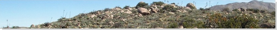
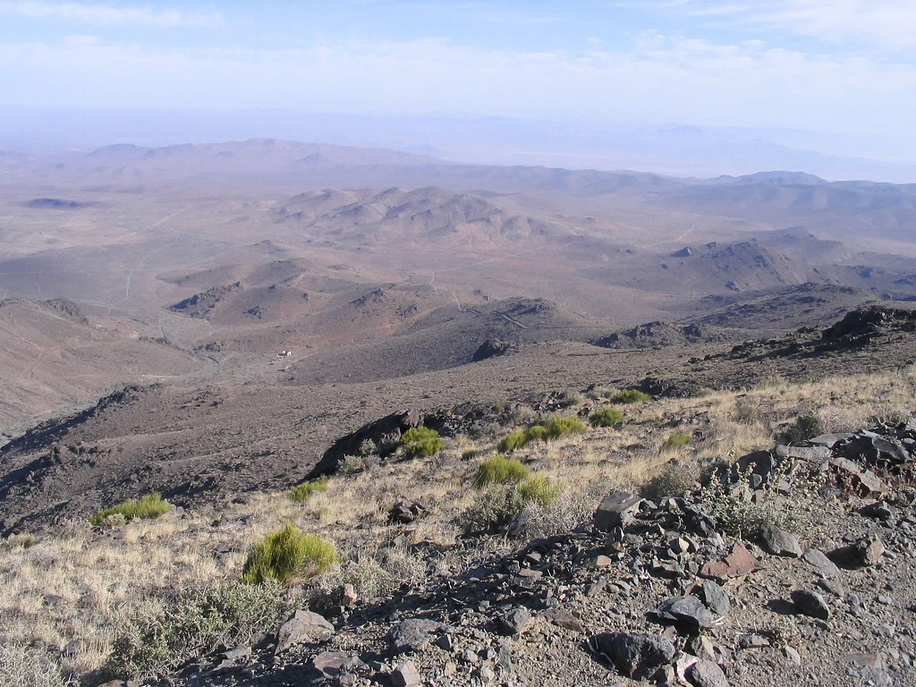
Ord Mountain is a big set of peaks north of Lucerne Valley and southeast of Barstow. It is visible as the obvious "big" peak when looking east from Interstate-15 south of Barstow, or south of Interstate-40 as one heads toward Yermo. Ord Mountain has a distinct saddle-shape profile, and features three main summits, the middle one being the highest. There's some murkiness on the legality of hiking this particular peak. The Sierra Club prefers one of the lower summits, mainly because it looks more challenging. Others have mentioned private property concerns, but I saw no signs as I drove in. There was no one around and no fences, signs or other indicators that I couldn't be here.
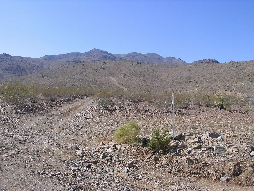
I had parked up on a slope in a pullout alongside one of the many side roads that split from the main Ord Mountain Road. I camped here and hoped I was on the right road. It looked better than most of the other roads. I could see the road higher up, but was not sure where it ended, and how far away from the top it ended. I had no real sense of my location without the map. My plan was to hike the road to its end and hope for the best. In the worst case, I'd just return to my truck and try again another day.
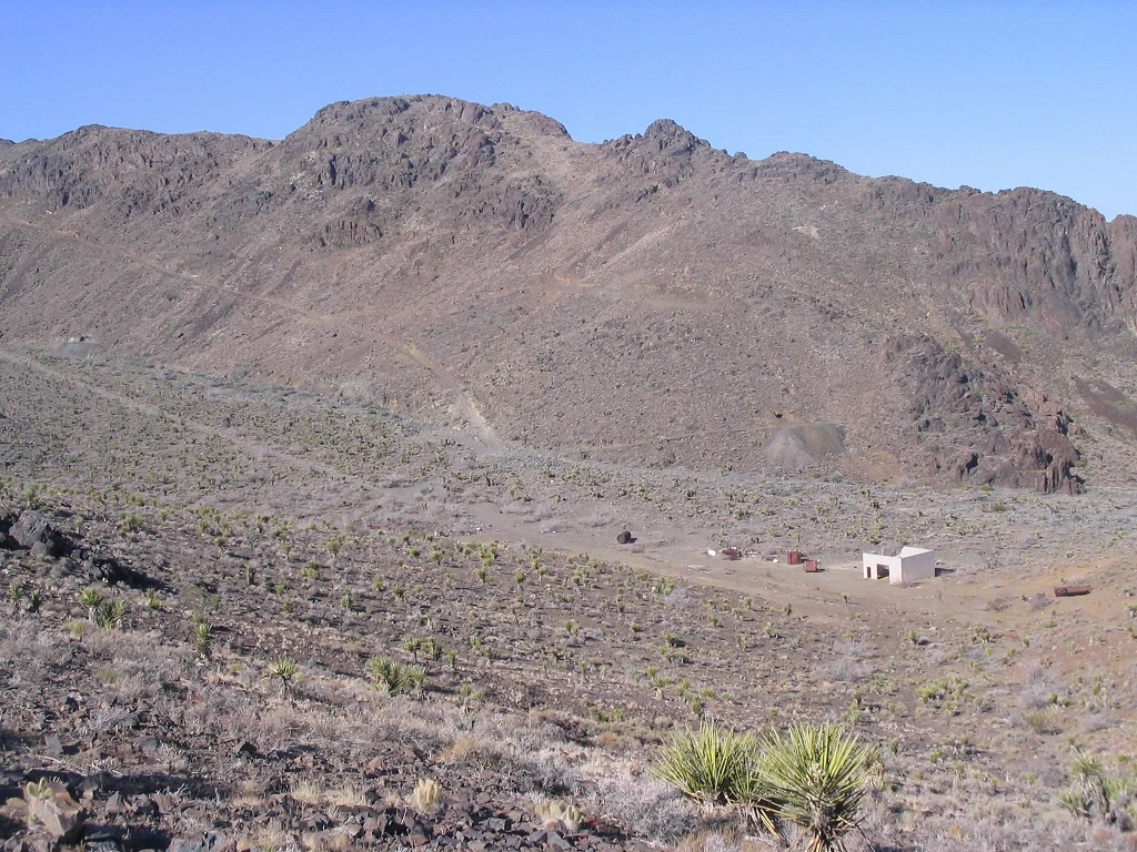
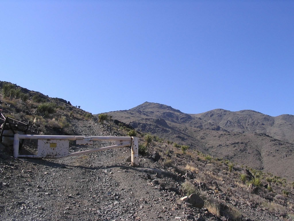
I decided to start hiking very early, desiring to know sooner than later of my fate. I locked the truck and started walking at 5:30 a.m., in cool, clear conditions. I walked up the road and followed it around some small rocky knobs. The road then bends left toward the main mountain mass. This was good. The road drops into a saddle, then starts up the slopes on the other side. I came to a locked BLM gate partway up this road. I was heartened to see no signs barring access. Below me in a valley on my right were some old mine buildings with general junk strewn about.
Looking up, the road would be visible for a ways then disappear behind a ridge. I was guardedly optimistic, but my curiosity was such that I moved very fast as I hiked, eager to see if the road continued or dead-ended. Well, it kept going. I hiked steadily higher, and the road seemed to be heading toward a big flat on the ridge above me, but still below the main range crest still high above me. So I huffed and puffed and got myself to this flat section, figuring the road would end here and I'd hike the rest cross-country.
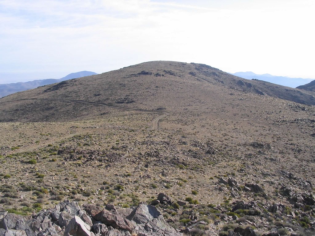
To my surprise, the road continued past this flat section, then hugged the slopes tightly and made a steep, traversing run up across these slopes. It was evident that the road would surmount the main crest above me, which was even better news. Still, I had no idea if the road went to the top, or if the top was close, or still five miles away. Thus, I hustled as best I could up this last steep section to find out.
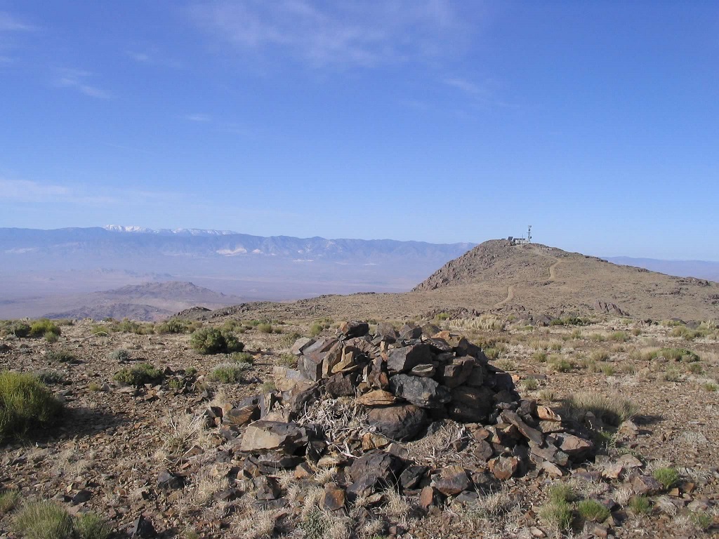
I was absolutely delighted to discover that the top was "right there", no more than a mile, if that, from where the road reached its apex at the range crest. I was now on top the summit plateau, and the gradients lessened to near level, so I made excellent time. I followed the road to the top, the very last few dozen feet being a tad steep. To here I had covered about three miles in about 90 minutes, with over 2,000 feet of gain.
After hustling this hike, I took a longer break than usual at the summit, sitting amid the various buildings and admiring the veiws onto the deserts below, and the distant mountains beyond, including snowy Mount San Gorgonio, in all its gigantic glory. Looking north and west, another rise on the summit plateau seemed like it could be as high as my current position, so to be sure, I hiked over to it, some of it cross country up easy slopes. Looking back to the towers, it was clear this spot was lower, but it offered good views, including that of yesterday's hike, Rodman Mountain.
Finally, I began the hike down. It went quick, and I made the downhill hike in just over an hour, arriving back to my truck just before 9 a.m. No one had come by apparently. I was pleased that everything had gone so well, and thought about forgetting my maps more often.
For the drive back to pavement, I followed Camp Rock Road through the Newberry Mountains, steadily losing elevation as the road drops toward Interstate-40 at the Daggett-Yermo Ordnance Depot, about 15 miles east of Barstow. From Ord Mountain Road to the interstate was 9 miles, and a very enjoyable drive. Once on the highway, I drove south to Wrightwood and cleaned up and relaxes at my parents' place they keep in town. I visited my brother and his family that evening, then started my drive home the next day, with a visit to Toro Peak along the way. Would I get beat up? Read on and see.
|


|