The Mountains of California
www.surgent.net |
| Rodman Mountain |
• Highpoint: Rodman Mountains • San Bernardino County |
|
Date: May 26, 2008
• Elevation: 6,010 feet
• Prominence: 2,010 feet
• Distance: 2 miles
• Time: 1 hour and 10 minutes
• Gain: 800 feet
• Conditions: Pleasant
California
•
Main
•
PB
I had a week off before summer teaching at ASU, so I took advantage of the time off to drive to Southern California and hike a handful of desert summits, plus visit with my brother's family and the kids. On the agenda were two range highpoints and prominent peaks in the high desert northeast of Lucerne Valley called Rodman Mountain and Mount Ord, plus a second try of Toro Peak, near Palm Desert, where I almost got into a fight on last year's attempt.
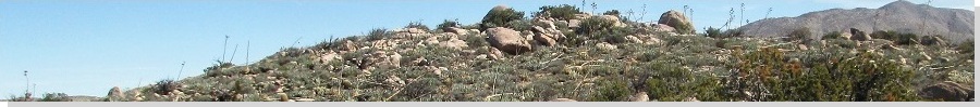
Rodman Mountain and Ord Mountain lie near one another, with Rodman Mountain east of Ord Mountain and near the western boundary of the giant Twentynine Palms Marine Training Facility. Rodman Mountain also features a rough road to the top and is a simple peak to hike, usually taking people about an hour round trip. Thus, I put it first on the agenda. I left Arizona at 10 a.m. and drove to Blythe, then routes US-95, CA-62 and CA-247 through Vidal Junction, Twentynine Palms (the city) and into Lucerne Valley, arriving around 5 in the afternoon. I had caught a break, as a "cold" front had moved through, dropping daily highs into the 80s, when low 100s are the norm for this time of year.
For me, there were a whole bunch of "firsts". In all my years living in SoCal, I never once drove highway 247, nor had reason to visit Lucerne Valley. So here I was, and I was enjoying it. It was uncrowded and scenic. I located myself onto Camp Rock Road, and followed this dirt track northeast into the BLM hinterlands. This area is popular with off-roaders, and a few were encamped at various staging areas as I drove north. The Ord Peaks are immediately to the left (west), while Rodman Mountain's mass comes into view after passing some foothills.
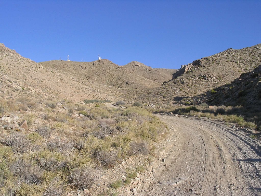
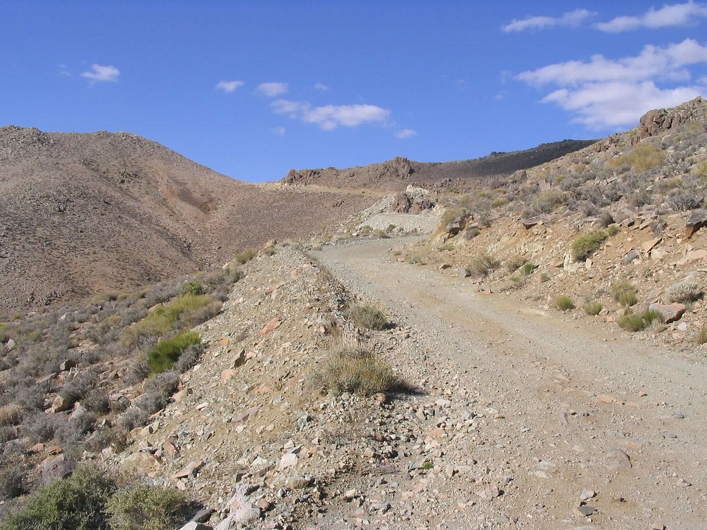
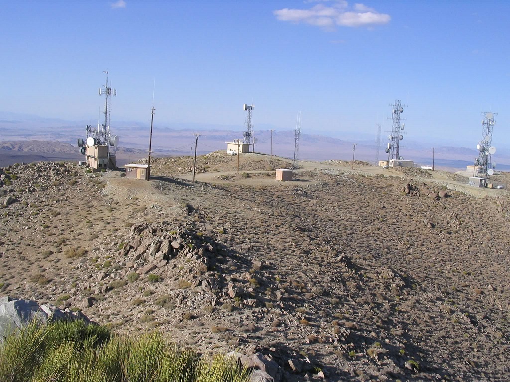
Camp Rock Road eventually comes to a junction with an unsigned, but major, gravel road heading east toward the Bessemer Mine, and bypassing Rodman Mountain along the way. Surprisingly, parts of this road had been paved in the past, but the asphalt was so rotted and chunky that it made the road worse than if it had been left as gravel and dirt. Four miles along this road, I came to a Y-split in the road, the right fork leading to the towers that sit atop Rodman Mountain's summit ridge. I drove in about three-quarters of a mile and parked when I found a decent wide spot in the road. It was pushing 5:30 p.m., but the day was calm and pleasant. I locked up the truck, grabbed my camera and some drinks, and was on my way.
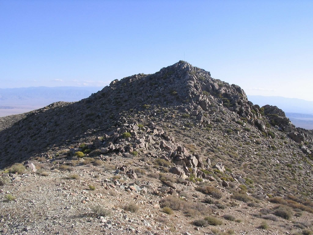
I hiked the road as it entered into a more well-defined canyon. The road then turned sharply left (north) and traversed up the slopes to come to a pass on the high ridge. Thirty minutes and 1.25 miles later, I was on top the summit ridge. I aimed for the summit towers, but quickly discovered the actual highpoint is atop a 50-foot boulder hill. Scaling this peaklet was easy. I had to actually work a little bit to earn the summit.
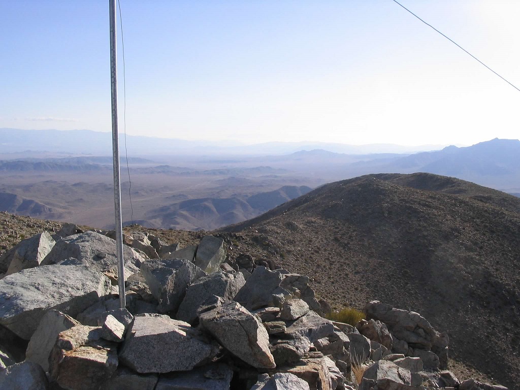
I took a break on the summit and surveyed the surrounding land. The setting sun was creating glare and long shadows from the west. The Ord Mountains stood to the west, while north were the Newberry Mountains, the Calico Mountains and Cady Peak. I could see Bessemer Mine off to the east, and looking south, the snow-covered giant, Mount San Gorgonio. I spent about 10 minutes up here.
The hike down took twenty minutes, and I was back to my truck by 6:30 p.m., with about an hour of daylight remaining. I used this time to drive west back onto Camp Rock Road, which bent west and across the northern foothills of the Ord Range. I found Ord Mountain Road, and drove this road south another two miles, pulling into an open area off the main road for tonight's bush camp. I was on the northwest slopes of the Ord Mountains, which I planned to hike tomorrow. I had forgotten my maps, however, and was not certain if I was on the right road of the many that lead into the hills. I'd find out tomorrow.
Since there's a link to my hike of Ord Mountain, it's safe to assume that I was successful.
|
|