The Mountains of California
www.surgent.net |
| Black Butte |
• Highpoint: Glenn County • Highpoint: Plaskett Ridge • Mendocino National Forest • Northern California Coastal Range |
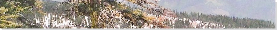
 The summit from Telephone Pass
|
Date: May 22, 2003
• Elevation: 7,448 feet
• Prominence: 2,436 feet
• Distance: 3 miles
• Time: 3 hours
• Gain: 710 feet
• Conditions: Sunny day, significant snow on the ground
California
•
Main
•
PB
We flew into Sacramento, planning a week-long vacation in and around the Mendocino Coast. After we landed, we drove north into Willows, an unexciting city on Interstate-5. Our plan was to drive mountain roads up and over the Coast Range, visiting Black Butte and nearby Anthony Peak along the way.
I was a little concerned that I could still see a lot of snow high up on the Coast Range, even now in late May. I had called the California Highway hotline, asking about the road access over the range, and they said the highways were open. I asked about the specific one I was planning to take, and I was told it was open.
We followed state route CA-162 westbound, driving across boring flat farmland into the foothills, where the roads narrowed and became curvier. We stayed on CA-162 until we came to a bend, now on Alder Springs Road, which is co-designated as CA-162 for this stretch. We were now in the forests. A sign at this junction said "Pass Closed". Ugh.
This is what I had feared, even after speaking with the highway hotline. Highway 162 loses its designation for a 35-mile segment where it actually crests the range. So technically, all of CA-162 was open, but that middle 35-mile segment may not be. Even when I brought this up on the phone, they were insistent "all of CA-162" is open. They were probably reading from a script.
We had come this far, so we decided to drive in anyway. The road gains elevation with spots overlooking canyons with outstanding views along the way. Ten miles later, the highway designation ends at the Mendocino Forest boundary. The road is still paved, but a few miles later, turns into well-maintained gravel.
As we drove in, we saw a few bicyclists coming the other way, but no vehicles, which makes sense since the pass was apparently closed. Then, a Forest Service truck came toward us. I motioned for him to stop, and he confirmed that the pass was still closed. By now, we should have assembled the multitude of clues and turned around, but we didn't.
As we drove higher, we saw small snow patches that soon melded into lengthy snow fields. But the road was still drivable, so we kept going. Then, we came upon a snowplow beside the road, and a couple guys just sitting there. We asked about the road, and they said they had just plowed it open not ten minutes earlier! What stupid luck. We could now proceed. Had we left a half-hour earlier, we would have had to turn back.
We were a couple miles from the Black Butte side road, and the road itself was a mush of mud and newly melted snow, but our rental truck did well and we were able to park along the road at the junction of the side road that leads toward Black Butte. This side road was not plowed, so we'd have to walk it. Given our good luck a few minutes earlier, we were very pleased just to be here. So we got dressed and packed and started our hike.
We walked the side road, or more accurately, walked on the snow covering the road, for about a mile. There were no human footprints in this snow, but we saw a well-defined bear paw-print, the beast probably having been here just a few minutes earlier. We kept an eye out for bears, but never saw any.
Without snowshoes, we sunk to our ankles, knees and even up to our waists. We came to the end of this side road, a clearing below Black Butte's top, surrounded by trees. So far, so good. And wet, too. Our pants and shoes were soaked.
The top was near, 400 vertical feet above us, but as we progressed up the slopes, the snow was much less consolidated. In places, we were up to our chest in snow, inching forward ever so slowly, mainly going from one tree to another, or rock outcrop, whatever looked reachable. I would usually break the path, with βð holding on to me from behind. This worked well in that we made forward progress.
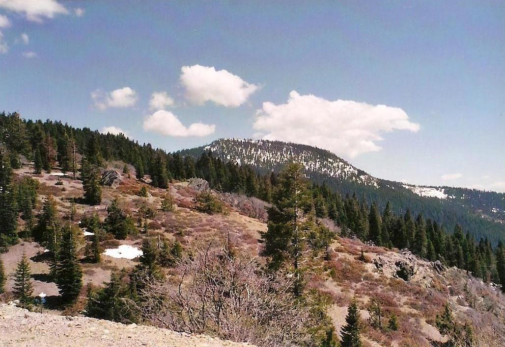
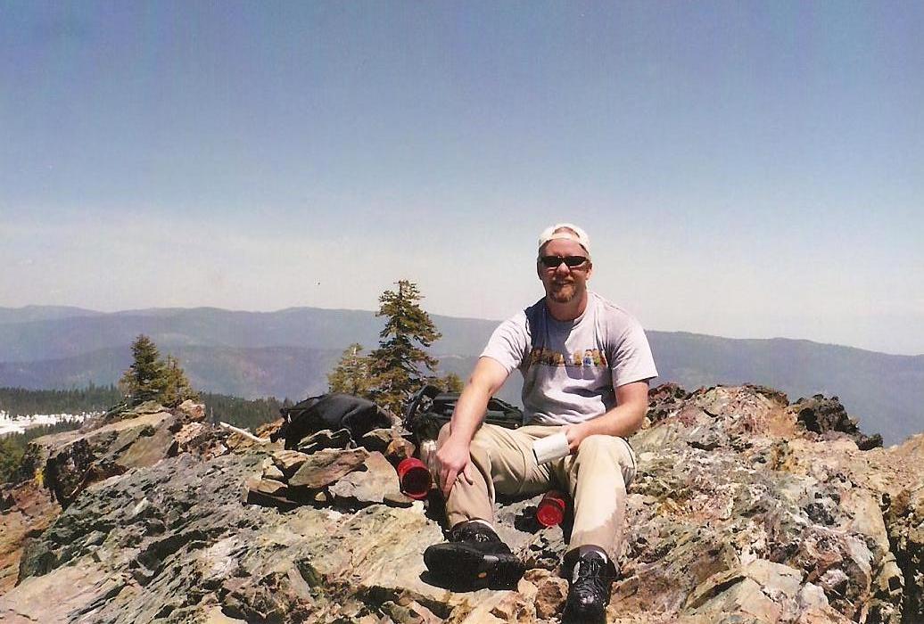
Fortunately, the final hundred feet was much more solid, and we arrived to the summit after 90 minutes after starting. We rested and sat on the rocks, looking around at the amazing views. Big Lassen Peak was visible way to the east. Other peaks also stood out in all directions, including nearby Anthony Peak. The day was spectacular, with clear skies and pleasant temperatures. Overall, it was a beautiful summit in a beautiful region. We were the first to visit the peak in 2003, not surprising given our good luck with the plow team.
The downhill went much better. We followed our own tracks, meaning we'd already consolidated the snow, and also had gravity working with us. The downclimb back onto the flatter road portion took 20 minutes, but the final mile walk out to our vehicle took awhile. The sun was melting the snow quickly, so we had knee and waist-deep mushy crud to barge through. We returned to our vehicle after a total of three hours on the hike, but exhausted and soaked ... literally from head to toe. We changed into dry clothes and continued west on the forest road.
I couldn't resist inspecting the road to Anthony Peak, but we encountered snowdrifts in the road, so we abandoned any idea of hiking up to the peak, and decided to come back another time (which we did, in 2005). Instead, we drove down into Covelo and on to Fort Bragg where we spent two days fish-eating, hippie-watching and fog-wandering.
After a couple days on the coast, we came back inland and had a successful hike to the west peak of Cobb Mountain, thus allowing me to make amends from a failed attempt of that highpoint from 2001.
|


|