The Mountains of California
www.surgent.net |
| Cobb Mountain & West Summit |
• Highpoint: Sonoma County (West summit) • Highpoint: Mayacmas Mountains (Main summit) |
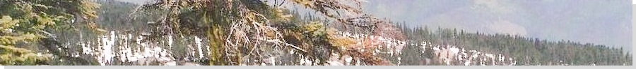
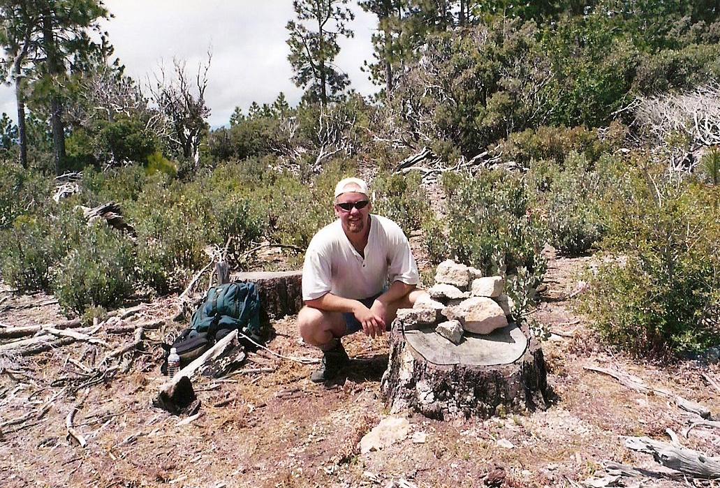
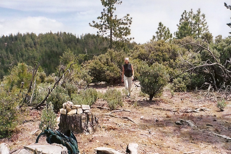 Walking toward the cairn
|
Date: December 19, 2001 (Cobb Mountain summit), May 25, 2003 (Sonoma County HP)
• Elevation: 4,720 feet (summit), 4,480 feet (County HP)
• Prominence: 3,160 feet (summit), 80 feet (County HP)
• Distance: 6 miles in 2001, 7 miles in 2003
• Time: 4 hours in 2001, 5 hours in 2003
• Gain: 2,500 feet
• Conditions: Dense fog and darkness in 2001, lovely in 2003
California
•
Main
•
PB (Summit)
•
PB (CoHP)
The highest point of Sonoma County is the western summit bump of Cobb Mountain, which straddles Lake and Sonoma counties. In good conditions, this is an easy hike following roads to the main summit (and towers), then down dirt roads to the Sonoma County highpoint. As I would discover shortly, in bad conditions, getting around up here can be extremely confusing and frustrating.
My first attempt at the county highpoint was in December 2001. It was in the afternoon when I got started, but I didn't think the late start would affect me adversely. I did not have a detailed map other than what was printed in Gary Suttle's California County Highpoints book. Nor did I carry a compass. Nevertheless, I felt I would be alright on this little jaunt. How hard is it to follow a road? I'd soon find out.
The hike starts in the quaint mountain town of Whispering Pines inside Lake County. I parked along the main highway and walked up the paved roads to the last house, then past it, losing the pavement at an old gate. The road continues, but now as a derelict path mainly used by ATVs and dirtbikes, and the occasional hiker. I made good time up this road, gaining about 2,000 feet in a little over an hour. It was actually a pleasant hike and I had no complaints. I came upon a "summit", on which sat a small building and a buzzing generator. Now the fun began.
I followed Suttle's directions, which were accurate but assumed that one started at the same points as he described in his book. Long story short: I could not find road junctions as he described, and to make things worse, dense fog started to roll in, reducing my visibility to just a few yards. Being so close to the winter solstice, dusk was an hour away. I grew frustrated by the mismatch between the book and what I was seeing. A couple times I'd backtrack to the first summit I had come upon, and retry my steps. The fog became thick and I was losing my confidence on this outing.
Twice I came upon another hilltop, this one covered in a major set of towers. Was this the county highpoint? No, it couldn't be, but just to be safe I tagged anything that looked high. I even descended the road beyond this hilltop, but with the fog as thick as it was, and the cold wind blowing, and the setting sun, common sense finally entered my thick head and suggested I abandon my county highpoint attempt. I backtracked to the first summit and safely down the path-road to my truck, staying the night with my sister in San Francisco. The storm that was coming in turned out to be a big one, dropping snow down to 2,000 feet elevation.
I had in fact been successful in reaching the summit of Cobb Mountain, the hilltop with all the towers, but not in reaching the Sonoma County highpoint. I could not make sense of where my error had been, and was frustrated by the whole experience. Obviously, I'd have to come back and try again.
In May 2003, We flew to NorCal for a vacation and hiking, centered around a few days in Fort Bragg. We were able to visit the highpoint of Glenn County, Black Butte, earlier in our trip. After a few days in Fort Bragg, we headed inland and aimed for Whispering Pines, and a second go-round with the Sonoma County highpoint.
Now it was time to figure out what I did wrong 17 months earlier. From the first summit, we hiked to the main summit with the towers, then went left at a junction beyond this point, down about 400 feet to bottom out at a small saddle, covered in a huge pile of logs. The western summit, which is the Sonoma County highpoint, lies just beyond. The climb was trivial and we spent just a moment to explore and shoot an image of ourselves. It was overall a very easy journey.
Basically, I got my summits mixed up in 2001. There are three, an eastern one (which you come to first), the main middle one (the Cobb Mountain highpoint) and the western one (the Sonoma County highpoint). Suttle's directions assume you begin your point of reference at the main summit. My point of reference was from the eastern summit, which I assumed at first was the "main" one. No wonder nothing matched up. Also, some roads on the mountain are not shown on the map, and these junctions would add to my confusion. If the weather had been better I could have seen the broader scene easier. In any case, I now knew my error, and was happy to fix it. This is a fun hike, but not one I want to be doing twice.
From here we drove into Clearlake, where we stayed for the night before flying back to sunny Arizona the next day.
|
|