The Mountains of California
www.surgent.net |
| Anthony Peak |
• Highpoint: Mendocino County • Northern California Coastal Ranges |
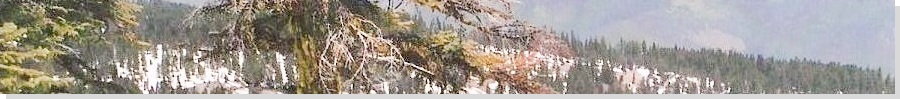
 The Peak as seen from Covelo
|
Date: July 27, 2005
• Elevation: 6,954 feet
• Prominence: 1,940 feet
• Distance: Drive-up
• Time: 4 hours (whole journey)
• Gain: None
• Conditions: Warm and clear
California
•
Main
•
PB
Anthony Peak is the highest point of Mendocino County, and not far from Black Butte, the highpoint of adjacent Glenn County. Both peaks are easy and often hiked together on the same outing. The biggest challenge is getting there, requiring a minimum of thirty miles of dirt mountain roads whether from the west side or east side.
In 2003, we hiked Black Butte, which was quite an epic due to abundant snow still on the ground, which shut the access road. So, two years later, we were back in the area. This time, we would visit Anthony Peak along with all our other adventures during our week in Northern California.
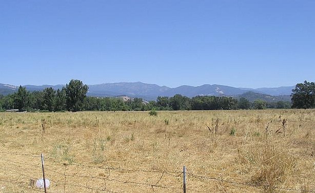
For our 2005 trip, we circled around to the coast, visited Fort Bragg and then drove into the hills and stayed at the Orr Hot Springs, where we started today. We got a late start since we had all the time in the world, so we left the lovely confines of Orr Hot Springs and drove to Ukiah along US-101, then north a few miles to Longvale and the turn-off for CA-162 toward the little town of Covelo.
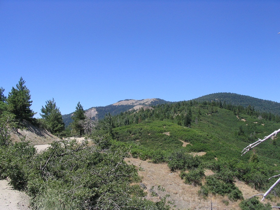
We filled the tank and got snacks in Covelo, then started up the long forest route to the top of the Coast Range. We went north out of town, then east, following signs to a Y-junction, where we went left. CA-162 officially ends here, but the pavement continues a few more miles but soon ends, the remainder being good, well-tended gravel road. The drive was enjoyable, and our little Chevy Impala passenger vehicle handled the road with little trouble. We drove 20 miles to reach the crest, which took us about an hour. The road is marked as Mendocino National Forest Road FH-7. At the crest, we took a break and turned off the motor to let the engine cool.
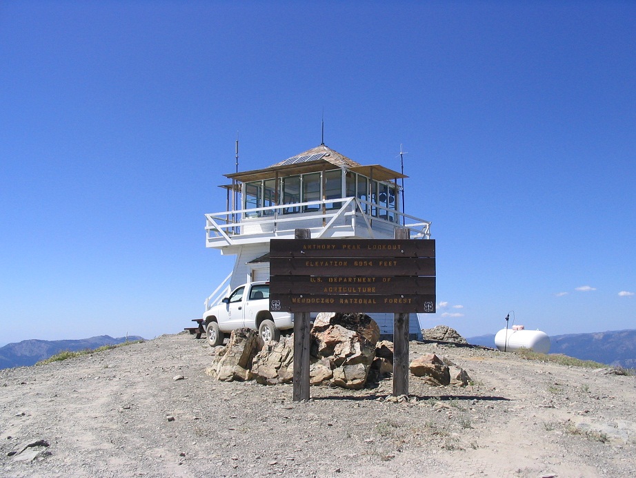
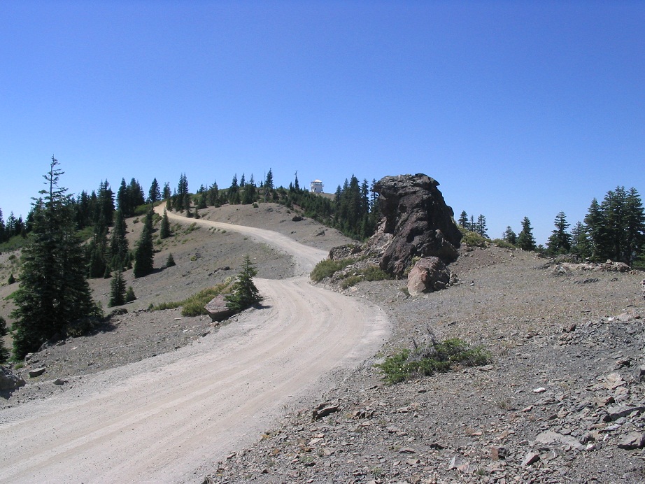
We then took the turn-off to Road M-4, which goes north toward Anthony Peak. We followed this good road, gaining steeply to top out on Anthony Peak, 5 miles from the crest junction. The peak is bare of trees and features an active lookout tower, hence its good road access. On this day, Tracy was manning (womanning?) the post, and she was more than happy to have company. She let us up to the platform and showed us around, pointing out her tools plus far-away landmarks.
We spent about 45 minutes up top, in pleasant dry conditions, temperatures in the high 70s. She lives in Covelo and only mans the tower in daylight hours, acting as a back-up for the regular tower person. The visit was quite fun, and the views were tremendous. We could see Black Butte to the south. Lassen Peak stood out above the haze of the Central Valley, but we could make out its outline ... barely. Peaks in the Yolla Bolly wilderness loomed high to the north.
Soon, we bid Tracy farewell and thanked her, and started down. The Chevy Impala was a champ and took these roads in stride. We decided to descend the range on its east side, making the long drive down into the Central Valley, arriving in Willows on Interstate-5 about two hours later. From here, we drove south 90 miles to Sacramento and took a cheap and scary hotel in town, had a nice dinner, and flew out the next day for home.
|
|