The Mountains of Arizona
• www.surgent.net
|
| West Silver Bell Mountain |
• Highpoint: West Silver Bell Mountains • Ironwood Forest National Monument • Pima County |
|
Date: January 25, 2020
• Elevation: 3,100 feet
• Prominence: 1,140 feet
• Distance: 2.4 miles
• Time: 3 hours
• Gain: 1,180 feet
• Conditions: Sunny and pleasant, hazy skies in the distance
• Teammates: Scott Peavy, Mike V.
Arizona
•
Main
•
AZ P1K
•
PB
•
LoJ
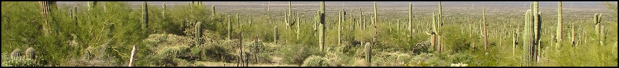
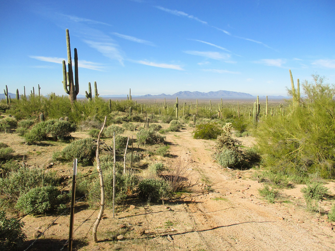
The West Silver Bell Mountains are in northern Pima County, within the Ironwood Forest National Monument. To the east are peaks like Ragged Top, Waterman Mountain and Silverbell Peak. To the west are peaks on the Tohono O'odham Reservation. Mike V. set this quick outing up, getting Scott Peavy involved and then me. I was immediately interested. We met before sun-up at the Safeway parking lot off of Interstate-10 at the Chandler Boulevard exit, Mike was driving. I had not seen Mike in over a year.
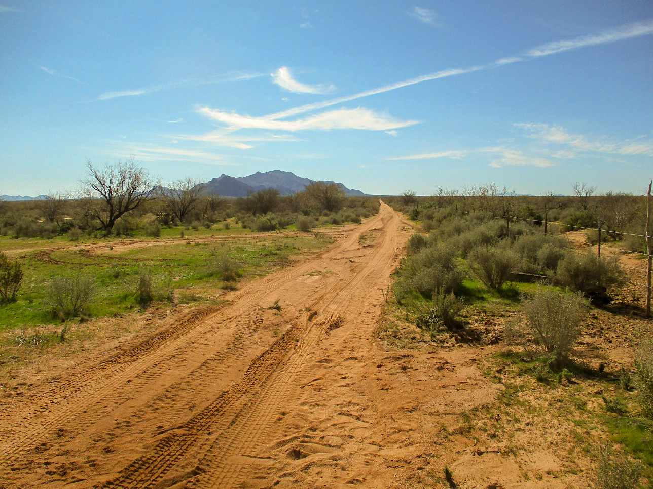
We took Interstate-10 to the Sunland Gin exit, then south about 16 miles to where the road bends west, now called Aries Road. We wanted a track one mile west of the bend. The peak was visible in the distance, four miles away. The track is gated but public access is allowed with a permit, this being State Trust land. Since I was riding shotgun, I was the gate master. The gate itself was difficult to disengage and then re-engage. It was a wire-stick crumple gate and it took a lot of effort to get it to open and close.
The road is narrow and sandy, but not too bad. Mike's Jeep handled it well and never needed 4-wheel drive. There were a few spots of erosion with leans, and the usual small arroyo crossings. The last half was narrower and windier. We had taken the left at a Y-junction that angled a little more to the southeast than true south. The right would have kept us on the proper south track, but where we were was working --- it was aiming right toward the peak so there was no reason to backtrack out. Mike was able to get us all the way to a hard-right bend at another wire-stick gate, this on the Pima-Pinal County line. We were at the base of one of the main northwest ridges of the peak, a perfect place to park and start hiking.
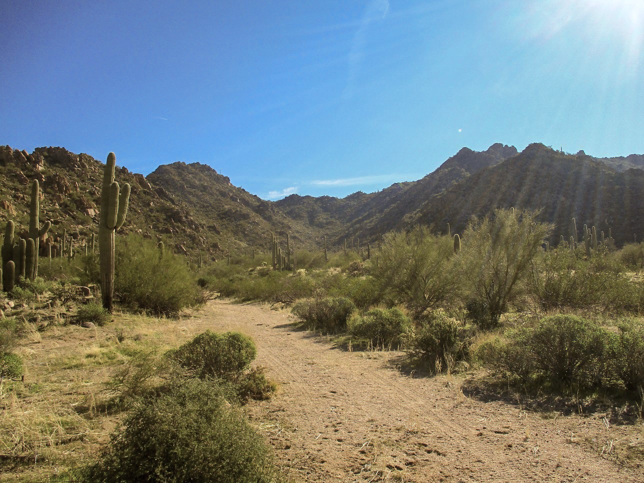
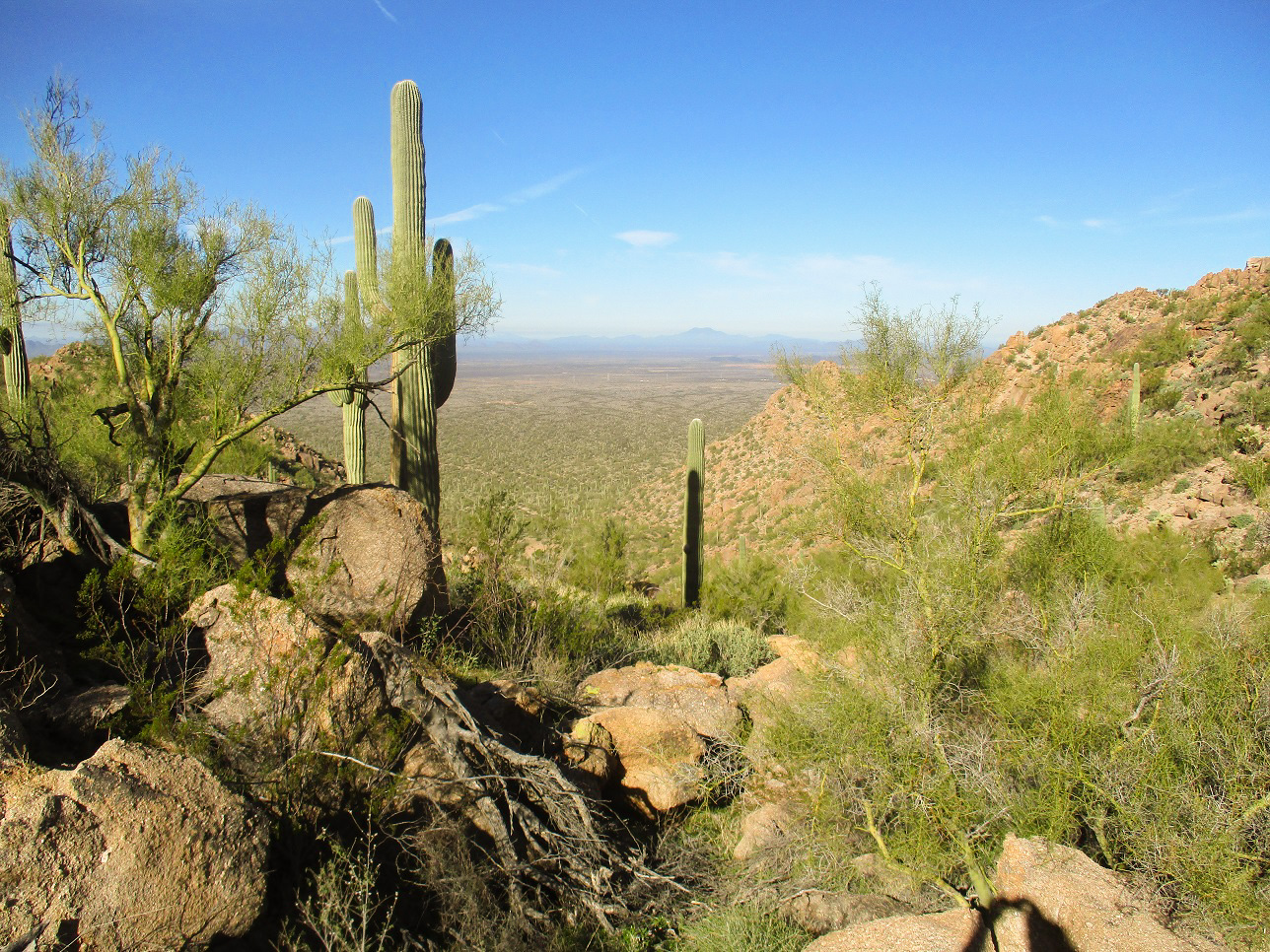
We were already very close to the highpoint, just a mile or so on a direct line to the southeast. We had heard from our fellow climbing pals that this was a very straightforward peak with excellent footing the whole way up. We started hiking at 7:50 a.m., crossing that second gate (Scott helped me close it) and walking the track a little ways as it bent southeast toward a west-facing canyon. The track soon petered out and we entered into the canyon, weaving through the rocks and brush, almost always finding an open lane through the obstacles. Just a handful of times did the brush close in on us. We made very good progress, covering about a half mile and gaining about 600 feet.
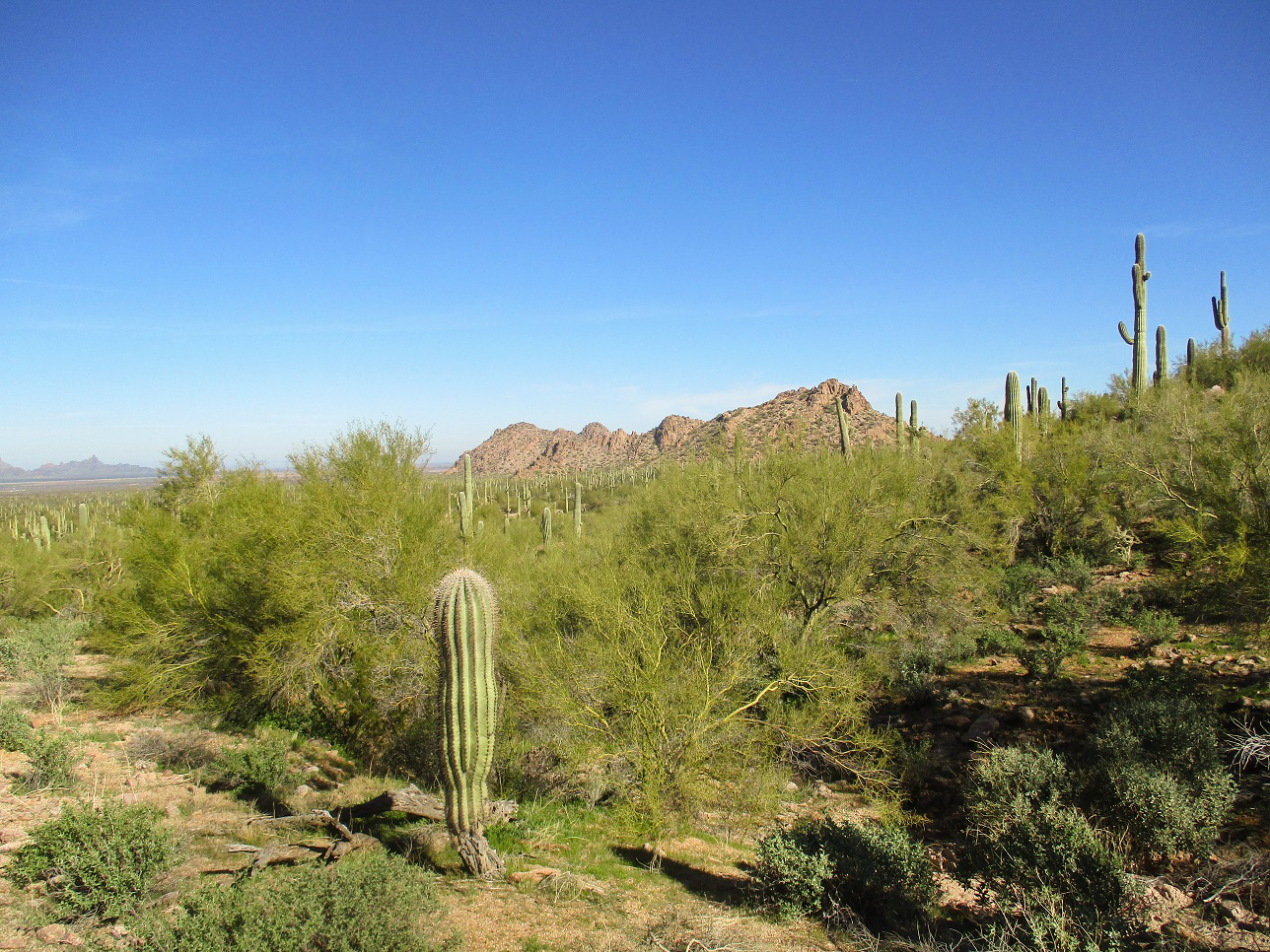
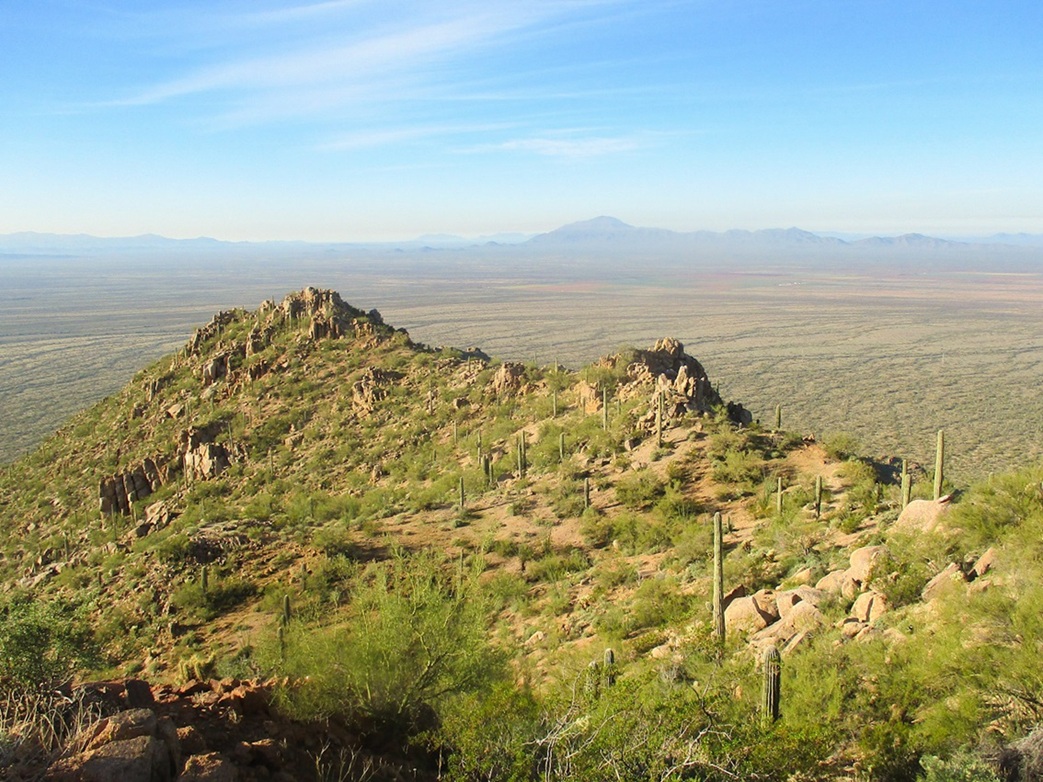
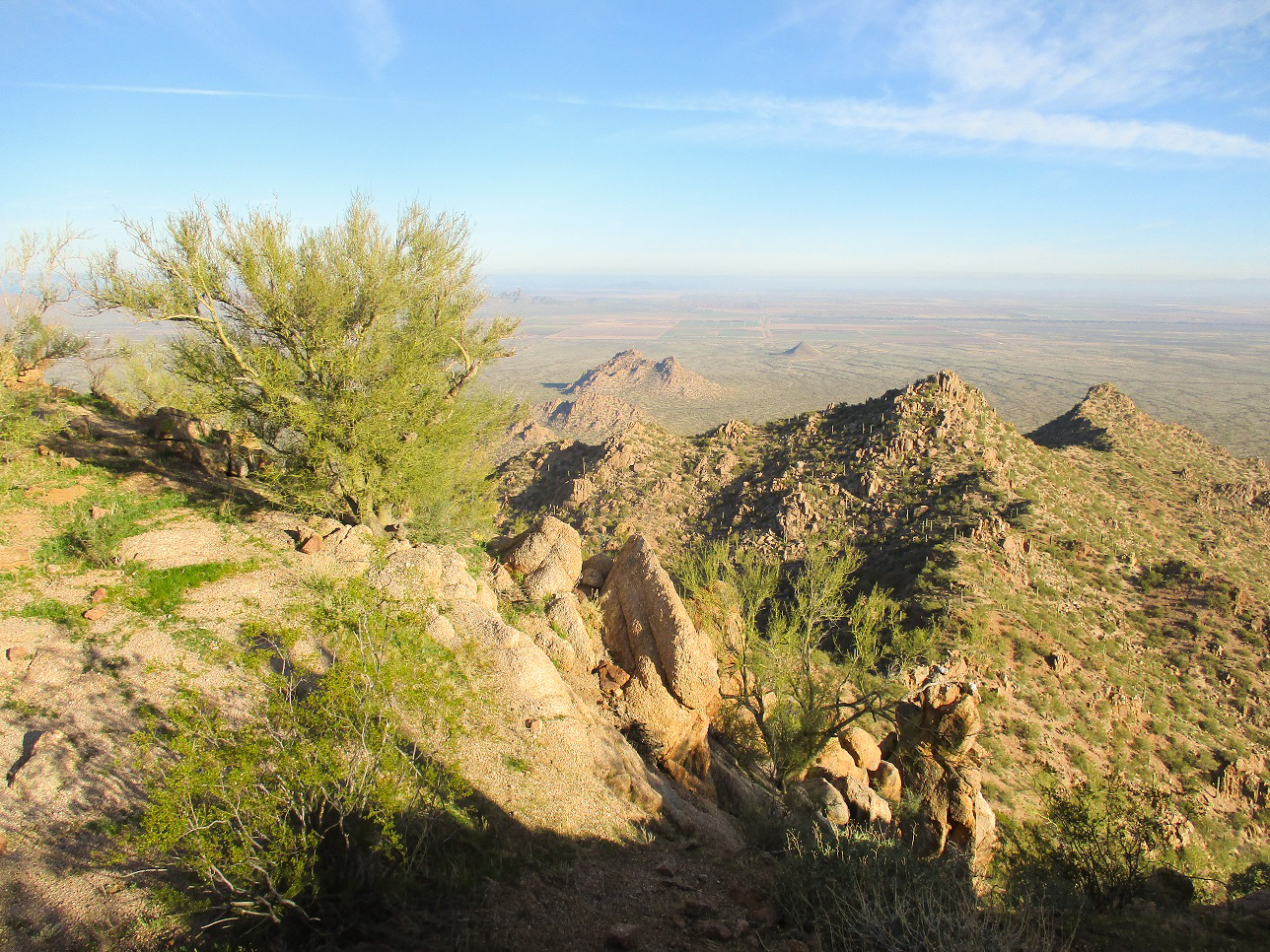
We were in a bowl now, to the east a ridge conecting Solo Peak (the main peak to the north of the highpoint) to the highpoint itself, which for the moment was not visible. To the south, the canyon bent upward toward a rocky ridge to the right of the summit. Large rock oucrops lined this ridge and the slope to the west (our right).
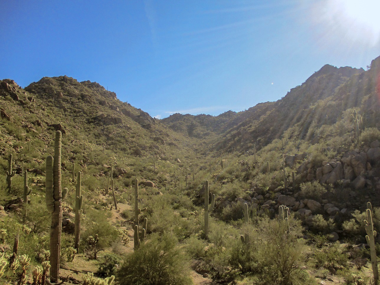
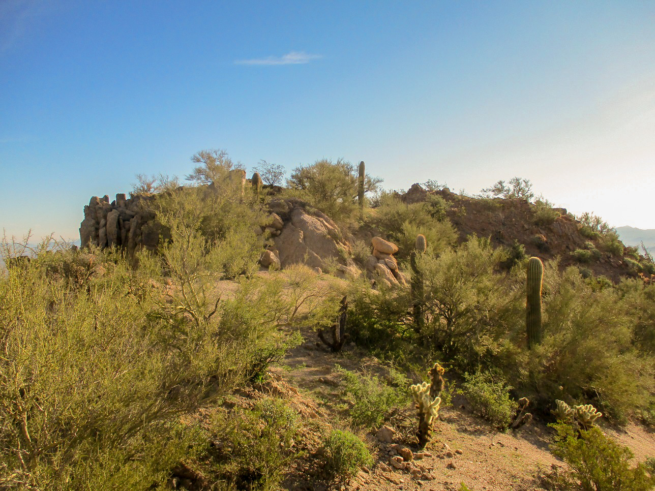
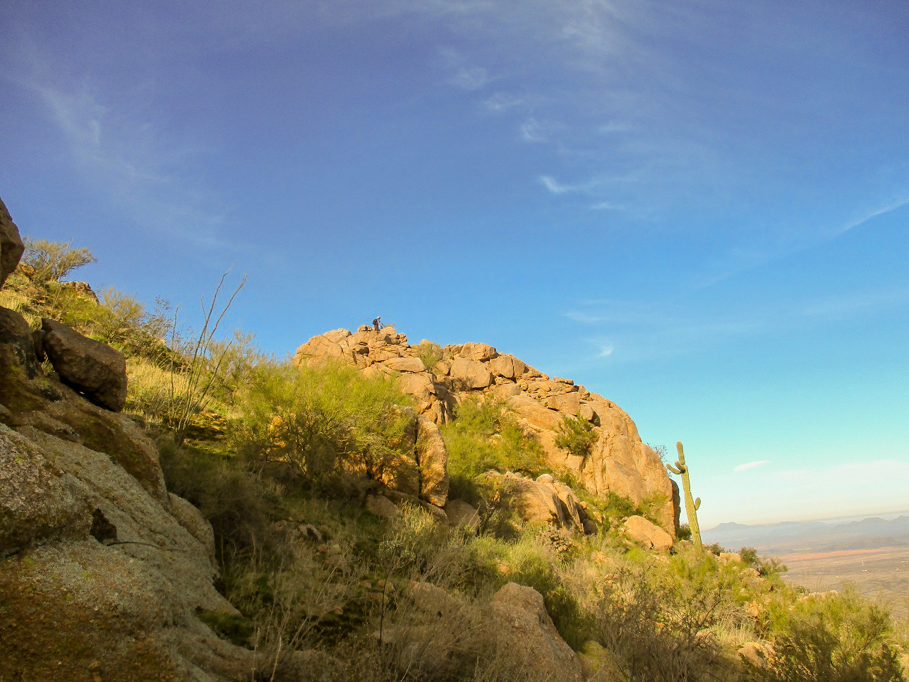
Climbing up the higher canyon, the brush lightened and we had more open terrain. It was a little steeper, but the ground was solid, held together by clumpy little grasses that essentially formed stair-steps. We were soon at this higher ridge. The summit was just above us now, to the east. We climbed up a meager path skirting a rock outcrop, gaining about a hundred feet. This led to the summit ridge itself, and we were soon on the highest point. Scott's GPS said we'd covered 1.1 miles in one hour, ten minutes. Yes, it had been a very straightforward, efficient climb.
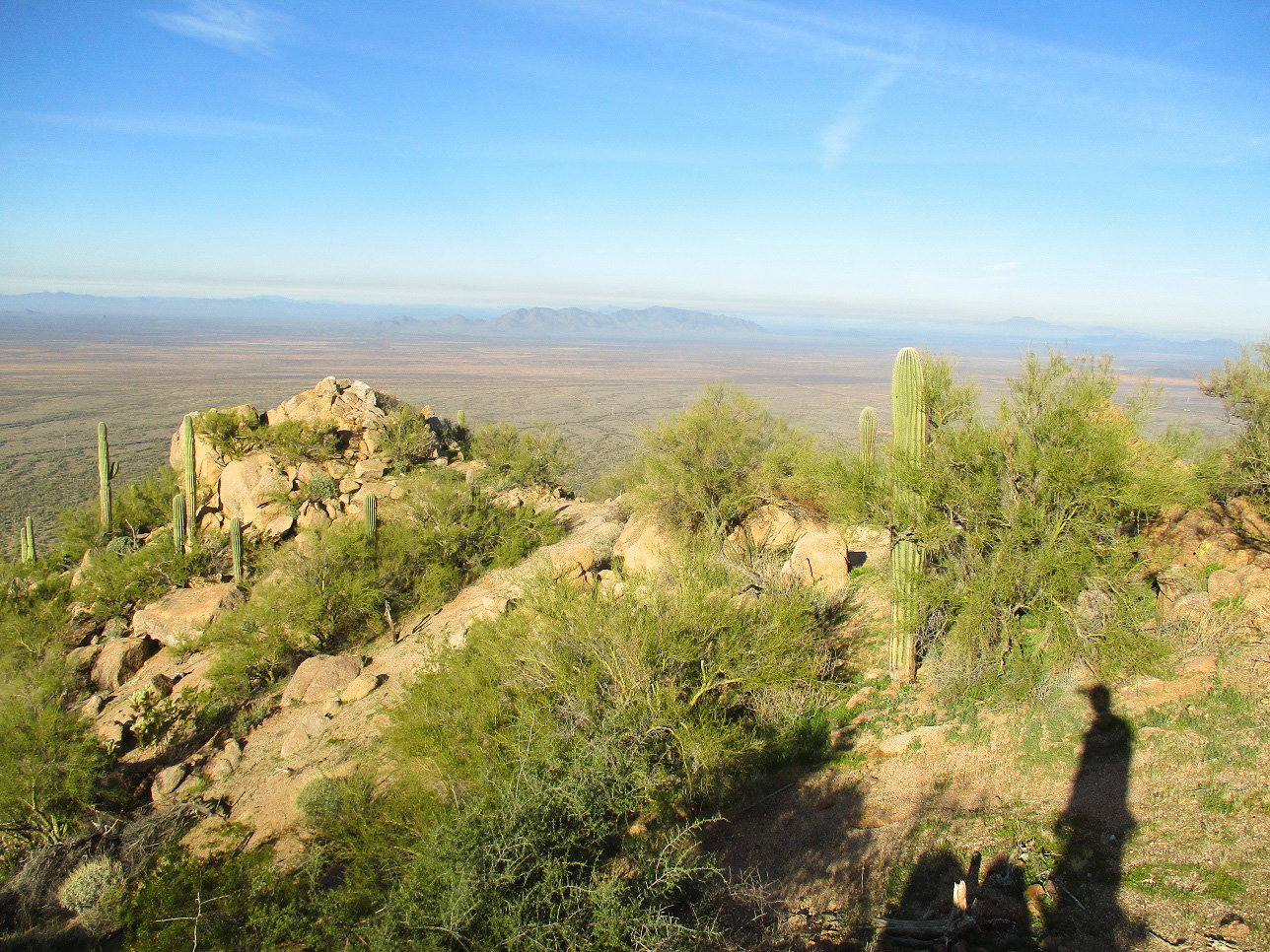
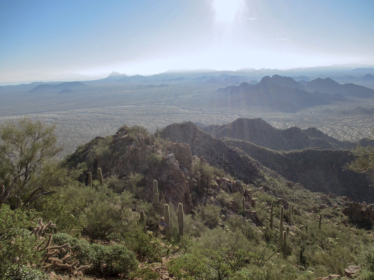
We took a fairly long break up top, almost 45 minutes. The day was sunny and cool, but warming into the 60s. There was moisture in the air, forming haze layers in the far valleys. We signed into the log, the first people to do so since Matthias was here in 2018. There is a witness marker set in a rock to the west of the top, but no name is stamped on it ... and we had no luck finding the benchmark where we were, not sure if was pulled out ages ago, or under three feet of rocks.
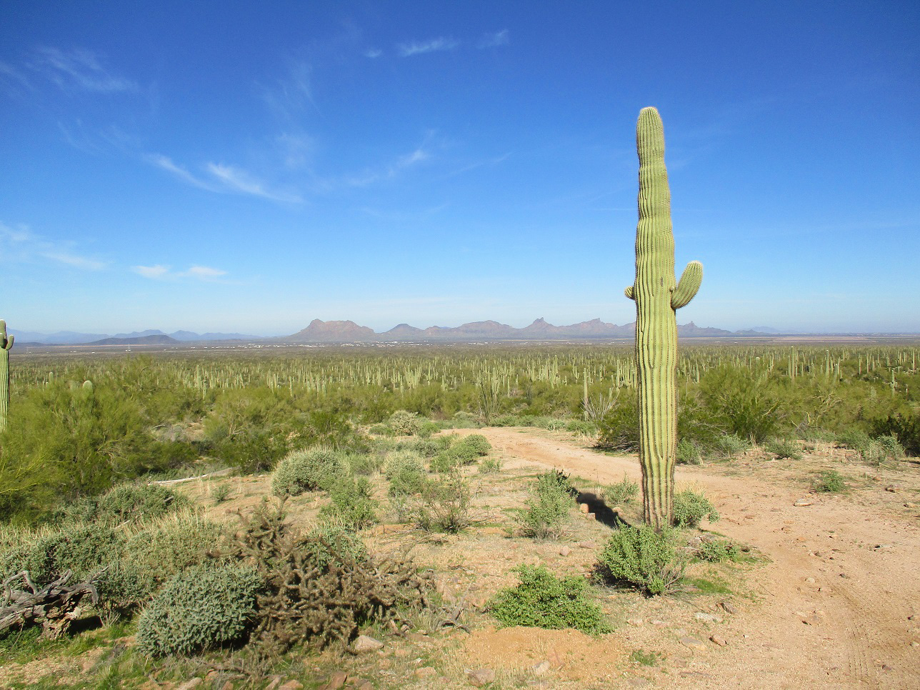
We played the "how many peaks can I see that I've climbed" game. Me, I could see Silverbell, Waterman, Rincon, Mica, Pinal, Picacho, Newman, Wrightson, Hopkins, Keystone, Casa Grande, Gu Achi, Table Top, and Wasson. Those were definites. Others I probably saw but were not sure of (due to haze, distance or a bad angle) was Kitt, Coyote, and Baboquivari. We were surprised not to see it as it's usually visible from every mountaintop in southern Arizona.
For the hike down, we followed the same route in general. As we were ascending, we'd spotted something red in a rock outcrop on the summit ridge, west of the highpoint. So on the descent, Scott walked over to it to see what it was. He picked it up and packed it out. It was an old solar-panel holder. There was evidence of an encampment up here and although we were about 40 miles north of Mexico, the crossers do get this far and they have have been known to use these mountains as lookout positions. We saw just a couple clothing items, but no significant trash.
We were back to Mike's Jeep after another hour, the whole hike taking just a shade over three hours. We relaxed back at the car before driving out, and we were back in town a little after noon, partly delayed by a couple crashes on the interstate that forced us to take side roads through Sacaton to bypass the crashes. We shook hands and said our thanks to everyone back at the Safeway before heading our individual ways. I was pleased to hike this peak and thank Mike and Scott for organizing it. Mike's Jeep was more than sufficient for that track. In my Subaru, I would not have felt entirely comfortable for the last half, although it could have made it if I was slow and careful. The track itself has almost no rocks, but it is flat, and if it has rained and still moist, it could be a challenge to drive.
|

|